
Interstate 80 Eastbound - Carbon County
| Interstate 80 East | |
|---|---|
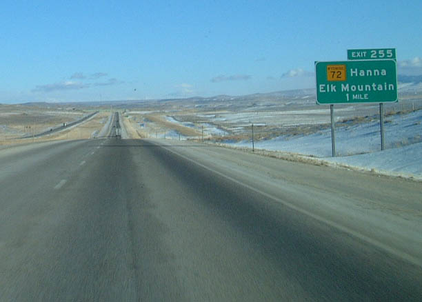 |
Eastbound Interstate 80 approaches Exit 255, Wyoming 72. Wyoming 72 is a north-south route that connects the communities of Elk Mountain to the south and Hanna to the north. Traffic accessing U.S. 30 and U.S. 287 to the north may use Wyoming 72. Near this interchange is a "Strong Wind Possible Next Five Miles" sign along. Signs like this one are frequently found along Wyoming highways, and they are generally placed every five miles, thus implying that strong wind is possible throughout the entire state! In our experience, the winds are always blowing in the section of Interstate 80 between Walcott Junction and Quealy Dome Road, so these signs and reminders are warranted. Snow fences along both sides of the highway seem to reinforce the fact that the wind can blow. The winds are stronger here because the land is of a lower elevation than the mountains to the south and north of this location, thus creating a wind funnel. Photo taken 02/04/02. |
 |
Eastbound Interstate 80 reaches Exit 255, Wyoming 72. This is the only overpass on Interstate 80 between Sinclair and Laramie; all of the other crossings are underpasses or bridges. Elk Mountain dominates the skyline along eastbound Interstate 80 between Walcott Junction and Exit 255, Wyoming 72 near Hanna and the town of Elk Mountain. Elk Mountain (elevation 11,156 feet) is one of the northernmost mountains in the Snowy Range, which extends southward toward the Colorado Rockies. While elevations in those mountains exceed 12,000 feet, Interstate 80 does not reach elevations greater than approximately 8,000 feet between Walcott Junction and Arlington. Most trees grow at a higher elevation (due to the increased precipitation), so Interstate 80 does not pass by very many trees. Elk Mountain itself is partially within the Medicine Bow National Forest, but access to the peak itself is only available through private property. In general, it is difficult to obtain permission to pass through the private property to reach the public lands on the mountain. Photo taken 02/04/02. |
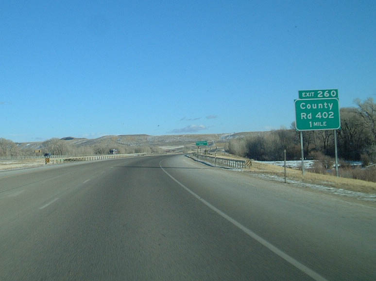 |
Eastbound Interstate 80 approaches Exit 260, Carbon County Route 402. This route leads to the community of Elk Mountain via a dirt road. Paved access is via Wyoming 72 (Exit 255). Photo taken 02/04/02. |
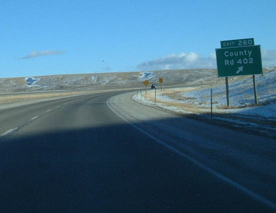 |
Eastbound Interstate 80 reaches Exit 260, Carbon County Route 402. Ideally, this would be signed with a blue pentagon shield rather than text. A recent innovation in Wyoming has been the construction of wind turbines to harness the wind energy along the northern reaches of the Snowy Range. These turbines were placed in 1997-1998, and they have successfully generated electricity that has been added to the regional grid. This is a relatively small wind farm compared to those found at the Altamont Pass along Interstate 580 in central California or near Beaumont along Interstate 10 in California. However, the potential to expand the wind turbine count here is large, simply because there is so much wind to be converted into energy. Photo taken 02/04/02. |
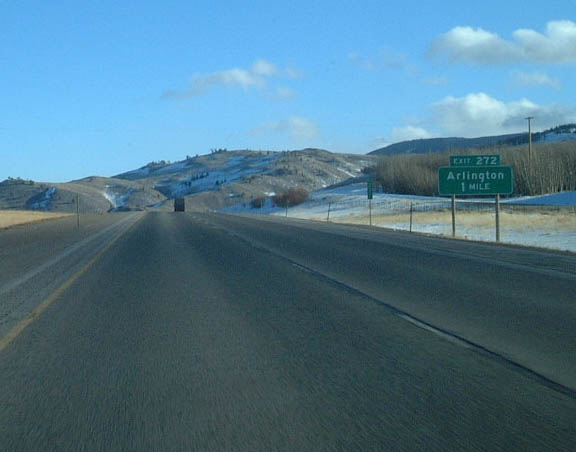 |
The next exit along eastbound Interstate 80 is Exit 272, Wyoming 13, Arlington. The ridge to the left (northeast) of this picture supports new, wind-powered turbines. These turbines have been generating electricity since the mid-1990s. Photo taken 02/04/02. |
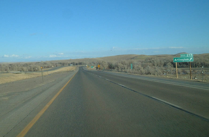 |
Eastbound Interstate 80 reaches Exit 272, Wyoming 13 in Arlington. This is Wyoming 13, but there is no shield on the advance guide signs. Although it may not seem like it in this photo, the section of transcontinental Interstate 80 most likely to be closed is the stretch of Interstate 80 near Arlington. This is primarily due to the steep grade on westbound after Exit 272 as well as strong winds, blowing snow, and black ice. Snow fences and sand have partially mitigated these issues, but nevertheless, Interstate 80 around Arlington may be treacherous in the winter and even in the summer, as severe thunderstorms are not uncommon. Photo taken 02/04/02. |
 |
 |
Page Updated September 30, 2005.
|
About Contact FAQ |
Spotlights Interstate Guide |
Social Media:
 |
|
© 2000-25 AARoads.com | All Rights Reserved | Privacy Policy / Terms of Use
|
||