Interstate 80 Eastbound - Albany County
| Interstate 80 east | |
|---|---|
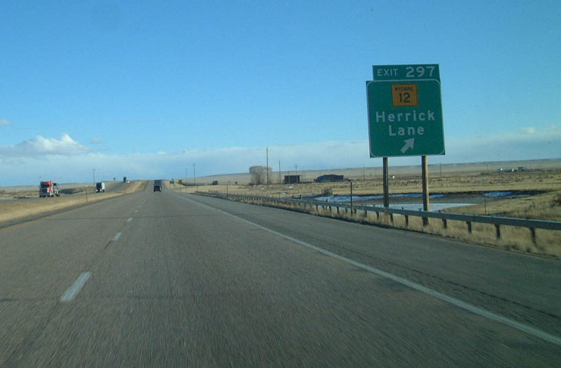 |
Now in Albany County, one of the first exits along eastbound Interstate 80 in the Laramie Basin is Exit 297, Wyoming 12 (Herrick Lane). Interstate 80 plies across the high altitude desert at elevations over 7,000 feet. From this point, the distant Laramie Mountains are about 25-30 miles away; it takes a little less than a half hour to reach Telephone Canyon, through which Interstate 80 crosses the Laramie Mountains. The city of Laramie is not visible because Laramie sits in a mini-basin along the Laramie River. Photo taken 02/04/02. |
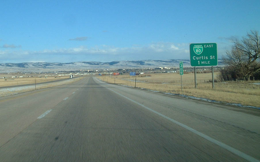 |
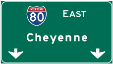
Eastbound Interstate 80 approaches the city of Laramie, known as the "Gem City." The four exits that serve Laramie are: Exit 310 (Business Loop I-80/Curtis Street), Exit 311 (Wyoming 130 and Wyoming 230/Snowy Range Road), Exit 313 (U.S. 287/Third Street), and Exit 316 (Business Loop I-80 and U.S. 30/Grand Avenue). This is the first sign for the first Laramie exit: Exit 310, Junction Business Loop I-80/Curtis Street. In the distance, the skyline of the Gem City is visible, marking a major change from the relative monotony of the Laramie Basin. Photo taken 02/04/02. |
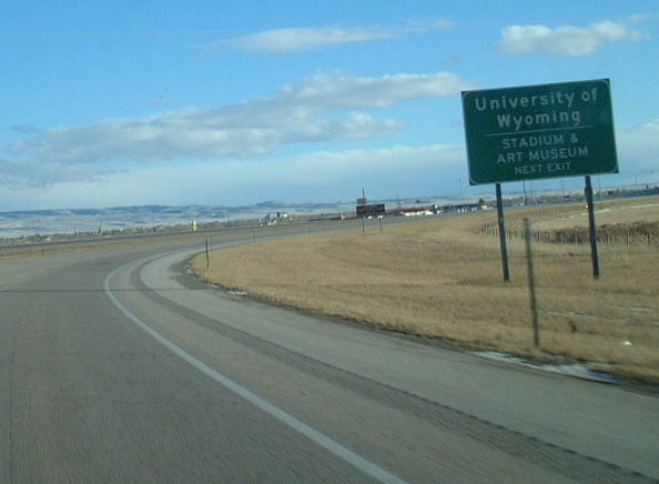 |
The Laramie Marginal (Interstate 80) turns due south at this point, as it approaches the Business Loop I-80 exit in Laramie. Curtis Street is the most direct route to the University of Wyoming, including the American Heritage Center, War Memorial Stadium, Arena-Auditorium, and various museums. One of the most popular museums at the University of Wyoming is the geology museum and library. Photo taken 02/04/02. |
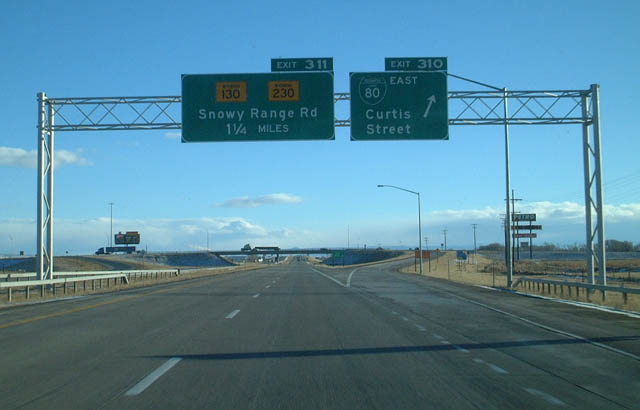 |
Eastbound Interstate 80 reaches Exit 310, Junction Business Loop I-80 (Curtis Street). The next exit is for Wyoming 130-230, Snowy Range Road, Exit 311. Photo taken 02/04/02. |
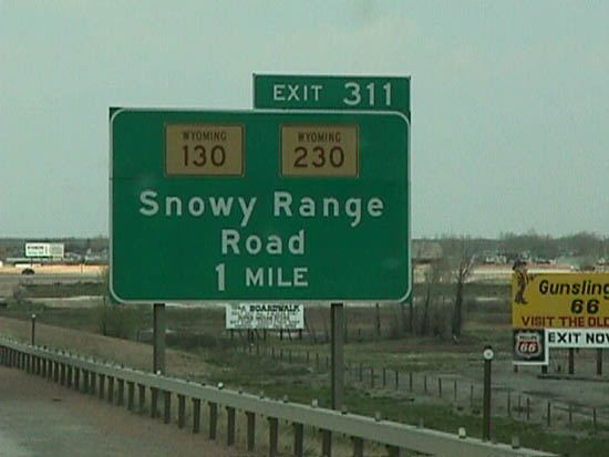 |
Interstate 80 follows the Laramie Marginal around the city. The second Laramie exit is Exit 311, Wyoming 130-230 east to Laramie and west to Snowy Range (via Wyoming 130) and Woods Landing and Jelm Mountain (via Wyoming 230). Wyoming 130 crosses the Laramie Basin and passes through the town of Centennial before ascending into the mountains. At the other side of the Snowy Range, Wyoming 130 serves Saratoga in the North Platte River Valley before turning north to rejoining Interstate 80 at Walcott. Wyoming 230 travels southwest, passing near Woods Landing, Jelm Mountain, Fox Park, and Mountain Home before entering the state of Colorado. The highway changes to Colorado 127, passes through "Three Way," follows Colorado 125 north, and reenters Wyoming southeast of Encampment and Riverside. Wyoming 230 ends at Wyoming 130 south of Saratoga. Photo taken 02/04/02. |
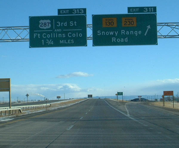 |
Eastbound Interstate 80 reaches Exit 311, Wyoming 130-230, Snowy Range Road. Wyoming 130 travels west to the Snowy Range via the scenic byway; during the winter, it is closed over the Snowy Range Pass. The services clustered at this exit are located in what's locally known as "West Laramie," even though it is technically part of the city of Laramie. This portion of Laramie is separated from downtown by the Wyoming Territorial Park, the Union Pacific Railroad, and the Laramie River. Photo taken 02/04/02. |
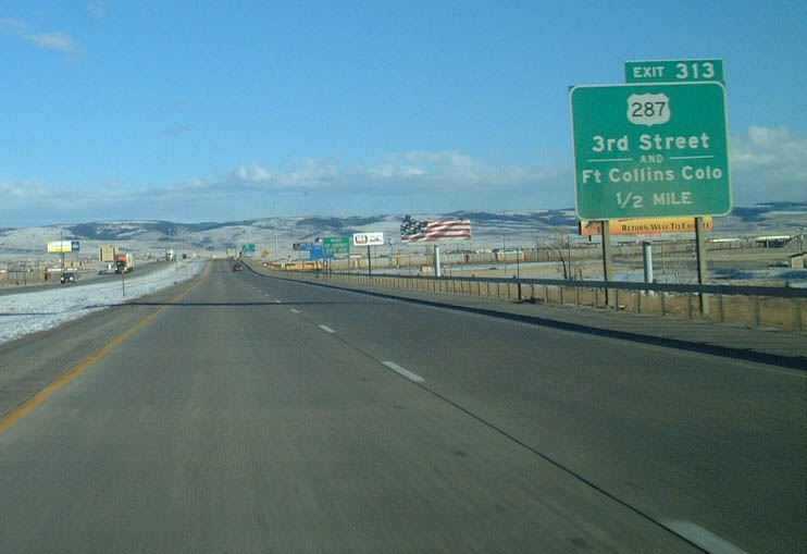 |
The next exit along eastbound Interstate 80 is Exit 313, U.S. 287, Third Street. U.S. 287 is a major northwest-southeast route that cuts Wyoming diagonally. Not only is U.S. 287 the longest highway in Wyoming, it is also the longest three-digit U.S. highway in the country, as it traverses significant portions of some of the larger states in the country, including Texas, Colorado, Wyoming, and Montana. Most services are available at this interchange. Photo taken 02/04/02. |
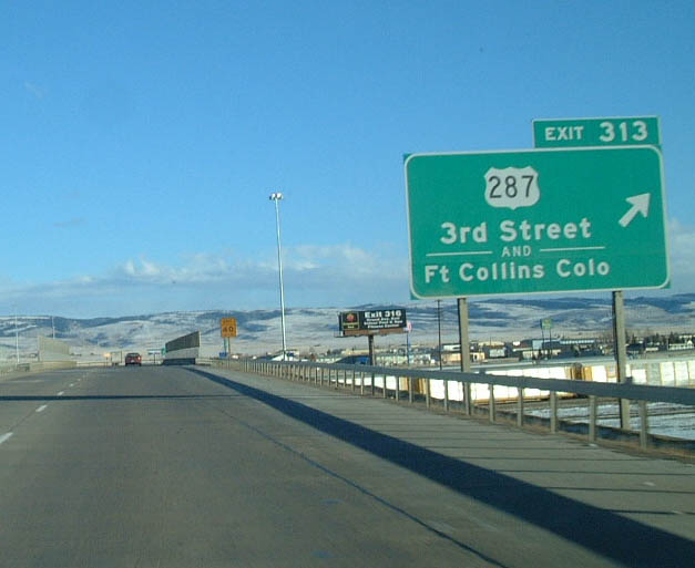 |
Eastbound Interstate 80 reaches Exit 313, U.S. 287 (Third Street). U.S. 287 leads south to Fort Collins via Tie Siding. This two-lane route provides a shorter alternative to Denver, although the signage does not reflect that. In 2000, this interchange was reconstructed, and this new ramp from eastbound Interstate 80 to southbound U.S. 287 was redesigned and placed on a new alignment. This signage is newer, and it reflects the newer standard of signage. Photo taken 02/04/02. |
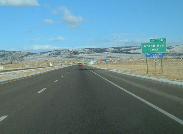 |
The next exit along eastbound Interstate 80 is Exit 316, Junction Business Loop I-80 and U.S. 30/Grand Avenue. U.S. 30 merges back onto Interstate 80 at this interchange after being absent from Interstate 80 since leaving Walcott Junction in Carbon County. The business loop, which began on Curtis Street north of downtown Laramie, follows a portion of Third Street into downtown, then turns east on Grand Avenue. There are not many services at this interchange, but motorists can take the business loop west to return to Laramie. Photo taken 02/04/02. |
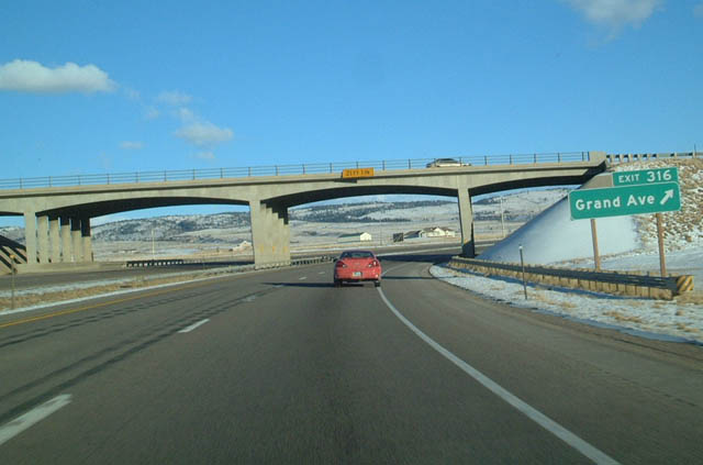 |
Eastbound Interstate 80 reaches Exit 316, Junction Business Loop I-80 and U.S. 30 west to Laramie via Grand Avenue. This trumpet interchange facilitates complete access in all directions. This is the last Laramie exit and the final services until Buford (at Exit 335). Interstate 80 and U.S. 30 now begin their ascent from Laramie to Sherman Hill via Telephone Canyon. Sherman Hill is the highest point on either transcontinental highway. Photo taken 02/04/02. |
| Interstate 80 and U.S. 30 east | |
|---|---|
 |
On the ascent through Telephone Canyon, eastbound Interstate 80 climbs to Sherman Hill, which is the highest point on transcontinental Interstate 80, U.S. 30, the Lincoln Highway, and the Union Pacific Railroad. The billboard featuring ice cream at Little America seems ill timed given the amount of snow in the area. The temperature was below freezing at the time this picture was taken, even though skies were clear. Photo taken 02/04/02. |
 |
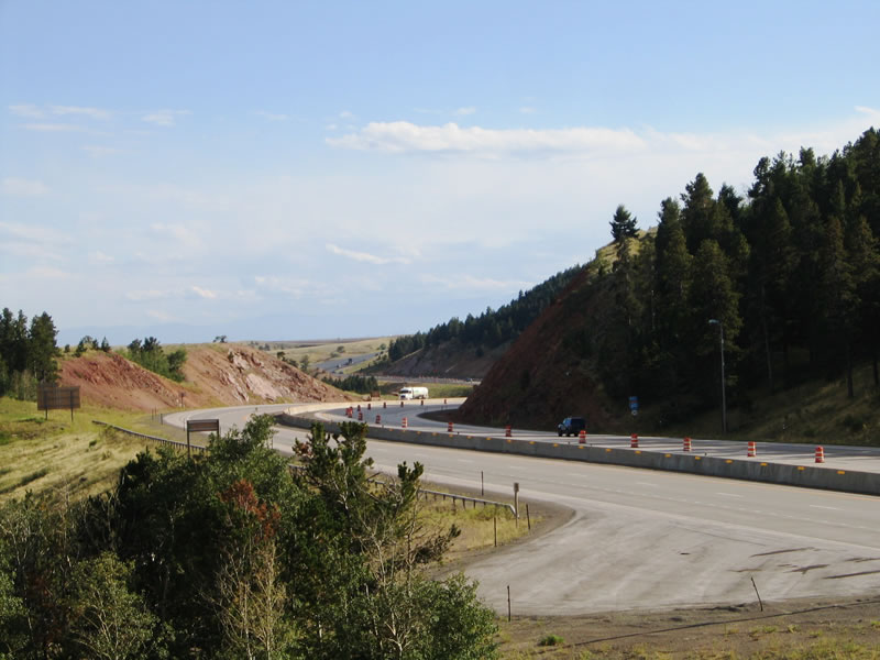
A climbing lane for trucks helps facilitate traffic flow along eastbound Interstate 80 and U.S. 30 in Telephone Canyon. A reconstruction project in the late 1990s and early 2000s added this third lane along eastbound. Prior to the addition of this new lane, traffic frequently slowed behind trucks and recreational vehicles that cannot go up the hill at freeway speeds. To add this new lane, the canyon had to be expanded, so a good part of the expense of the new lane was in widening the canyon. Photo taken 02/04/02. |
 |
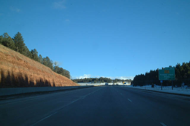
The Interstate 80 and U.S. 30 freeway enters the Medicine Bow National Forest. Use Wyoming 210 (Happy Jack Road) east (Exit 323) to access most of the recreational areas of Medicine Bow National Forest (Pole Mountain Unit). In addition, the Vedauwoo exit connects to some rock climbing and hiking areas. Use Exit 323 (Wyoming 210) to reach the Lincoln Monument, where a large bust of President Abraham Lincoln gazes down on the Father Road, the Lincoln Highway, which is today Interstate 80. To see photos of the Lincoln Memorial, Henry Bourne Joy Memorial, and Summit Rest Area, visit the Lincoln Highway (U.S. 30) page. Photo taken 02/04/02. |
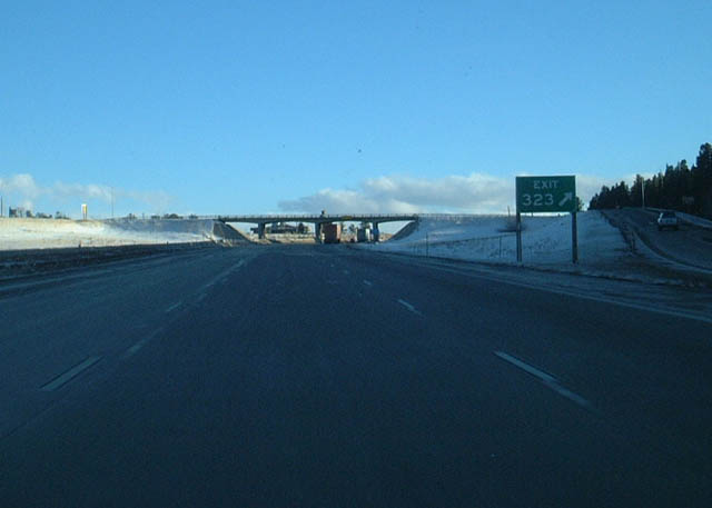 |
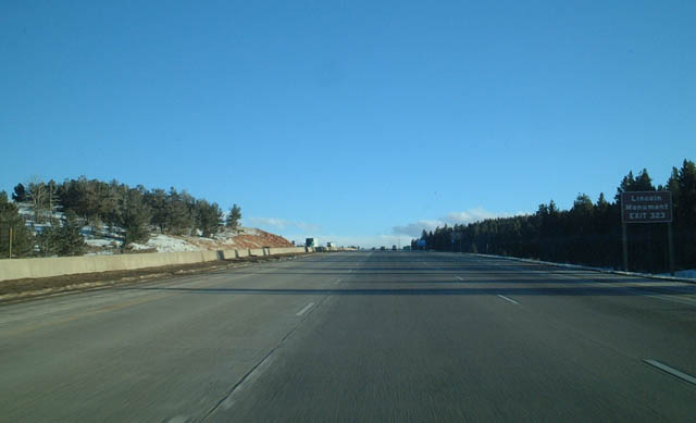
Interstate 80 meets Wyoming 210 (Happy Jack Road) at Exit 323. Follow the signs for the rest area to visit the Lincoln Memorial, which is located adjacent to the Summit Rest Area parking lot. This bust was sculpted by Robert Russin to commemorate President Abraham Lincoln, for whom Interstate 80 and U.S. 30 in Wyoming are named. The bust overlooks the highest point on transcontinental Interstate 80 and U.S. 30, at elevation 8,640. In fact, this was once the highest point on the transcontinental railroad when its tracks were laid in 1868 prior to its realignment to the south between Buford and Laramie (along Harriman Road). Photo taken 02/04/02. |
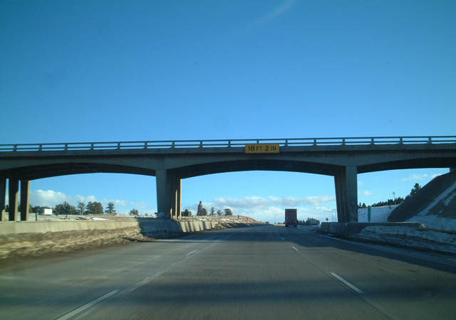 |
Finally reaching the top of Telephone Canyon, Interstate 80 and U.S. 30 pass under the Happy Jack Road overcrossing. The paired route reaches the highest point here; to the east, the freeway begins a more gradual descent toward Cheyenne, the capital city of Wyoming. Photo taken 02/04/02. |
 |
This view of eastbound Interstate 80 and U.S. 30 is afforded from the Summit Rest Area near the Lincoln Memorial. At the time this photo was taken, repaving activities were wrapping up as construction season waned in early September. The first freeze of the season would come to the region soon after this picture was taken. Photo taken 09/05/05. |
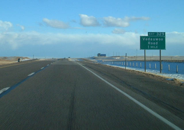 |
The next exit along eastbound Interstate 80 and U.S. 30 is Exit 329, Vedauwoo. This exit leads to some of the most beautiful terrain in Southeastern Wyoming. Vedauwoo is an Arapho word meaning "Earth-born spirits" or "Home of the Gods," and the scenery here lives up to those names. This area is locally famous for its unique rock formations and scenic hiking trails. This exit offers a great respite from Interstate 80, and it offers rock climbing, rappelling, hiking, biking, and other outdoor activities. To the south lies Ames Monument, which was constructed over a century ago in homage to two railroad pioneers. To see photos of the Ames Monument, please visit the Lincoln Highway (U.S. 30) page. Photo taken 02/04/02. |
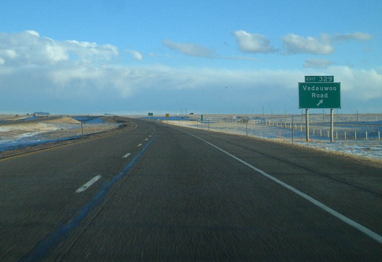 |
Eastbound Interstate 80 and U.S. 30 reaches Exit 329, Junction Forest Service Road 700, Vedauwoo Road. To see photos of Vedauwoo, visit the Vedauwoo Road (Forest Service Road 700) page. Vedauwoo Road travels north to a parking area for connections to the extensive trail system surrounding the unusual rock formations. The road continues past the parking area as a unpaved surface, and it eventually connects to Wyoming 210, Happy Jack Road. To the south, Vedauwood Road connects with Albany County Route 234, Monument Road. Follow Monument Road south to Ames Monument and Sherman on the railroad. Monument Road also connects to Albany County Route 222, which follows Hermosa Road (Old Lincoln Highway) to Hermosa and Tie Siding (U.S. 287) along a path roughly parallel to the Union Pacific Railroad. A rail tunnel is in place near Hermosa. Photo taken 02/04/02. |
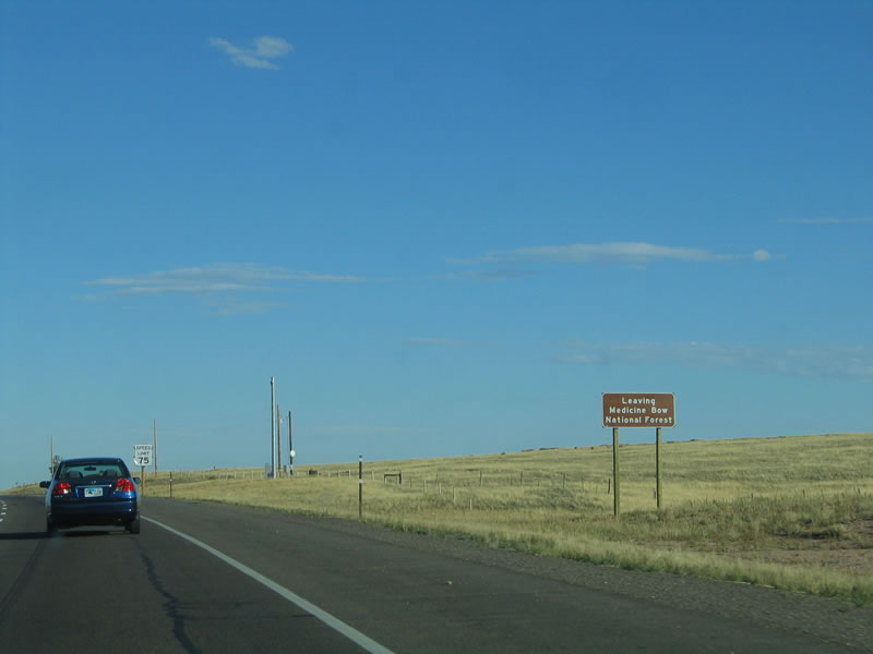 |
In spite of the absence of trees on the high plains, the area surrounding the Sherman Hill is part of a national forest. Here, Interstate 80 and U.S. 30 depart from the Medicine Bow National Forest. Photo taken 09/05/05. |
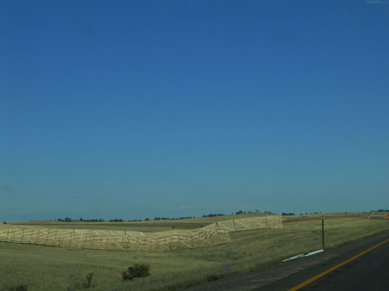 |
Wooden snow fences line both sides of Interstate 80 and U.S. 30 to help alleviate the amount of snow that blows across the freeway during times of high wind. Since the Sherman Hill area is very susceptible to high wind conditions that might impact winter travel, these snow fences are very helpful in reducing the impact of the wind causing ground blizzards from blowing snow (even on days that would otherwise be sunny). Photo taken 09/05/05. |
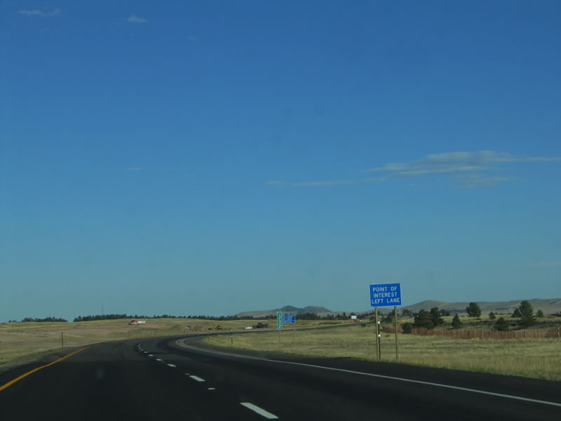 |
A point of interest along Interstate 80 and U.S. 30 is the Tree Rock Scenic Area at Milepost 333. This left-hand exit leads to a tree that has grown out of a rock. Engineers along the Union Pacific Railroad used to throw water onto this tree to help it survive in the harsh Wyoming climate. The tracks have since been realigned, and the freeway median was widened to accommodate this attraction. Photo taken 09/05/05. |
 |
The Tree Rock is located in the median of Interstate 80 and U.S. 30, so a left exit is required to visit the site. To see photos of Tree Rock, visit the Lincoln Highway (U.S. 30) page. Photo taken 09/05/05. |
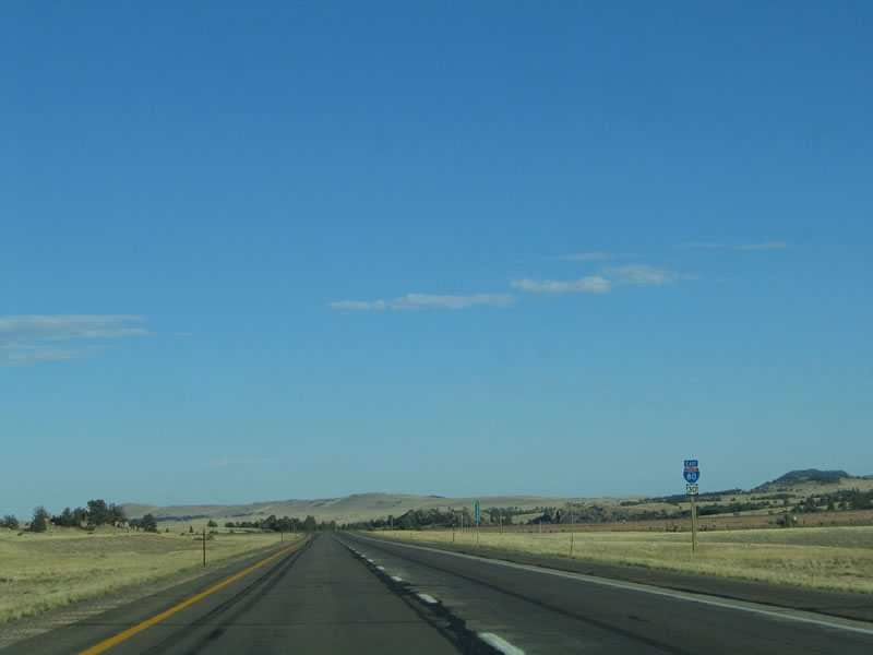 |
A reassurance shield assembly for Interstate 80 and U.S. 30 is posted after the Tree Rock monument in the center of the freeway. Certain hills have stands of limber pines, but other hills only have the yellow grasses that are commonly found in this region of Wyoming. Gradually, the freeway descends toward Cheyenne, an elevation loss of over 2,500 feet from Sherman Hill to downtown Cheyenne. Photo taken 09/05/05. |
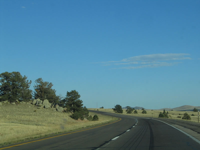 |
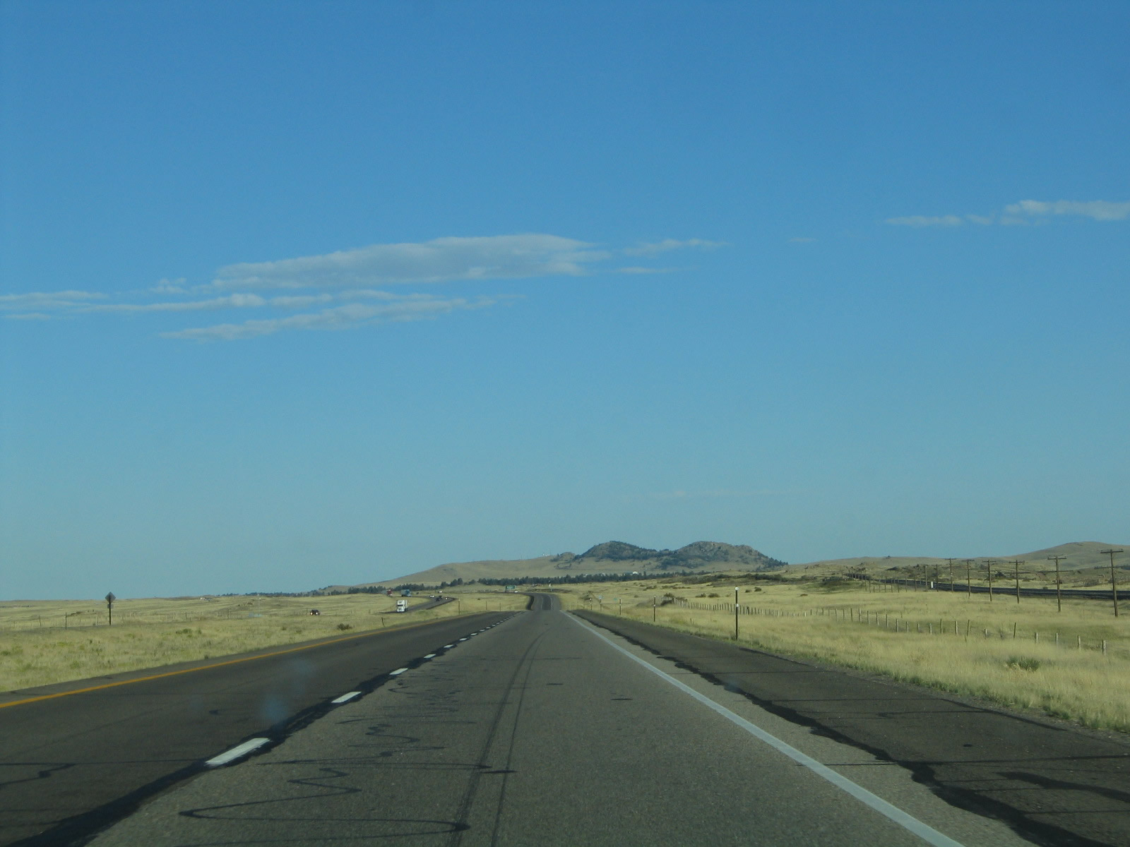
Highway engineers routed the freeway around existing rock formations and stands of trees, including in this area along eastbound Interstate 80 and U.S. 30. Photo taken 09/05/05. |
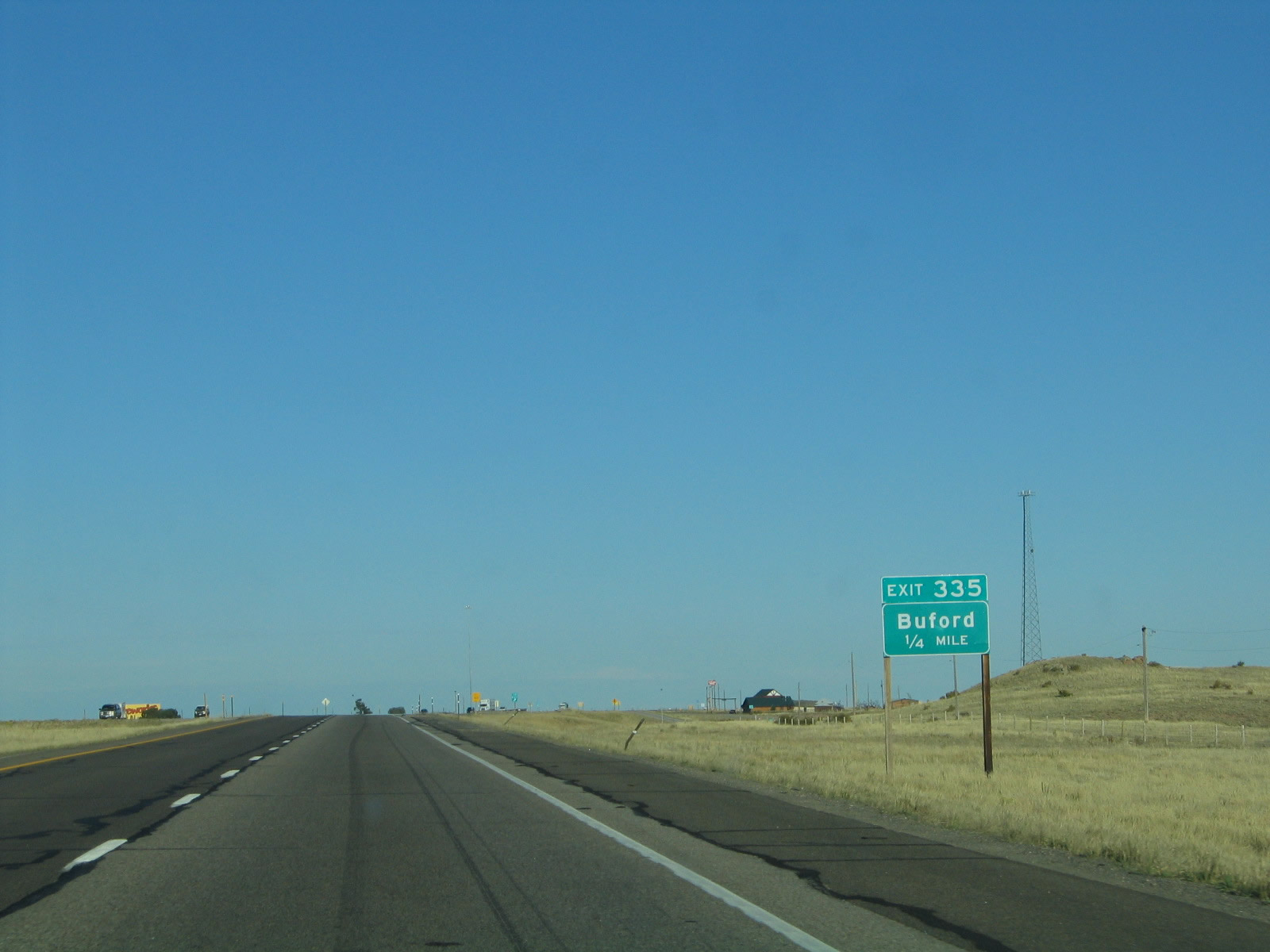 |
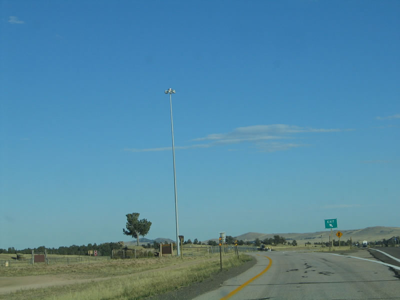
The next exit along eastbound Interstate 80 and U.S. 30 is Exit 335, Junction Albany County Route 30, which serves the community of Buford. A gas station and mini-mart is available at this exit. Photo taken 09/05/05. |
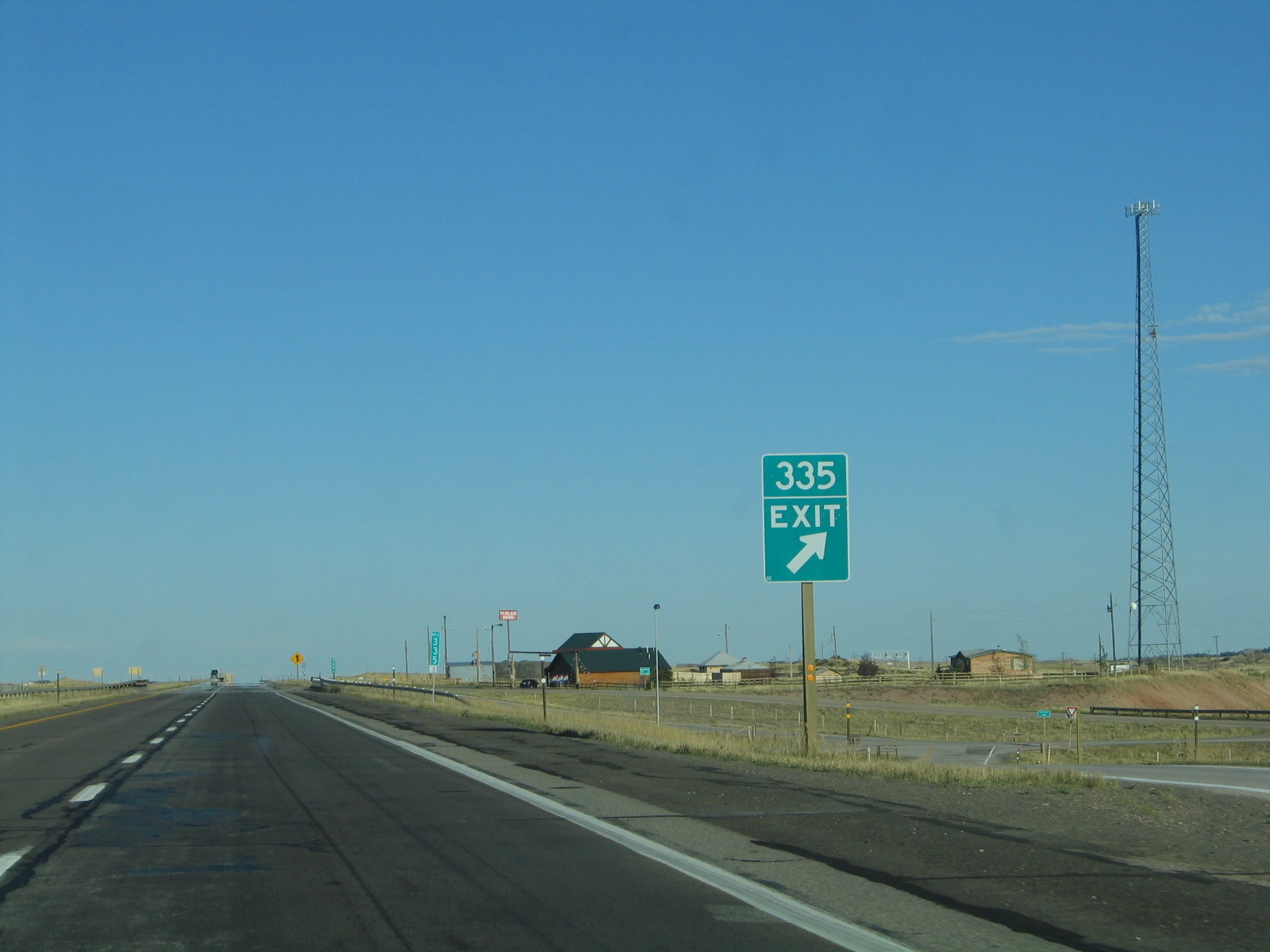 |
Eastbound Interstate 80 and U.S. 30 reaches Exit 335, Junction Albany County Route 30 to Buford. Buford largely consists of the buildings seen on the south side of the freeway (as seen here). A gas station and small market offer the first services since leaving Laramie. Photo taken 09/05/05. |
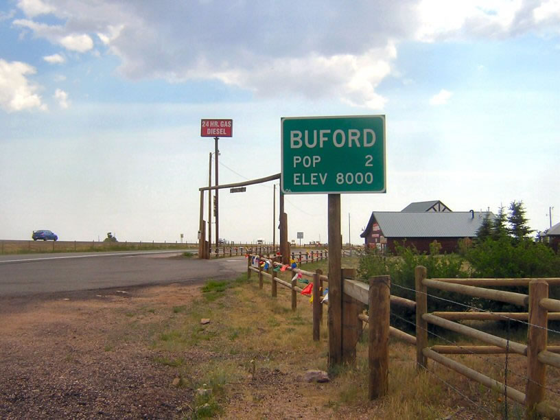 |
Upon departing the freeway at Exit 335, a Buford town limits sign is posted. With a population of only two people at an elevation of 8,000 feet above sea level, Buford is one of the smallest towns in the state of Wyoming. This sign is posted on the frontage road leading from Interstate 80/U.S. 30 to the gas station and convenience store. Photo taken by David Backlin (07/26/07). |
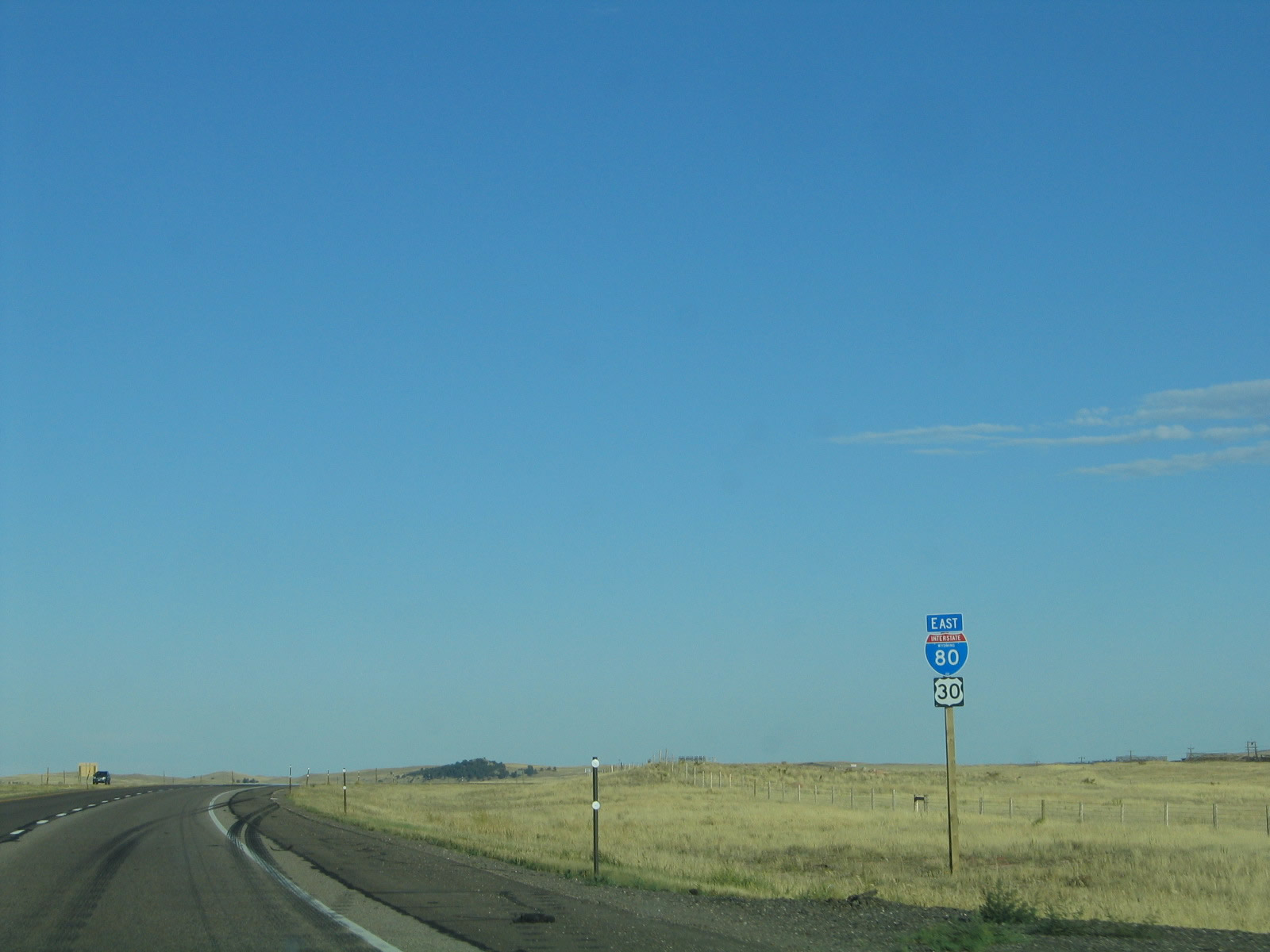 |
Another reassurance shield assembly for Interstate 80 and U.S. 30 is posted after the Buford interchange. Photo taken 09/05/05. |
 |
The Union Pacific Railroad again follows Interstate 80 and U.S. 30; it followed the old alignment of the Lincoln Highway over another summit over Sherman Hill by taking a route between Tie Siding and Buford. From here to Cheyenne, the railroad stays close to Interstate 80 (the exception is the portion that follows Wyoming 225/Otto Road west of Cheyenne). Photo taken 09/05/05. |
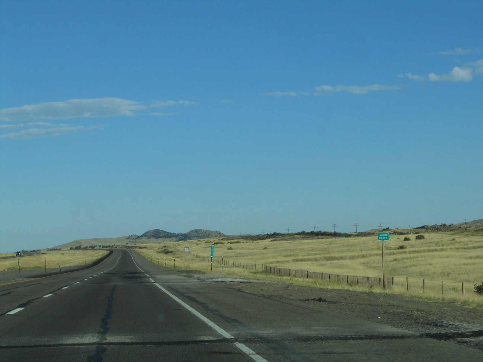 |
Interstate 80 and U.S. 30 passes the Albany-Laramie County Line near Milepost 337. The county marker sign here is so tiny that it is indistinguishable at 75 miles per hour. In the photo, the sign is the green blur to the right of the shoulder of the road. Photo taken 09/05/05. |
 |
 |
Page Updated September 14, 2014.
|
About Contact FAQ |
Spotlights Interstate Guide |
Social Media:
 |
|
© 2000-25 AARoads.com | All Rights Reserved | Privacy Policy / Terms of Use
|
||