
U.S. 395 Alternate North - Washoe County
| U.S. 395 Alternate (Former Nevada 429) north | |
|---|---|
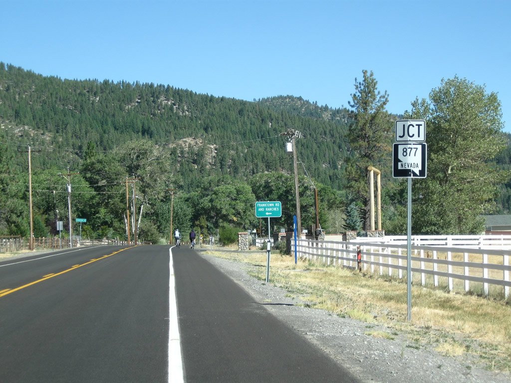 |
Traveling in the valley west of Washoe Lake, northbound U.S. 395 Alternate and former Nevada 429 approach the intersection with Nevada 877/Franktown Road. Photo taken 09/05/10. |
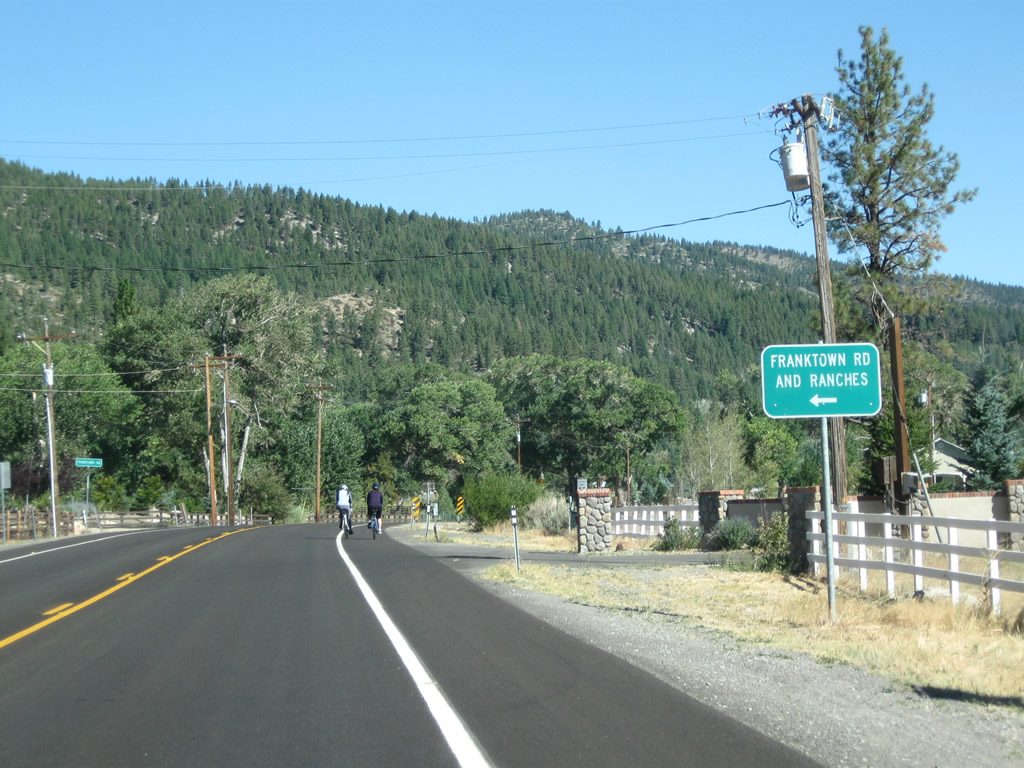 |
Use Nevada 877/Franktown Road south for local ranch access; the state route parallels the foot of the Sierra Nevada, which rises majestically to the west of the valley. Photo taken 09/05/10. |
 |
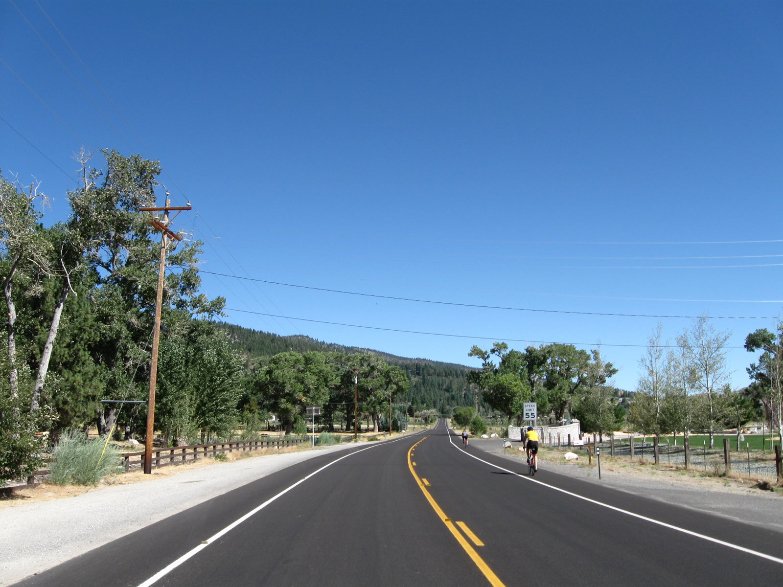
Turn left from U.S. 395 Alternate north onto Nevada 877/Franktown Road south at this intersection. Photo taken 09/05/10. |
 |
 |
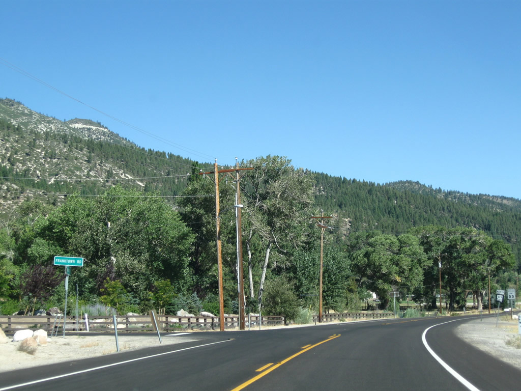
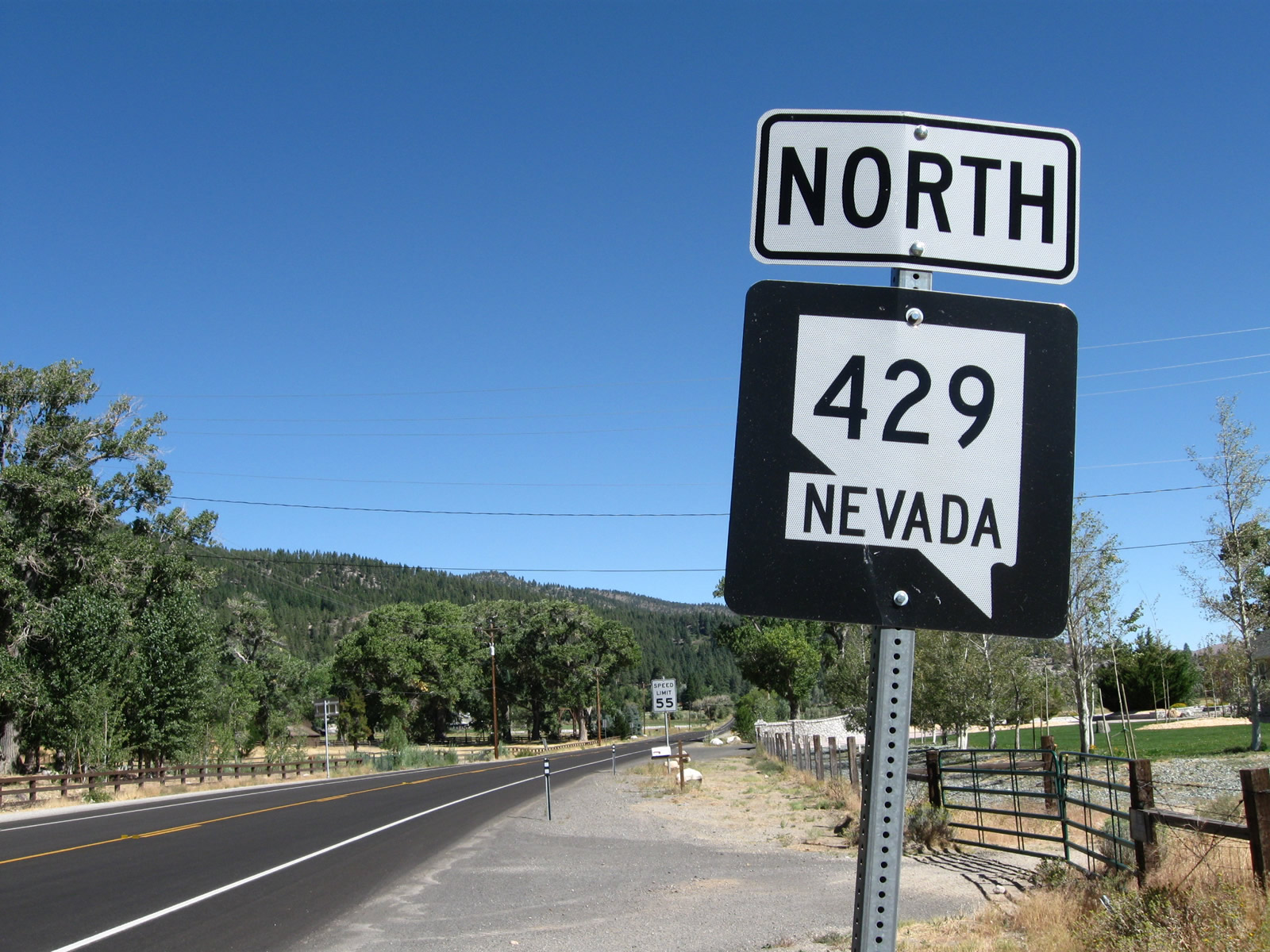
A Nevada 429 reassurance shield was posted after the Nevada 877/Franktown Road intersection; this has likely been changed into an U.S. 395 Alternate shield assembly. Photos taken 09/05/10. |
 |
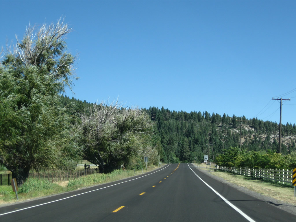 |
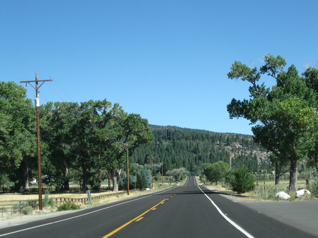
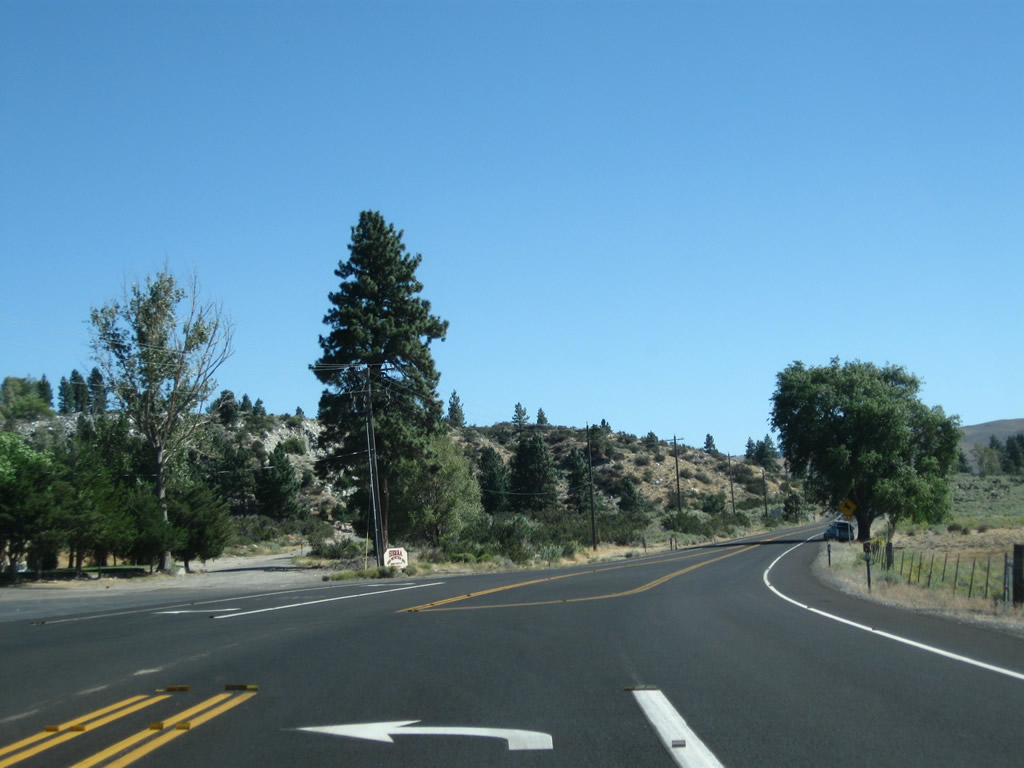
This series of pictures follows northbound U.S. 395 Alternate and former Nevada 429 between Nevada 877/Franktown Road and Bowers Mansion County Park. Photos taken 09/05/10. |
 |
 |
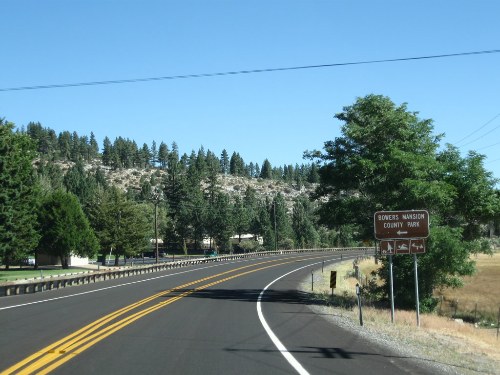
Northbound U.S. 395 Alternate and former Nevada 429 meet the entrance to Bowers Mansion County Park. Photos taken 09/05/10. |
| U.S. 395 Alternate (Former Nevada 430) north | |
|---|---|
 |
Before the alternate route was commissioned through here, this U.S. 395 north reassurance shield used to be posted immediately after the Nevada 429 intersection. Until 2012, U.S. 395 followed what is now U.S. 395 Alternate between Washoe City and Mt. Rose Junction. Photo taken 09/09/05. |
 |
U.S. 395 Alternate swtiches sides with Interstate 580 and U.S. 395, and Altenrate U.S. 395 begins a divided highway (expressway) configuration. This series of pictures was taken before U.S. 395 Alternate was commissioned (on May 18, 2012). We begin following what is now U.S. 395 Alternate (and formerly U.S. 395 and briefly known as Nevada 430) north between Little Washoe Lake and Reno via Mt. Rose Junction. This is just after what was the former intersection between Old Nevada 429 and Old U.S. 395 (and near the completed Interstate 580 and U.S. 395 freeway). U.S. 395 Alternate ascends into Washoe City from the Washoe Lake Freeway to Washoe Hill. The U.S. highway reduces from a four-lane freeway into a four-lane at-grade highway with a 50 mph speed limit. Photo taken 09/09/05. |
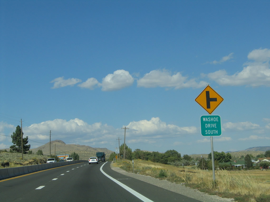 |
Cross traffic is common for the next several miles along U.S. 395 Alternate through Washoe City. The first intersection is with Washoe Drive South. Photo taken 09/09/05. |
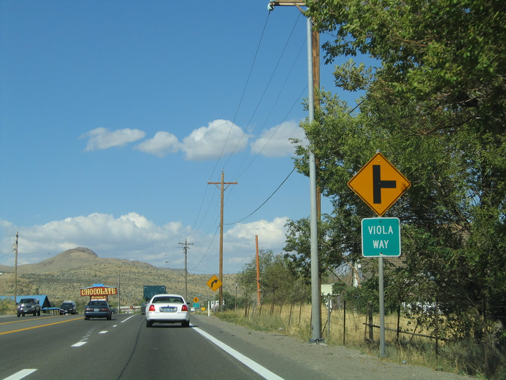 |
Next up along U.S. 395 Alternate is Viola Way. Photo taken 09/09/05. |
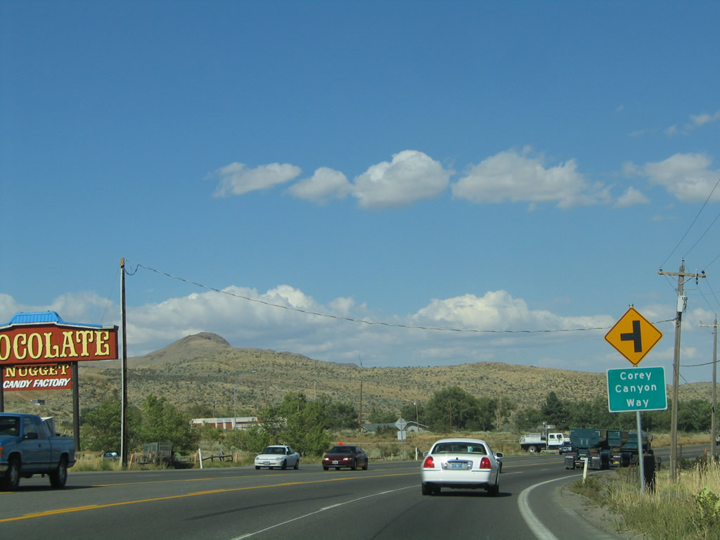 |
Approaching the Corey Canyon Way intersection on U.S. 395 northbound in Washoe City, we can see the Interstate 580 freeway when it was under construction near Parker Ranch Road. To the west, Parker Ranch Road passes underneath the new freeway and ties into the newly built Kelly Canyon Road and Jeffrey Pines Road. U.S. 395 relocated to the new freeway in August 2012. Photo taken 09/09/05. |
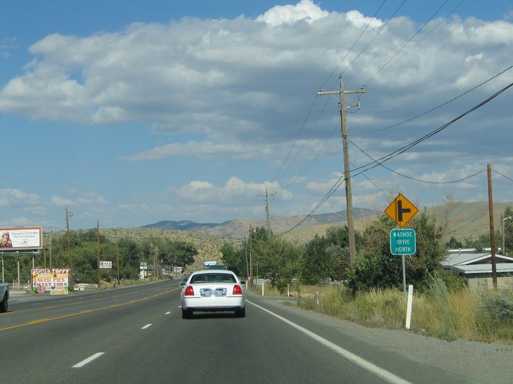 |
The next intersection along U.S. 395 Alternate north is with Washoe Drive North. Photo taken 09/09/05. |
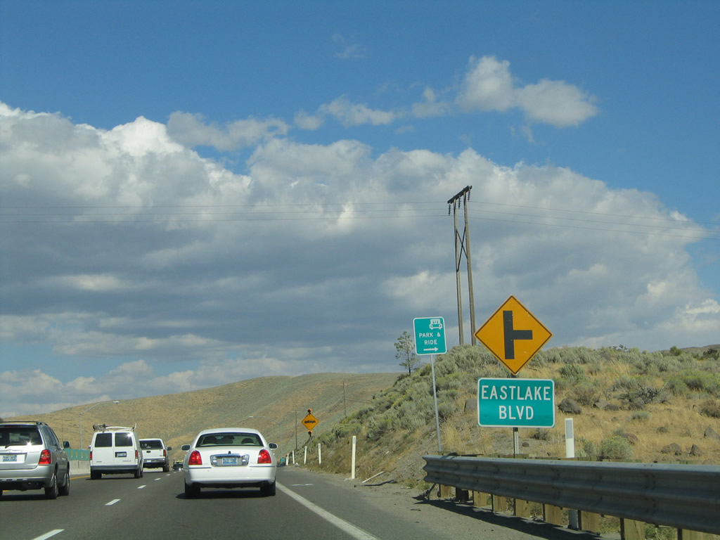 |
Eastlake Boulevard (former Nevada 428) returns to U.S. 395 Alternate at this intersection in Washoe City. Travel south on Nevada 428 to New Washoe City, which lies two miles to the south. Photo taken 09/09/05. |
 |
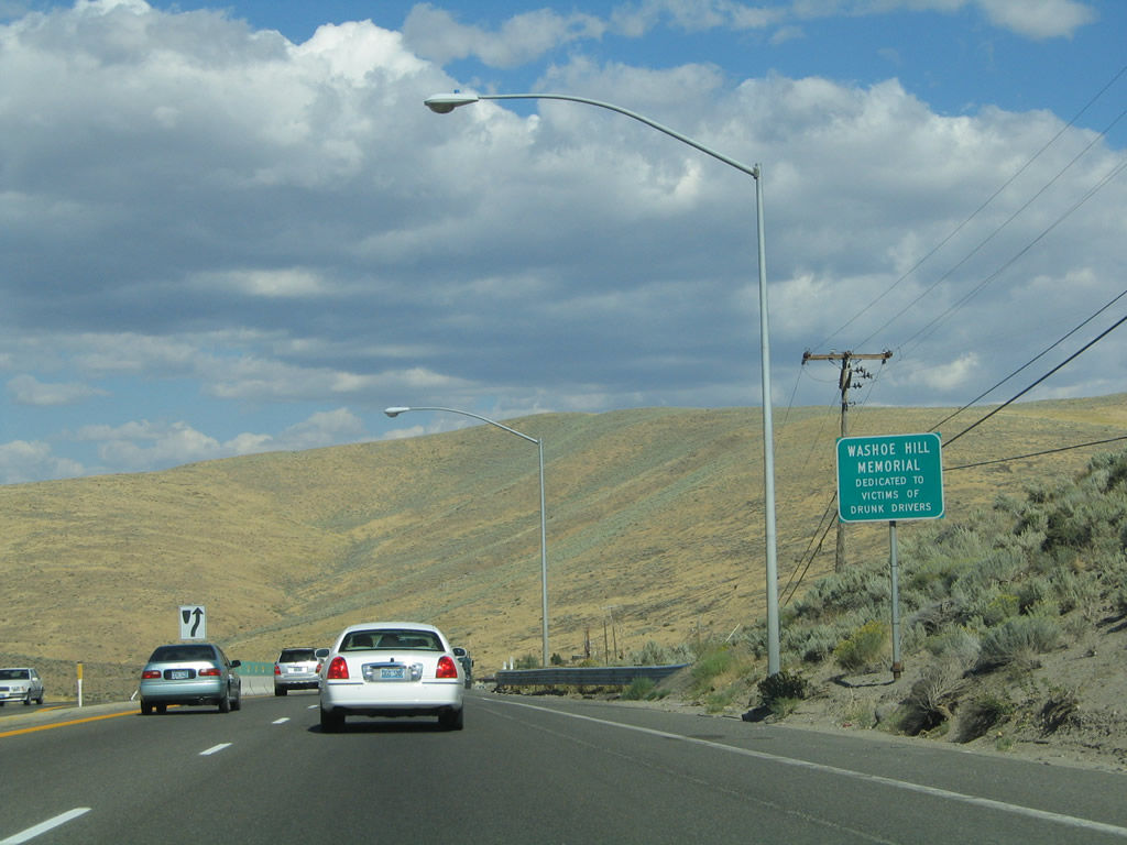 |
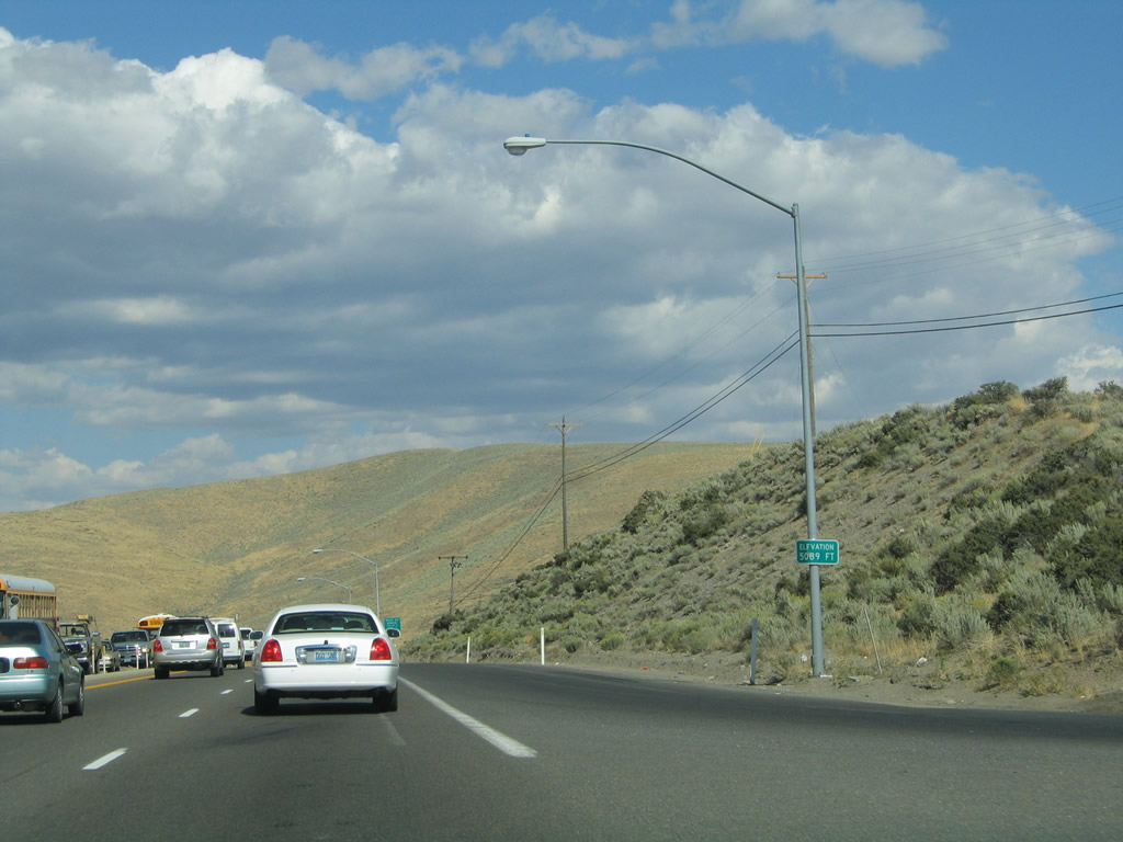
The Washoe Hill Memorial lies at the Washoe Hill Summit (which is located at an elevation of 5,589 feet above sea level ... the sign indicated that the memorial sits at 5,089 feet above sea level) along U.S. 395 Alternate near the Eastlake Boulevard intersection. From here, U.S. 395 will descend into Pleasant Valley ahead. Photos taken 09/09/05. |
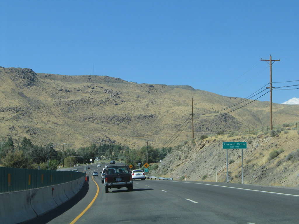 |
Northbound U.S. 395 Alternate drops into Pleasant Valley, another in the series of villages between Carson City and Reno. The four-lane highway enters Steamboat next. A series of cross streets are found along this stretch of U.S. 395. Photo taken 09/09/05. |
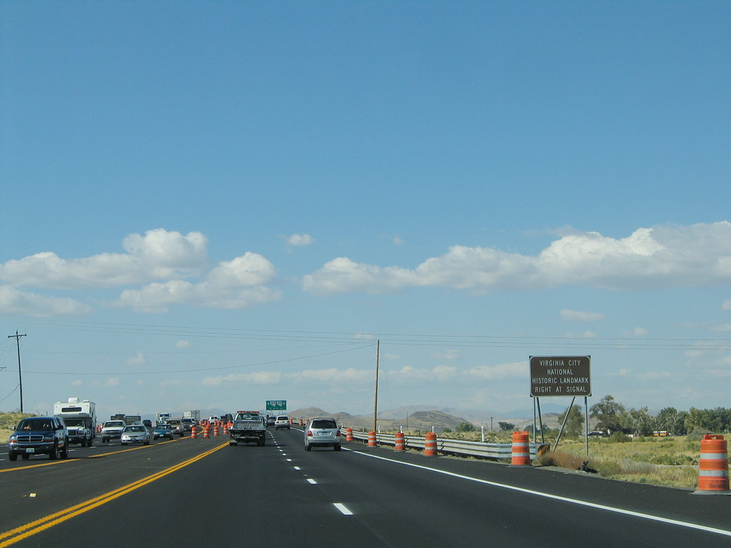 |
Leaving Pleasant Valley and approaching Mt. Rose Junction, northbound Temporary U.S. 395 approaches the junction with Nevada 341 and Nevada 431. Travelers interested in historic Virginia City should turn onto Nevada 341 (Geiger Grade Road) east from U.S. 395 north. Nevada 341 runs 21.8 miles east to U.S. 50 near the community of Dayton. Photo taken 09/09/05. |
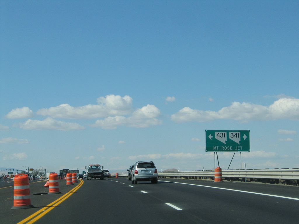 |
U.S. 395 northbound approaches Nevada 341/Geiger Grade Road southeast to Virginia City and Nevada 431/Mt. Rose Highway southwest to Incline Village and the north shore of Lake Tahoe. Nevada 431 heads southwest 24.470 miles toward Lake Tahoe and Incline Village via Mount Rose. This intersection could be considered to be a dyslexic junction since the first two digits of "341" and "431" are inverse from each other. The Interstate 580 and U.S. 395 freeway bypasses this intersection to the west. U.S. 395 Alternate continues north through Mt. Rose Junction into Reno. Photo taken 09/09/05. |
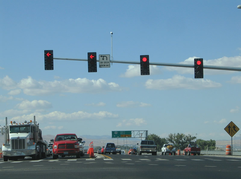 |
U.S. 395 Alternate (South Virginia Street) continues north, with its first interchange with the Interstate 580 and U.S. 395 freeway coming after the junction with Nevada 431 and Nevada 341 in Mt. Rosa Junction. This is interchange Exit 57. Another path to the Interstate 580 freeway is via Nevada 431/Mt. Rose Highway southwest one-half mile (to connect to the freeway at Exit 56). Photo taken 09/09/05. |
| From the Mt. Rose Junction area, U.S. 395 Alternate continues north along Virginia Street along former U.S. 395 and former Nevada 430, ending at Patriot Boulevard near Interstate 580 and U.S. 395 Exit 61. At that point, Virginia Street shifts to local maintenance and becomes part of the poorly signed U.S. 395 Business north. | |
 |
 |
Page Updated July 18, 2012.
|
About Contact FAQ |
Spotlights Testimonials Interstate Guide |
Social Media:
 |
|
© 2000-23 AARoads.com | All Rights Reserved | Privacy Policy / Terms of Use
|
||