With the extra time at home due to social distancing because of COVID-19, have taken the opportunity to really dive into a long standing back log of photos spanning the state of Florida from 2006 onward. Most of the work was in preparation to post new pages covering a variety of routes across the state. As photos get edited and pages are reviewed, will be debuting them over the course of the next few weeks.
Did take the opportunity to at least get out of the house while running errands to shoot a few Tampa Bay area roads. Traffic is definitely lighter, although not to the “ghost town” levels posted across social media from around the country. Still though, to be able to navigate across Tampa or St. Petersburg during peak hours without encountering any congestion results in an extremely abnormal feeling.
What’s been posted so far; write ups for some of these routes were done some time ago, but the pages were never posted as they were without photos:
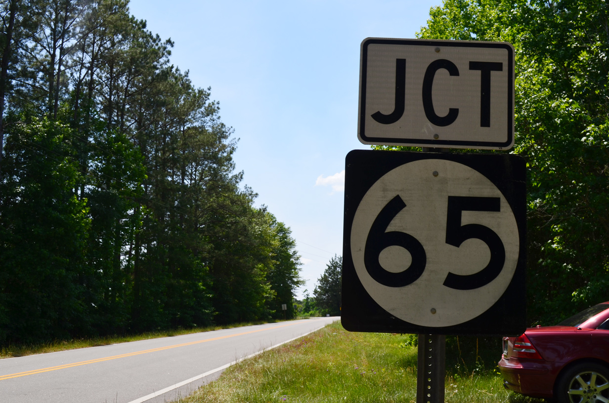
- State Road 65 / County Road 65 – an 85.4 mile long route connecting Quincy with coastal Franklin County and Attapulgus, Georgia.
- State Road 69 – first drove this in 2005, never got around to posting any photos until now.
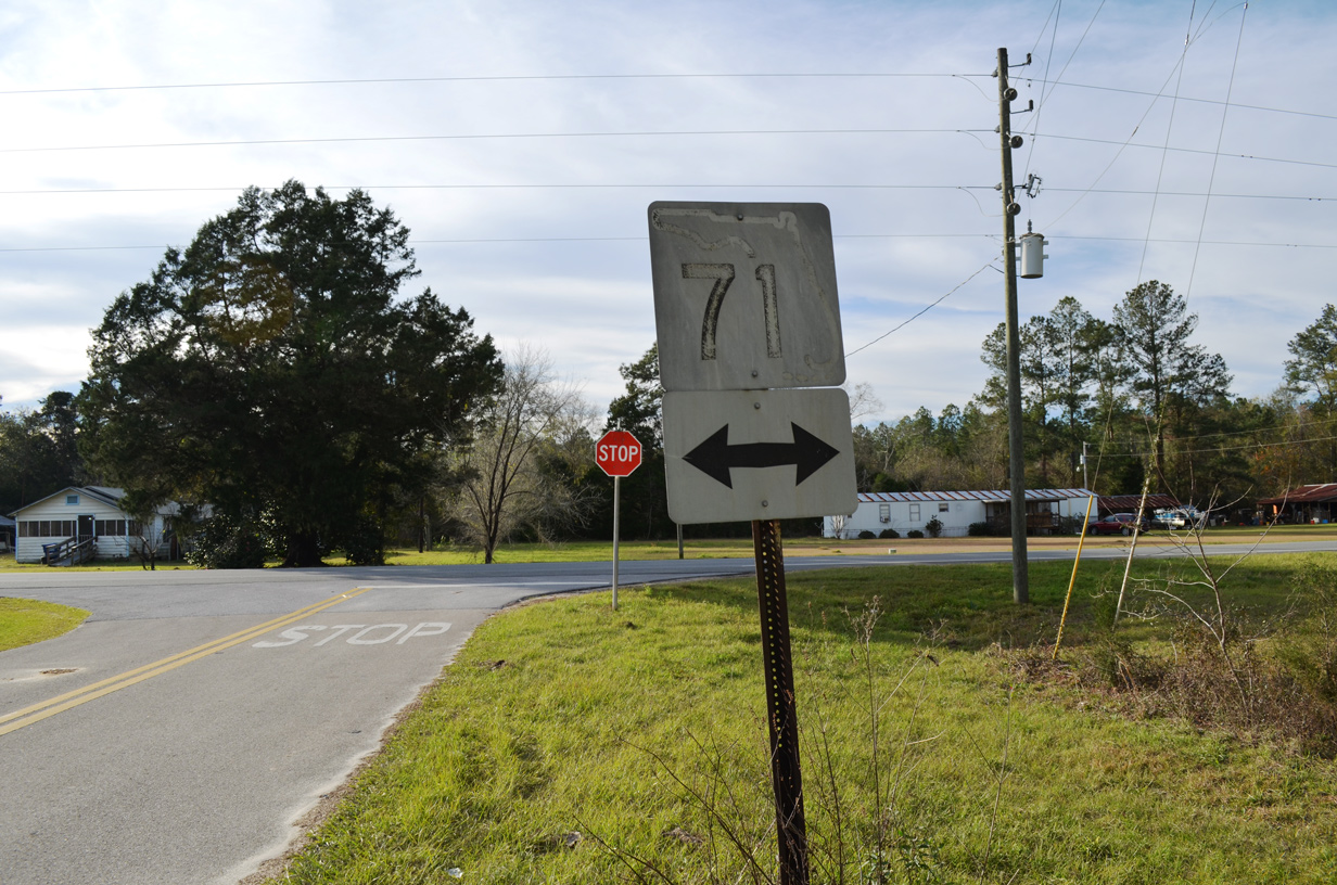
- State Road 71 – north and southbound pages covering the route from Port St. Joe to Malone
- State Road 73 – a more direct route than SR 71 from Marianna south toward Wewahitchka.
- State Road 166 – loop north from Marianna serving Florida Caverns State Park.
- State Road 273 / County Road 273 – created guide with photos from 2006 through 2012.
- State Road 276 / County Road 276 – a rural combination of roads leading east from Washington County to the city of Marianna.
- State Road 277 – a rural route joining Vernon with Chipley
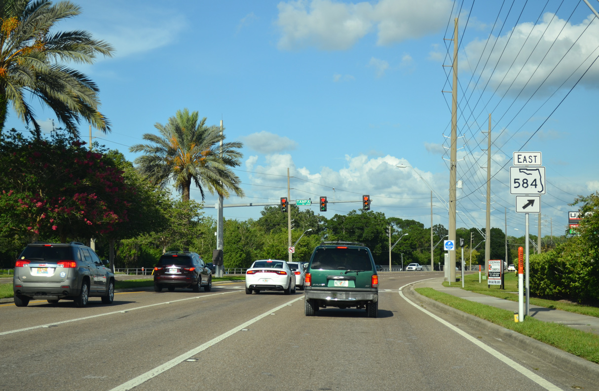
- State Road 584 – new guide with photos from Tuesday (04/14).
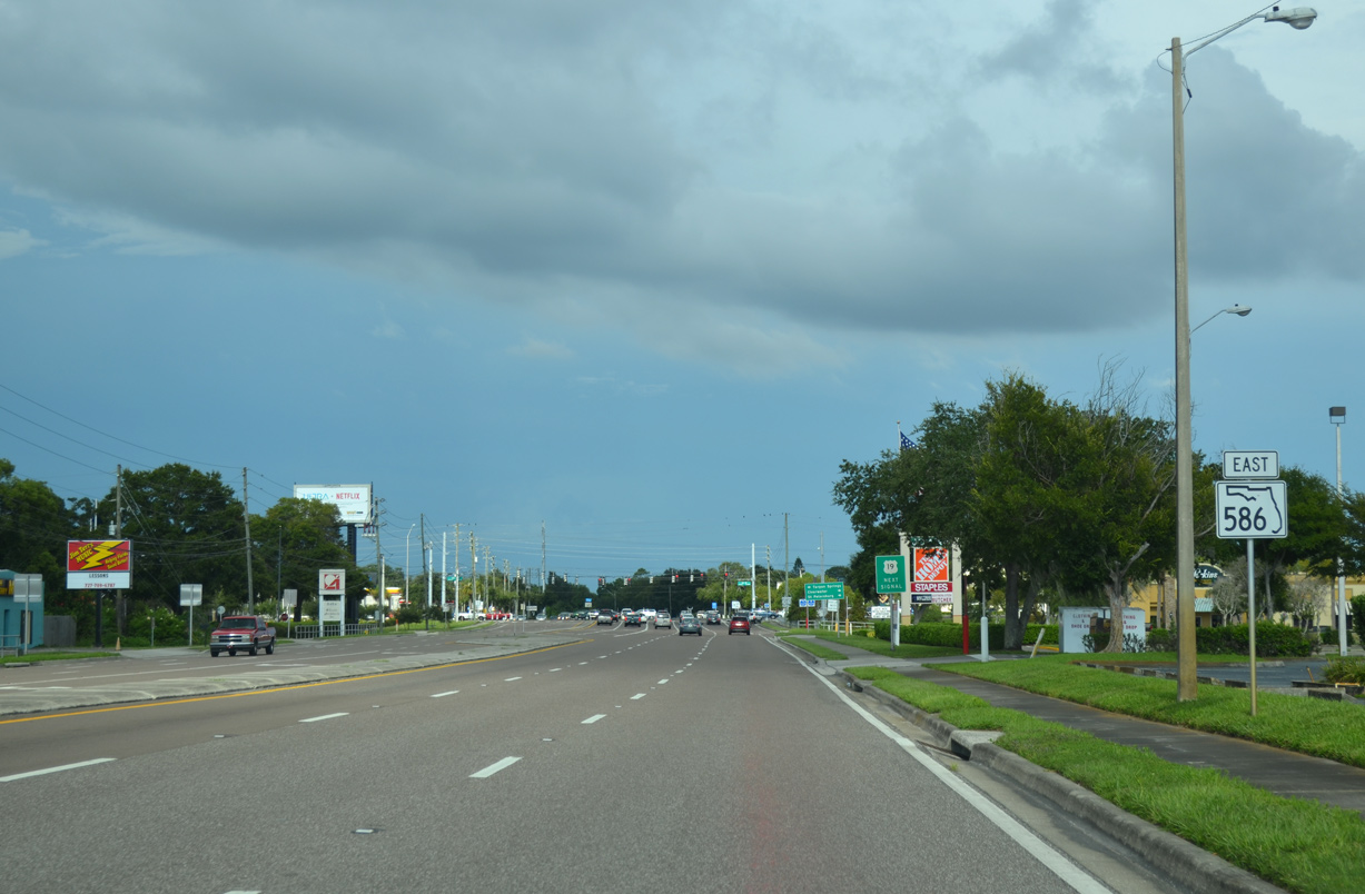
- State Road 586 – Curlew Road in Pinellas County, with some photos taken just this past Tuesday (04/14).
- County Road 2A – one posted in both Walton and Holmes Counties.
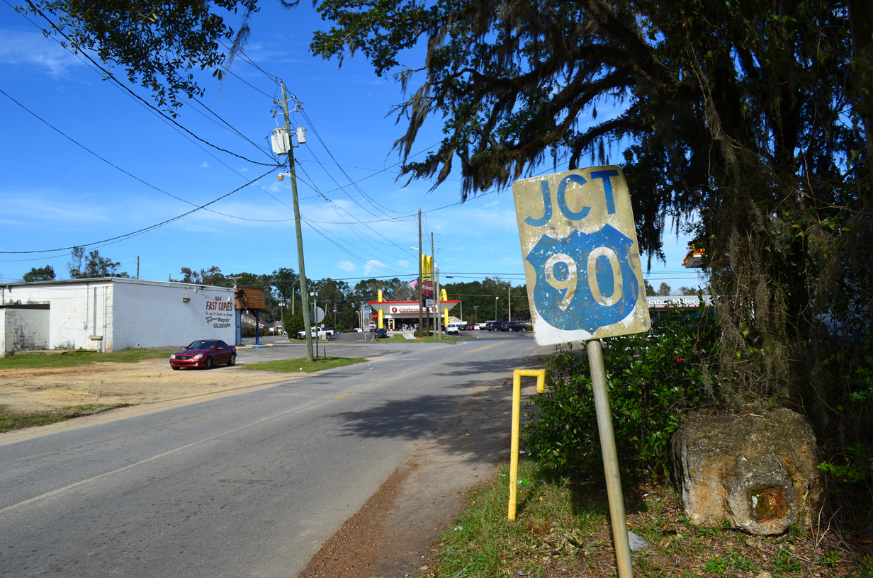
- County Road 10A – a number of segments following old U.S. 90 throughout Northwest Florida and the Big Bend region.
- Washington County Road 77A – a 3.42 mile loop to Falling Waters State Park and Chipley.
- Gadsden County Road 159A – two short links north of Havana.
- County Road 167 – three segments from Bay County north to Marianna and the Alabama state line.
- Jackson County Road 169 – rural highway traveling northwest from Cottondale to Graceville.
- Holmes County Road 177 – 13.39 mile long route leading north from near Bonifay to Black, Alabama.
- Holmes County Road 177A – rural highway to the west of CR 177.
- Holmes County Road 179A – highway paralleling the Choctawhatchee River north from Westville.
- County Roads 181/181C – forms a loop east from SR 81 to Westville and continues northwest to Darlington and the Alabama line.
- County Road 185 – part of a route connecting Defuniak Springs with Geneva, Alabama.
- Gadsden County Road 269 – one of two routes leading south from Chattahoochee.
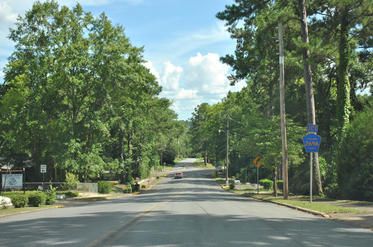
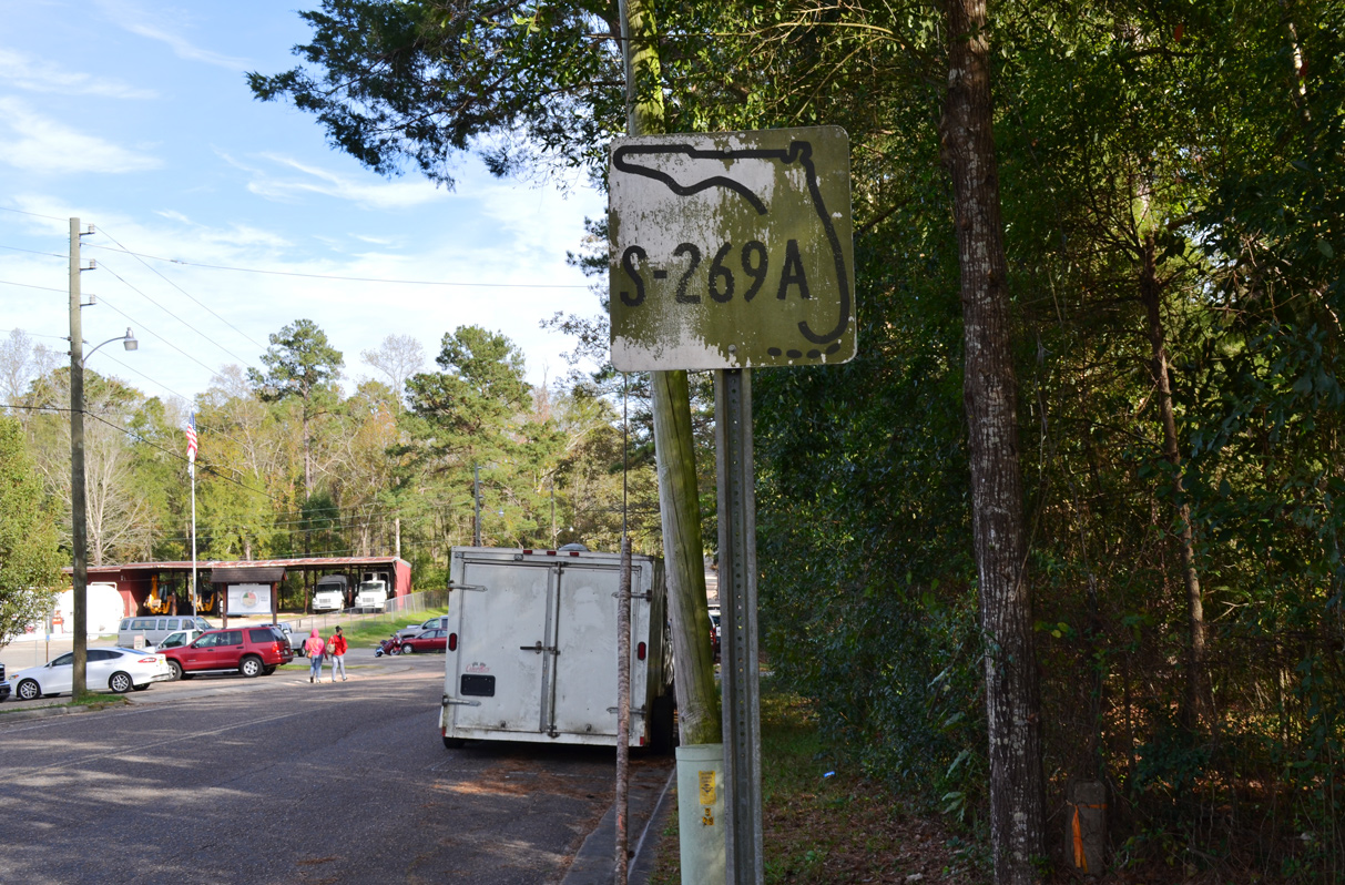
- Gadsden County Road 269A – both a loop south of Chattahoochee and a link from U.S. 90 to Georgia Route 97.
- County Roads 276A/1656 – extensions of CR 276 west and east.
- County Road 278 – five signed routes across Washington and Jackson Counties.
- Washington County Road 279 – created guide with 31 photos from 2008/09.
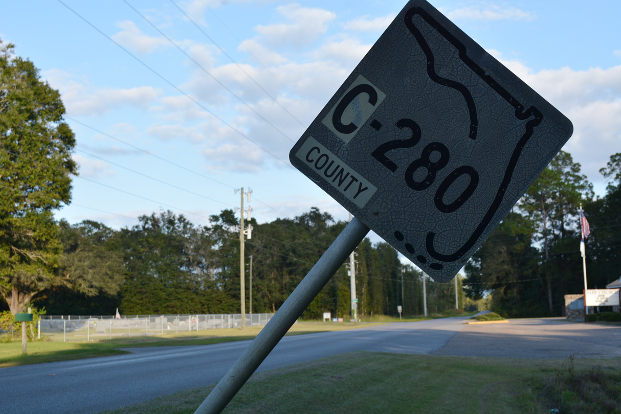
- County Road 280 – six branches in Walton, Washington and Jackson Counties.
- Pinellas County Road 752 – new page covering the western extent of Tampa Road leading to Palm Harbor and Ozona.
- Pinellas County Road 776 – drove this short route in Palm Harbor yesterday.
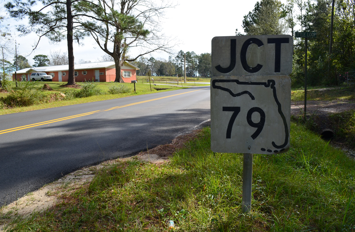
- Walton County Road 1087 – renumbering of CR 285 between Mossy Head and New Harmony.




Suggestion: On the bottom of the individual road pages, you should post a link that allows users to return to this page: https://www.aaroads.com/blog/updates-04-15-20-florida/. The lack of a link makes it difficult to get back to it
Otherwise, these guides are wonderful. I love seeing the vintage signs, and I appreciate you guys taking the time to post these.