Wrapping things up with site additions for Northwest Florida and the Big Bend Region, added several new guides or photo updates for roads in Franklin, Liberty and Gadsden Counties.
- State Road 12 – an original route in place by 1934 joining Bristol with Quincy and Havana.
- State Road 14 / County Roads 14 – SR 14 represents the eastern portion of a route from U.S. 19/27 at Eridu and the city of Madison.
- State Road 30A – northern leg of historic U.S. 98 in southern Franklin County. Extends east as County Road 30A.
- State Road 59 – rural highway north from U.S. 98 to Wacissa, Lloyd and U.S. 90.
- Liberty County Road 12 – extends south from Bristol to Orange, part of the original SR 12 alignment designated by 1934.
- County Road 12 – runs east from Havana to Iamonia in Leon County.
- County Road 22 – disconnected segments from Wewahitchka to Sopchoppy in the Big Bend region.
- County Road 30A – two additional segments of CR 30A are posted at Port St. Joe and Carrabelle.
- County Road 30B – short spur onto Indian Peninsula in southern Gulf County.
- County Roads 65A / 65B / 65C – SR 65/CR 65 branches in Gadsden County.
- County Road 67 – lengthy rural highway between Bristol and Carrabelle in the Big Bend.
- County Road 158 – four segments from Tallahassee to Madison County.
- County Road 267A – location of the last remaining six-keys Florida route marker.
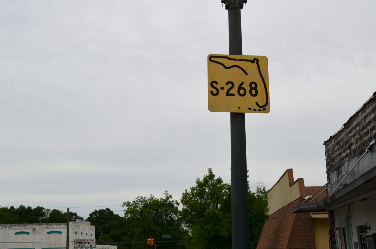
- County Road 268 – two part route east from Rosedale to Quincy and from Quincy to Midway
- County Road 268A – short link between CR 268 and CR 270A near Greensboro.
- County Road 270 – six branches across Liberty and Gadsden Counties.
- County Road 270A – route paralleling CR 270 north of Greensboro and south of Chattahoochee.
- County Road 274 – added photos covering the main branch in Gadsden County.
- County Road 299 – loop west into Apalachichola National Forest near Sopchoppy in Wakulla County.
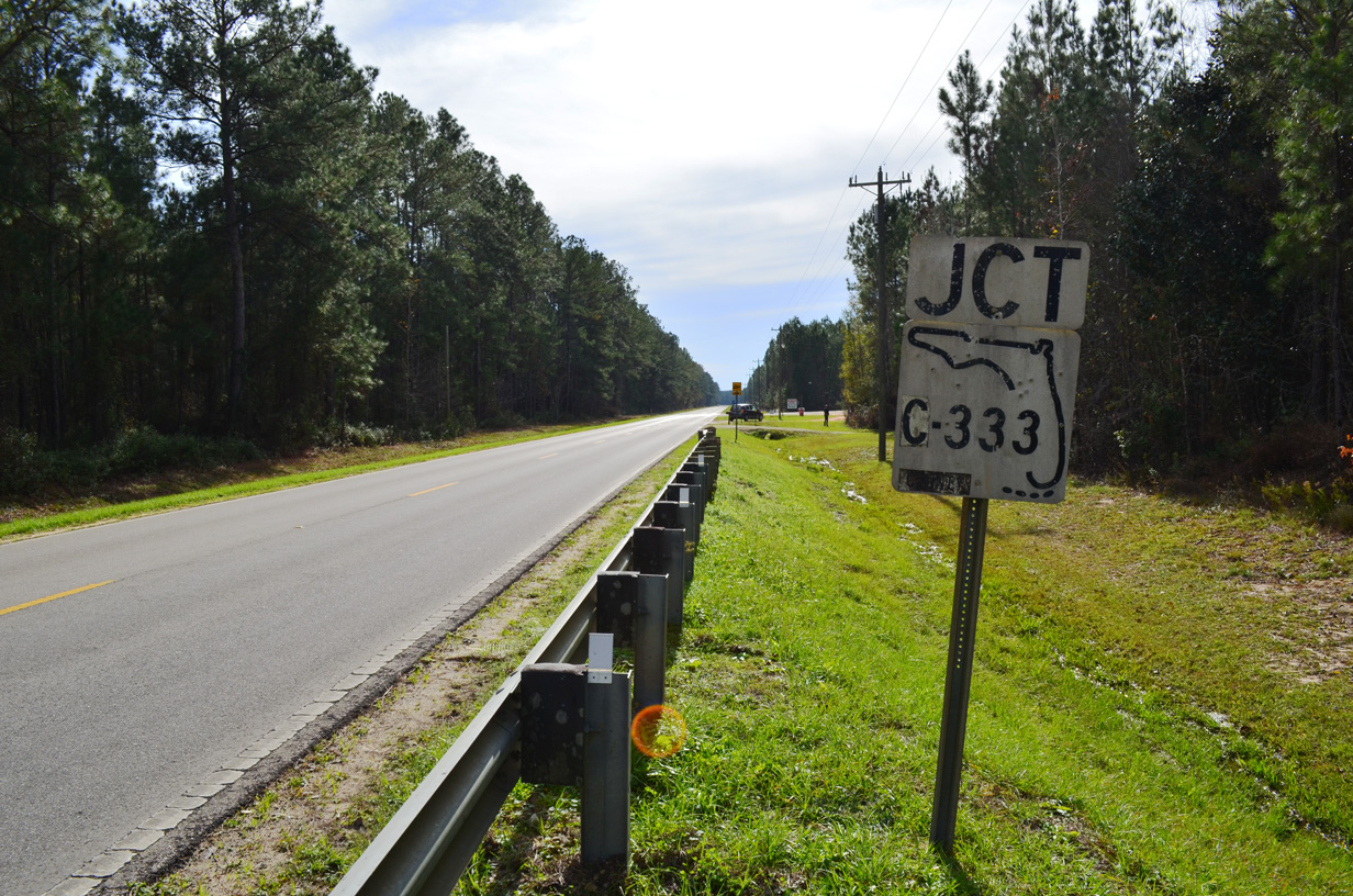
- County Road 333 – rural spur in western Liberty County.
- County Road 365 – formerly a part of U.S. 319 with two disconnected branches at Shadeville.
- County Road 375 – two branches, one along the Ochlockonee River south from Leon County to Sopchoppy and another north of Spring Creek.
- County Road 376 – spur east onto Timber Island at Carrabelle.
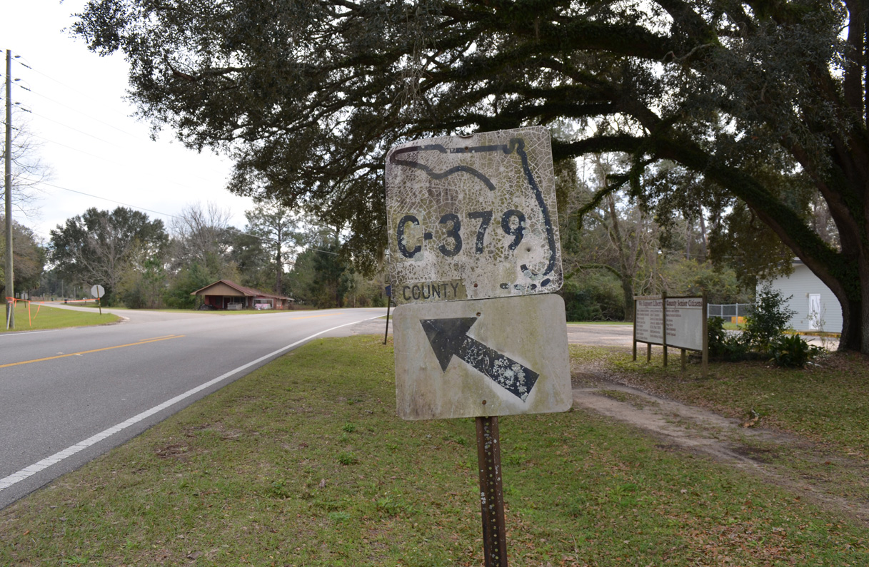
- County Road 379 – segments in Franklin, Liberty and Gadsden Counties.
- County Road 379A – similar to CR 379 with three branches.
- County Road 384 – spurs both at Port St. Joe and Apalachicola.
- County Road 1641 – renumbering of CR 271 to Torreya State Park in northern Liberty County.

