
| Highway | South/West End | North/East End | Mileage |
|---|---|---|---|
| 59 | SR 182 – Gulf Shores | SR 21 – Uriah | 94.1 |
| Former 135 | SR 182 – Gulf State Park | SR 180 – Gulf Shores | 2.1 |
| 161 | SR 182 – Orange Beach | SR 180 – Orange Beach | 1.7 |
| 180 | Fort Morgan | SR 161 – Orange Beach | 31.4 |
| 182 | Pine Beach | Florida state line (Former SR 292) | 17.3 |
| Foley Beach Express | SR 180 – Orange Beach | SR 59 – Foley | 13.5 |
| Former State Park Road 2 | SR 182 – Orange Beach | Former SR 135 – Gulf State Park | 3.0 |

Guides:
Foley Beach Express
A public/private project, the Foley Beach Express is a 13.5 mile long expressway and toll bridge between SR 59 near Summerdale and SR 180 at Orange Beach. The southernmost six miles were built with private funds (Baldwin County Bridge Company). Included in this segment is the 2,000 foot span over the Intracoastal Waterway between Orange Beach and the Baldwin County mainland. The 73 foot high bridge represented $10.5 million of the overall $36 million project.
The four lane highway and two lane bridge opened to traffic in June 2000 after construction commenced on June 2, 1999. Federal funds were used to construct the northernmost 7.5 miles of the expressway. Financing for the private portion of the road is provided by tolls collected at the Intracoastal Waterway bridge. Those rates were set at $3.50 for all passenger vehicles with discounts available for Alabama Freedom Pass users.
State Routes

Guides:
Gulf Shores Parkway
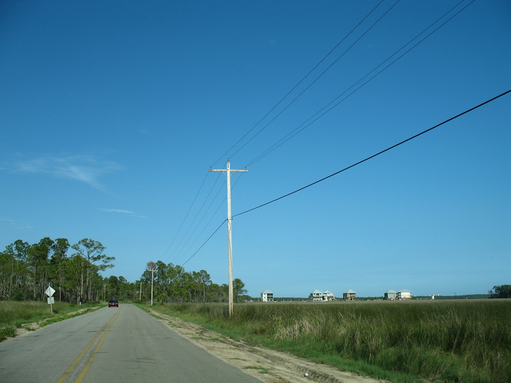
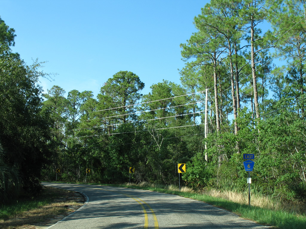
Alabama State Route 59 provides the main gateway between I-10 and I-65 to the Alabama Gulf Coast. The state route joins U.S. 31 between the two freeways as the Gulf Shores Parkway, a four lane divided highway between Loxley and Bay Minette. In conjunction with SR 287, SR 59 acts as the conduit for beach-goers from the Great Lakes and northern Alabama. South of Interstate 10, SR 59 maintains at least four overall lanes through to the terminus at Gulf Shores. Traffic slows from 55 to 35 mph through the older Downtowns of Loxley, Robertsdale, Summerdale and Foley.
The original alignment of SR 59 connected Uriah and Bay Minette in 1940. By 1957 SR 59 was extended southward to Gulf Shores over the former route of SR 32 with SR 3 shifting to become the hidden counterpart of U.S. 31 west to Spanish Fort. Four laning of the stretch between Gulf Shores and I-10 was completed by 1996 to provide additional capacity for the tourist season and hurricane evacuation situations.

Guides:
Park Road
Alabama State Route 135 was a short loop between SR 180 (E 2nd Street / Fort Morgan Road) and SR 182 (E Beach Boulevard) within Gulf State Park. The two lane roadway loops west of Shelby Lakes to provide an alternate hurricane evacuation route to SR 59.
SR 135 first appeared on the Alabama State Highway Map in 1948 as SR 138. The route was renumbered to 135 by 1957, with SR 138 reused along Hurricane Road between Crossroads and Bay Minette.
Maintenance of SR 135 transferred from the Alabama Department of Transportation (ALDOT) to the Alabama Department of Conservation and Natural Resources on 11/18/16.

Guides:
Orange Beach Boulevard
Alabama State Route 161 is Orange Beach Boulevard between SR 180 (Canal Road) and SR 182 (Perdido Beach Boulevard) in Orange Beach. The five lane arterial provides one of three connectors between the two main highways from west to east. SR 161 was signed in 1948.2

Guides:
Dixie Graves Pkwy / Canal Dr / Canal Rd / Fort Morgan Rd
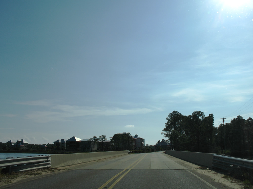
State Route 180 straddles the Gulf of Mexico along the Fort Morgan peninsula from the Fort Morgan State Historic Site eastward to Gulf Shores on Dixie Graves Parkway / Fort Morgan Road. SR 180 turns northward on E 2nd Street in Gulf Shores to Canal Drive along the Intracoastal Waterway (Portage Creek). Once in Orange Beach the highway transitions into a busy arterial route to SR 161 (Orange Beach Boulevard). Mid 2000s growth added The Wharf and Cypress Village among other Orange Beach developments.
Signed in 1940 between Fort Morgan and Gulf Shores, the state route was lengthened in 1957 to Orange Beach over the decommissioned SR 160.2 SR 180 was truncated east of SR 161 by 2019 with maintenance beyond Orange Beach Boulevard transferred to the City of Orange Beach.

Guides:
Beach Boulevard / Perdido Beach Boulevard
SR 182 provides the coastal route between Pine Beach and Perdido Key, Florida. Initially a two lane road paralleling the Gulf beaches, SR 182 swells into a five lane arterial between Lagoon Avenue in Gulf Shores and the Florida state line.
Numerous condominium high rises line SR 182 in both Gulf Shores and Orange Beach, resulting in heavy traffic congestion during summer months. Sandwiched between the resort towns is Gulf State Park, a natural area encompassing Shelby Lakes that includes a 1512 foot long fishing pier. Additional units of the state park line both sides of Perdido Pass by the high level bridge along SR 182.
Alabama State Route 182 first appeared on Alabama State Highway maps in 1951.2
State Park Road 2
State Park Road 2 looped east from Park Road (old SR 135) to SR 182 (East Beach Boulevard) between Shelby Lakes and within Gulf State Park. A 1.5 mile long section of Park Road 2 closed permanently to vehicular traffic on April 18, 2016. The closure was part of the Gulf State Park master plan, which converted the roadway into a path for pedestrians, cyclists and a future park tram. Two segments of the road were retained for access to the park golf course and campgrounds.1
 | State Park Road 2 eastbound left SR 135 (Park Road) for the Gulf State Park golf course north of Shelby Lakes. The shield pictured here was removed by 2006. 05/16/04 |
 | Park Road 2 turned southward and served the Gulf State Park nature center and campground facilities before concluding at SR 182 (East Beach Boulevard) by the Gulf of Mexico. SR 182 travels west to the Gulf State Park Pier and Gulf Shores and east to Orange Beach and Perdido Key, Florida. 05/16/04 |
Alabama Gulf Coast County Roads

29th Avenue / Brown Lane / Cotton Creek Road / Oyster Bay Road
 | Cotton Creek Drive carries CR 4 east from SR 59 (Gulf Shores Parkway) at 36th Avenue to the Foley Beach Express. Connections to the toll bridge south into Orange Beach are provided by Roscoe Road north to Bradford Road east. 08/01/06 |
 | CR 4 reassurance marker posted on Brown Lane after Roscoe Road. Cotton Creek Road comprises the main access road to the sprawling Craft Farms golf course subdivision community. 08/01/06 |
 | Brown Lane loops under the Foley Beach Express toll bridge and connects with the northbound side of the expressway. 08/01/06 |
 | Passing under the Intracoastal Waterway bridge of the Foley Beach Express. The expressway narrows to two lanes as it crosses the waterway on a toll bridge built in 2000. 08/01/06 |
 | Construction along the south side of the Intracoastal related to The Wharf rises to encompass the view of Browns Lane on the eastward turn under the toll bridge. A long delayed development lines the north side of the Intracoastal adjacent to the Foley Beach Express. Partially built structures associated with Bama Bayou occupied areas east of the toll plaza for years. 08/01/06 |
 | Heading west along 29th Avenue through an area that was slated for the massive Bon Secour Village development. Only a handful of streets were built in 2006, and much of the area remains undeveloped due to financial woes of the developing company and the real estate collapse of the late 2000s. 08/01/06 |
 | CR 4 transitions to Oyster Bay Road, eventually crossing wetlands along northern reaches of the bay. 08/01/06 |
 | CR 4 concludes at CR 6. County Road 6 spurs west onto Plash Island and arcs northeast along the Bon Secour River to Pak and SR 59 (Gulf Shores Parkway). 08/01/06 |

Oak Road West
 | Easterly view of CR 6 near the highway beginning at Todd Lane south / Plash Road north. Marshy areas of the Intracoastal Waterway line the south side of Plash Island along the county road. 08/01/06 |
 | Approaching the split with CR 4 (Oyster Bay Road) east on CR 6. The two partition east of the Oyster Bay bridge off Plash Island. 08/01/06 |
 | CR 4 stems east from County Road 6 through the Bon Secour Village area to 29th Avenue and SR 59 (Gulf Shores Parkway) north of the Intracoastal Waterway. 08/01/06 |
 | CR 6 turns northward and parallels the Bon Secour River to Oak from County Road 4. 08/01/06 |
 | The final stretch of CR 6 east takes the road onto Oak Road West to SR 59 (Gulf Shores Parkway). 08/01/06 |
 | CR 6 ends at SR 59. Oak Road East spurs from Gulf Shores Parkway to the Craft Farms golf course subdivision community. 08/01/06 |
 | Westbound reassurance shield posted for CR 6 after the highway begins and follows Oak Road West away from SR 59 (Gulf Shores Parkway). 08/01/06 |
 | Leaving the intersection with CR 4 (Oyster Bay Road), CR 6 spans Oyster Bay and reaches Plash Island. The span was rebuilt in 1997. 08/01/06 |

County Road 8
 | Advancing east along CR 8 after the two lane, divided parkway portion of road concludes at Viola Road. 08/02/06 |
 | CR 8 kinks northeast ahead of SR 59 (Gulf Shores Parkway) through northern reaches of Gulf Shores. 08/02/06 |
 | Still not a signalized intersection as of 2009, CR 8 crosses SR 59 and continues east toward several new subdivisions carved out of former farm fields to the end at the Foley Beach Express. 08/02/06 |
 | CR 8 begins from the Foley Beach Express and travels west through northern reaches of the Craft Farms development in Gulf Shores. 06/13/10 |
 | Traveling west along CR 8 from SR 59 (Gulf Shores Parkway). This stretch of roadway connects the parkway with Huggers Landing and a handful of other subdivisions east of the Bon Secour River and south of Boggy Branch. 08/02/06 |
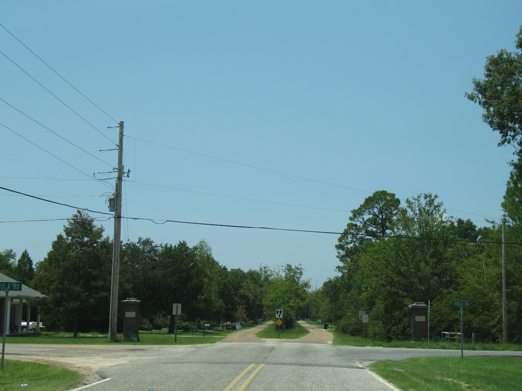 | The signed portion of CR 8 ends at the intersection with Viola Road. Viola Road heads south to Wetlands Nature Park and north to Pine Acres Road. A two lane divided parkway continues the unsigned stretch of County Road 8 west to the Bon Secour River. 08/02/06 |

County Road 10
There are three branches of Baldwin County Road 10. The main stretch of CR 10 extends east from Baldwin County Road 19 to State Route 59 in south Foley. CR 10’s north-south branch follows Bon Secour Highway south from the east-west portion to River Road on the Bon Secour River.
 | CR 10 begins east from CR 19. This is the first confirming marker. 08/01/06 |
 | CR 10 east converges with CR 10 (Bon Secour Highway) northbound at this stop sign. 08/01/06 |
 | Continuing east along CR 10 from Bon Secour Highway. 08/01/06 |
 | One half mile further east is the four way stop with CR 65. 08/01/06 |
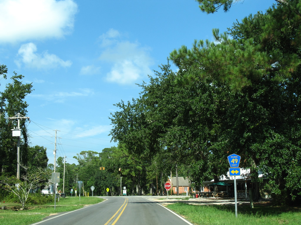
 | CR 65 travels one quarter mile north from Caldwell Lane west / Steele Drive to CR 10 north of Bon Secour. There are rour sections of the route; the southernmost continuing north from CR 10 to CR 28 (Marlow Road) outside Summerdale. 08/01/06 |
 | CR 10 concludes east at SR 59. 08/01/06 |
 | CR 10 ends opposite Richard Childress Lane. SR 59 travels north to downtown Foley and south to Gulf Shores. 08/01/06 |
 | Continuing west along CR 10 after the split with CR 10 (Bon Secour Highway) south. 08/01/06 |
 | CR 10 ends 1.5 miles after County Road 10 south at CR 19. 08/01/06 |
 | CR 19 only travels one half mile north to CR 16 and one mile south to CR 49 South near Bon Secour. 08/01/06 |
 | The northbound beginning of CR 10 (Bon Secour Highway) as the highway leaves River Road. 08/01/06 |
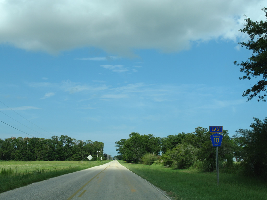
 | CR 49 South crosses paths with Bon Secour Highway 1.25 miles north of River Road at Bon Secour. 08/01/06 |
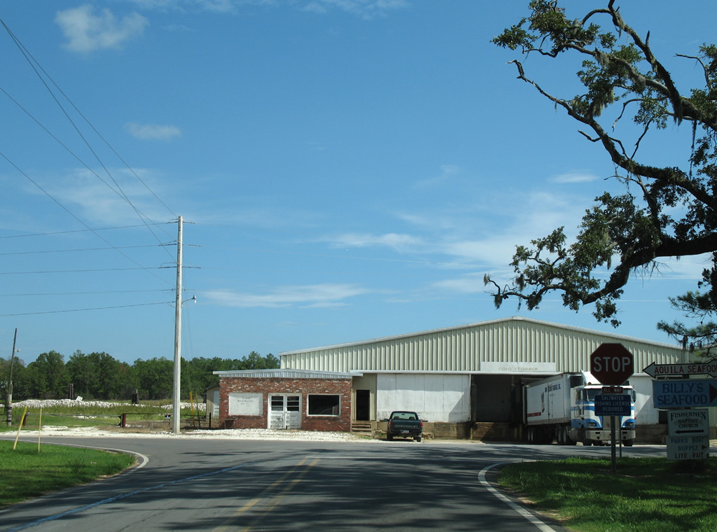
 | CR 49 South ends at Bon Secour Fisheries, Inc. on the Bon Secour River to the southeast and otherwise stems west to CR 49 north at Skunk Bayou. Other branches of CR 49 lead northward to Steelwood in north Loxley. 08/01/06 |
 | An older set of 20" flashers advised caution to CR 10 motorists at the stop sign for CR 49 South. 08/01/06 |
 | CR 10 (Bon Secour Highway) north defaults onto CR 10 east toward Foley and Gulf Shores. 08/01/06 |
 | Turning southward onto the Bon Secour Highway portion of CR 10 from CR 10 west. 08/01/06 |
 | CR 10 (Bon Secour Highway) concludes at River Road opposite a marine facility on the Bon Secour River. River Road spurs west and east along the waterway. 08/01/06 |
Sources:
- “State stuns mayor, slams door on road to Gulf State Park.” Mobile Register, April 21, 2016.
Page Updated February 20, 2011.