
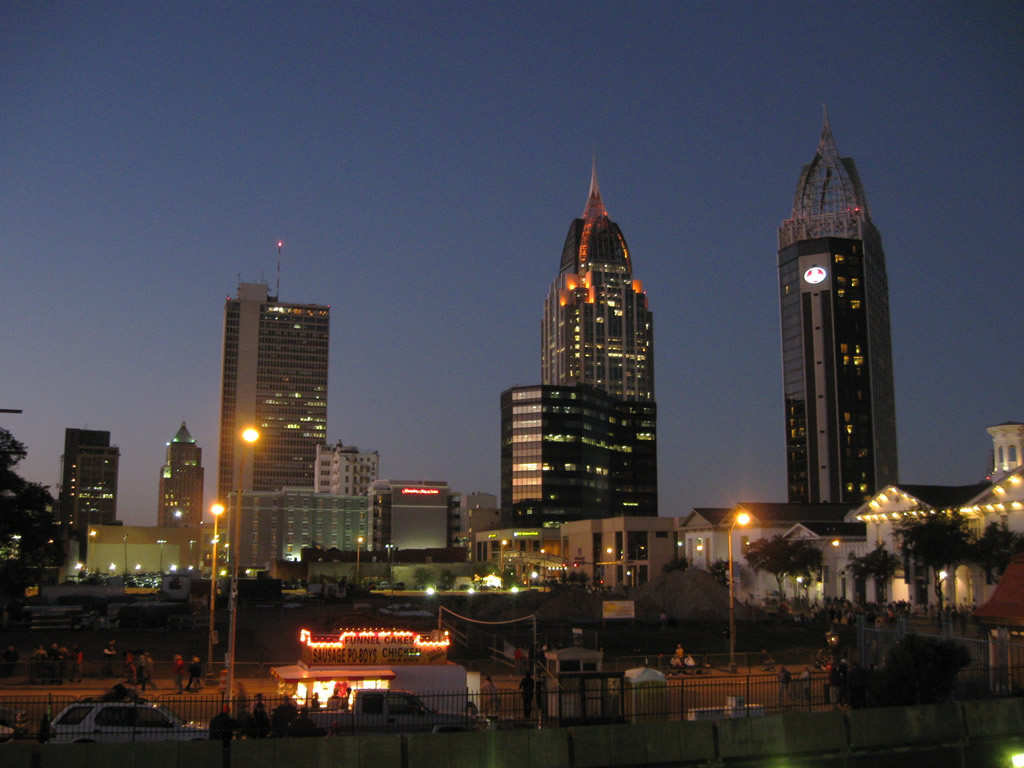
Looking north at the Mobile skyline from Fort Condé ahead of the Maids of Mirth Mardi Gras Parade. 02/06/09
Airport Boulevard
Guides:
Mobile’s busiest arterial route extends east from Mississippi 614 through rural west Mobile County to the Seven Hills area. Expanding to four lanes, Airport Boulevard advances east from Snow Road to Mobile Regional Airport (MOB). The congested route expands to six lanes through a retail corridor east to I-65 and Bel Air Mall.
Air Terminal Drive
Completed in October 2010, Air Terminal Drive links a five-point roundabout with an extension of Grelot Road and Dawes Road south with Mobile Regional Airport (MOB) at Airport Boulevard. The new road provided an alternate to Airport Boulevard and Schillinger Road for airport travelers.
[ngg_images display_type=”photocrati-nextgen_pro_thumbnail_grid” tag_ids=”air-terminal-dr-mobile”]Ann Street
Ann Street runs north from U.S. 90 (Government Street) to U.S. 98 (Spring Hill Avenue) at the south end of U.S. 45 (St. Stephens Avenue), and Dr. Martin Luther King, Jr. Avenue in Mobile.
[ngg_images display_type=”photocrati-nextgen_pro_thumbnail_grid” tag_ids=”ann-st-mobile”]Bankhead Tunnel (U.S. 98)
Guides:
Opened February 20, 1941, the Bankhead Tunnel carries U.S. 98 from Government Street in Downtown Mobile to Battleship Parkway. 3,389 feet in length, the tunnel was built at a cost of $4 million.3 Tolls were collected at a plaza located at the tunnel east entrance from 1941 through to the mid 1970s. The speed limit through the two-lane tube is 35 mph, and the Bankhead Tunnel is restricted to vehicular traffic only.
Africatown Boulevard / Bay Bridge Road (U.S. 90/Truck U.S. 98)
Guides:
Renamed to Africatown Boulevard, Bay Bridge Road loops to the north of Downtown Mobile and the Alabama State Docks. The arterial carries U.S. 90 and U.S. 98 Truck across the Africatown Bridge, a cable-stayed span over the Mobile River. Speed limits on the road vary from 45 miles per hour in Prichard to 55 mph along Blakeley Island.
Broad Street (U.S. 90 / U.S. 98 / U.S. 98 Truck)
Once the roadway for five different U.S. routes, Broad Street carries portions U.S. 90, U.S. 98, and U.S. 98 Truck. Named after the former Major League Baseball home run king and Mobile Native, the urban arterial is part of the Hank Aaron Loop encircling Downtown. Broad Street leads south from U.S. 90 and 98 (Government Street) and Canal Street through older residential areas through to Interstate 10 and the Mobile Aeroplex at Brookley industrial area. Broad Street north transitions into Beauregard Street with six lanes, forming part of a truck route around Downtown.
[ngg_images display_type=”photocrati-nextgen_pro_thumbnail_grid” tag_ids=”broad-st-mobile”]Beauregard Street (U.S. 90 / U.S. 98 Truck)
Beauregard Street is a continuation of Broad Street east from Dr. Martin Luther King, Jr. Avenue to Water Street, I-165, the Alabama State Docks and Dekle Drive. A portion of the six-lane urban arterial retains concrete.
[ngg_images display_type=”photocrati-nextgen_pro_thumbnail_grid” tag_ids=”beauregard-st-mobile”]Canal Street
Canal Street is a four-lane parkway built as part of an urban renewal project in the 1970s. The four-lane roadway connects Broad Street with Interstate 10 at Claiborne and Water Streets. The service roads accompanying the north side between Broad and Lawrence Streets are older sections of Canal Street.1 Canal Street is also part of the Hank Aaron Loop around Downtown and one of the Mardi Gras parade routes.
[ngg_images display_type=”photocrati-nextgen_pro_thumbnail_grid” tag_ids=”canal-st-mobile”]Claiborne Street
Claiborne Street represents the main gateway into Downtown Mobile from Interstate 10 eastbound. The street expands into a four-lane arterial along side the Mobile Civic Center through to the separation with Jackson and Conception Streets. Claiborne Street is partially blocked off during Mardi Gras season, as the lanes are turned into a staging area for musical acts partaking in the parades.
[ngg_images display_type=”photocrati-nextgen_pro_thumbnail_grid” tag_ids=”claiborne-st-mobile”]Conception Street / Road
North-south roadway that extends Conception Street out of Mobile northward into Prichard. The highway is dwarfed by Interstate 165 to the east, and passes by wetlands areas before entering an industrial area. The north end is at the Craft Highway adjacent to Interstate 165 and U.S. 90 at Bay Bridge Road.
Conception Street/Road once carried U.S. 43 from Beauregard Street at Water Street northward to Telegraph Road. During Fall of 2001, a bridge on Telegraph Road over a railroad spur adjacent to Interstate 165 was permanently closed. Thus, truncating U.S. 43 north to the intersection of Telegraph Road at Traffic Street near U.S. 90 in Prichard.
[ngg_images display_type=”photocrati-nextgen_pro_thumbnail_grid” tag_ids=”conception-st-mobile”]Congress Street
East-west street linking Downtown with Bishop State Community College and St. Stephens Road. Congress Street turns at Broad Street to parallel State and Adams Street in the northern reaches of the central business district.
[ngg_images display_type=”photocrati-nextgen_pro_thumbnail_grid” tag_ids=”congress-st-mobile”]Cottage Hill Road
Guides:
Cottage Hill Road is the one of the main east-west arterials connecting West Mobile with Midtown Mobile. The five-lane roadway arcs southwest from Bel Air Boulevard to Azalea Road. Turning more westerly, Cottage Hill Road continues through older suburban areas to Cody and Sollie Roads, where it exits the Mobile city limits and becomes County Road 40.
Alphonso Mason writes:
Cottage Hill Road used to be part of the infamous “Malfunction Junction” intersection at the I-65 service roads. If you were living in Mobile between the 1970s and the mid-1980s, you would notice four-way stop signs erected along Cottage Hill and Pleasant Valley Roads at the two Interstate 65 service roads. Traffic jams stretching a few miles along Cottage Hill and Pleasant Valley Roads were not uncommon in those days — a reflection of population moving westward. Traffic control is lot better, thanks to the widening of Cottage Hill Road east of Montlimar Drive and the erection of traffic signals at the service roads during the mid-1980s.4
Dauphin Street
Dauphin Street originally ran just between Midtown and Downtown in Mobile. During the 1960s and 1970s, Dauphin Street was extended west as a four lane divided parkway to a new interchange with Interstate 65 and McGregor Road.
Dauphin Street forms a one way couplet with St. Francis Street westbound from Broad Street east into Downtown Mobile. The final blocks of Dauphin Street are known as the LoDa (Lower Dauphin Street Entertainment District)1. In addition to a number of bars and restaurants, attractions at LoDa include the nearby Saenger Theatre (home to the Mobile Symphony) and Bienville Square.
The final blocks of Dauphin Street and St. Francis Streets, along with Royal Street altogether, were converted to two way streets to improve accessibility for RSA Tower and the adjacent Battle House Hotel. The new traffic pattern was announced in 2003.
[ngg_images display_type=”photocrati-nextgen_pro_thumbnail_grid” tag_ids=”dauphin-st-mobile”]Duval Street
Duval Street is an urban collector joining Dauphin Island Parkway (SR 163), Michigan Avenue, Ann Street, and Interstate 10 through the Maysville and Arlington communities of Mobile.
[ngg_images display_type=”photocrati-nextgen_pro_thumbnail_grid” tag_ids=”duval-st-mobile”]Government Street (U.S. 90 / 98)
Government Street is a five lane, mostly tree lined, urban boulevard that is the main route across the Mobile central business district. U.S. 90 follows Government Street east to Broad Street, where it turns north alongside U.S. 98 westbound. U.S. 98 overtakes Government Street east from Broad Street to the Bankhead Tunnel. Government and Broad Streets are part of the main parade route during Mardi Gras season.
[ngg_images display_type=”photocrati-nextgen_pro_thumbnail_grid” tag_ids=”government-st-mobile”]Hillcrest Road
Hillcrest Road is a four to five lane arterial linking the Tillman’s Corner area with Old Shell Road at the University of South Alabama. Four laning between Airport Boulevard and Old Shell Road was completed by 2007. Additional expansion took place from Girby Road south to CR 32 (Three Notch Road) in 2009.
[ngg_images display_type=”photocrati-nextgen_pro_thumbnail_grid” tag_ids=”hillcrest-rd-mobile”]Holcombe Avenue (Historic U.S. 90)
Holcombe Avenue is a short urban boulevard between U.S. 90 (Government Street) near SR 163 (Dauphin Island Parkway) and Halls Mill Road through the Rickarby community of Midtown Mobile. U.S. 90 followed Holcombe Avenue until Government Boulevard was constructed to the northwest. The route for U.S. 90 in 1926 extended southwest from Holcombe Avenue along Halls Mill Road to Tillman’s Corner.
[ngg_images display_type=”photocrati-nextgen_pro_thumbnail_grid” tag_ids=”holcombe-av-mobile”]Jackson Street
Other Mobile Arterials and Streets
Sources:
- C-Ro, email: “About Mobile,” May 28, 2004.
Page Updated February 27, 2018.