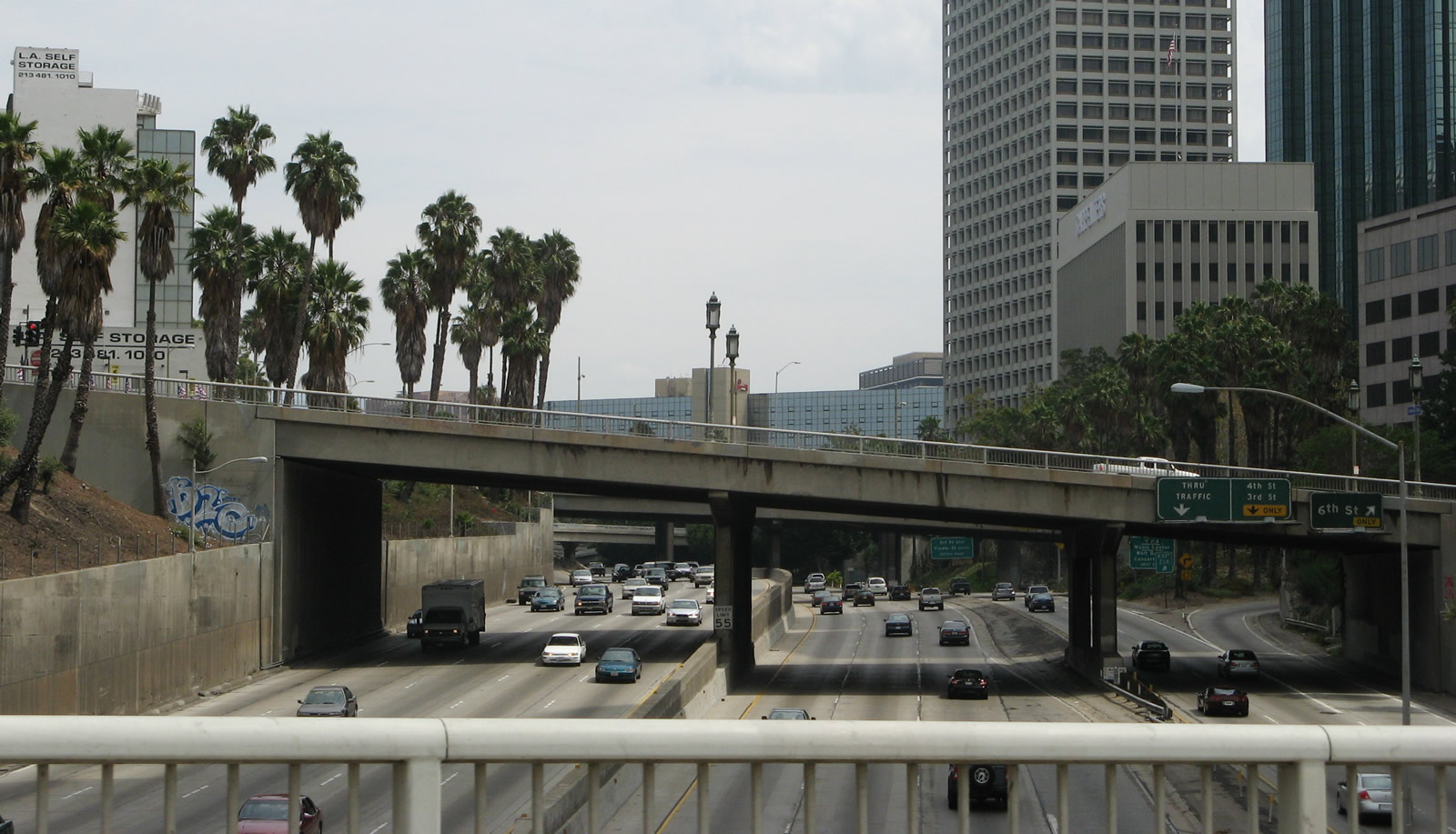
This view looks north on California 110 (Harbor Freeway) from Seventh Street in Downtown Los Angeles. The freeway separates into a local/express configuration, with collector distributor lanes accessing the various exits, and the express segment bypassing all of them to the Four-Level Interchange. 08/26/07
Interstate 110 and California 110 provide a continuous freeway link from the Port of Los Angeles at San Pedro with Downtown Pasadena. The portion of Harbor Freeway between San Pedro and Interstate 10 is Interstate-standard. This section of freeway has benefited by the construction of separated high occupancy vehicle lanes (known as the Harbor Freeway Transitway) and multimodal transportation facilities.
Once at Interstate 10, I-110 transitions into California 110 and the Harbor Freeway becomes the Arroyo Seco Parkway (Pasadena Freeway). This busy, symmetrical stack interchange joins California 110 with U.S. 101 (Hollywood Freeway) north and U.S. 101 (Santa Ana Freeway) south. The section of California 110 between Interstates 10 and 5 passes through Downtown Los Angeles and is almost always full of traffic, seemingly at all hours of day and night.
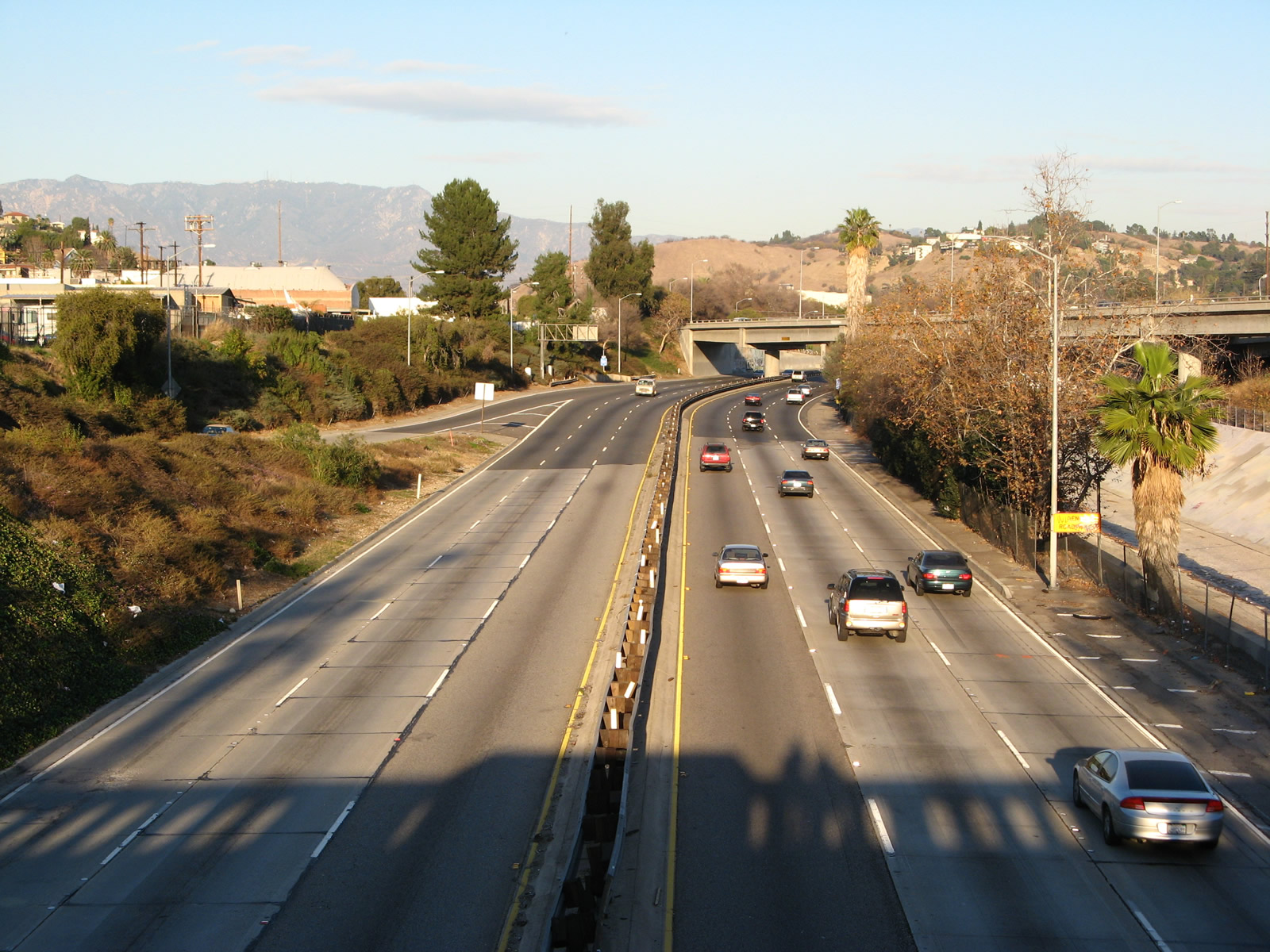
Leaving the Four-Level Interchange in Downtown Los Angeles, California 110 turns along the Arroyo Seco Parkway (Pasadena Freeway). The historic parkway travels northeast toward Pasadena with an entirely different look and feel. Gone are all of the innovative transit and high occupancy vehicle lanes that were featured on Interstate 110. Much of this freeway has seen little change since its original 1940s construction. Arroyo Seco Parkway sees very short deceleration lanes for exits, stop signs on the on-ramps, narrow or nonexistent shoulders and limited sight distances. By the time it reaches Pasadena, the limited access parkway changes into Arroyo Parkway, a wide surface street. The state route concludes at the freeway end, but it used to continue north to Colorado Boulevard (Historic U.S. 66).
Interstate 110 California Guides
California 110 and Interstate 110 were originally part of both U.S. 6 and California 11 along the Harbor and Pasadena Freeways southwest of I-5, and were a part of U.S. 66 and California 11 along the Arroyo Seco Parkway northeast of I-5. Once the U.S. routes were decommissioned in 1964, the freeways were numbered solely as California 11. That changed in 1985, when the Harbor Freeway segment south of Interstate 10 was added to the Interstate Highway System, and designated as Interstate 110. At the same time, the remaining segment of the Harbor Freeway and all of the Arroyo Seco Parkway (Pasadena Freeway) were renumbered to California 110. Through Downtown (between I-10 and U.S. 101), the Harbor Freeway is generally signed as California 110 on the northbound lanes and as Interstate 110 on the southbound lanes.
|
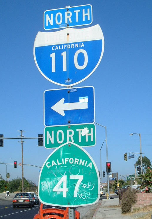
| These trailblazers are located near the southern terminus of I-110 at SR 47, which leads to the Port of Los Angeles and Terminal Island via the Vincent Thomas Bridge, in the community of San Pedro in the city of Los Angeles. Gaffey Street south of SR 47 into San Pedro was formerly a signed extension of SR 110 between the Harbor Freeway and Ninth Street. That section of state route was decommissioned in the early 2000s. 07/21/01 |
|
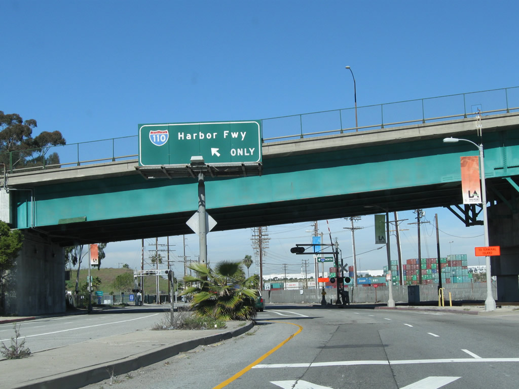
| Overhead sign for Interstate 110 (Harbor Freeway) north posted on northbound Harbor Boulevard at the SR 47 (Seaside Freeway) overpass. Traffic to I-110 north briefly uses SR 47 south. 02/13/11 |
|
| Near the Los Angeles Coliseum, eastbound Martin Luther King, Jr. Boulevard approaches the loop ramp for Interstate 110 north. 08/26/08 |
|
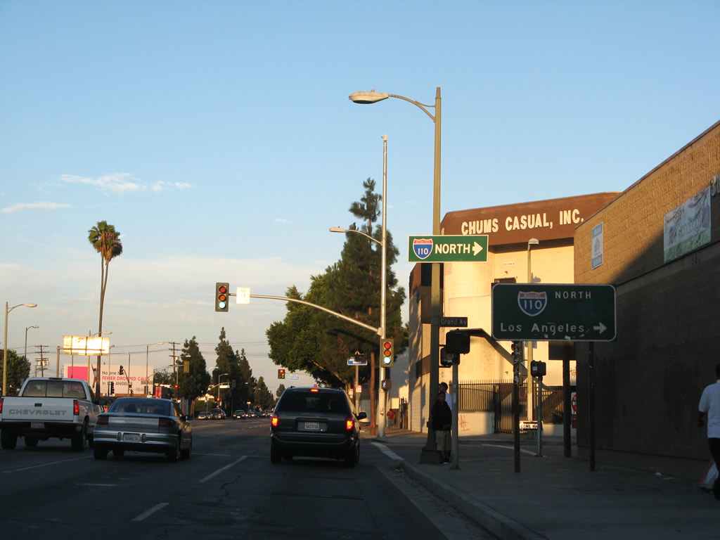
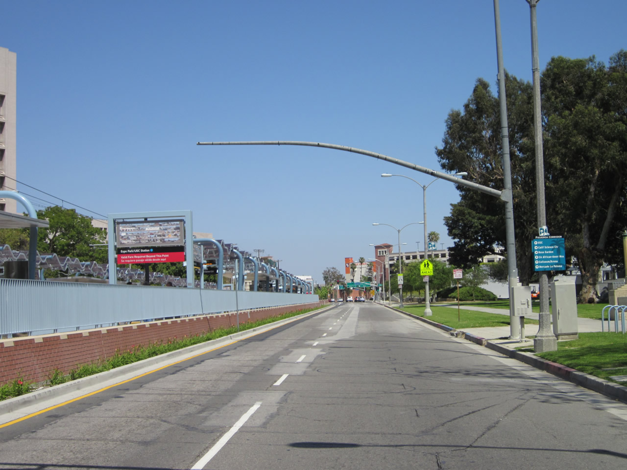
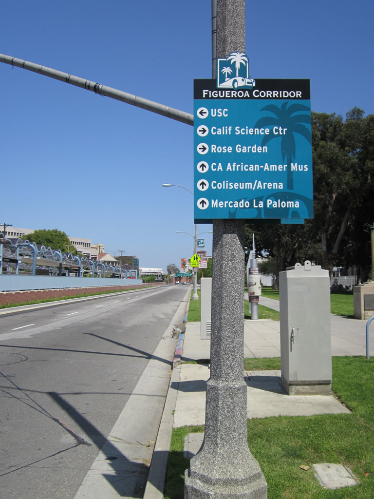
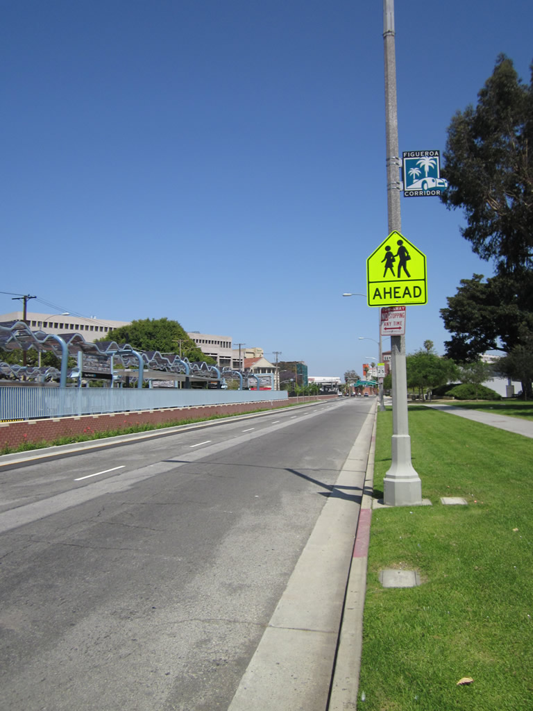
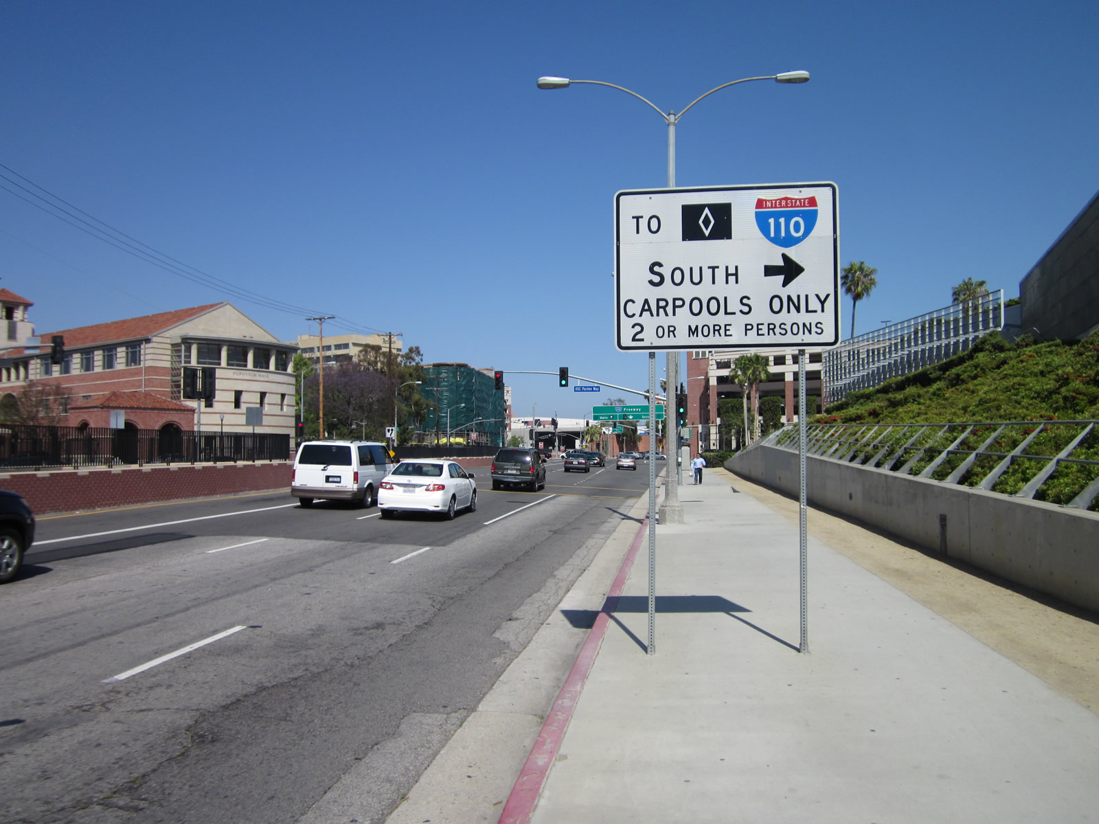
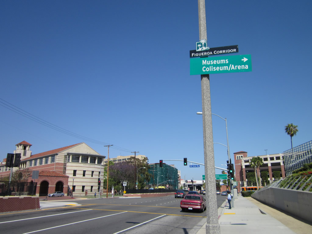
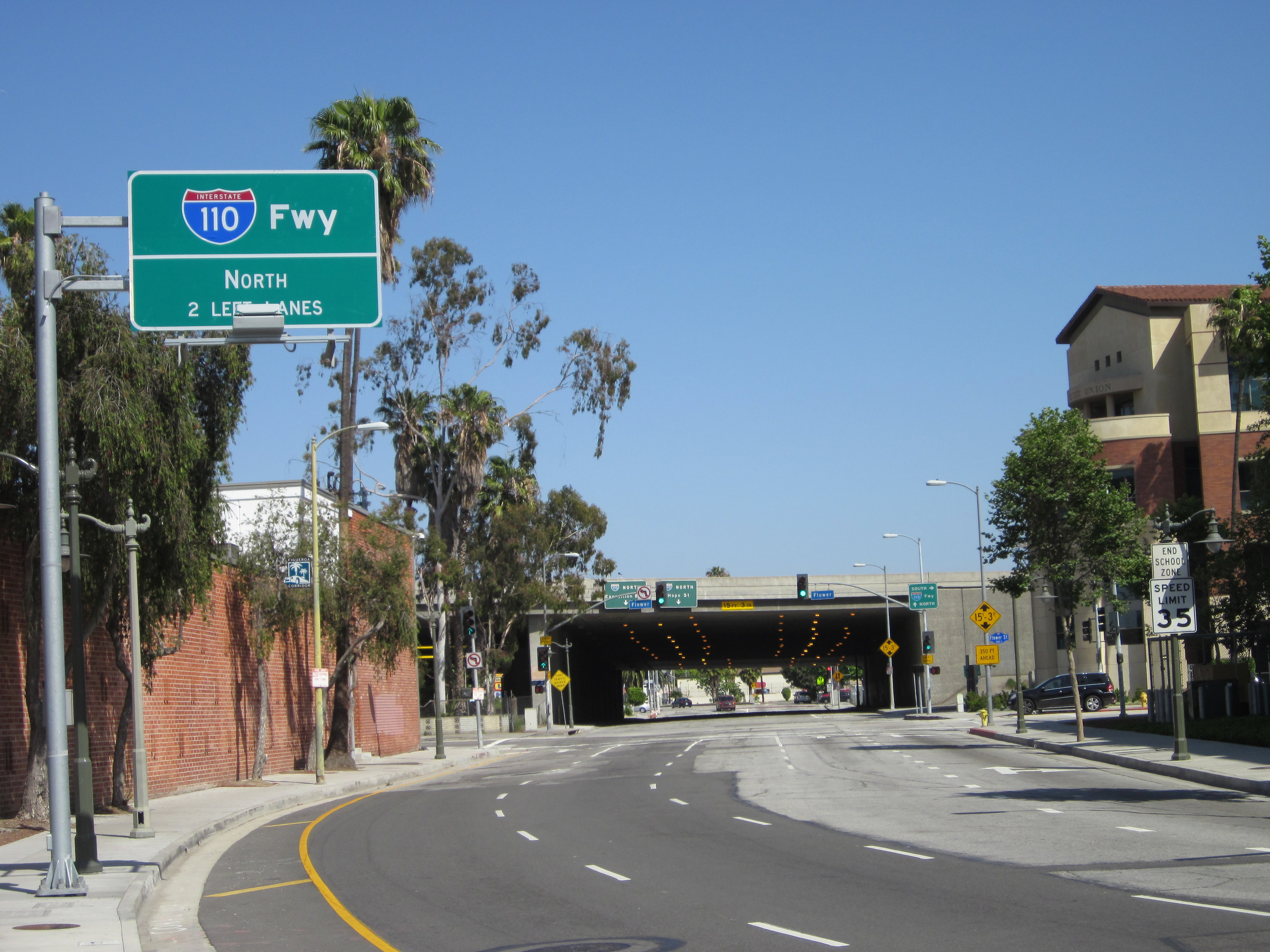
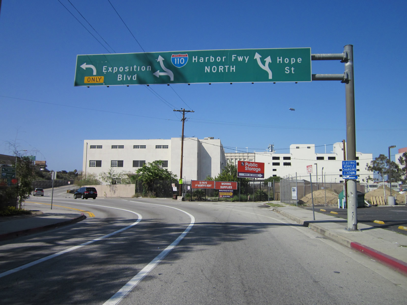
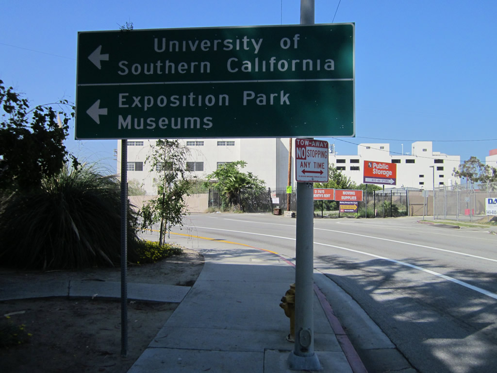
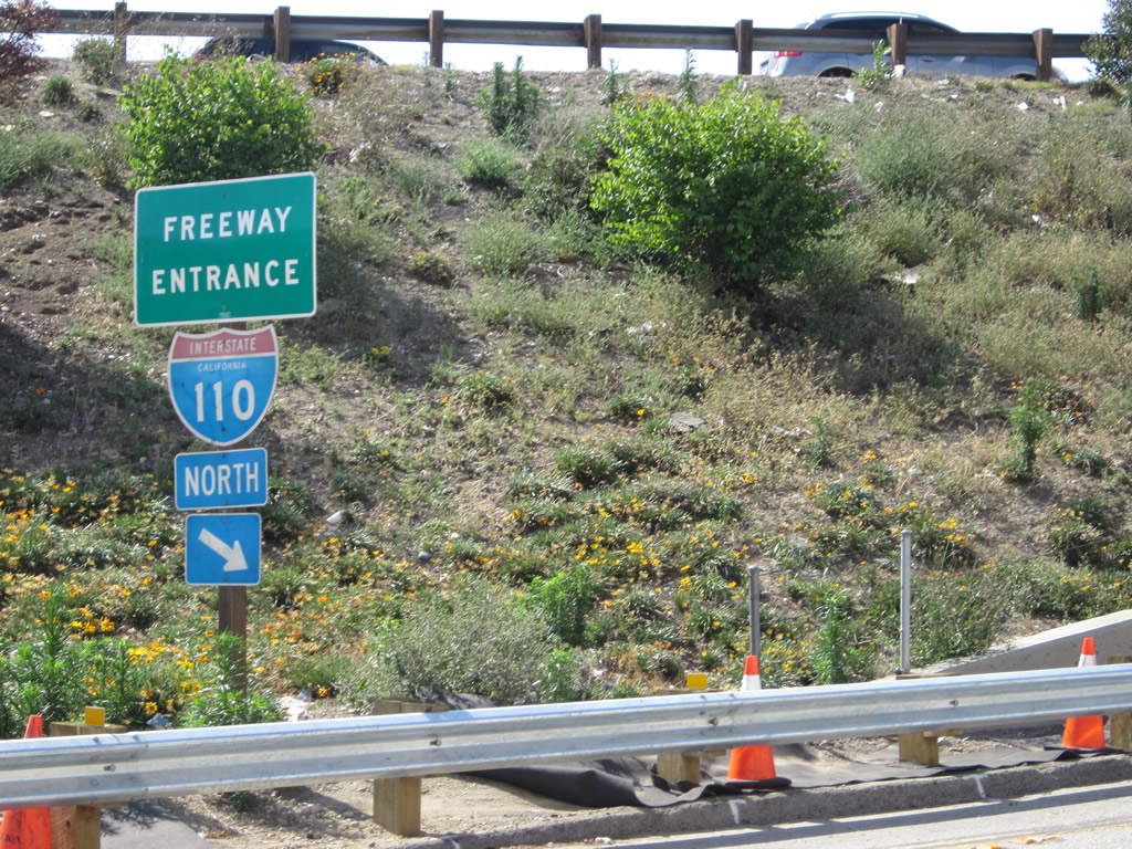
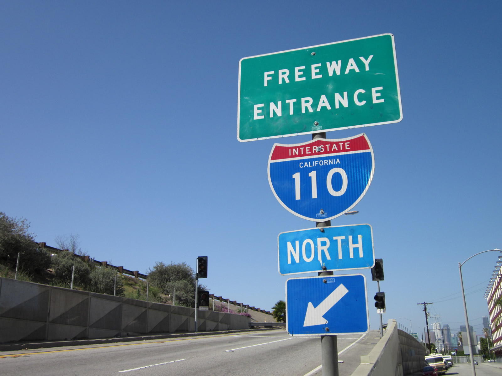
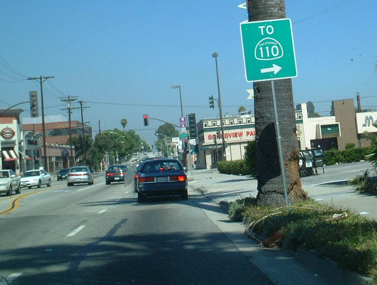
| Near the Metro Expo Line (a light rail facility that links downtown Los Angeles with Santa Monica), eastbound Exposition Boulevard passes by the southern edge of the University of Southern California and the northern edge of Exposition Park. This series of signs is posted along eastbound Exposition Boulevard en route to Figueroa Street and the onramp to Interstate 110/Harbor Freeway. Figueroa Street is a historic corridor, formerly designated as part of U.S. 6 and SR 11 between San Pedro and downtown Los Angeles (both of those routes were moved onto the Harbor Freeway once it was built, and they both were decommissioned ultimately in favor of Interstate 110). The last pictures, which show the approach along eastbound, are actually on 37th Street. At Figueroa Street, eastbound traffic shifts from Exposition Boulevard to 37th Street. Westbound traffic follows Exposition Boulevard at the Interstate 110 interchange. 05/05/12 |
|
| Hope Street serves briefly as a short frontage road parallel to Interstate 110. It begins from the off-ramp from Interstate 110 (Harbor Freeway) north at Exit 20B (Exposition Boulevard and 37th Street off-ramp) and travels north to Exposition Boulevard and Jefferson Boulevard. Other disconnected segments of Hope Street exist further northeast of here. 05/05/12 |
|
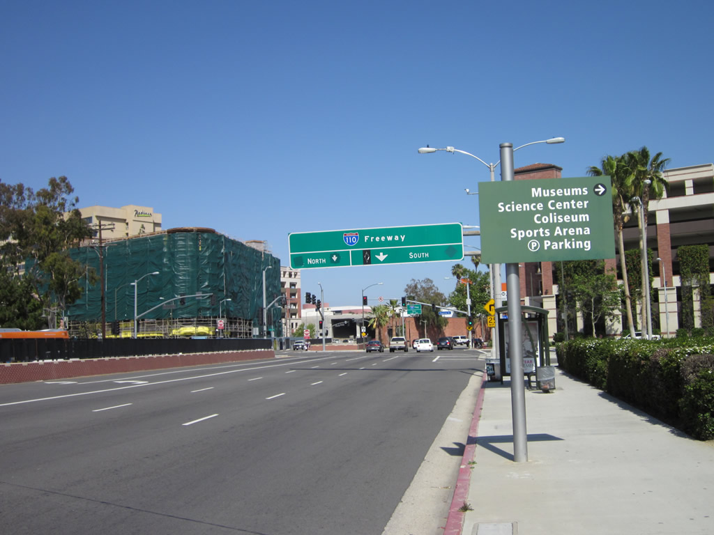
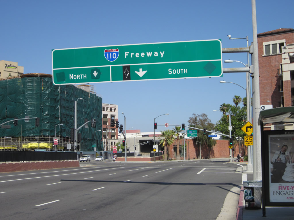
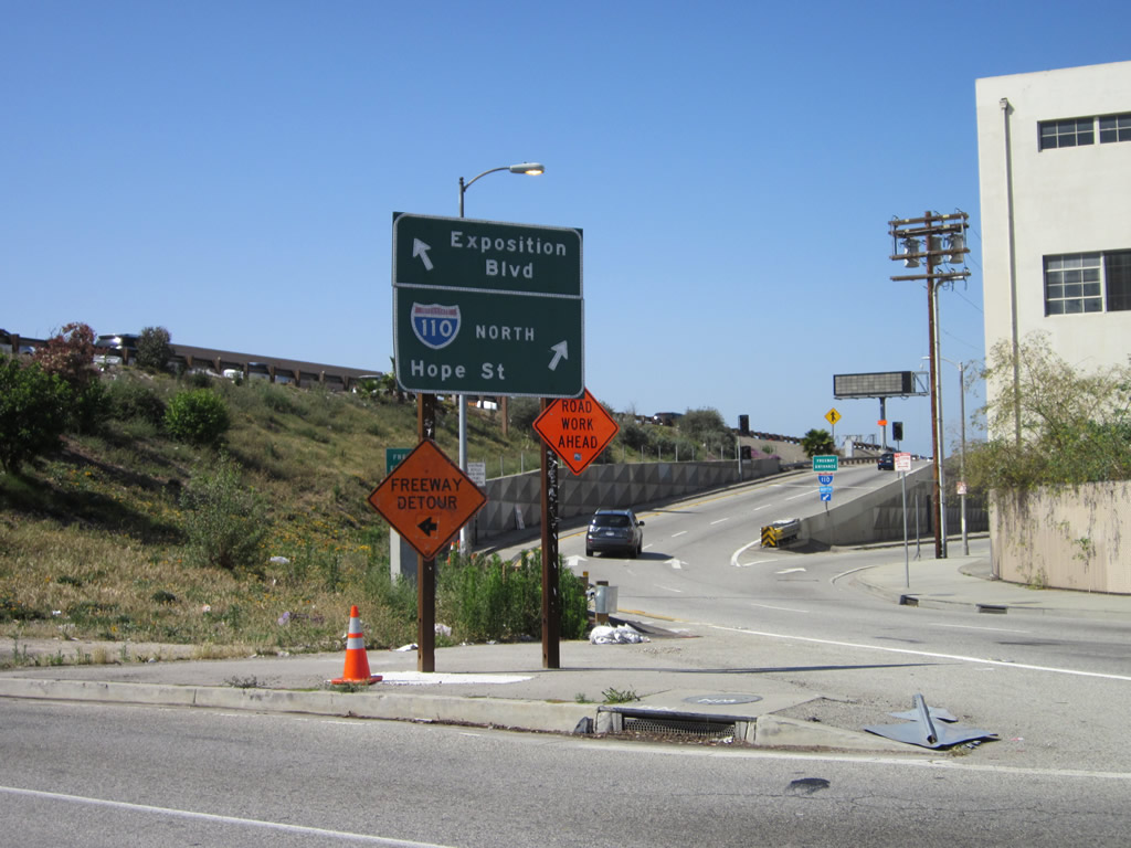
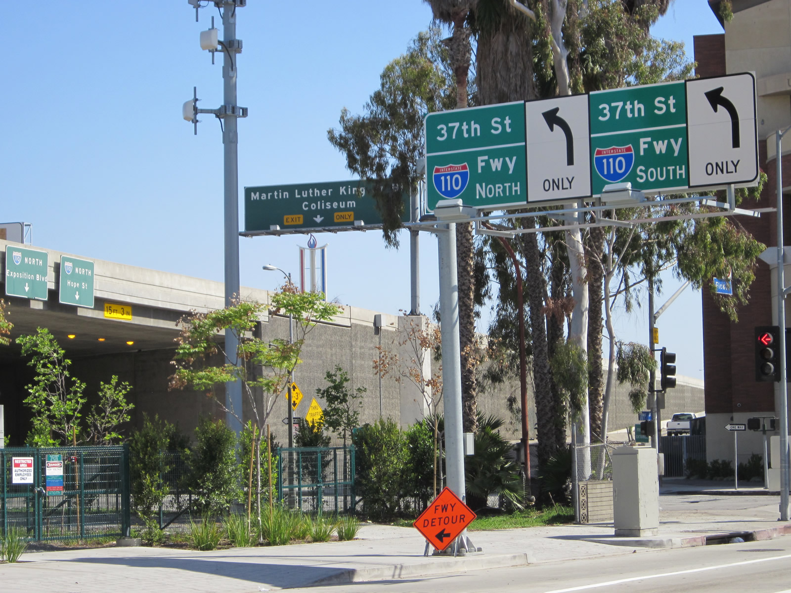
| This series of pictures shows the progression of signs between 37th Street, Exposition Boulevard, and the on-ramp back to Interstate 110 north prior to the Jefferson Boulevard intersection. Thia location is just east of the University of Southern California (USC), Exposition Park and the Los Angeles Coliseum. 05/05/12 |
|
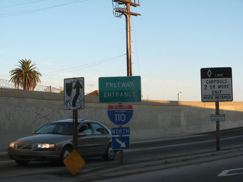
| Southbound Flower Street approaches the onramp to Interstate 110 (Harbor Freeway) south. This picture is taken looking south from the intersection of Flower Street and Exposition Boulevard. The next intersection beyond here is with 37th Street. 05/05/12 |
|
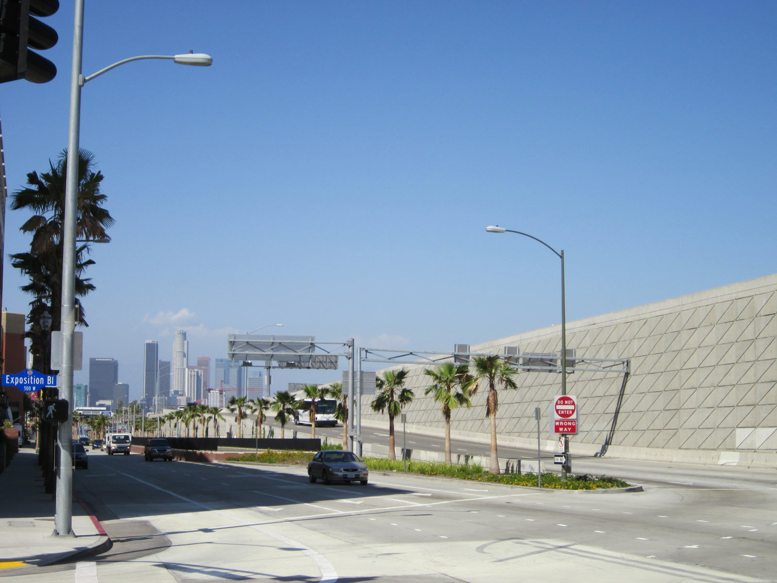
| This view looks north along Flower Street (one way southbound) as well as the offramp from Interstate 110 south at Exit 20B. Downtown Los Angeles is visible from this interchange. 05/05/12 |
|
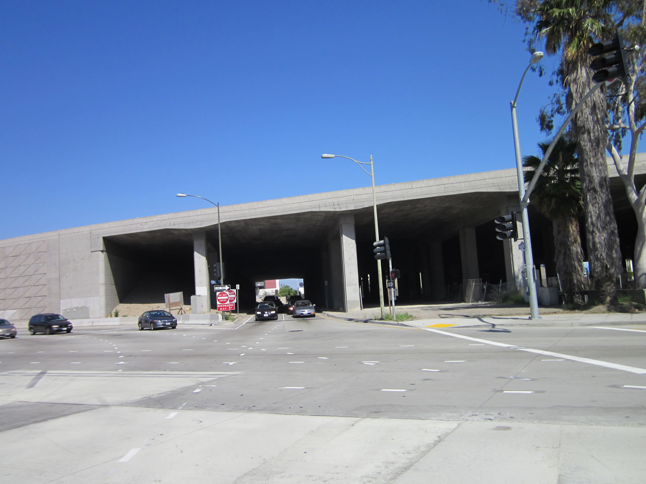
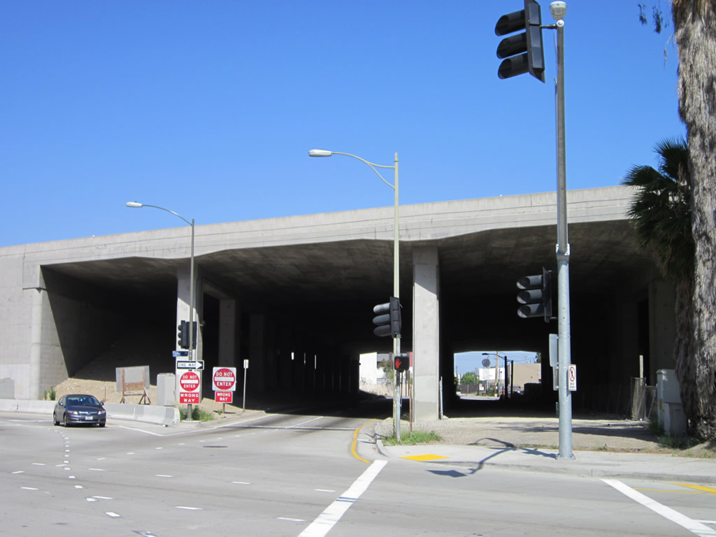
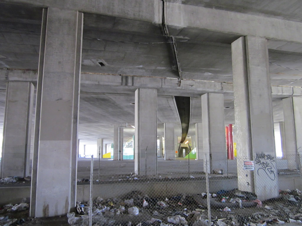
| Exposition Boulevard travels one way westbound under passes under Interstate 110, which follows an elevated viaduct as it passes by the University of Southern California and Exposition Park. Underneath the massive viaduct is this view, which includes roads passing underneath as well as unused land. 05/05/12 |
|
| Exposition Boulevard passes under Interstate 110, which follows an elevated viaduct as it passes by the University of Southern California and Exposition Park. Underneath the massive viaduct is this view, which includes roads passing underneath as well as unused land. 05/05/12 |
|
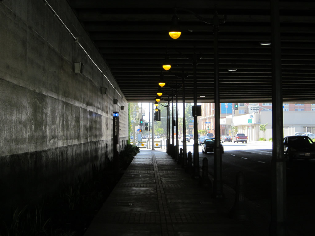
| Westbound Jefferson Boulevard passes under the elevated section of Interstate 110/Harbor Freeway between Hope Street and Flower Street. Improvements resulted in enhanced lighting and landscaping under this section of the 110 viaduct. 08/26/07 |
|
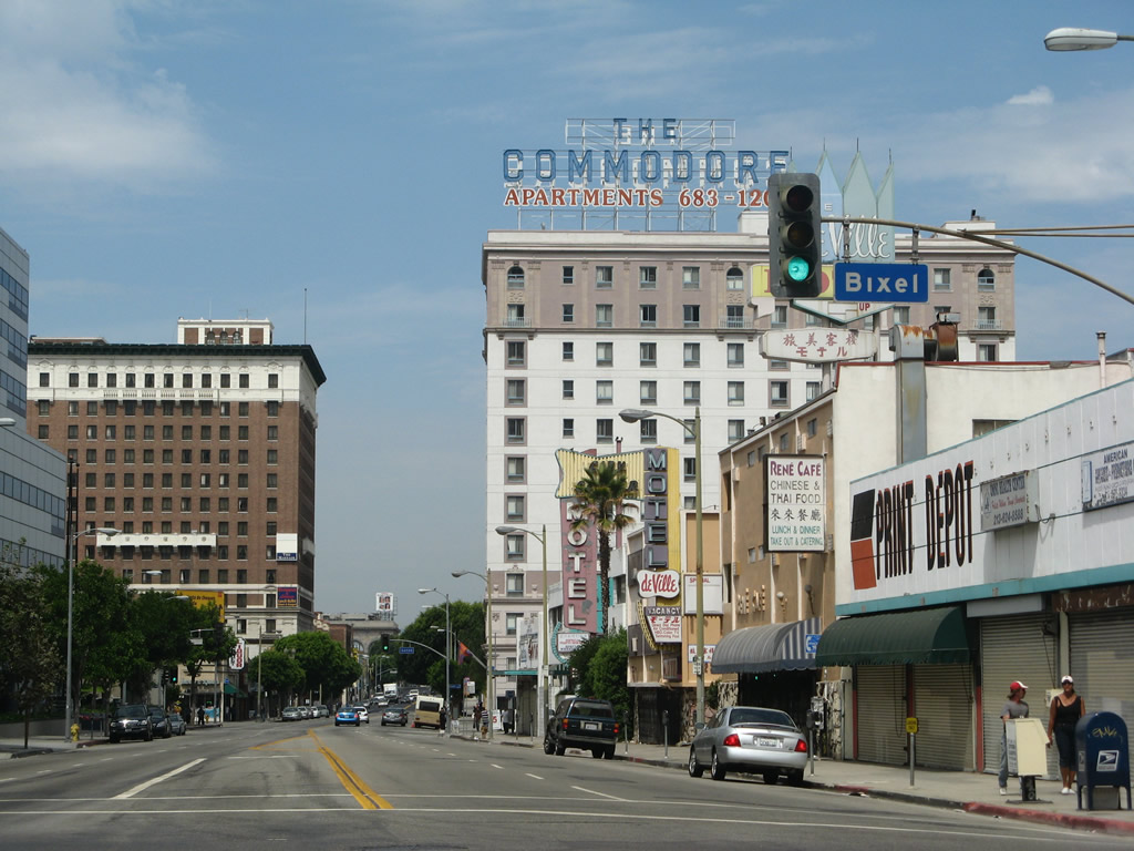
| Seventh Street meets Bixel Street at this signalized intersection. Turn left here for Interstate 110/Harbor Freeway south to Interstate 10/Santa Monica Freeway. 08/26/07 |
|
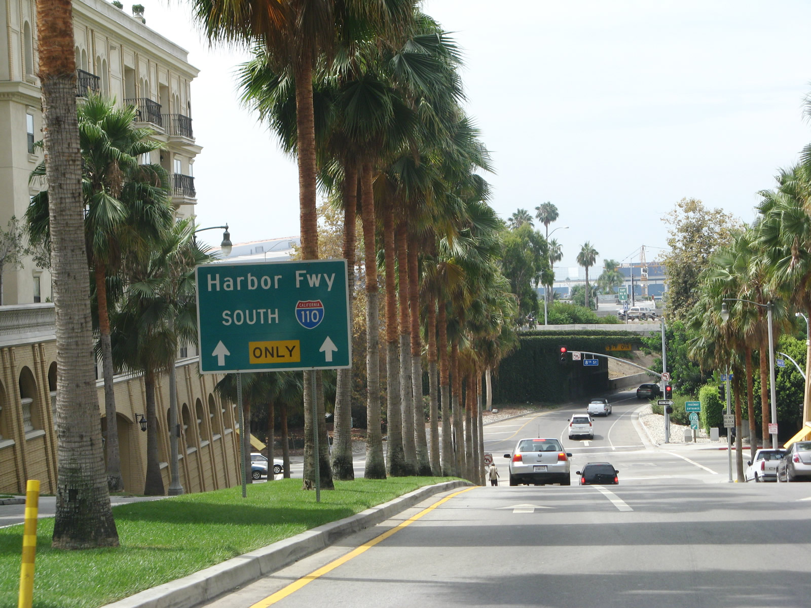
| Bixel Street southbound in Downtown Los Angeles approaches a final traffic signal with Eighth Street before it merges onto Interstate 110 (Harbor Freeway) south. This on-ramp also links to Interstate 10 (Santa Monica Freeway). On the guide sign, note the state name appears where the word Interstate normally appears. Perhaps this was due to the fact that the segment of Harbor Freeway between U.S. 101 and Interstate 10 is technically a state route. 08/26/07 |
|
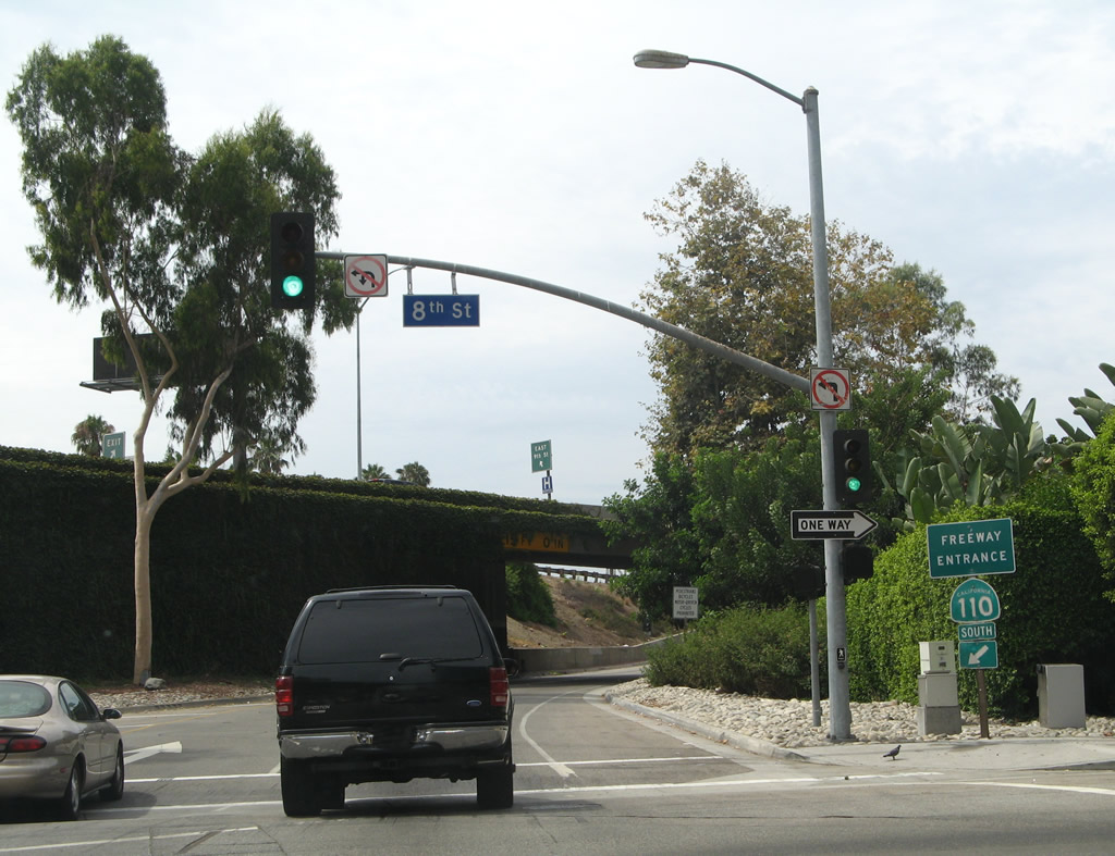
| Southbound Bixel Street meets Eighth Street and the on-ramp for Interstate 110 (Harbor Freeway). 08/26/07 |
|
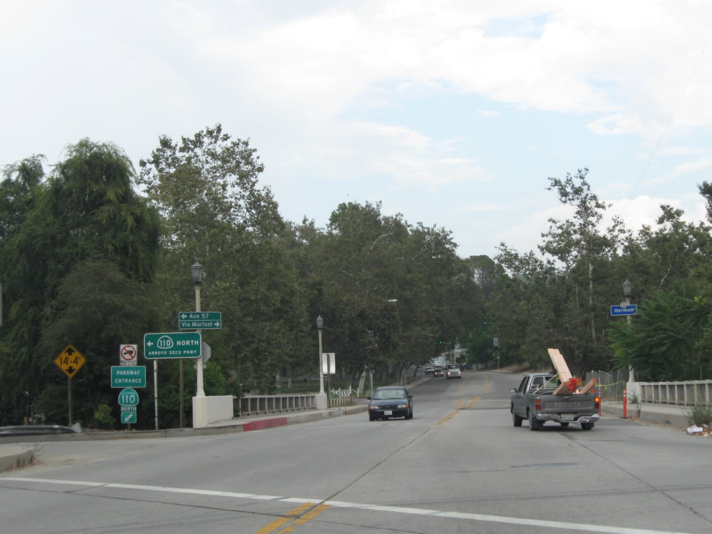
| In the Highland Park community of Los Angeles, eastbound Via Marisol approaches its interchange with SR 110. 07/10/10 |
|
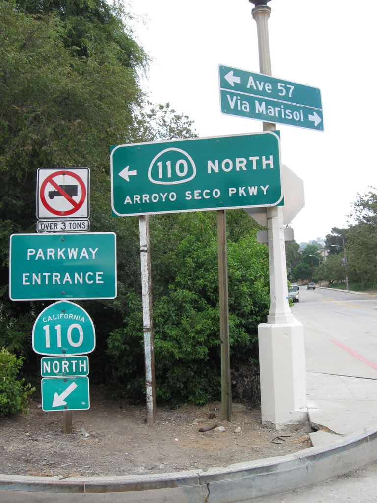
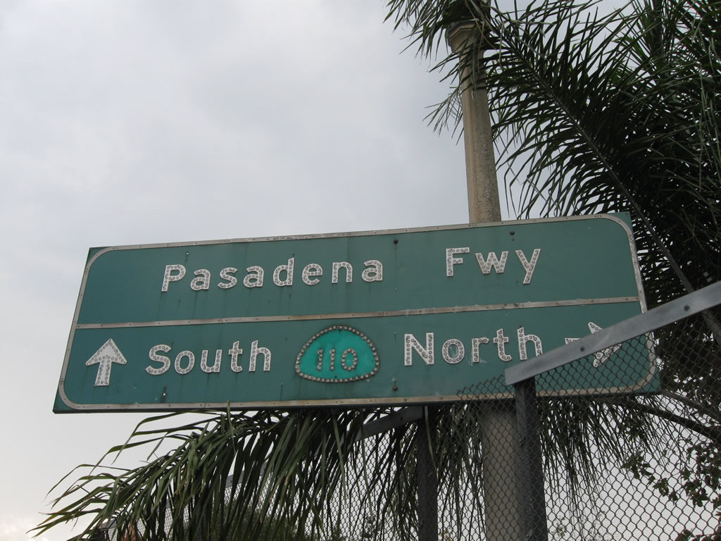
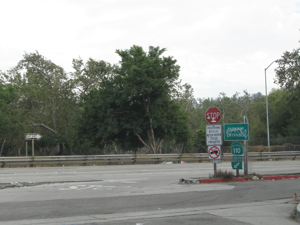
| Parkway Entrance signs take the place of the usual freeway entrance assemblies at the on-ramp to SR 110 (Arroyo Seco Parkway) from Via Marisol east. 07/10/10 |
|
| The same kind of "parkway entrance" sign is posted at the onramp to SR 110 north from westbound Via Marisol, but an older Pasadena Freeway trailblazer (probably from the 1980s) is posted behind it. 07/10/10 |
|
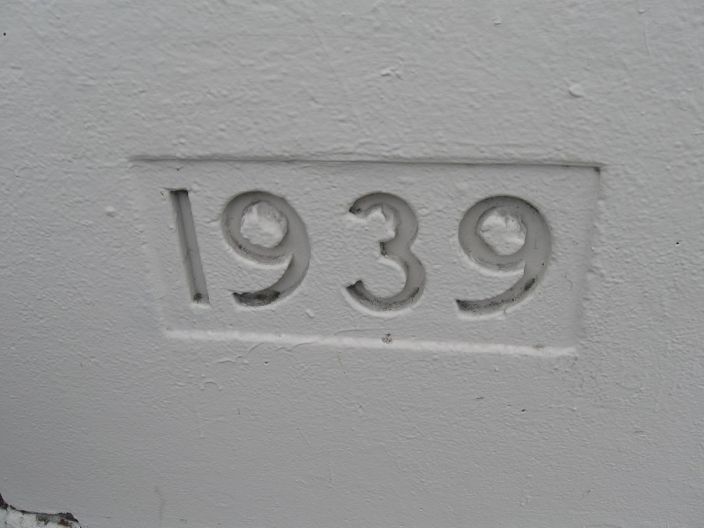
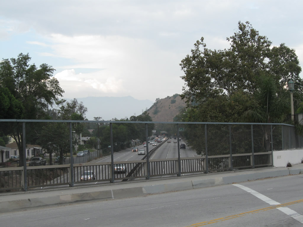
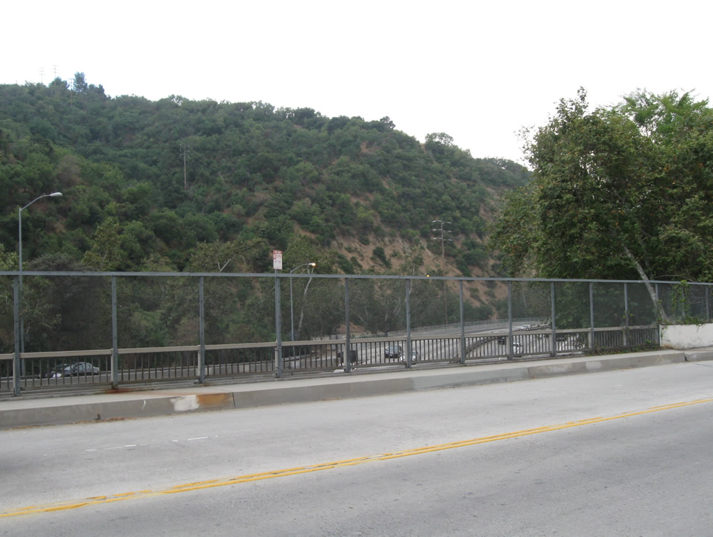
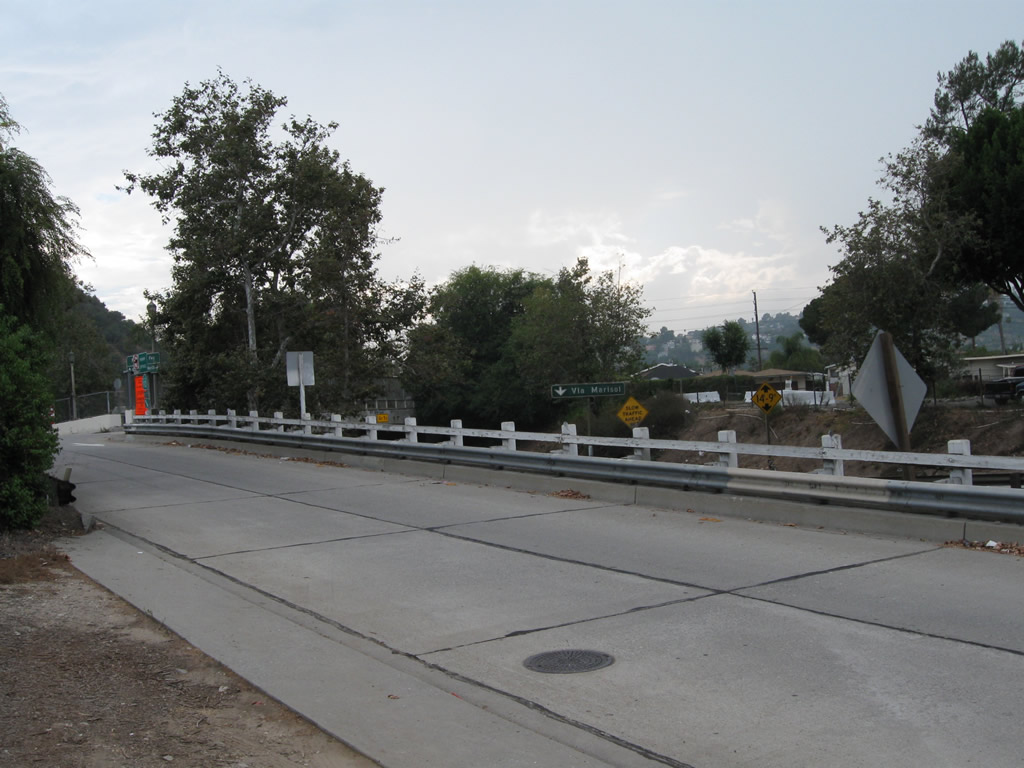
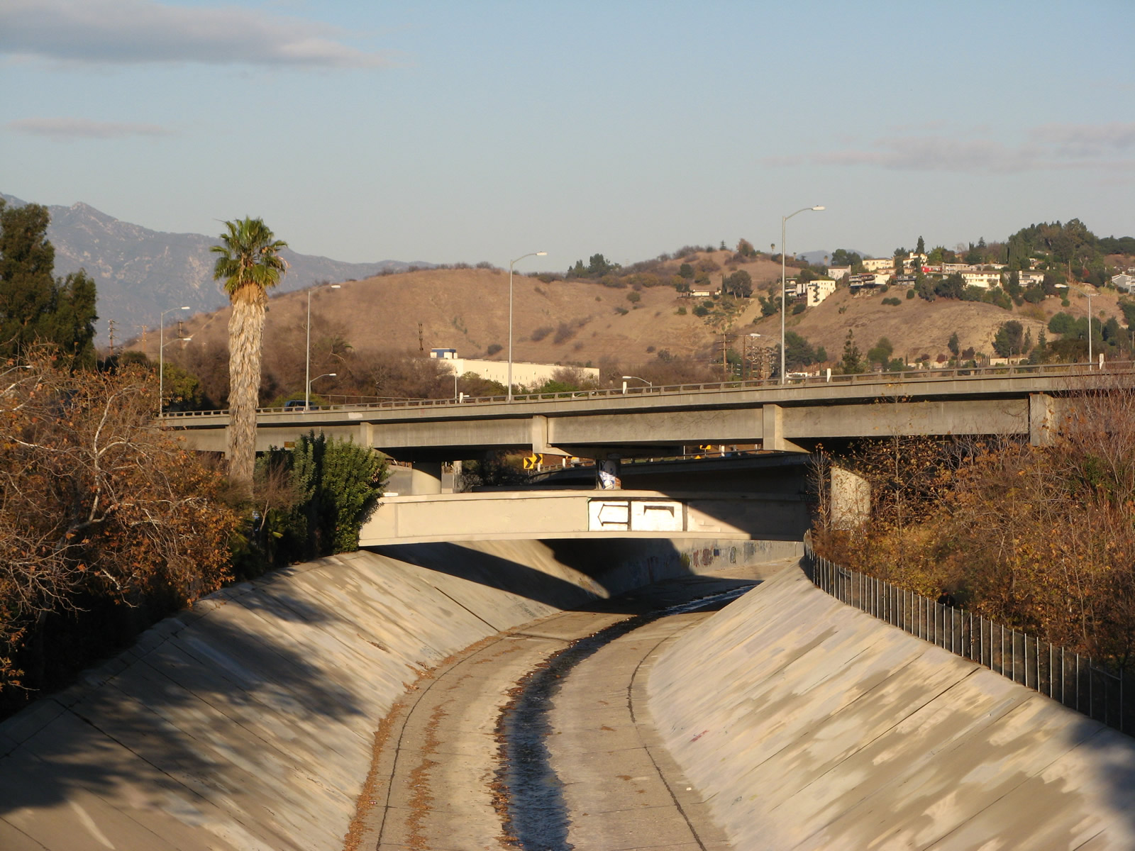
| The Via Marisol overpass was constructed in 1939. A chain link fence obscures the view of the parkway passing below the bridge (view looks north). 07/10/10 |
|
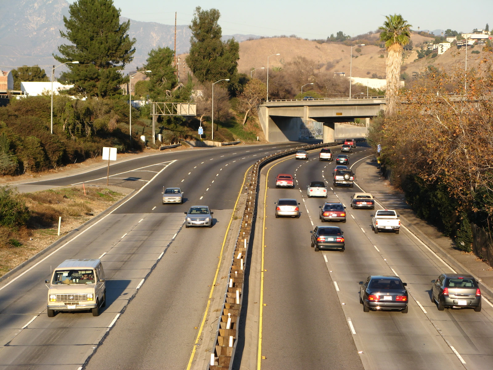
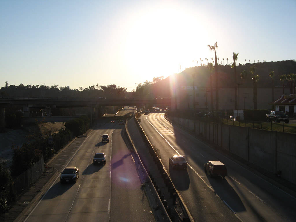
| View look south from the Via Marisol overpass onto the Arroyo Seco Parkway. 07/10/10 |
|
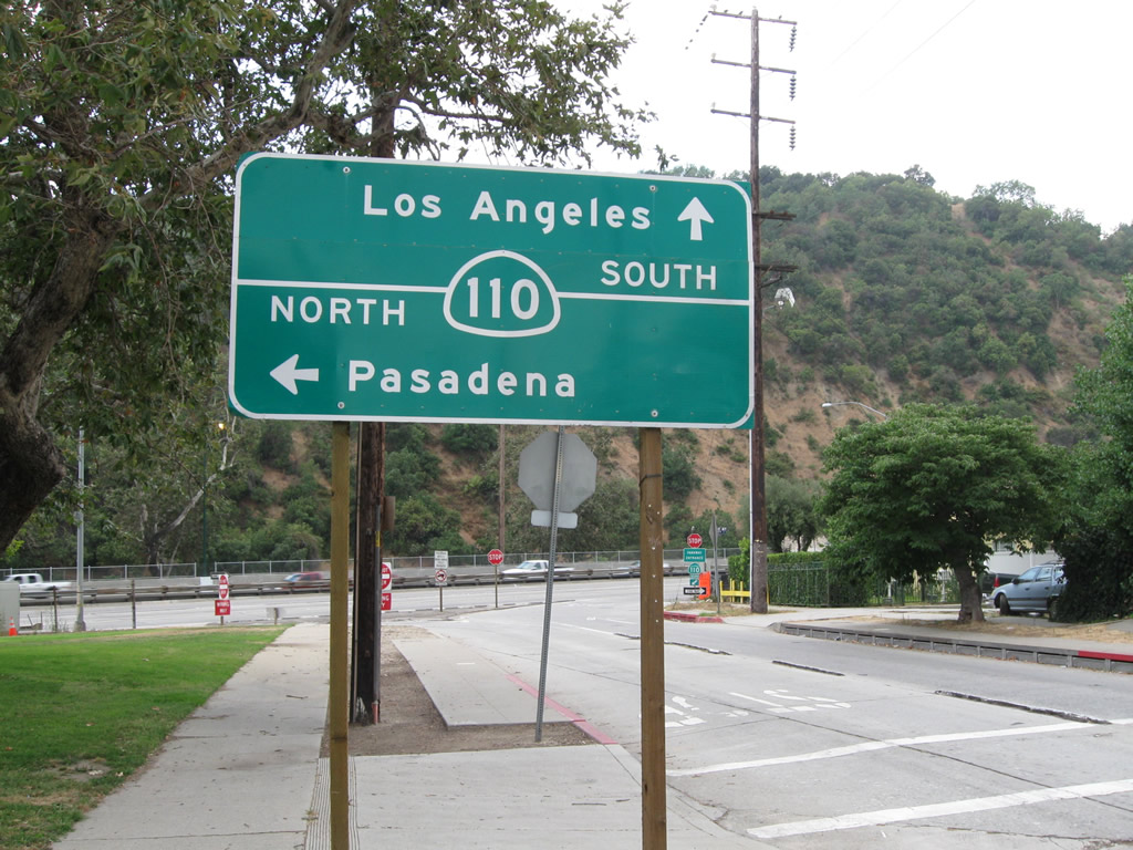
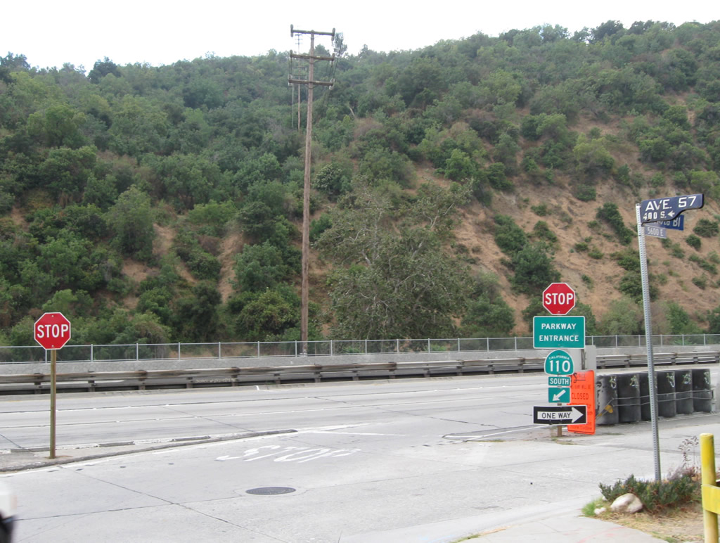
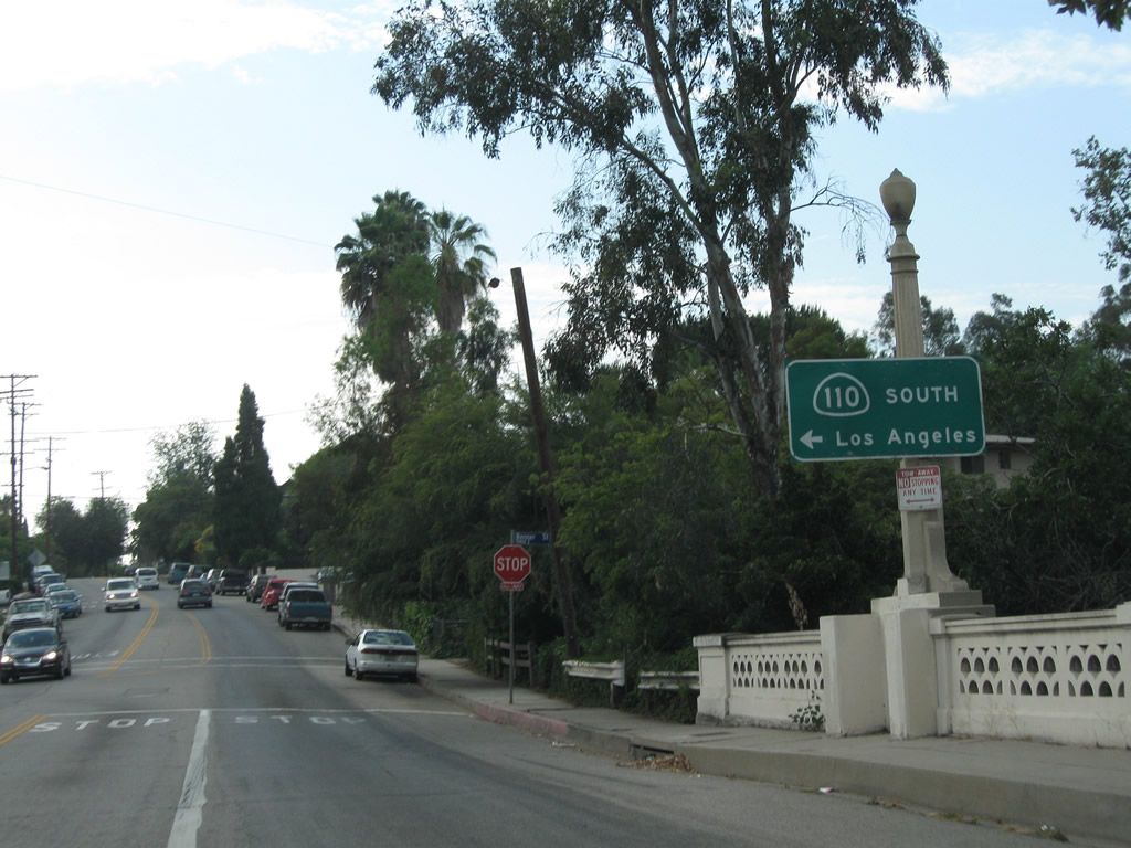
| Avenue 57 south at the intersection with Via Marisol. The street connects with SR 110 (Arroyo Seco Parkway) south directly while the northbound on-ramp is located along Via Marisol east. 07/10/10 |
|
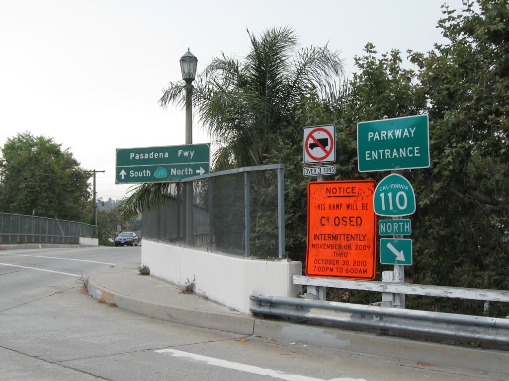
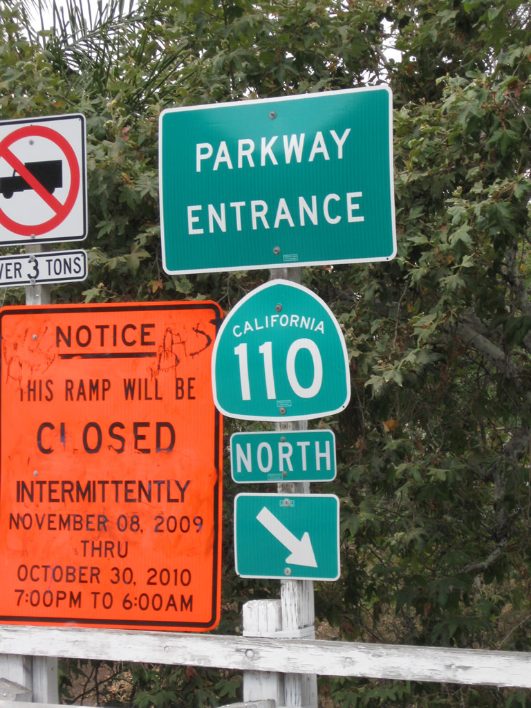
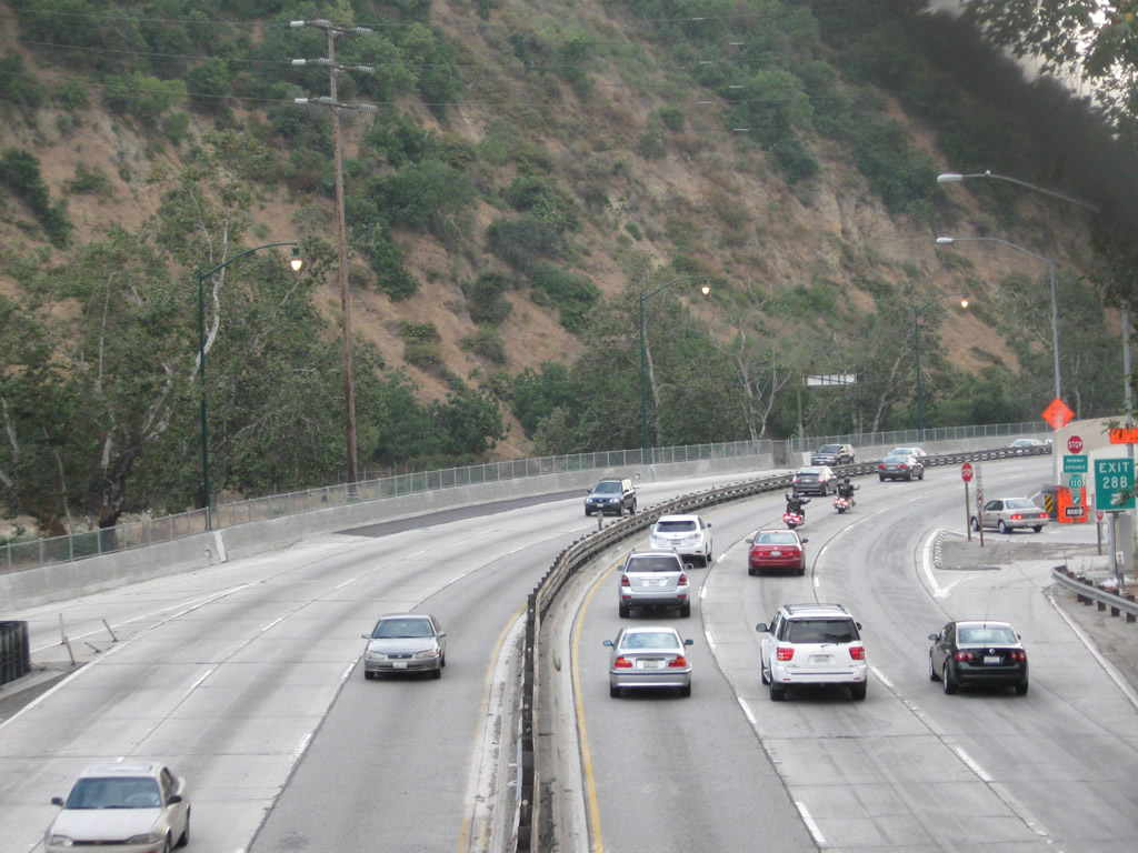
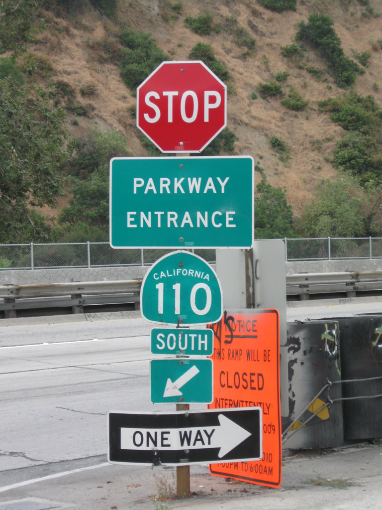
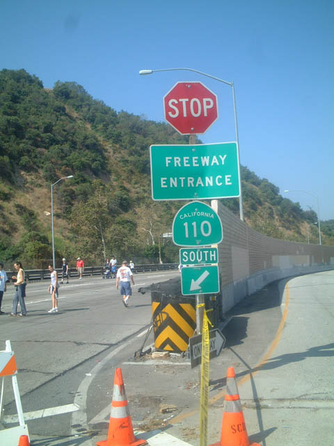
| It is not too often that a "Stop" sign is mounted above a freeway entrance shield assembly, but is what may be found at the on-ramp from Via Marisol onto southbound SR 110 at Exit 28B. Note the change from "Freeway Entrance" to "Parkway Entrance" in 2009. 07/10/10, 06/15/03 |
|
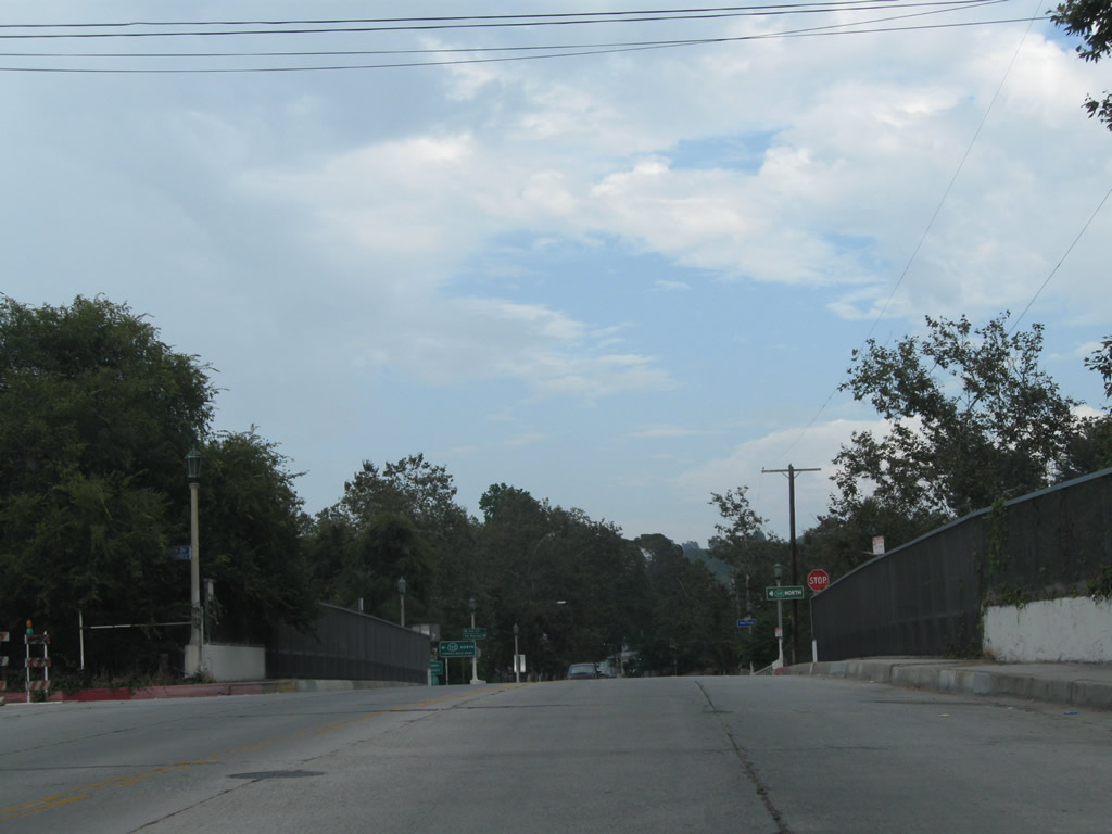
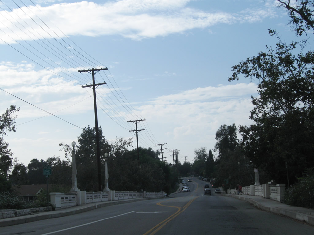
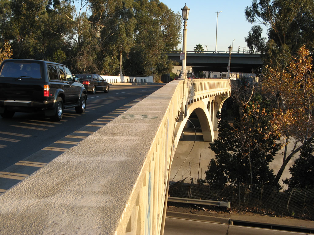
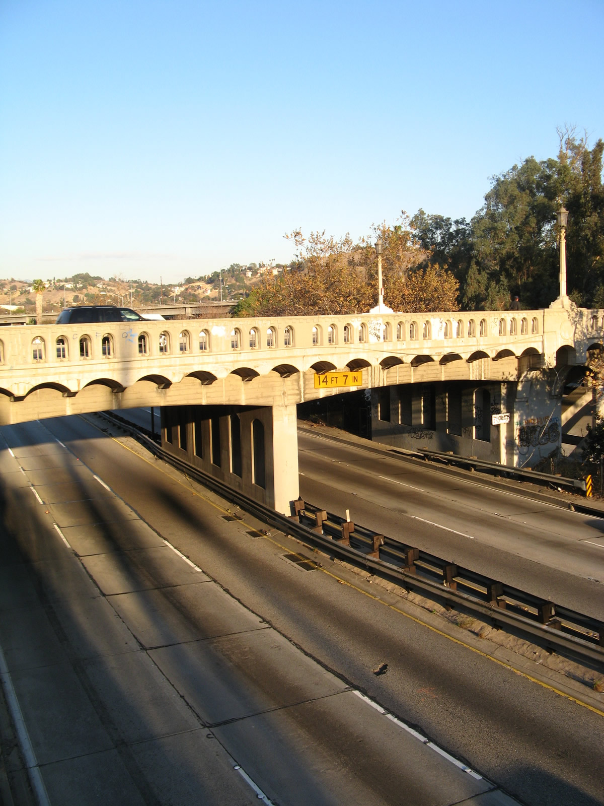
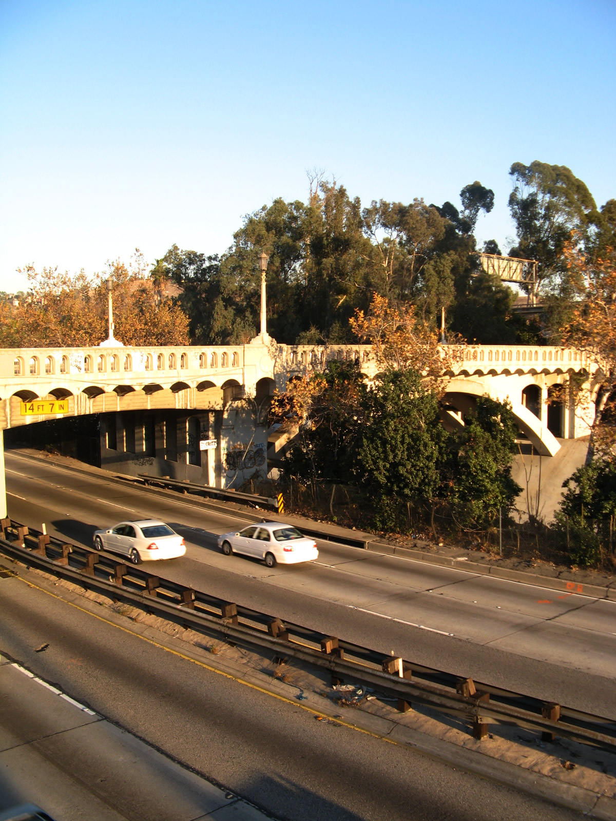
| Most of the Arroyo Seco Parkway lies below grade. In this view, Avenue 60 travels west across the parkway. The ornate bridge railing and decorative street lighting indicate that Avenue 60 will cross over SR 110. 07/10/10 |
|
| Benner Street south connects Avenue 60 west with SR 110 (Arroyo Seco Parkway) southbound. 07/10/10 |
|
| Southbound Shults Street at on-ramp for SR 110 (Arroyo Seco Parkway) south. Freeway entrance signs here were replaced to display parkway in 2009 and 2010. 07/10/10 |
|
| This SR 110 trailblazer was posted along Historic U.S. 66/Colorado Boulevard in Pasadena. 07/21/01 |
|
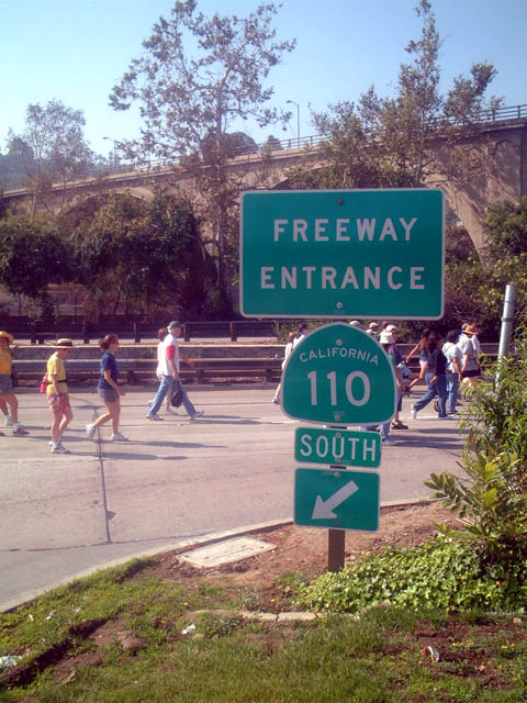
| This freeway entrance shield assembly is taken at the York Boulevard interchange during the 2003 ArroyoFest, which included a one-time closure of SR 110 for pedestrians and bicyclists to enjoy the parkway without car traffic. 06/15/03 |
|
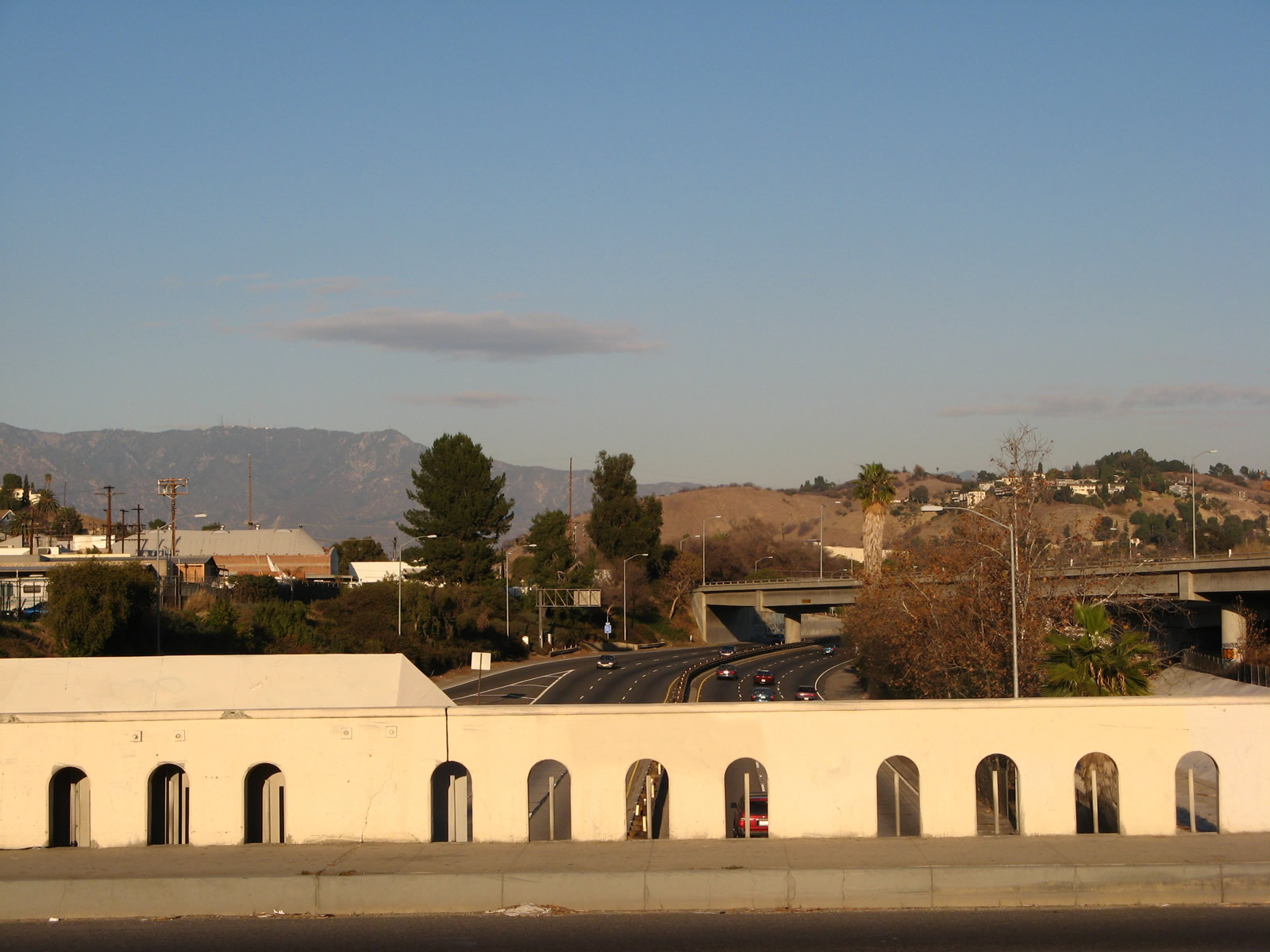
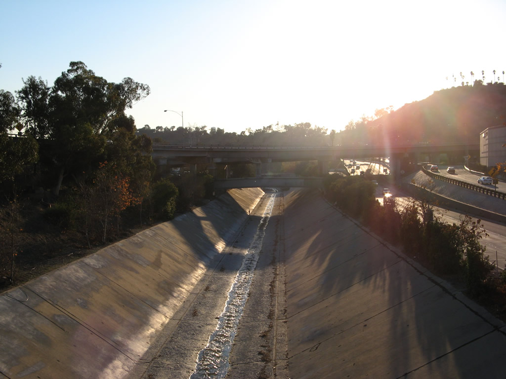
| This picture looks southwest at the Arroyo Seco Parkway at the Via Marisol interchange from Hermon Park. 07/10/10 |
|
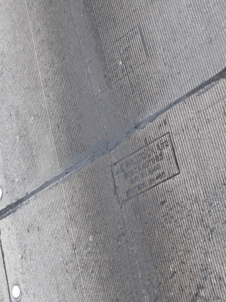
| This date stamp (of May 1, 1940) is embedded in the concrete of the northbound lanes of the Arroyo Seco Parkway after the Via Marisol interchange. 07/10/10 |
|
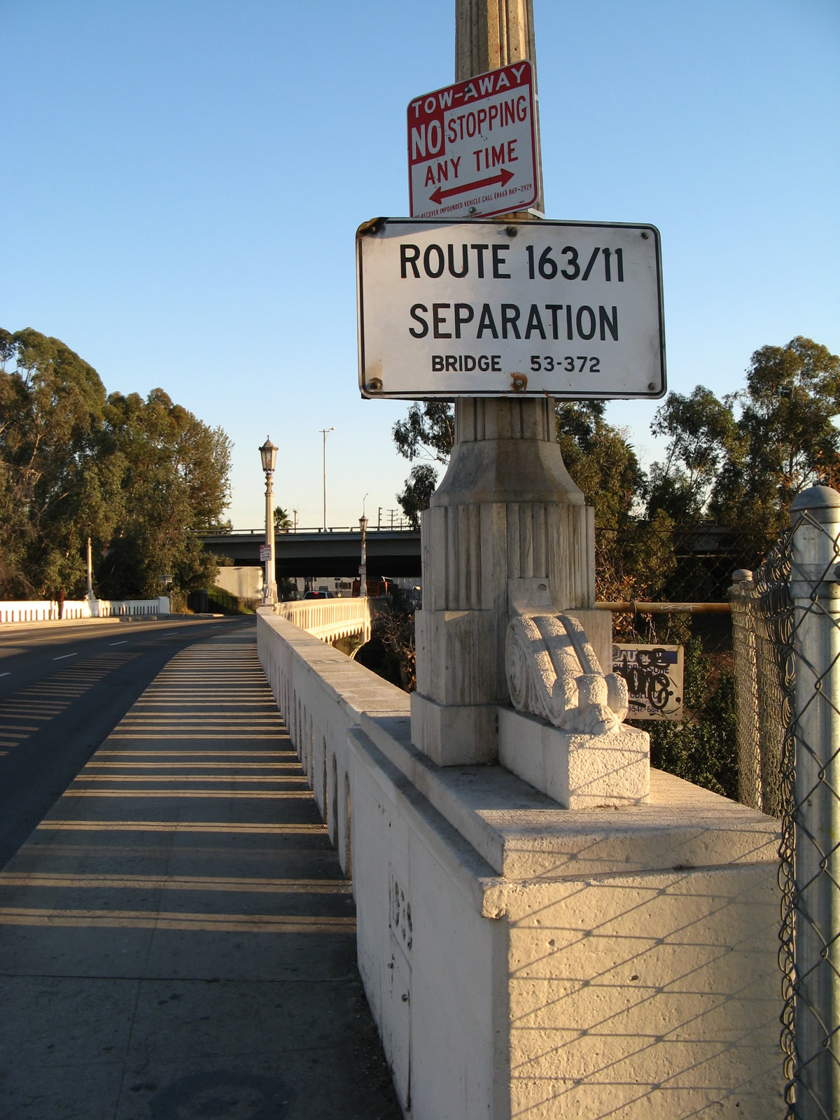
| Near the confluence of Arroyo Seco Parkway and the Golden State Freeway, Avenue 26 passes over SR 110 and under the ramp linking I-5 with SR 110. The Avenue 26 and Arroyo Seco Parkway grade separation is notable for a pair of signs indicating the former designations for each road. Avenue 26 was briefly known as SR 163 (from 1963 to 1965), and Arroyo Seco Parkway was originally SR 11. 01/14/07 |
|
| The extent of former SR 163 appears to include Avenue 26 between SR 110 to the north and Lacy Street to the south, including the ramps with Interstate 5. Per the California Highways - State Route 163 page, this instance of SR 163 was legislatively defined as "Near Lacy Street and Avenue 26 to Route 5 in Los Angeles." 01/14/07 |
|
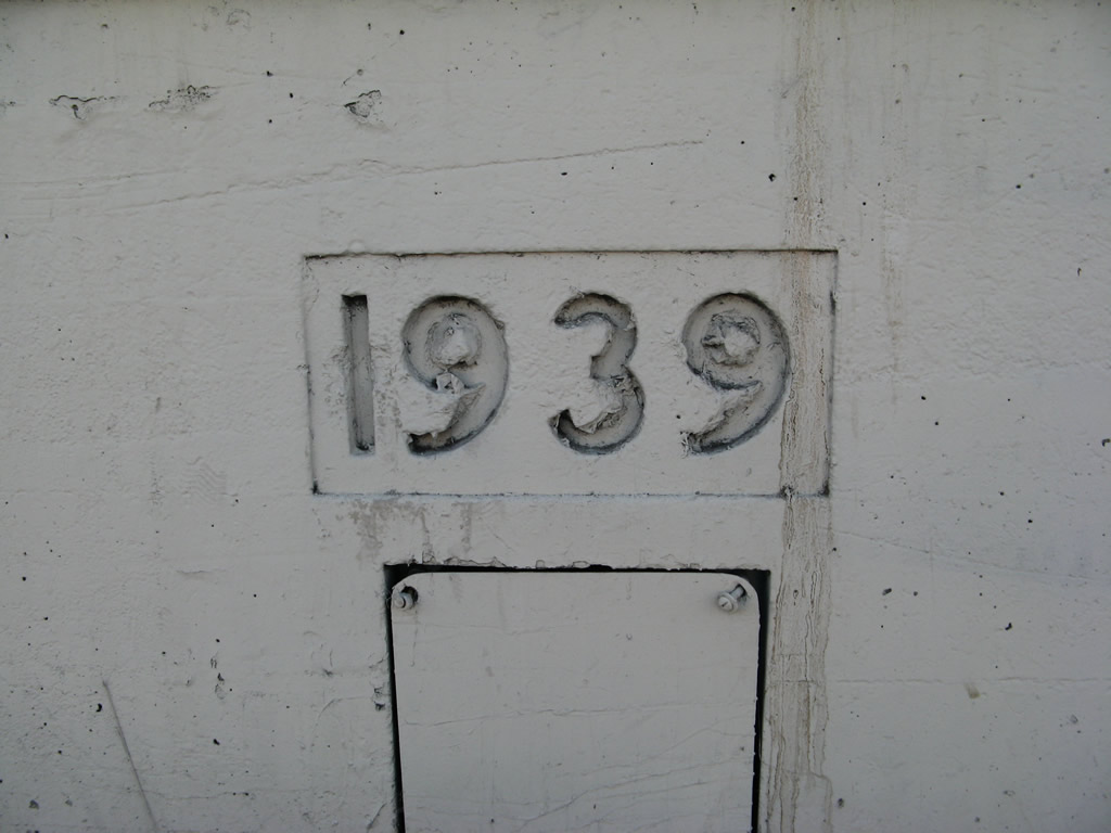
| A 1939 date stamp is imprinted into the bridge railing next to the Route 163/11 Separation bridge sign. The 1939 date applies to the bridge that carries Avenue 26 over SR 110; the arch bridge over Arroyo Seco was built in 1925. 01/14/07 |
|
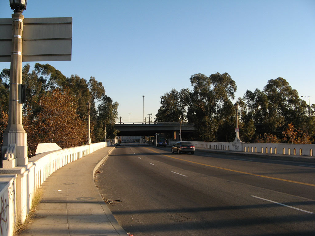
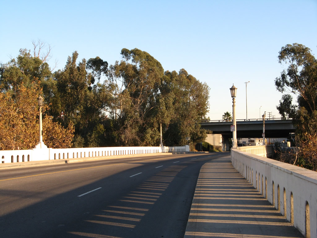
| Southbound Avenue 26 proceeds across SR 110 (Arroyo Seco Parkway) and then over the Arroyo Seco arch bridge. The arch span was designed and built between 1922 and 1926. 01/14/07 |
|
| This view looks at the Avenue 26 overpass as seen from northbound Arroyo Seco Parkway. The overpass was built in 1939 as part of freeway construction, while the adjacent Arroyo Seco bridge fully opened to traffic in 1926. 01/14/07 |
|
| Northward view of the Arroyo Seco Parkway from the Avenue 26 (former SR 163) overpass. 01/14/07 |
|
| Unique bridge railing lines Avenue 26 as seen in this view looking northeast along SR 110. 01/14/07 |
|
| The Arroyo Seco closely parallels SR 110, carrying water through its concrete channel. An open-spandrel concrete arch bridge carries Avenue 26 over the creek, while the bridge over adjacent SR 110 is not an arch. 01/14/07 |
|
| Portions of the interchange joining SR 110 (Arroyo Seco Parkway) and I-5 (Golden State Freeway) by Elysian Park viewed from the Avenue 26 overpass to the northeast. 01/14/07 |
|
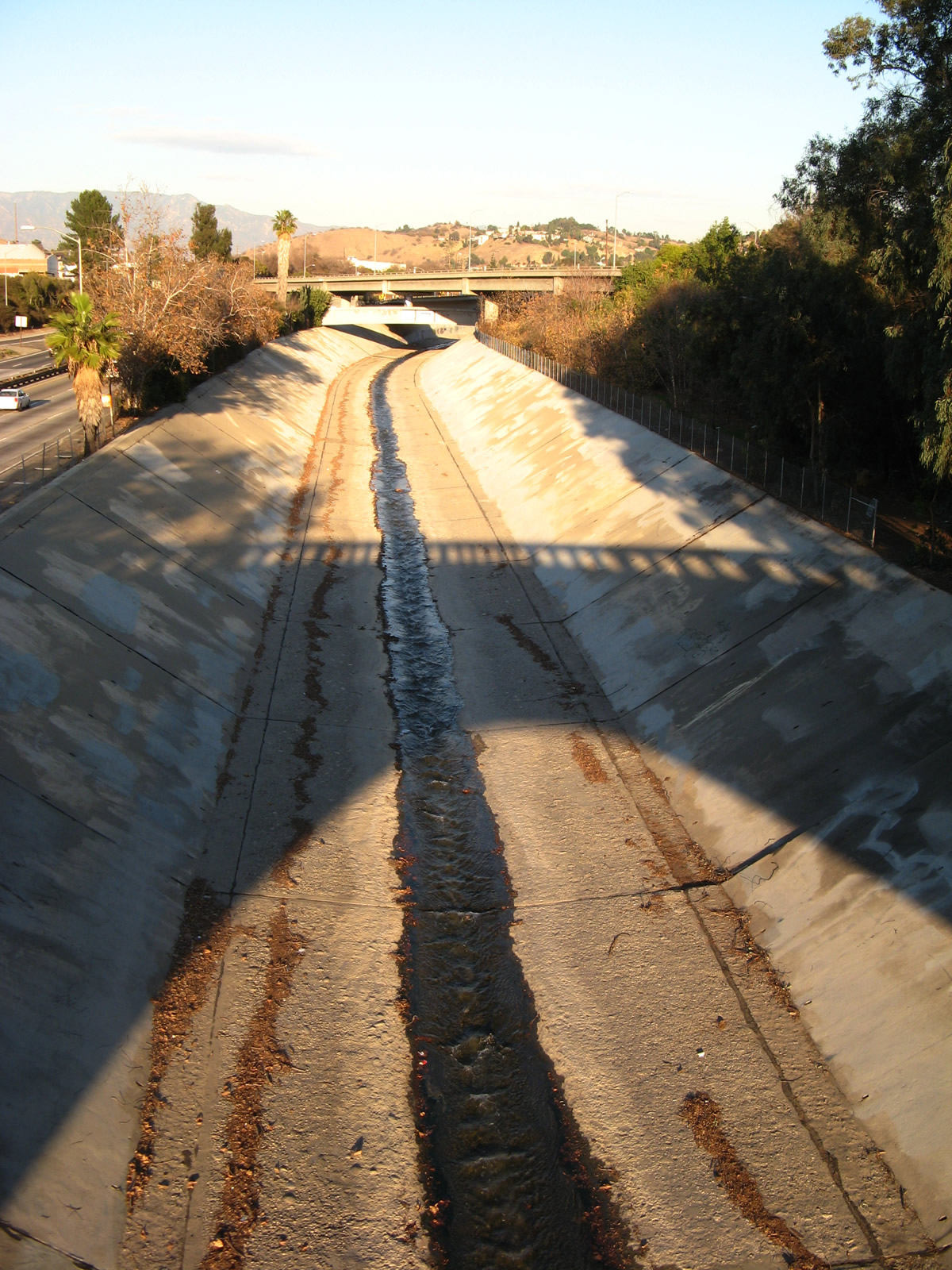
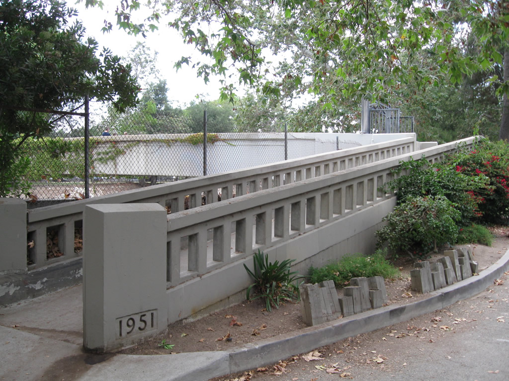
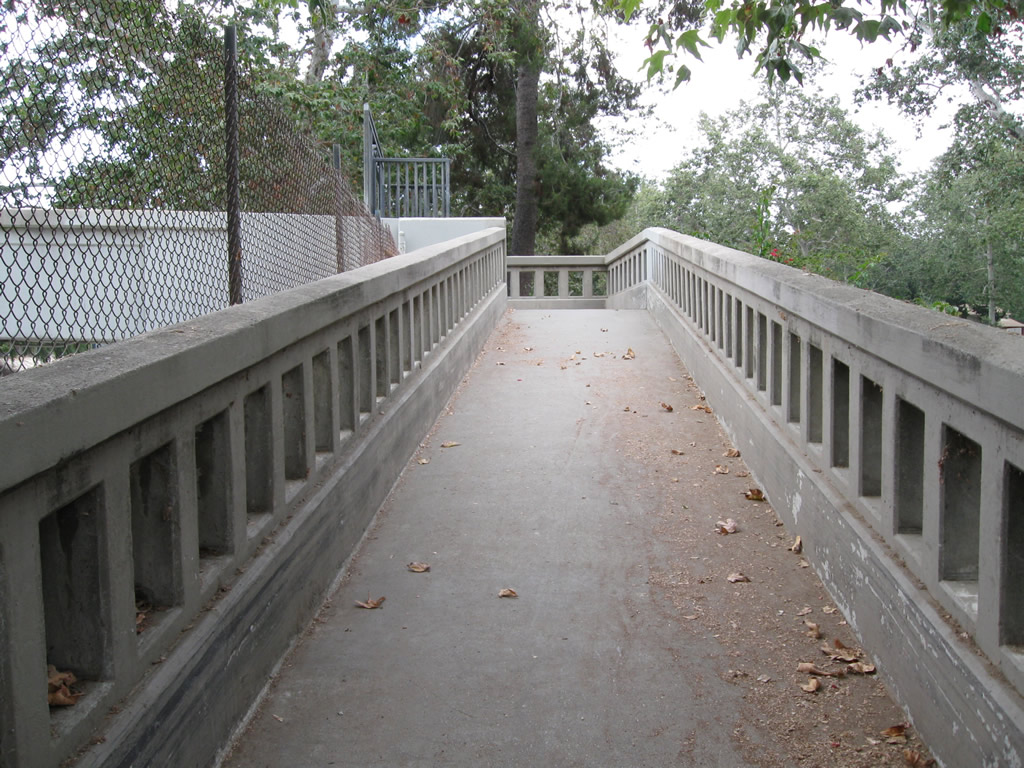
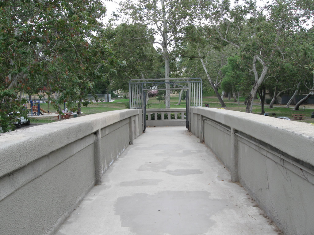
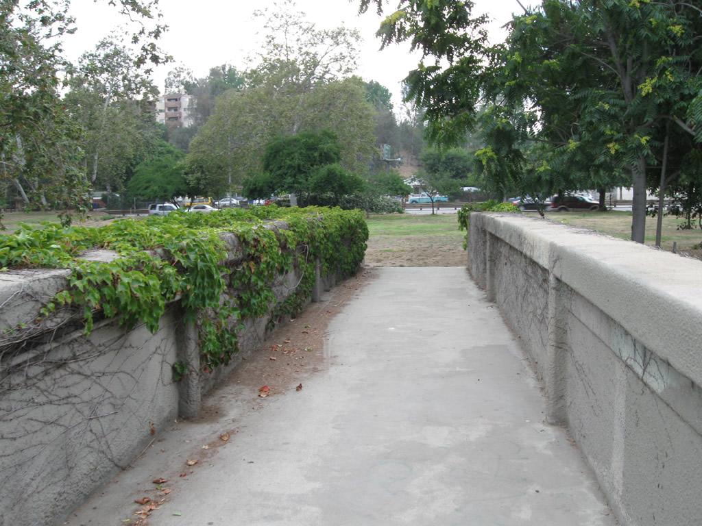
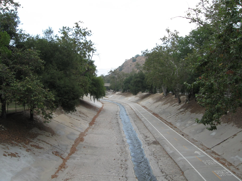
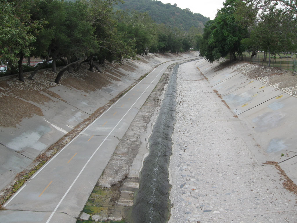
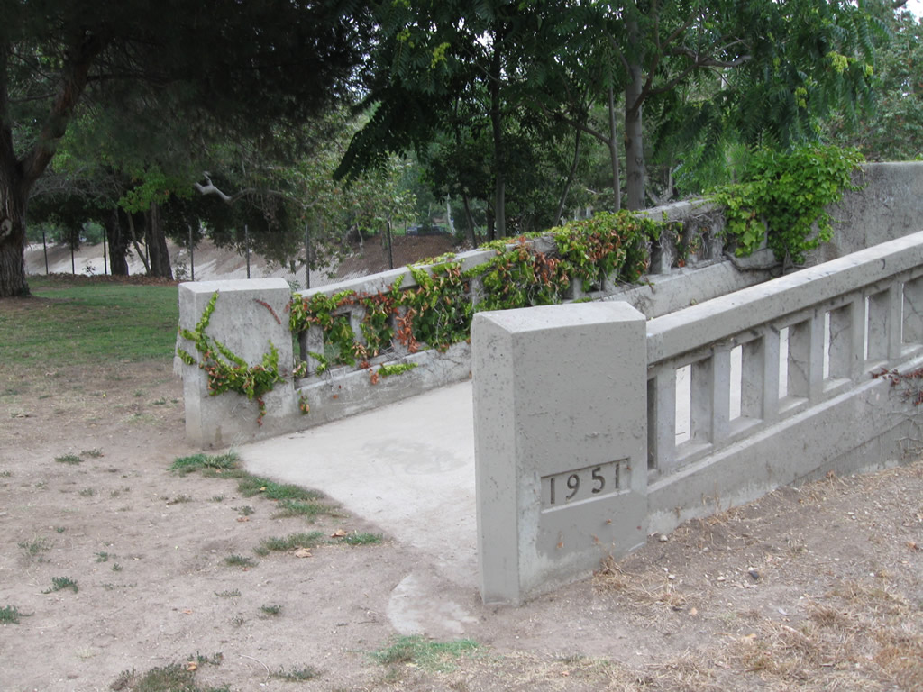
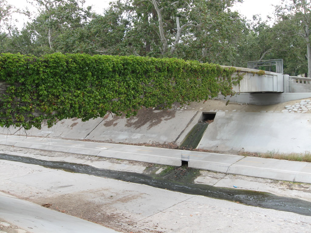
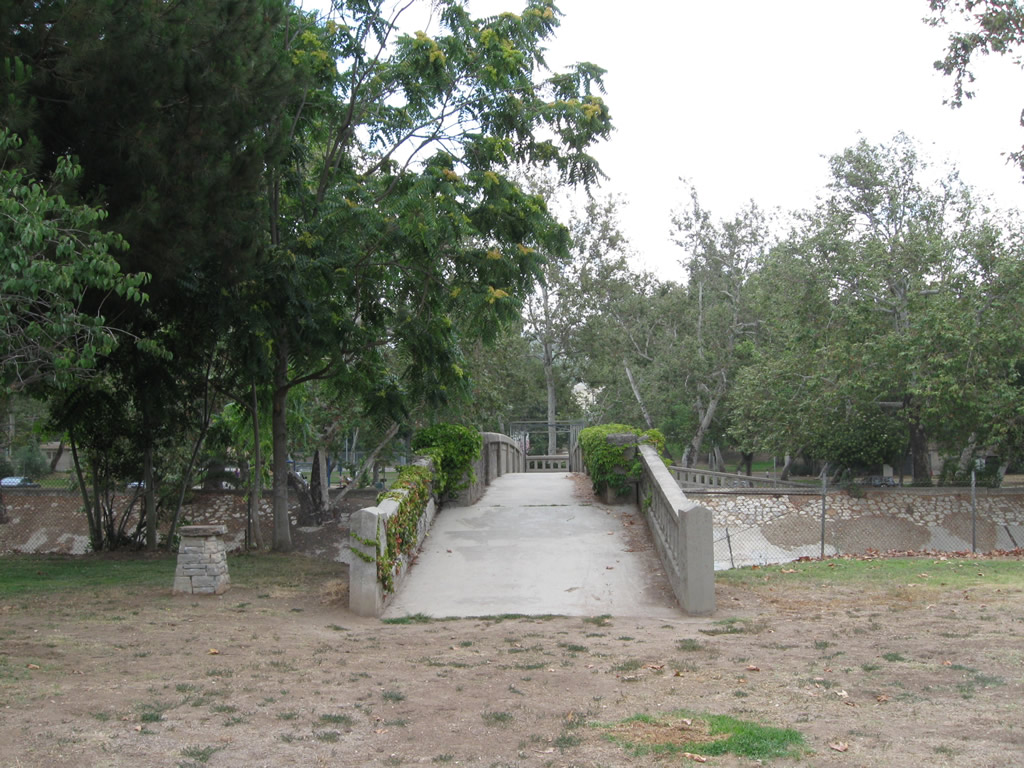
| A pedestrian bridge built in 1951 crosses over the Arroyo Seco in Hermon Park. Views from the bridge show the concrete-lined channel of the Arroyo Seco. The park is located off the Via Marisol exit from SR 110. 07/10/10 |
|
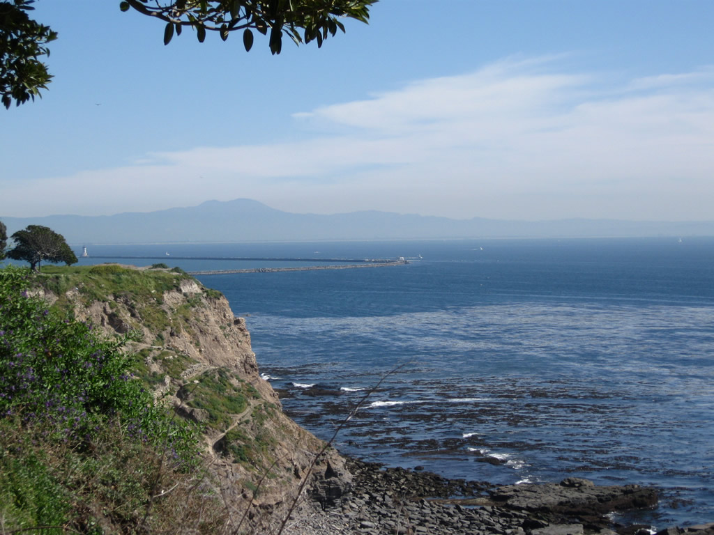
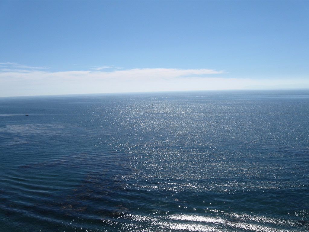
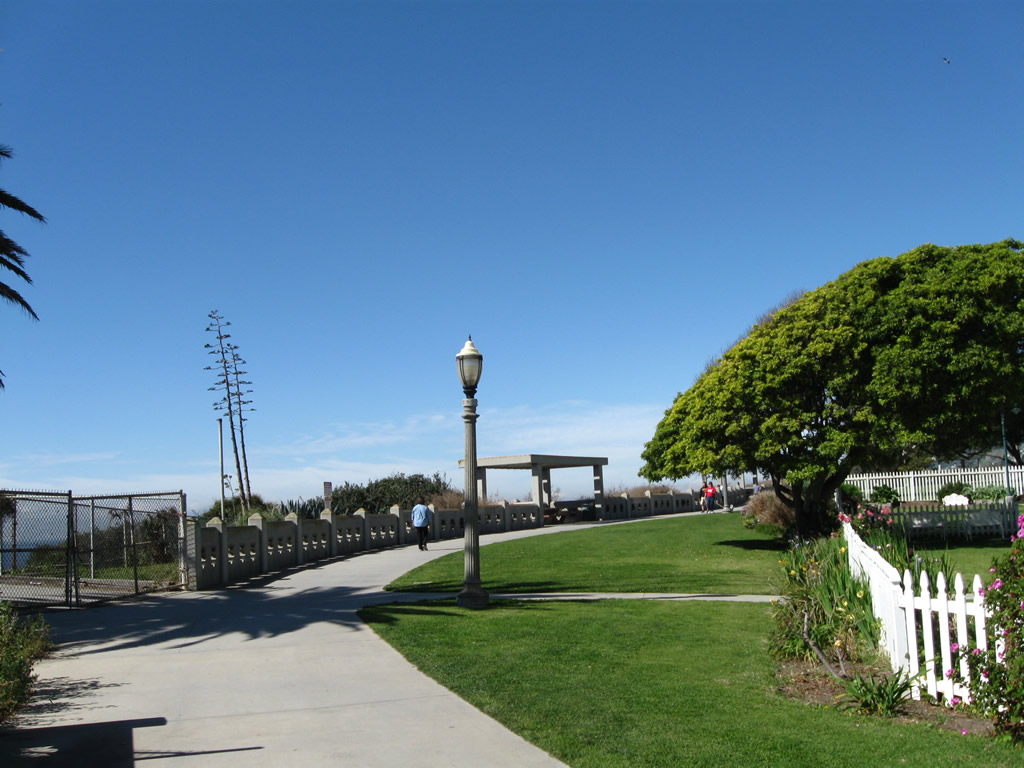
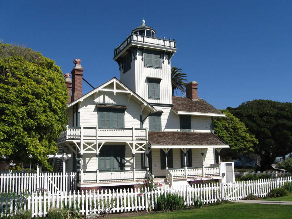
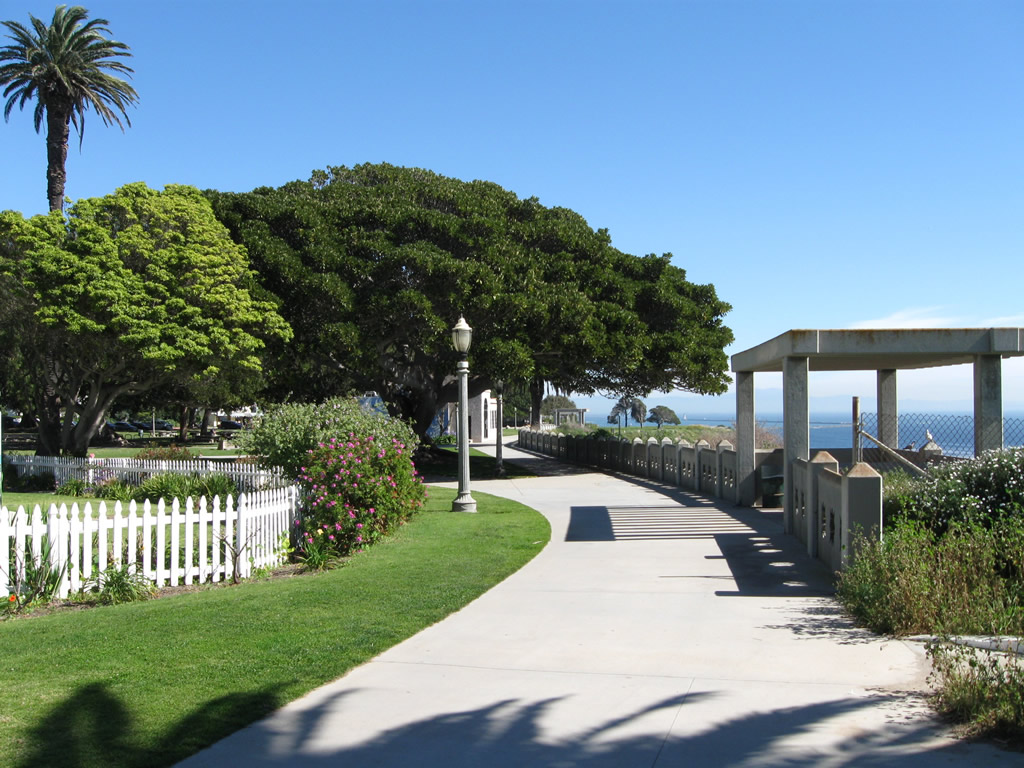
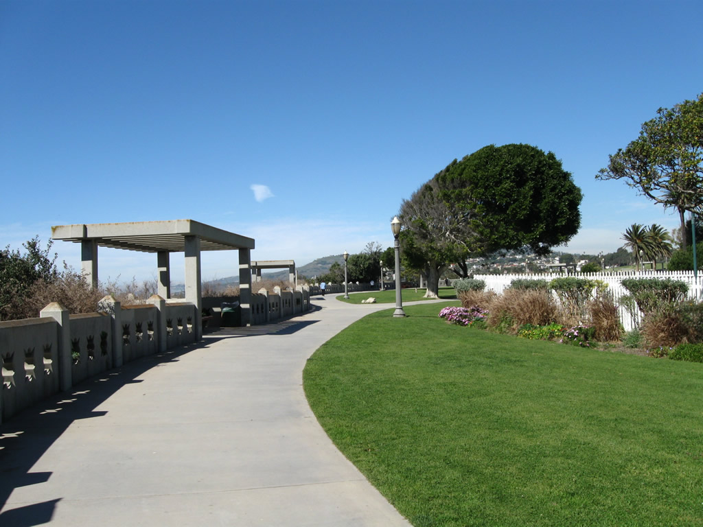
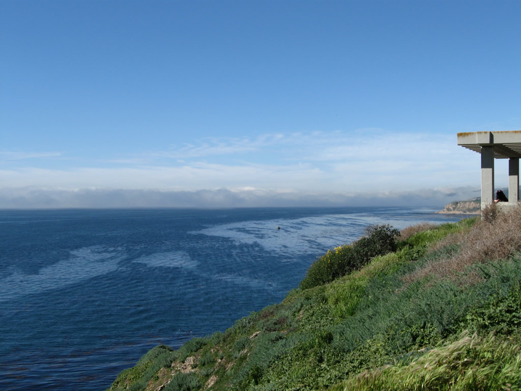
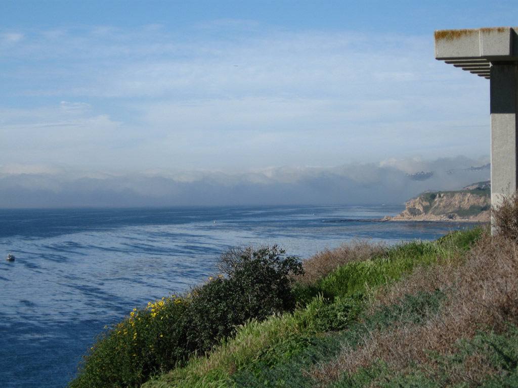
| While SR 110 never extended south of Ninth Street in San Pedro, Gaffey Street continues south all the way to the shoreline at Point Fermin. A lighthouse and coastal bluff walkway is located at a small park at the south end of Gaffey Street. Visitors can see south toward the Pacific Ocean, east toward Angels Gate and downtown Long Beach, and west toward Rancho Palos Verdes. 02/13/11 |
|
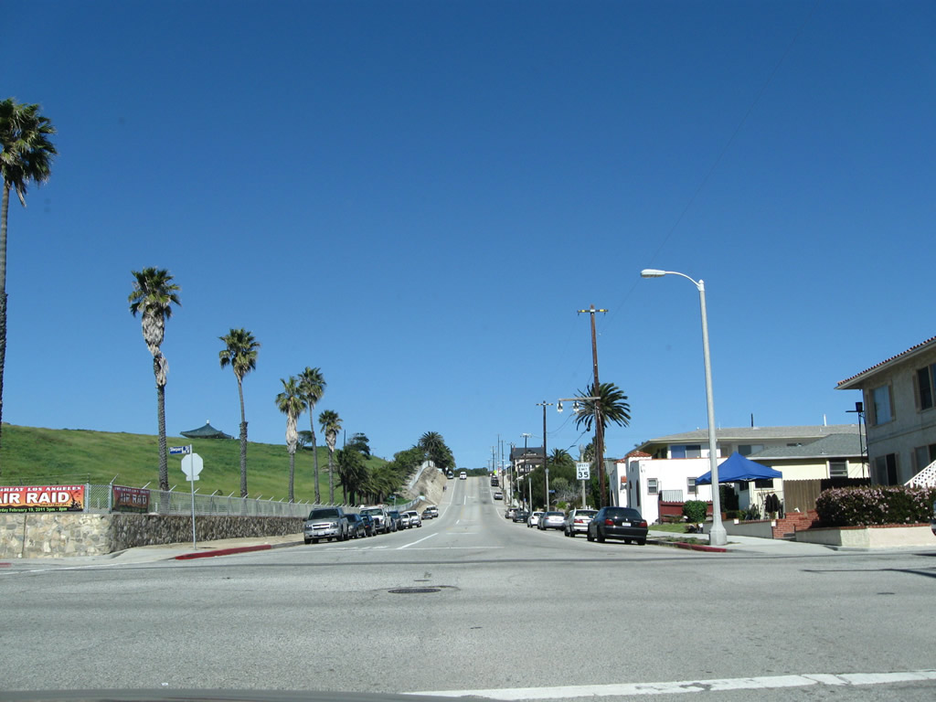
| The northbound beginning of Gaffey Street toward San Pedro. 02/13/11 |
|
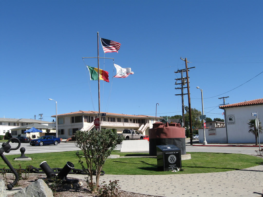
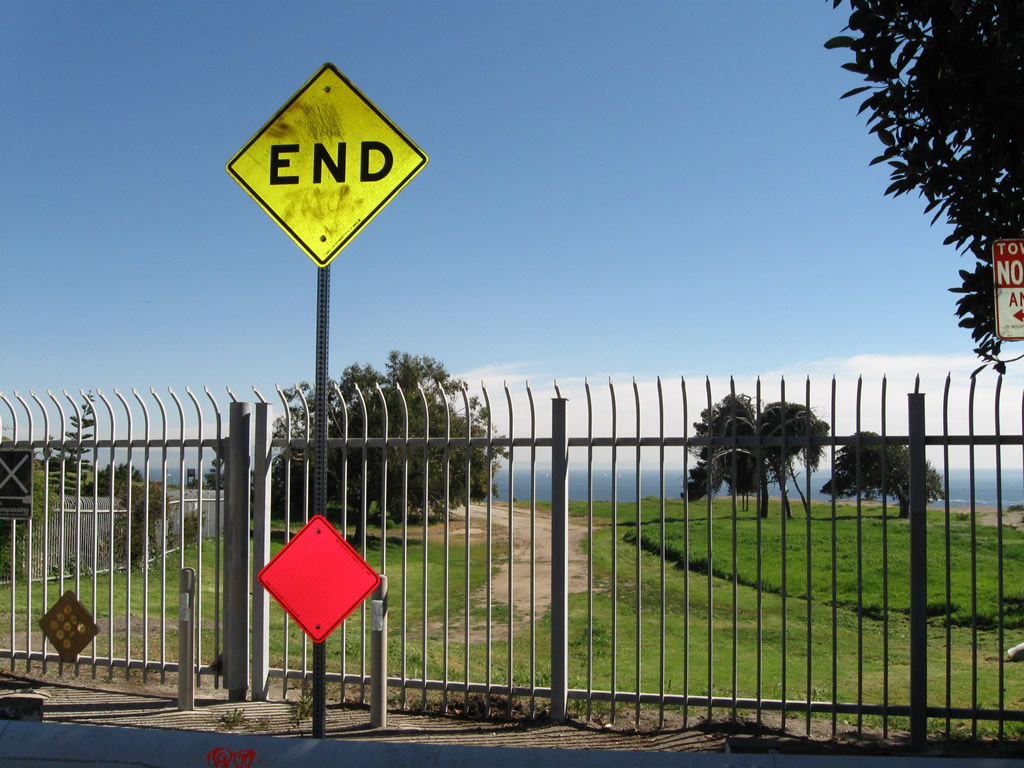
| The bluff at Point Fermin has been in motion; a failure caused a portion of Paseo del Mar to collapse and resulted in that section of road to close. The former roadway is visible behind an end sign and iron fence. 02/13/11 |
Photo Credits:07/21/01, 06/15/03, 01/14/07, 08/26/07, 08/26/08, 07/10/10, 02/13/11, 05/05/12 by AARoads
Connect with:
Interstate 5
Interstate 105
Interstate 405
Page Updated 05-06-2012.


 scenes