
Interstate 580 overall connects U.S. 101 (Redwood Highway) in San Rafael with I-5 south of Tracy. The northern leg of the route crosses San Francisco Bay from San Quentin to Richmond on the tolled Richmond-San Rafael Bridge. A 3.7 mile overlap takes the route south alongside I-80 from Albany to Oakland, with the cardinal directions for the respective routes opposite from one another. Interstate 580 turns east onto the MacArthur Freeway from I-80 at the Bay Bridge on the Oakland side southeast to Hayward, then east through Pleasanton, Dublin toward Tracy and Modesto.
Interstate 580 California Guides
The I-580 designation was extended northwest to San Rafael via the Richmond San Rafael Bridge in 1983 when Caltrans asked FHWA and AASHTO to add new routes to the Interstate system in the Bay Area. The Richmond San Rafael Bridge spanning northern reaches of San Francisco Bay was previously California 17, and initially proposed as Interstate 180. The I-580 request was coupled with separate applications to designate California 17 from San Jose to Oakland as Interstate 880 and change the freeway portion of California 238 near Hayward to Interstate 238. These requests are approved, resulting in FAP routes 238, 580, and 880.
State Assembly Bill 2741 in 1984 made the changes to 17 and 580 in the state highway system. The following year, the resignage of the routes affected by AB 2741, including I-238 and I-880, was completed. The 580 extension was likely signed as Temporary Interstate 580 on the non-freeway segment, which dated back to the 1950s. In 1990, the freeway section of Interstate 580 was completed through Richmond and classified as FAI 580. The older freeway section remains FAP 580.
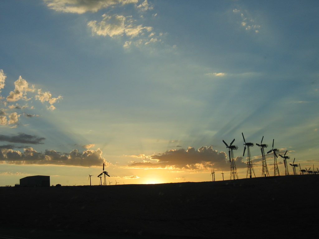
The section of I-580 between Oakland and Tracy generally follows old U.S. 50 (Lincoln Highway). Originally incorporated as part of Interstate 5W in 1964, I-580 is a fast route from northbound Interstate 5 in the Central Valley to the San Francisco Bay Area. It is also a heavily used commuter route, with several sections featuring eight or more lanes, including the section passing through the thinly populated Altamont Pass.
The following list provides the opening dates for the Interstate 580 freeway, courtesy of C.J. Moon:
- Interstate 5 to Interstate 205 - November 1, 1967
- Interstate 205 to Midway Undercrossing - February 28, 1967
- Midway Undercrossing to Vasco Road - December 17, 1969
- Vasco Road to El Charro Road - Circa 1954 (widened November 1, 1972)
- El Charro Road to Rancho Drain - Circa 1954 (widened April 23, 1971)
- Rancho Drain to Tassajara Creek - Circa 1954 (widened December 1, 1991)
- Tassajara Creek to Chabot Canal - Circa 1954 (widened April 23, 1971)
- Chabot Canal to Hopyard-Dougherty Road - Circa 1954 (widened June 25, 1969)
- Hopyard-Dougherty Road to Alamo Canal - Circa 1952 (widened December 21, 1965)
- Alamo Canal to Interstate 680 - Circa 1952 (widened March, 20, 2003)
- Interstate 680 to San Ramon Road - Circa 1952 (widened December 22d, 1977)
- San Ramon Road to Schaefer Ranch Road - December 22, 1977 (widened April 1, 1983)
- Schaefer Ranch Road to Crow Canyon Road - Circa 1957 (widened April 14, 1987)
- Crow Canyon Road to Lake Chabot Pedestrian Overcrossing - April 15th, 1988 (widened March 19, 1990)
- Lake Chabot Pedestrian Overcrossing to Strobridge Undercrossing - Circa 1957 (widened March 19, 1990)
- Strobridge Undercrossing to California 238 - March 19, 1990
- California 238 to Benedict Drive Connector - May 20, 1966
- Benedict Drive Connector to MacArthur Boulevard - July 6, 1964
- MacArthur Boulevard to MacArthur Boulevard (near California 13) - October 14, 1965
- MacArthur Boulevard (near California 13) to 13th Avenue - April 28, 1964
- 13th Avenue to Grand Avenue - Circa 1962
- Grand Avenue to Adeline Street - Circa 1961
- Adeline Street to Interstate 80-880 - Circa 1961 (widened April 30, 1993)
- Interstate 80-880 to Temescal Creek - Circa 1936 (widened Circa 1955)
- Temescal Creek to California 13 - Circa 1954 (widened July 27, 1967)
- California 13 to Gilman Street - Circa 1939 (widened Circa 1956)
- Gilman Street to Interstate 80-580 North Split - Circa 1955
- Interstate 80-580 North Split to Cerritos Creek - Circa 1960 (widen October 8, 1972)
- Cerritos Creek to Stege Drain - Circa 1953 (widen May 20, 1992)
- Stege Drain to Bayview Avenue - Circa 1953 (April 8, 1987)
- Bayview Avenue to Meeker Avenue - Circa 1953 (May 4, 1989)
- Meeker Avenue to S 23rd Street - May 4, 1989
- S 23rd Street to Marina Way - October 18, 1989
- Marina Way to Harbour Way - October 18, 1989 (widened April 4, 1990)
- Harbour Way to Cutting Boulevard - April 4, 1990
- Cutting Boulevard to Canal Boulevard - April 4, 1990 (widened December 14, 1990)
- Canal Boulevard to Marine Street - December 14th, 1990
- Marine Street to Scofield Avenue - Circa 1956 (widened June 21, 1988)
- Scofield Avenue to Western Drive - Circa 1956
- Western Drive to Beg Steel Med Bar - October 21, 1965 (widened July 1, 1980)
- Beg Steel Med Bar to Sir Francis Drake Boulevard - Circa 1957
- Sir Francis Drake Boulevard to U.S. 101 - Circa 1959
 scenes scenes |
   | Signs for Interstate 580 at the diamond interchange (Exit 39) with Eden Canyon Road. 12/27/01 |
  | Interstate 580 passes under several sets of major power transmission lines between Interstate 205 and Altamont Pass. These tall structures carry 500kV lines in a double circuit north toward Tracy. 06/28/06 |
 | Patterson Pass Road east at Interstate 580 (Exit 67) southwest of Tracy in the Central Valley. 07/06/04 |
Photo Credits:
12/27/01, 07/06/04, 06/28/06 by AARoads
Connect with:
Interstate 5
Interstate 80
Interstate 205
Interstate 238
Interstate 680
Interstate 880
U.S. 101
Page Updated 07-24-2010.