|
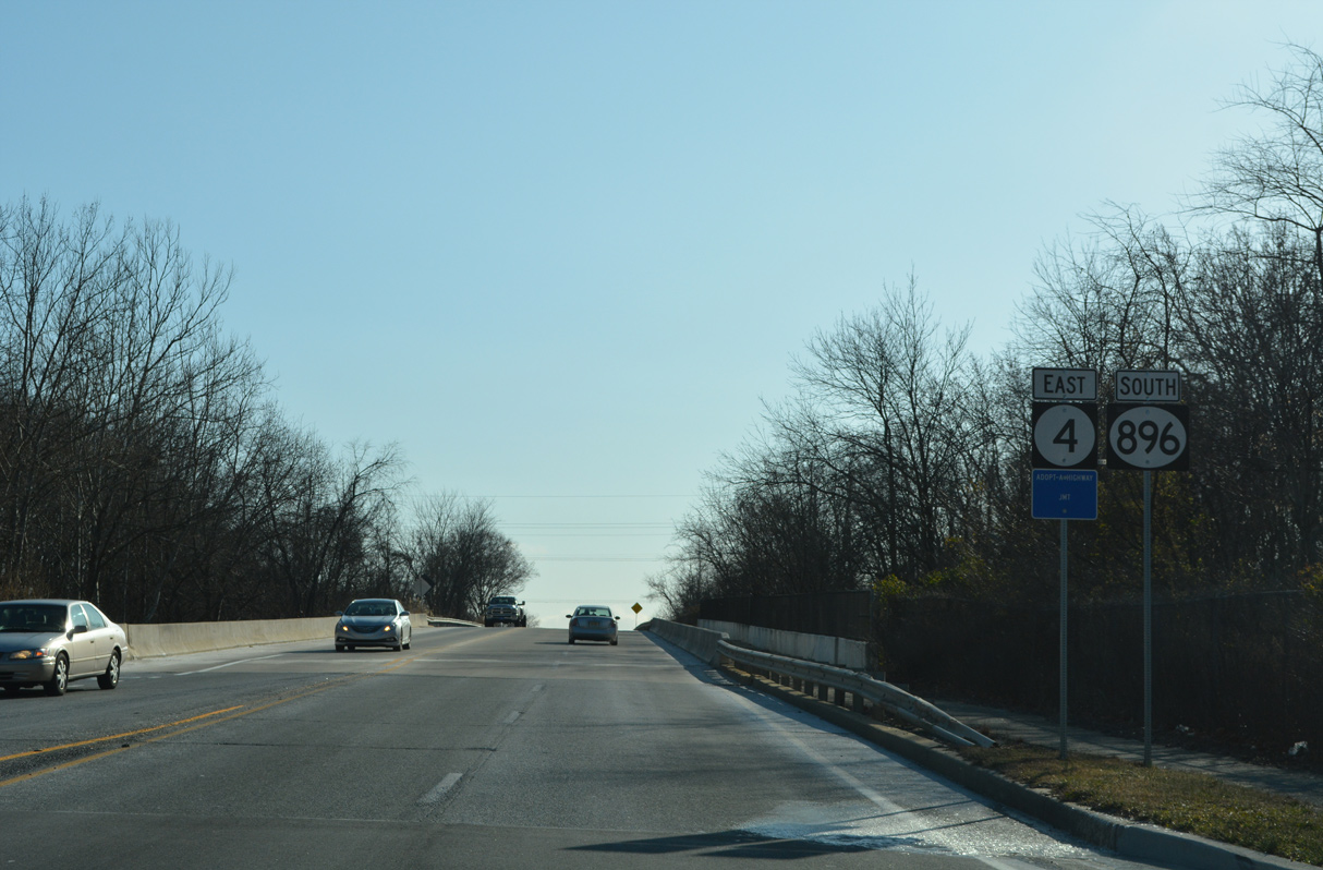
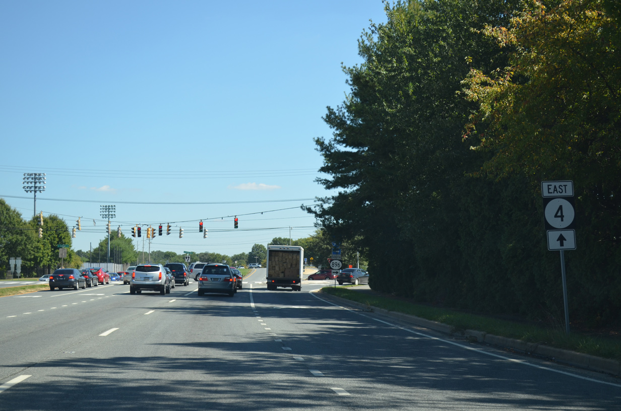
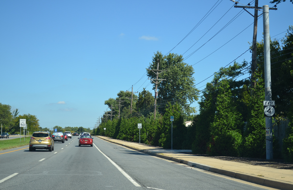
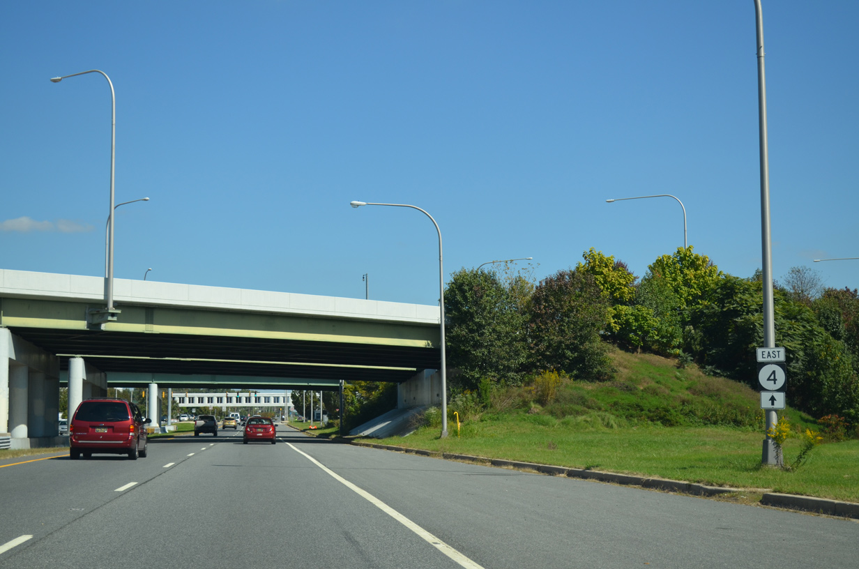
| The first confirming marker for SR 4 stands east of SR 279 (Elkton Road). SR 4/896 overlap 1.44 miles east along Christina Parkway. 12/24/22 |
|
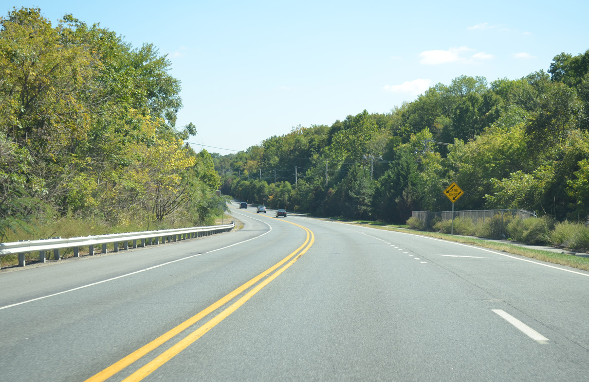
| A lane drop occurs along Christina Parkway just east of the AMTRAK bridge and ahead of the widening to four lanes with a median. Funding for the project to join the separate two lane sections was postponed from Fiscal Year 2015-2020 State Capital Program. 09/26/14 |
|
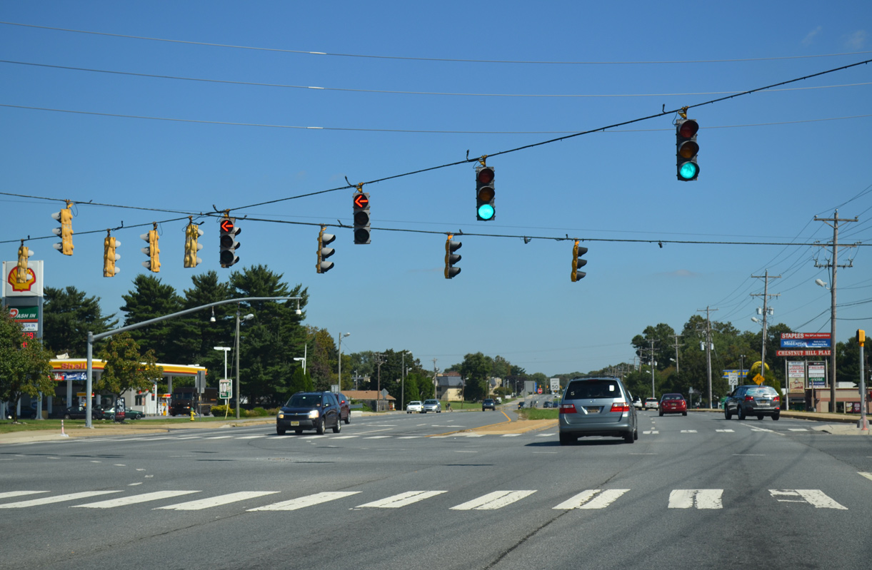
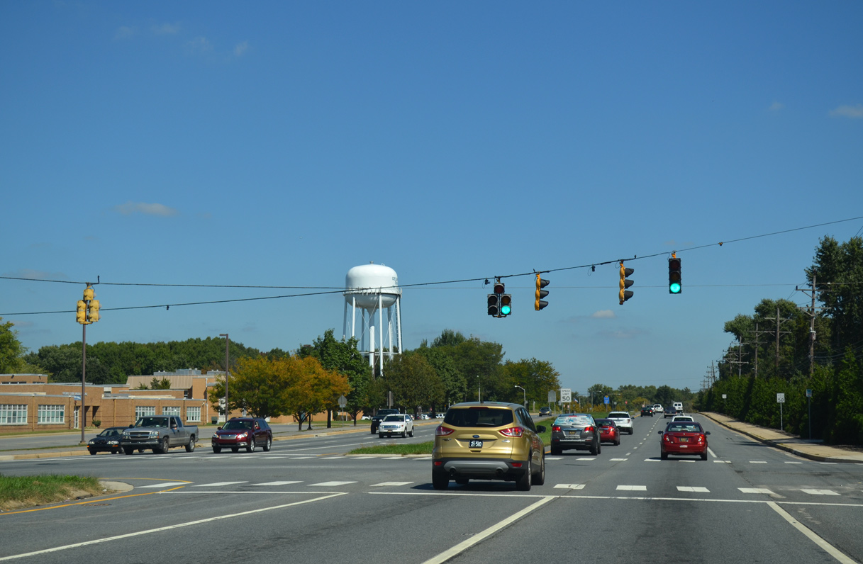
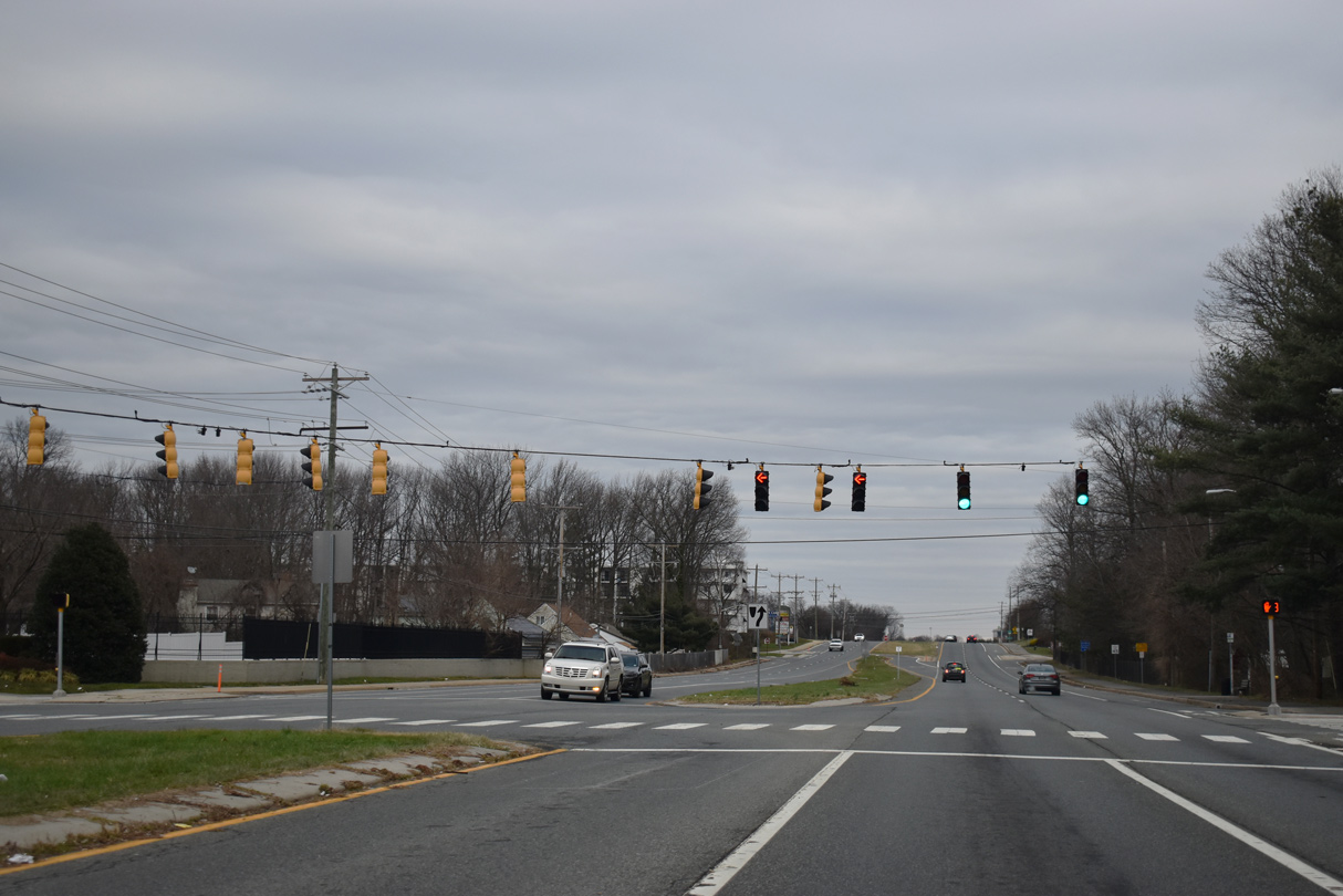
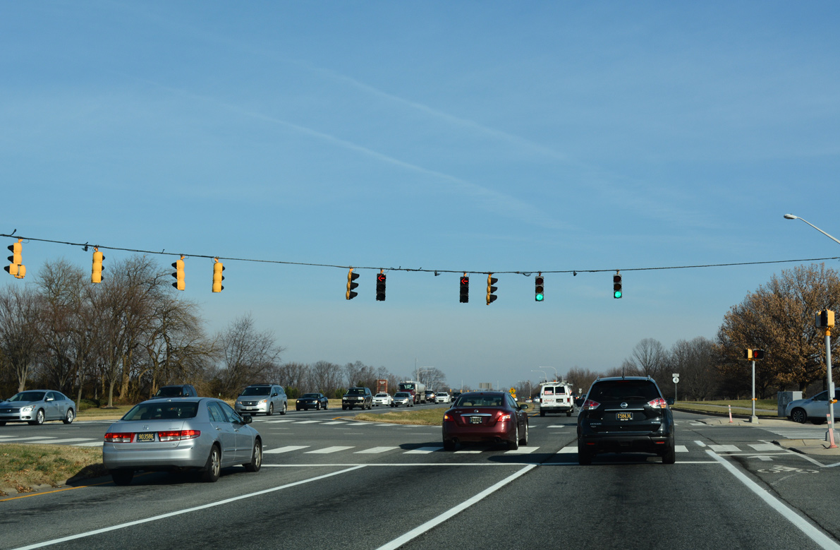
| Traffic lights once operated at the Christina Parkway intersection with the west entrance to the Newark Chrysler Plant. The plant closed in 2008 and was subsequently demolished. 12/24/22 |
|
| Science Drive stems north from SR 4/896 (Christina Parkway) to the University of Delaware's Science, Technology, and Advanced Research (STAR) campus. The university purchased the Chrysler Plant site in 2009. 12/30/18 |
|
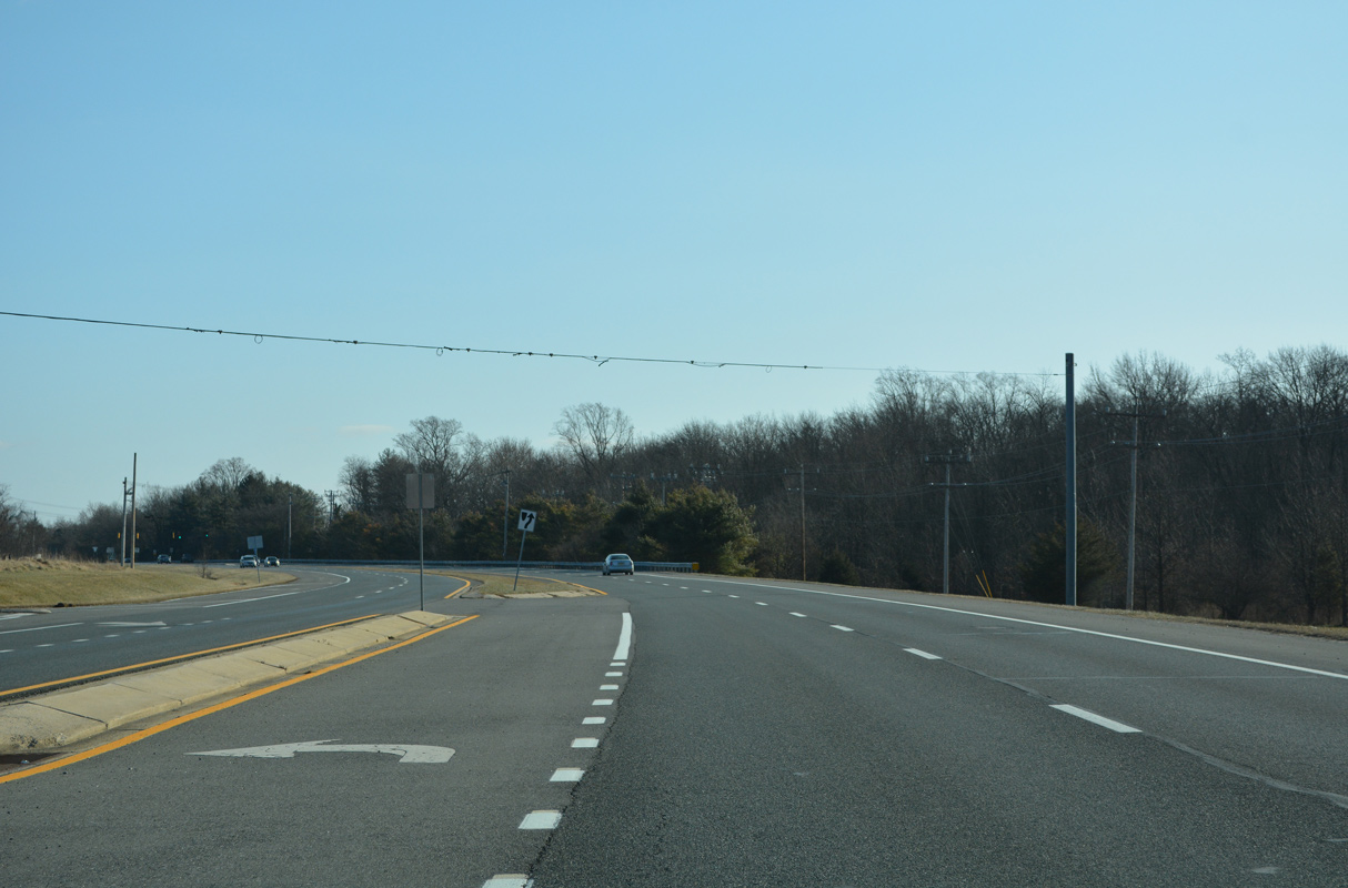
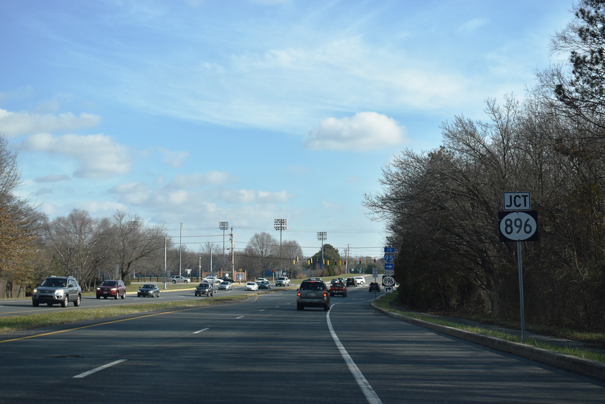
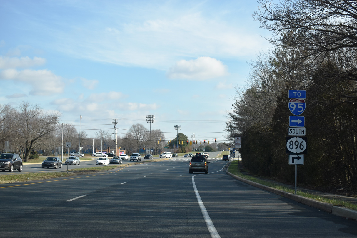
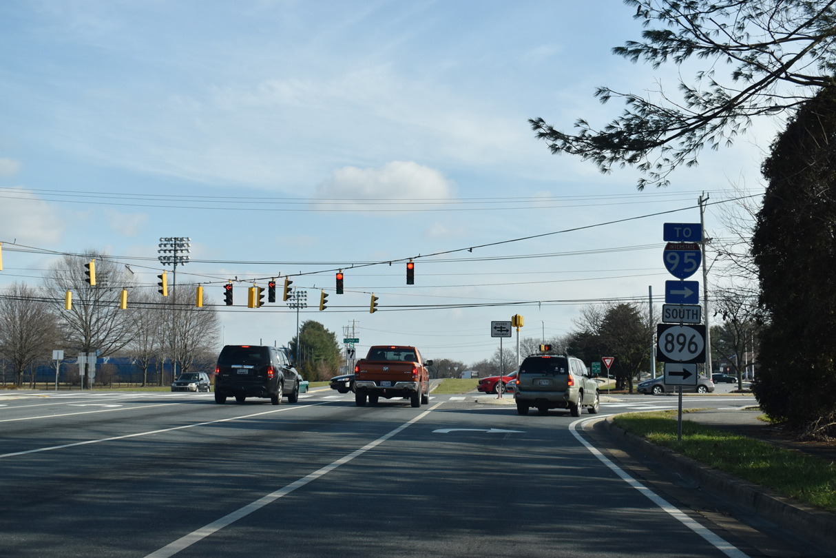
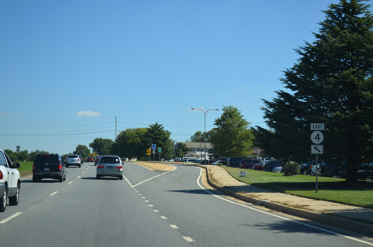
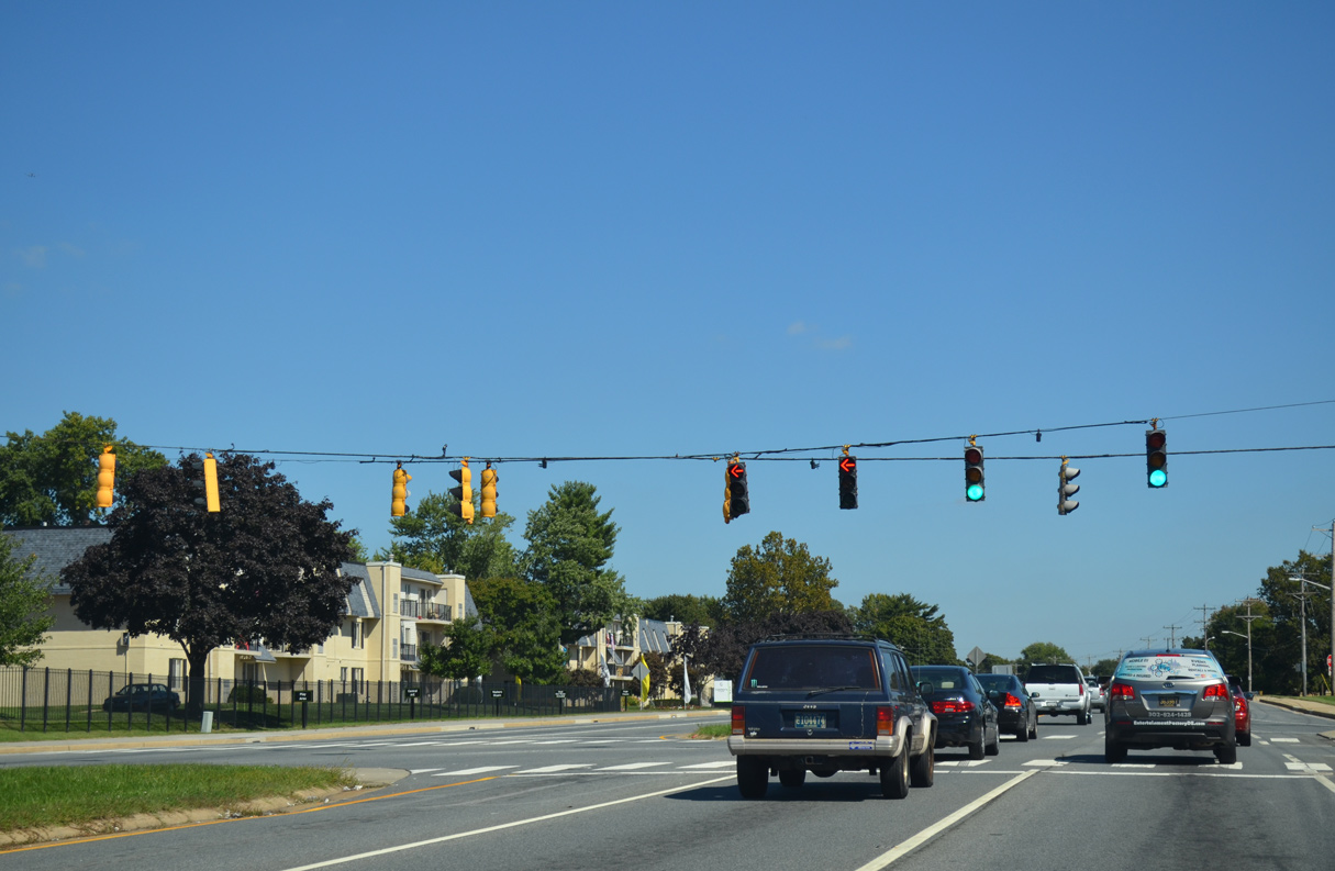
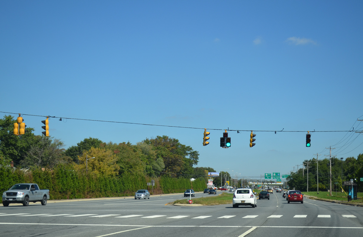
| SR 896 turns south from SR 4 to rejoin College Avenue at the succeeding traffic light on Christina Parkway eastbound. 12/30/18 |
|
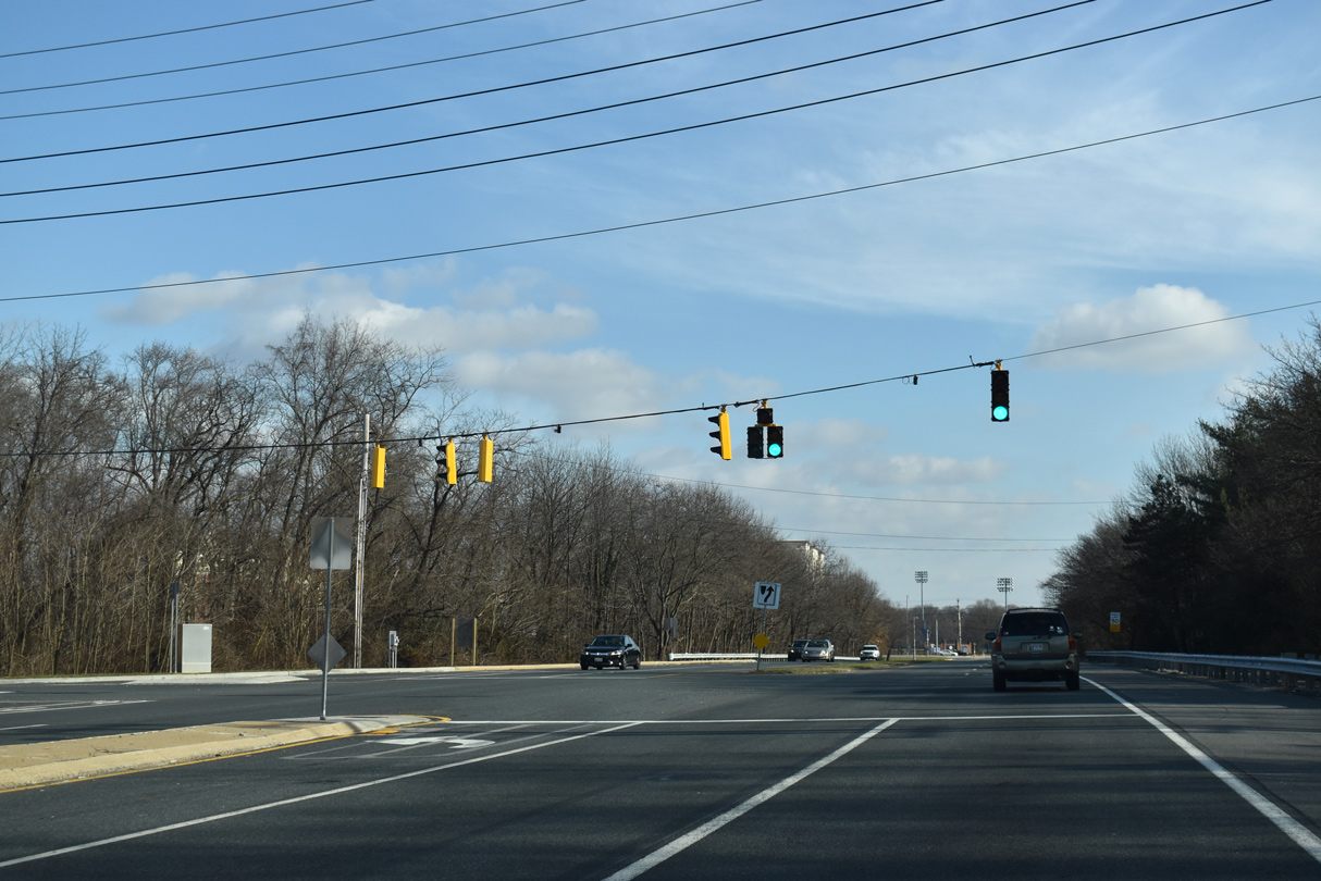
| SR 896 (S College Avenue) leads south to meet Interstate 95 (Delaware Turnpike) just east of the Newark Toll Plaza. I-95 skirts southern reaches of the Newark city limits east from Elkton to Christiana. 12/30/18 |
|
| A trailblazer for SR 4 was added by 2014 for the continuation of the state route east along Chestnut Hill Road to Brookside and Ogletown. 09/26/14 |
|
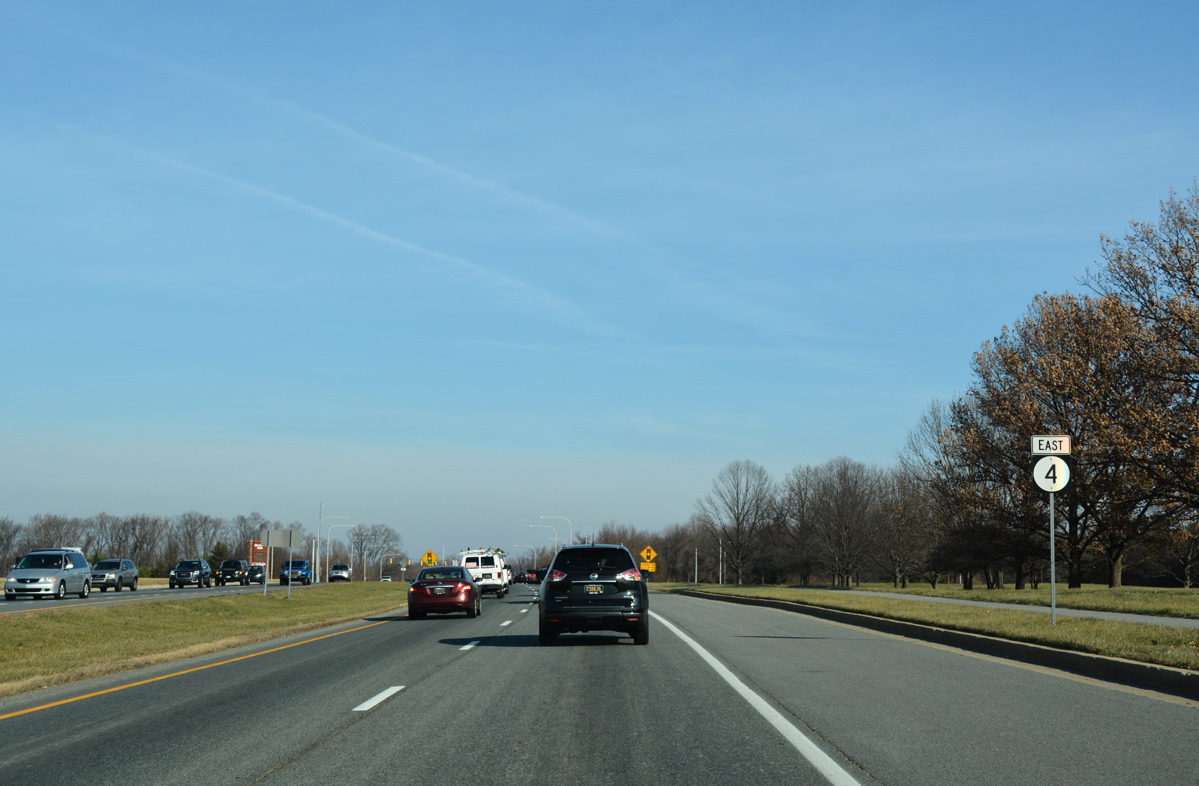
| South from Newark, SR 896 continues to Glasgow and across the C & D Canal via the Summit Bridge. The state route ends east of Mount Pleasant at U.S. 13 and Boyds Corner. 12/30/18 |
|
| Continuing east, SR 4 (Chestnut Hill Road) south of the Bob Carpenter Center by a DART bus ramp and Park and Ride located between College Avenue and the merge with Old Chestnut Hill Road. 09/26/14 |
|
| Chestnut Hill Road eastbound at Robscott Turn, the main entrance to the Robscott Manor subdivision. 09/26/14 |
|
| Reassurance marker for SR 4 east posted ahead of the Norfolk Southern Railroad crossing. A diamond interchange was planned in this location as part of the 1970s Newark Beltway plan for both Robscott Manor and an access road leading north to the University of Delaware athletic facilities. 09/26/14 |
|
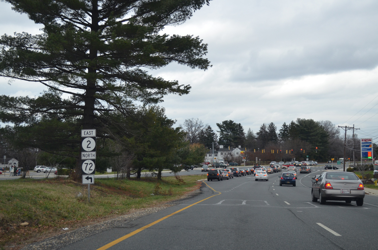
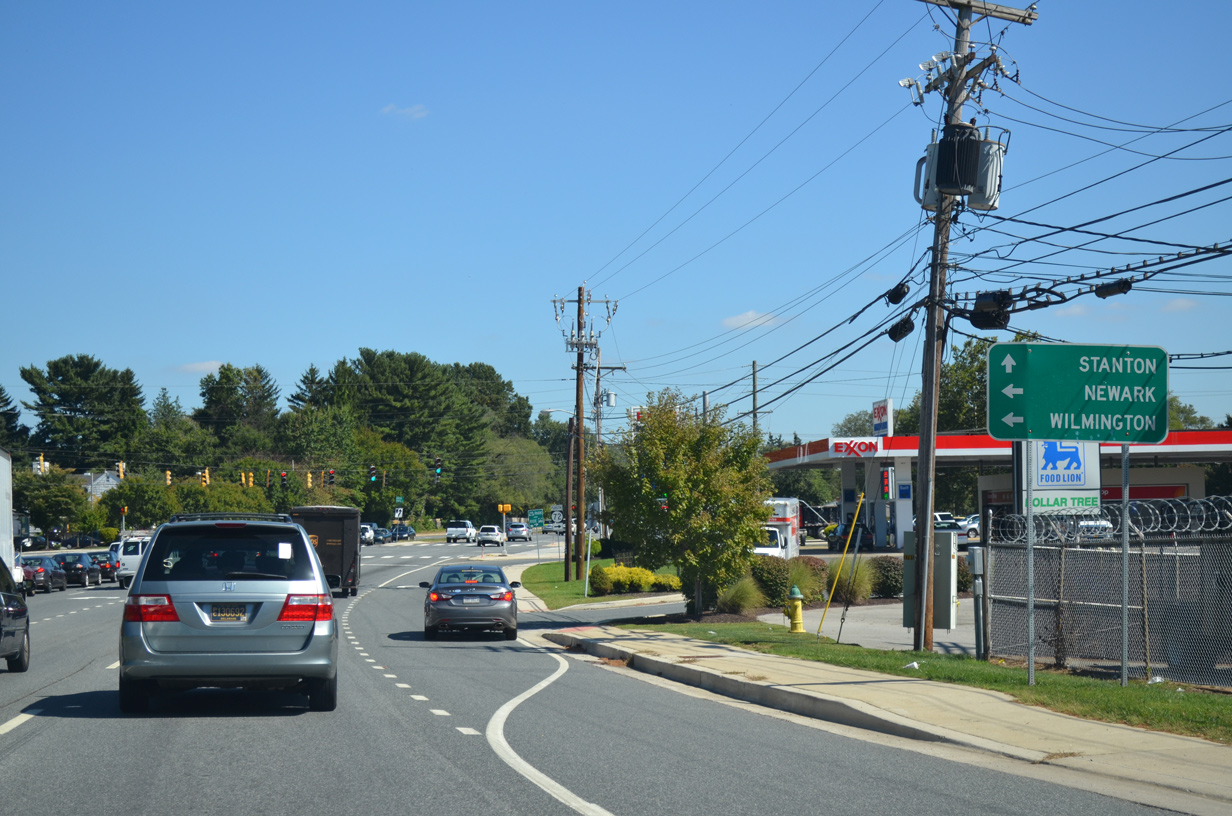
| Prior to 2014, SR 2/4 east split at SR 72 (South Chapel Street) just outside the Newark city limits. SR 2 now begins at the intersection of SR 72 north and 273 west in east Newark. 12/21/12 |
|
| SR 72 follows Chapel Street north through University of Delaware land before curving northeast along Library Avenue to span AMTRAK to College Square Shopping Center and the junction with SR 273 (Delaware Avenue / Ogletown Road). 09/26/14 |
|
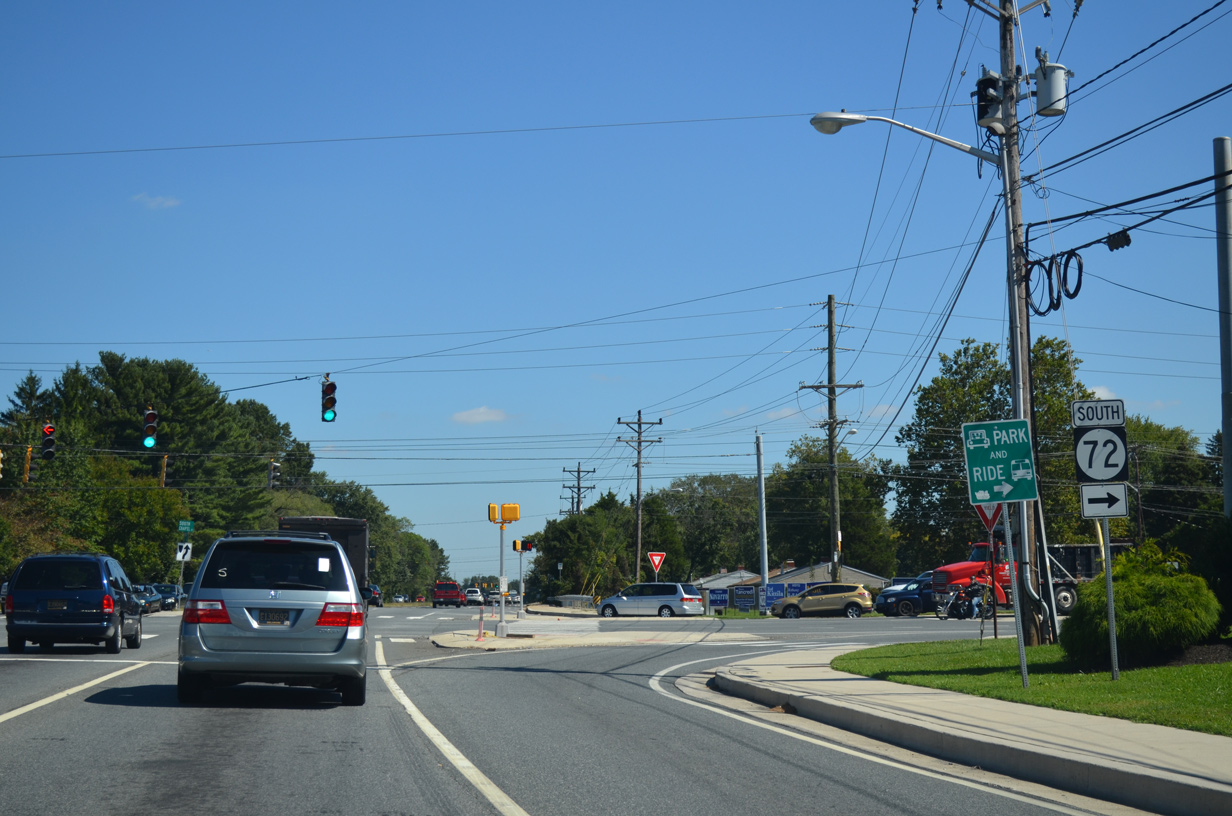
| Southward from SR 4 (Chestnut Hill Road) and Newark, SR 72 arcs to Red Lion (SR 71), Wrangle Hill (U.S. 13) and Delaware City (SR 9). 09/26/14 |
|
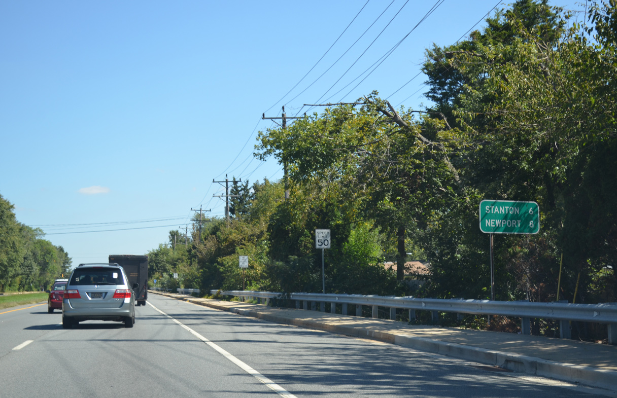
| SR 4 (Chestnut Hill Road) continues eastward six miles to Stanton and eight miles to the town of Newport. The confirming marker posted after SR 72 was removed after 2012. 09/26/14 |
|
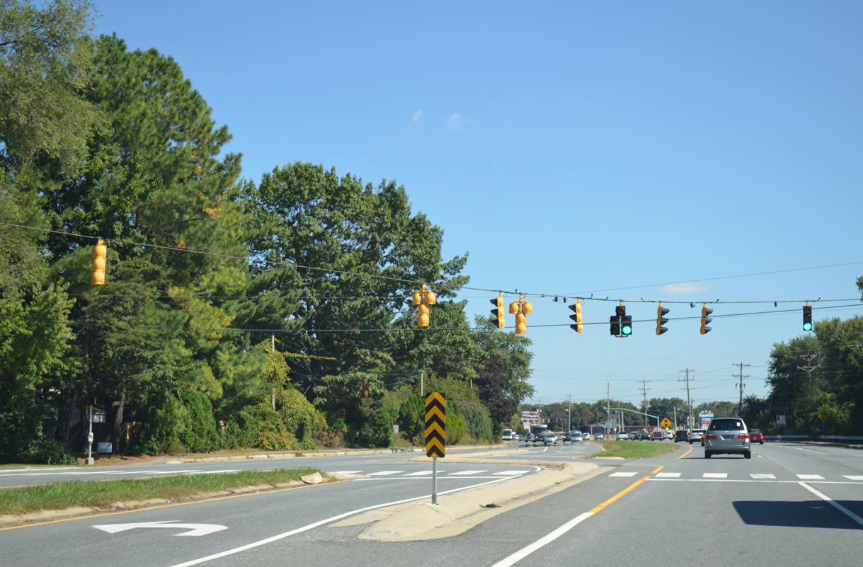
| Signalized left turns join SR 4 next with Kingston Road at the Brookside Park subdivision. 09/26/14 |
|
| Marrows Road leads north from the subsequent traffic light on SR 4 east to SR 273 through the Brookside and Kimberton communities. Marrows Road Extension continues the road south by Chestnut Hill Plaza shopping center to the Scottfield subdivision. 09/26/14 |
|
| Gender Road spurs south from SR 4 (Chestnut Hill Road) to the Breezewood subdivision and Gauger-Cobbs Elementary. 09/26/14 |
|
| SR 4 reassurance marker posted east of Gender Road. Open fields spread to the south beside Holy Family Church. 09/26/14 |
|
| A J-turn connects Old Newark Road south with SR 4 east at this traffic light. An adjacent left turn connects with the residential through road north to Todd Estates and west to Brookside and Marrows Road. 09/26/14 |
|
| Pearson Drive ties into Chestnut Hill Road at the south end of Todd Estates adjacent to Kirk Middle School. 09/26/14 |
|
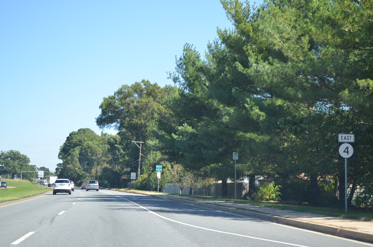
| Another reassurance marker for SR 4 east appear as Chestnut Hill Road enters unincorporated Ogletown. 09/26/14 |
|
| Augusta Drive provides the lone entrance to Chestnut Hill Estates from SR 4 eastbound. The subdivision spreads north to Ogletown Road, the former alignment of SR 273. 09/26/14 |
|
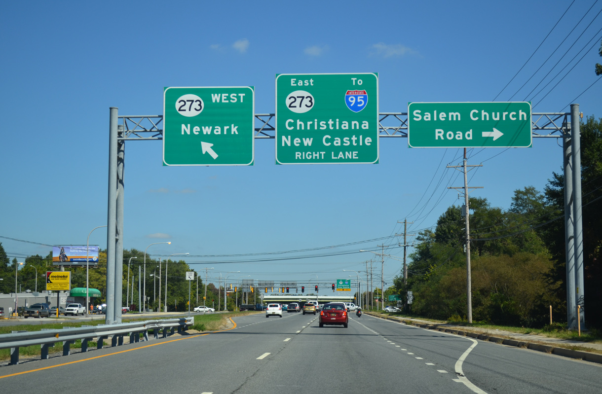
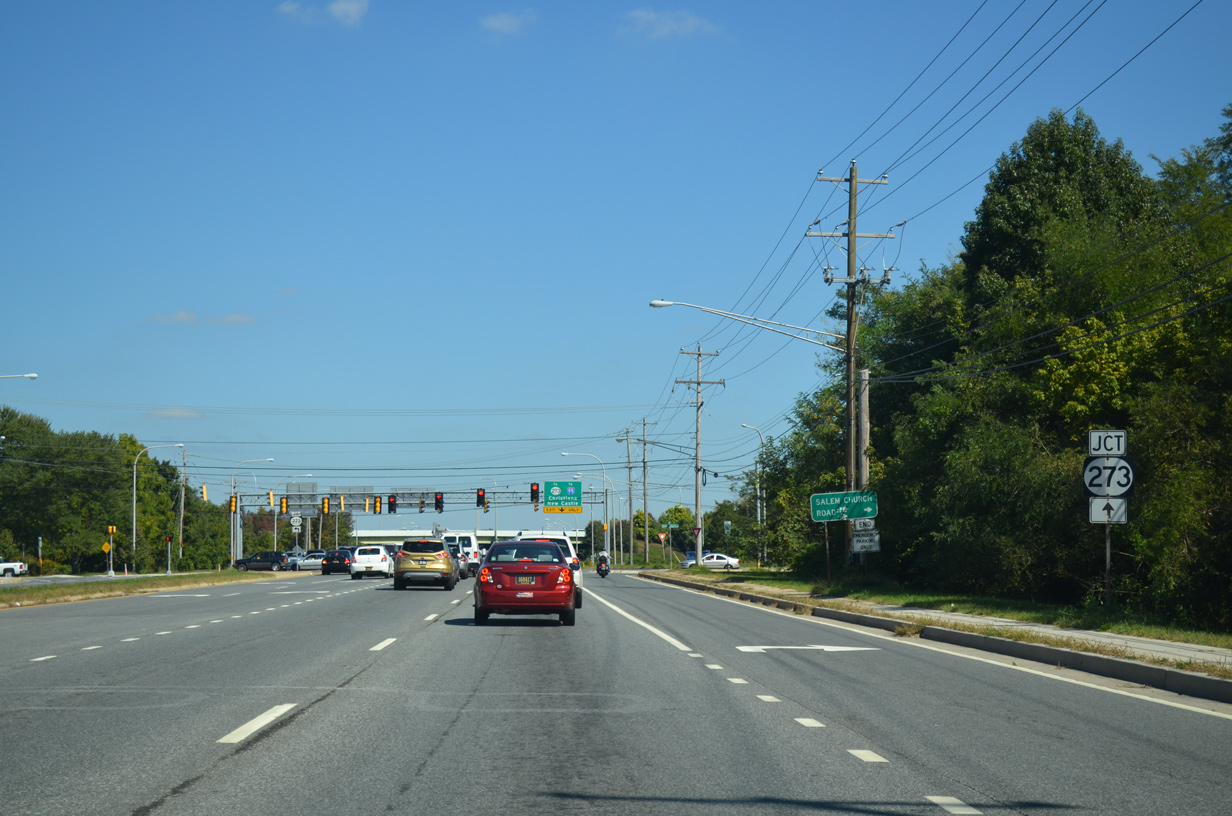
| Salem Church Road heads north from Old Baltimore Pike to end at SR 4 opposite ramps with SR 273. Construction completed in 2007 removed a short overlap where SR 273 made a dog leg between Ogletown Road west and Christiana Road east on the ensuing stretch. 09/26/14 |
|
| Dual turn lanes open for the ramp to SR 273 leading back west to Newark. The expressway bypass for SR 273 severed the connection from SR 4 to Ogletown Road west and Red Mill Road north. Access roads connect both with SR 273 just to the north. 09/26/14 |
|
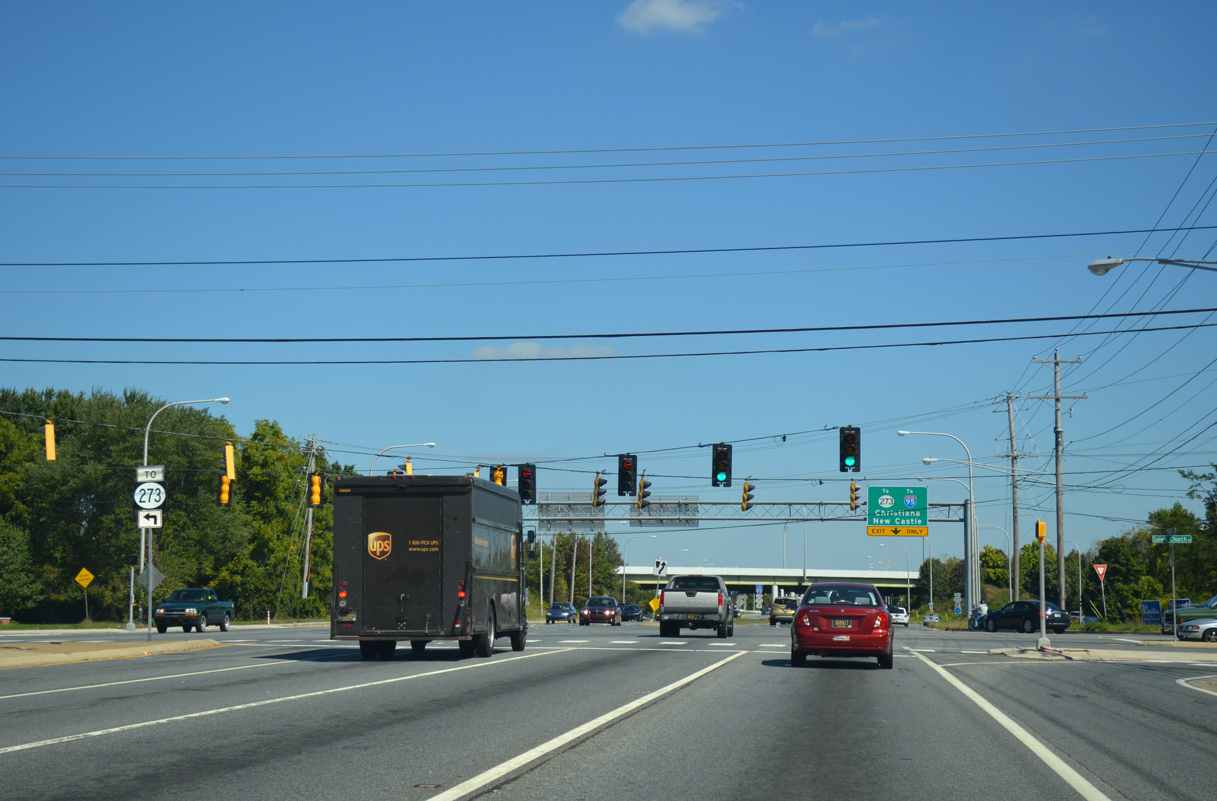
| The SR 273 trailblazer posted at Salem Church Road references the eastbound on-ramp from SR 4 west. SR 4 east sees a separate ramp for Christiana and New Castle.
The SR 273 expressway bypassed a stretch of Ogletown Road that was notorious for flooding during heavy rains. Additionally the CSX Railroad bridge, nicknamed the "Avon Underpass" (because it was located next to the Avon building), claimed many over height trucks with its very low clearance. 09/26/14 |
|
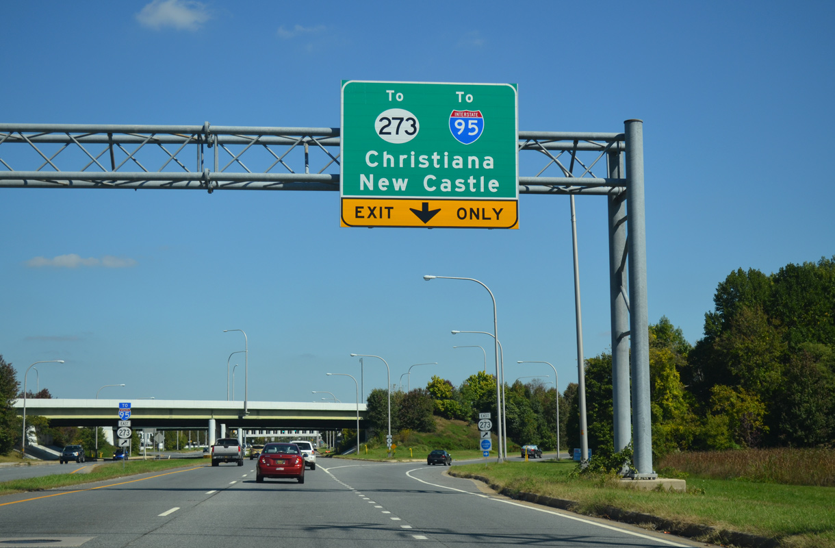
| SR 273 east meets Interstate 95 midway between Ogletown and Christiana.
The Ogletown bypass for SR 273 directly overlaid a portion of Christiana Road east ahead of the Birchwood Park and Hillside Heights subdivisions. 09/26/14 |
|
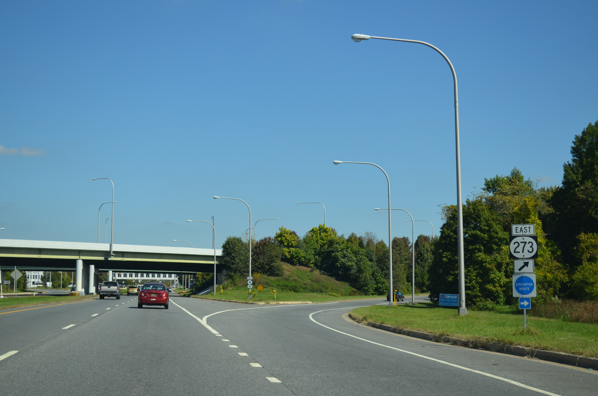
| SR 4 passes below SR 273 on overpasses built in 1989. Community opposition, wetlands mitigation and funding delayed construction on the Ogletown bypass until the mid 1990s. 09/26/14 |
|
| Red Mill Road previously intersected SR 4 at the east split with SR 273. Formerly a through road north to SR 2 (Capitol Trail) and Polly Drummond Hill Road, the road now ends at Prides Crossing, a north side frontage road. 09/26/14 |
|
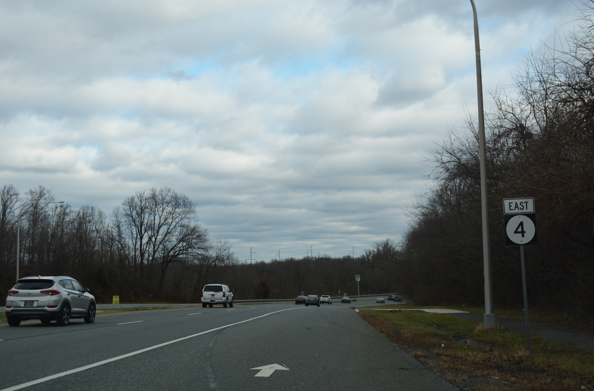
| Progressing east, SR 4 (Ogletown Stanton Road) travels by the former headquarters of MBNA, Allandale Village Apartments and the Brookbend and Harmony Crest subdivisions. The ensuing traffic light is with Prides Crossing (Rd 358C), a frontage road leading 0.52 miles west to Red Mill Road. 12/26/20 |
|
| Harmony Road (Rd 355) comprises a popular through route 1.30 miles north to Capitol Trail (SR 2) and 0.73 miles south between the Hillside Heights and Tanglewood subdivisions to SR 273 at I-95. 12/26/20 |
|
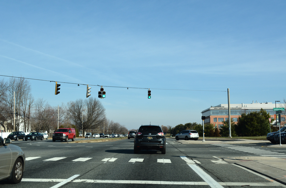
| Samoset Drive connects SR 4 with the Westgate Corporate Center and the south entrance to Christiana Hospital. Rolling Drive ties in from the Rutherford subdivision on the north side of Ogletown Stanton Road. 12/23/16 |
|
| An adjacent signal along SR 4 east operates at the main entrance to Christiana Hospital opposite Hygeia Drive north to the Omega Professional Center. 12/23/16 |
|
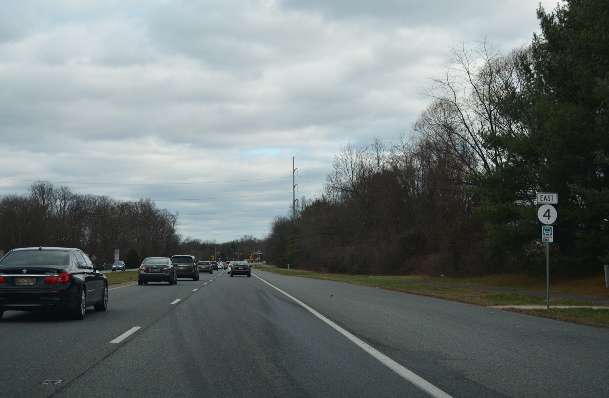
| Eastbound reassurance marker posted for SR 4 (Ogletown Stanton Road) after Hygeia Drive. 12/23/16 |
|
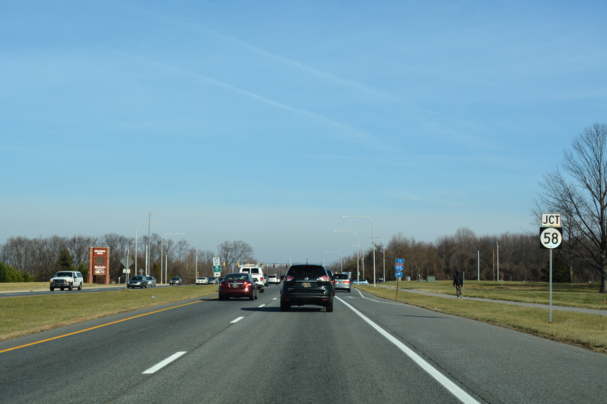
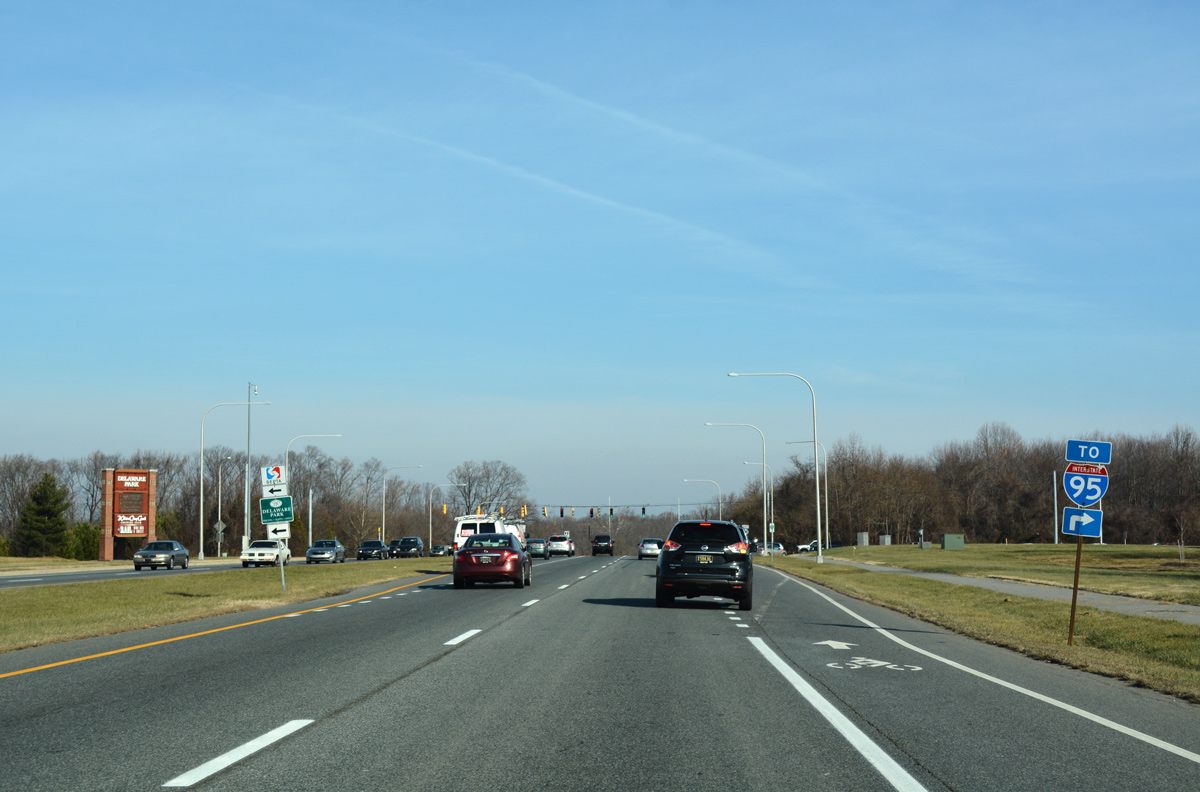
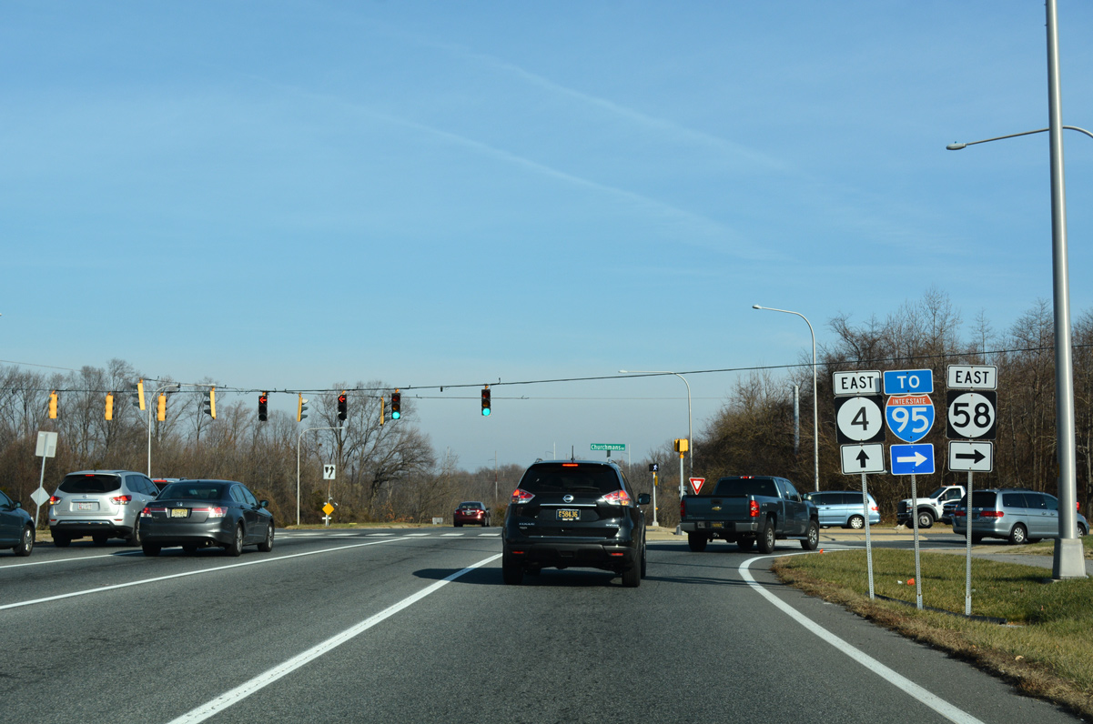
| SR 4 next approaches the west end of SR 58 (Churchmans Road) and Delaware Park Boulevard north. 12/23/16 |
|
| SR 58 east links SR 4 with SR 1/7 at Interstate 95 in three quarters of a mile. 12/23/16 |
|
| SR 58 follows Churchmans Road east to SR 273 near Hares Corner. Delaware Park Boulevard spurs north to Churchmans Crossing Station (SEPTA Regional Rail) and Delaware Park Racetrack and Casino. 12/27/12 |
|
| SR 4 (Ogletown Stanton Road) passes between the north side of Center Pointe Plaza shoppingg center and an area of wetlands east of SR 58. 12/22/18 |
|
| Old Churchmans Road angles north from SR 58 near the exchange with SR 1 to intersect SR 4 across from Stanton Ogletown Road. 12/22/18 |
|
| Paralleling to the north, Stanton Ogletown Road represents the old alignment of SR 4 east to SR 7. 12/22/18 |
|
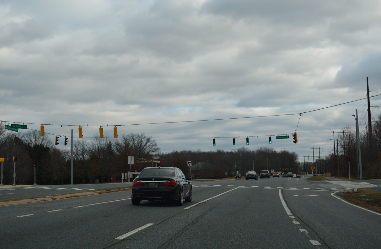
| Traffic signals were installed along SR 4 at Centurian Drive / Twin C Lane by 2015. 12/22/18 |
|
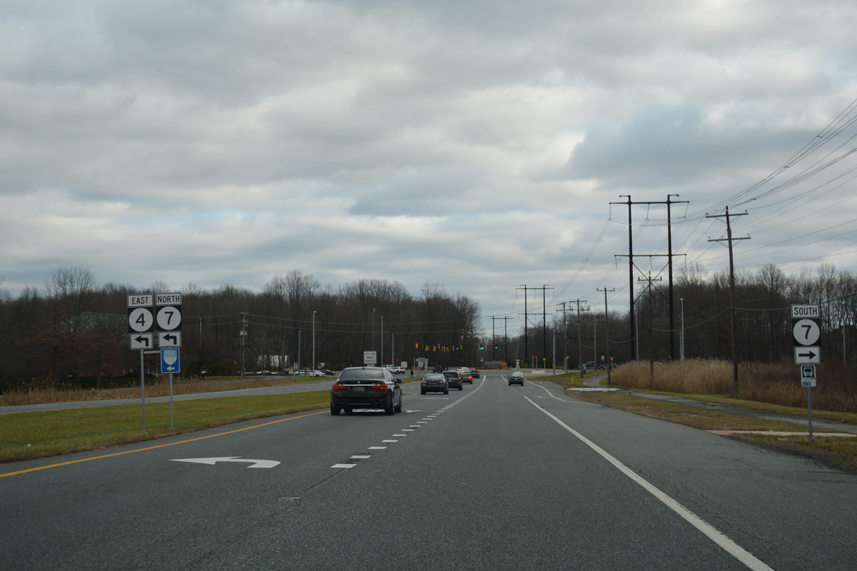
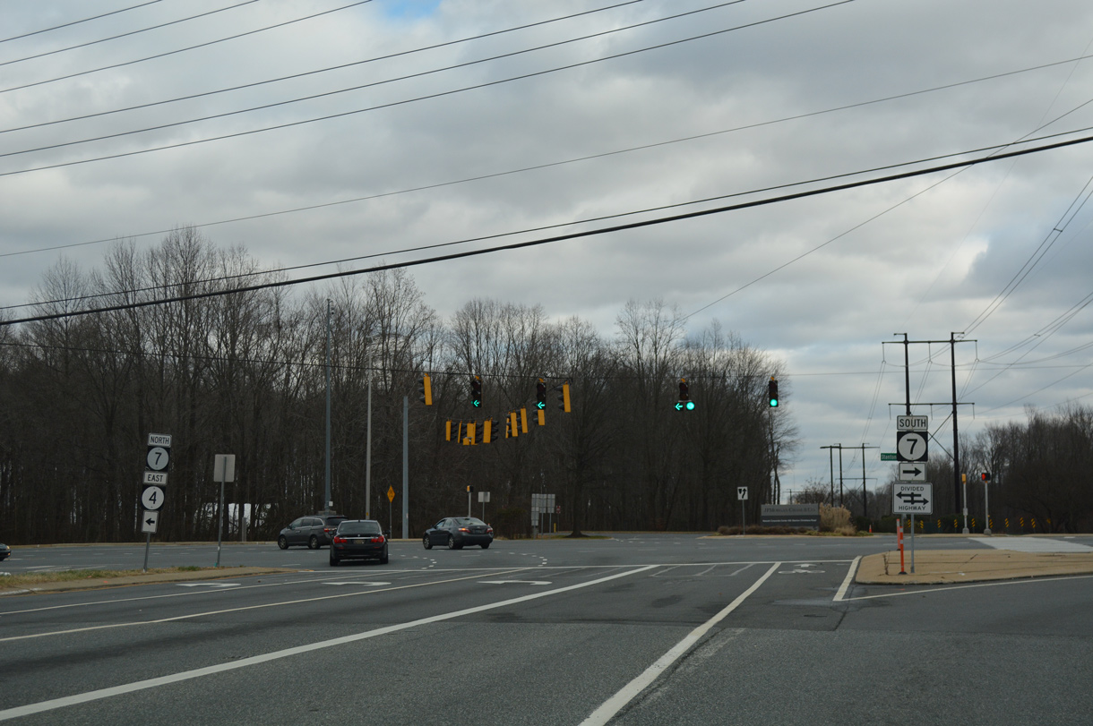
| SR 4 precedes east from Twin C Lane to merge with SR 7 north in Churchmans Crossing. 12/22/18 |
|
| SR 4 east / SR 7 north combine for 1.2 miles between Ogletown Stanton Road and Limestone Road at Stanton. SR 7 south directly upgrades to the SR 1 freeway ahead of Christiana Mall. 12/22/18 |
12/21/12, 12/27/12, 09/26/14, 12/23/16, 12/22/18, 12/30/18, 12/26/20, 12/24/22 by AARoads
Page Updated 01-04-2023.


 East
East  South
South