SR 42 (Blackiston Road) circles southeast from SR 6 (Millington Road) and Longridge Road at the rural settlement of Blackiston to SR 9 at Leipsic. Initially heading south, the state route crosses open farm land and a tract of Blackiston Wildlife Area to the small town of Kenton. East from Commerce Street, Seven Hickories Road continues the route to an overlap with SR 15 and the suburban outskirts of Cheswold.
Main Street leads SR 42 east through Cheswold to U.S. 13 (Dupont Highway). The state route turns more northerly from there along Fast Landing Road to SR 9 along 2nd Street in the town of Leipsic.
SR 42 was designated by 1936 to connect U.S. 13 and the town of Cheswold with Kenton and SR 6 leading west to U.S. 301 through south Kent County, Maryland. SR 42 appeared with other rural northern Kent County routes (SR 6, SR 11, SR 44, and SR 300) on the 1936-37 Official Delaware Highway Map.
Delaware State Route 42 - 2015 Annual Average Daily Traffic (AADT)
- 2,815 - SR 6 to Underwoods Corner Road
- 6,274 - east Kenton limits to SR 15 (Kenton Road)
- 7,747 - east Cheswold limits to U.S. 13
- 1,210 - U.S. 13 to East Denneys Road
- 550 - west Leipsic limits to SR 9
|
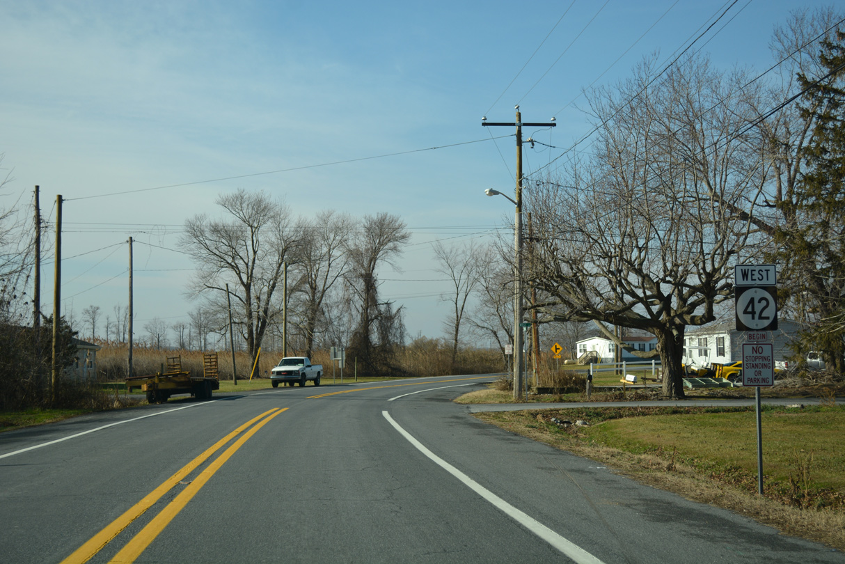
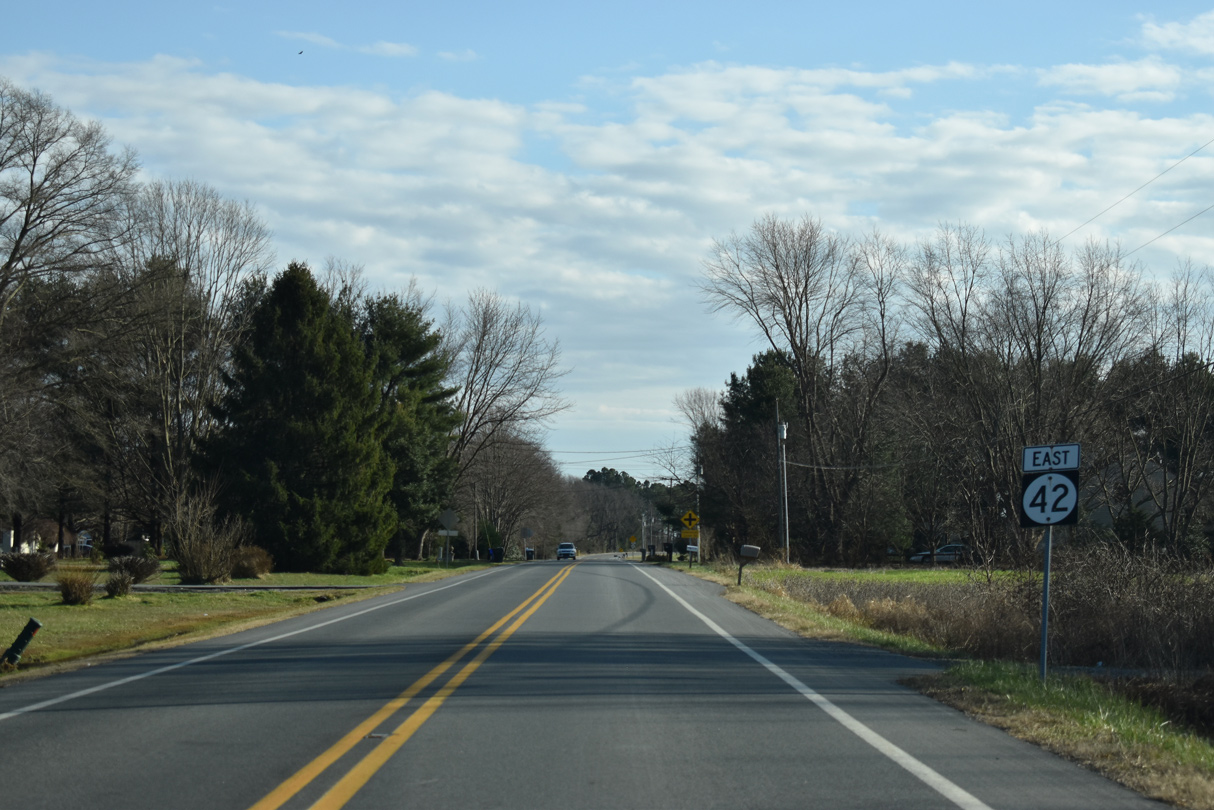
| Leading away from SR 6 (Millington Road) and Longridge Road (Rd 129), SR 42 (Blackiston Road) follows a mostly rural course southeast four miles to Kenton and eight miles to Cheswold. 12/28/20 |
|
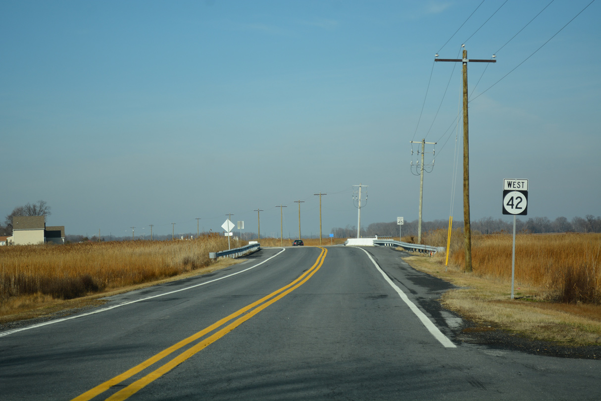
| The first confirming marker for SR 42 follows as Blackiston Road curves across open farm land to Sudlers Row west. 01/16/17, 12/28/16 |
|
| Spencer Drive (Rd 44A) forms a 0.39 mile residential loop west from SR 42 (Blackiston Road) by this reassurance marker. 12/28/20 |
|
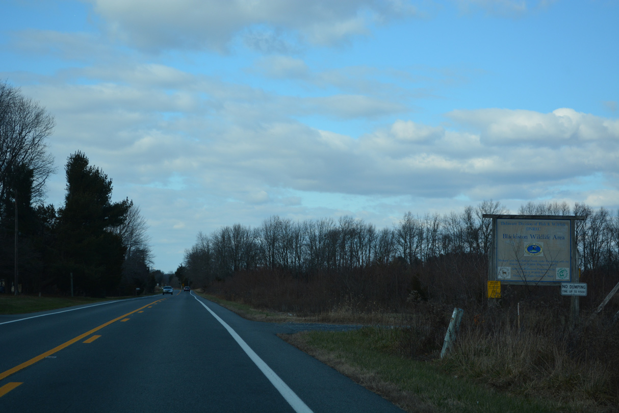
| Spencer Drive returns to SR 42 east ahead of this shield assembly. SR 42 travels alongside a tract of Blackiston State Wildlife Area here as well. 12/28/20 |
|
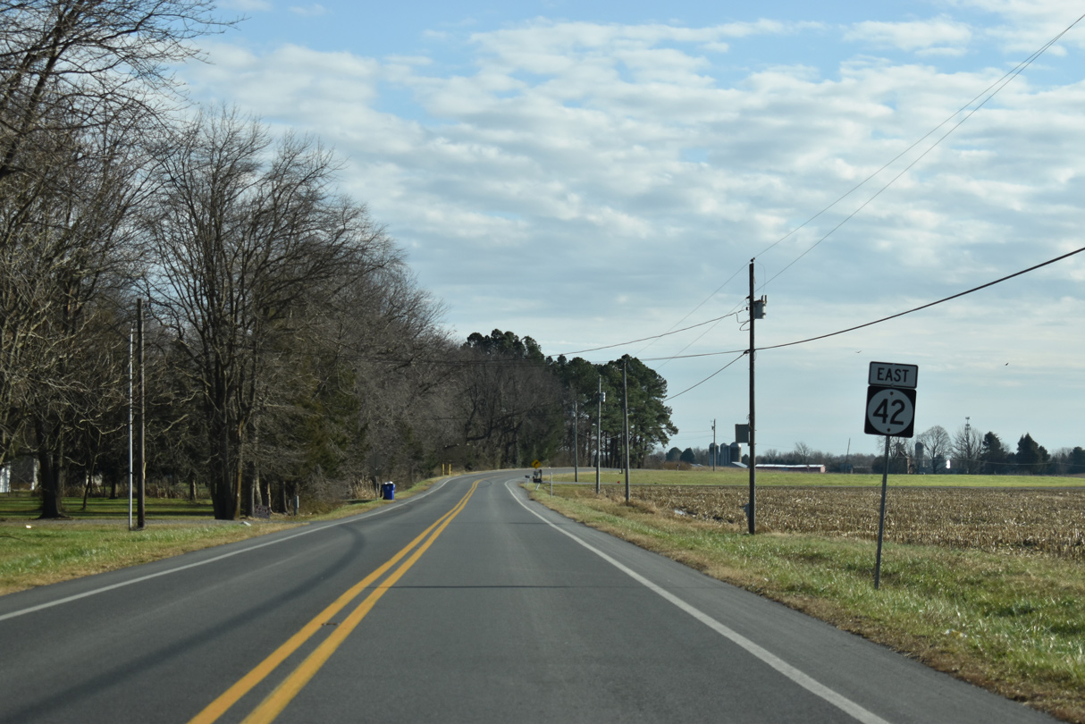
| SR 42 (Blackiston Road) east next reaches the settlement of Underwood Corner. Underwoods Corner Road (Rd 94) intersects the state route ahead of this reassurance marker. 12/28/20 |
|
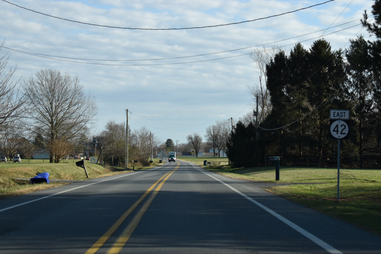
| Blackiston Road is well signed as SR 42, with a shield posted after Chance Road (Rd 140) ties in from the west. 12/28/20 |
|
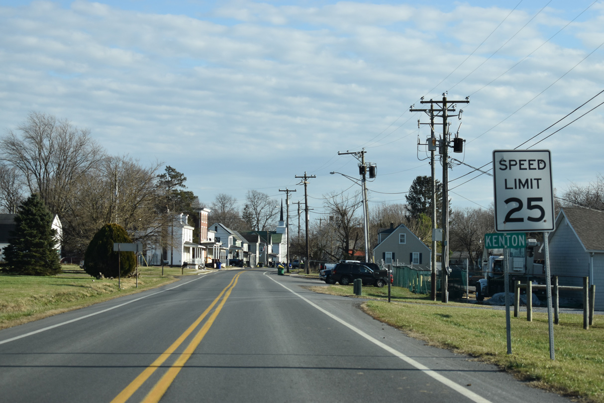
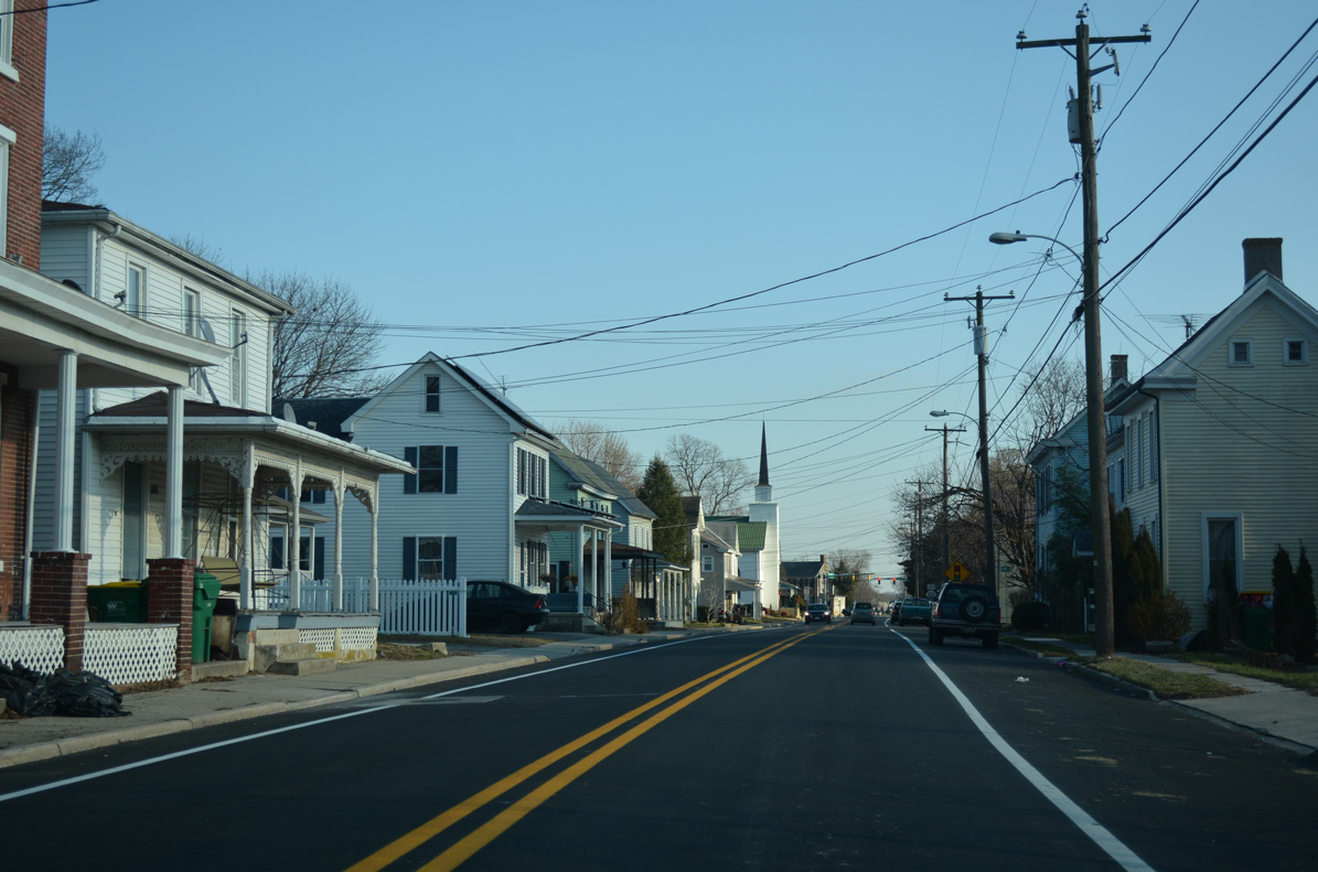
| Turning more to the east, SR 42 enters the town of Kenton along Commerce Street. 12/28/20 |
|
| Kenton consists of a handful of residential streets and 250 plus residents. Commerce Street intersects High Street in this scene. 12/28/16 |
|
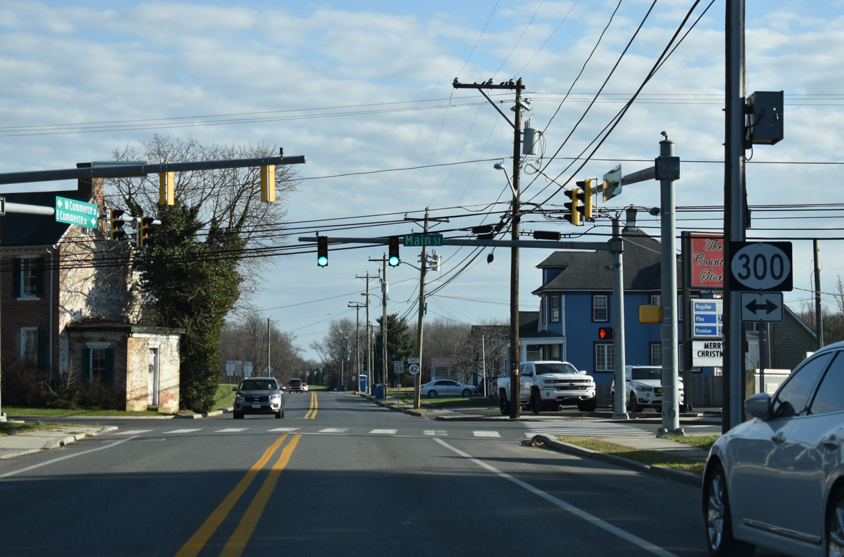
| Forthcoming SR 300 crosses Kenton along Main Street through the heart of town. 12/28/20 |
|
| SR 300 travels 11.83 miles southwest from U.S. 13 in Smyrna to Queen Annes County, Maryland, where MD 300 takes over west to Sudlersville and U.S. 301. 12/28/20 |
|
| Commerce Street continues a short distance southeast from SR 300 (Main Street) to Pinks Branch, where SR 42 transitions onto Seven Hickories Road. 12/28/16 |
|
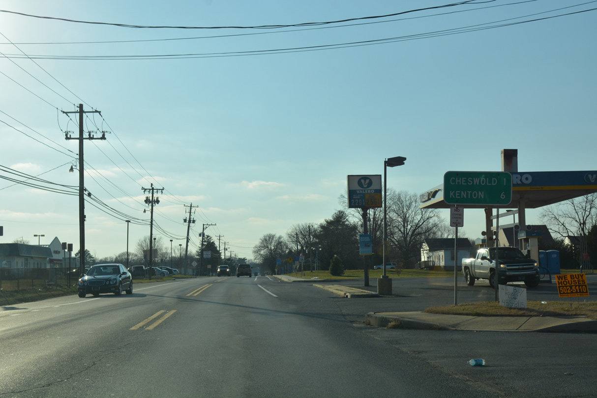
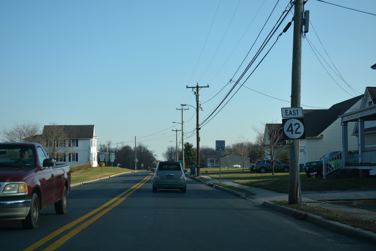
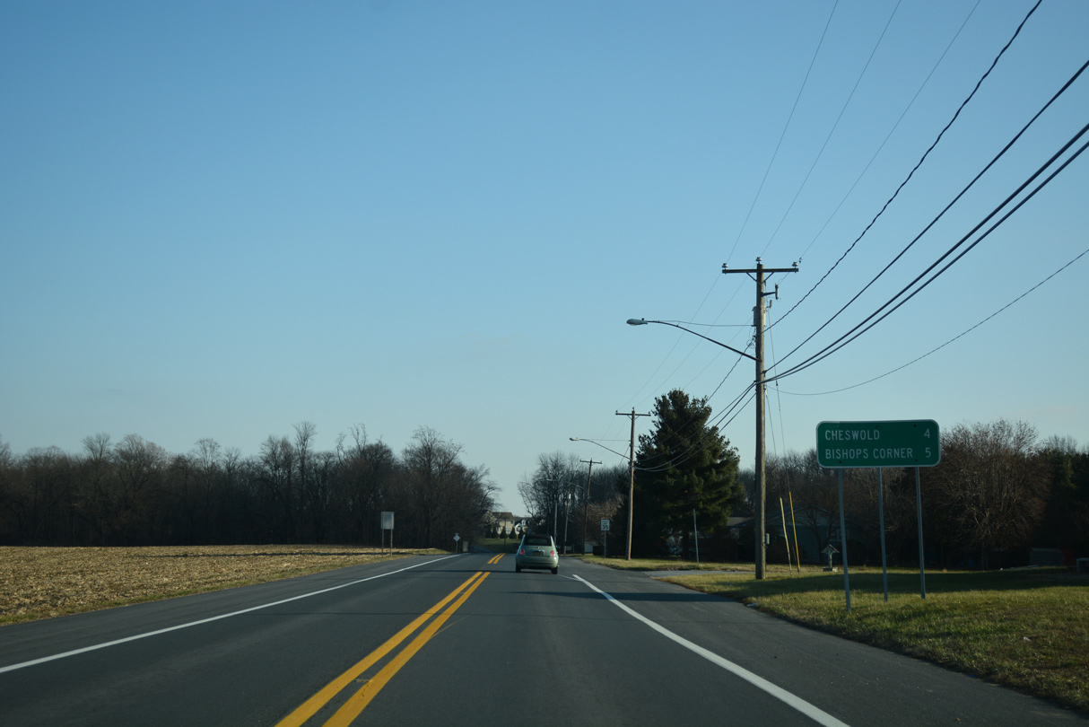
| Cheswold lies four miles to the east directly along SR 42 (Seven Hickories Road). Bishops Corner, where SR 42 intersects U.S. 13 (Dupont Highway), is located 4.86 miles away from the Kenton town line. 12/28/16 |
|
| Seven Hickories Road passes by the Whitetail Run subdivision and agricultural areas east from Pinks Branch to Taylor Branch. 12/28/16 |
|
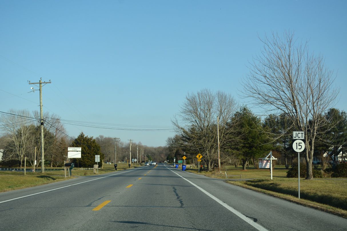
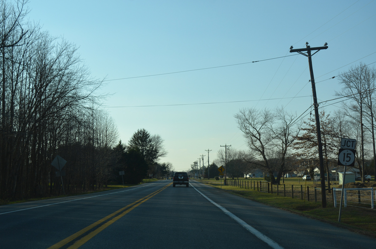
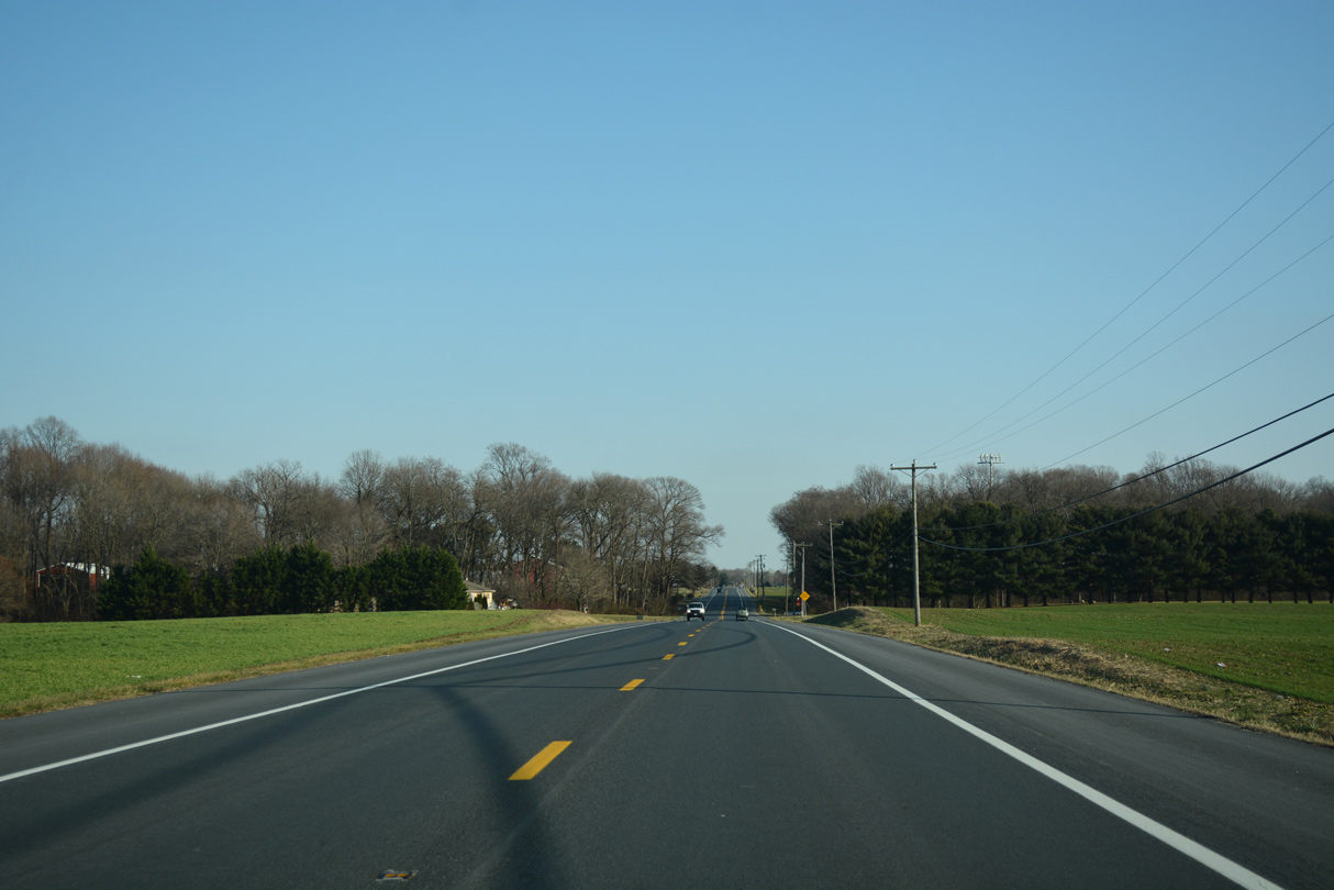
| SR 15 (Brenford Road) heads south from Friendship Road to meet SR 42 at Seven Hickories. 12/28/16 |
|
| SR 15 leads back north to SR 300 and the town of Clayton. Seeneytown Road intersects SR 15 and SR 42 from rural Shaws Corner to the southwest here as well. 12/28/16 |
|
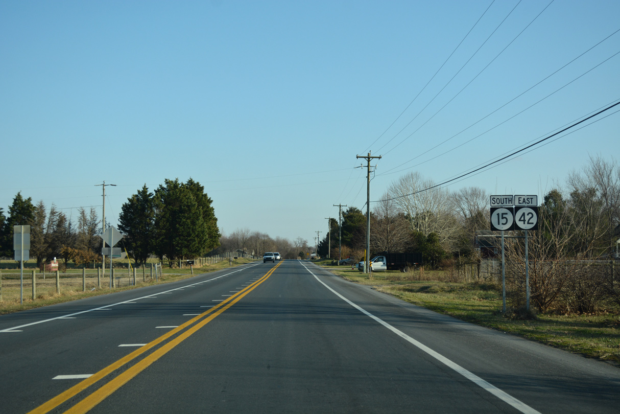
| Confirming markers for SR 15 south / SR 42 east after their merge at Seven Hickories. 12/28/16 |
|
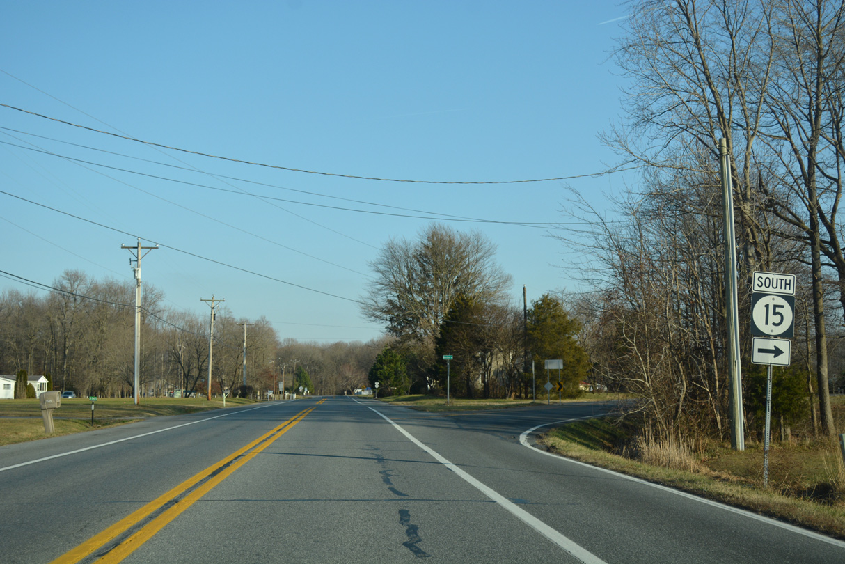
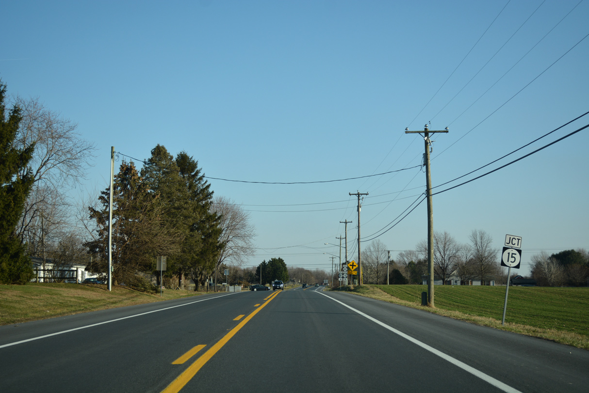
| Seven Hickories Road turns more easterly ahead of the partition with SR 15 (Kenton Road) south and Moores Corner. 12/28/16 |
|
| SR 15 continues its southward course toward Dover while SR 42 bends northward to Cheswold and Leipsic. 12/28/16 |
|
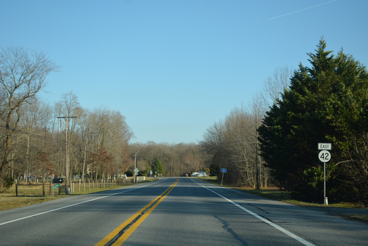
| Pearsons Corner Road north converges with SR 42 (Seven Hickories Road) east next at Moores Corner. 12/28/16 |
|
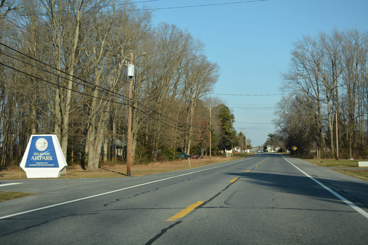
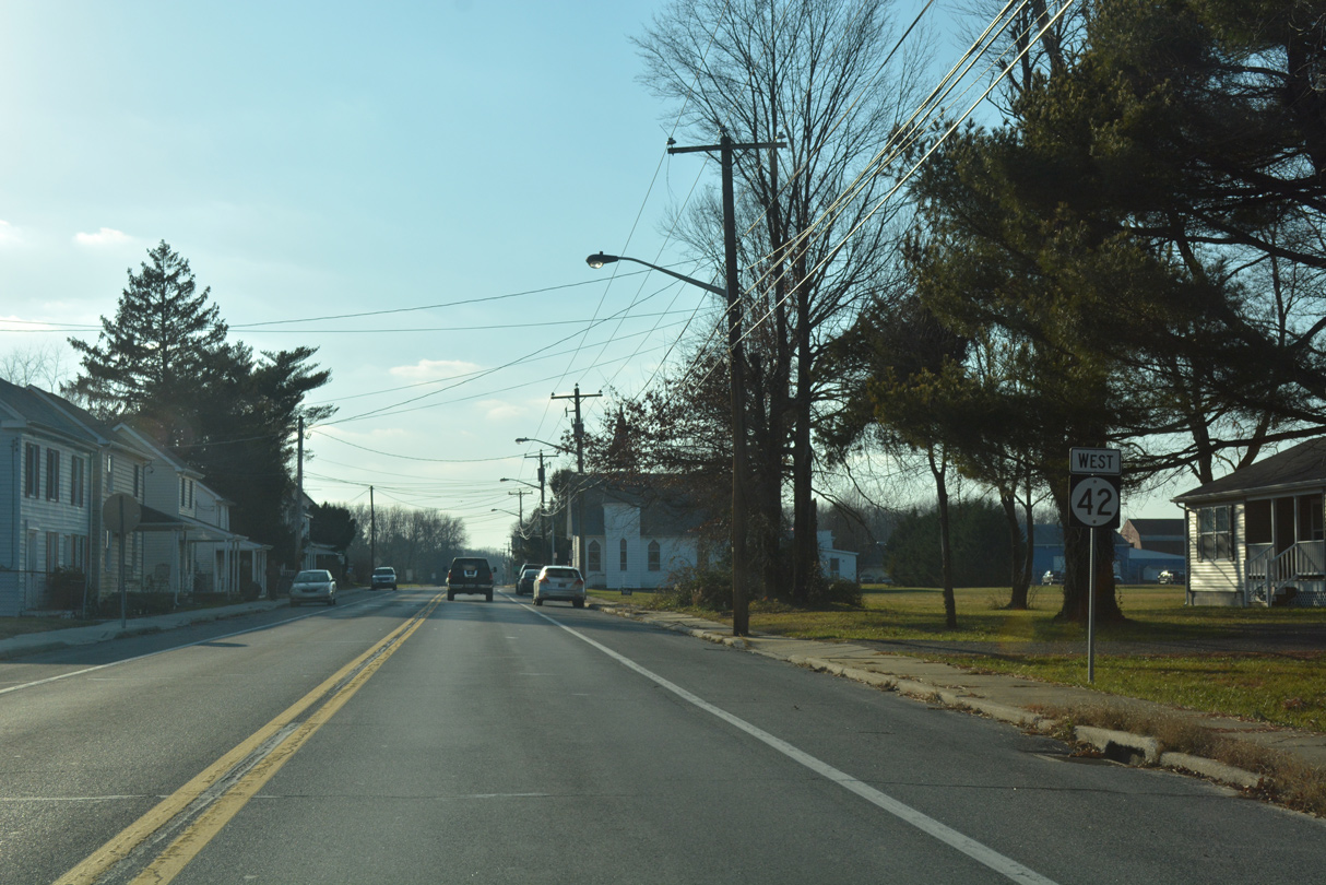
| Delaware Airport (33N) lies just north of Seven Hickories Road on the outskirts of Cheswold. Speed limits along SR 42 reduce to 35 miles per hour beyond the airport access road. 12/28/16 |
|
| Main Street leads SR 42 east through Cheswold. The state route intersects Parker's Drive north to the Parker's Run subdivision ahead of Cheswold town hall in this scene. 12/28/16 |
|
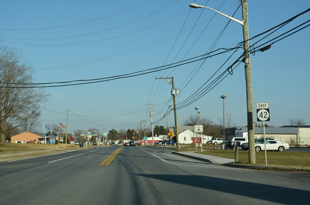
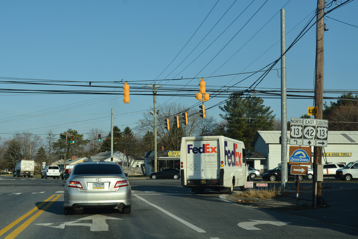
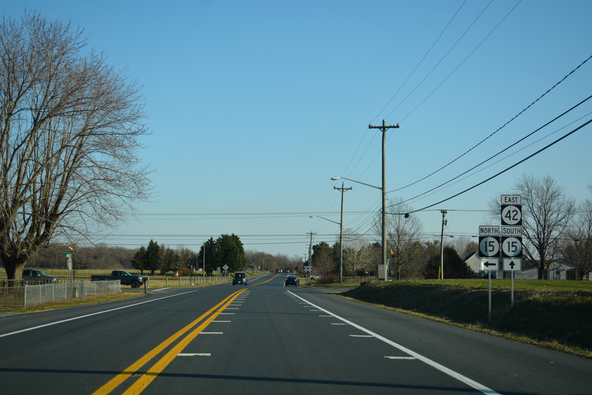
| The succeeding intersection joins SR 42 (Main Street) east with U.S. 13 (Dupont Highway) north to Smyrna and south to Dover. 12/28/16 |
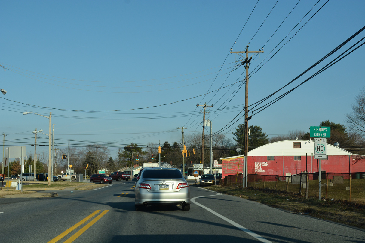
|
| The crossroads of SR 42 and U.S. 13 is named Bishop's Corner. 12/28/16 |
|
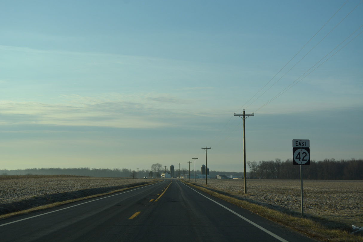
| U.S. 13 (Dupont Highway) constitutes a commercial arterial throughout northern Kent County. The bulk of through traffic uses the adjacent SR 1 (Korean War Veterans Memorial Highway). SR 42 passes over the SR 1 toll road via Fast Landing Road en route to Leipsic. 12/28/16 |
|
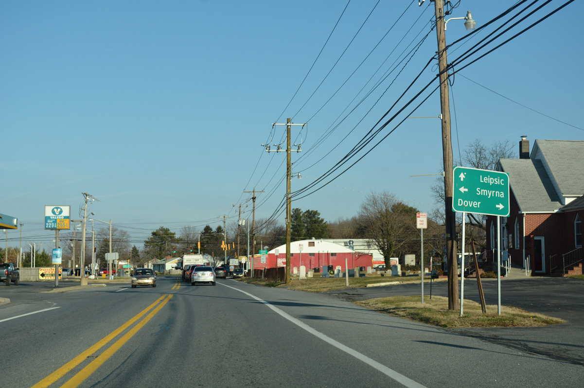
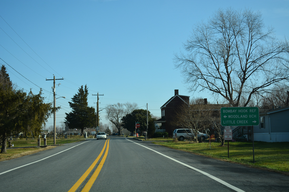
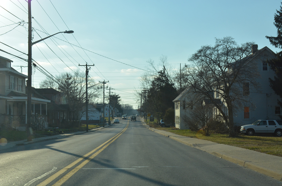
| Entering the town of Leipsic, SR 42 takes 2nd Street east to end at SR 9 (Denny Street). 01/15/17 |
|
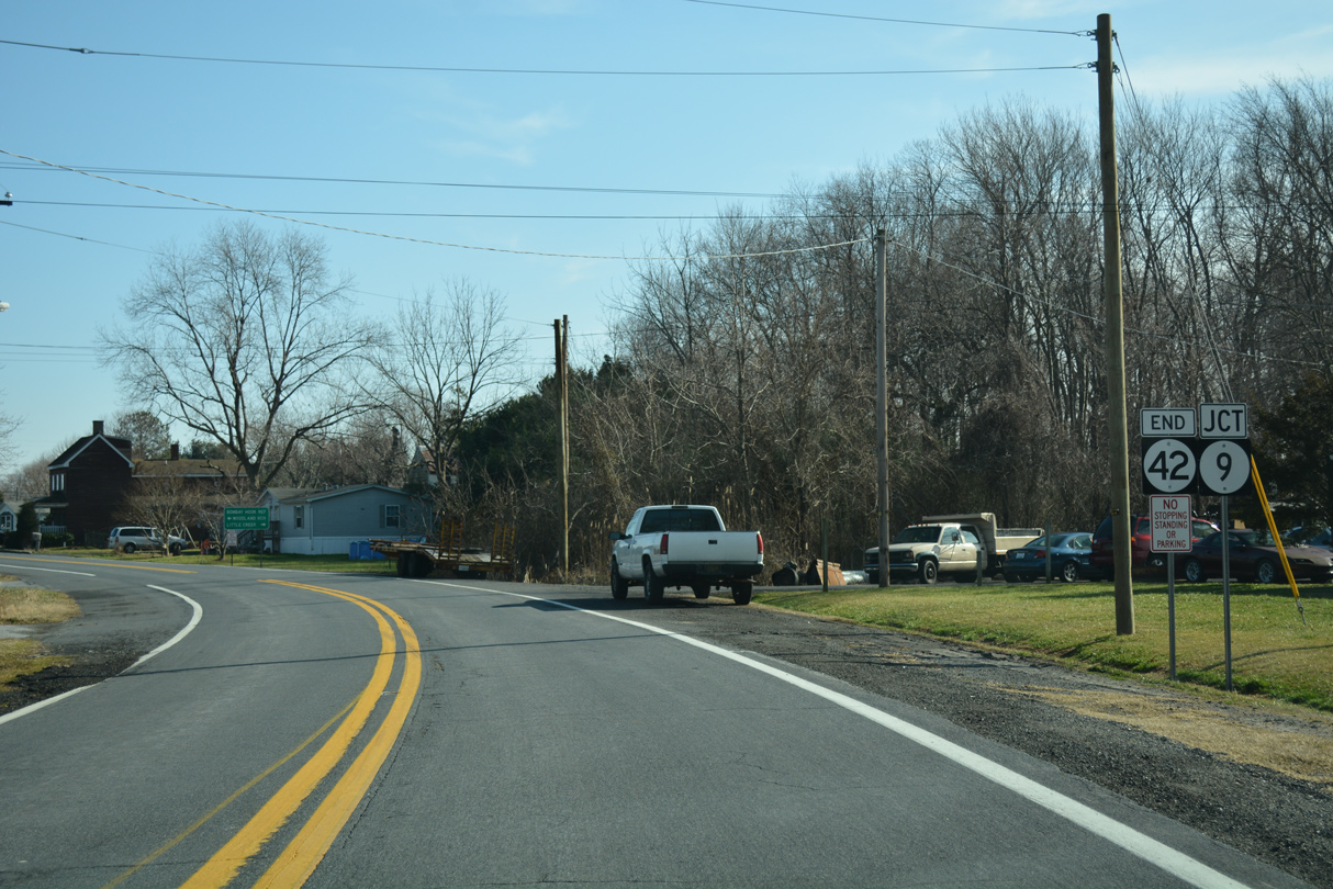
| The coastal route of SR 9 leads north to Bombay Hook National Wildlife Refuge and SR 6 east to Woodland Beach. South from Leipsic, SR 9 ventures six miles to SR 8 and the rural town of Little Creek. 01/15/17 |
|
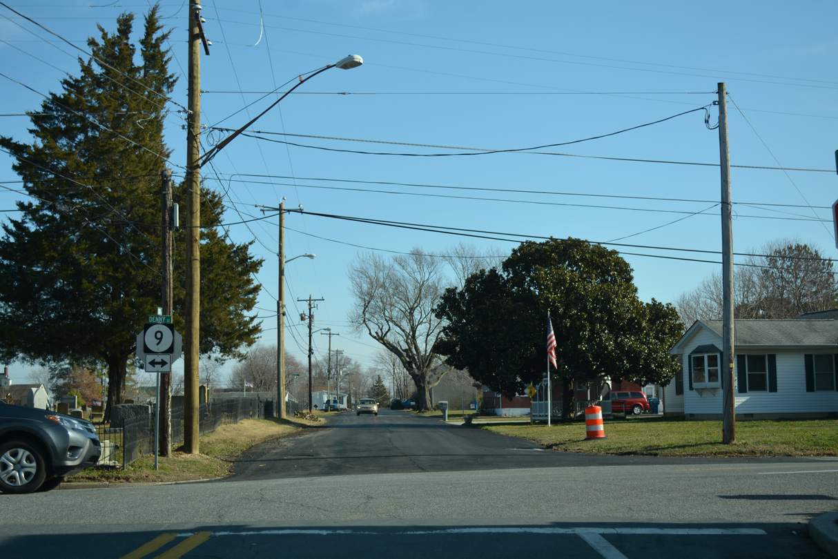
| 2nd Street extends east three blocks to Main Street as SR 9 curves southeast onto Bayside Drive. SR 9 stretches over 58 miles statewide on a route south to Dover and north to SR 2 in Wilmington. 01/15/17 |
|
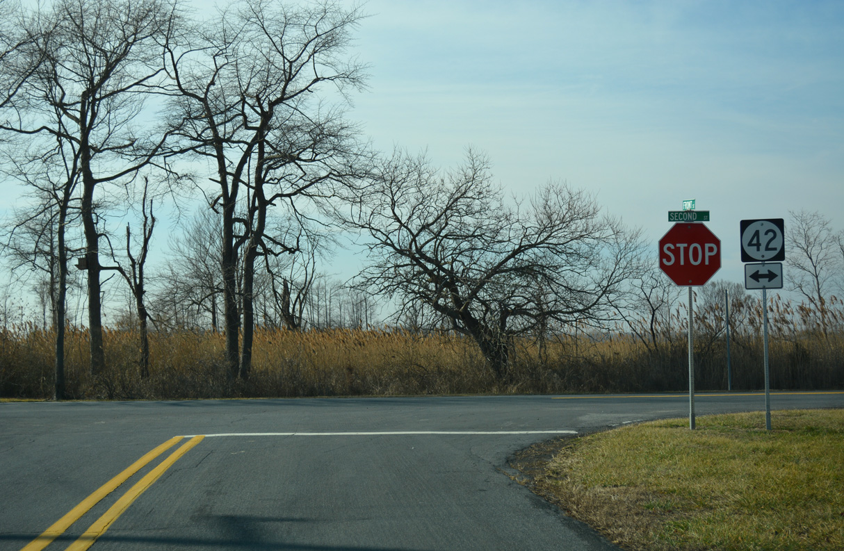
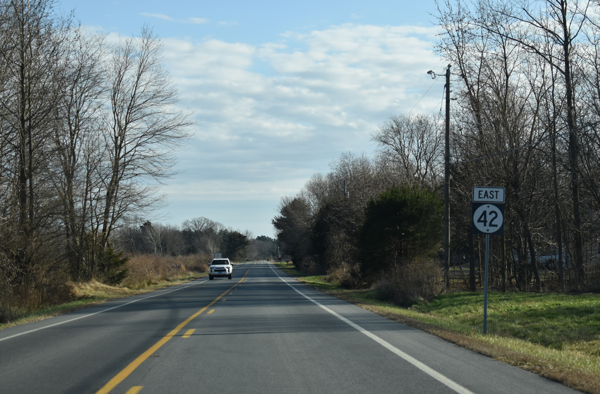
| SR 42 westbound begins along 2nd Street in the small town of Leipsic. 01/15/17 |
|
| 2nd Street curves north to intersect Front Street (Road 14A) east. SR 42 (Fast Landing Road) proceeds north from there to cross Duke Branch. 01/15/17 |
|
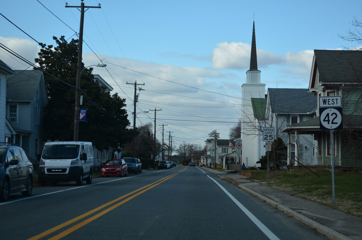
| SR 42 follows Main Street west from U.S. 13 (Dupont Highway) across the town of Cheswold over the next mile. Kenton is located six miles to the northwest. 12/28/16 |
|
| An at-grade crossing with the Norfolk Southern Railroad lies ahead as SR 42 (Main Street) continues from Central Delaware Business Park in Cheswold. 12/28/16 |
|
| A reassurance marker for SR 42 west appears beyond Commerce Street (Road 92) in Cheswold. Main Street becomes Seven Hickories Road en route to Moores Corner. 12/28/16 |
|
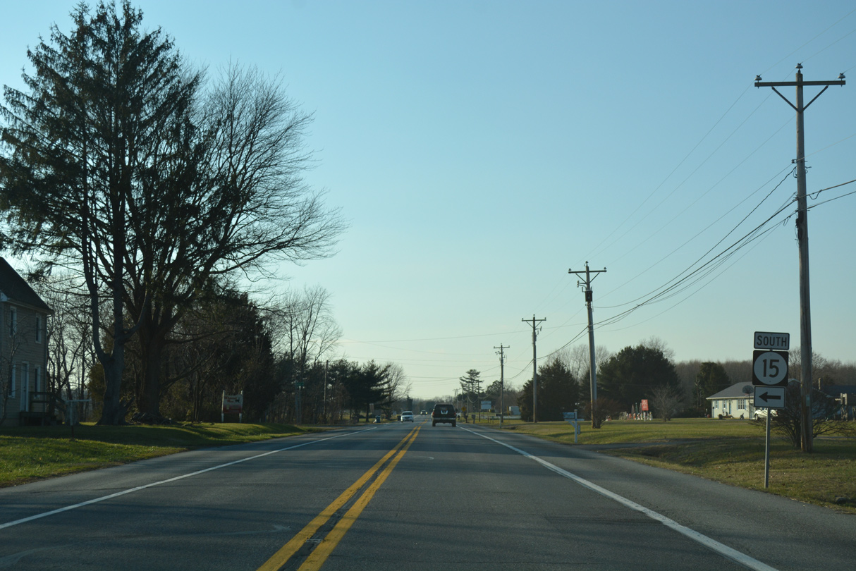
| SR 15 travels north along Kenton Road from Denneys Road and Dover to meet SR 42 at Moores Corner. 12/28/16 |
|
| A 57 mile long route, SR 15 extends south to Milford and north to Summit Bridge. SR 15 north accompanies SR 42 west from Kenton Road to Seven Hickories. 12/28/16 |
|
| Confirming marker for SR 42 (Commerce Street) west after SR 300 (Main Street) in Kenton. 12/18/22 |
|
| SR 42 (Commerce Street) continues 3.73 miles northwest from SR 300 in Kenton along Blackiston Road to Blackiston. 12/18/22 |
|
| SR 42 (Blackiston Road) travels northward from Kenton to Underwood Corner. 12/18/22 |
|
| Chance Road (Road 140) branches west from SR 42 (Blackiston Road) ahead of this reassurance shield. 12/18/22 |
|
| SR 42 north of Underwoods Corner Road (Road 94) at Underwoods Corner. 12/18/22 |
|
| Blackiston Wildlife Area spreads to the north of Underwood Corner along SR 42 (Blackiston Road). 12/18/22 |
|
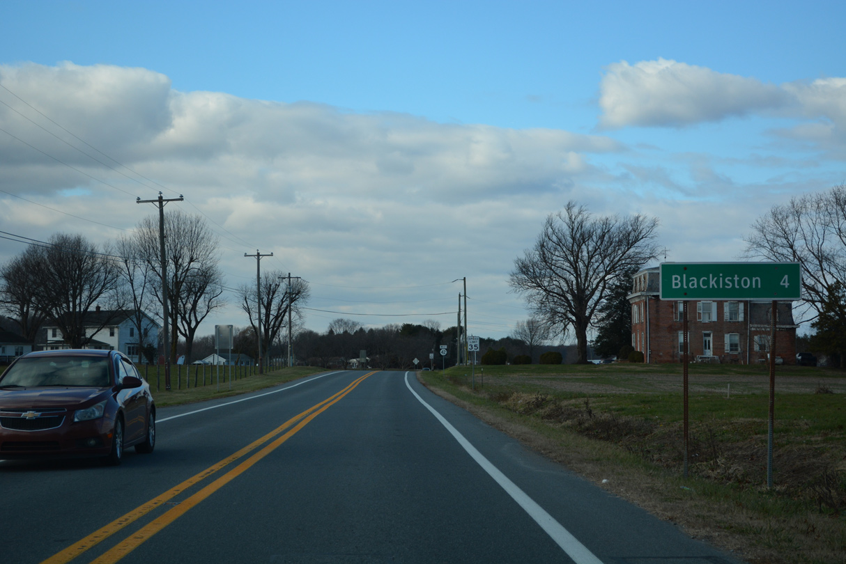
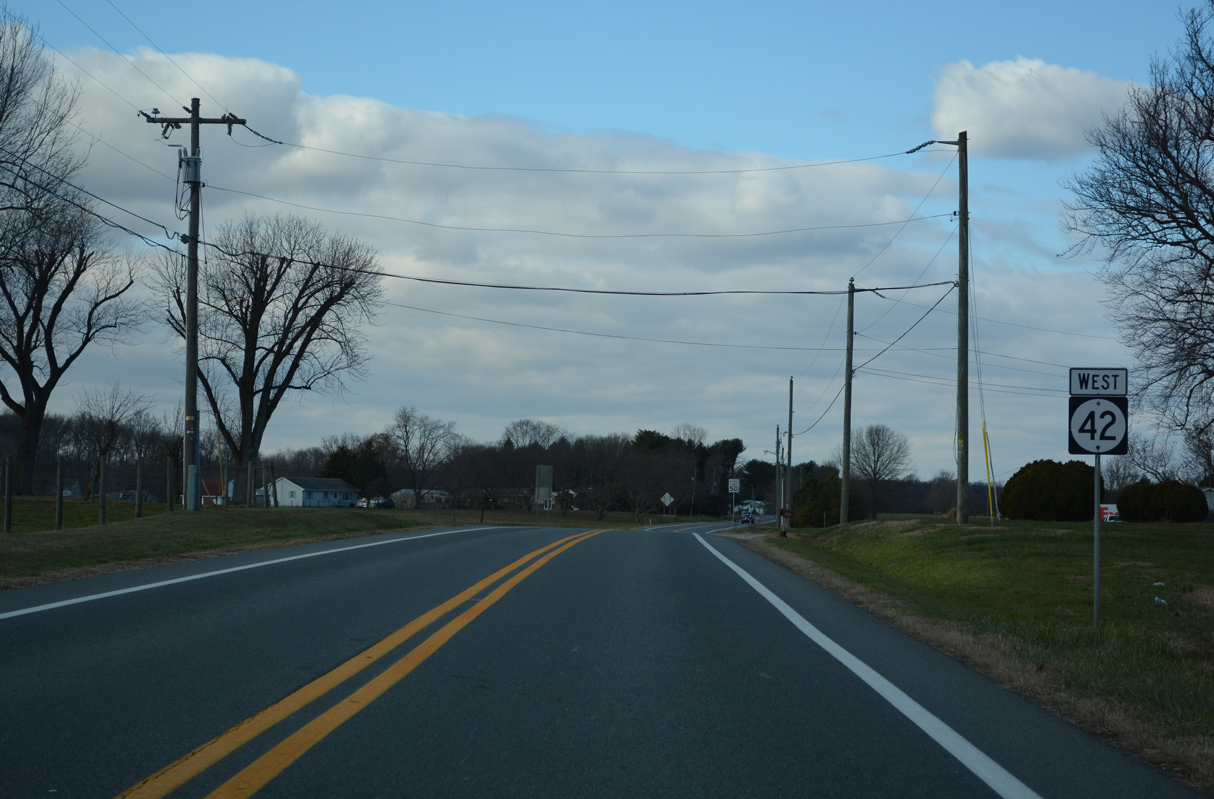
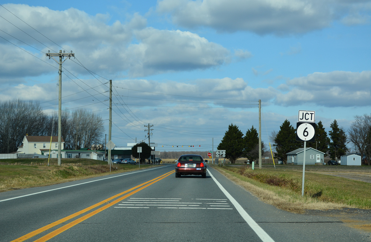
| Advancing north, SR 42 (Blackiston Road) westbound concludes at SR 6 (Millington Road). SR 6 forms a rural route west to MD 291 and Millington and east to SR 15 at Clayton. 12/18/22 |
|
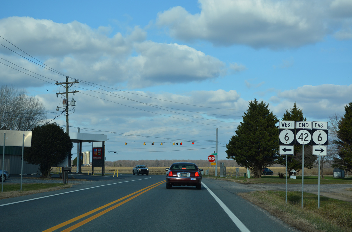
| An end shield for SR 42 west was added at the community of Blackiston by 2016. 12/18/22 |
|
| A U.S. 301 trailblazer once posted at SR 6 formerly directed motorists on SR 42 heading north toward Sassafras, Warwick or Middletown onto Longbridge Road (Road 129). Longbridge Road becomes Delaney Maryland Line Road (Road 478) in New Castle County east of MD 330 west to Massey. 04/13/04 |
|
| Front Street provides a cutoff from SR 9 (Denny Street) south to SR 42 (2nd Street) west in the town of Leipsic. 01/15/17 |
Photo Credits:04/13/04, 12/28/16, 01/15/17, 01/16/17, 12/28/20, 12/18/22 by AARoads
Connect with:
U.S. 13
State Route 6
State Route 9
State Route 11
State Route 15
State Route 300
Page Updated 01-02-2022.


 East
East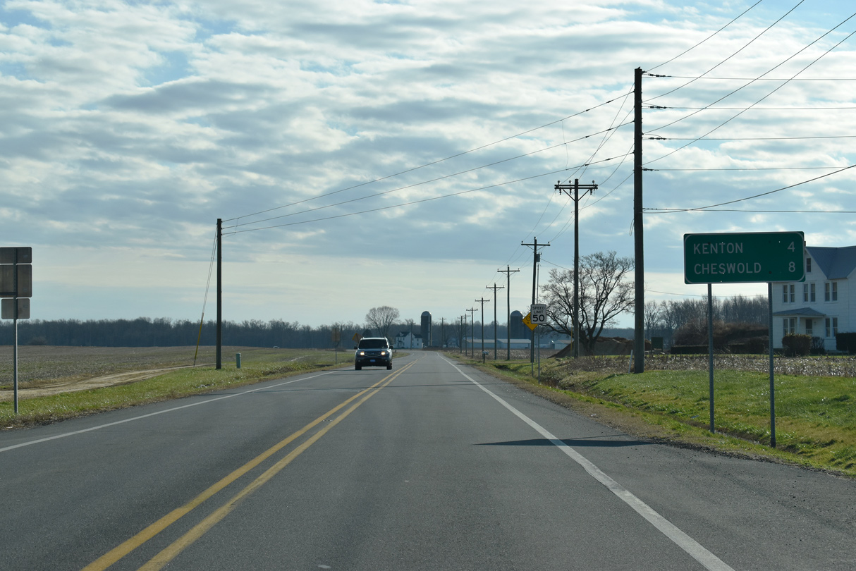

 South
South