|
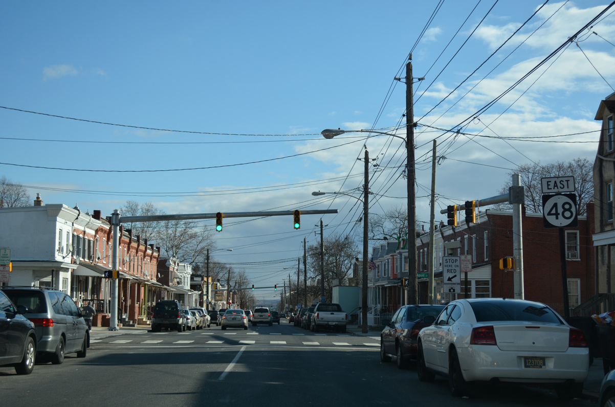
| SR 48 (Lancaster Pike) separates with SR 41 (Newport Gap Pike) at a wye intersection south of Hockessin. 12/23/18 |
|
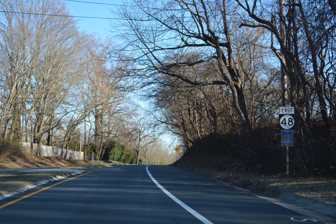
| The first confirming marker follows as SR 48 leaves the Church Hill community ahead of Loveville Road. 12/20/16 |
|
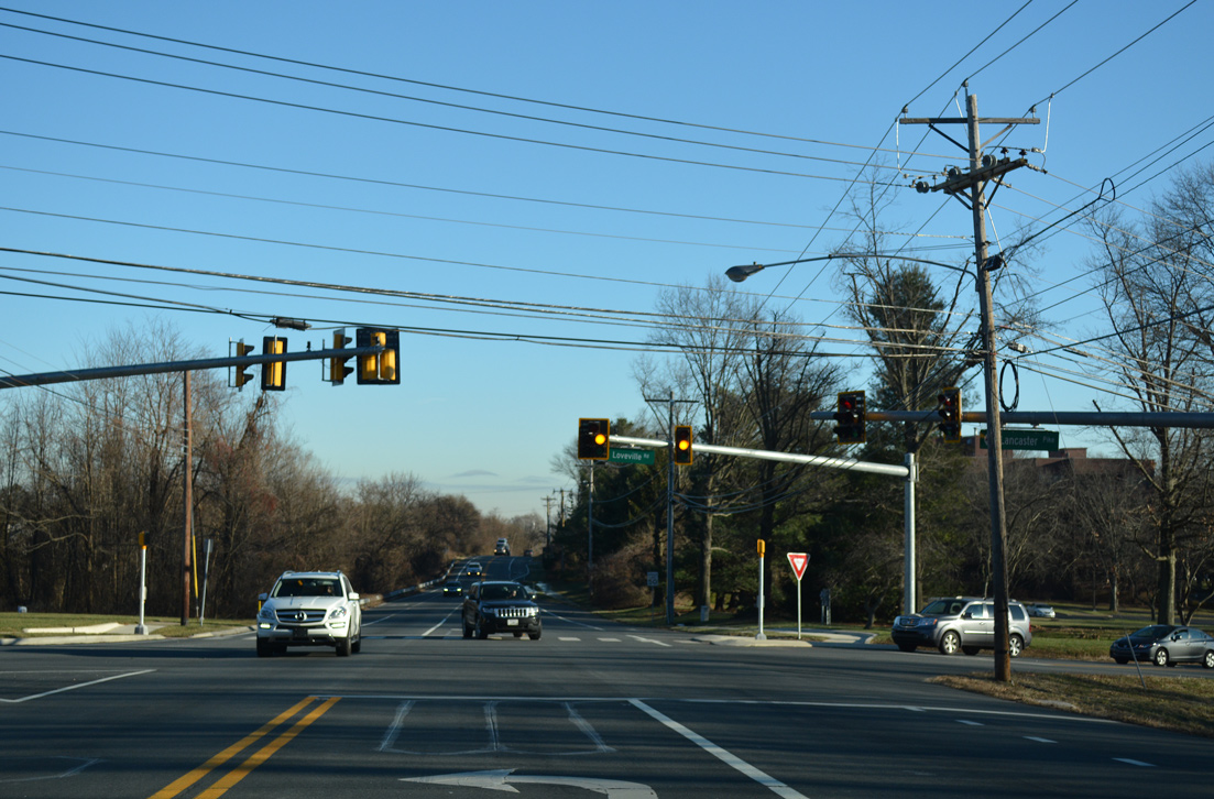
| Loveville Road continues McKennans Church Road northward from SR 41 to Old Wilmington Road near Brackenville. 12/20/16 |
|
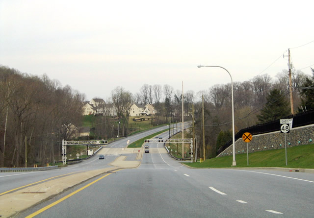
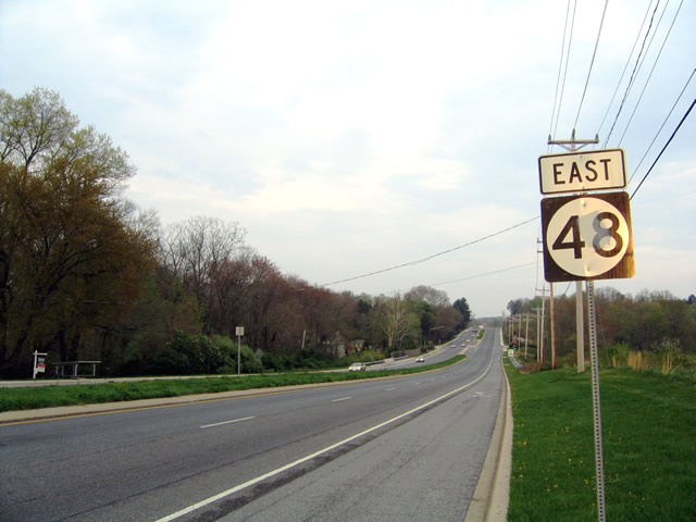
| SR 48 reassurance shield posted after the intersection with Loveville Road on Lancaster Pike eastbound. 04/24/04 |
|
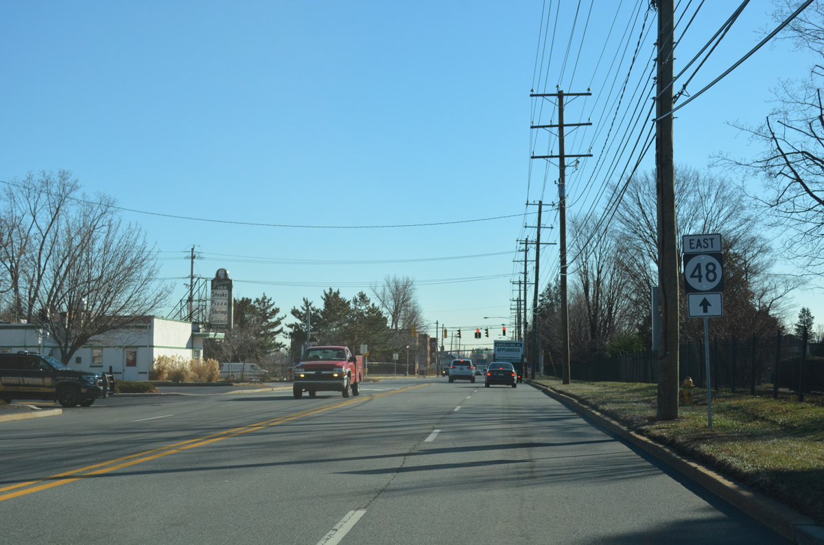
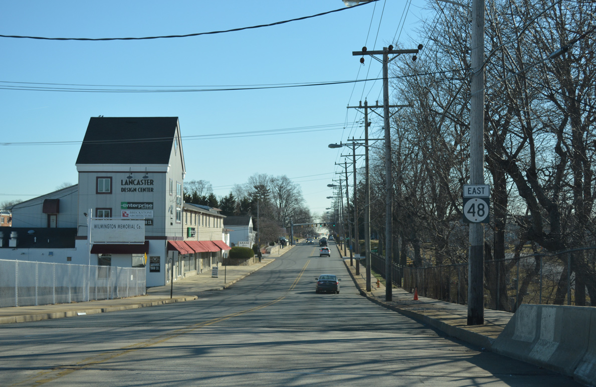
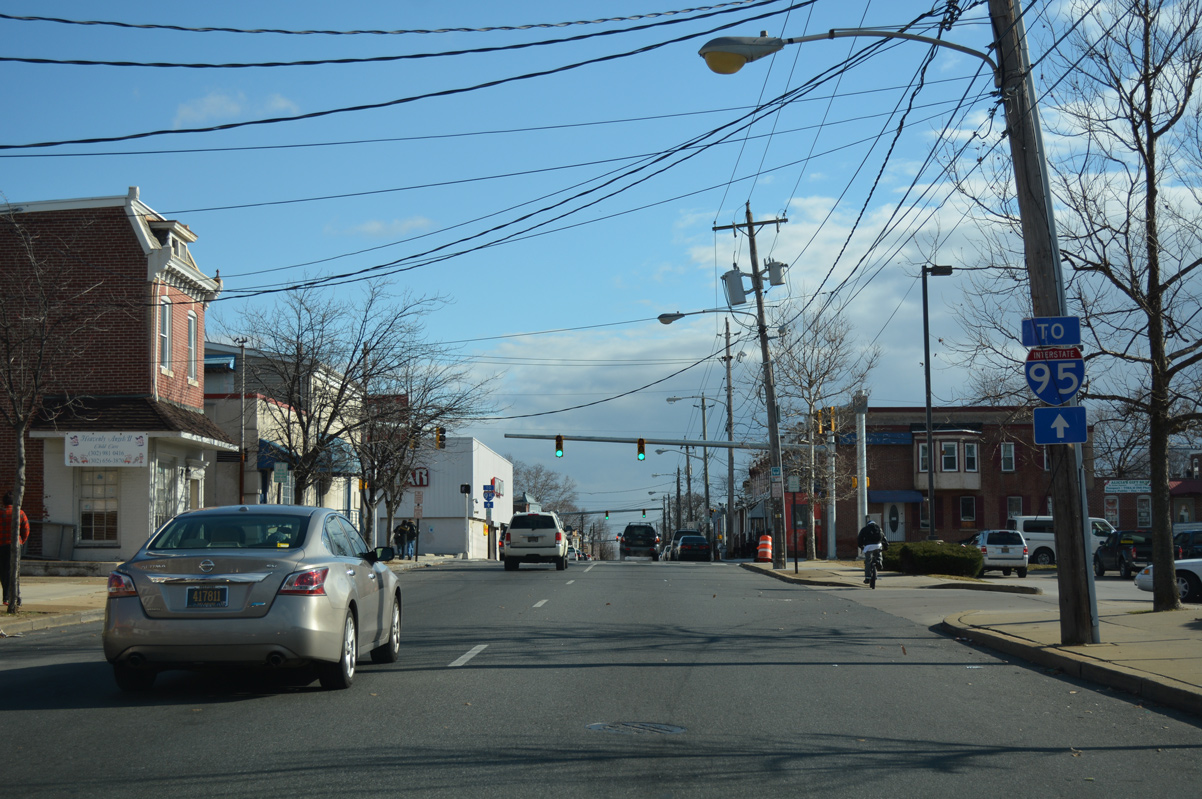
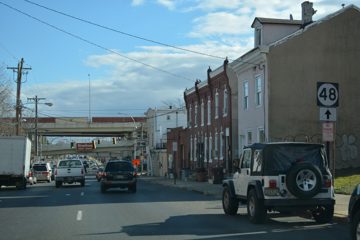
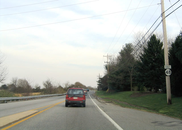
| SR 48 (Lancaster Pike) expands from two to four lanes at Hercules Road. The four lane arterial continues eastward across both the Wilmington & Western Railroad crossing and Red Clay Creek. 04/17/04 |
|
| Lancaster Pike east to Centerville Road was widened by 2000. The two roads come together at the Little Falls Centre business park. 04/17/04 |
|
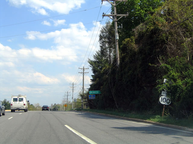
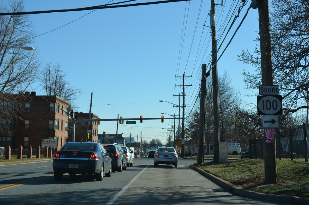
| Confirming markers for SR 48 east / SR 100 south at the start of their 0.92 mile overlap. This set of shields was missing by 2016 and finally replaced in 2020. 04/26/04 |
|
| Lancaster Pike leads both SR 48 east / SR 100 south one mile from SR 141 (Centre Road) to the city of Wilmington. 12/20/16 |
|
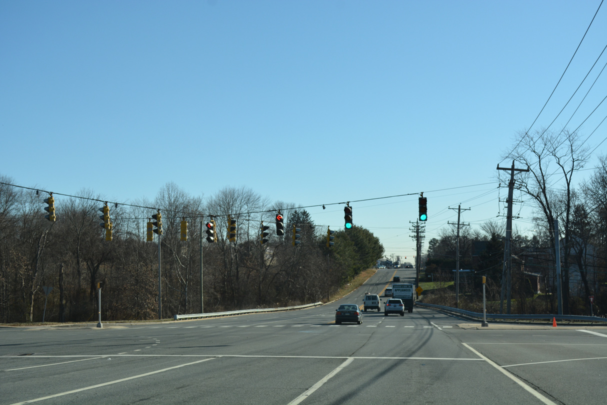
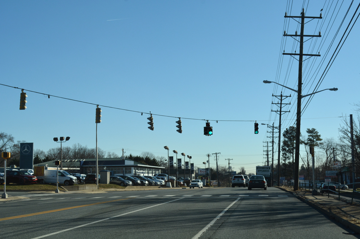
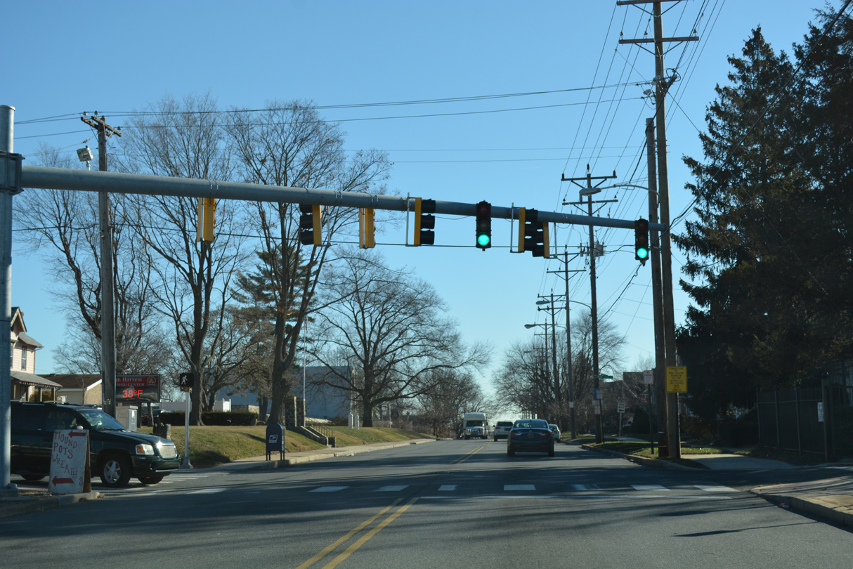
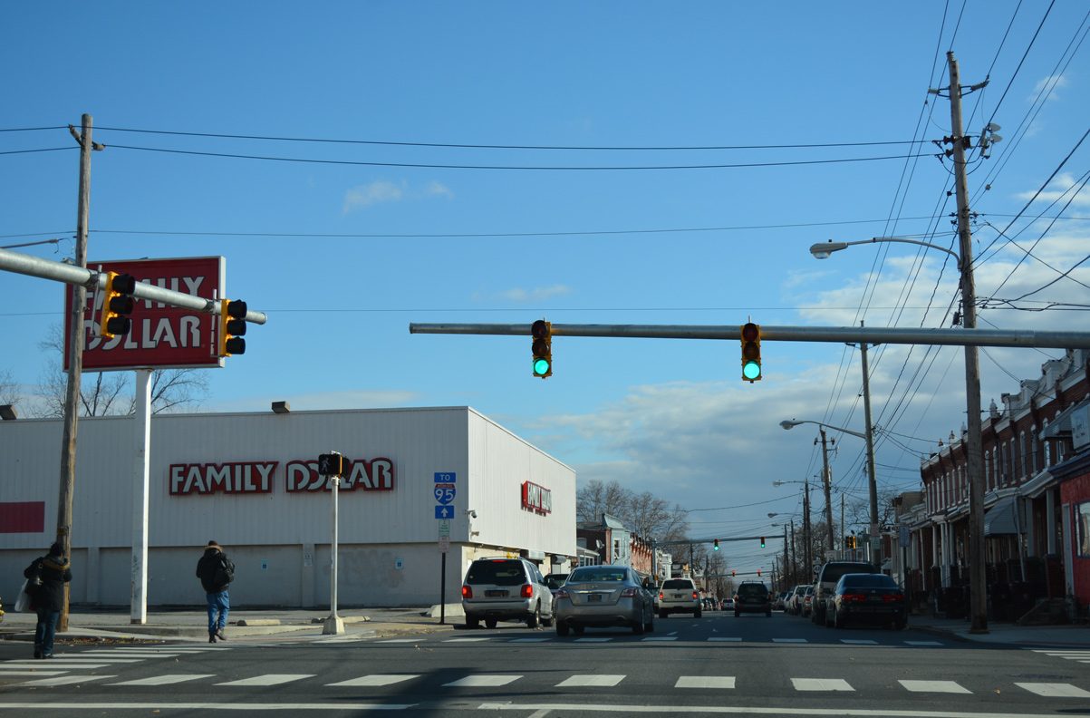
| Traffic lights operate along Lancaster Pike at the entrances to both Barley Mill Plaza north and Delledonne Corporate Center south. 12/20/16 |
|
| Advancing east, SR 48/100 (Lancaster Avenue) intersect A Street at Lancaster Pike Market. 12/20/16 |
|
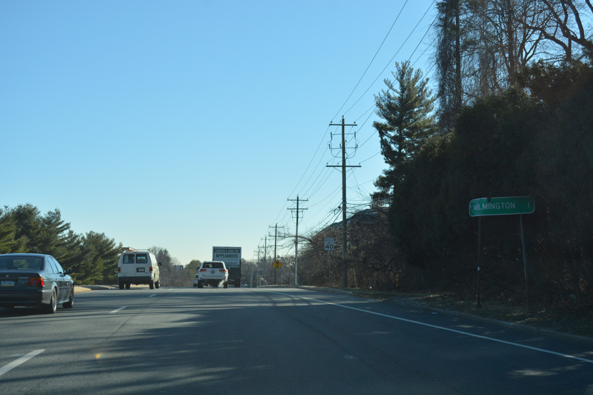
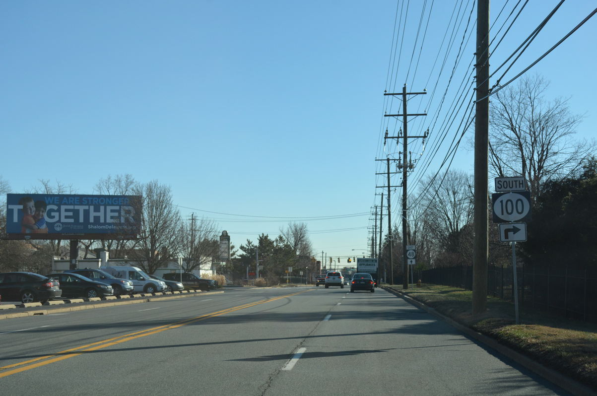
| Nearing the Wilmington city line and the southbound split of SR 100 from SR 48 (Lancaster Pike) east. 12/20/16 |
|
| SR 48 follows Lancaster Avenue east through the Greenhill neighborhood of Wilmington toward Downtown while SR 100 joins South Dupont Road to Elsmere. 12/20/16 |
|
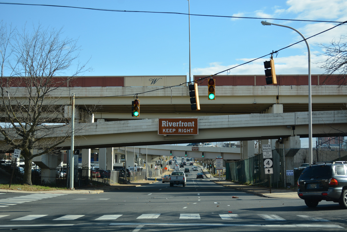
| SR 100 (Dupont Road) concludes 1.64 miles to the south at SR 4 (Maryland Avenue) in Richardson Park. 12/20/16 |
|
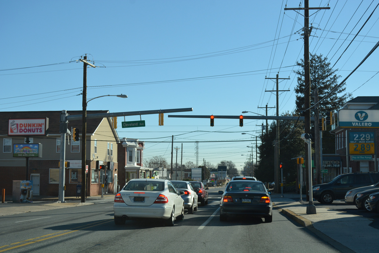
| Cleveland Avenue runs north to the Westmoreland neighborhood and Mack Park and south from SR 48 (Lancaster Avenue) to Colonial Park, Colonial Heights and SR 100 (South Dupont Road). 12/20/16 |
|
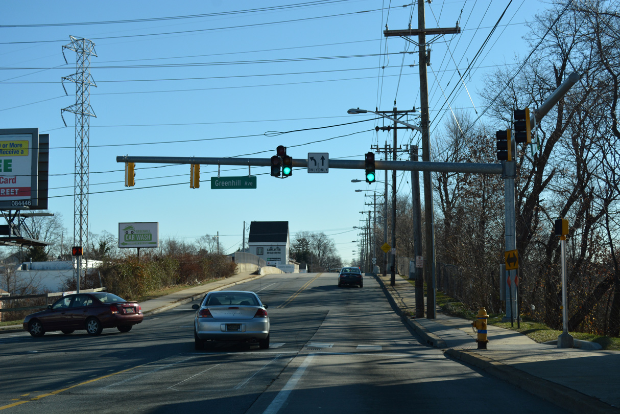
| Greenhill Avenue comprises a through street north from SR 48 (Lancaster Avenue) to Wawaset Heights, Wawaset and Rockford Park in northwest Wilmington. 12/20/16 |
|
| Advancing east from the CSX Railroad underpass, SR 48 travels by Cathedral Cemetery to the Union Park Gardens neighborhood. 12/20/16 |
|
| SR 48 (Lancaster Avenue) east intersects the four block section of Woodlawn Avenue north to 4th Street and Woodlawn Park at this signal. Woodlawn Avenue resumes north from 7th Street to Forty Acres and Rockford Park. 12/20/16 |
|
| Approaching SR 2 (Union and Lincoln Streets) on SR 48 east. Crossing Lancaster Avenue here is Bancroft Parkway. The parkway migrates northward from Canby Park through the Flats neighborhood to Eighth Street. Historically Bancroft Parkway was once considered as an alternative for the Interstate 95 corridor through the city. 12/20/16 |
|
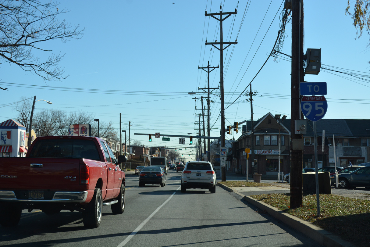
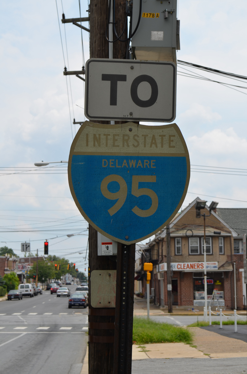
| The first in a series of Interstate 95 trailblazers along SR 48 east appears ahead of Union Street (SR 2 west). Lancaster Avenue provides the main route from the Flats and Hilltop communities to the north-south freeway. 12/20/16 |
|
| The previous I-95 trailblazer at Lancaster Avenue and Union Street was a 1960s install dating from the original completion of the freeway. It was replaced by 2016. 07/31/13 |
|
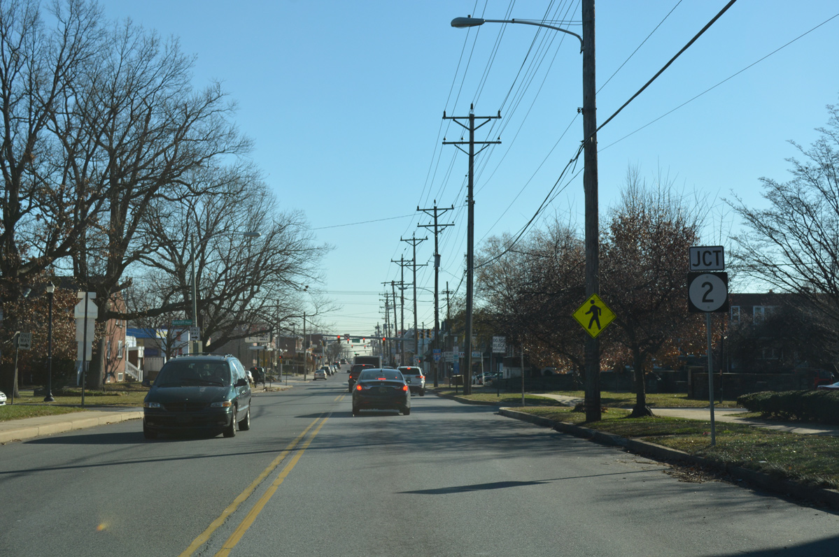
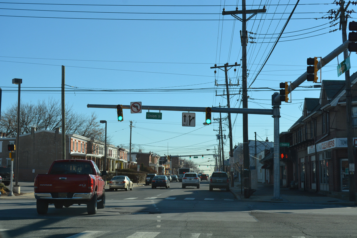
| SR 2 is unmarked along SR 48 east at both Union Street west and Lincoln Street east. SR 2 joins Wilmington with neighborhood Elsmere along a 10.81 mile route west from SR 52 to SR 273 in Newark. 12/20/16 |
|
| Lancaster Avenue switches to one way traffic from Union Street (SR 2 west) south to I-95. SR 48 west follows adjacent 2nd Street to Union Street west. This confirming marker stands at Lincoln Street, which takes SR 2 eastbound to Little Italy and SR 52 (Pennsylvania Avenue). 12/30/16 |
|
| A second I-95 trailblazer on SR 48 east precedes the intersection with Scott Street. 12/30/16 |
|
| Scott Street heads south through the Bayard Square neighborhood to Canby Park and north to Little Italy. 12/30/16 |
|
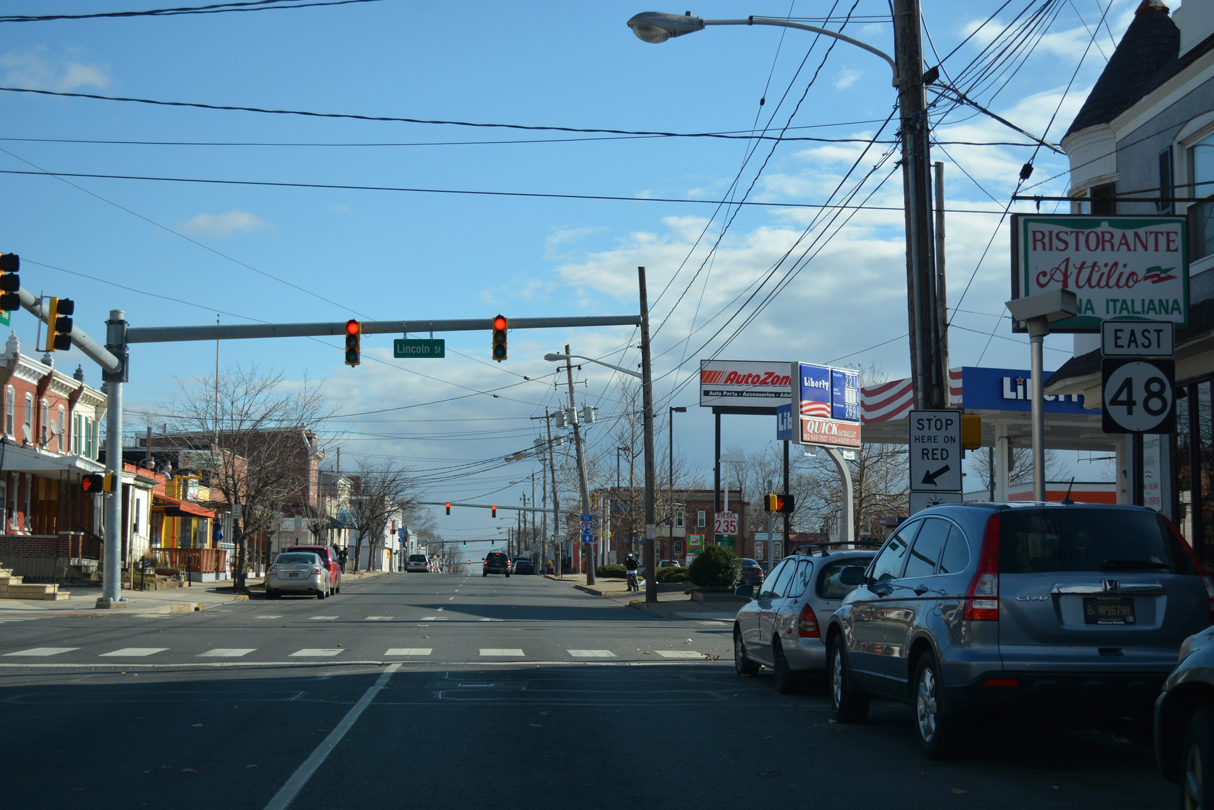
| SR 48 reassurance shield posted ahead of the intersection with Dupont Street. 12/30/16 |
|
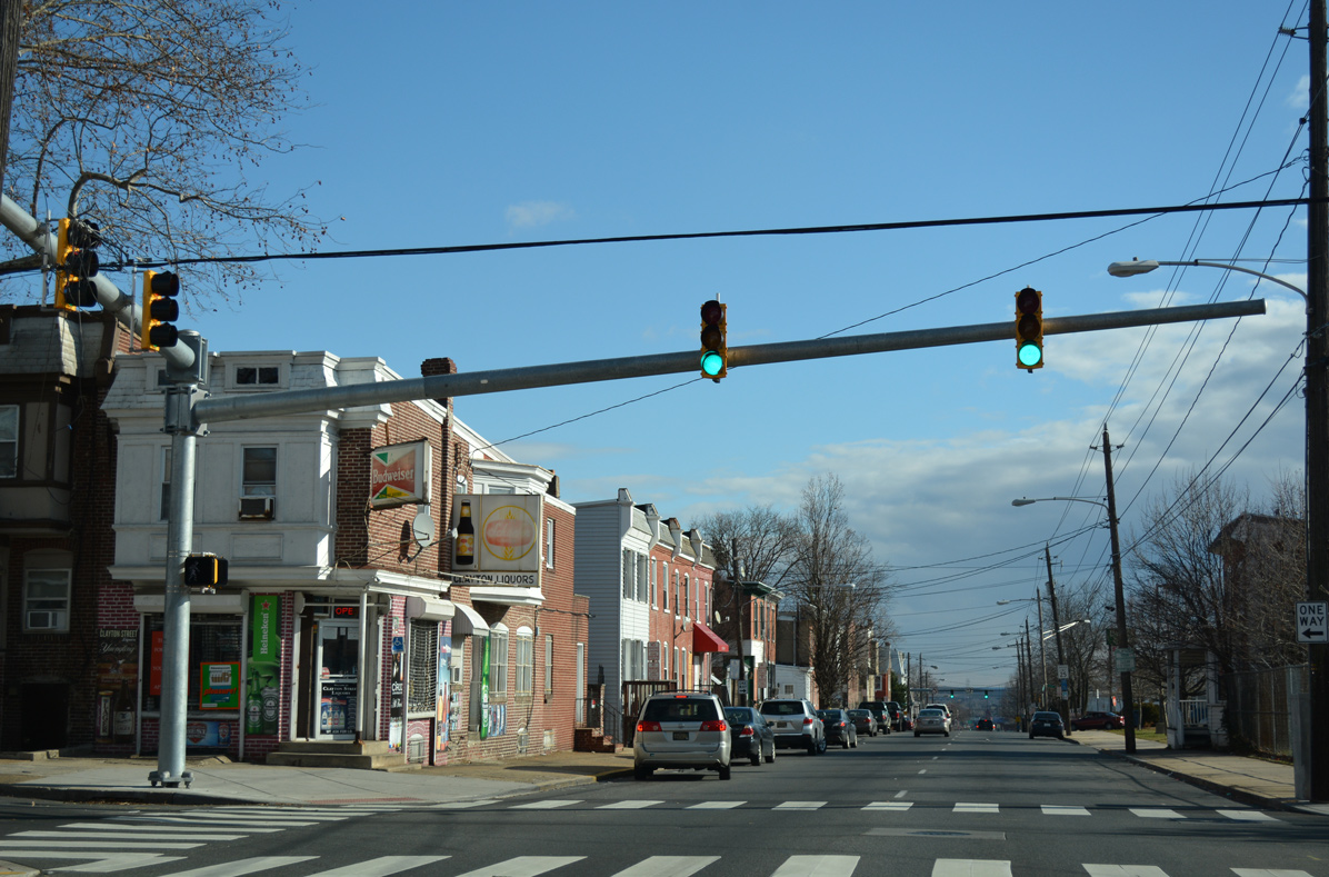
| Clayton Street flows north from the St. Elizabeth Area and Bayard Square to SR 48 at this stoplight. Northward, Clayton Street advances to St. Francis Hospital and West Hill. 12/30/16 |
|
| Broom Street provides an urban collector south from SR 48 to SR 4 (Maryland Avenue) at the Browntown section of the city. Broom Street switches from one way southbound to two-way traffic south of Lancaster Avenue. 12/30/16 |
|
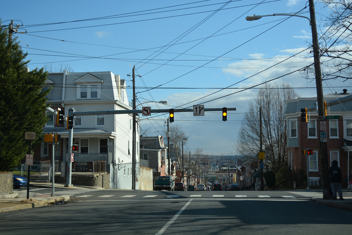
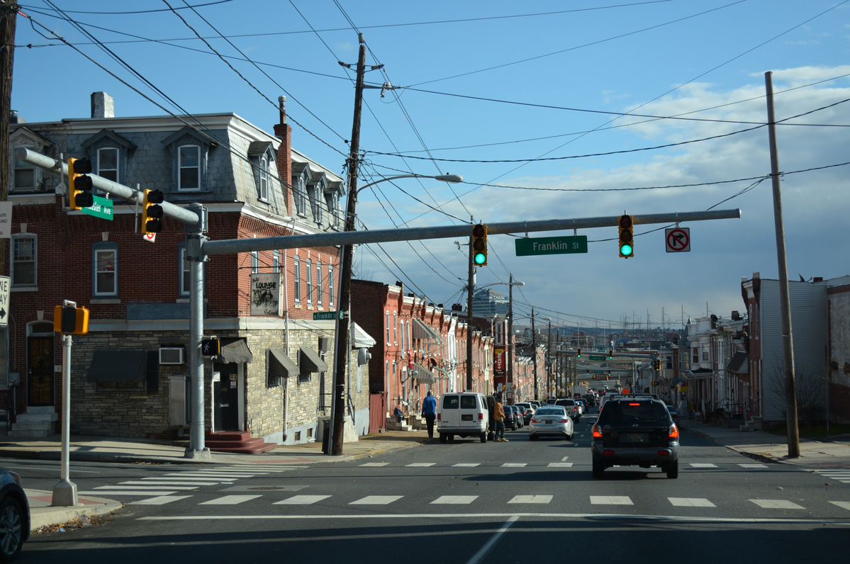
| SR 48 descends toward the Christina River beyond Broom Street. The ensuing traffic light operates at Franklin Street. 12/30/16 |
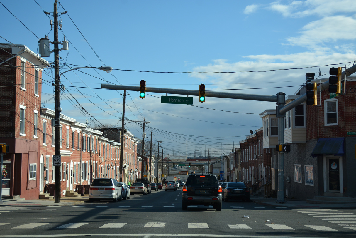
|
| One block further east, SR 48 intersects Harrison Street at the Hedgeville community. Harrison Street is the first of the Presidential street name series from the west. 12/30/16 |
|
| Interstate 95 on the Wilmington Viaduct comes into view on the two block approach of Lancaster Avenue east to Jackson Street and the southbound on-ramp. 12/30/16 |
|
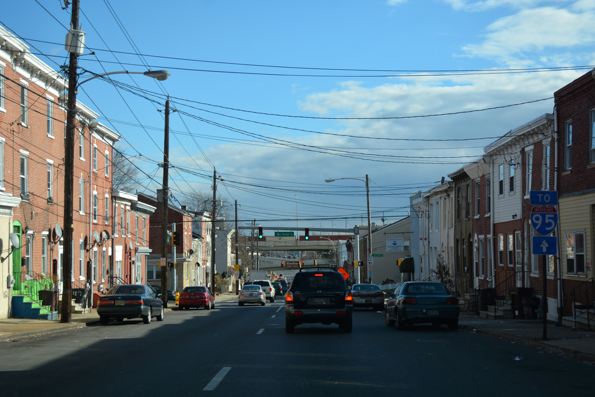
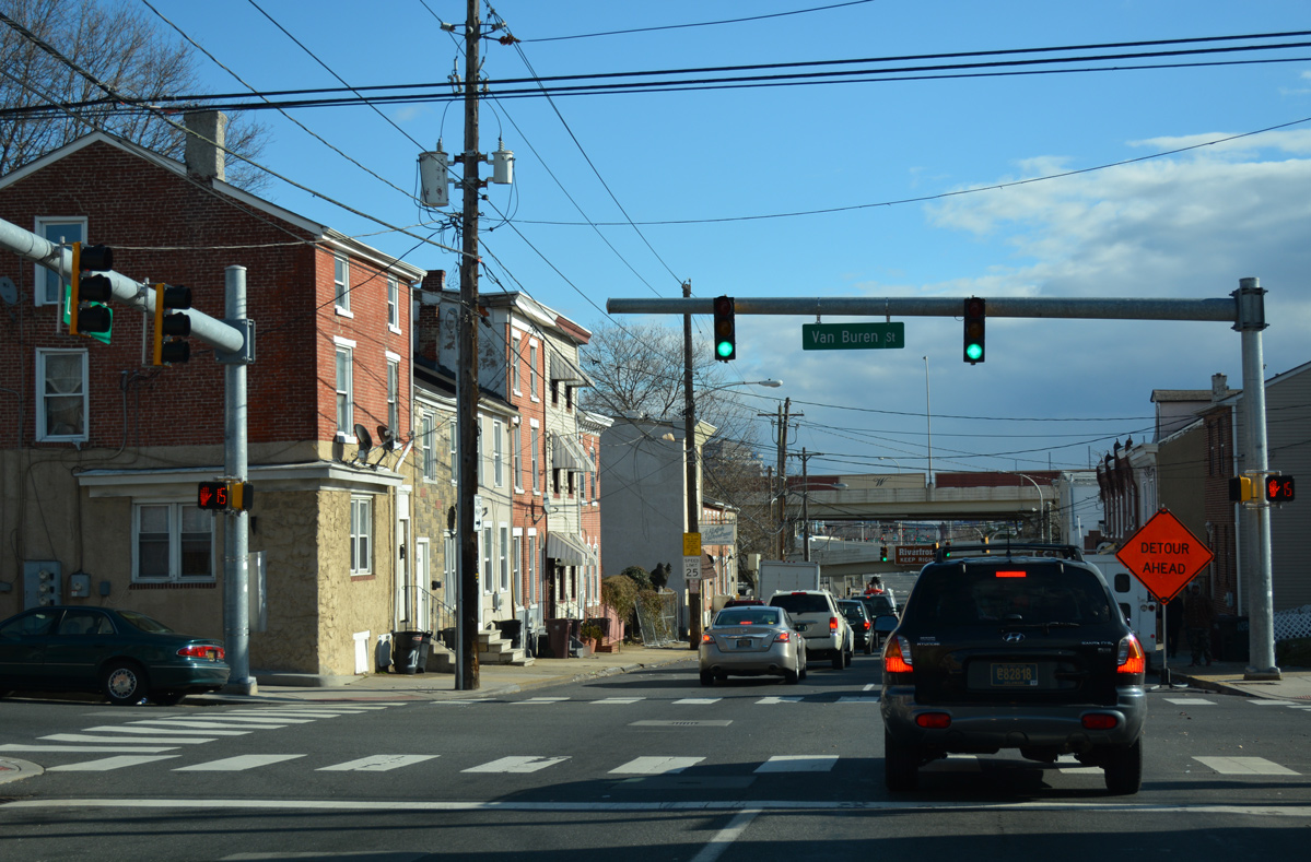
| Van Buren Street flows north from Hedgeville and SR 48 (Lancaster Avenue) to Cool Spring and Happy Valley. 12/30/16 |
|
| SR 48 continues past the Wilmington Viaduct onto Martin Luther King, Jr. Boulevard to LOMA (Lower Market Area). 12/30/16 |
|
| Traffic headed to Interstate 95 is directed to remain along SR 48 (Lancaster Avenue) east to Adams Street. 12/30/16 |
|
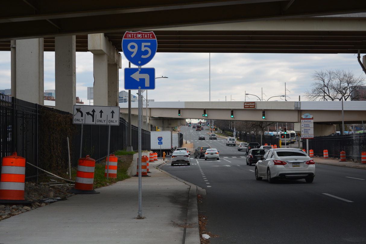
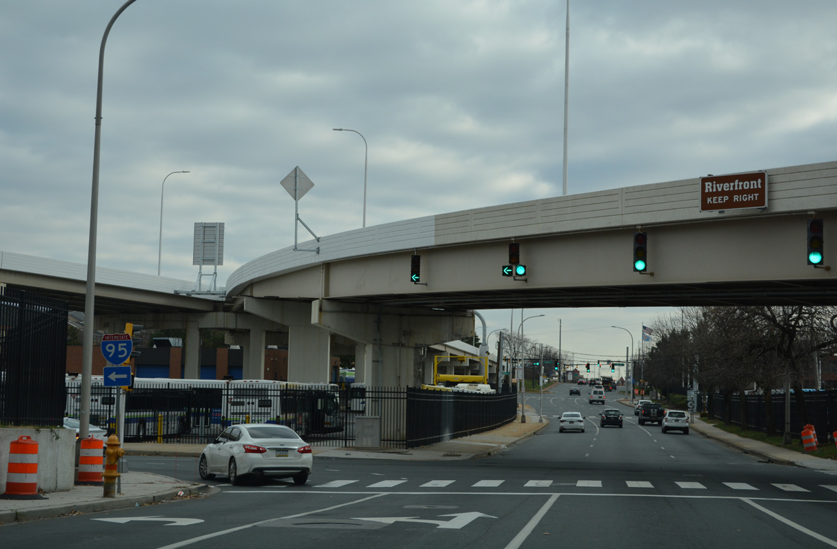
| The adjacent entrance ramp for Interstate 95 south from Jackson Street was removed during the 2021-22 Wilmington Viaduct replacement project. SR 4 west begins from SR 48 (2nd Street) westbound along Monroe Street in two blocks. 12/30/16 |
|
| SR 48 (Lancaster Avenue) expands to three lanes below the Wilmington Viaduct. Traffic bound for I-95 south is directed onto Adams Street north to the entrance ramp from SR 48 (2nd Street) westbound. 12/19/22 |
|
| A pair of flyovers were constructed in 1978 to link Downtown Wilmington via Martin Luther King, Jr. Boulevard west to Interstate 95. The ramps pass over SR 48 east at Adams Street, where Lancaster Avenue becomes MLK Boulevard. 12/19/22 |
|
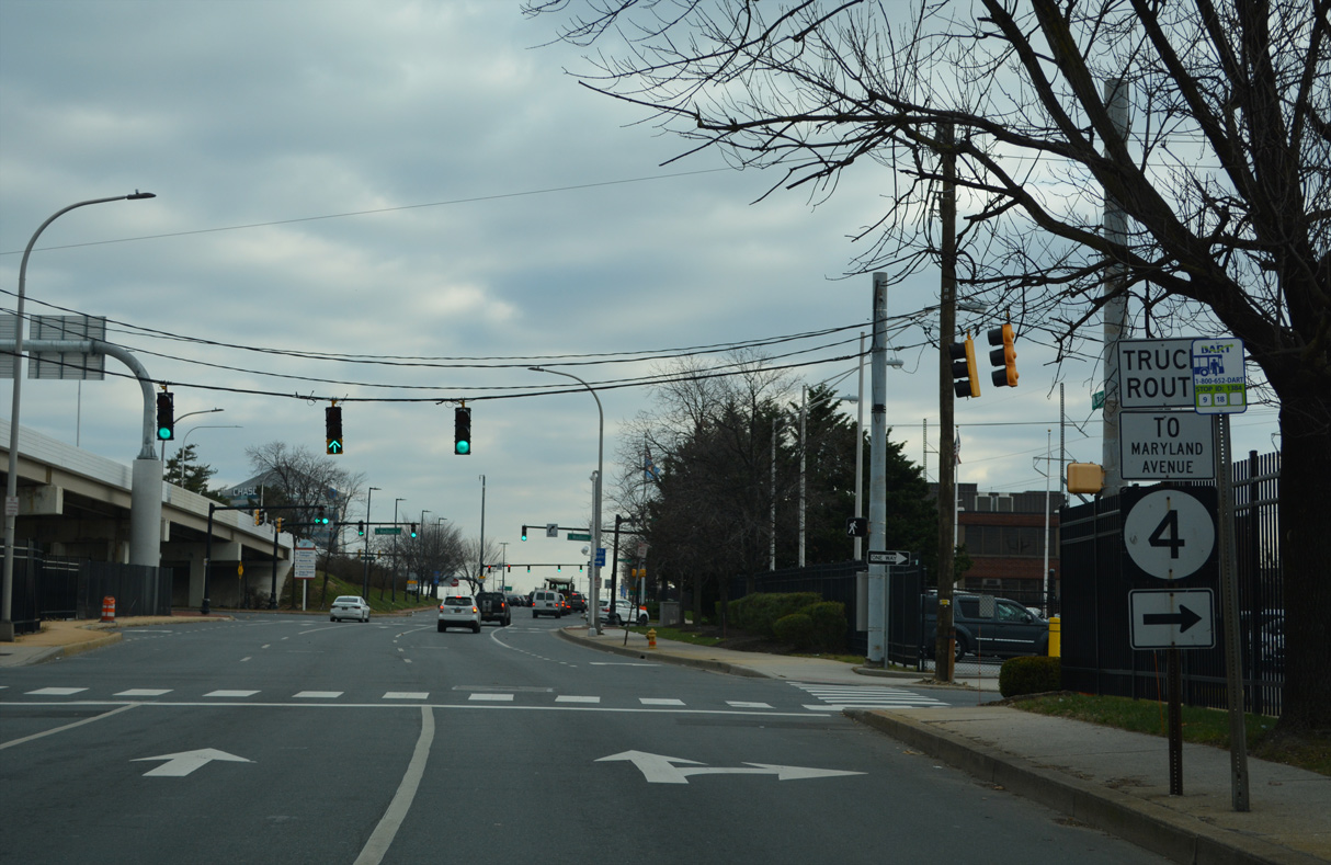
| Monroe Street leads SR 4 west by the DART (Delaware Area Regional Transit) maintenance and bus yard to Maryland Avenue. Maryland Avenue (SR 4) rises west to Browntown and the St. Elizabeth Area to connect Wilmington with Richardson Park and Newport. 12/19/22 |
|
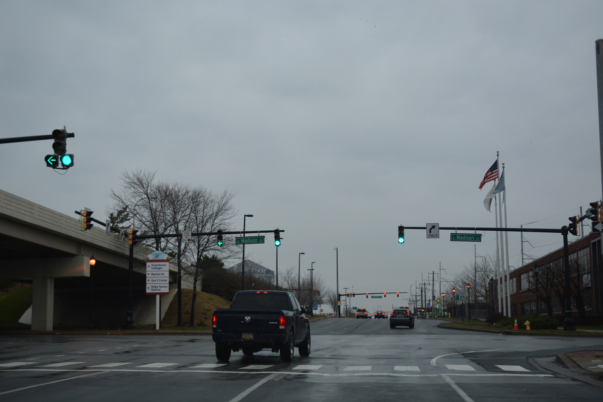
| SR 4 (Maryland Avenue) west converges with SR 48 (Martin Luther King, Jr. Boulevard) east at Madison Street. SR 4 ends one block to the north at Madison and 2nd Streets. 12/18/16 |
|
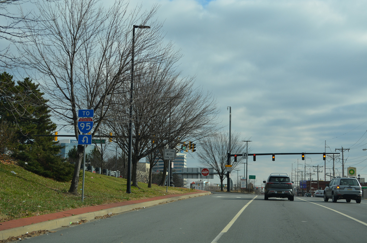
| A U-turn at Justison Street connects SR 48 east with the adjacent high speed ramps for Interstate 95 from MLK Boulevard west. 12/19/22 |
|
| Justison Street provides a second route south to the Christina Riverfront from Martin Luther King, Jr. Boulevard east. 12/19/22 |
|
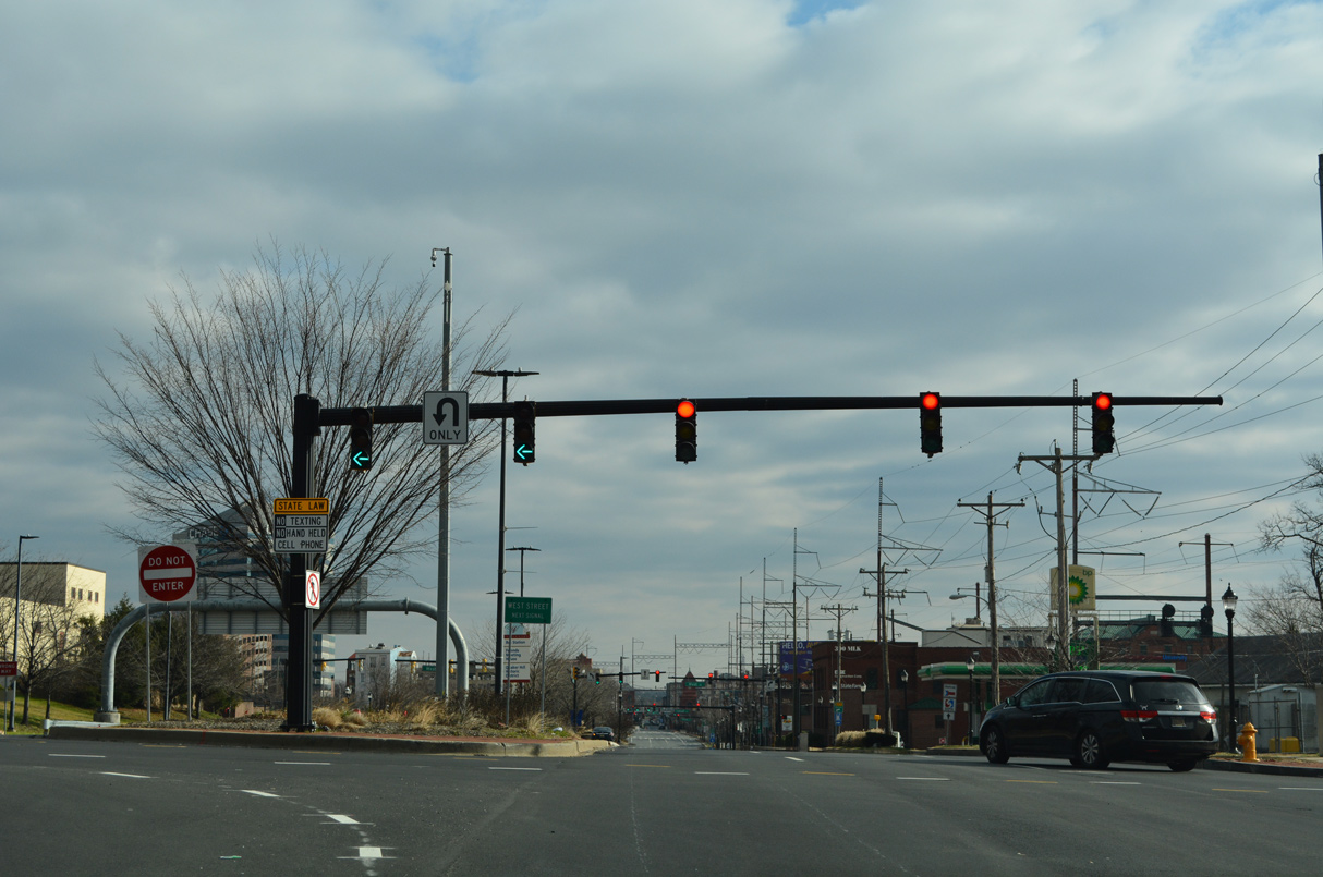
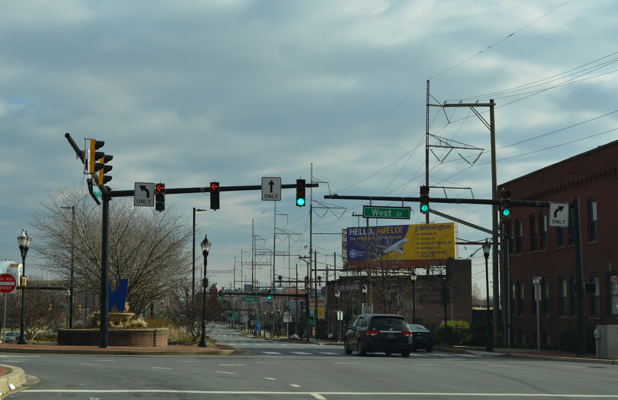
| West Street arcs northeast from Justison Street and intersects MLK Boulevard ahead of Quaker Hill. 12/19/22 |
|
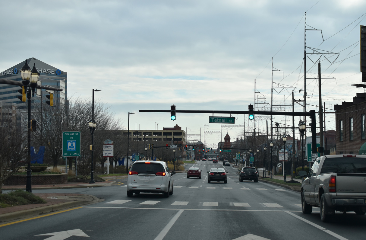
| MLK Boulevard constitutes a six lane, landscaped boulevard from West Street to Market Street. AMTRAK and SEPTA railroad tracks parallel the south side of SR 48 east at Tatnall Street. 12/22/20 |
|
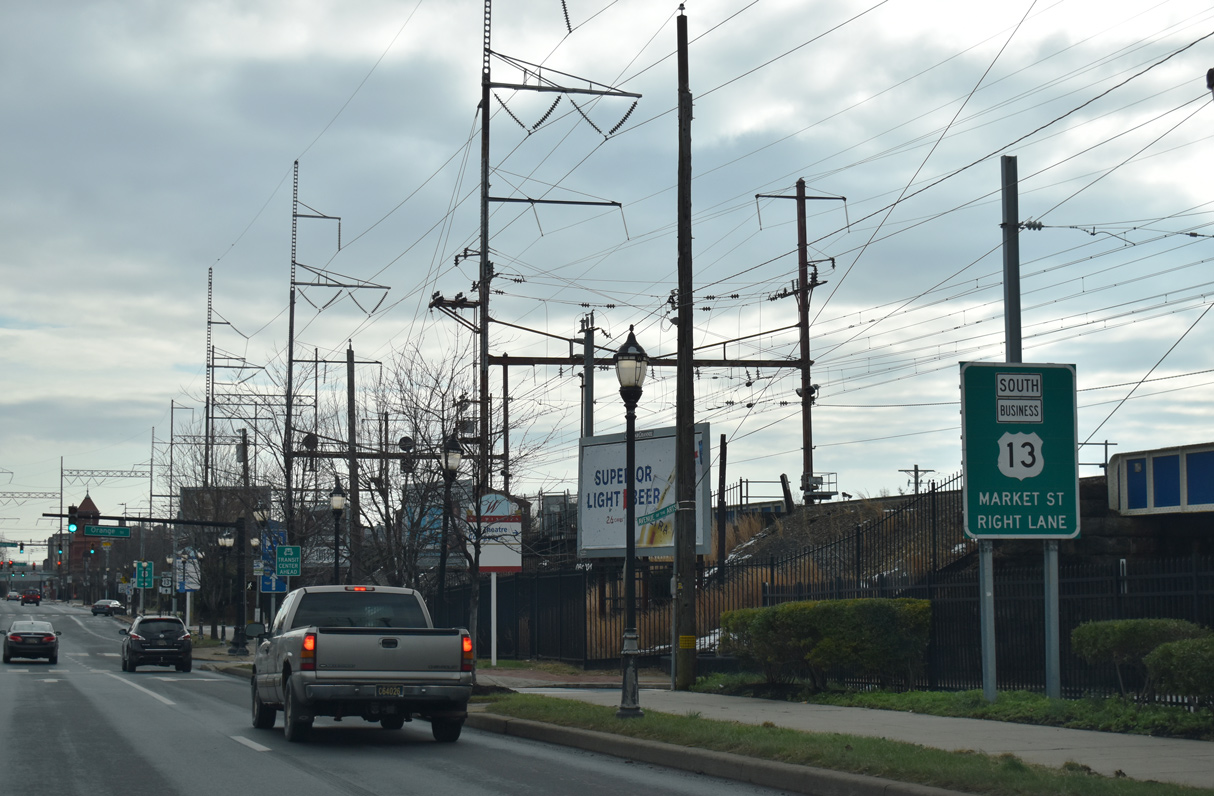
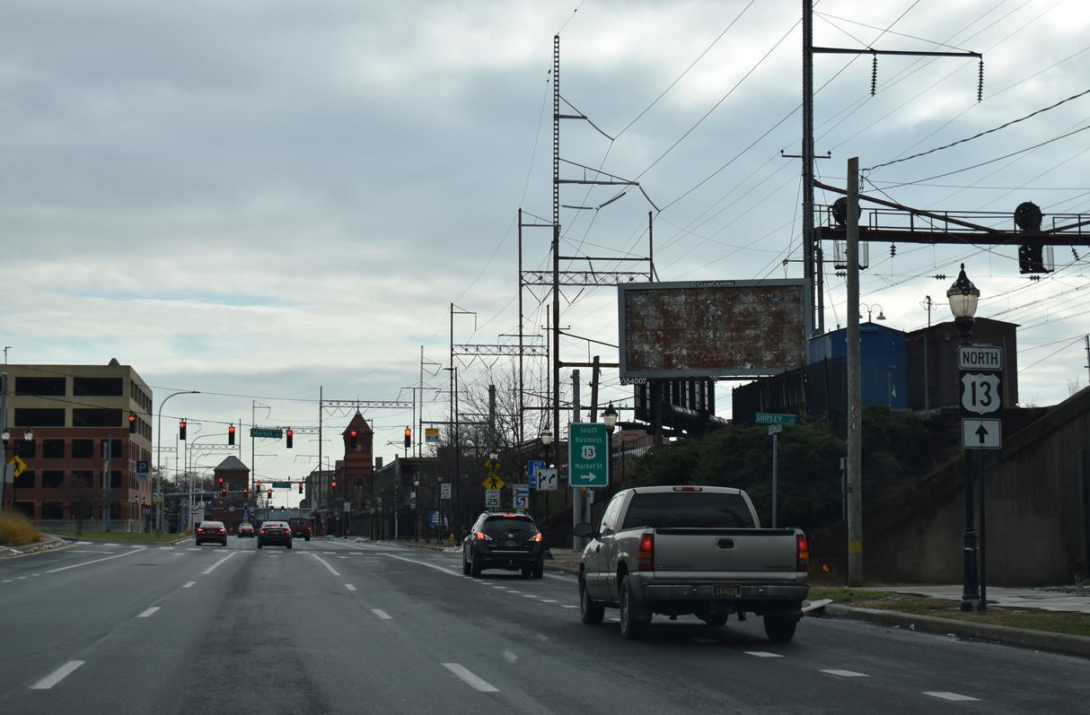
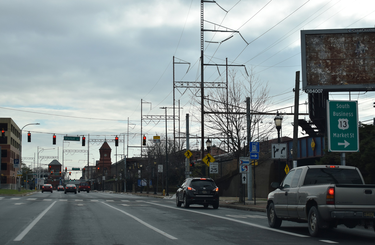
| A guide sign for U.S. 13 Business guide precedes S Market Street. U.S. 13 Business follows King Street south through Downtown and LOMA to S Market Street at SR 48 (Martin Luther King, Jr. Boulevard). 12/22/20 |
|
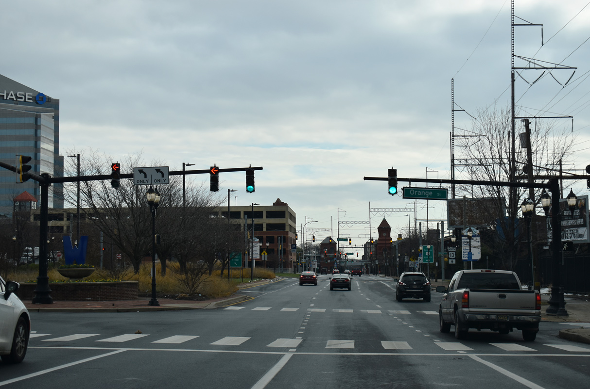
| Orange Street heads north from the Christina River to Quaker Street and western reaches of the central business district. 12/22/20 |
|
| Missing a business banner, this U.S. 13 trailblazer directs motorists to remain along MLK Boulevard east to Walnut Street. Walnut Street carries the northbound direction of U.S. 13 Business to the Upper East Side and 16th Street. 12/22/20 |
|
| U.S. 13 Business southbound passes below the adjacent AMTRAK Wilmington Station to the South Market Street Bridge across the Christina River. U.S. 13 Business joins Downtown with I-495 near Minquadale and Dupont Highway south. 12/22/20 |
|
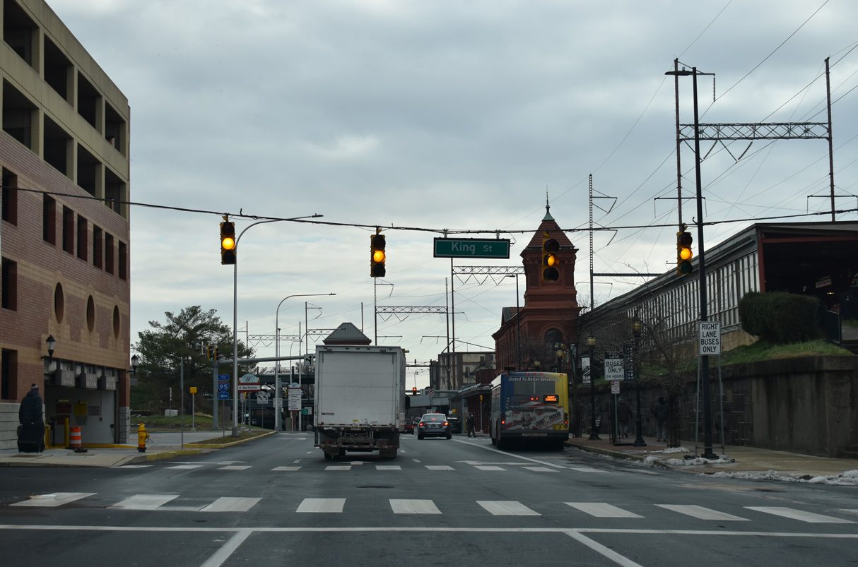
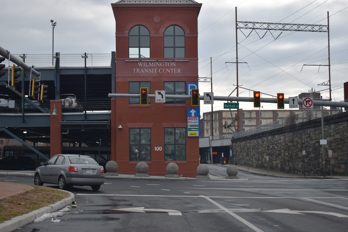
| King Street separates from U.S. 13 Business south to AMTRAK Wilmington Station and Tubman-Garrett Park along the Christina River. The last three blocks of SR 48 follow Front Street to Walnut Street. 12/22/20 |
|
| Construction from Fall 2018 to Fall 2020 eliminated the sweeping curve that joined SR 48 east from Front Street with Walnut Street (U.S. 13 Business) north. The project was aimed at improving traffic flow on U.S. 13 Business north where the SR 48 curve merged with Walnut Street at 2nd Street. 12/22/20 |
|
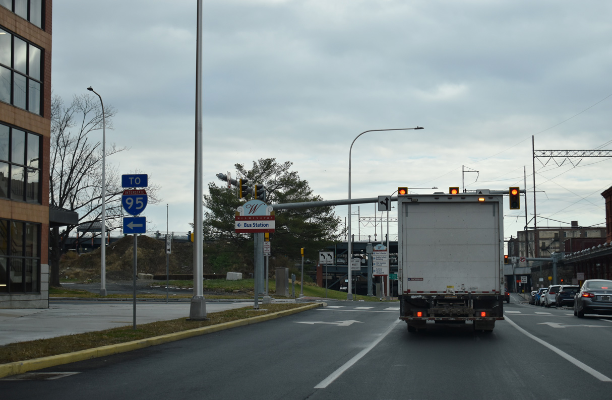
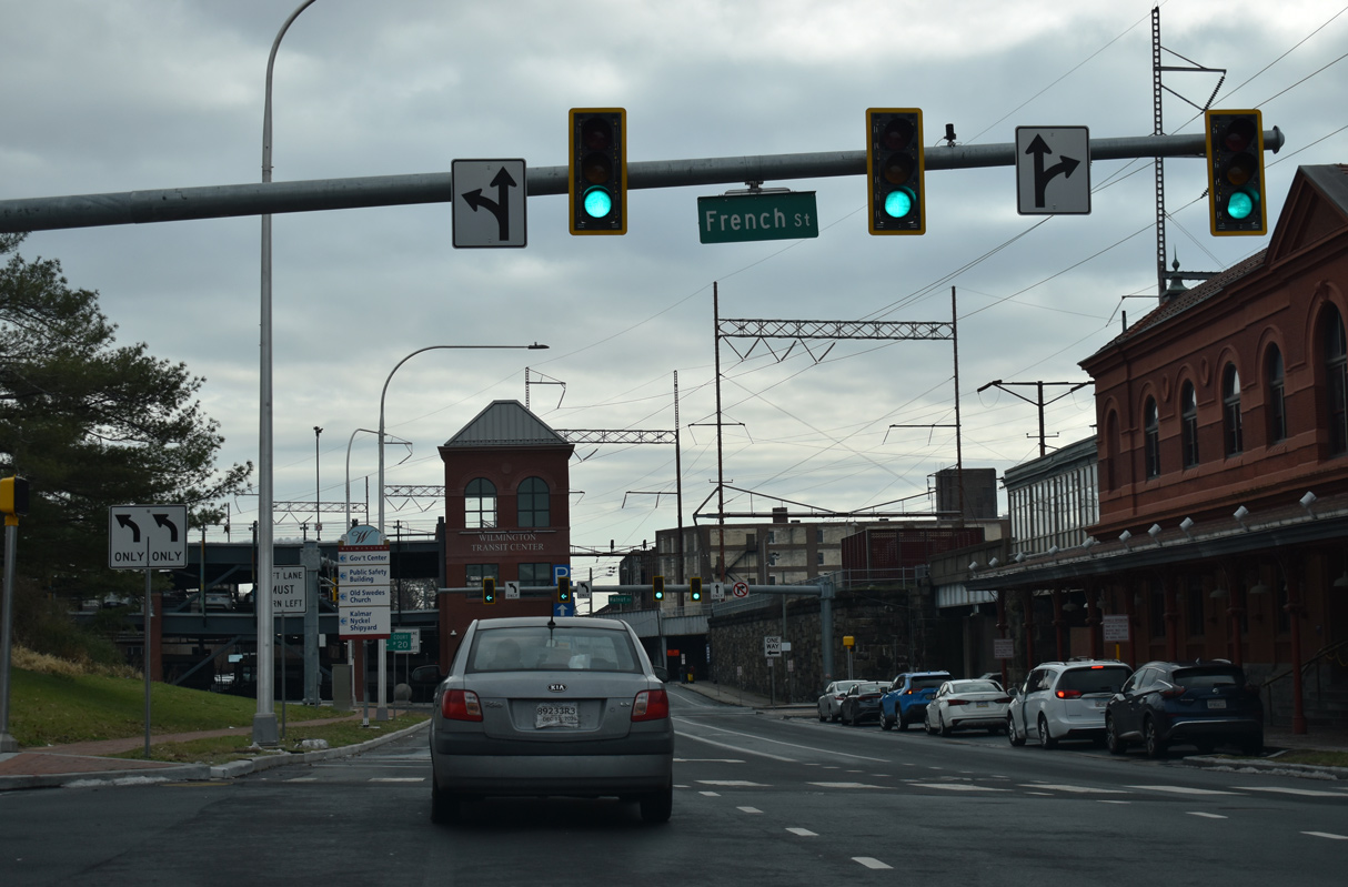
| A two block section of French Street connects 2nd Street (SR 48 west) with AMTRAK Wilmington Station. French Street historically was a part of the U.S. 13 alignment north through Downtown. 12/22/20 |
|
| U.S. 13 Business is not acknowledged where SR 48 (Front Street) east concludes at Walnut Street and Wilmington Transit Station. Offsetting the removal of the "sweep" taking SR 48 north onto U.S. 13 Business north, 2018-20 road work expanded Front Street east with two left turn lanes for Walnut Street. 12/22/20 |
Page Updated 01-05-2023.

 East
East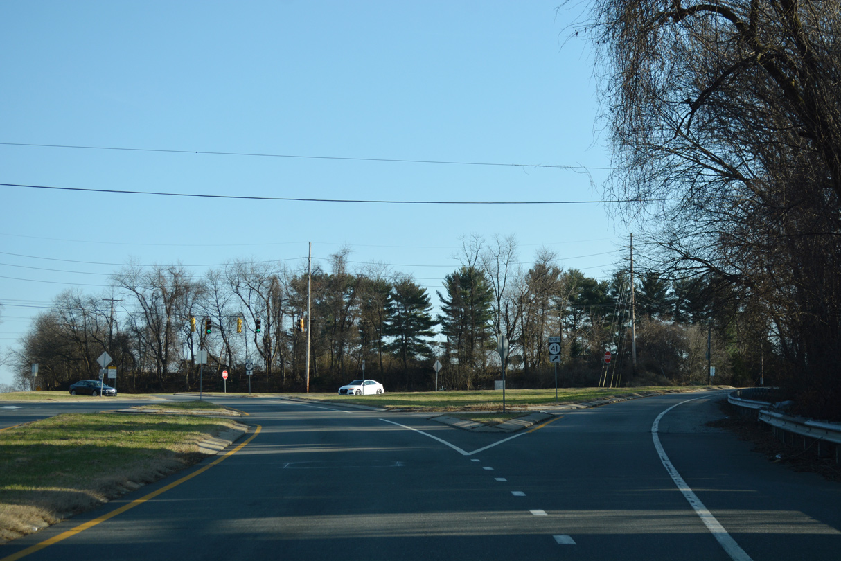
 South
South