|
| The weigh station north of the Maryland state line was constructed along a portion of the original roadway for U.S. 301 along Middletown Warwick Road. 12/19/20 |
|
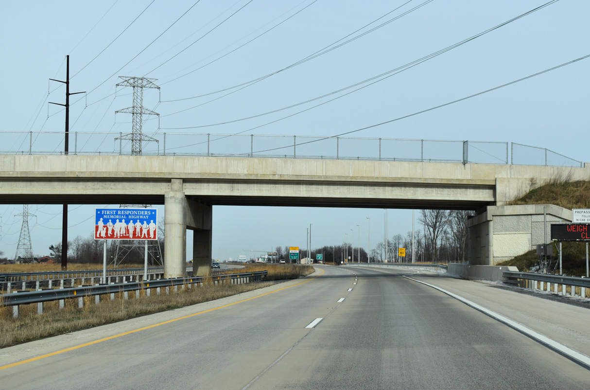
| A First Responders Memorial Highway sign stands along U.S. 301 at the Strawberry Lane (Rd 445) overpass. 12/19/20 |
|
| Maryland operates a companion southbound weigh station for U.S. 301 at Sassafras Road, three miles to the southwest of the northbound facility. 12/19/20 |
|
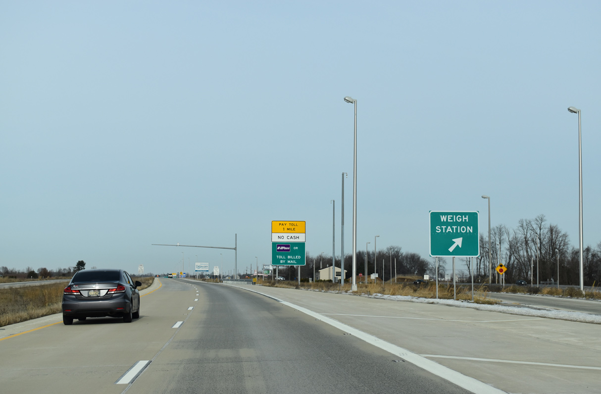
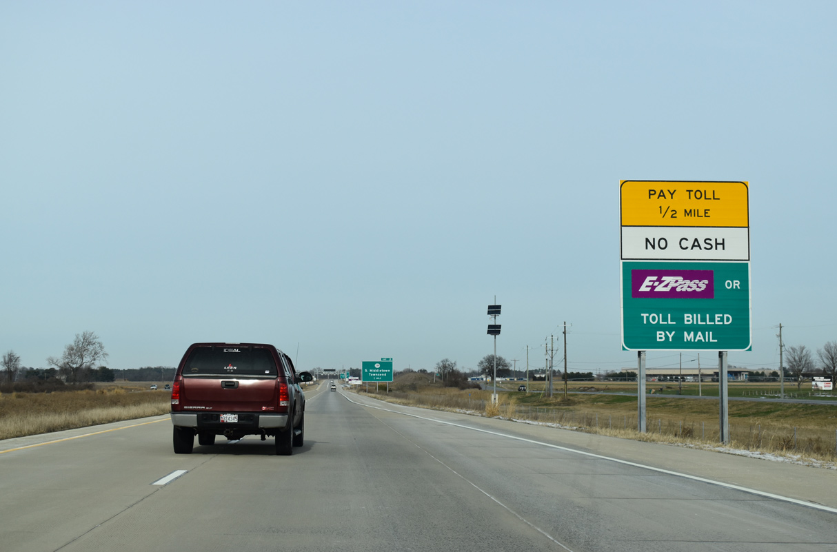
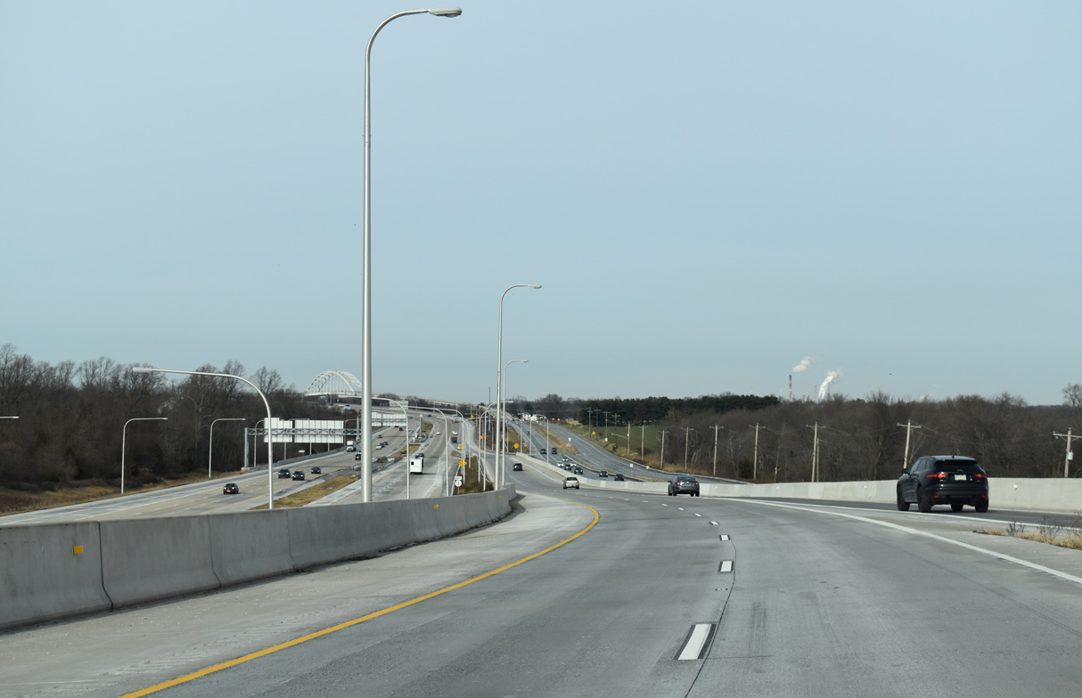
| The main line toll collection point for U.S. 301 follows the weigh station. 12/19/20 |
|
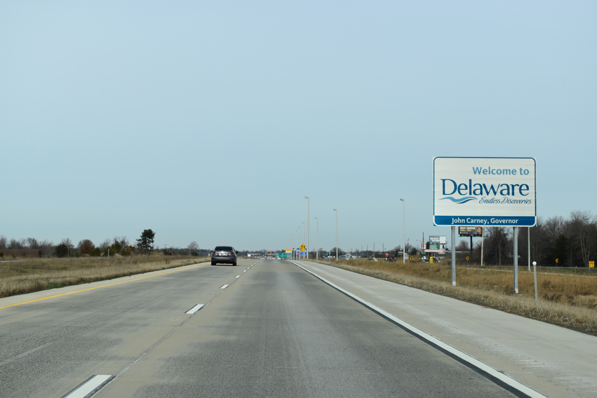
| U.S. 301 runs directly alongside Middletown Warwick Road (old U.S. 301) by the Delaware welcome sign. 12/19/20 |
|
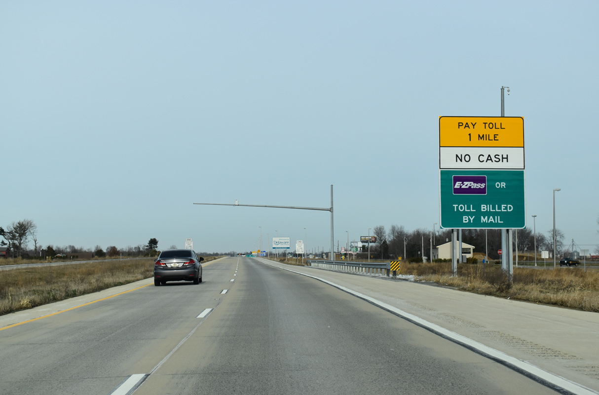
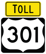
| All tolls along the First Responders Memorial Highway are collected electronically with E-ZPass and other interoperable transponders or toll by plate. 12/19/20 |
|
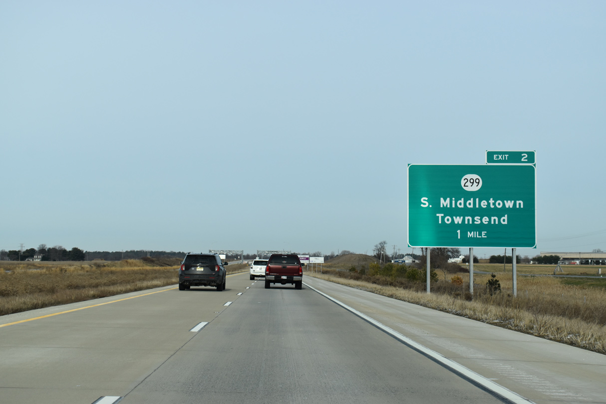
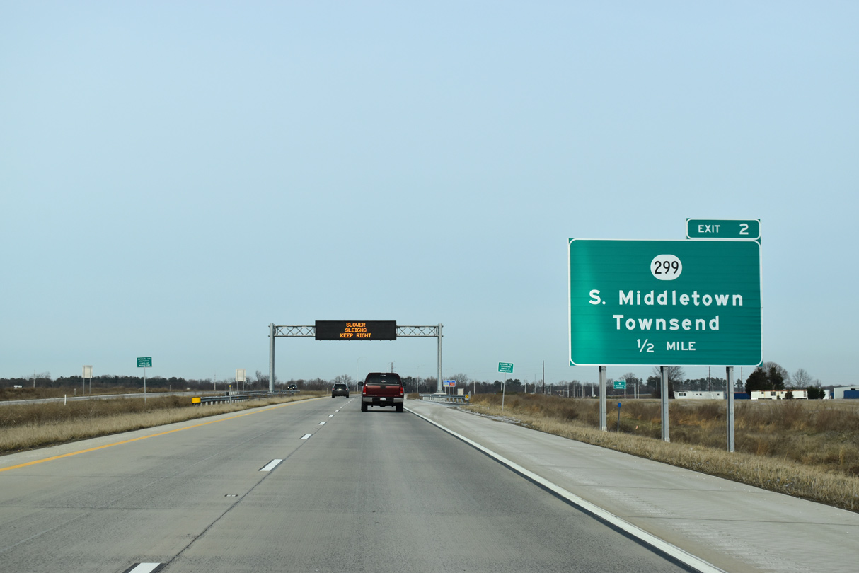
| SR 299 (Warwick Road) parallels the west side of U.S. 301 from MD 282 at Warwick northeast to Exit 2. 12/19/20 |
|
| The initial E-ZPass toll rate for U.S. 301 was set at $4.00 per passenger vehicle. 12/19/20 |
|
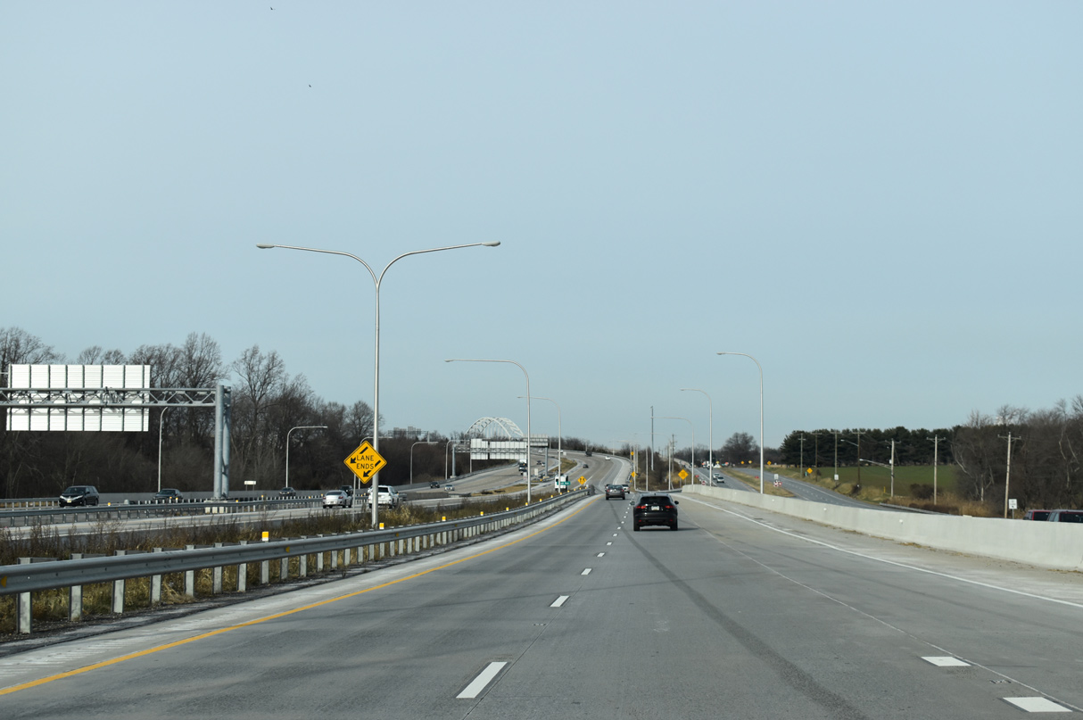
| Passing below the electronic toll gantries. 12/19/20 |
|
| SR 299 (Warwick Road) was realigned during construction of the First Responders Memorial Highway in 2016/17. SR 299 hooks south from the diamond interchange at Exit 2 to combine with SR 15 (Middletown Warwick Road) north into Middletown. 12/19/20 |
|
| SR 299 heads east to Downtown Middletown and Odessa. SR 15 follows Levels Road southeast with connections to Townsend en route to Clayton. 12/19/20 |
|
| Advancing north from SR 299, U.S. 301 runs between Appoquinimink High School and the Spring Arbor at South Ridge community. 12/19/20 |
|
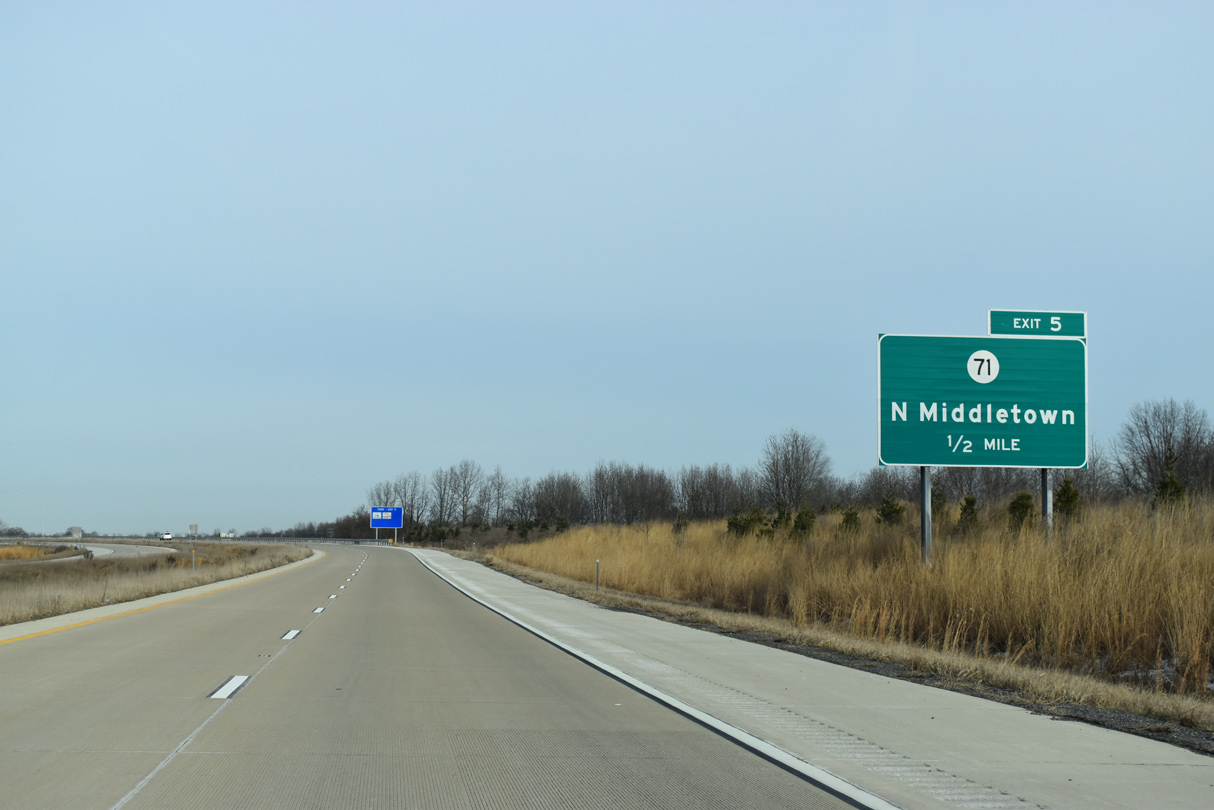
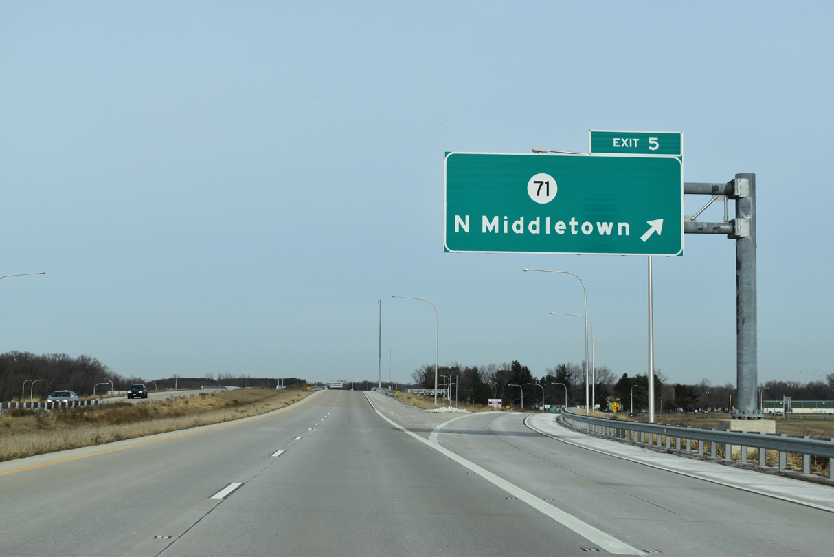
| The future Route 301 Spur to Summit Bridge will branch northward from a wye interchange one mile to the southwest of Exit 5 for SR 71 (Summit Bridge Road). 12/19/20 |
|
| SR 71 heads north along Broad Street from Downtown Middletown to overtake Summit Bridge Road (old U.S. 301) northward to Mount Pleasant. 12/19/20 |
|
| A dogbone interchange (Exit 5) links U.S. 301 with a connector road to adjacent SR 71 (Summit Bridge Road). SR 71 combines with SR 896 north across the Chesapeake and Delaware Canal on the Summit Bridge toward Glasgow and Red Lion. 12/19/20 |
|
| U.S. 301 shifts northeast across SR 71 and an adjacent Norfolk Southern Railroad line beyond Exit 7. 12/19/20 |
|
| U.S. 301 crosses Drawyer Creek beyond remaining tracts of farm land. 12/19/20 |
|
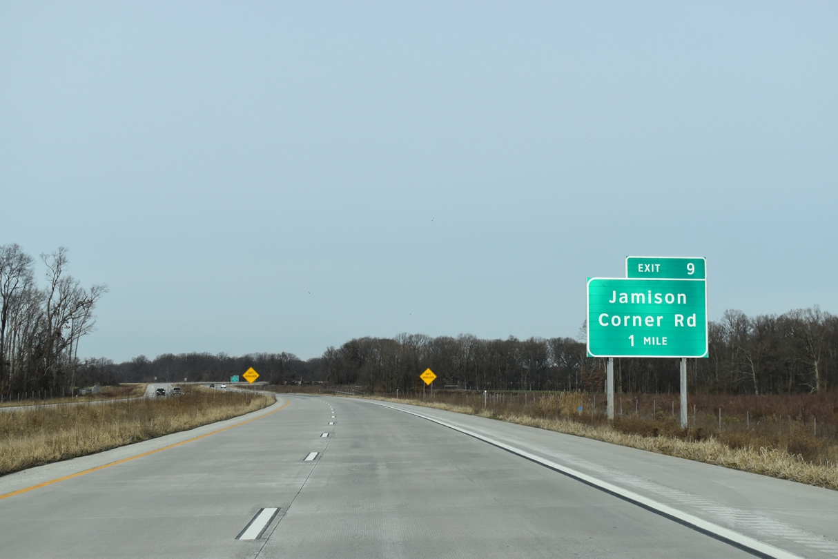
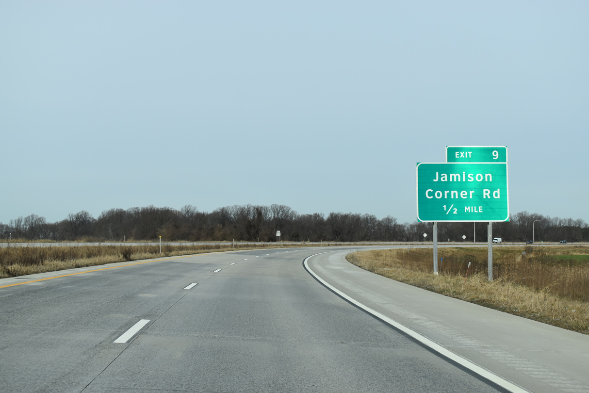
| U.S. 301 spans SR 896 (Boyds Corner Road) ahead of the dumbbell interchange (Exit 9) with Jamison Corner Road (Rd 413). 12/19/20 |
|
| Jamison Corner Road (Rd 413) heads south from Exit 9 to the Bayberry Town Center and SR 896 (Boyds Corner Road). 12/19/20 |
|
| Jamison Corner Road north connects U.S. 301 with roundabouts for Hyetts Corner Road (Rd 413) east and Lorewood Grove Road (Rd 412) at the Town of Whitehall master planned community. 12/19/20 |
|
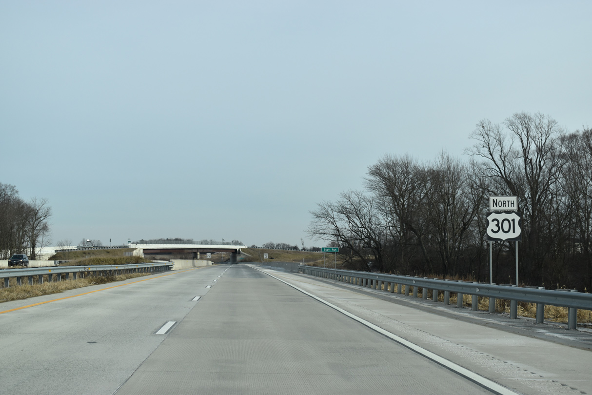
| The final confirming marker for U.S. 301 north precedes Scott Run and the Hyetts Corner Road overpass northwest of Boyds Corner. 12/19/20 |
|
| U.S. 301 converges with SR 1 (Korean War Veterans Memorial Highway) along a sweeping flyover ramp north of the Biddles Corner Toll Plaza. 12/19/20 |
|
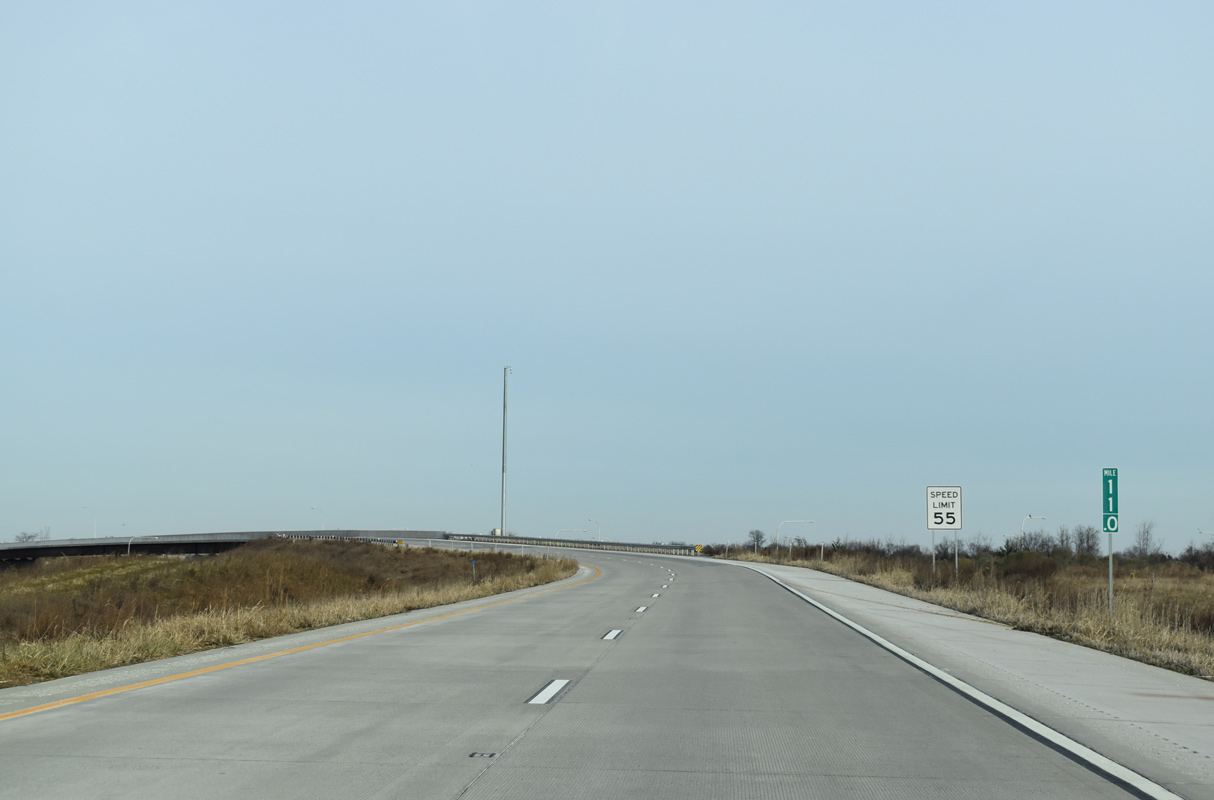
| Milepost 11 falls within the wye interchange joining U.S. 301 with SR 1 northbound. 12/19/20 |
|
| The entrance ramp connecting U.S. 13 (Dupont Parkway) with SR 1 north across the William V. Roth, Jr. Bridge spanning the Chesapeake and Delaware Canal merges with the north end of U.S 301. 12/19/20 |
|
| A heavily traveled commuter route, SR 1 is toll free north from U.S. 301 (First Responders Memorial Highway) to U.S. 13 at Tybouts Corner and I-95/SR 7 at Churchmans Crossing. 12/19/20 |
Page Updated 03-01-2021.

 North
North