Two branches of County Road 191A remain in service in Santa Rosa County. The northern section follows Old Bagdad Highway, a historic alignment of U.S. 90, between State Road 281 (Avalon Boulevard) / U.S. 90 and County Road 191 (Forsyth Street) at Bagdad. The southern section forms an L-shaped route 2.04 miles from U.S. 98 (Gulf Breeze Parkway) south to Oriole Beach and west along Bay Street. The Bay Street portion is unsigned.
Two additional segments retain signage but are no longer county highways. Diamond Street east from U.S. 98 at Floridatown is one former route while Mulat Road southwest from SR 281 (Avalon Boulevard) to Mulat is the other.
|
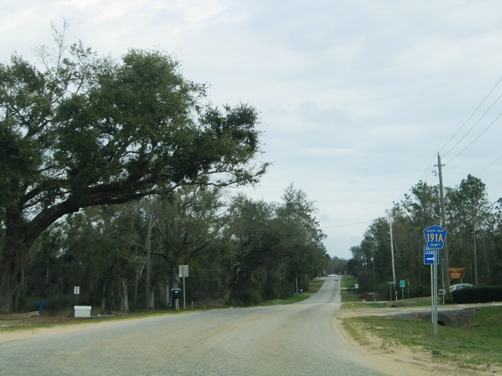
| A reassurance marker for County Road 191A appears along Old Bagdad Highway east after the tie-in with adjacent U.S. 90 and before Pine Forest Road south. Construction to expand SR 281 included a realignment of CR 191 so that the eastbound beginning is only accessible from SR 281 north directly. 02/06/06 |
|
| Old Bagdad Highway meanders east from the Galt City area, paralleling Pond Creek, to reach the Bagdad historic district. The county road ends at Santa Rosa County Road 191 (Forsyth Street), which links Downtown Milton with Interstate 10 to the south. 02/06/06 |
|
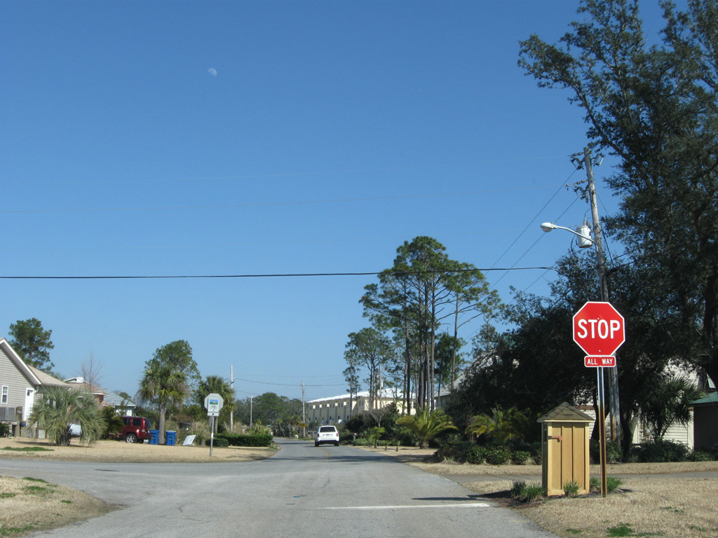
| Bay Street originates in the canal-based subdivision of Villa Venyce. The unsigned portion of CR 191 intersects Coronado Drive north at this stop sign, shortly after beginning. 02/23/10 |
|
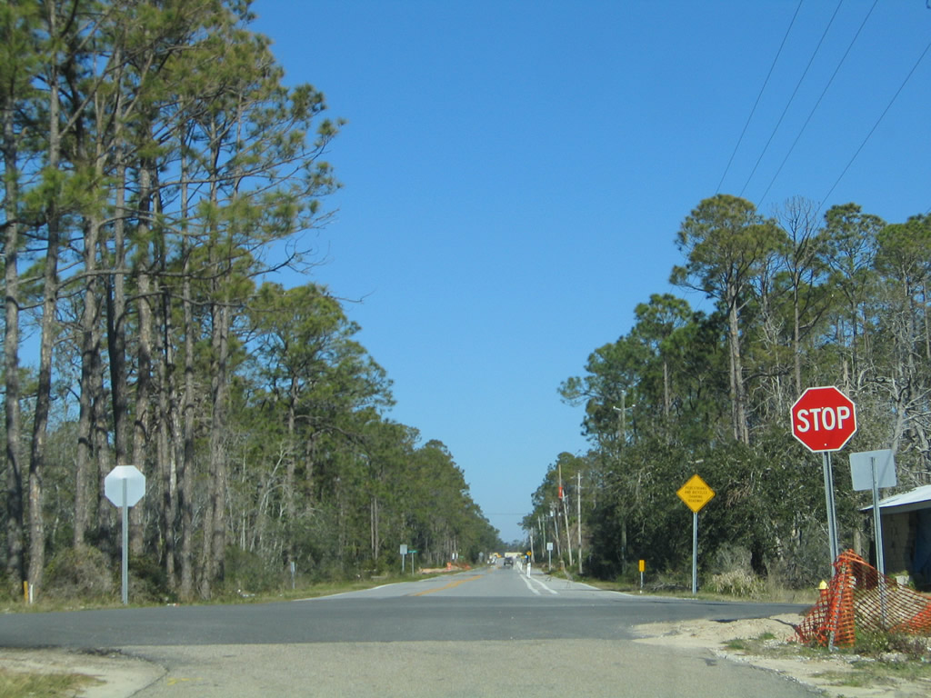
| The 1.28 mile segment of CR 191 along Bay Street ends at Oriole Beach Road north to U.S. 98. Bay Street continues east to a boat ramp and Laurel Drive otherwise. 02/23/10 |
|
| Linden Avenue curves northward to become Oriole Beach Road ahead of the stop sign with Bay Street (unsigned CR 191 west). 02/09/06 |
|
| Oriole Beach Road gains a bike lane on the 0.76 mile drive to U.S. 98. No signs are posted for CR 191A northbound. 02/09/06 |
|
| County Road 191A ends at a commercialized intersection with U.S. 98. U.S. 98 represents the main route to Pensacola and Gulf Breeze to the west and Navarre and Fort Walton Beach to the east. 02/23/10 |
|
| A reassurance marker for County Road 191A south was posted as Oriole Beach Road south left U.S. 98 (Gulf Breeze Parkway). The shield was removed by 2013. 02/09/06 |
|
| Diamond Street serves a number of residential streets as the main road west through Floridatown. County Road 197 (Floridatown Road) constitutes the main north-south route for the community north of Escambia Bay. 02/06/06 |
|
| Santa Rosa County Road 197 ends at Parkview Street and Floridatown Park on Escambia Bay to the south. Northward the county road follows Chumuckla Highway beyond U.S. 90 through Pace. 02/06/06 |
|
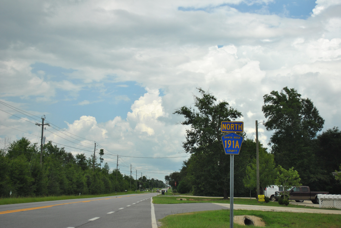
| County Road 191A began at the Mulat Road intersection with Meloy Lane. Mulat Road arcs northeast from there alongside a CSX Railroad line to intersect the north end of Santa Rosa County Road 281 (Montecito Boulevard). CR 281 joins Mulat with Avalon Beach as part of a 2.31 mile alignment south across Mulatto Bayou and east to SR 281. 02/06/06 |
|
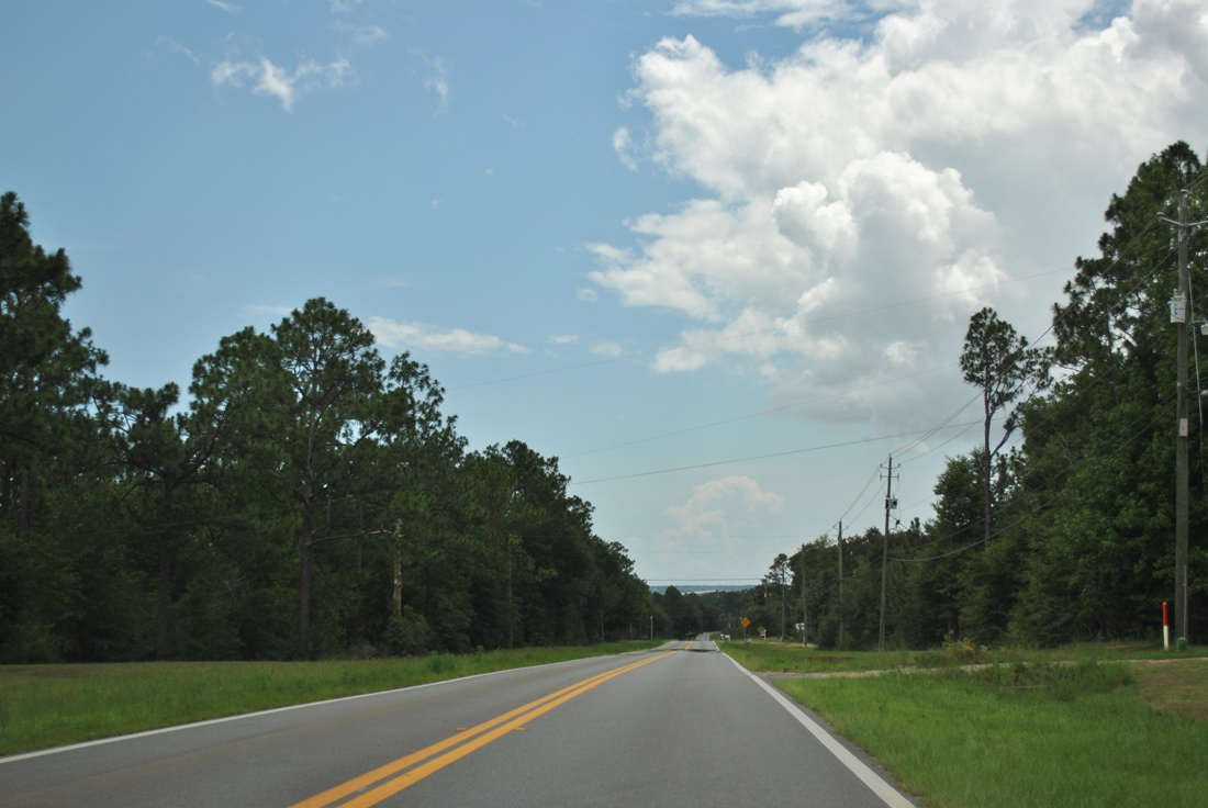
| Mulat Road diverges from the adjacent railroad line at Harp. 07/24/11 |
|
| County Road 281B (Cyanamid Road) west and County Road 191B (Sterling Way) east come together at a traffic light along Mulat Road. CR 281B connects former CR 191A with SR 281 (Avalon Boulevard) to the east. CR 191B west to CR 197A (Bell Lane) north provides an alternate route to U.S. 90 at Pea Ridge. 07/24/11 |
|
| CR 191A reassurance marker posted after CR 281B east and CR 191B west on Mulat Road. 07/24/11 |
|
| Mulat Road used to tie directly into the curve of SR 281 (Avalon Boulevard). Widening of SR 281 between 2011 and 2013 included the realignment of Mulat Road so that the road intersects Avalon Boulevard at a right angle. 07/24/11 |
|
| A portion of old Mulat Road was retained for local access to Tom Sawyer Road west. This stretch of road originally led southwest from SR 281. 07/24/11 |
|
| No signs are posted for County Road 281B east or 191B west at the Mulat Road intersection with Cyanamid Road east and Sterling Way west. 07/24/11 |
|
| The lone remaining reassurance marker for Santa Rosa County Road 191A south was posted after Sterling Way / Cyanamid Road. 07/24/11 |
|
| A glimpse of the Escambia Bay Bridges of Interstate 10 appear on the horizon as Mulat Road lowers toward Harp. 07/24/11 |
|
| Santa Rosa County Road 281 stems south from Mulat Road along Montecito Boulevard into the community of Avalon Beach. 07/24/11 |
|
| CR 281 spans Mulatto Bayou to become 14th Avenue in Avalon Beach. Del Monte Street returns the route east to SR 281 (Avalon Boulevard). Mulat Road meanwhile parallels a CSX Railroad line a short distance west to Mulat. 07/24/11 |
Page Updated 03-20-2014.