County OO is the original US 41 bypass of Appleton. The road was completed in 1937 and was designated as US 41 until a new freeway was completed about a mile north in 1962. County OO replaced the US 41 designation and is a mostly four lane east-west arterial that serves the northern Fox Cities.
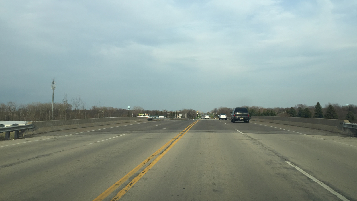
The west end of County OO ties into a parclo interchange with Wis 15 west at Interstate 41. This exchange was originally a partial wye interchange with access to both directions of U.S. 41 but to County OO only from U.S. 41 north.
|
| An auxiliary lane from I-41 north merges with East OO (Northland Avenue) to form a right turn lane for upcoming County AA. 04/18/16 |
|
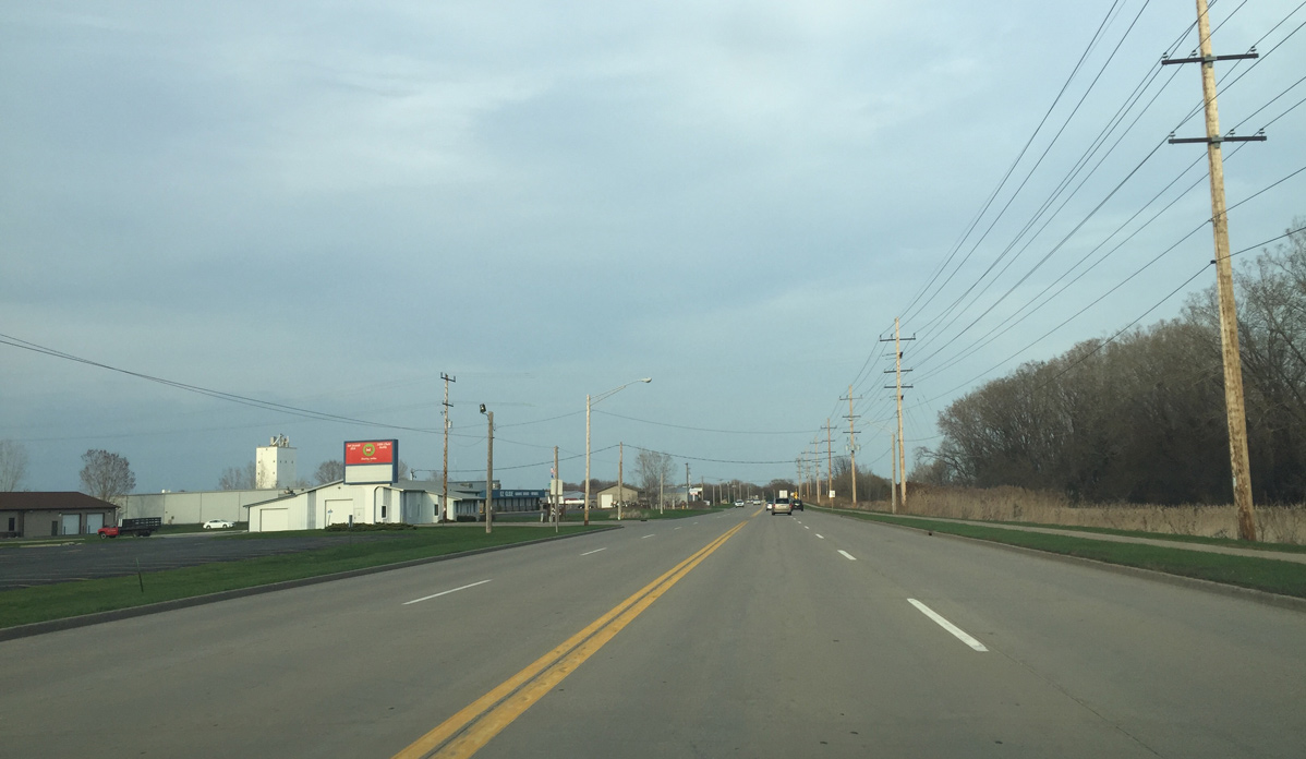
| County AA is a short county road that passes by Fox Valley Technical College and various Outagamie County Offices between Northland Avenue and Wis 96 (Wisconsin Avenue). 04/18/16 |
|
| County A (Lynndale Drive) is a busy north south arterial that begins at Wis 125 (College Avenue) and travels north to Wis 47. It represents a short cut route for traffic using Wis 47 north to Shawano, since Wis 47 curves northwest to run directly north with County A north of Appleton. 04/18/16 |
|
| Northland Avenue proceeds a half mile east to span a Canadian National railroad. 04/18/16 |
|
| County OO (Northland Avenue) becomes an urban boulevard as it reaches Mason Street. 04/18/16 |
|
| Several businesses, anchored by Northland Mall, line County OO over the next half mile. 04/18/16 |
|
| Wis 47 travels south from CTH-OO through Downtown Appleton into Menasha where it ends at Wis 114. The signals at Northland Avenue are scheduled to be replaced with a roundabout, as this intersection has the highest crash rate in the Fox Cities. 04/18/16 |
|
| Meade Street runs south past Theda Care hospital and turns into Lawe Street before passing through the Lawrence University Campus and crossing the Fox River. 04/18/16 |
|
| County OO (Northland Avenue) becomes a four lane undivided roadway between Meade Street and Ballard Road. A south side service road runs along the route, but without direct access. 04/18/16 |
|
| County E was once part of Business U.S. 41 between I-41 and Wis 96. It runs north for about three miles, then cuts northeast through Freedom and ends at Wis 54 and Wis 172 in Hobart. County E south of County OO was turned back to the City of Appleton after reconstruction in 2013. 04/18/16 |
|
| Approaching the diamond interchange with Wis 441, the south and east legs of the Appleton Beltway, on CTH-OO east. 04/18/16 |
|
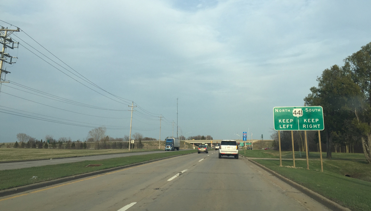
| Wis 441 heads south to Menasha and joins US 10 before ending at I-41 in Fox Crossing. The freeway continues as US 10 west of I-41. 04/18/16 |
|
| Wis 441 north ends in about 0.75 miles at a trumpet interchange with I-41. 04/18/16 |
|
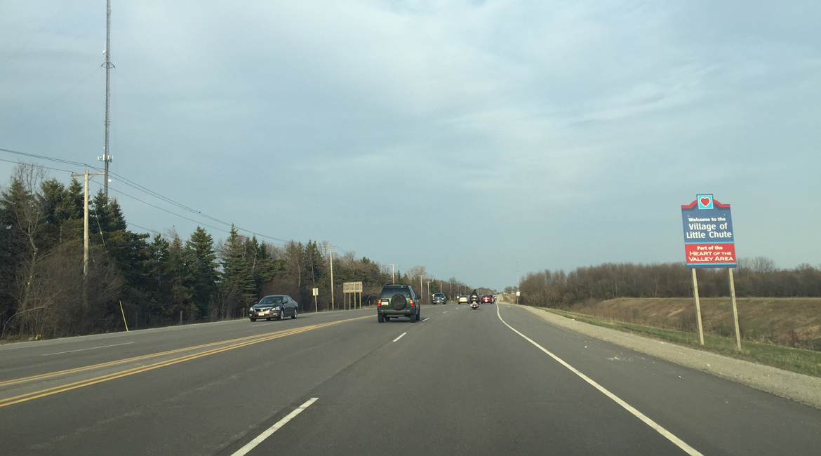
| Motorists along County OO east enter the village of Little Chute to the immediate east of Wis 441. County OO transitions to North Avenue along this stretch. 04/18/16 |
|
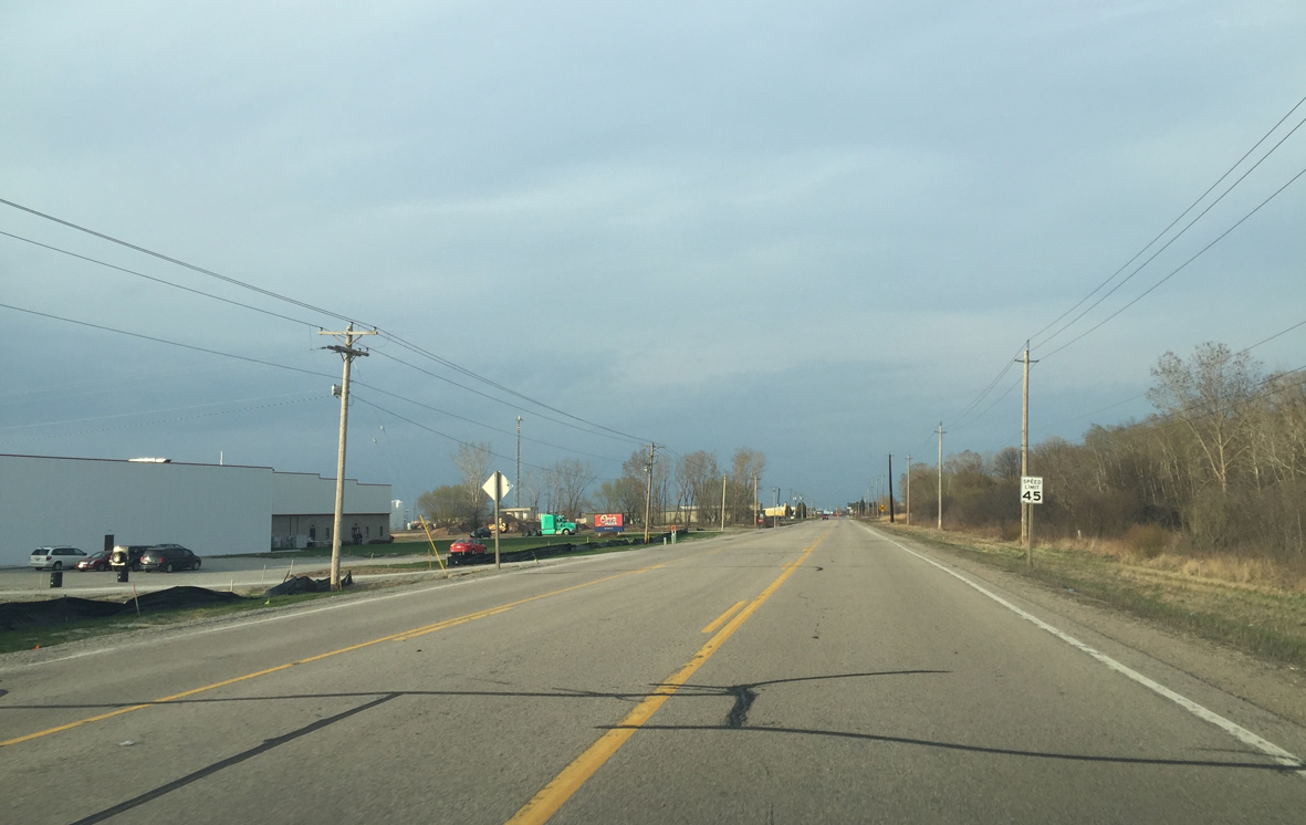
| County OO continues east past the Outagamie County Landfill and undeveloped farmland. 04/18/16 |
|
| A mix of industrial and residential areas line County OO (North Avenue) in Little Chute. 04/18/16 |
|
| County N (Madison Street) travels south from County OO (North Avenue) through Kimberly, Combined Locks and Harrison. It provides the only Fox River crossing between Appleton and Kaukauna. 04/18/16 |
|
| County N shares an implied overlap with County O east to Freedom Road. The trunk highway north provides access to I-41 from Little Chute and at the village's only interchange. 04/18/16 |
|
| Confirming marker posted for CTH-OO east after CTH-N in Little Chute. The four lane boulevard parallels a Canadian National Railroad line from here to Kaukauna. 04/18/16 |
|
| The surface of CTH-OO switches to concrete about a mile east of County N. 04/18/16 |
|
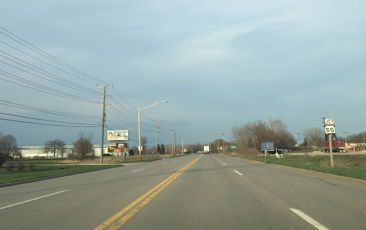
| County CC (Rose Hill Road) is a short county road that runs into Wis 55 north beyond I-41. 04/18/16 |
|
| Gertrude Street is a short connector between nearby Wis 96 (Draper Street) and County OO (Hyland Avenue). Most traffic heading to Downtown Kaukauna turns right here. 04/18/16 |
|
| A roundabout is scheduled to replace the four way stop when Wis 55 is reconstructed in 2018. Wis 55 runs 175 miles north from U.S. 151 near Quinney to M-73 at Nelma. 04/18/16 |
|
| East from STH-55, County OO (Hyland Drive) becomes a three lane roadway through an industrial area of Kaukauna. 04/18/16 |
|
| Outagamie County OO ends at forthcoming CTH-J (Lawe Street). An unnumbered frontage road of I-41 continues straight ahead and parallels the freeway until it reaches De Pere. 04/18/16 |
|
| County J meets adjacent Interstate 41 at one of two Kaukauna exits along the freeway. The trunk highway lines Lawe Street southwest to Wis 55 and 96. 04/18/16 |
Page Updated 06-06-2016.