|
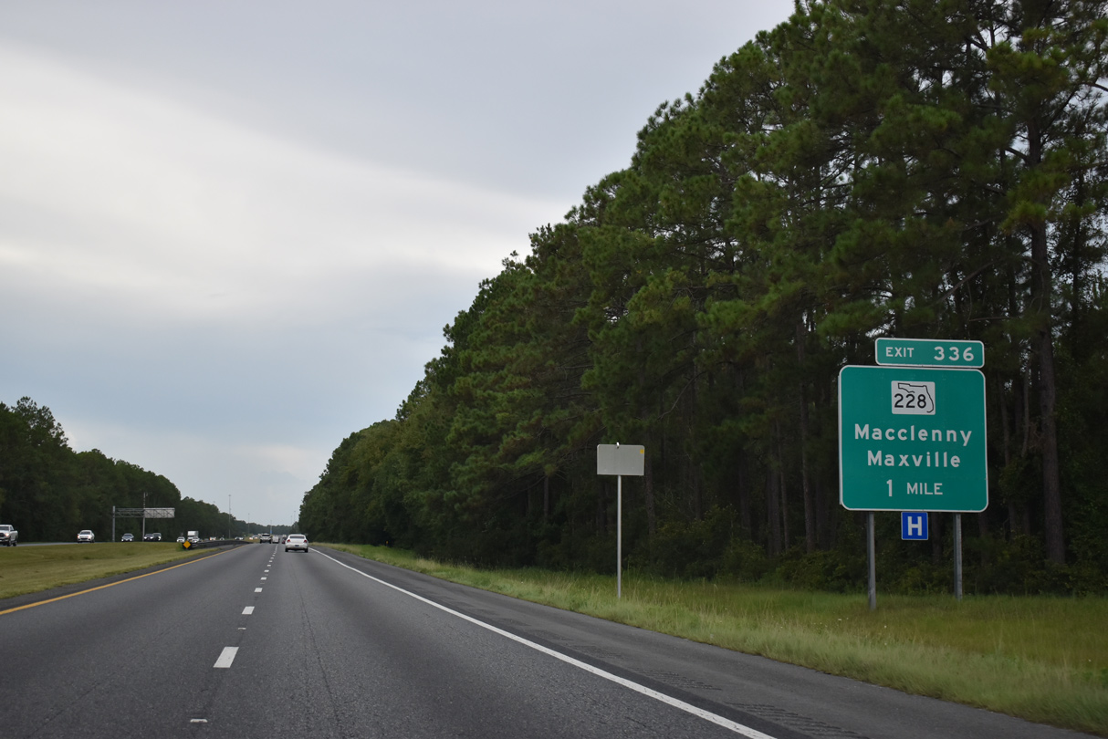
| SR 228 east and CR 228 (Maxville-Macclenny Road) west come together at the first of two interchanges serving the city of MacClenny from Interstate 10 west in one mile. 08/28/21 |
|
| The western segment of SR 228 travels 1.93 miles west from the diamond interchange with I-10 to U.S. 90 at Fifth Street (CR 228) in Downtown Macclenny. 08/28/21 |
|
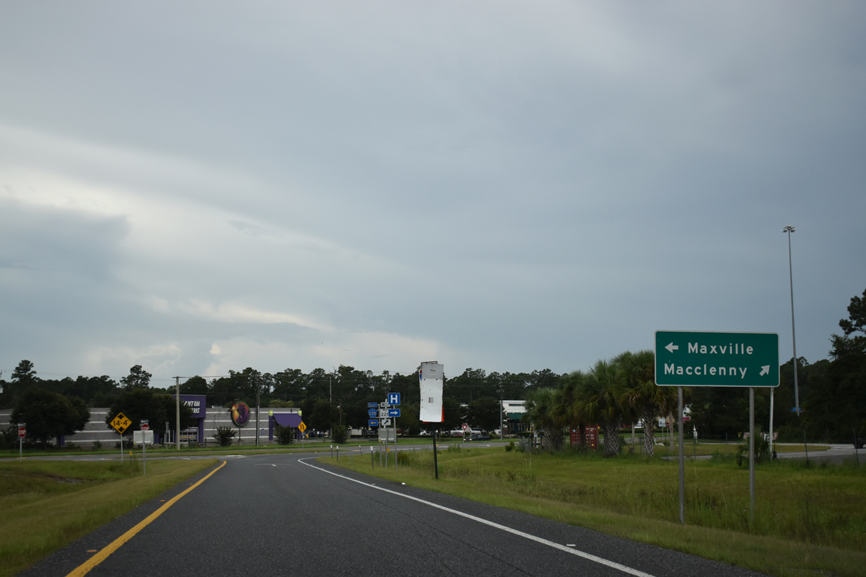
| CR 228 arcs southeast from Exit 336 to McPherson and Maxville in Duval County. 08/28/21 |
|
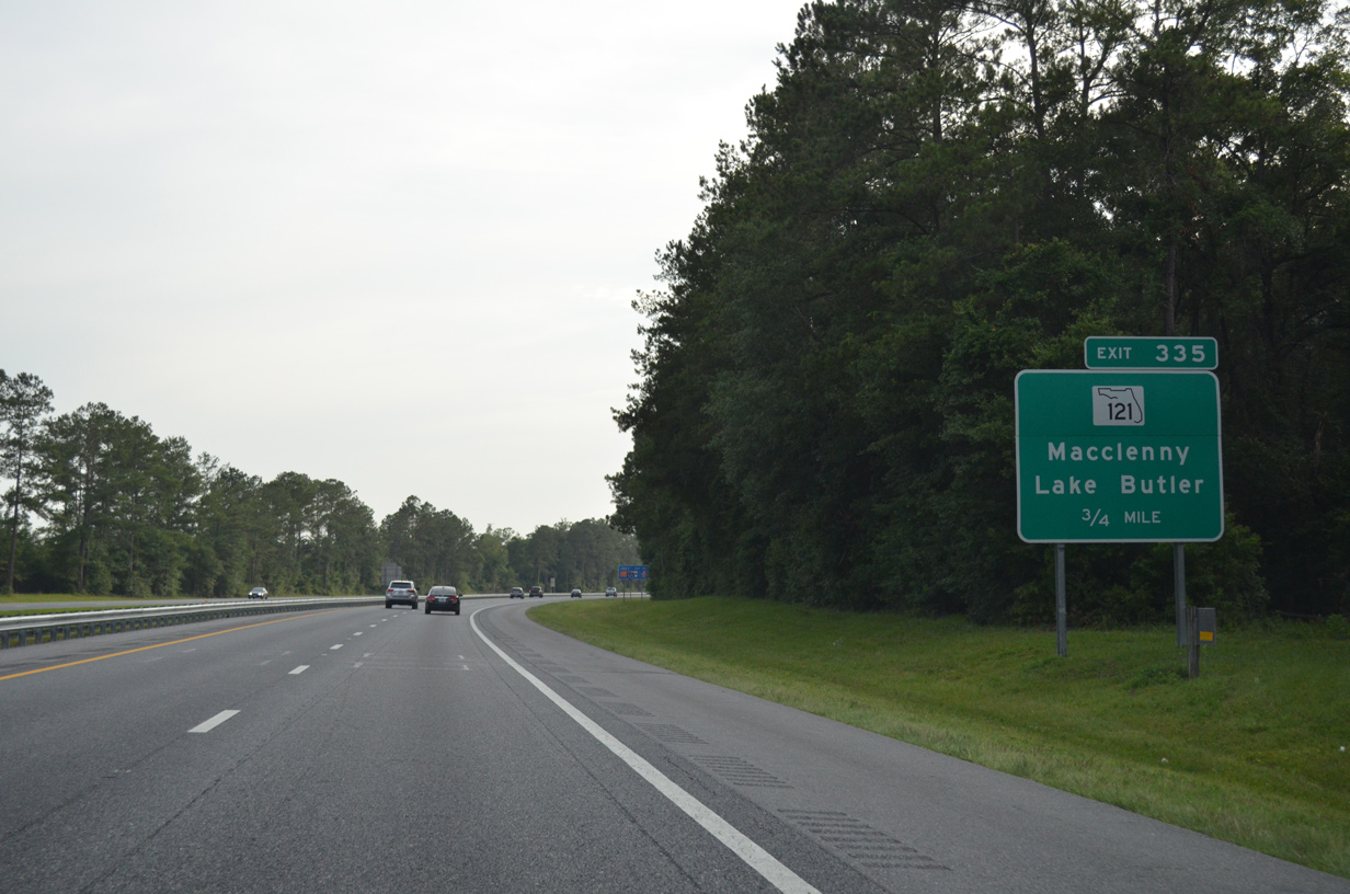
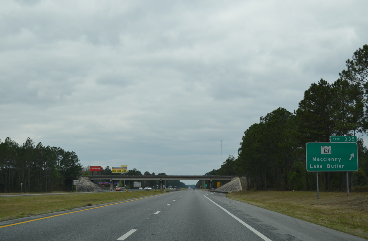
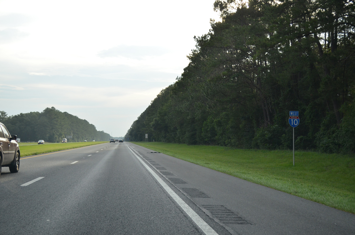
| Interstate 10 straddles southern reaches of the MacClenny city limits to a parclo B2 interchange (Exit 335) with SR 121 (S 6th Street). 06/16/16 |
|
| Reassurance marker for I-10 west posted after Turkey Creek. 06/16/16 |
|
| SR 121 is part of a multi state route between U.S. 19/98 in Levy County and Rock Hill, South Carolina. SR 121 heads 23 miles south to the Union County seat of Lake Butler and six miles northward to Charlton County, Georgia. 03/03/13 |
|
| Continuing west, Interstate 10 runs between rural residential streets to the South Prong of the St. Marys River. 06/16/16 |
|
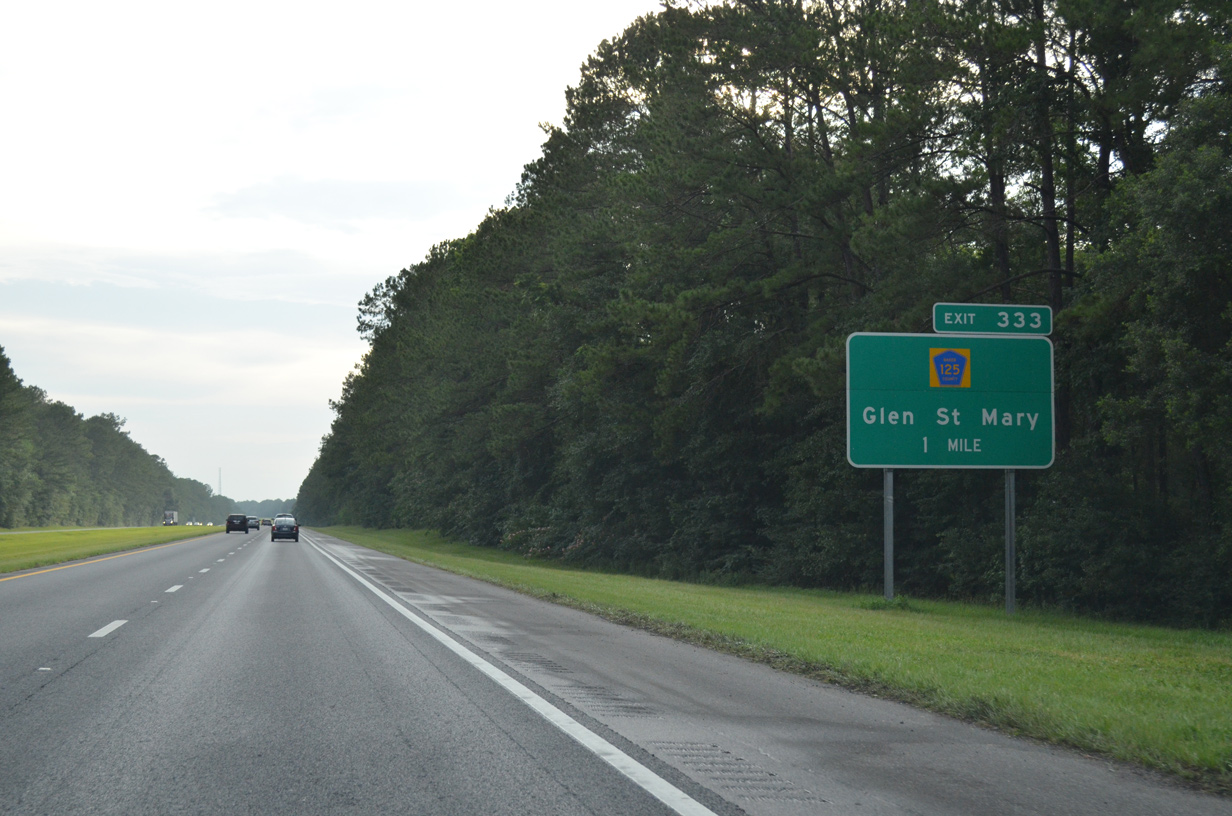
| Interstate 10 approaches the town of Glen St. Mary and Baker County Road 125 (Exit 333). 06/16/16 |
|
| County Road 125 follows Glen Avenue northward from Exit 333 into Glen St. Mary. 06/16/16 |
|
| County Road 125 spans the St. Marys River South Prong on the 4.7 mile drive south to SR 121 north of Manning. SR 121 extends southwest from there to Raiford and Lake Butler. 06/16/16 |
|
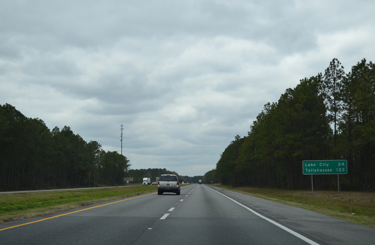
| Interstate 10 and parallel U.S. 90 push six miles westward to Sanderson and 32 miles to Lake City. 03/03/13 |
|
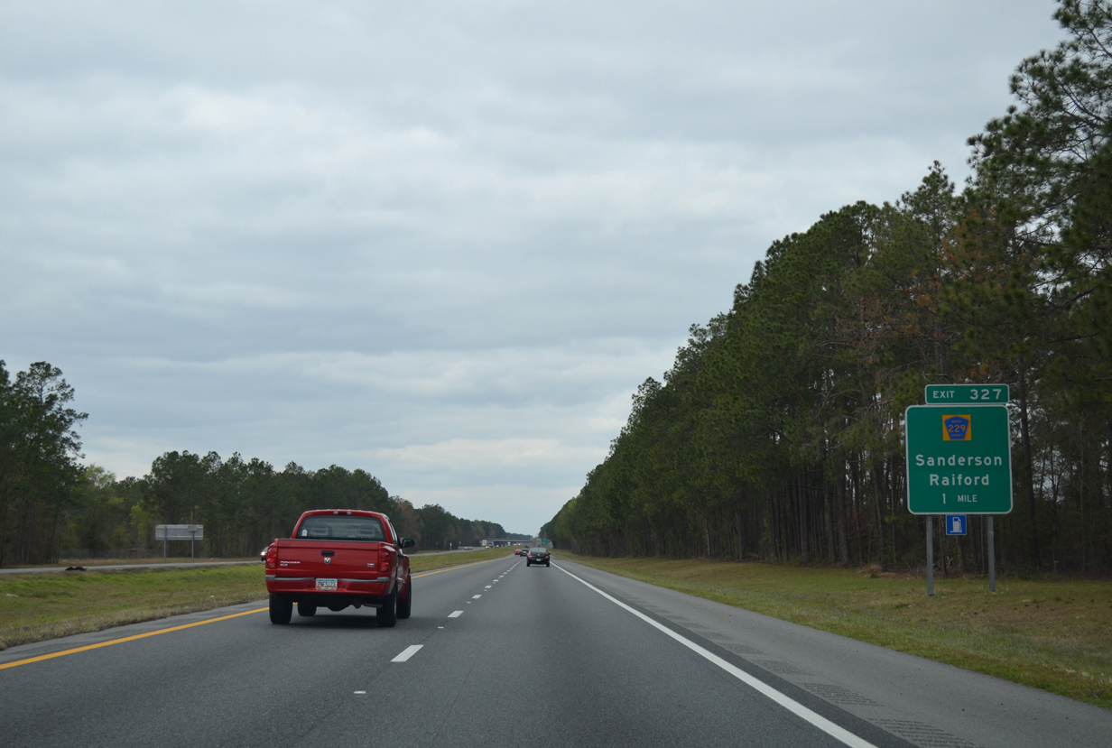
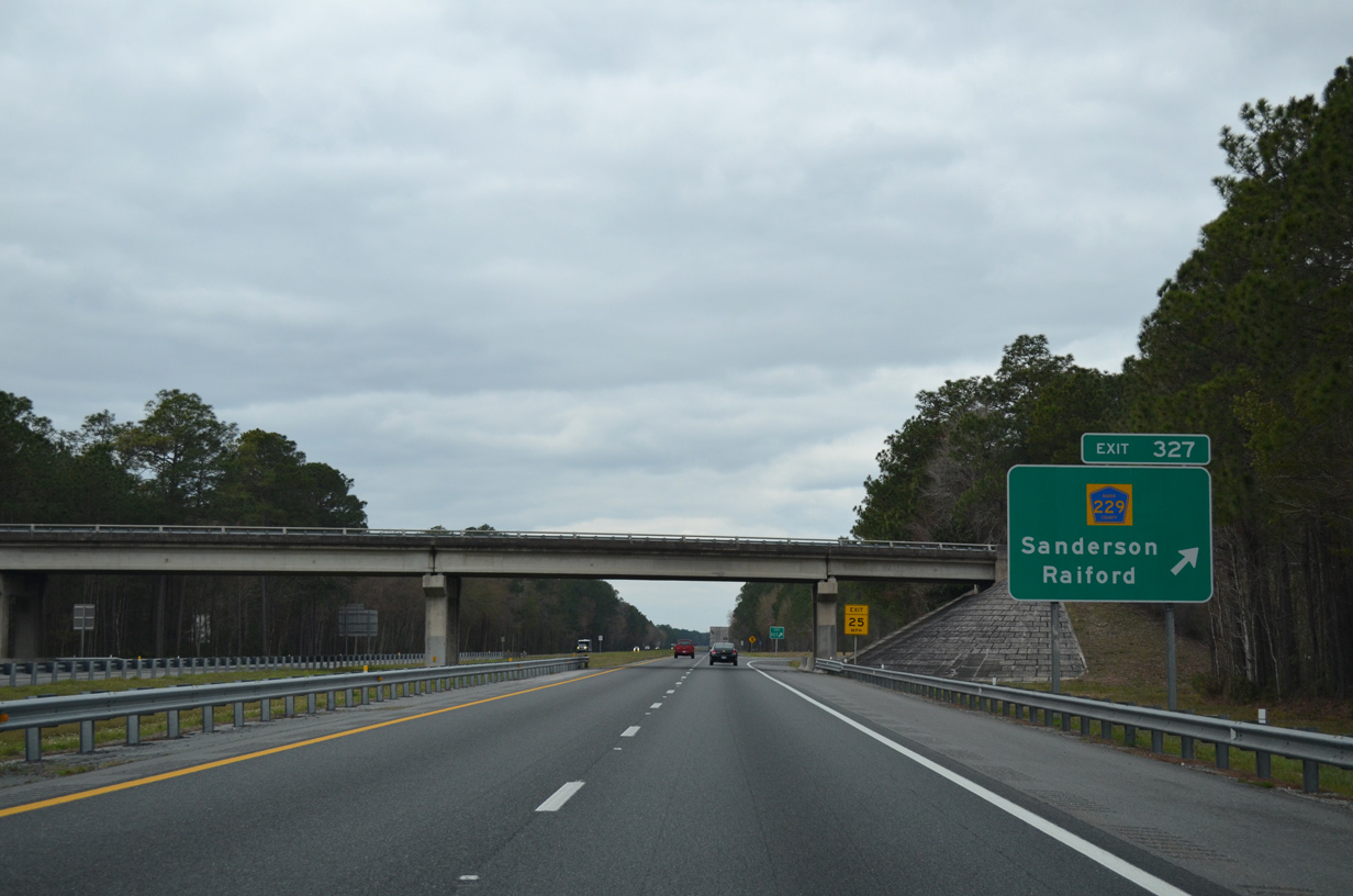
| A parclo B2 interchange (Exit 327) joins Interstate 10 with County Road 229 at Sanderson next. 03/03/13 |
|
| County Road 229 leads southward 14 miles to Raiford and north from U.S. 90 and Sanderson 8.57 miles to Osceola National Forest and County Road 250, south of Taylor. 03/03/13 |
|
| Interstate 10 traverses an area of wetlands to the south of Sanderson. 03/03/13 |
|
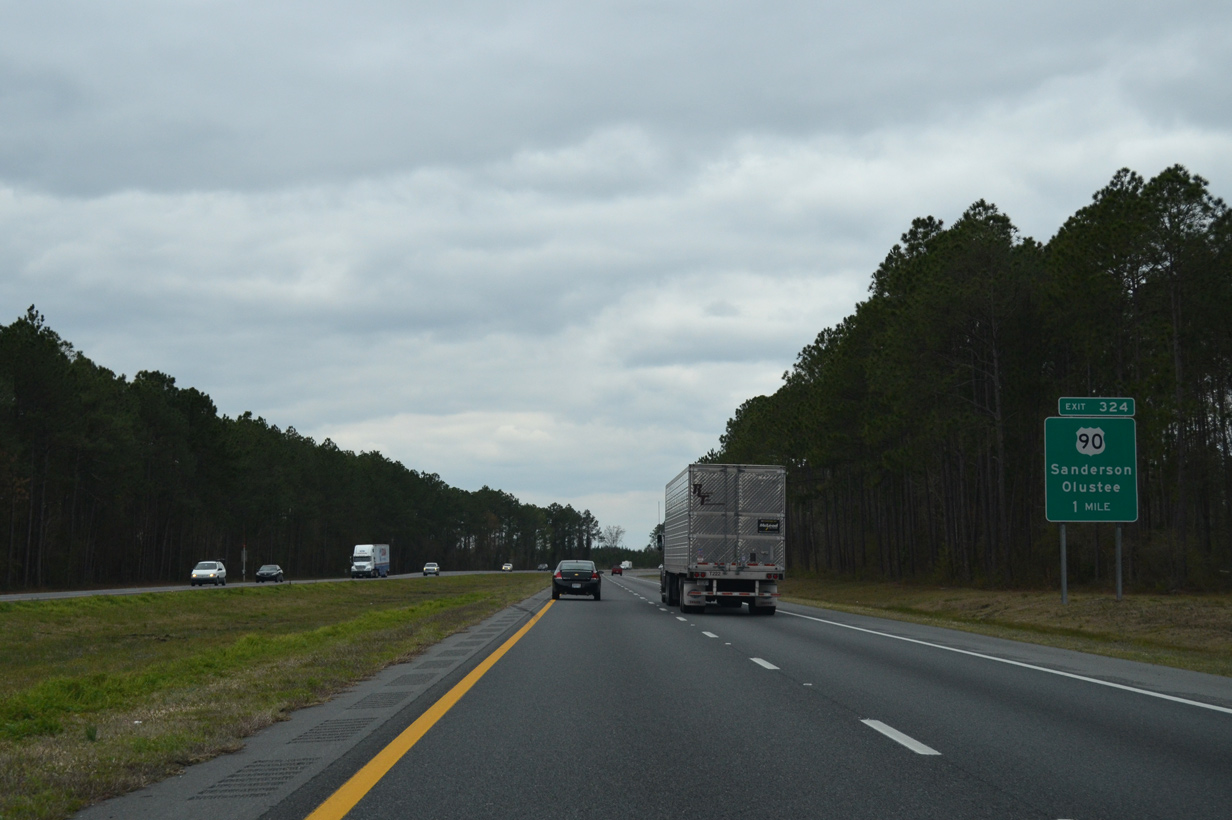
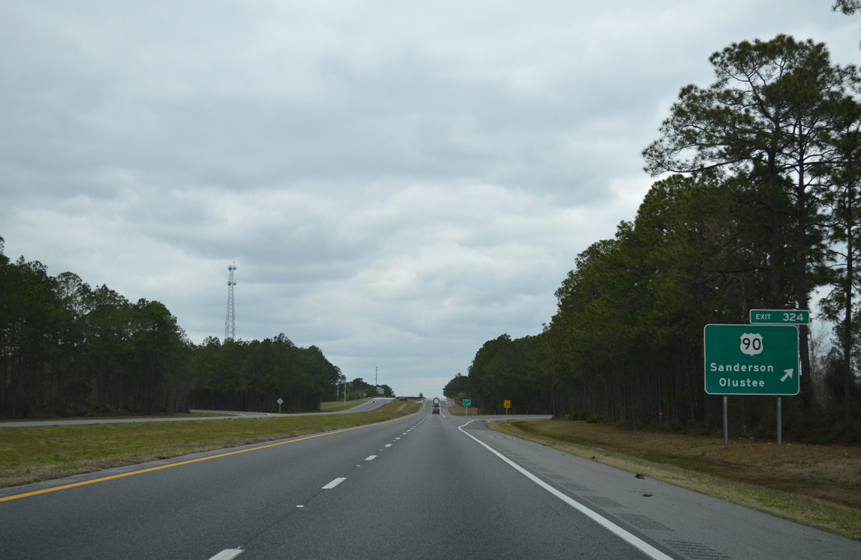
| The first of five interchanges between I-10 and U.S. 90 in the state of Florida is Exit 324. Heading 20.5 miles west to Lake City, U.S. 90 lines southern areas of Osceola National Forest through Olustee. 03/03/13 |
|
| A folded diamond interchange (Exit 324) links I-10 and U.S. 90 opposite adjacent to a CSX Railroad line near Sanderson. U.S. 90 travels six miles west to Olustee Battlefield Historic State Park. 03/03/13 |
|
| The longest stretch without an exit along Interstate 10 east of Hudspeth County in west Texas is the 21 mile segment between Sanderson and Lake City. 03/03/13 |
|
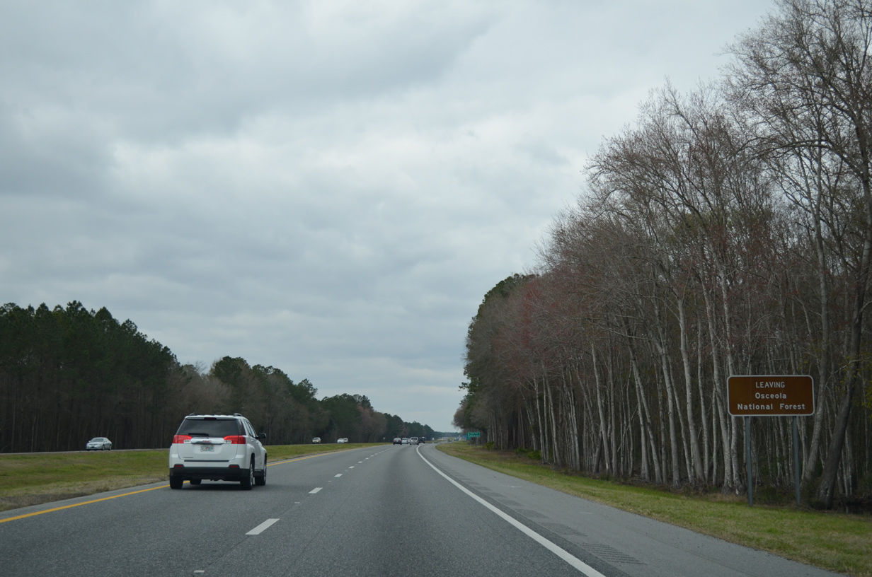
| Interstate 10 enters Osceola National Forest and Osceola Wildlife Management Area 2.5 miles west of U.S. 90 at Exit 324. 03/03/13 |
|
| A set of rest areas, the first along Interstate 10 west, lie west of the Forest Road 235 overpass near Ocean Pond in the National Forest. 03/03/13 |
|
| Interstate 10 advances west from the rest area to the Columbia County line near milepost 315. 03/03/13 |
|
| County Road 250 (NE Gum Swamp Road) passes over Interstate 10 by Little Gum Swamp within Osceola National Forest. 09/08/10 |
|
| Clyde Varnes Road (Forest Road 236) crosses over Interstate 10 to the southwest of Otter Bay and Falling Creek. 03/03/13 |
|
| I-10 vacates Osceola National Forest 1.75 miles ahead of Exit 303 near Falling Creek swamp. 03/03/13 |
|
| U.S. 441 (Marion Avenue) leads 2.6 miles north from Bascom Norris Drive (SR 100A) outside Downtown Lake City to the diamond interchange with Interstate 10 at Exit 303. 03/03/13 |
|
| U.S. 441 (Marion Avenue) continues north from Exit 303 in north Lake City 38 miles to Fargo, Georgia. South of Lake City, U.S. 441 combines with U.S. 41 to High Springs. 03/03/13 |
|
| The city limits of Lake City extend northward along U.S. 441 to overlap with a short stretch of I-10. The freeway reenters unincorporated Columbia County beyond this shield. 03/03/13 |
|
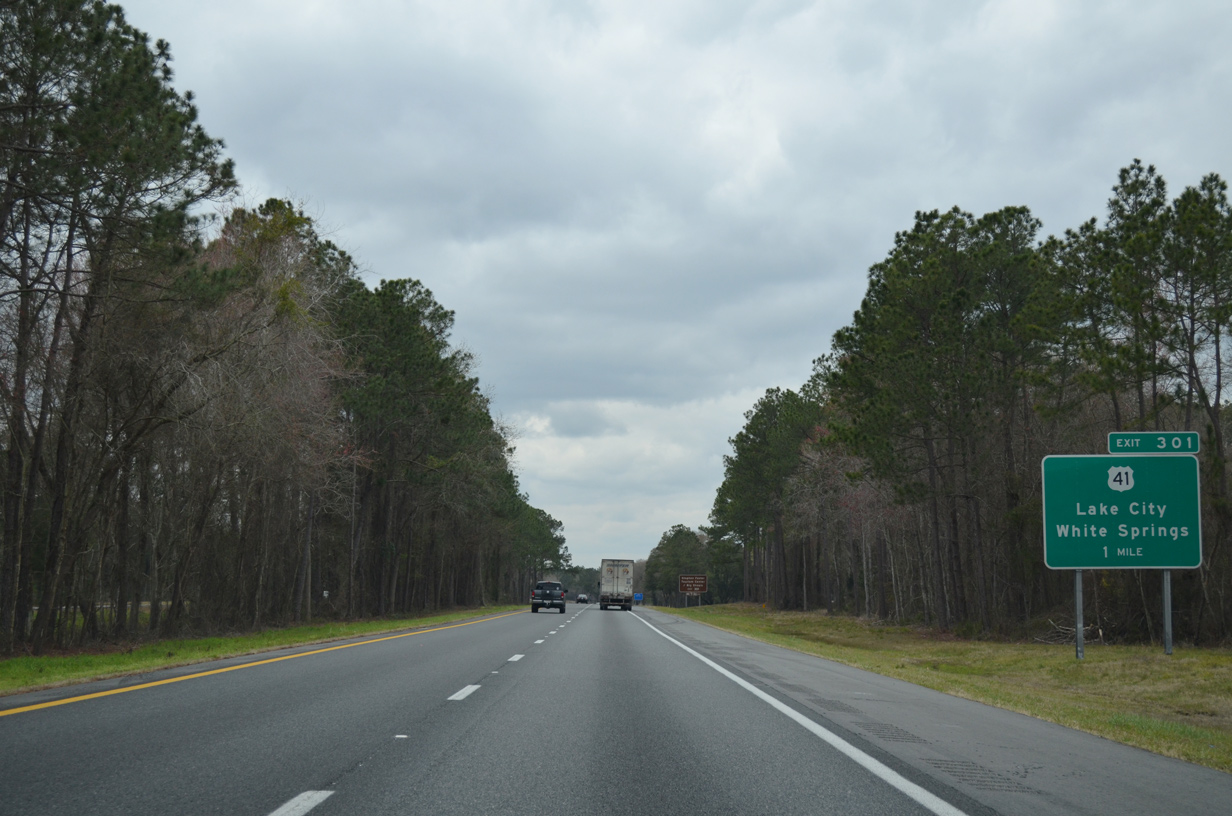
| U.S. 41 (Main Boulevard) extends north from the overlap taking U.S. 441 off Marion Avenue through Downtown Lake City to I-10 at Exit 301. U.S. 41 parallels the Norfolk Southern Railroad northwest to White Springs and Jasper. 03/03/13 |
|
| Travelers bound for the Stephen Foster Tourism Center and Big Schoals State Park are directed onto U.S. 41 north to Hamilton County. 03/03/13 |
|
| Entering the folded diamond interchange (Exit 301) with U.S. 41 on I-10 west. U.S. 41 angles southeast four miles to Downtown Lake City while U.S. 41 north follows the I-75 corridor to the east through White Springs, Jasper and Valdosta, Georgia. 03/03/13 |
|
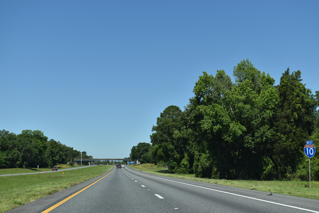
| Interstate 10 curves northwest to an area south of Indian Mound Swamp. 04/18/20 |
|
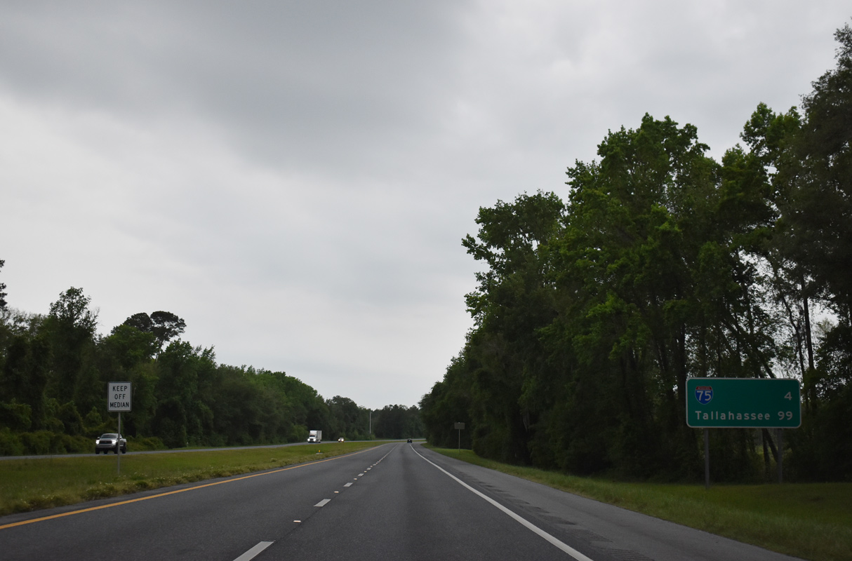
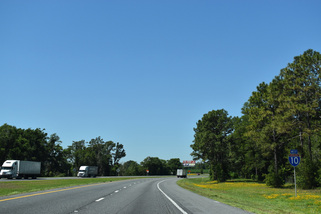
| Distance signs westward generally reference the succeeding interchange followed by the main control city. I-10 meets Interstate 75 in four miles. 04/18/20 |
|
| Bringing tourist and commerce traffic southward from the Great Lakes and Ohio Valley, I-75 comprises a six lane freeway north to Macon, Georgia and south to Alligator Alley in Southwest Florida. 04/18/20 |
|
| I-75 is the longest Interstate highway in Florida at 470.88 miles. The route originates at Hialeah in South Florida and exits the state near Jennings. Valdosta, Georgia lies 46 miles to northwest. 04/18/20 |
|
| This ground level sign for Interstate 75 was added along I-10 near the Leonia Way under crossing in 2008. A directional cloverleaf interchange joins the two freeways at Exit 296. 04/18/20 |
|
| Interstate 75 travels north from Exit 296B to White Springs en route to South Georgia and Atlanta. Signs for Exit 296 along I-10 west were replaced in kind by 2013. 04/18/20 |
|
| St. Petersburg represents the former south end of Interstate 75. I-75 splits with I-275 south in 160 miles outside of Tampa. I-275 loops west to Pinellas County while I-75 stays inland through Hillsborough County. 04/18/20 |
|
| A loop ramp (Exit 296A) joins Interstate 75 south on the west side of Lake City. The freeway continues to Gainesville and Ocala. 05/02/20 |
|
| Continuing west, Interstate 10 passes by Turkey Prairie en route to a set of rest areas. 05/02/20 |
|
| A $26 million project underway from Spring 2020 to 2022 replaces the westbound rest area in Columbia County and the eastbound rest area located in Suwannee County near Tiger Bay.1 05/02/20 |
|
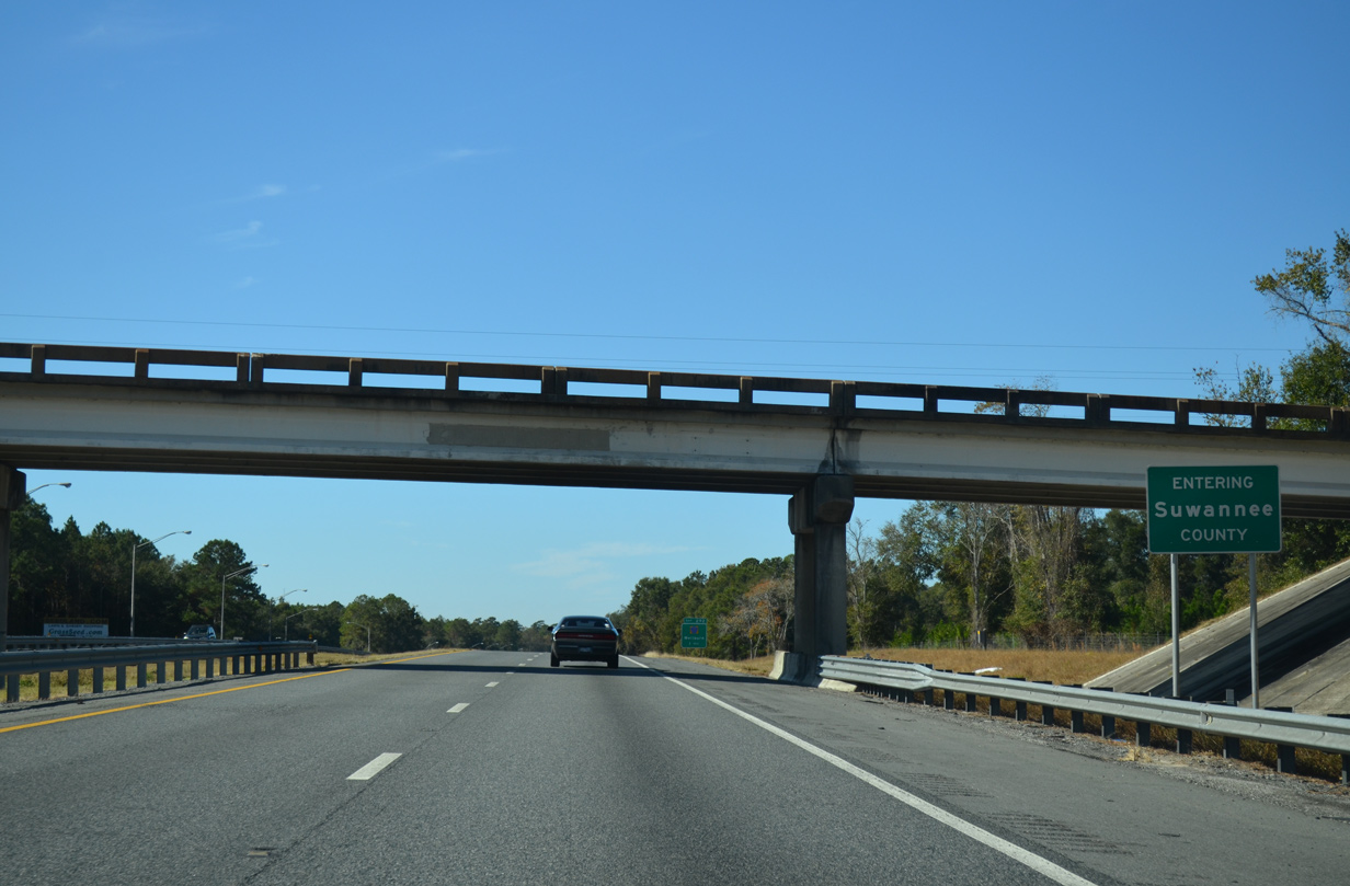
| Adams Road passes over Interstate 10 westbound at the Suwannee County line. I-10 traveled 20.69 miles across Columbia County. 11/20/14 |
|
| The first of three Suwannee County interchanges along I-10 west is with CR 137 at Exit 292. CR 137 measures 26.23 miles in length between U.S. 27 at Hildreth and CR 136 at Pouchers Corner. 05/02/20 |
|
| CR 137 heads four miles south from the folded diamond interchange (Exit 292) with I-10 to Wellborn and north 2.5 miles to CR 136 at Pouchers Corner. 05/02/20 |
|
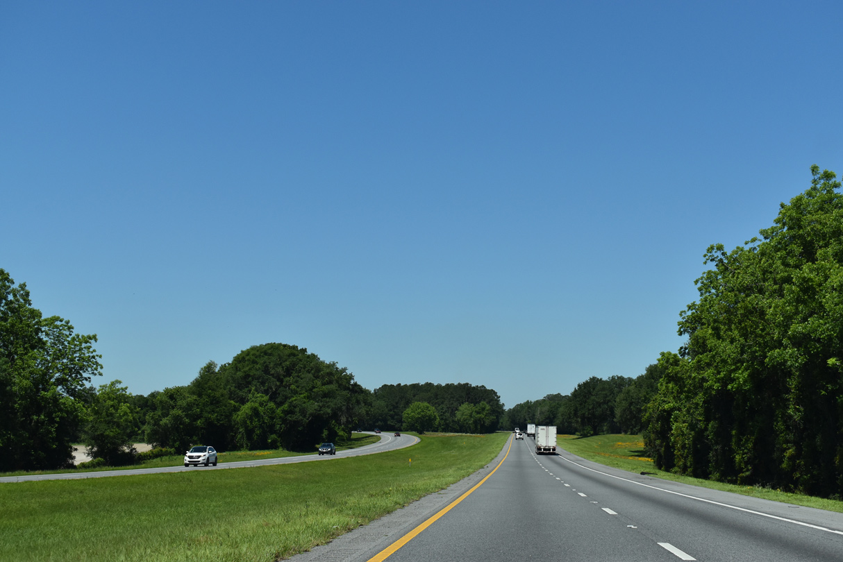
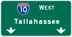
| Live Oak, the county seat, follows in 11 miles via U.S. 129. Tallahassee is 90 miles to the west. 05/02/20 |
|
| The roadways for Interstate 10 split at milepost 287 south of Dexter Lake and east of the SR 136 overpass. 11/20/14 |
|
| One mile east of the diamond interchange (Exit 283) with U.S. 129 on Interstate 10 west. 05/02/20 |
|
| Exit 283 departs Interstate 10 west for U.S. 129. U.S. 129 travels north two miles from Downtown Live Oak to meet the freeway. 05/02/20 |
|
| U.S. 129 continues 13 miles north to Jasper and 28 miles into Georgia, south of Statenville. 01/16/16 |
|
| Interstate 10 arcs northward from Live Oak near Rixford, continuing seven miles to U.S. 90 near Falmouth. 05/02/20 |
|
| This distance sign posted 81 miles out from Tallahassee was installed by 2013. 05/02/20 |
|
| Interstate 10 rises to 150 feet above sea level on this straight away preceding the County Road 249 overpass. 11/20/14 |
|
| A wide median ensues along I-10 west of the CR 249 overpass to mile marker 277. 05/02/20 |
|
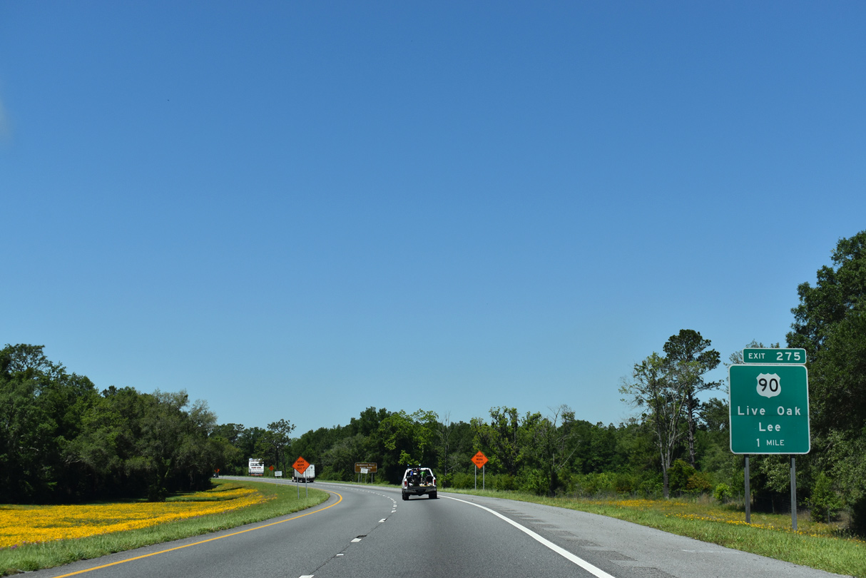
| U.S. 90 and an adjacent CSX Railroad line bee line westward from Live Oak to meet Interstate 10 at a folded diamond interchange (Exit 275). U.S. 90 continues northwest to Falmouth and Ellaville. 05/02/20 |
|
| Exit 275 loops to U.S. 90 from Interstate 10 west. U.S. 90 crosses the Suwannee River by Suwannee River State Park en route to Lee. The missing arrow notwithstanding, this sign was knocked down in 2022. 05/02/20 |
|
| Interstate 10 curves west besides agricultural areas from U.S. 90 to 158th Road, south of Falmouth. 05/02/20 |
|
| A longer exit less stretch leads I-10 west to Madison County Road 255 at Exit 262. Tallahassee is just over an hour away. 05/02/20 |
|
| Agricultural inspection stations operate in both directions of Interstate 10 in western Suwannee County. 05/02/20 |
|
| All trucks and vehicles towing trailers must enter the agricultural inspection station. This includes rentals. 05/02/20 |
|
| Interstate 10 spans the Historic Suwannee River on a pair of bridges built in 1971. 05/02/20 |
|
| The 25.51 mile stretch of Interstate 10 west through Suwannee County concludes at the mid point of the Suwannee River as the freeway enters Madison County. 05/02/20 |
Page Updated 11-12-2021.

 West
West