
Traveling 29.39 miles, Interstate 15 angles across the northwestern corner of the Grand Canyon State connecting Mesquite, Nevada with St. George, Utah. The freeway winds through the Virgin River Gorge between Littlefield and the Utah state line. I-15 was constructed through the over 500 million year old gorge in phases from the 1960s into the early 1970s, opening to traffic in 1973. As part of construction, the Virgin River was re-channelled 12 times1. The scenic section of freeway was once considered the most expensive Interstate highway constructed until the "Big Dig" in Boston (I-93) was completed in 2003.
 South
South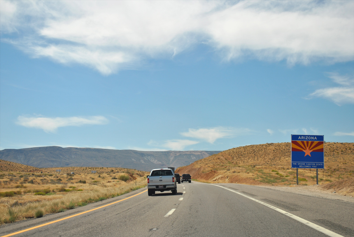
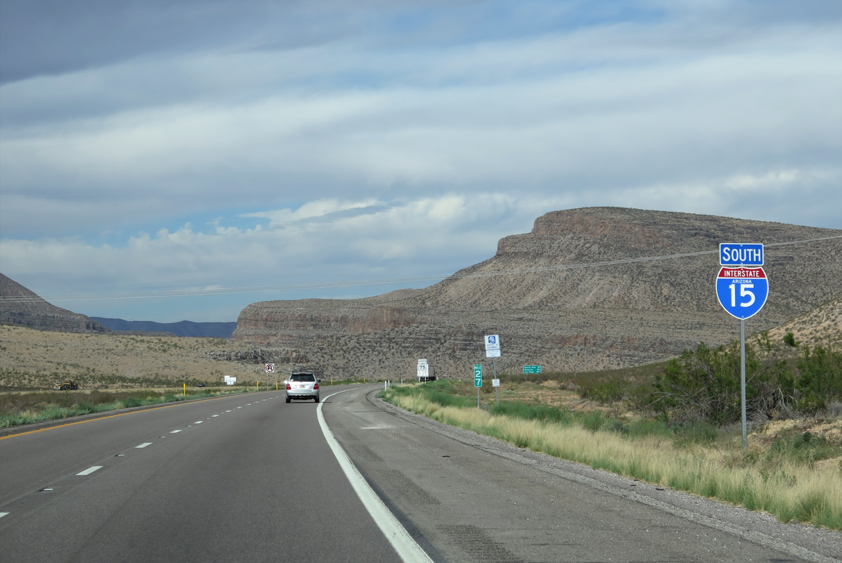
Interstate 15 south enters Mohave County, Arizona from Utah ahead of Exit 27 for Black Rock Road.
08/12/11

I-15 within the Grand Canyon State is designated the Veterans Memorial Highway.
08/26/14
08/26/14
08/12/11

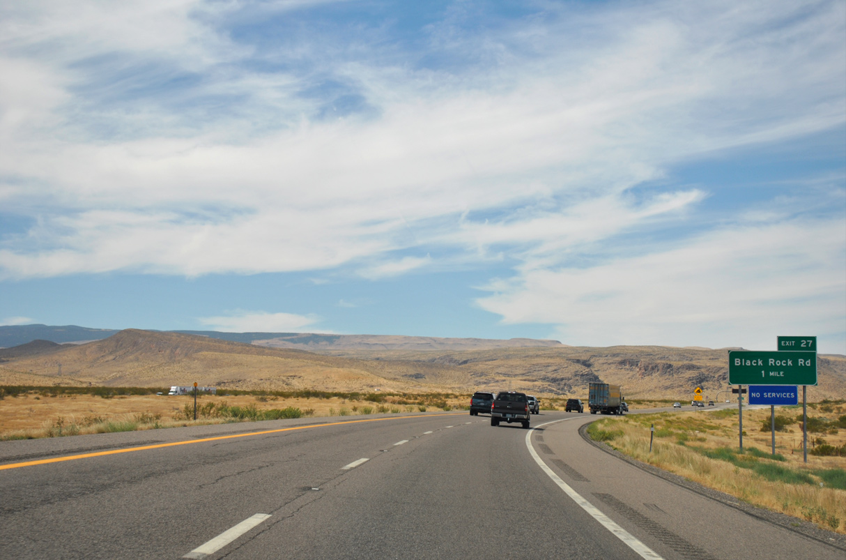
Black Rock Road spurs south from Interstate 15 into the Virgin Mountains.
08/26/14
08/26/14

Transmission lines cross Interstate 15 southwest of Exit 27.
07/12/15

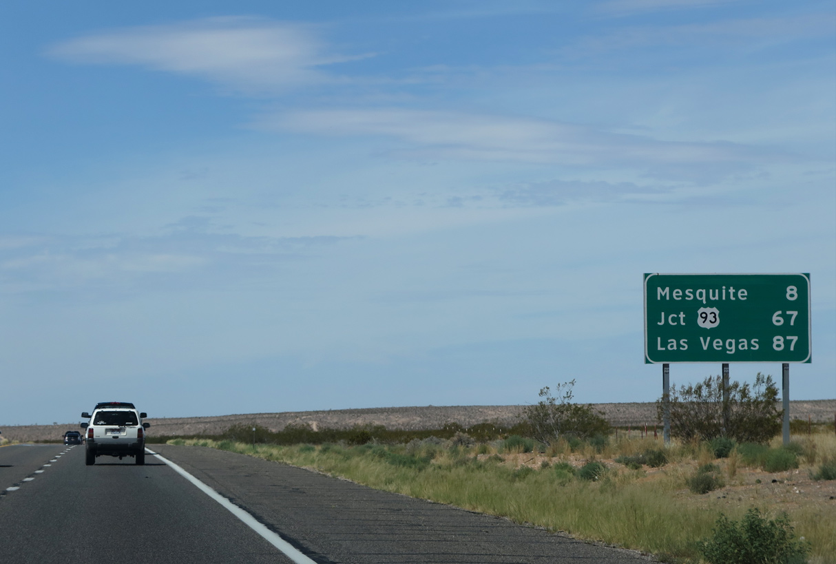
Mesquite, Nevada lies 28 miles ahead, beyond the Virgin River Gorge and Beaver Dam (19 miles). Las Vegas is located 107 miles in the southeast part of the Silver State.
07/12/15
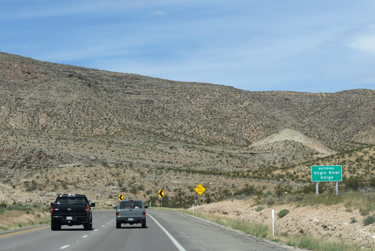
I-15 south enters the Virgin River Gorge beyond Black Rock Road.
07/12/15

07/12/15

08/12/11

08/12/11

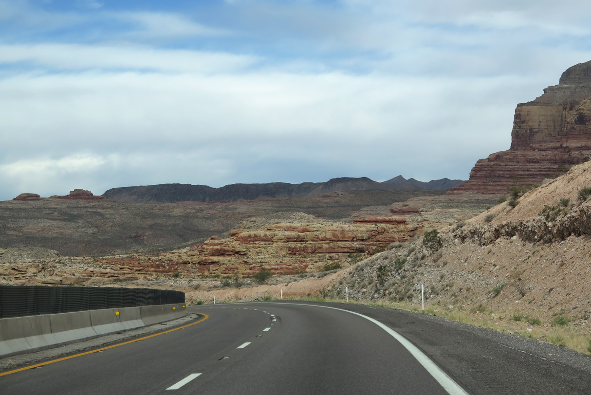
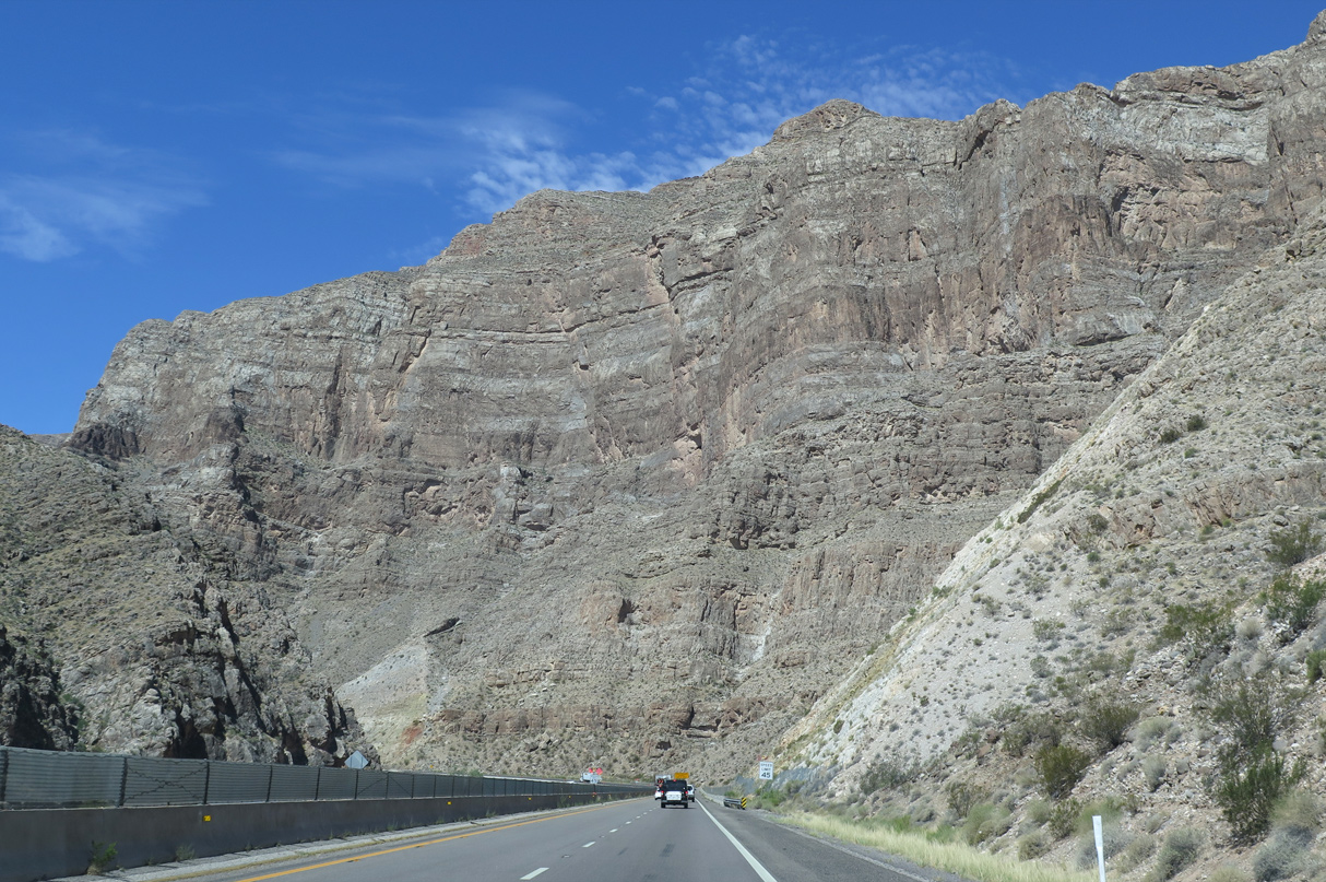
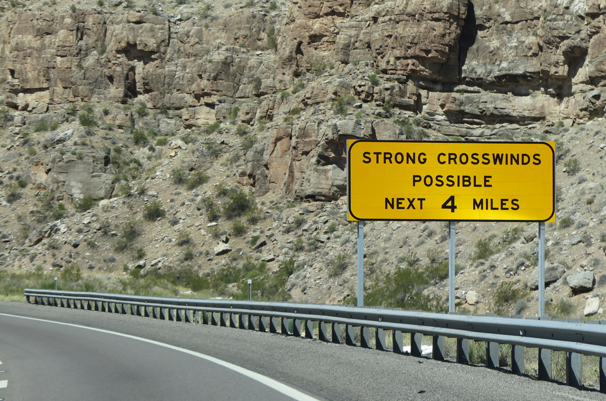
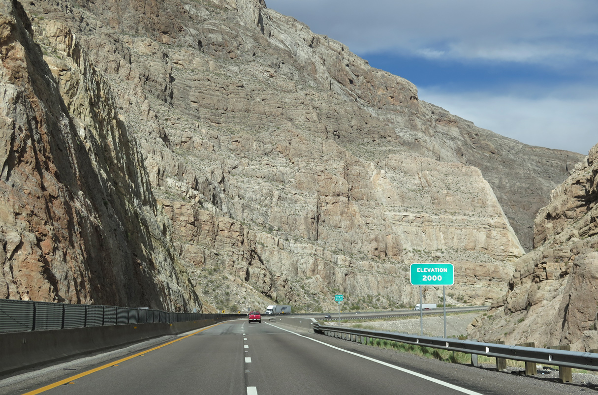
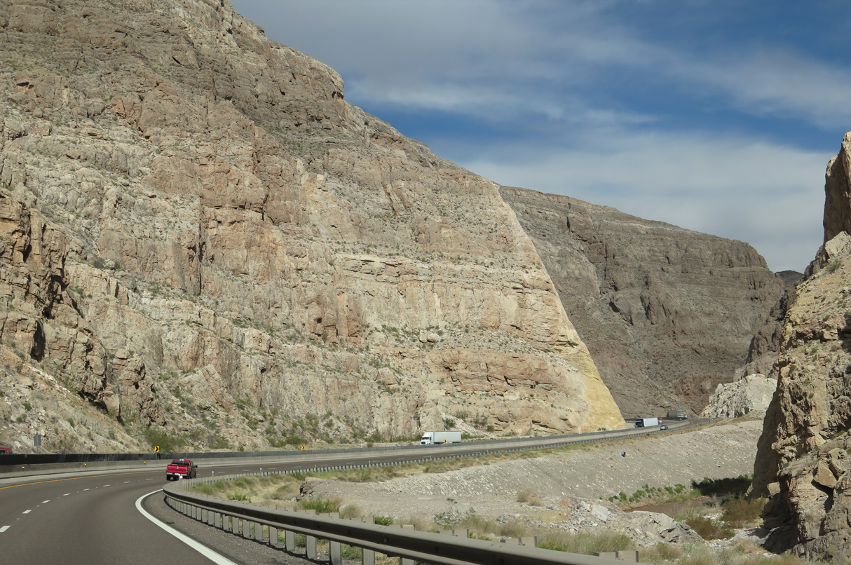
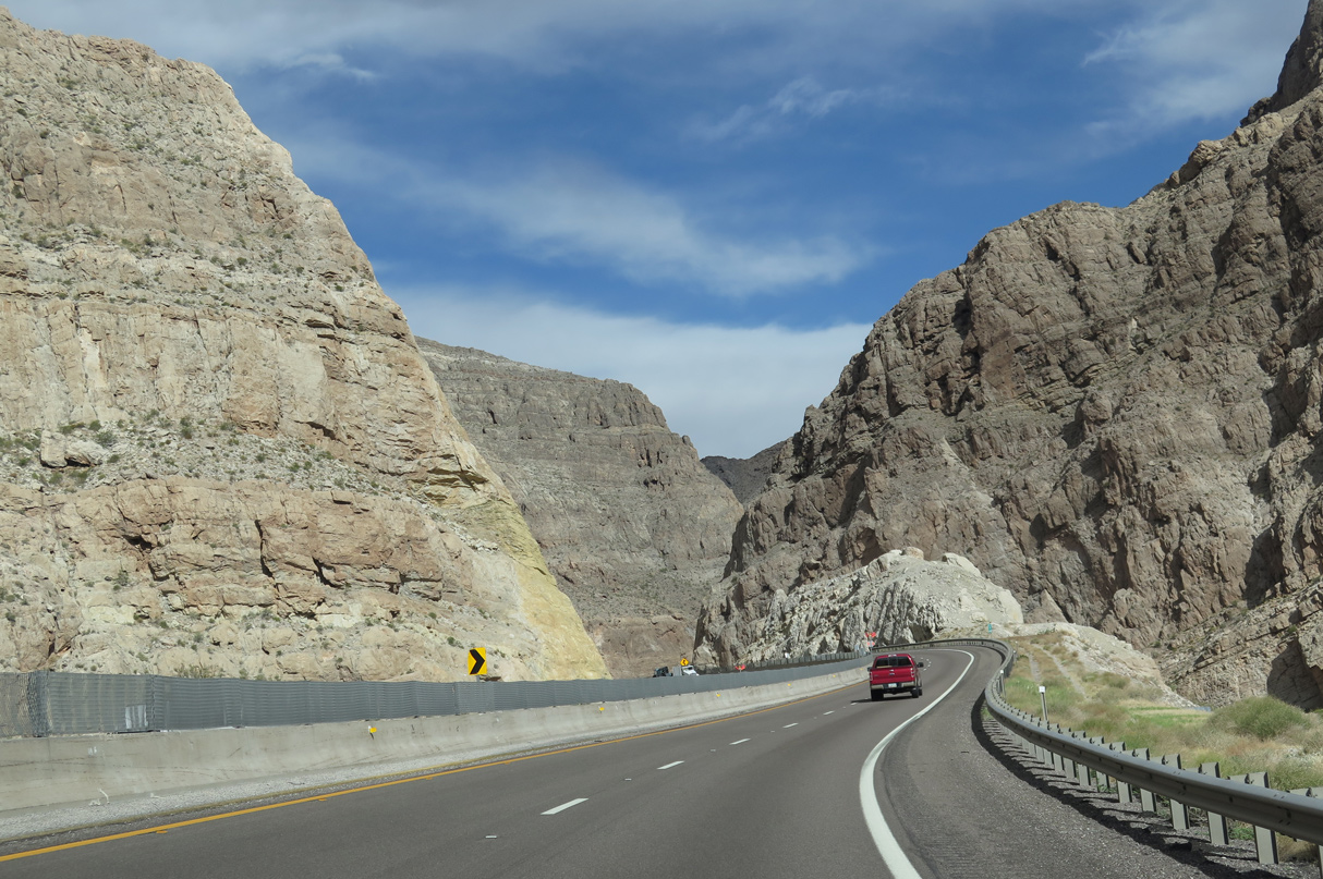
Interstate 15 winds through the Virgin River Gorge for the next 11 miles.
07/12/15
08/26/14

07/12/15

08/26/14

07/12/15

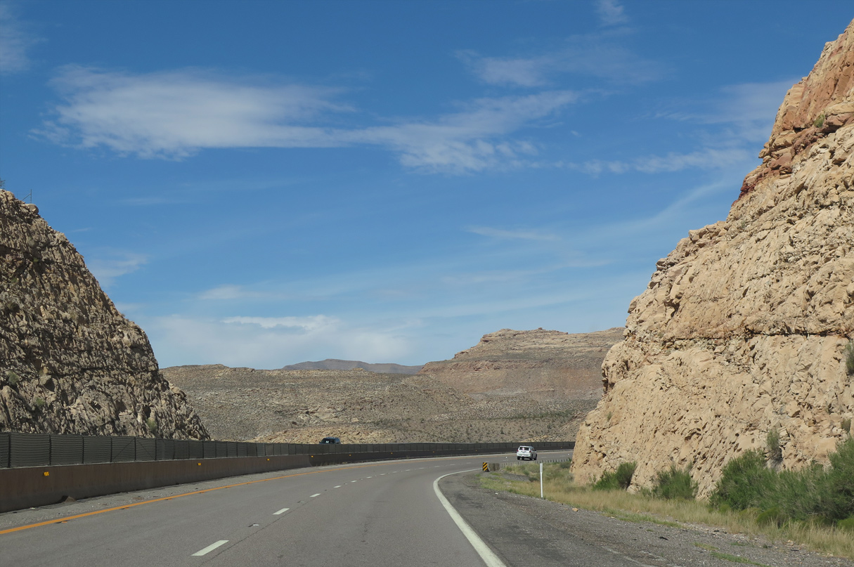
I-15 crosses over the Virgin River numerous times through the gorge. The river originates in southwestern Utah north of Zion National Park.
07/12/15
07/12/15

07/12/15

07/12/15

07/12/15

The Nevada State line is 20 miles ahead.
07/12/15

07/12/15
07/12/15

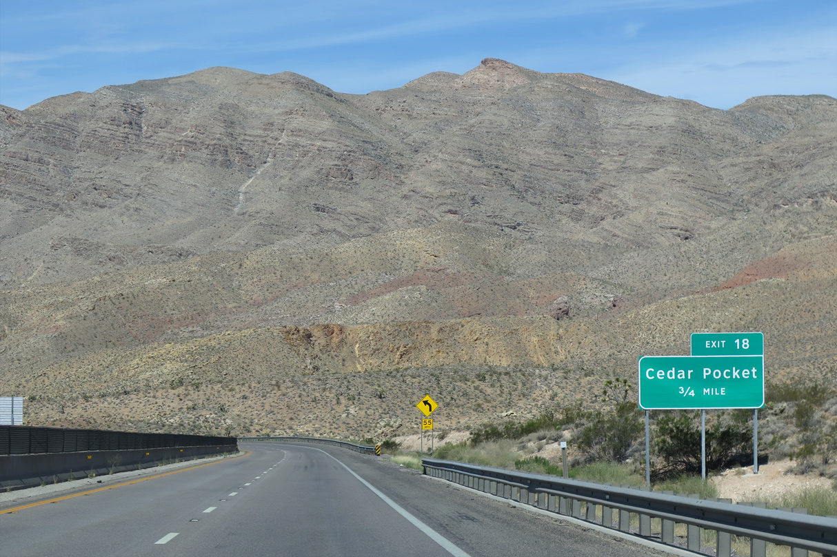
Exit 18 at Cedar Pocket connects Interstate 15 with the Virgin River Gorge Recreation Area, which includes camping and hiking facilities.
08/17/13

07/12/15
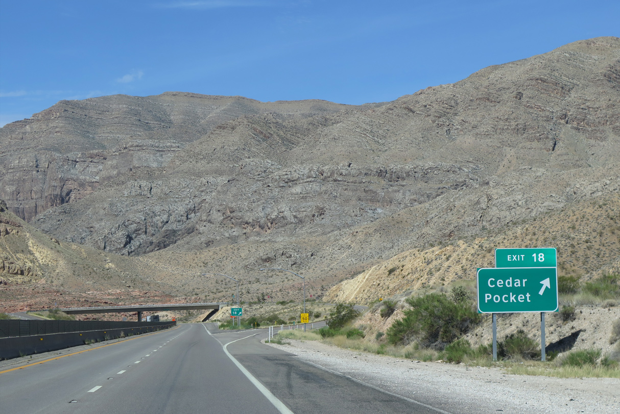
Exit 18 at Cedar Pocket also serves the Paiute and Beaver Dam Wilderness Areas.
07/12/15
08/26/14

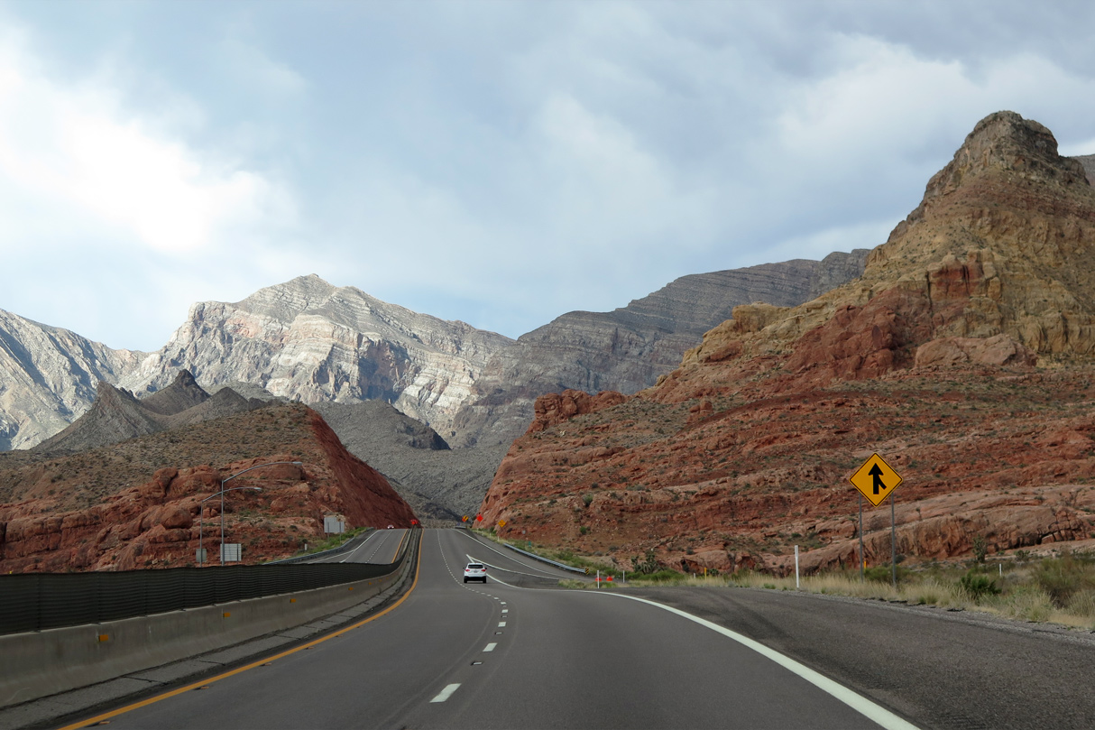
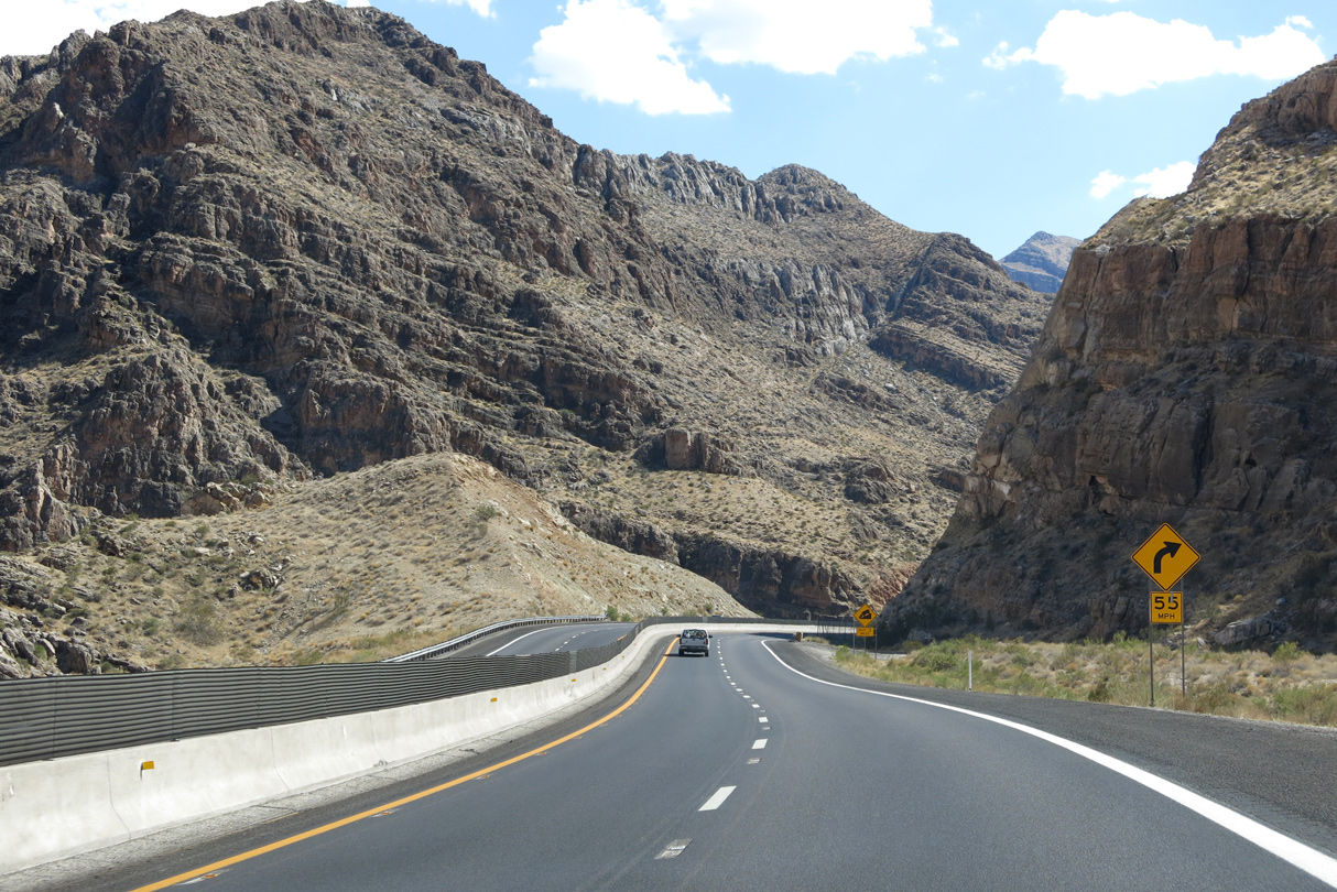
Interstate 15 continues through a series of S-curves in the Virgin River Gorge beyond Exit 18.
08/26/14

07/12/15
07/12/15
07/12/15
08/17/13

The Virgin River flows 162 miles from the Navajo Reservoir in Utah to the Colorado River at the Lake Mead reservoir in southeast Nevada.
08/17/13

08/17/13

08/17/13

08/17/13
08/12/11
08/26/14
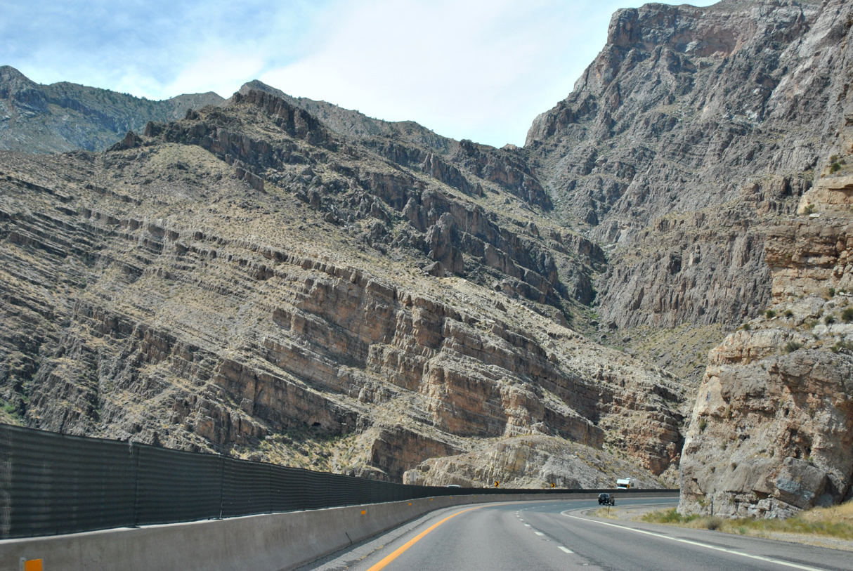
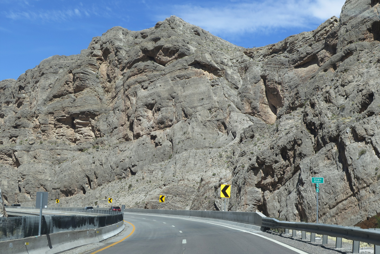
This section of the Virgin River Gorge is typically called The Narrows.
08/26/14
08/26/14

08/26/14

07/12/15

07/12/15
07/12/15

07/12/15

07/12/15

07/12/15
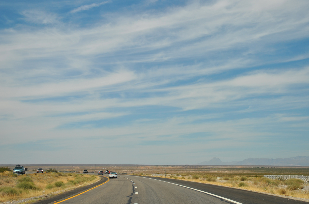
Interstate 15 emerges from the Virgin River Gorge into wide open desert ahead of Littlefield and Mesquite.
08/12/11

08/26/14

Exit 9 joins Interstate 15 with Desert Springs Road in one mile.
08/26/14

08/26/14

07/12/15
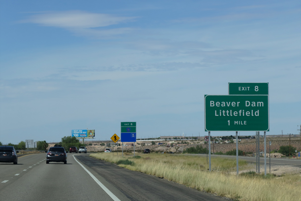
Exit 8 joins I-15 with CR 91 (old U.S. 91) to Littlefield and Beaver Dam in one mile.
07/12/15

CR 91 follows Cane Beds Road into Beaver Dam and Fairview Avenue to Littlefield and the Nevada state line. CR 91 bypasses the Virgin River Gorge by following a circuitous route to the northwest.
07/12/15
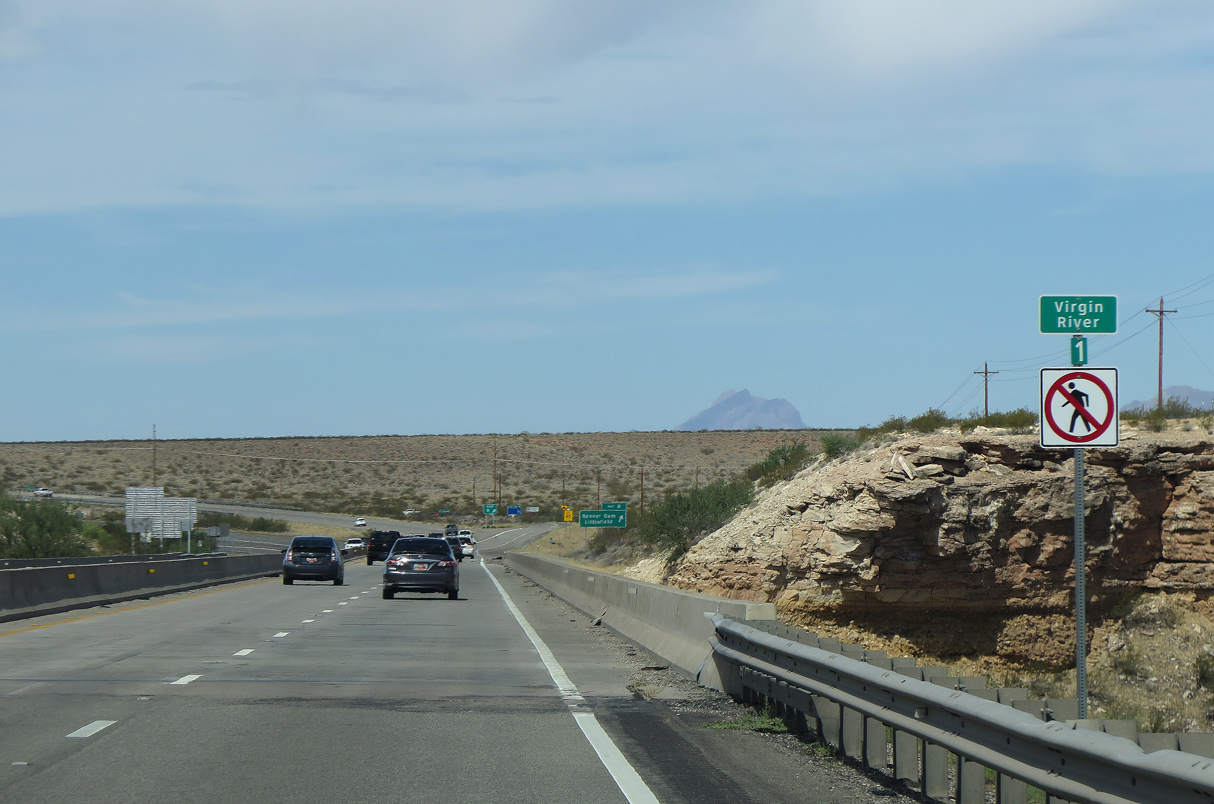
Interstate 15 southbound crosses the Virgin River between Farm Road (Exit 9) and CR 91 (Exit 8).
07/12/15

CR 91 (Cane Beds Road) travels north from Exit 8 across a tributary of the Virgin River into the town of Littlefield.
08/26/14

08/26/14
Interstate 15 passes north of Mesquite, Nevada eight miles ahead.
07/12/15

I-15 lowers in elevation between Littlefield and Mesquite. Virgin Peak (el. 8,075 ft) rises along the horizon as the Virgin Mountains continue into the Silver State.
07/12/15
08/26/14
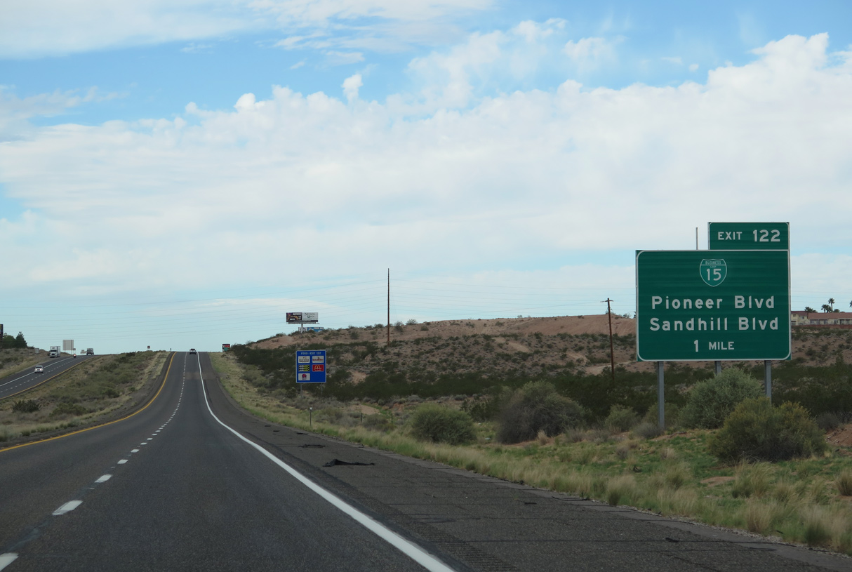
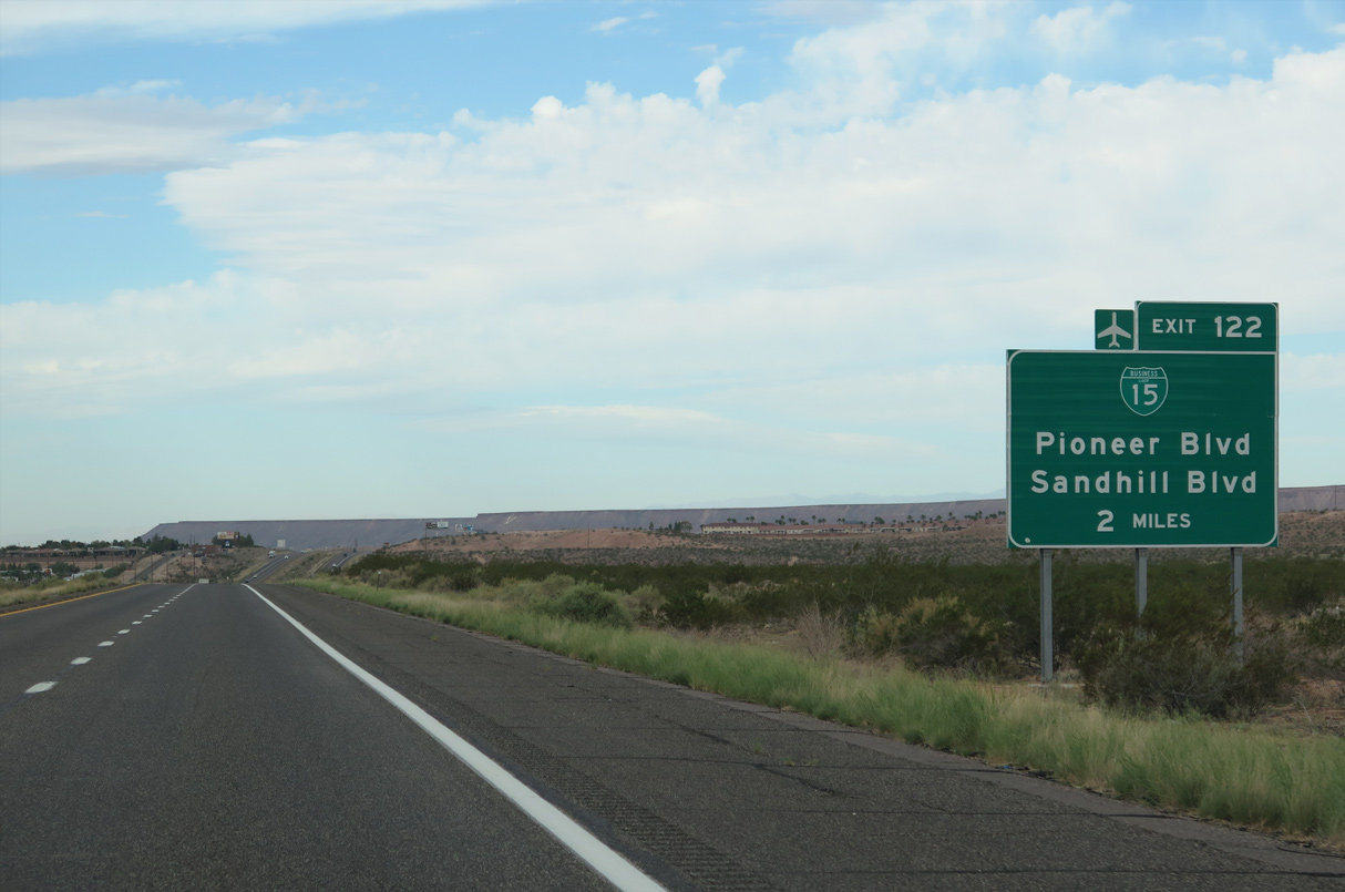
Sandhill Boulevard (Business Loop I-15) travels south from Exit 122 into Downtown Mesquite. Pioneer Boulevard loops northward into residential areas of north Mesquite.
08/26/14

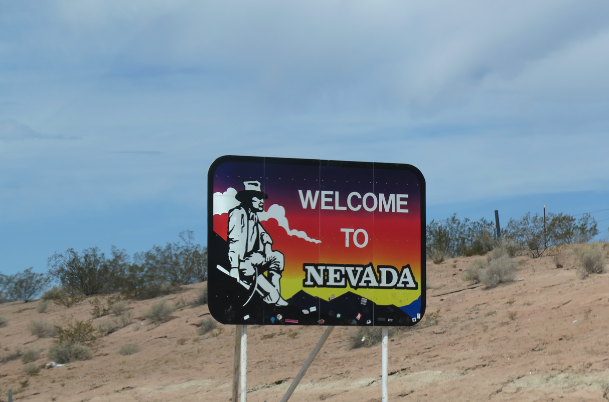
Interstate 15 south crosses into the Silver State ahead of Exit 122 for Sandhill / Pioneer Boulevard.
08/26/14
07/12/15
Sources:
- Dwight D. Eisenhower System of Interstate and Defense Highways Engineering Marvels, Public Roads - Summer 1996.
Photo Credits:
08/12/11, 08/17/13, 08/26/14, 07/12/15 by AARoads
Connect with:
Page Updated 02-12-2022.