
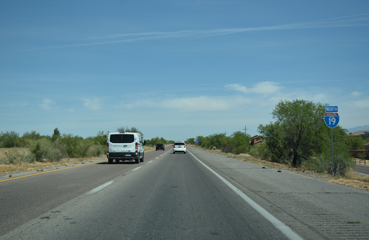
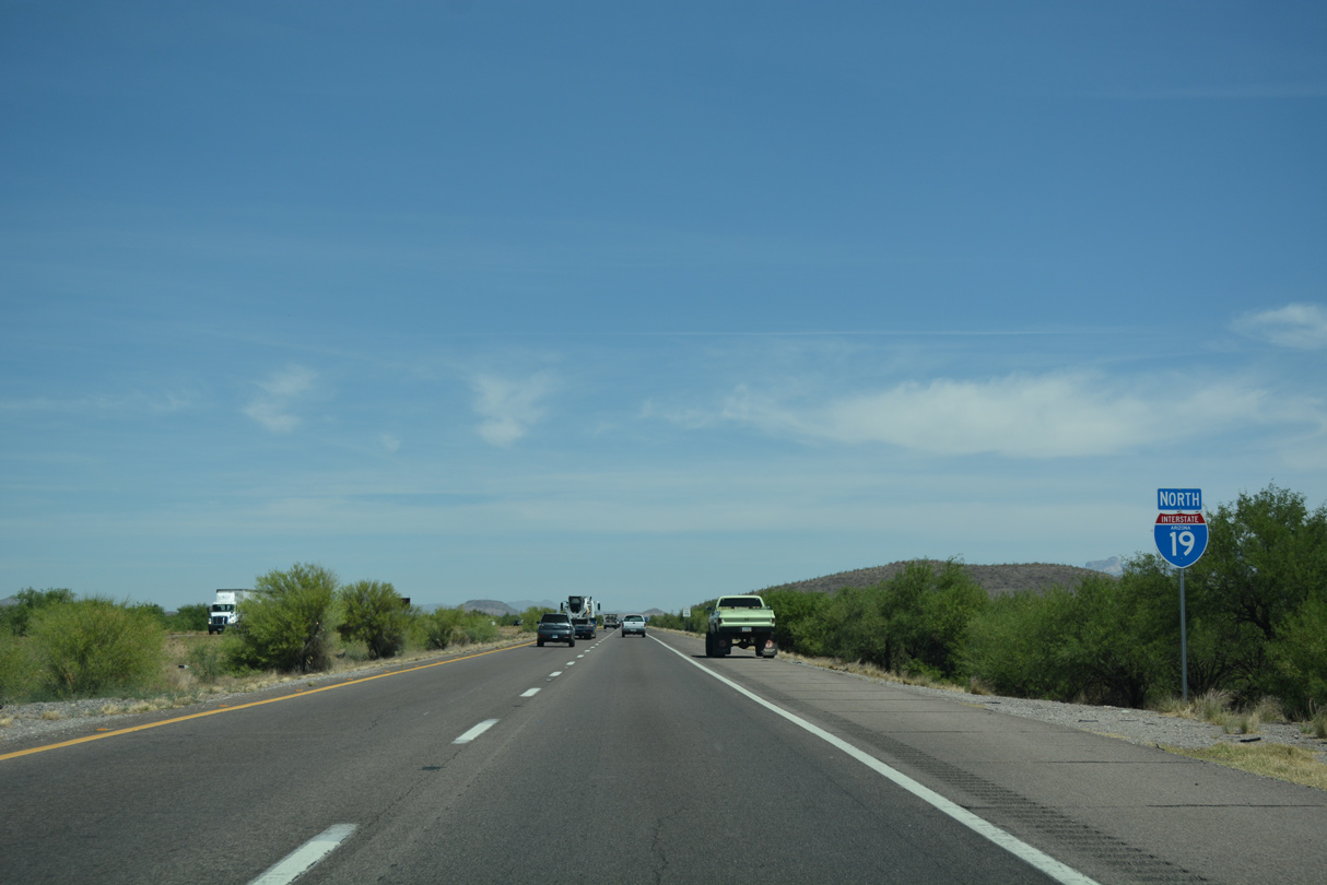
 North
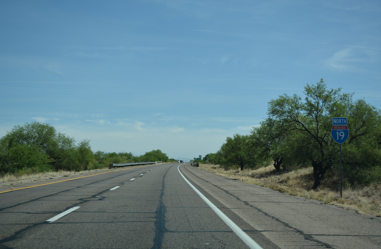
North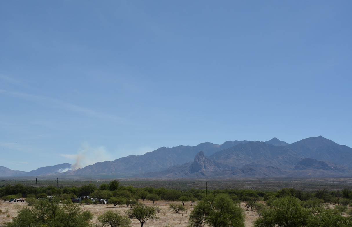
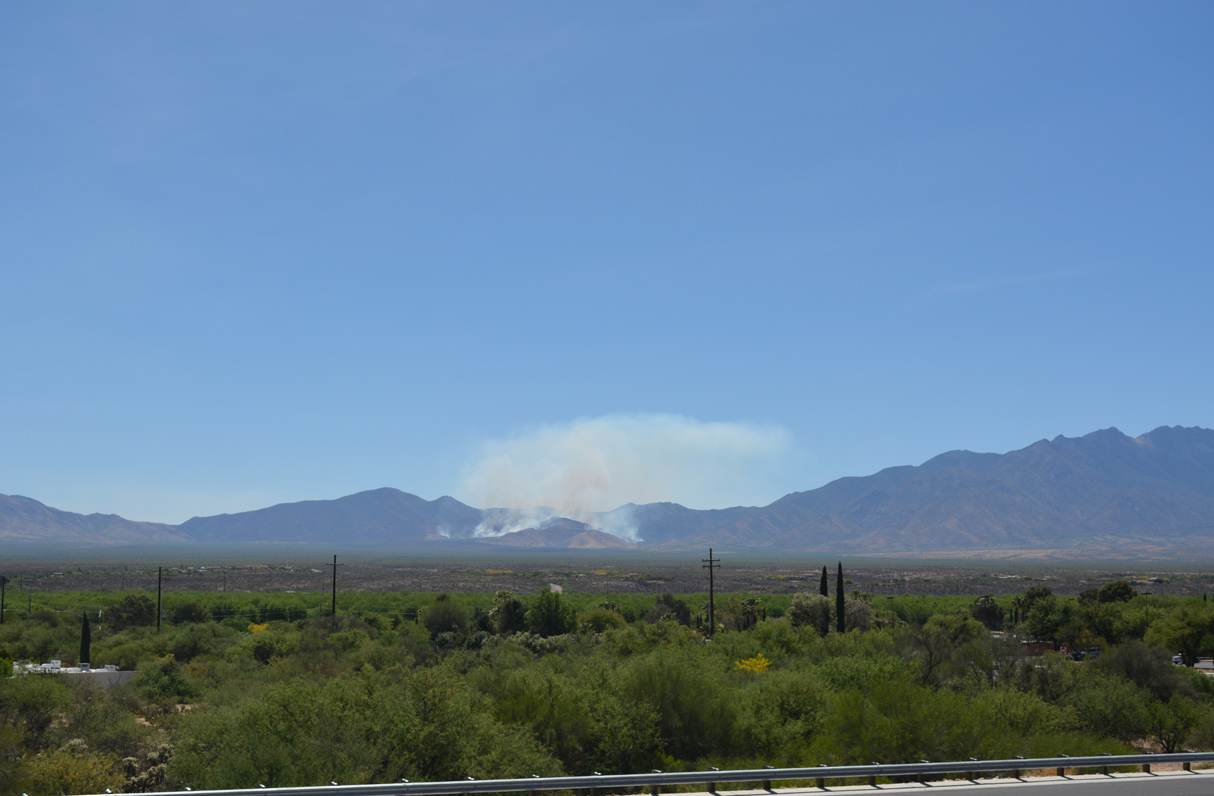
Mount Wrightson tops out the Santa Rita Mountains to the east of Interstate 19.
04/26/17
04/26/17
04/26/17
04/26/17
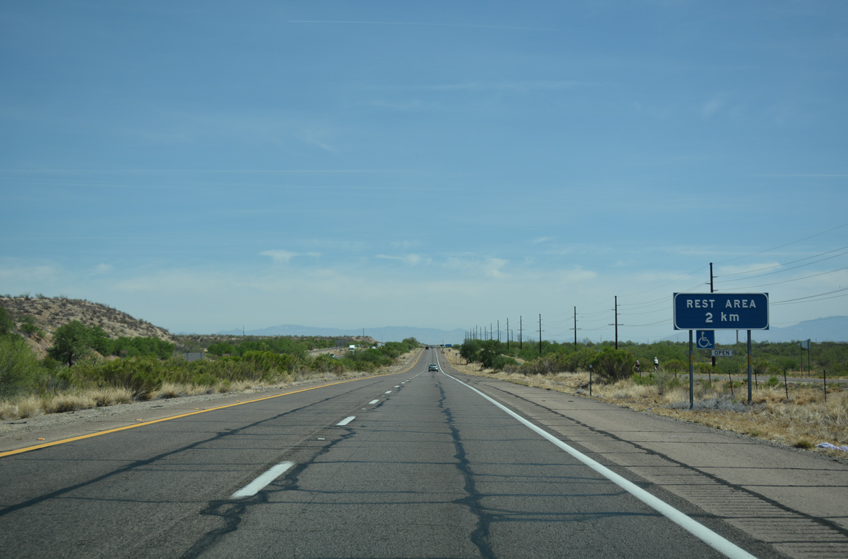
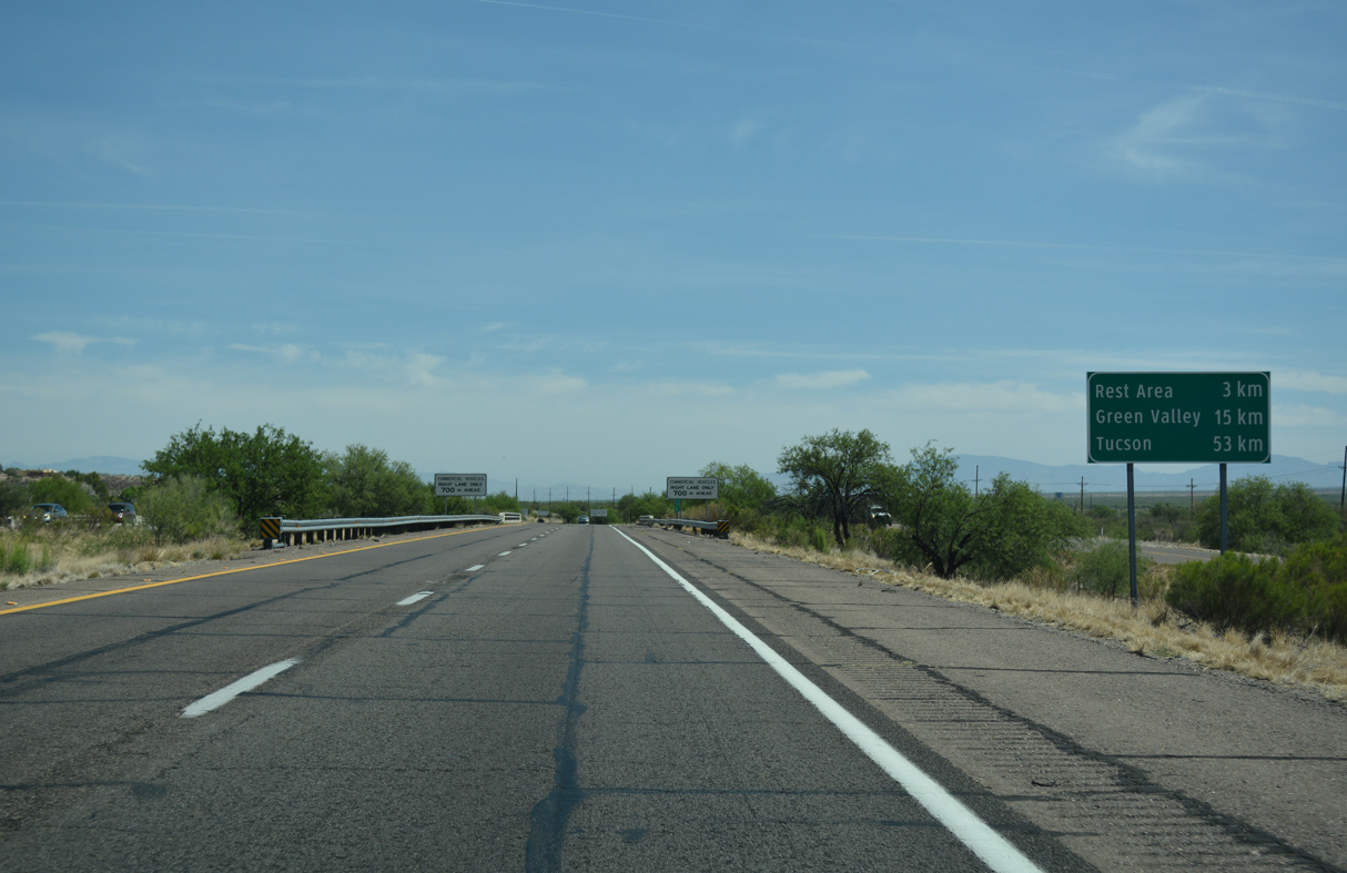
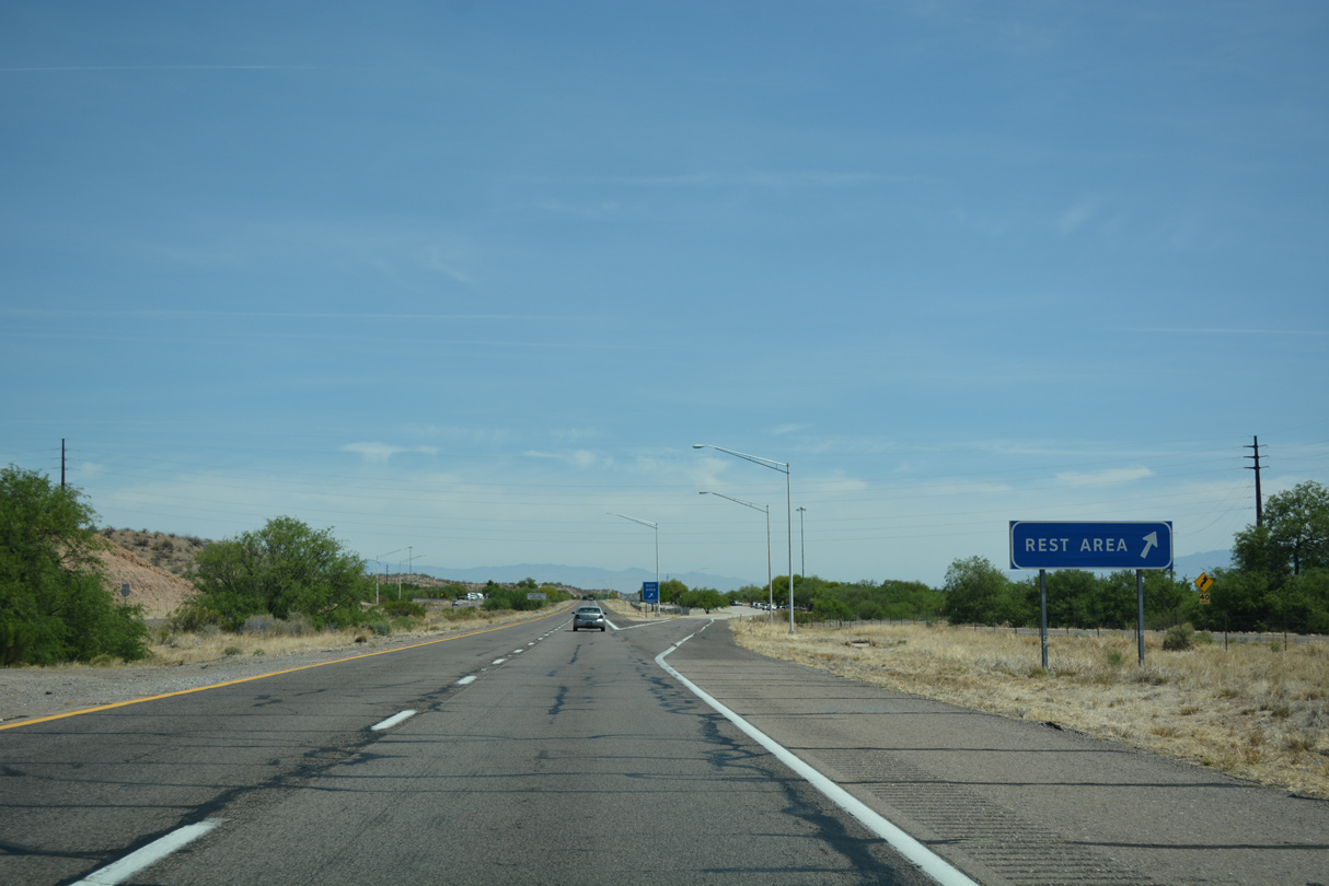
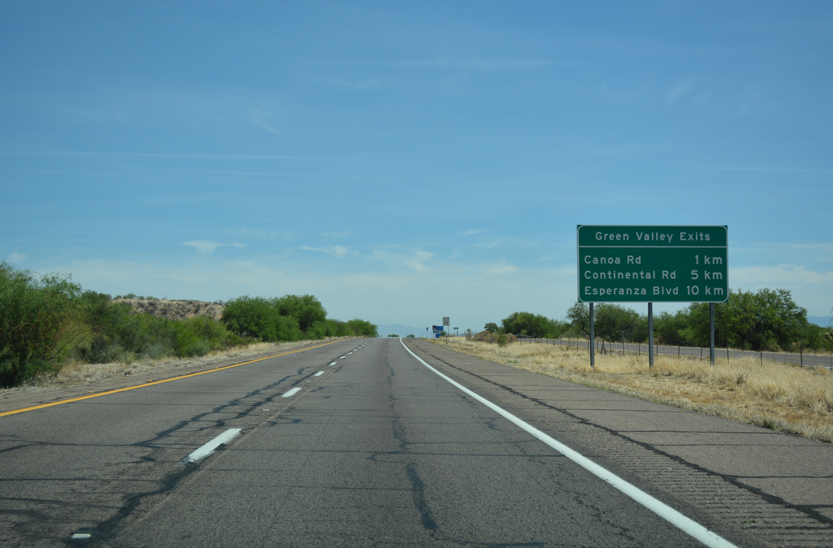
Located between mileposts 32 and 33, the Canoa Ranch Rest Area is the lone facility along Interstate 19.
04/26/17

04/26/17
04/26/17
04/26/17
04/26/17
04/26/17
04/26/17
04/26/17
04/26/17
04/26/17
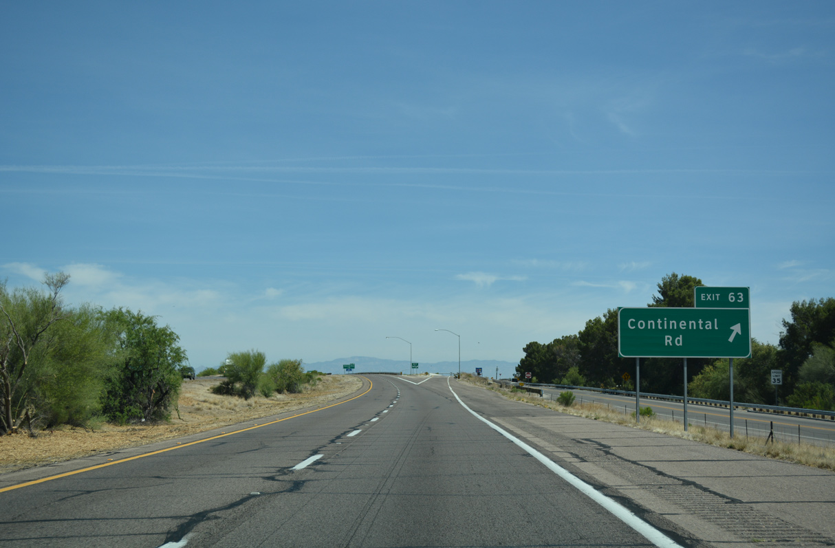
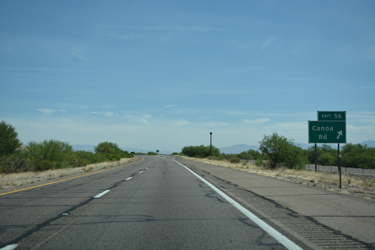
White House Canyon Road stems southeast from Continental Road near Exit 36 to Madera Canyon Recreation Area. The park offers picnic areas and hiking, at approximately a 5000 feet in elevation within the Santa Rita Mountains.
04/26/17
04/26/17
04/26/17
04/26/17
04/26/17
04/26/17
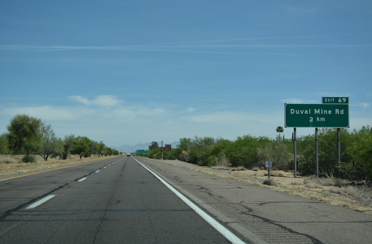
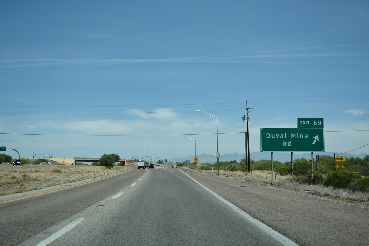
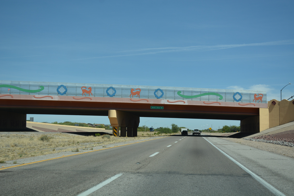
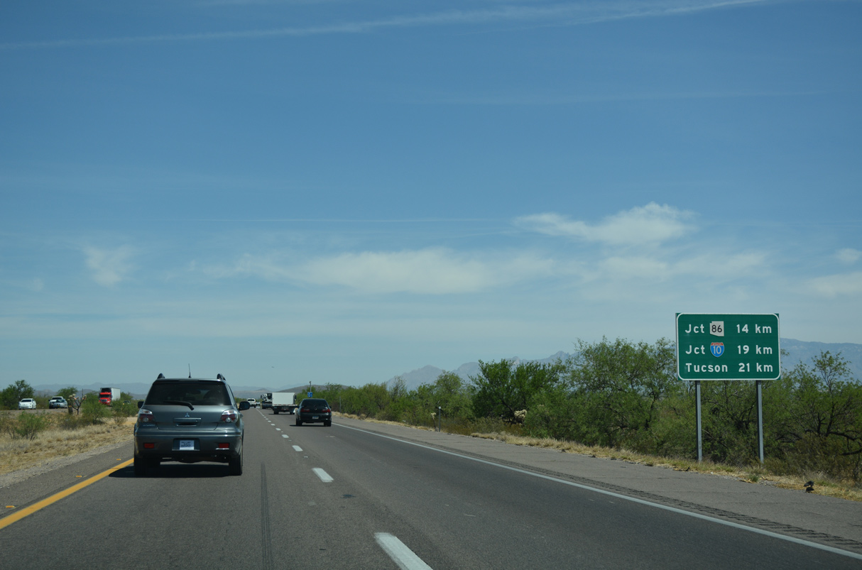
Duval Mine Road angles northeast from Sierrita Mine and Twin Buttes Mine to meet I-19 at Exit 69 opposite Nogales Highway, old U.S. 89 north to Tucson.
04/26/17
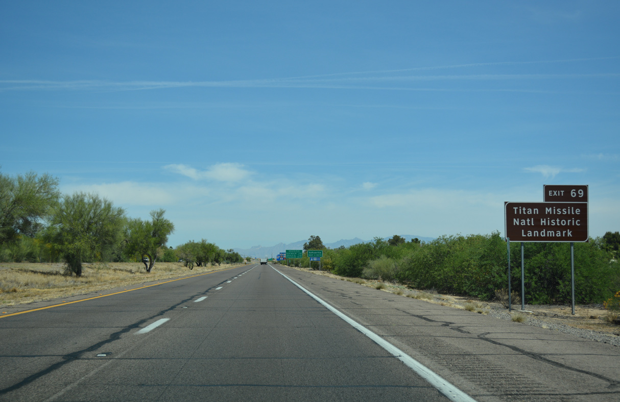
Points of interest for Exit 69 include Titan Missile National Historical Landmark. The Landmark, operated by the Pima Air Museum, is the last remaining Titan ICBM missile site from the network operated between 1963 and 1987.
04/26/17
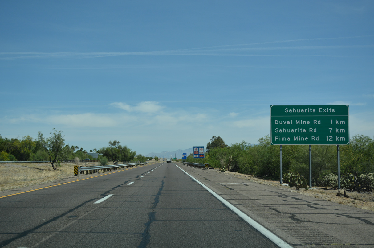
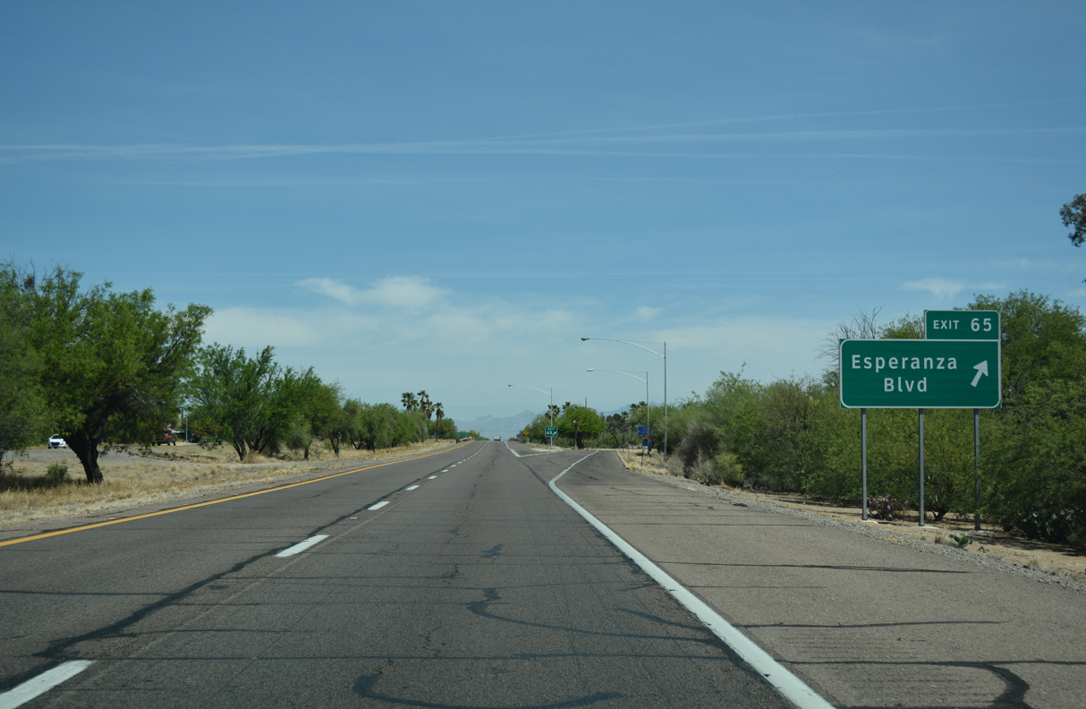
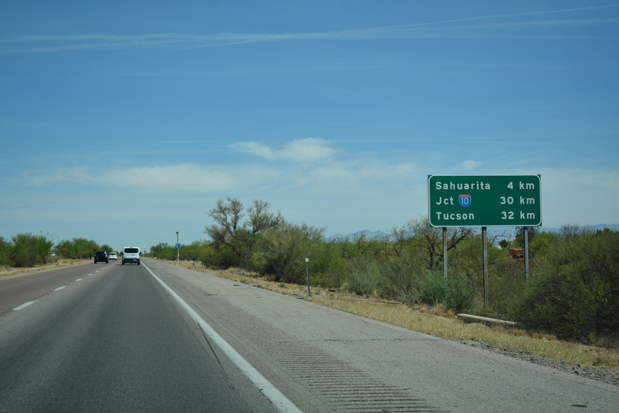
Nogales Highway is the first of three exits for the town of Sahuarita.
04/26/17
Nogales Highway north from Exit 69 was part of Business Loop I-19, 20.5 miles to I-10 at 6th Avenue and South Tucson.
04/26/17
The diamond interchange at Exit 69 was reconstructed into a smaller footprint during road construction in 2005.
04/26/17
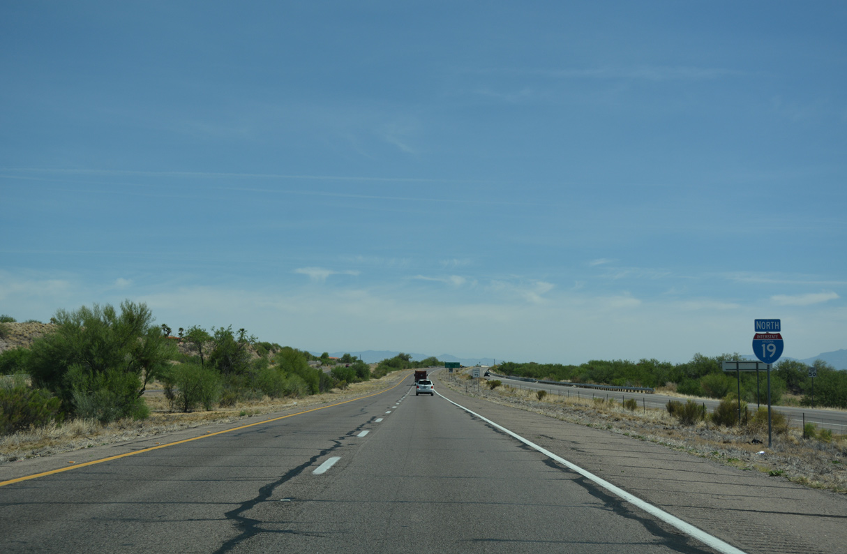
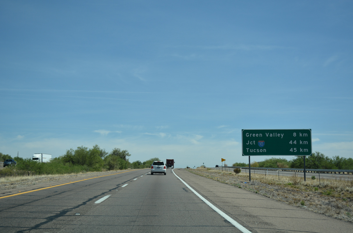
The terrain flattens out as Interstate 19 advances north through Santa Cruz Valley toward Tucson.
04/26/17
04/26/17
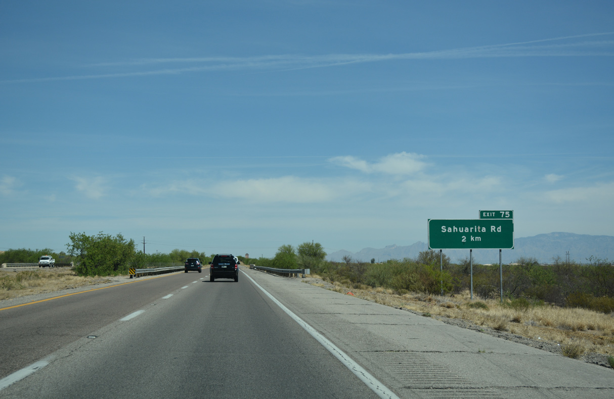
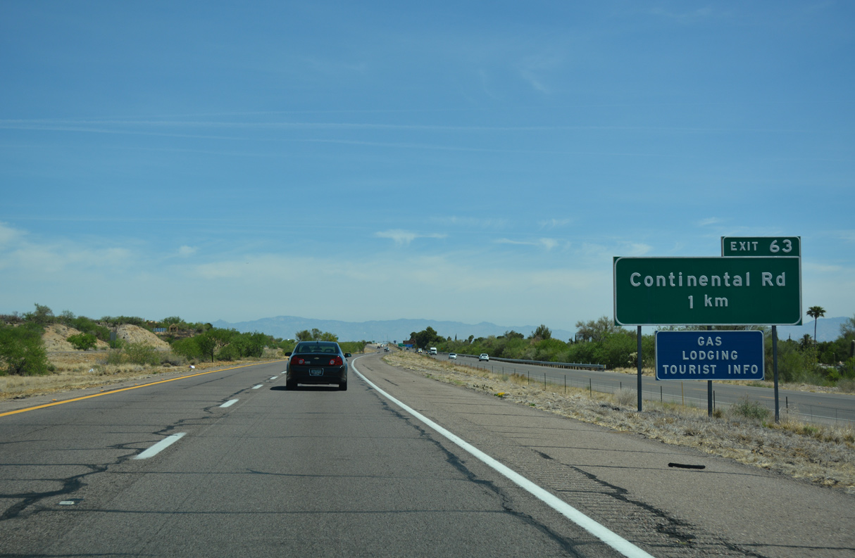
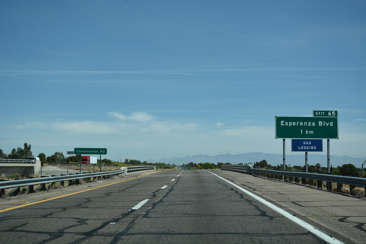
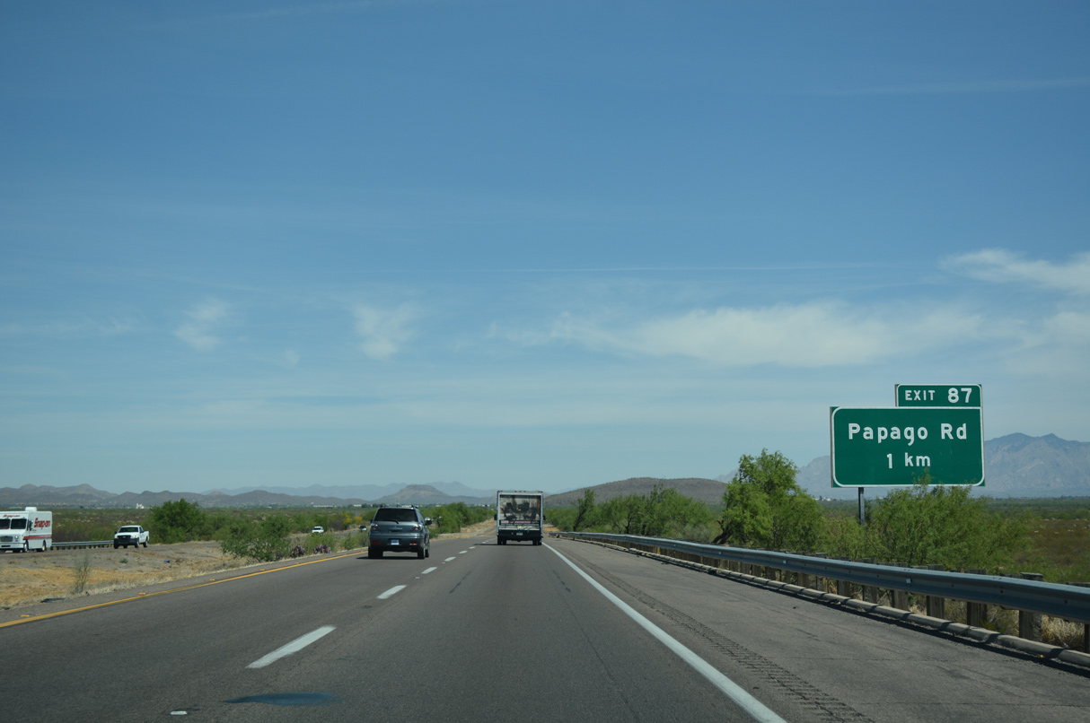
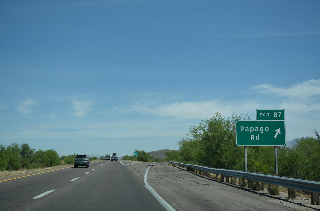
Sahuarita Road is a four lane arterial heading east from Exit 75 to Sahuarita Town Hill, Sahuarita High School and former Business Loop I-19 (Nogales Highway).
04/26/17
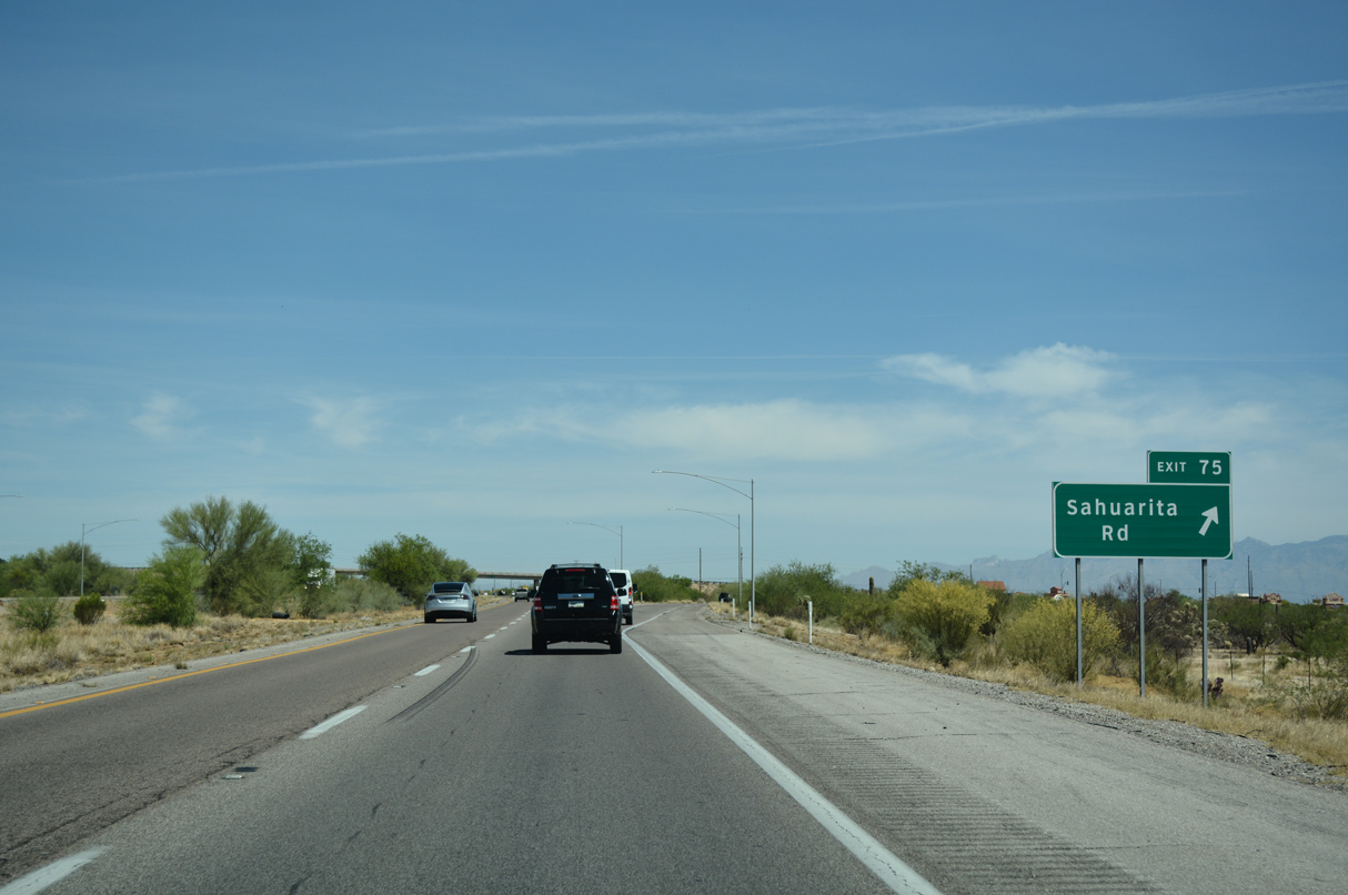
Interstate 19 north at the Helmet Peak interchange (Exit 75) in Sahuarita.
04/26/17

04/26/17
04/26/17
04/26/17
04/26/17
04/26/17
04/26/17
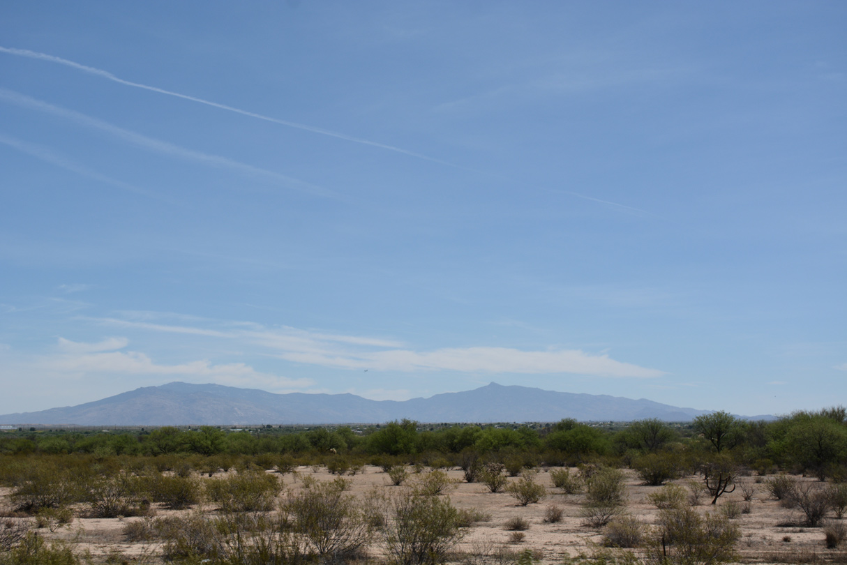
The Rincon Mountains rise far to the east of Interstate 19 near Summit.
04/26/17
04/26/17
Interstate 19 north enters the San Xavier Indian Reservation near Kilometerpost 93.
04/26/17
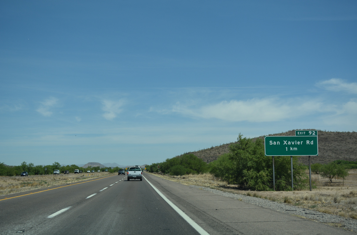
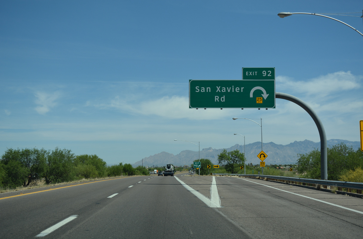
Interstate 19 meets San Xavier Road at a parclo interchange (Exit 92) adjacent to Martinez Hill.
04/26/17
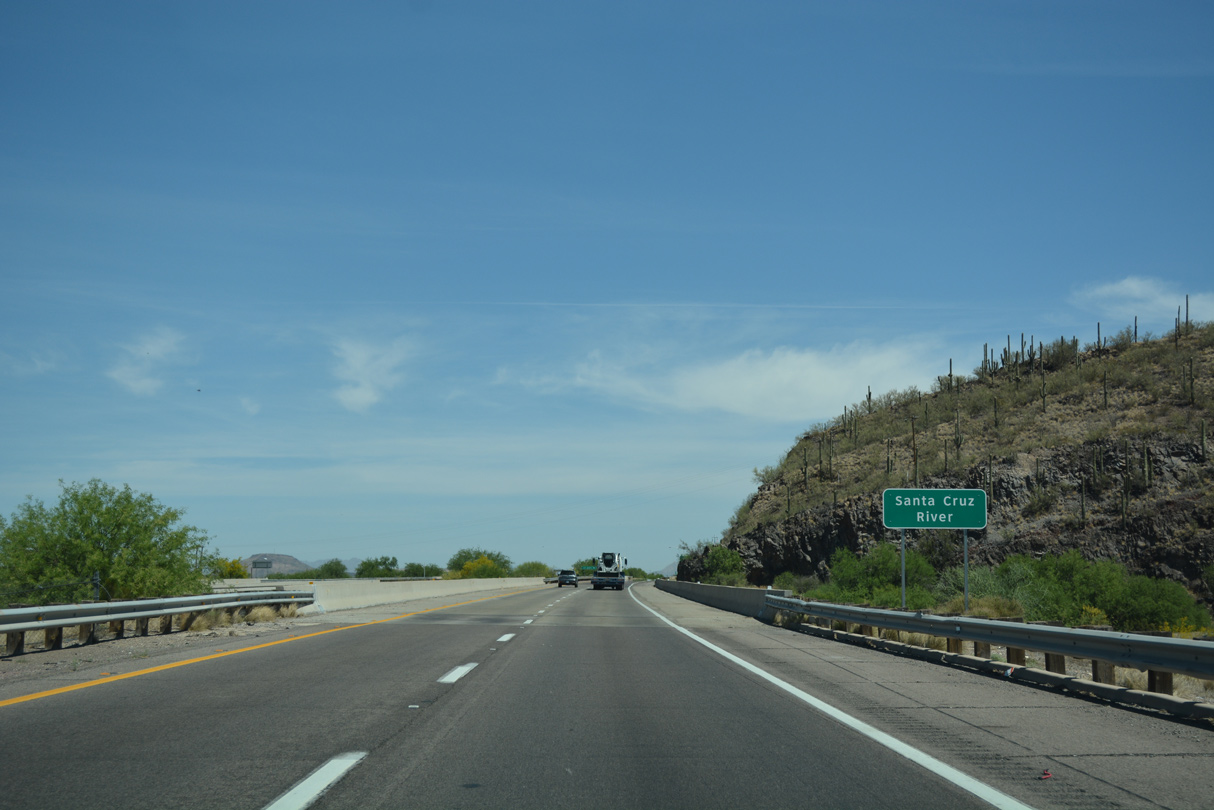
Interstate 19 crosses the Santa Cruz River just ahead of Exit 92. The river continues northwest towards Casa Grande, paralleling Interstate 10.
04/26/17
San Xavier Road angles 1.57 miles northeast to Los Reales Road at S 6th Avenue in Tucson.
04/26/17
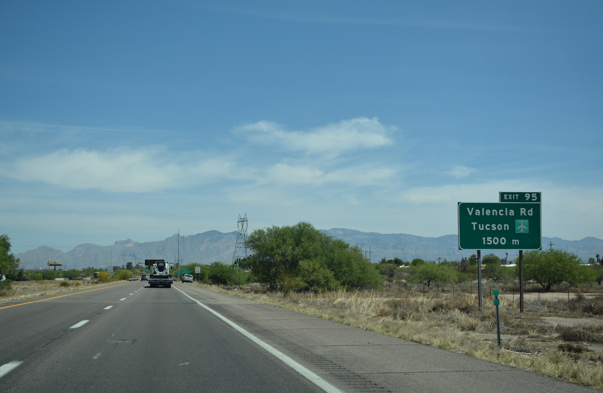
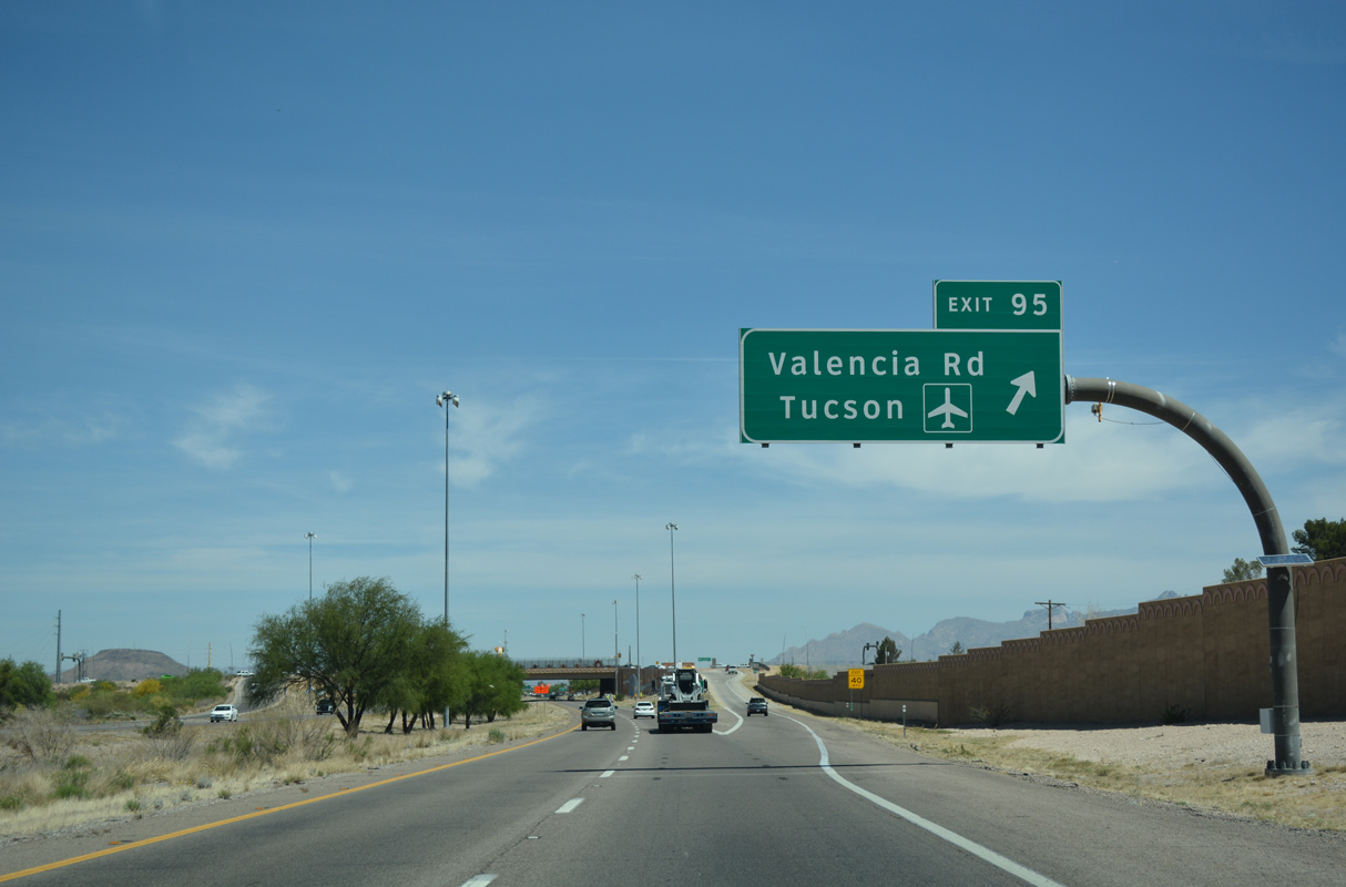
Valencia Road runs east from Exit 95 along the north side of Tucson International Airport (TUS) to Interstate 10 at Exit 267 and Tucson-Benson Highway.
04/26/17

Interstate 19 leaves the San Xavier Indian Reservation ahead of the SPUI (Exit 95) with Valencia Road.
04/26/17
Valencia Road continues west from Exit 95 toward Pascua Yaqui Pueblo. The Pascua Yaqui tribe emigrated north from Mexico to this Pueblo as well as the town of Guadalupe, in the Phoenix metro area.
04/26/17
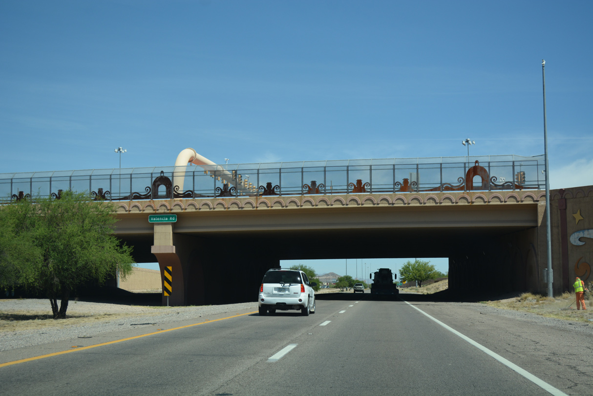
The Valencia Road overpass was rebuilt in 2004 and replaced with this elaborate structure. Exit 95 originally was a parclo interchange.
04/26/17
04/26/17
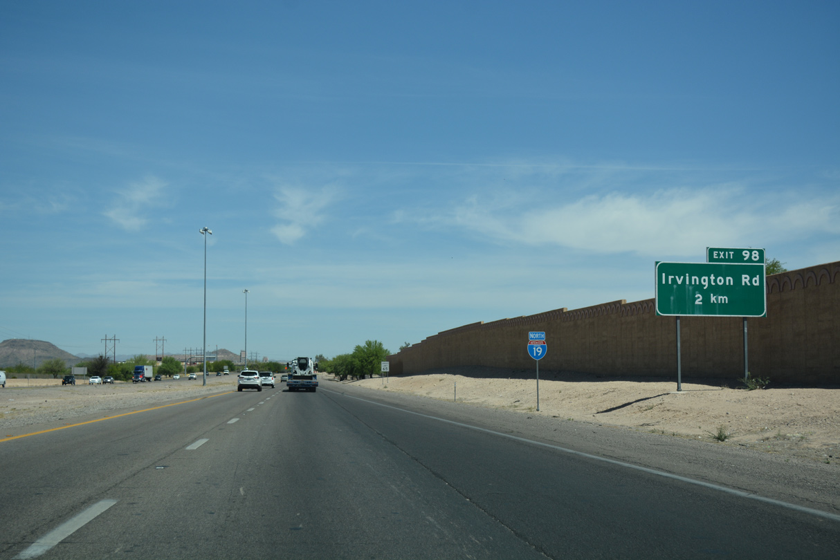
Irvington Road leads west from Santa Cruz Valley to meet SR 86 (Ajo Highway) via Sunset Boulevard, North of Tucson Mountain Park.
04/26/17
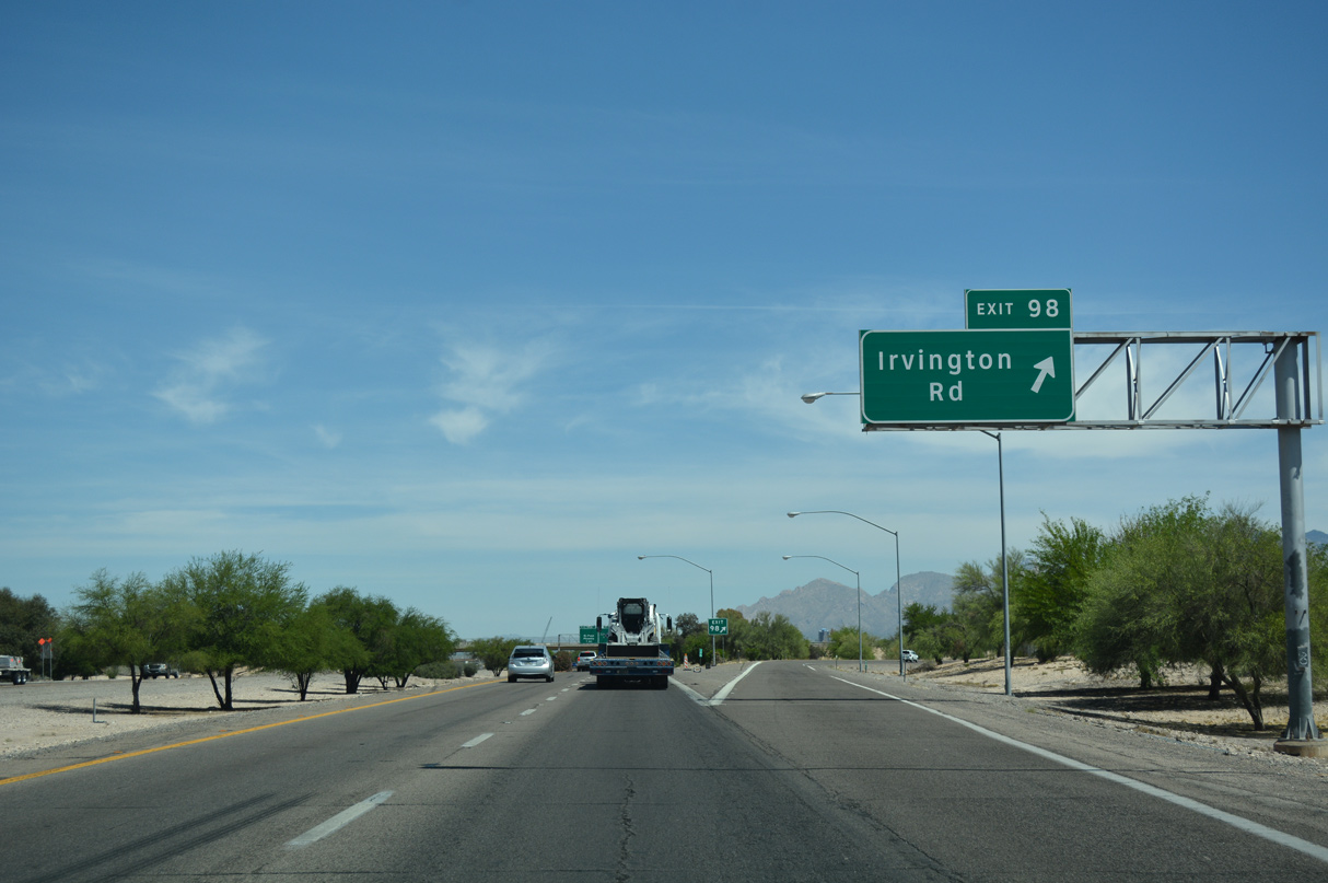
Irvington Road continues east from Exit 98 to Interstate 10 at Exit 264 near Davis-Monthan Air Force Base.
04/26/17
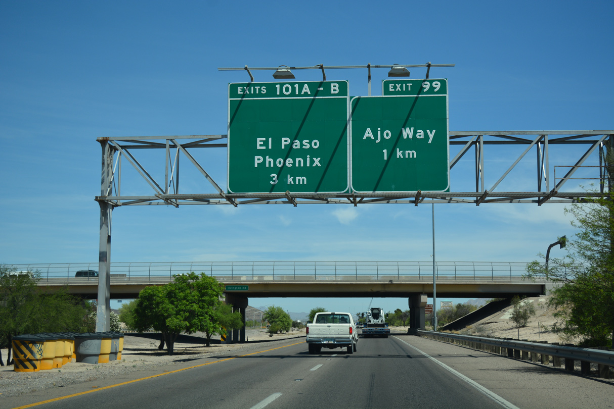
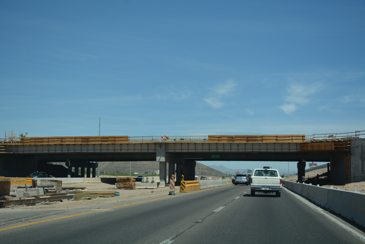
With a long missing shield, the first sign for Interstate 10 / Exit 101 precedes the Irvington Road overpass.
04/26/17
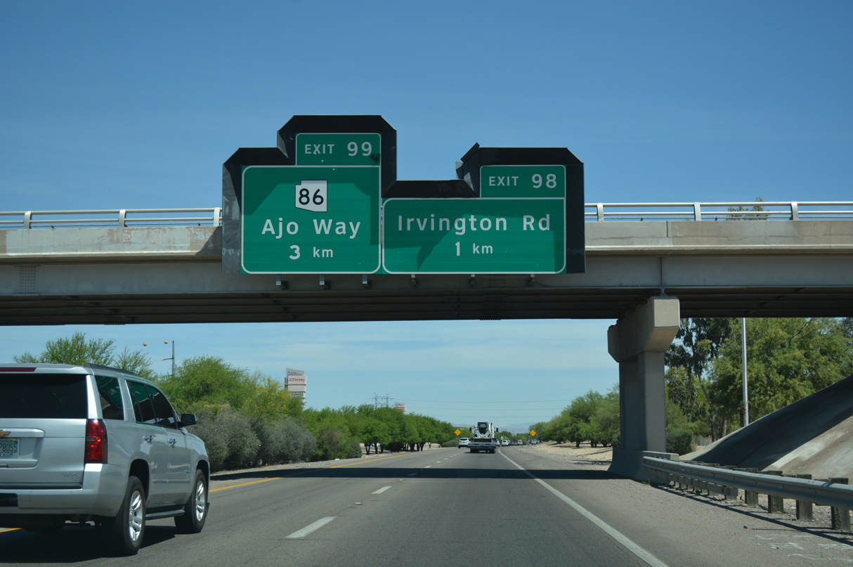
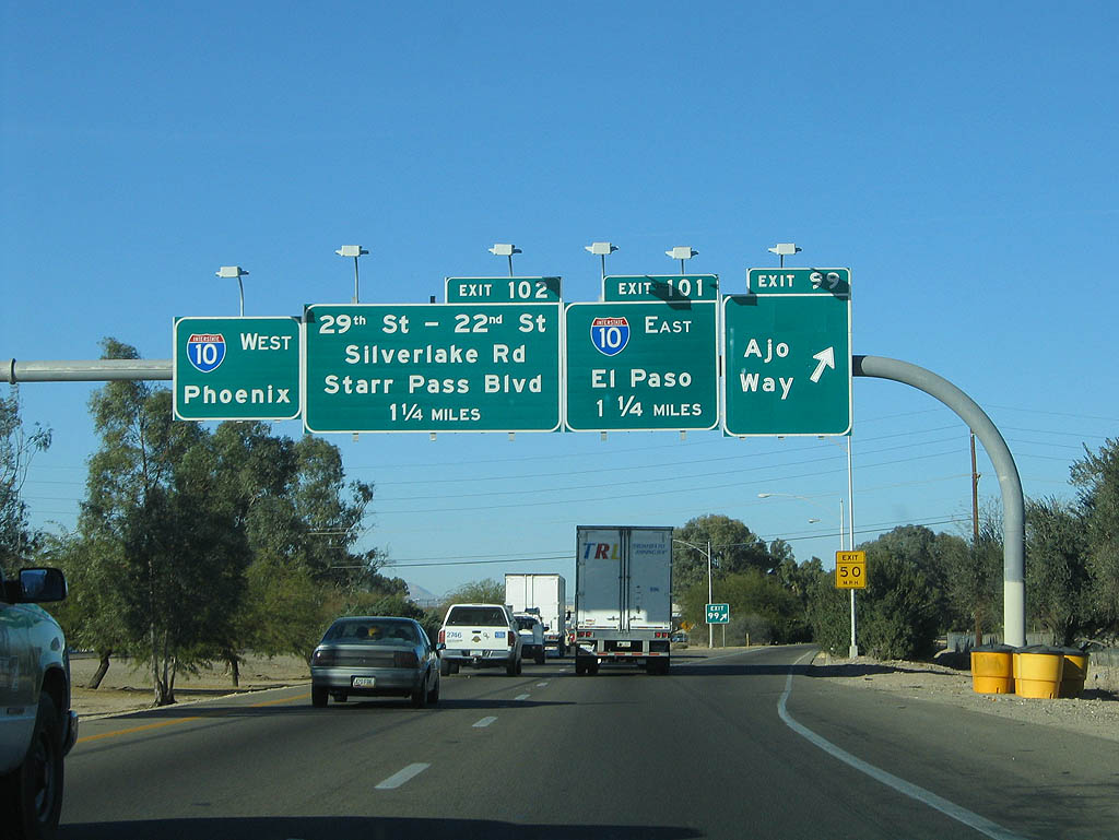
Road work underway in 2017 converted the six-ramp parclo interchange (Exit 99) with Ajo Way into a SPUI. Ajo Way is part of SR 86 west from parallel S 12th Avenue.
04/26/17
A 118.35 mile long highway, SR 86 travels west from Tucson to the Tohono O'odham Nation and SR 85 at Why.
01/13/06
Locally, Kinney Road northwest from Ajo Way leads to the Old Tucson Movie Studios and the Arizona-Sonora Desert Museum.
04/26/17
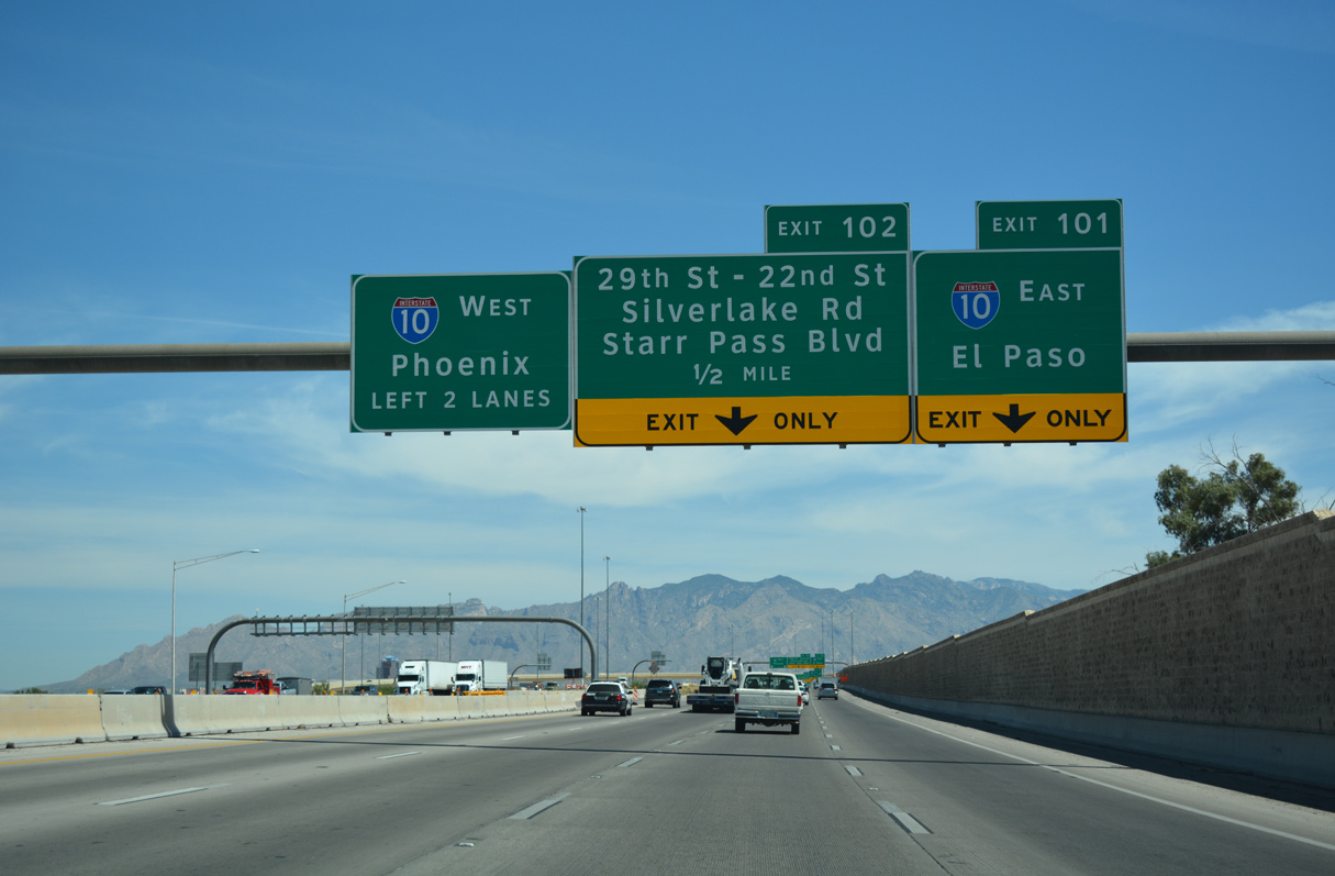
Traffic partitions at the north end of I-19 with two lanes defaulting onto I-10 west toward Downtown Tucson and single lane ramps for I-10 east and Freeway Road at 29th Street.
04/26/17
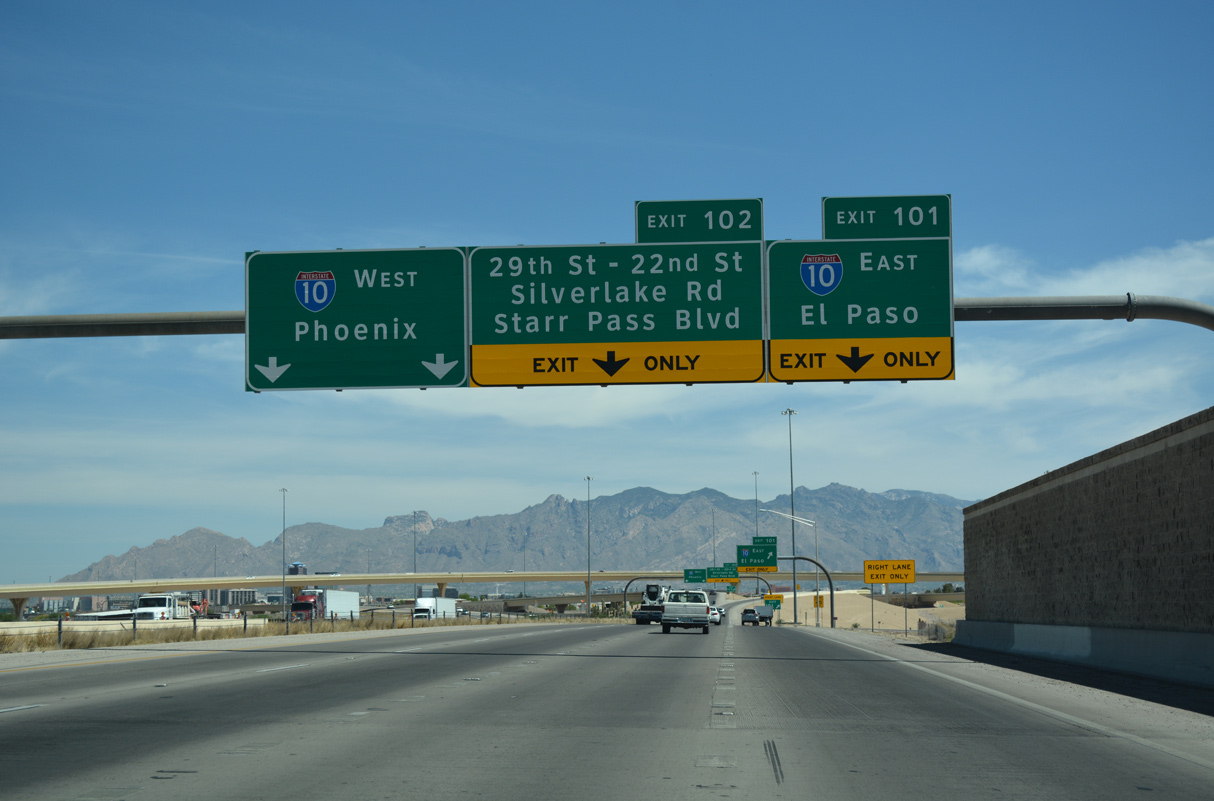
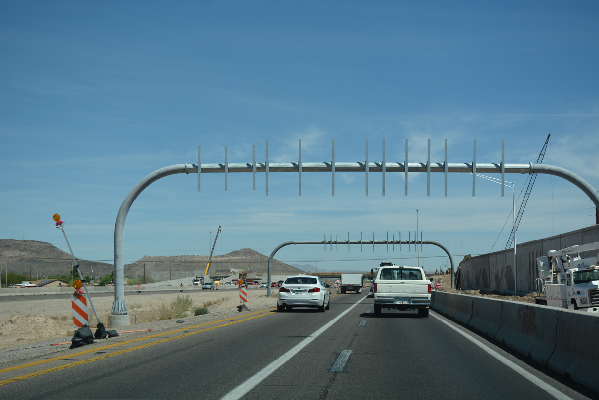
Completed in 2004, the Crossing project at I-10/19 replaced the trumpet interchange at Exit 101 and added a flyover (Exit 102) to the adjacent off-ramp from I-10 west to 29th Street by the city of South Tucson.
04/26/17
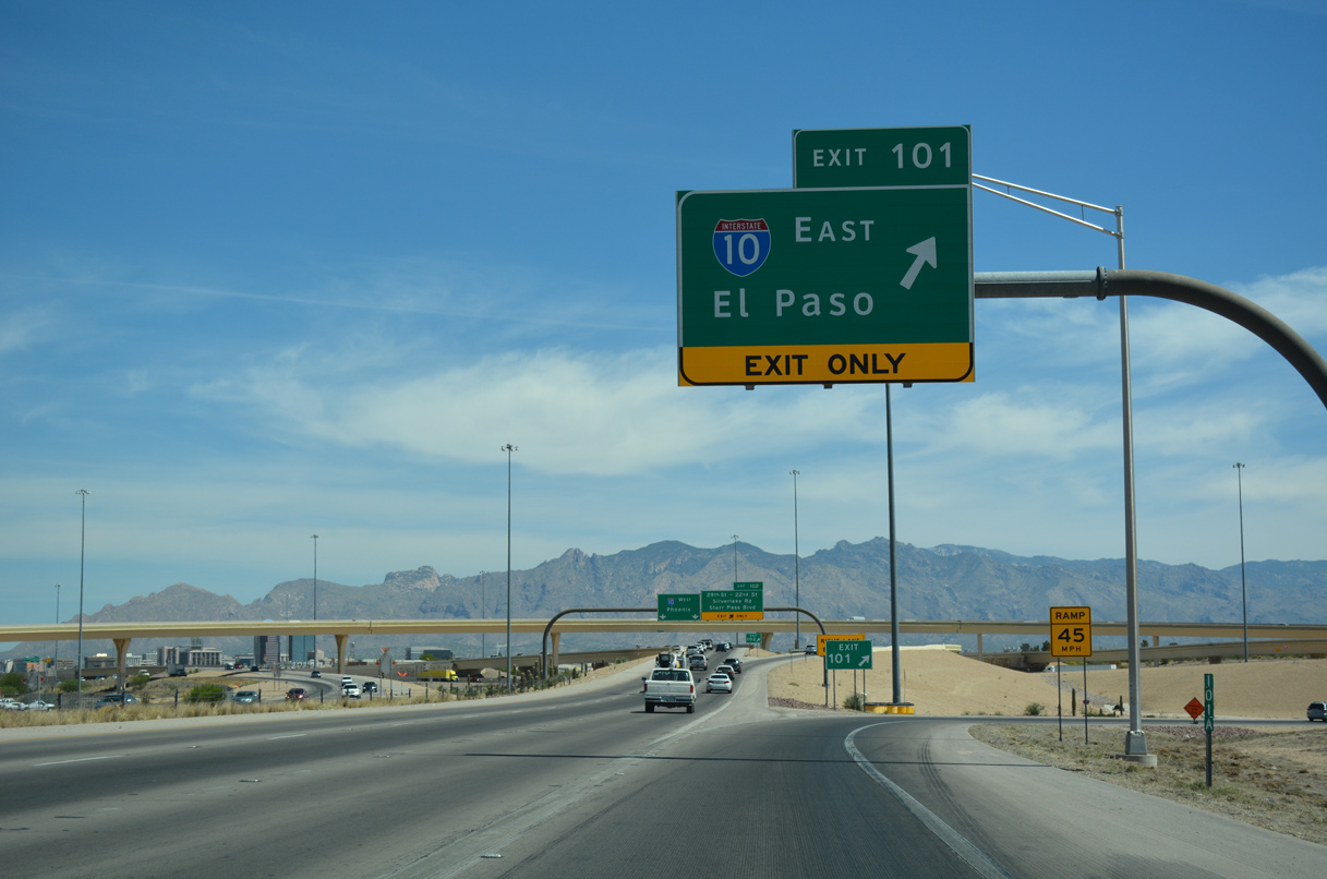
Interstate 10 travels southeast from Exit 101 in Tucson to Benson and then north around the Dos Cabezas Mountains to Bowie in San Simon Valley.
04/26/17
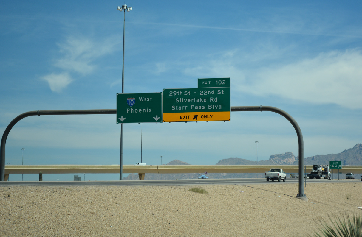
Interstate 10 continues northwest from Tucson to Marana, Eloy and Casa Grande. Exit 102 connects with the east frontage road to 29th Street east / Silverlake Road west and 22nd Street east / Starr Pass Road west.
04/26/17
Photo Credits:
01/13/06, 04/26/17 by AARoads
Connect with:
Interstate 10
State Route 86
Page Updated 04-18-2022.