|
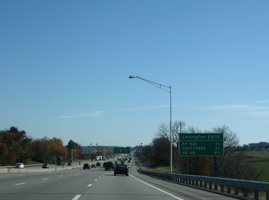
| Five exits along Interstate 75 south serve the city of Lexington. Two of the next three lie along the 6.3 mile overlap with Interstate 64 east. 11/08/09 |
|
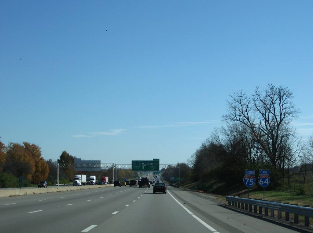
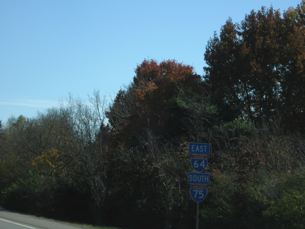
| The first set of confirming markers for I-64/75 east appears near Greendale. 11/08/09 |
|
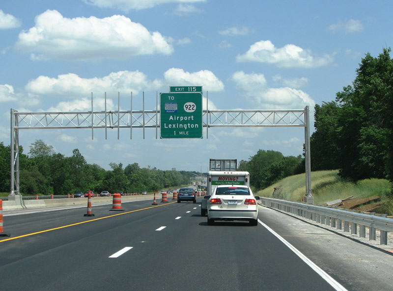
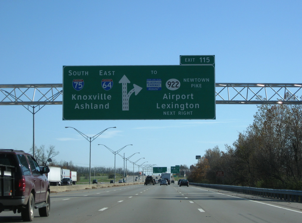
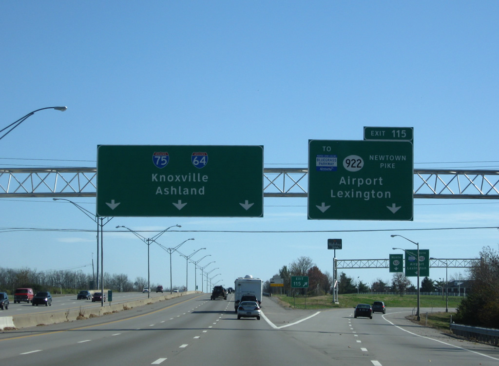
| KY 922 (Newtown Pike), a 20.18 mile route from central Lexington north to New Zion and KY 620 in Scott County, meets I-64/75 at the first of two interchanges along their overlap (Exit 115). 06/05/08, 11/08/09 |
|
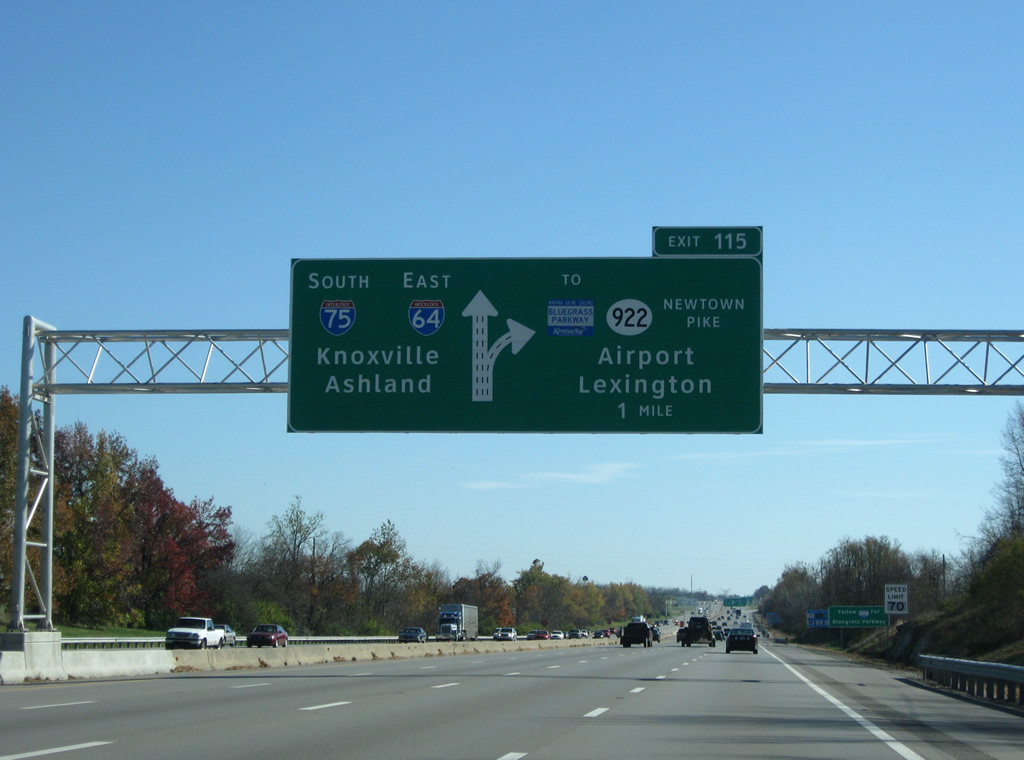
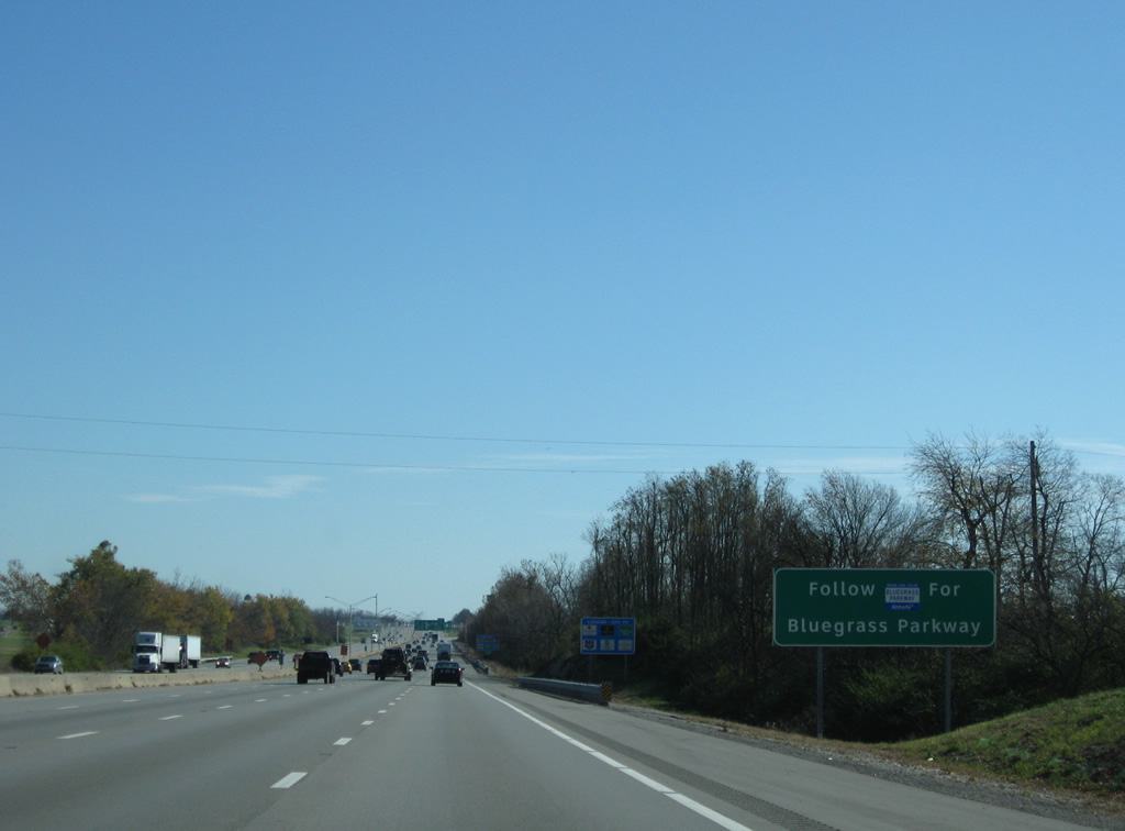
| Trailblazers for the Bluegrass Parkway direct motorists southward on KY 922 (Newtown Pike) to KY 4 (New Circle Road) and U.S. 60 (Versailles Road) west to the freeway beginning near Gaybourn in Woodford County. 11/08/09 |
|
| KY 922 runs south 1.8 miles to New Circle Road, Lexington's partial freeway loop. The Bluegrass Parkway forms an important limited access route west to I-65 and Elizabethtown. 06/05/08, 11/08/09 |
|
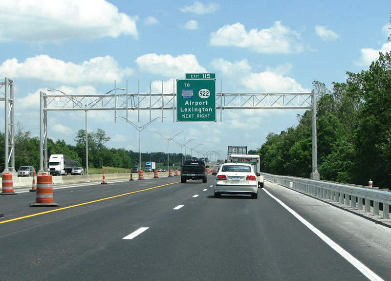
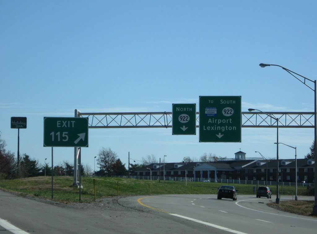
| A parclo interchange joins I-64/75 with KY 922 (Newtown Pike) at Exit 115. Newtown Pike leads south to become U.S. 25 ahead of U.S. 421 (Main Street) and downtown Lexington. Interests to Blue Grass Airport (LEX) should follow KY 4 west to U.S. 60, a short distance west of New Circle Road. 06/05/08, 11/08/09 |
|
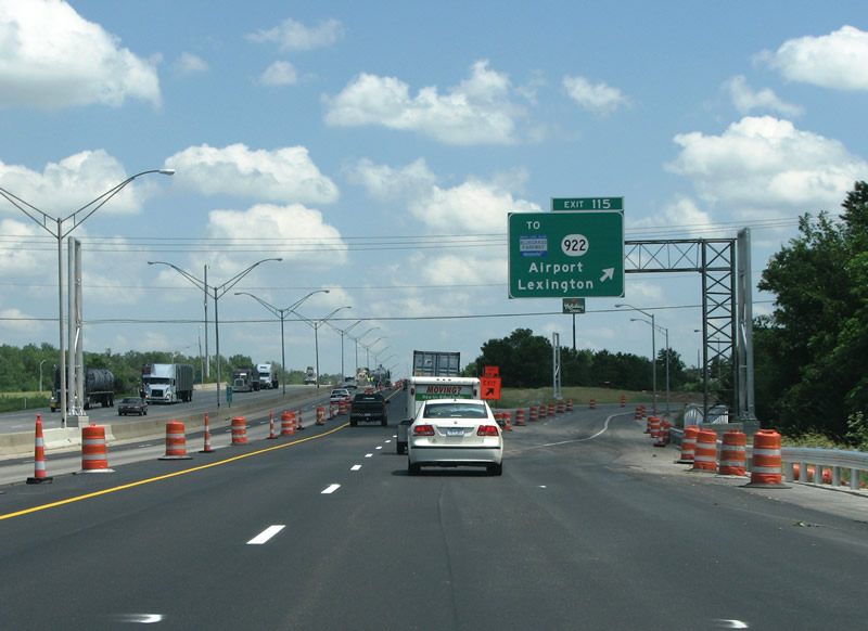
| All traffic to KY 922 departs in unison at Exit 115. KY 922 quickly becomes rural on the northward drive to New Zion at the Scott County line. 11/08/09 |
|
| New shields added in 2009 include a state-name Interstate 75 shield where the previously assembly omitted I-75. I-64/75 was completed through Lexington on November 25, 1963 when the road opened from US 62 at Georgetown to Ironworks Pike on the north side of Lexington. 11/08/09 |
|
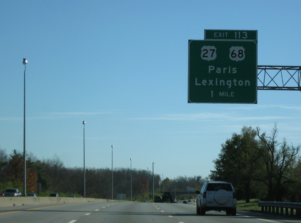
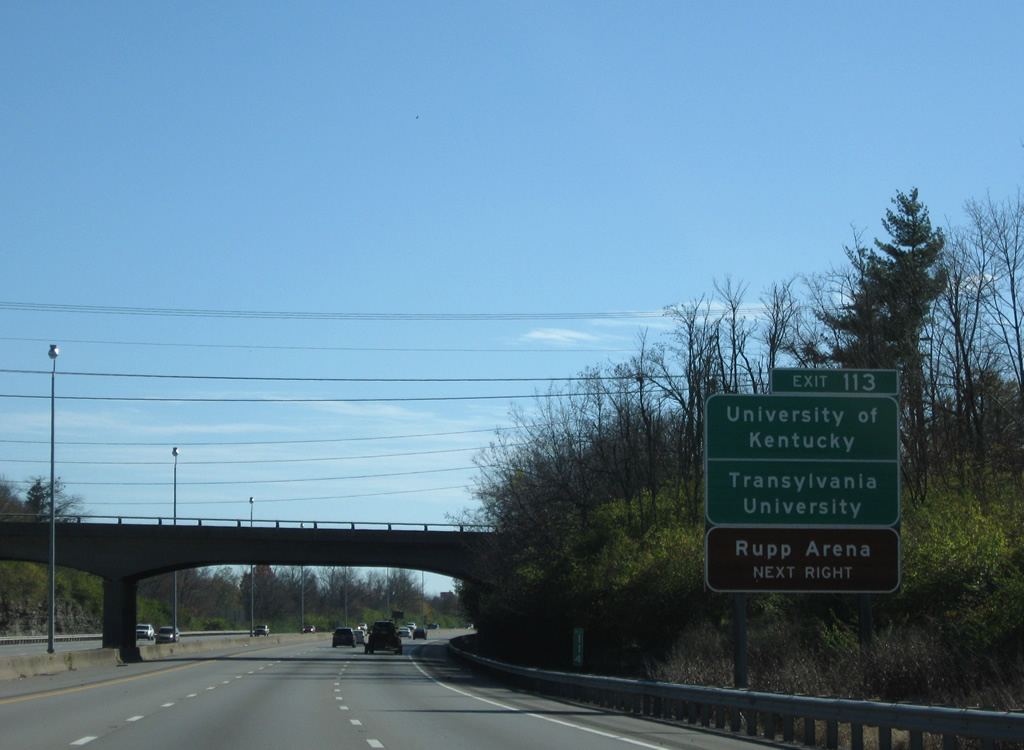
| One mile northwest of the Exit 113 off-ramp to U.S. 27/68 (Broadway). I-64/75 was widened to six lanes in 2001-2002, as part of the widening of I-75 to six lanes throughout the entire state. The freeway was repaved in 2008. 11/08/09 |
|
| The University of Kentucky put Lexington on the map, it was founded in 1865. 11/08/09 |
|
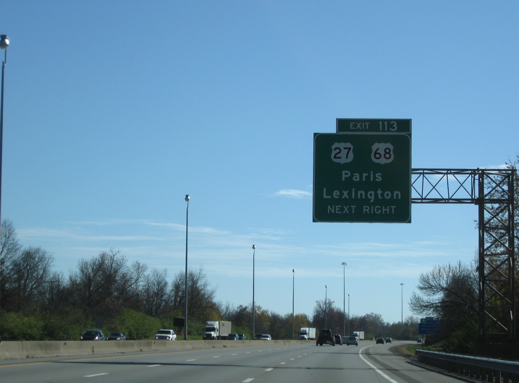
| US 27 largely follows I-75 from Florida to Michigan, and Lexington is no exception. US 68 is a relatively short US highway that runs from US 62 in Western Kentucky to I-75 in Findlay, Ohio. 11/08/09 |
|
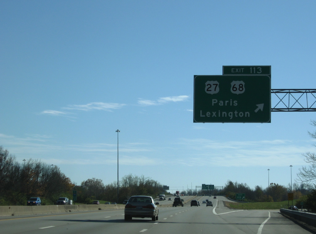
| The folded diamond interchange between I-64/75 (Exit 113) and U.S. 27/68 (Broadway) resides amid a series of residential neighborhoods lining the east-west arterial. U.S. 27/68 combine in downtown Lexington and lead northeast to the Bourbon County seat of Paris. 11/08/09 |
|
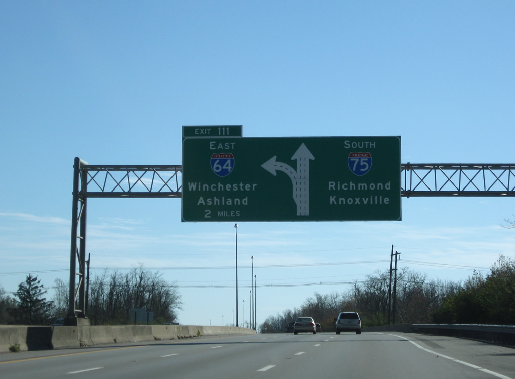
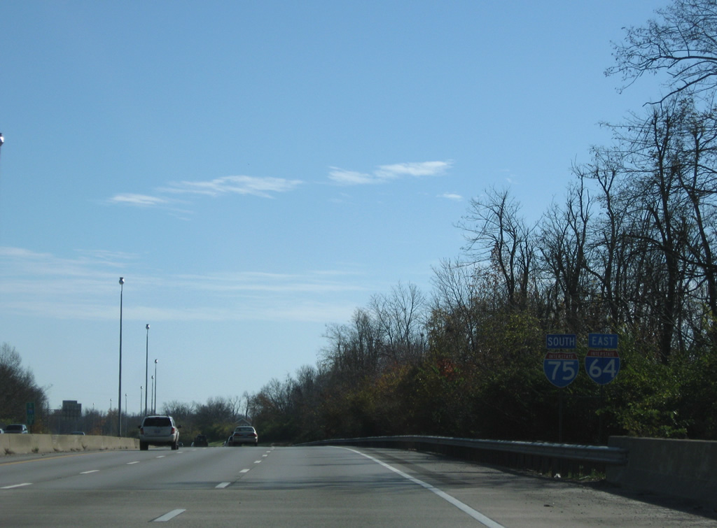
| Two miles northwest of Exit 111 where I-64 branches east from Interstate 75 south. Large diagrammatic signs advise motorists of the forthcoming three-wye interchange. 11/08/09 |
|
| The last set of shields posted for I-64/75 south appear at the Broadway underpass. I-64 next overlaps with I-77 in Charleston, West Virginia. I-75 next joins I-640 and I-40 at Knoxville, Tennessee. 11/08/09 |
|
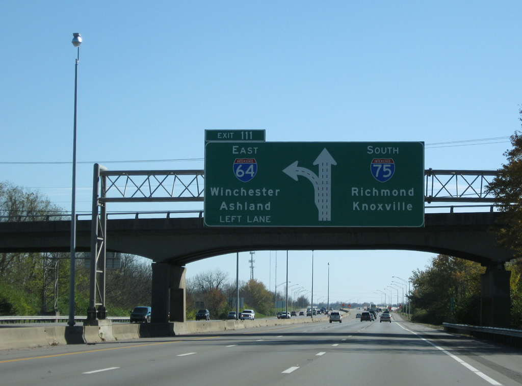
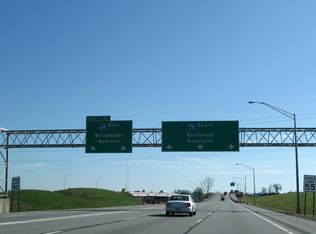
| Interstate 64 departs from the left side of Interstate 75 south for Winchester, Ashland, and Huntington, West Virginia. KY 57 (Bryan Station Road) passes over the freeway at the second diagrammatic overhead. 11/08/09 |
|
| Exit 111 dives below I-75 north at the stack. Interstate 75 continues with six overall lanes to Richmond and Berea as Interstate 64 returns to rural environs on the 15 mile drive to Winchester. 11/08/09 |
|
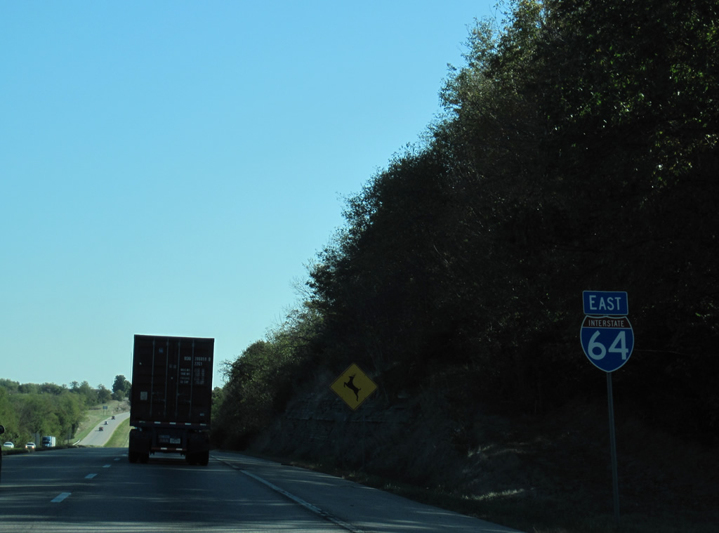
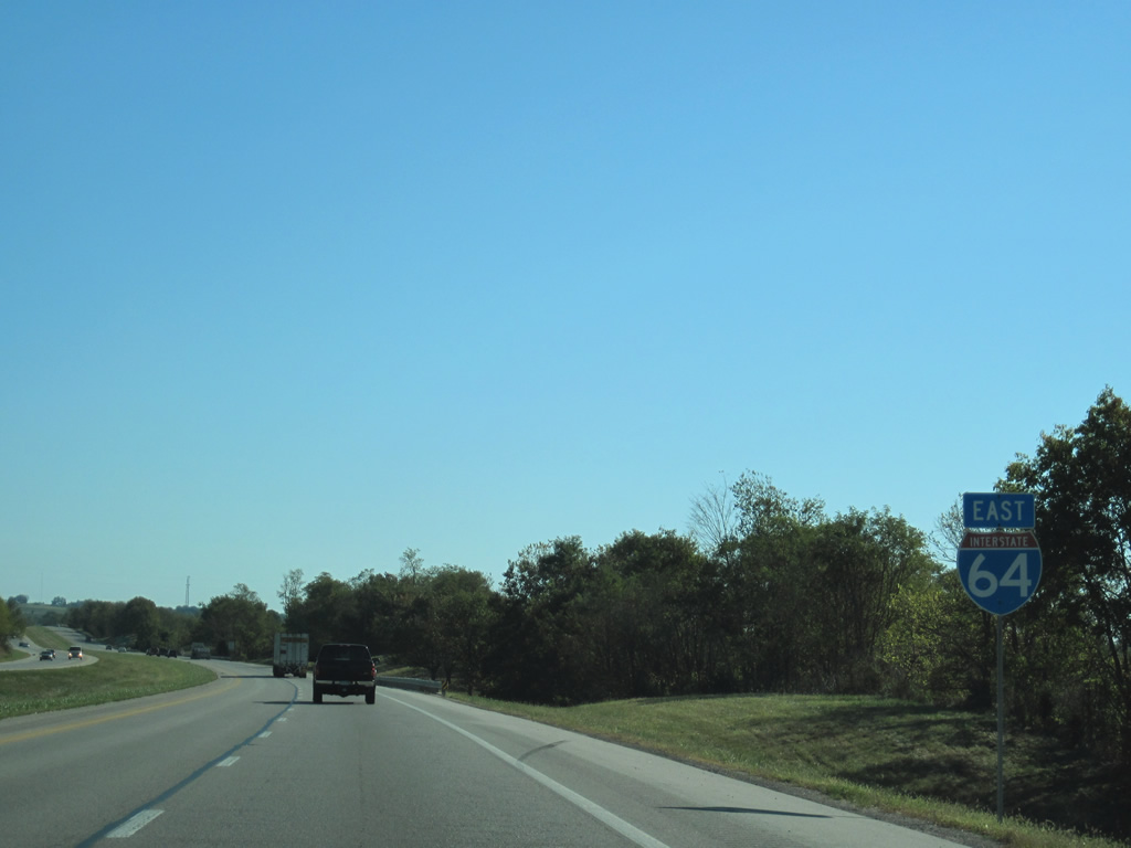
| Leaving Mount Sterling, Interstate 64 lowers from a rock cut to cross Hinkston Creek beyond this eastbound reassurance marker. 10/02/10 |
|
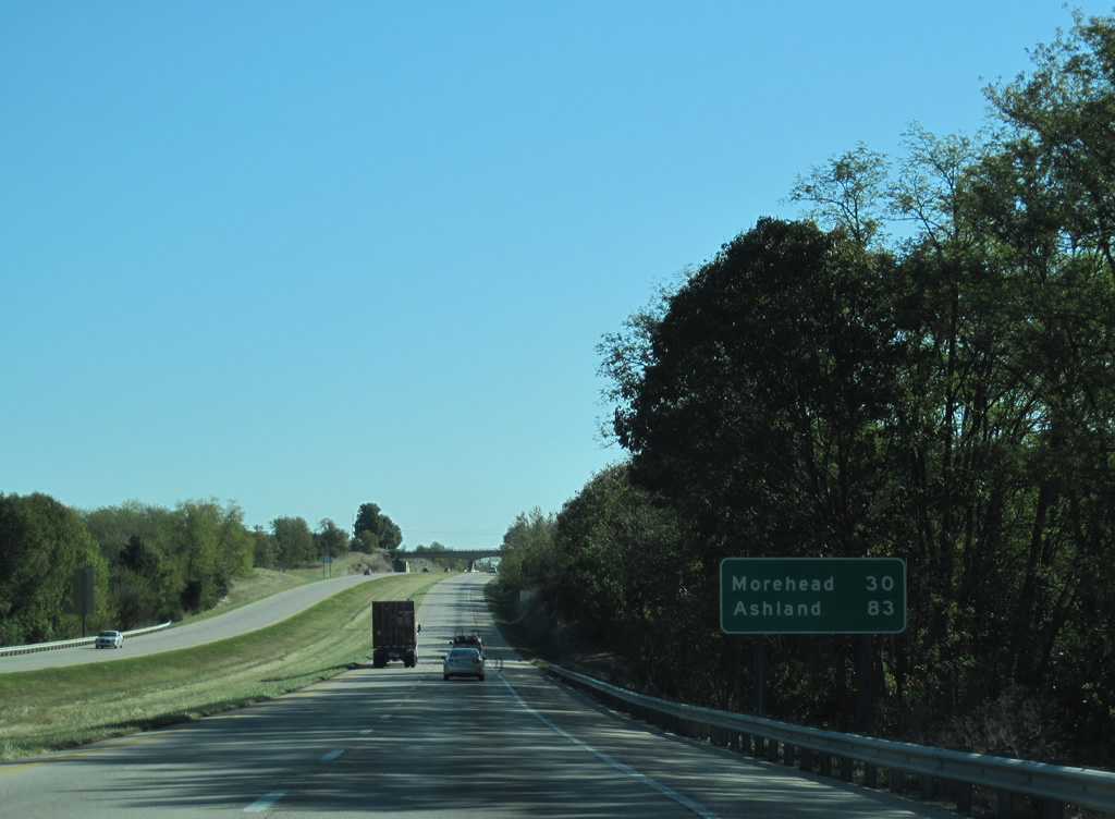
| Morehead, the Rowan County seat, is 30 miles to the east. Ashland is the final control city in Kentucky. Ashland is not actually along Interstate 64 however as one must take U.S. 60 or U.S. 23 to reach the Ohio River city. 10/02/10 |
|
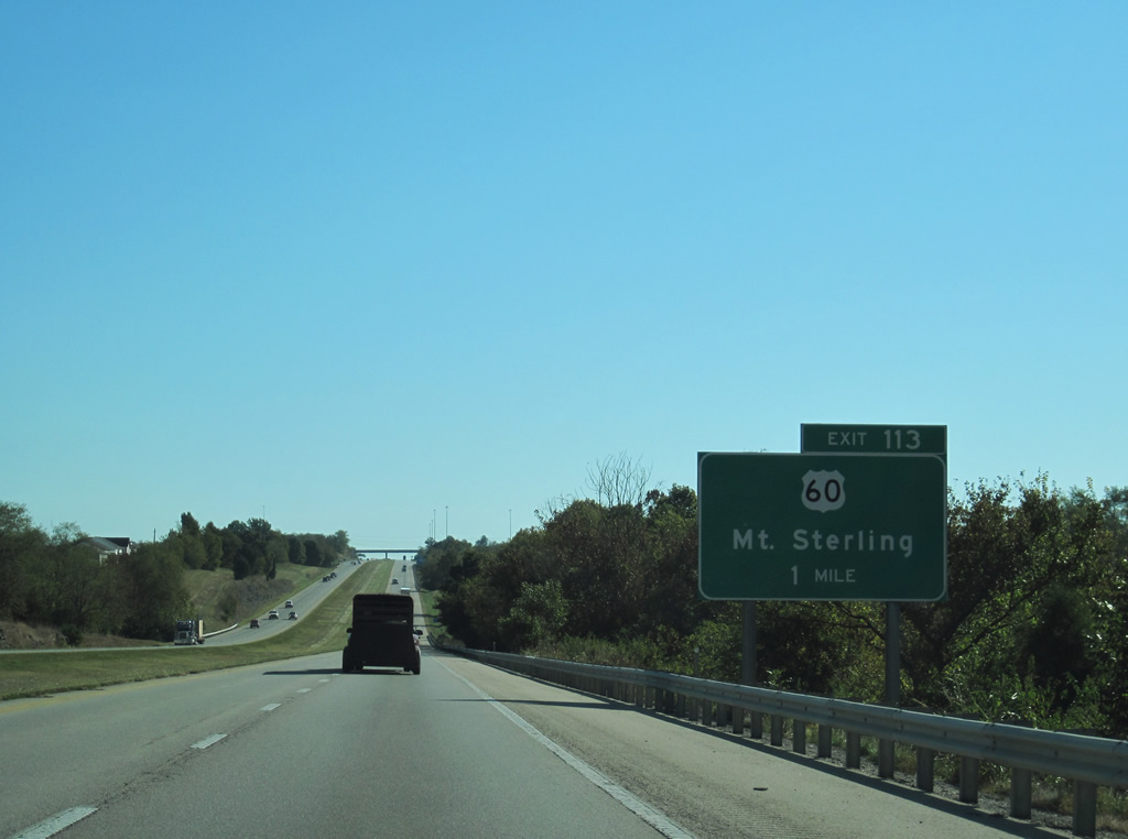
| U.S. 60 (Owingsville Road) exits Mount Sterling and crosses paths with Interstate 64 again at the Exit 113 diamond interchange in one mile. 10/02/10 |
|
| Turning north at Ewington (junction KY 1331), U.S. 60 arcs eastward from Exit 113 and an adjacent industrial park to Owingsville. Downtown Mount Sterling is a 3.5 mile drive to the west. 10/02/10 |
|
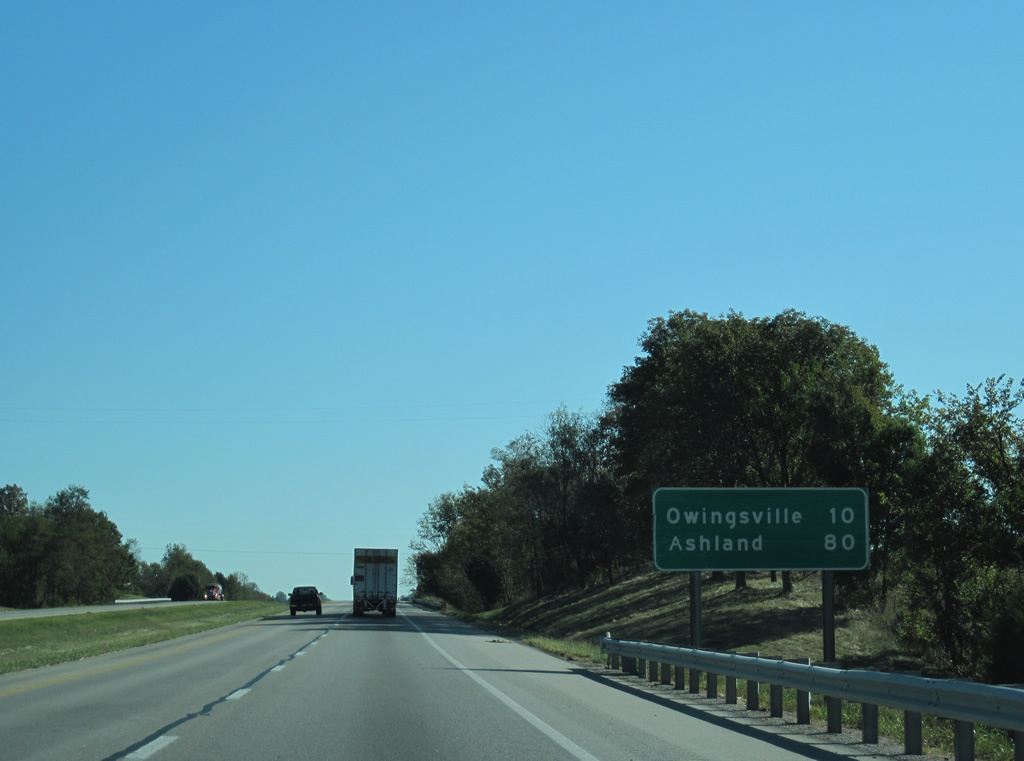
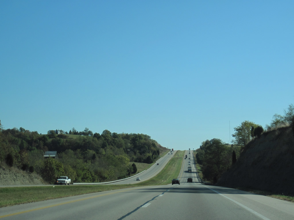
| Continuing east through agricultural lands, Interstate 64 next reaches Owingsville in ten miles. Ashland is 80 miles from this point. 10/02/10 |
|
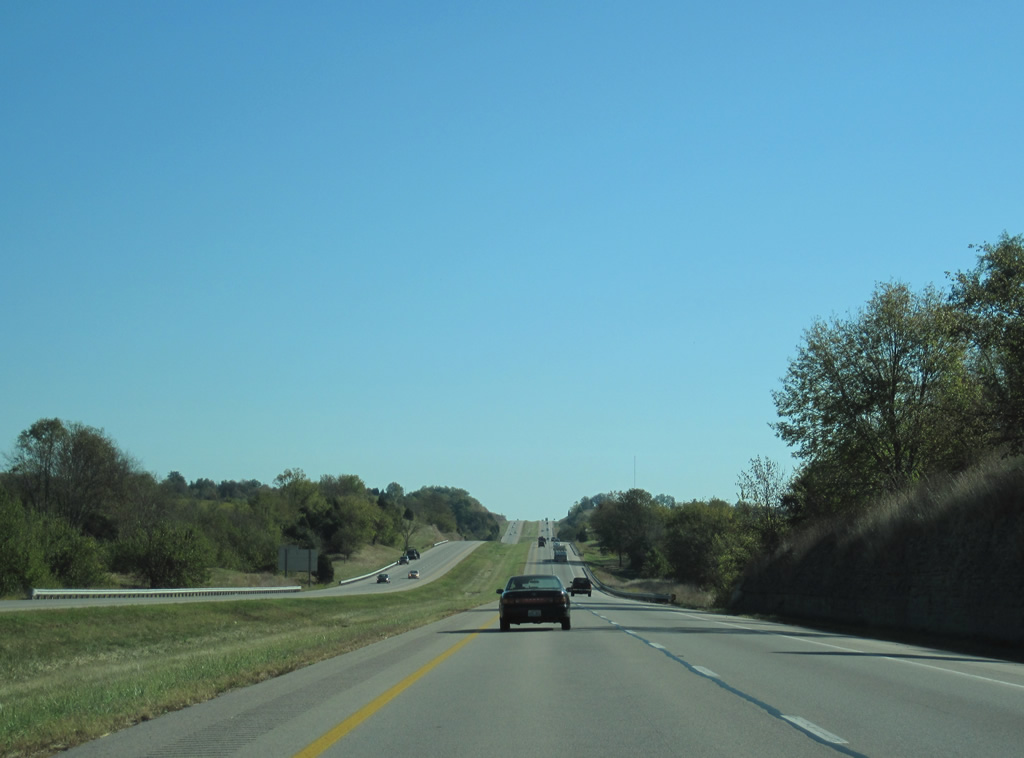
| Traveling across the rolling hills of eastern Montgomery County to Salt Well Branch of Stepstone Creek. 10/02/10 |
|
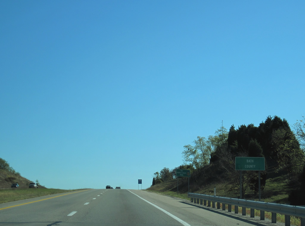
| The 11.39 mile course across Montgomery County concludes as Interstate 64 enters Bath County. Similarly narrow, I-64 remains in the adjacent county for just 13.31 miles. 10/02/10 |
Page Updated 03-11-2012.


 East
East  South
South