|
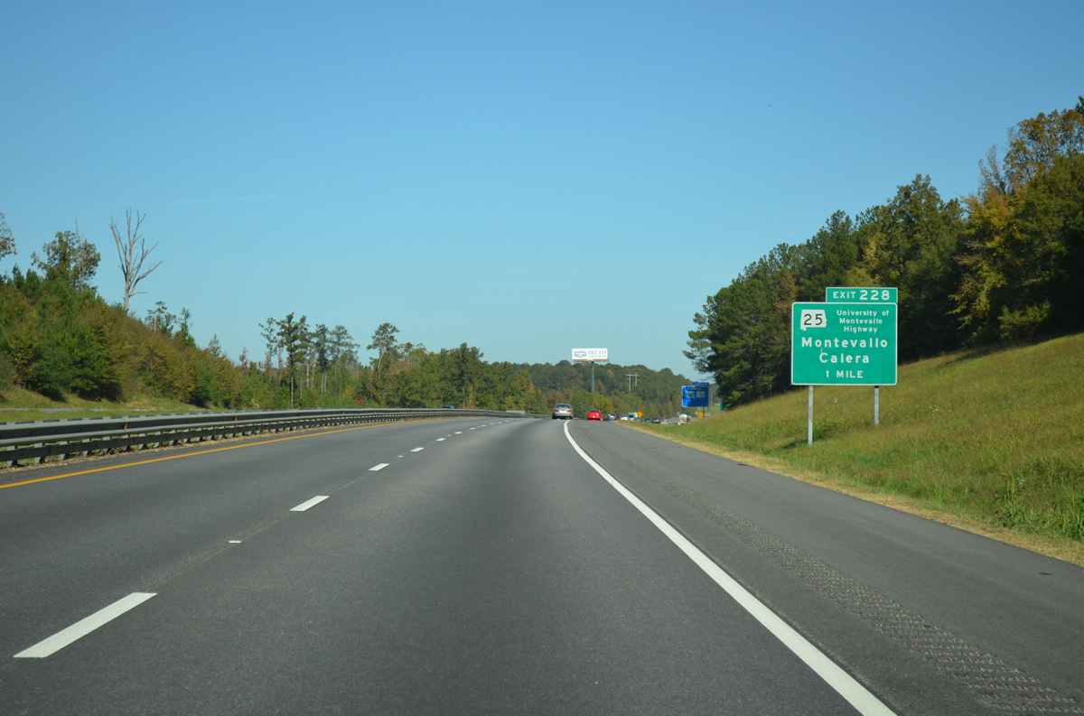
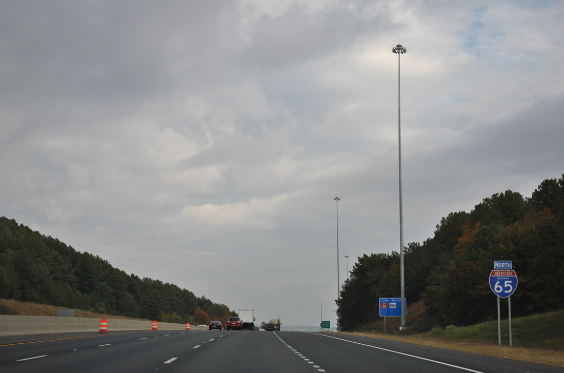
| Interstate 65 enters Shelby County and reaches the first of seven countywide interchanges at Exit 228 (SR 25). The University of Montevallo Highway connects the freeway with nearby Calera at U.S. 31 and Montevallo at SR 119. 10/20/12 |
|
| Interstate 65 spans Buxahatchee Creek and a parallel railroad line a half mile from the diamond interchange (Exit 228) with SR 25. SR 25 travels ten miles northeast to the county seat of Columbiana. 10/20/12 |
|
| Exit 228 leaves Interstate 65 north for SR 25 (University of Montevallo Highway). SR 25 is a lengthy highway at 265 miles from Sunny South in Alabama's Black Belt to the Georgia state line as the counterpart of U.S. 411 near Forney. 10/20/12 |
|
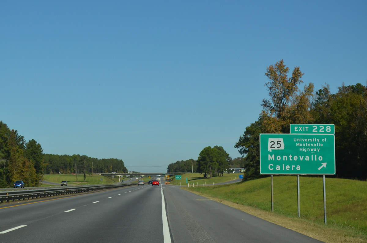
| A new assembly was added by 2012 at the SR 25 overpass for the northbound on-ramp from Calera advising motorists of slow merging traffic. 10/07/12 |
|
| Interstate 65 northbound shield posted after the on-ramp from SR 25 and Exit 228. 10/07/12 |
|
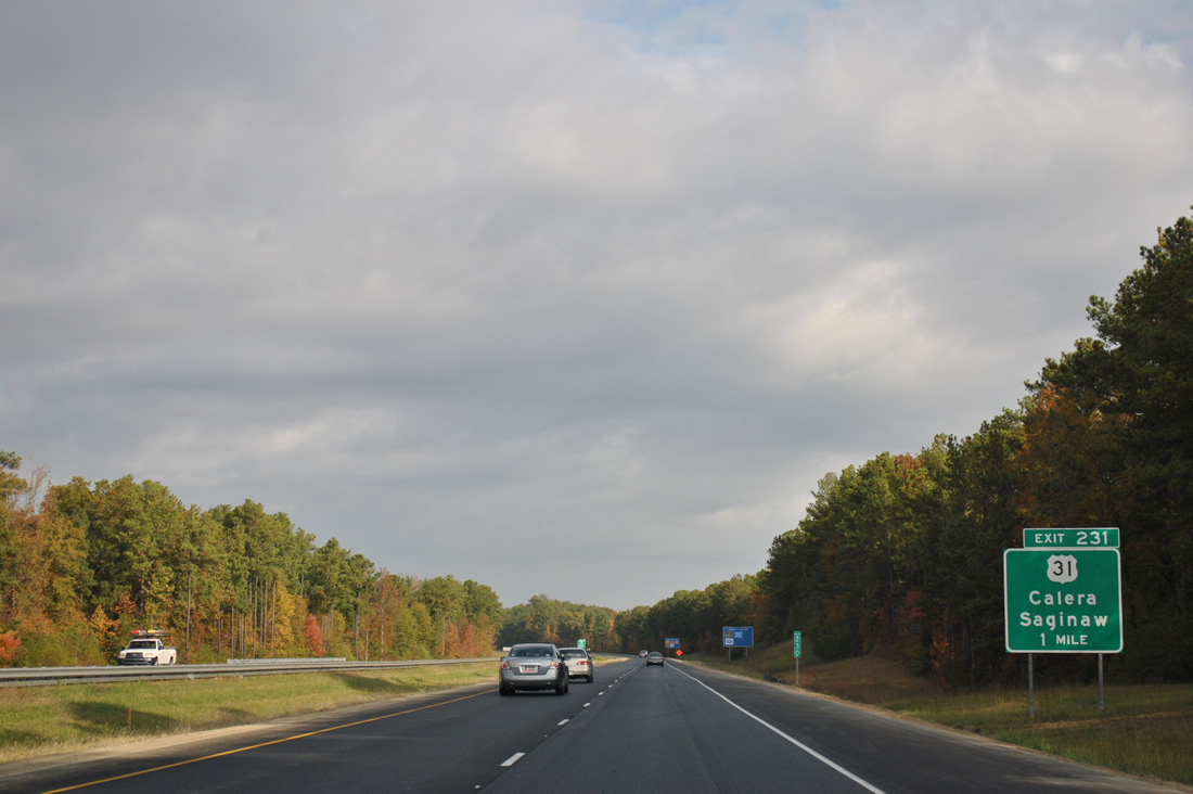
| U.S. 31 crosses Interstate 65 for a fourth time at Exit 231. The US route serves the towns of Calera, Varnons, and Saginaw within an eight mile stretch. 11/03/11 |
|
| One half mile south of Exit 238 with U.S. 31 (Montgomery Highway). U.S. 31 will return to the western side of Interstate 65 at the forthcoming diamond interchange. 11/03/11 |
|
| U.S. 31 (Montgomery Highway) continues a short distance from Exit 231 to intersect SR 70 east and CR 22 west at Dargin. SR 70 leads east eight miles to Columbiana. CR 22 extends to large tracts of suburban development west of I-65 and SR 119 at Moores Crossroads. SR 119 leads southwest to Montevallo and Brierfield Ironworks State Park. 11/04/09 |
|
| Central Alabaster follows in seven miles from Interstate 65 north ahead of the Shelby County Route 25 overpass near the community of Dargin. 11/03/11 |
|
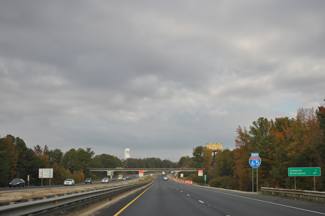
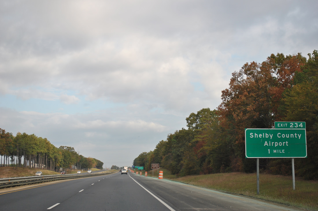
| West of Varnons, a parclo interchange (Exit 234) links I-65 with Shelby County Route 87 at Shelby County Airport (EET). 11/03/11 |
|
| CR 87 stems north from CR 12 (Smokey Road) to Exit 234. CR 87 shifts east across Interstate 65 en route to U.S. 31 (Montgomery Highway) at Longview. Shelby West Parkway lines the west side of I-65 to a large industrial park north of the airport. 11/03/11 |
|
| Exit 234 departs Interstate 65 northbound. Development and traffic increase along the Interstate 65 corridor as the freeway presses toward the Birmingham metropolitan area. 10/07/12 |
|
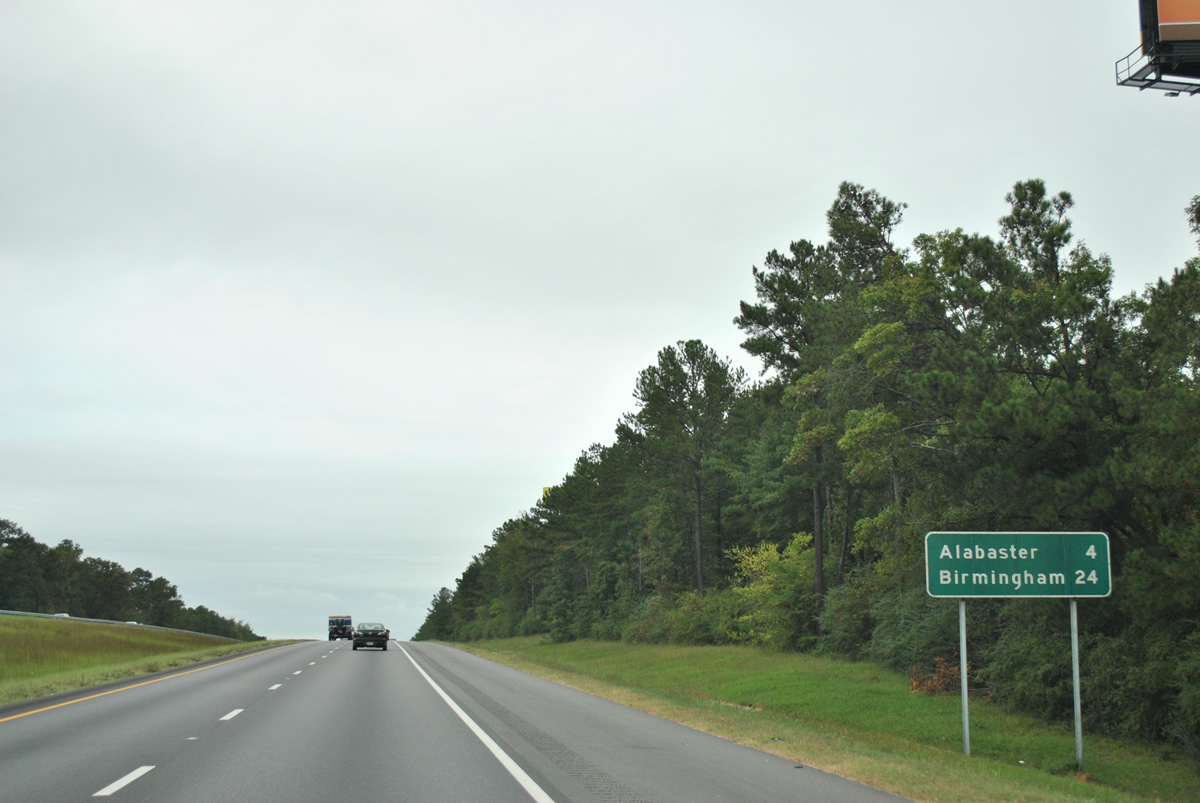
| Button copy distance sign posted after Exit 234. The next exit serves the city of Alabaster (2010 pop. 30,352) via U.S. 31. 10/07/12 |
|
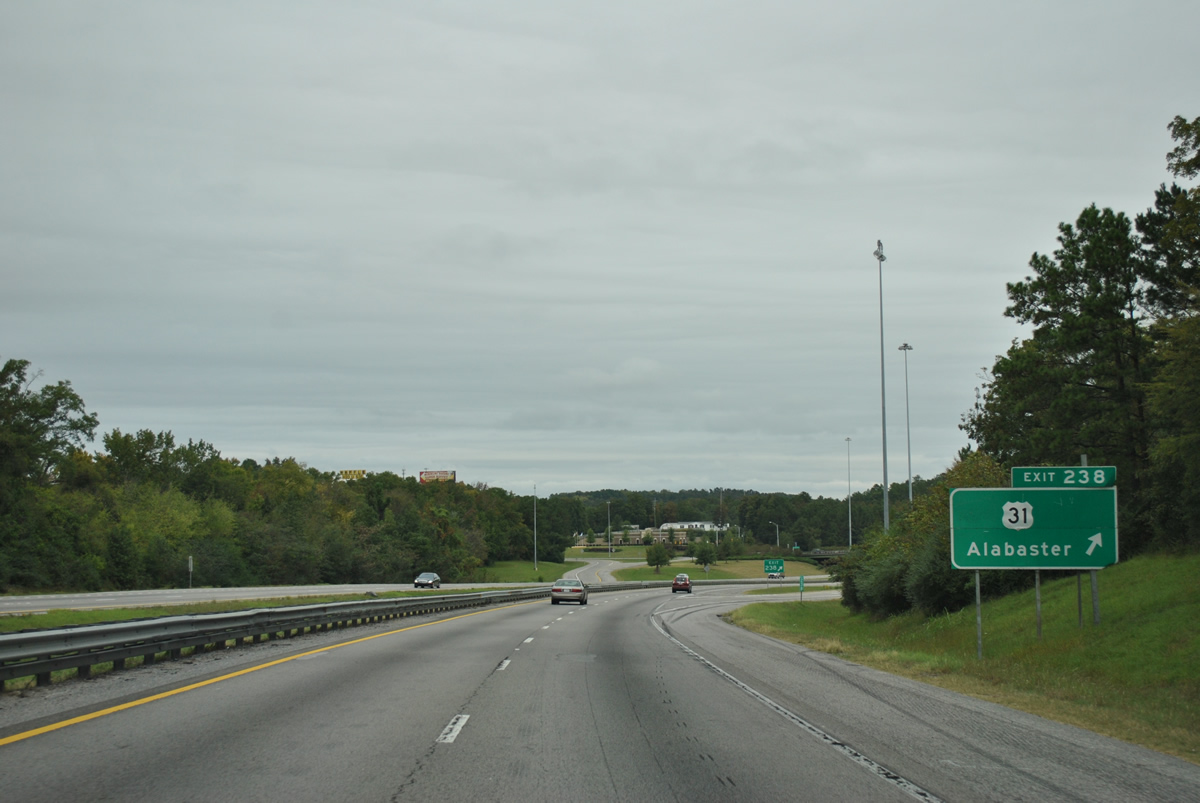
| Forthcoming Exit 238 is a diamond interchange with U.S. 31 (Montgomery Highway). U.S. 31 expands to four lanes from Saginaw north into Alabaster, Pelham and the greater Birmingham metropolitan area. 11/03/11 |
|
| U.S. 31 returns to Interstate 65 at a commercialized exchange. U.S. 31 follows 1st Street S two miles to the city center. A myriad of suburban development lies west of the parallel CSX Railroad line, adding to the commuter aspect of Exit 238. 11/03/11 |
|
| Exit 238 represents the fifth crossing of U.S. 31 and Interstate 65 in Alabama. Nearby SR 119 (Montevallo Road) overlaps U.S. 31 nearby, connecting the US route with Siluria, Elliotsville and Montevallo to the south. The two overlap through the Cahaba Valley. 10/07/12 |
|
| A reassurance marker for Interstate 65 posted just beyond the Colonial Promenade retail area adjacent to the freeway. 10/07/12 |
|
| Interstate 65 north leaves Alabaster for the city of Pelham. Roadways of the freeway briefly diverge ahead of the County Route 11 overpass. 11/03/11 |
|
| Exit 242 serves Shelby County Route 52, an arterial joining U.S. 31 (Pelham Parkway) with CR 11 (Simmsville Road). 11/03/11 |
|
| Interstate 65 travels through Fungo Valley to the diamond interchange (Exit 242) with CR 52. Widening of the freeway from Exit 238 to 242 was initially scheduled for 2012 or 2013. 11/03/11 |
|
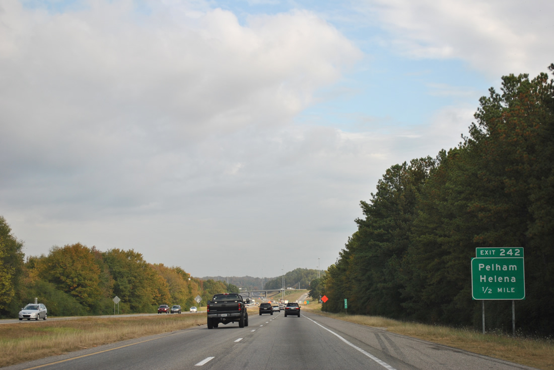
| Exit 242 departs Interstate 65 north to CR 52. Nearby CR 11 leads northeast to Simmsville and Chelsea. Westward, CR 52 continues from U.S. 31 and Pelham to Helena and SR 261. 10/07/12 |
|
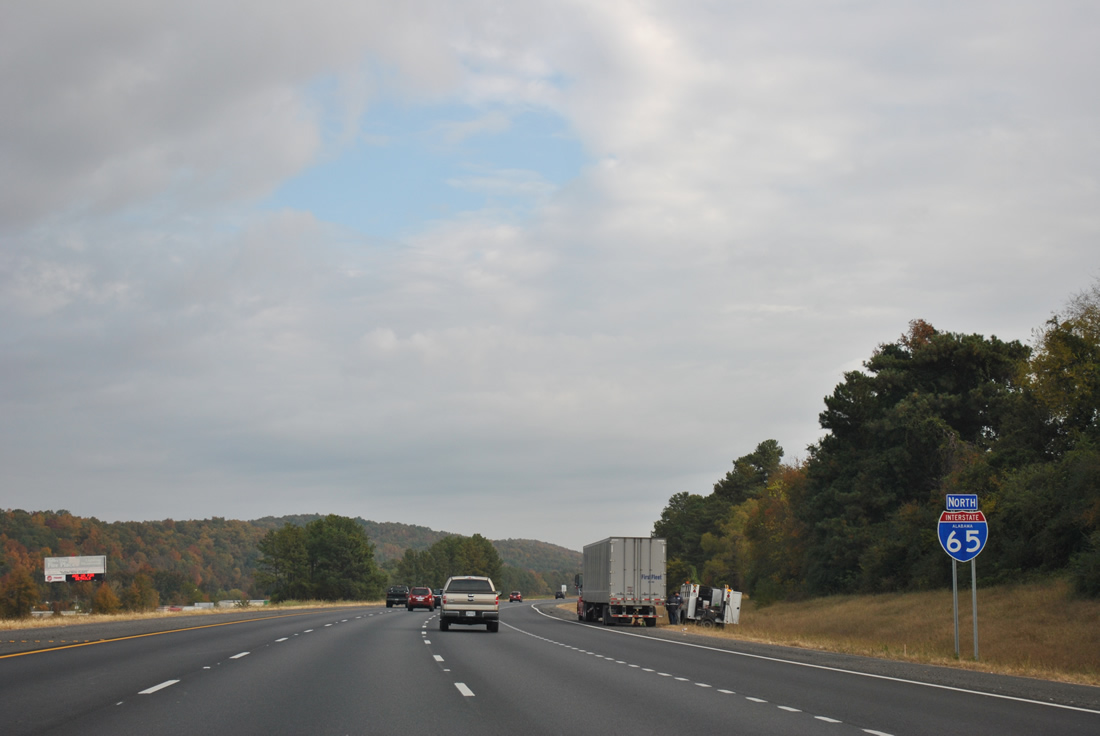
| Widening of Interstate 65 from Exit 242 northward to Exit 247 was completed by December 2011. This hilly stretch of road is heavily trafficked by commuters between Alabaster and Pelham to Birmingham. 11/03/11 |
|
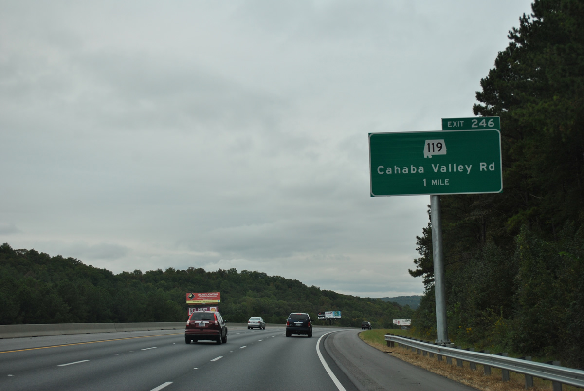
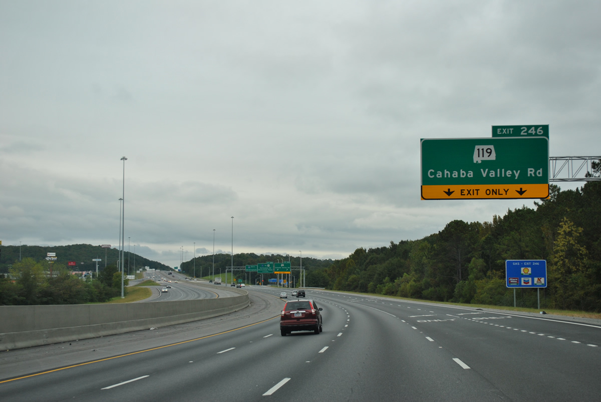
| Interstate 65 lowers from Little Oak Ridge to meet SR 119 (Cahaba Valley Road) at a diamond interchange (Exit 246). SR 119 leaves U.S. 31 (Pelham Parkway) nearby and continues 22 miles northeast to U.S. 78 and U.S. 411 in Leeds. 10/07/12 |
|
| A look at Interstate 65 before widening occurred across Little Oak Ridge. 07/15/05 |
|
| Northeast from Exit 246, SR 119 (Cahaba Valley Road) lines Cahaba Valley between New Hope Mountain and Little Oak Ridge en route to Oak Mountain State Park and U.S. 280. 10/07/12 |
|
| A new sign bridge added in 2012 at Exit 246 includes an advance sign for Exit 247 to CR 17. Both SR 119 and CR 17 lead northeast from U.S. 31 (Montgomery Highway) in Pelham to Indian Springs and eastern reaches of Hoover. 10/07/12 |
|
| Shelby County Route 17 is Valleydale Road, a suburban highway between U.S. 31 (Pelham Highway) and U.S. 280, roughly paralleling Interstate 459 to the south. 10/07/12 |
|
| Interstate 65 north crests over new Hope Mountain leading into the folded diamond interchange (Exit 247) with County Route 17 (Valleydale Road). 11/03/11 |
|
| Exit 247 loops from Interstate 65 north onto CR 17. Riverchase Parkway intersects Valleydale Road nearby as it winds northward to Riverchase and U.S. 31 by the Jefferson County line. CR 17 becomes SR 261 south at Pelham. 10/07/12 |
|
| The first of several guide signs for I-459 (Birmingham south belt line) posted along I-65 north. Forthcoming Exit 250 is a four level symmetrical stack interchange. Interstate 459 uses I-20 and 59 control cities. 10/07/12 |
|
| Spanning the Cahaba River, Interstate 65 enters Jefferson County on the 13 mile drive to downtown Birmingham. 10/07/12, 11/03/11 |
Page Updated 10-22-2012.

 North
North