|
| Interstate 74 crosses the North Fork Salt Creek ahead of Exit 149 in the city of Le Roy. 05/07/18 |
|
| Le Roy was home to 3,512 per the 2020 census with city limits extending south of I-74 to the Falcon Ridge and Golden Eagle subdivisions. A diamond interchange (Exit 149) serves the city via Chestnut Street. 05/07/18 |
|
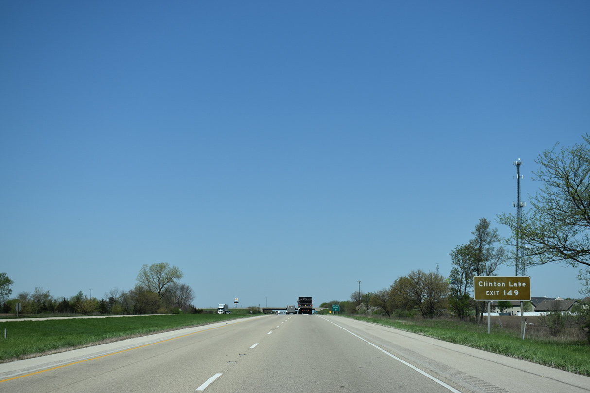
| CR 21 north from Le Roy to CR 36 east leads to Moraine View State Park on Dawson Lake. CR 21 south from Le Roy becomes De Witt County Route 8 en route toward Clinton Lake. 05/07/18 |
|
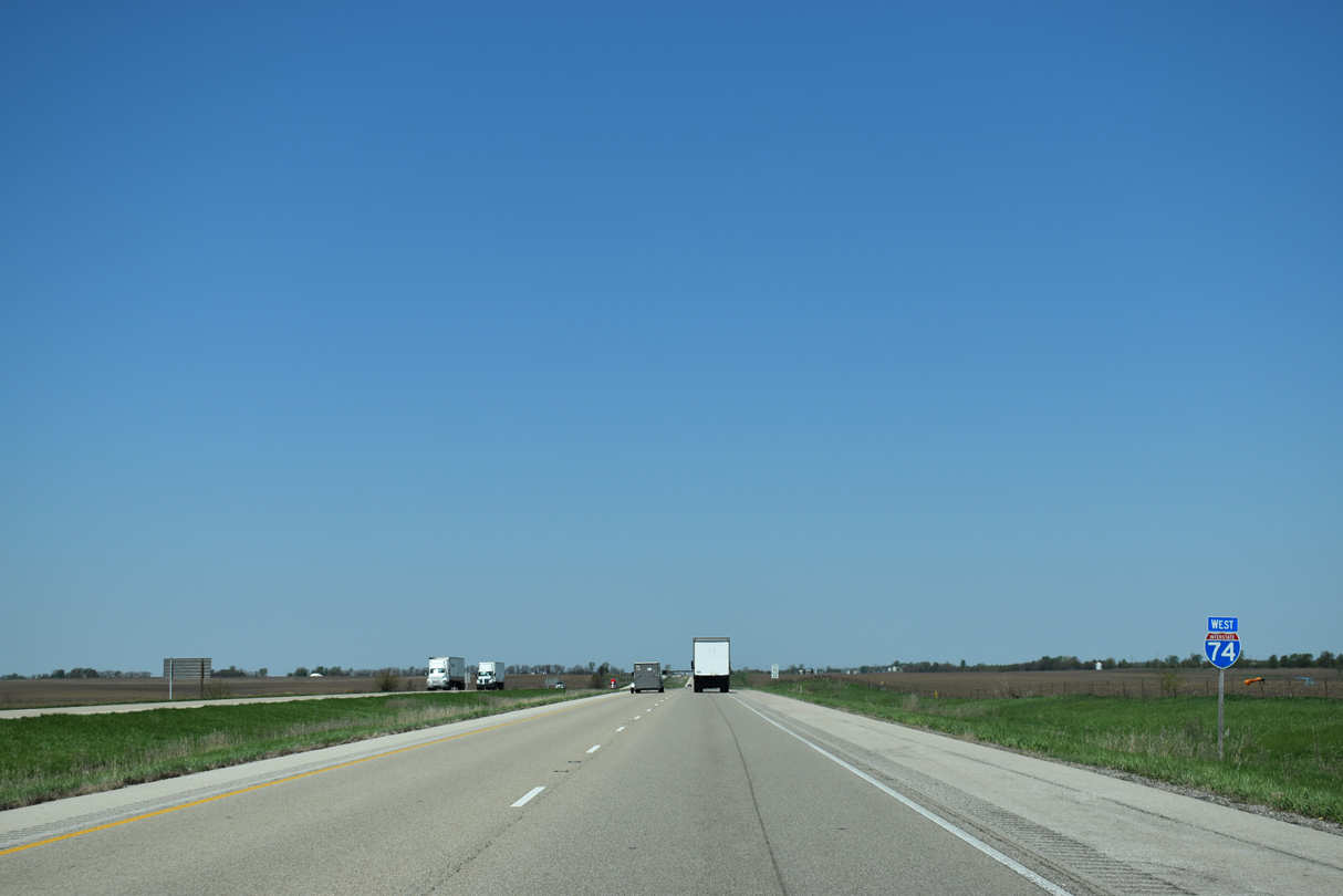
| Exit 149 leaves I-74 west for Chestnut Street in Le Roy. Chestnut Street curves 0.55 miles northeast to U.S. 150 (Cedar Street) at the city center and southwest onto 2450 E Road ahead of U.S. 136. 05/07/18 |
|
| Interstate 74 parallels a Norfolk Southern Railroad line and U.S. 160 northwest from Le Roy into the village of Downs. 05/07/18 |
|
| One mile east of the diamond interchange (Exit 142) with McLean County Route 36 (N 2050 East Road) in Downs. Downs lies just southeast of the outskirts of Bloomington. 05/07/18 |
|
| CR 36 follows Seminary Street north from Exit 142 to Washington Street east and U.S. 150 (Highway Avenue) in Downs.
CR 29 (Towanda Barnes Road) leads north along multi lane highway from U.S. 150 outside town to Central Illinois Regional Airport at Bloomington-Normal (BMI) and IL 9. 05/07/18 |
|
| Heading west from Exit 142 and Interstate 74, McLean County Route 36 extends 6.3 miles to U.S. 51 near Randolph. 05/07/18 |
|
| Interstate 74 runs along or within the Downs village limits northwest for another 2.43 miles from CR 36 at Exit 135. 05/07/18 |
|
| A 6.3 mile long uninterrupted stretch precedes south Bloomington along Interstate 74 west. 05/07/18 |
|
| CR 20 (Old Colonial Road) spans Interstate 74 two miles from the six-ramp parclo interchange (Exit 135) with U.S. 51 Business (Main Street) north and U.S. 51 south. 05/07/18 |
|
| Three exits join Interstate 74 with the city of Bloomington over the course of six miles. These include Business Loop I-55 (Veterans Parkway) in three miles and U.S. 150/IL 9 (Market Street) after I-74 joins I-55 north. 05/07/18 |
|
| Interstate 39 and U.S. 51 join the Bloomington-Normal area with Rockford. 05/07/18 |
|
| U.S. 51 enters the Bloomington area from Decatur and Clinton to the south. 05/07/18 |
|
| U.S. 51 bypasses Bloomington and Normal using I-74 west and Interstate 55 north while U.S. 51 Business follows Main Street north to both Downtown Bloomington and the campus of Illinois State University in Normal. 05/07/18 |
|
| U.S. 51 Business extends 8.95 miles north from Exit 135 to Interstate 39 at Exit 2 beyond Normal. 05/07/18 |
|
| Exit 135 separates from I-74 west for U.S. 51 south to Decatur and U.S. 51 Business (Main Street) north into Bloomington. Interstate 74 combines with I-55 north at the succeeding exit. 05/07/18 |
|
| I-74/U.S. 51 overlap 2.14 miles west to Interstate 55 in southwestern Bloomington. 12/21/23 |
|
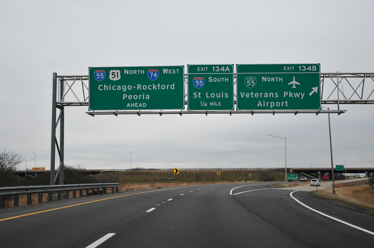
| A directional cloverleaf interchange at Exit 134 joins I-74/U.S. 51 with Business Loop I-55 (Veterans Parkway) north into Bloomington and I-55 south to Springfield. 12/21/23 |
|
| Business Loop I-55 (Veterans Parkway) follows Historic U.S. 66 to Main Street (U.S. 51 Business), where it partitions between the original route north to Downtown and the second route along the arterial bypass to the east side of Normal. 12/21/23 |
|
| Business Loop I-55 commences north where I-55 joins I-74 west. The 9.74 mile long loop returns to I-55 at Exit 167, 4.3 miles east of the separation with I-74 west. Interstate 55 south from Bloomington and forthcoming Exit 134 A either overlaid or supplanted Historic U.S. 66 southwest to St. Louis. 12/21/23 |
|
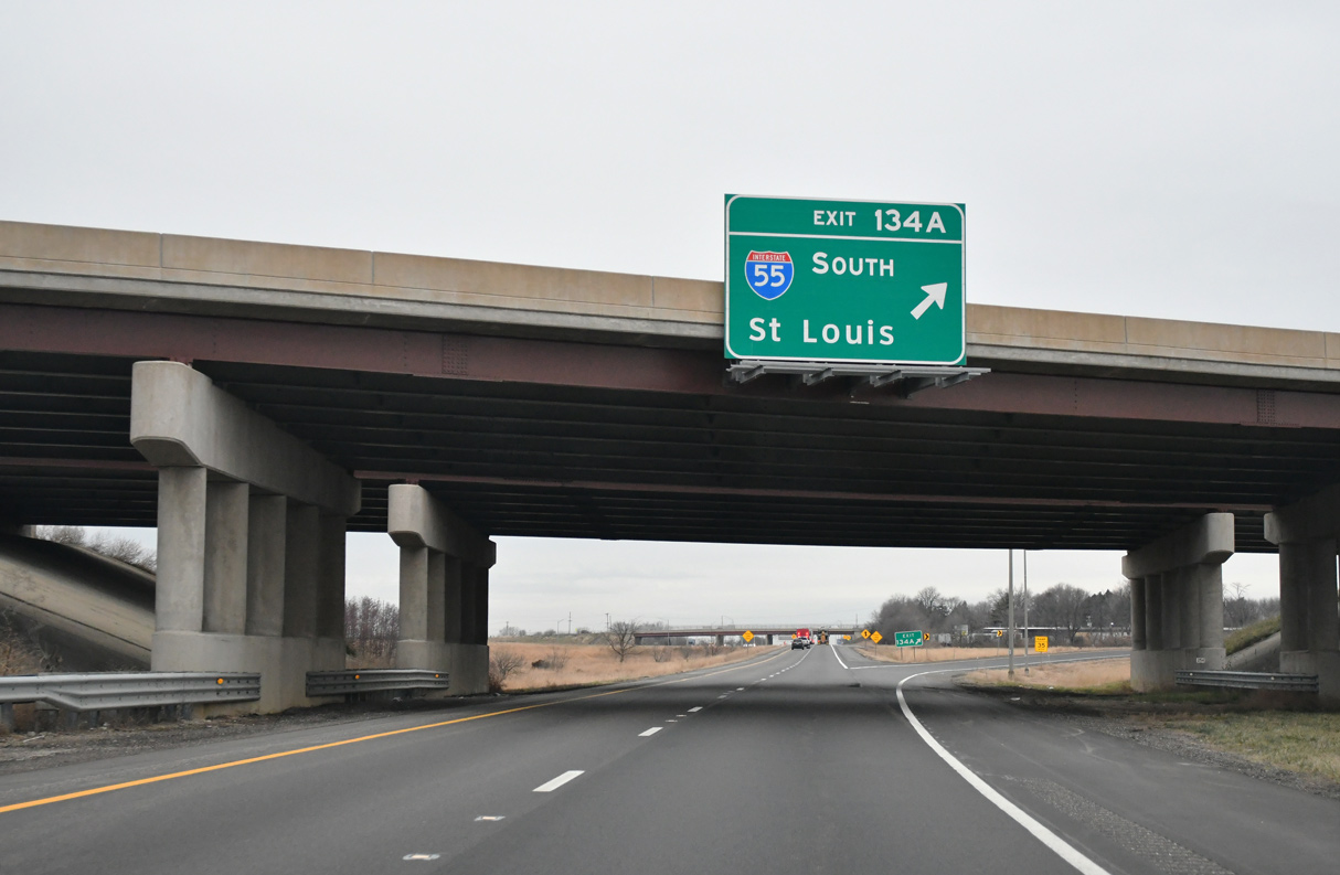
| Exit 134 A loops onto Interstate 55 south. The freeway travels 26 miles to Lincoln, 57 miles to Springfield and 157 miles to St. Louis, Missouri. I-55 north and I-74 west combine for 6.4 miles through the west side of Bloomington and Normal. 12/21/23 |
|
| The freeway expands to six overall lanes north from where traffic from I-74/U.S. 51 west merges onto Interstate 55 north. 12/21/23 |
|
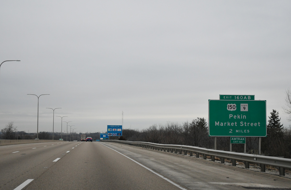
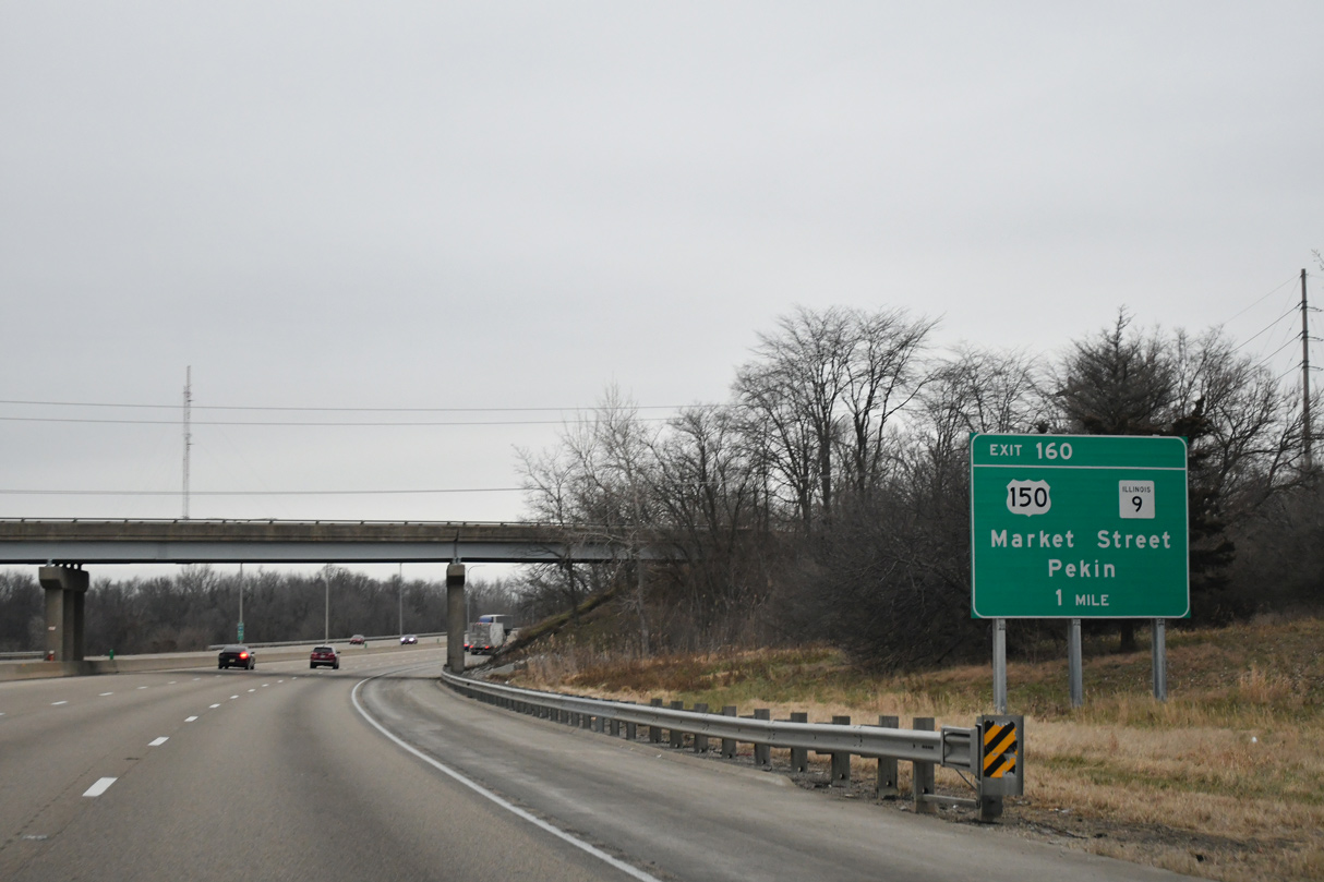
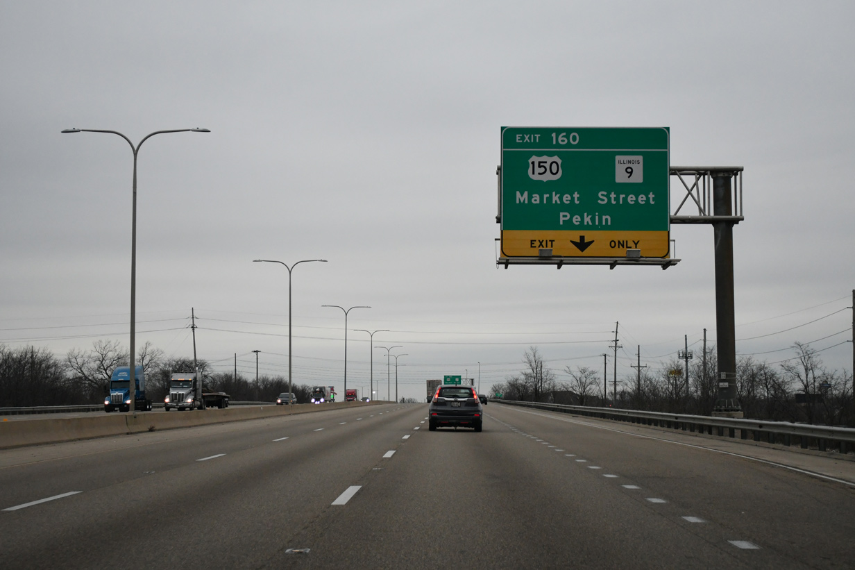
| The six-ramp parclo interchange (Exit 160) with U.S. 150/IL 9 (Market Street) is the lone exit on the I-55/74 overlap. 12/21/23 |
|
| U.S. 150/IL 9 combine for four miles between Mitsubishi Motorway to the west and Clinton Street east of Downtown. 12/21/23 |
|
| U.S. 150 turns north onto Mitsubishi Parkway from IL 9 to Yuton and I-74 at Exit 125. 12/21/23 |
|
| IL 9 continues 19.7 miles west from Exit 160 to Mackinaw and 36 miles to Pekin along the Illinois River 12/21/23 |
|
| IDOT traffic counts along I-55/74-U.S. 51 north of U.S. 150/IL 9 in 2017 were 46,000 vehicles per day (vpd). 12/21/23 |
|
| I-74 branches westward from I-55/U.S. 51 north at a trumpet interchange (Exit 163) in northwest Normal. 12/21/23 |
|
| I-55/U.S. 51 split with I-74 west one mile west of the south end of Interstate 39 at Exit 164. 12/21/23 |
|
| I-74 resumes a westward course from Exit 163, 25 miles to Morton and 34 miles to Peoria. 12/21/23 |
|
| I-55 continues northeast from Bloomington to Pontiac, Joliet and Chicago while I-39 heads north to La Salle and Rockford. 12/21/23 |
|
| Interstate 74 leaves the Normal town limits west from the exchange with I-55/U.S. 51. 12/21/23 |
|
| U.S. 150 heads 3.69 miles north from IL 9 to the Rivian Manufacturing Center and Interstate 74 at forthcoming Exit 125. 12/21/23 |
|
| U.S. 150 shifts north of I-74 from the diamond interchange at Exit 125 en route to Carlock. 12/21/23 |
|
| Exit 125 departs Interstate 74 west for U.S. 150 south to Yuton and Rivian Motorway and north to Congerville in Woodford County. 12/21/23 |
|
| Turning northwest, the succeeding exit along Interstate 74 westbound is for the village of Carlock. 12/21/23 |
|
| Weigh stations operate along both directions of Interstate 74 in Dry Grove township. 12/21/23 |
|
| The westbound weigh station in McLean County is located at milepost 123. 12/21/23 |
|
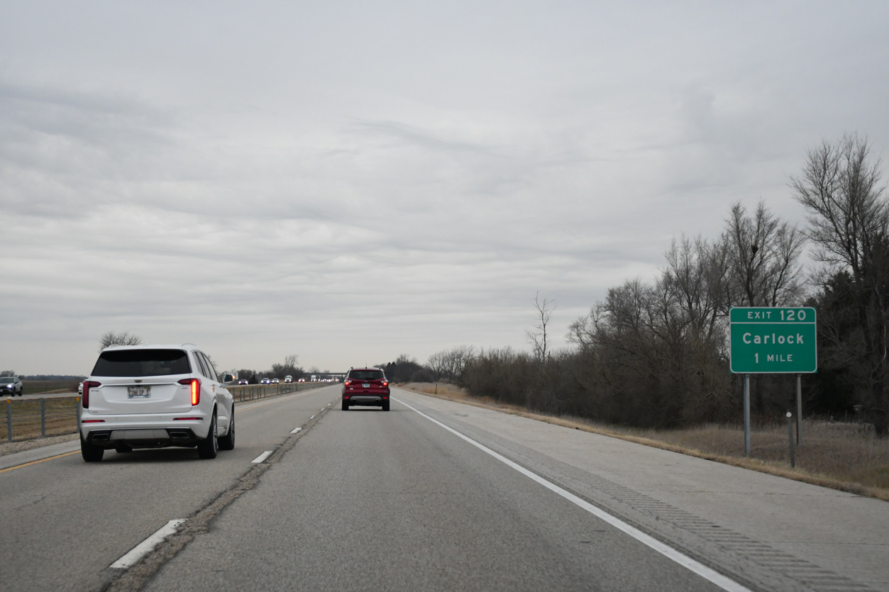
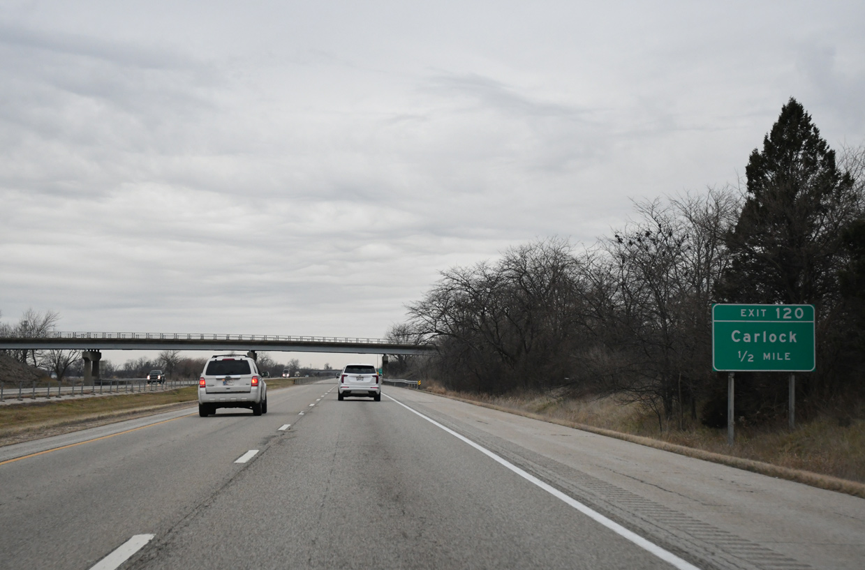
| CR 53 extends west from Washington Street in Carlock to the diamond interchange at Exit 120. 12/21/23 |
|
| Washington Street intersects U.S. 150 (Bradbury Street), 0.41 miles east of Interstate 74 in Carlock. 12/21/23 |
|
| CR 53 (School Street) heads west than south 4.70 miles from I-74 at Exit 120 to become West Street in the village of Danvers. 12/21/23 |
|
| Interstate 74 crosses Rock Creek beyond this confirming marker posted after Carlock. 12/21/23 |
|
| Interstate 74 passes Congerville without direct access on the ensuing seven mile stretch to IL 117 at Goodfield. 12/21/23 |
|
| Paralleling a Norfolk Southern Railroad line, Interstate 74 arcs northwest into Woodford County. 12/21/23 |
|
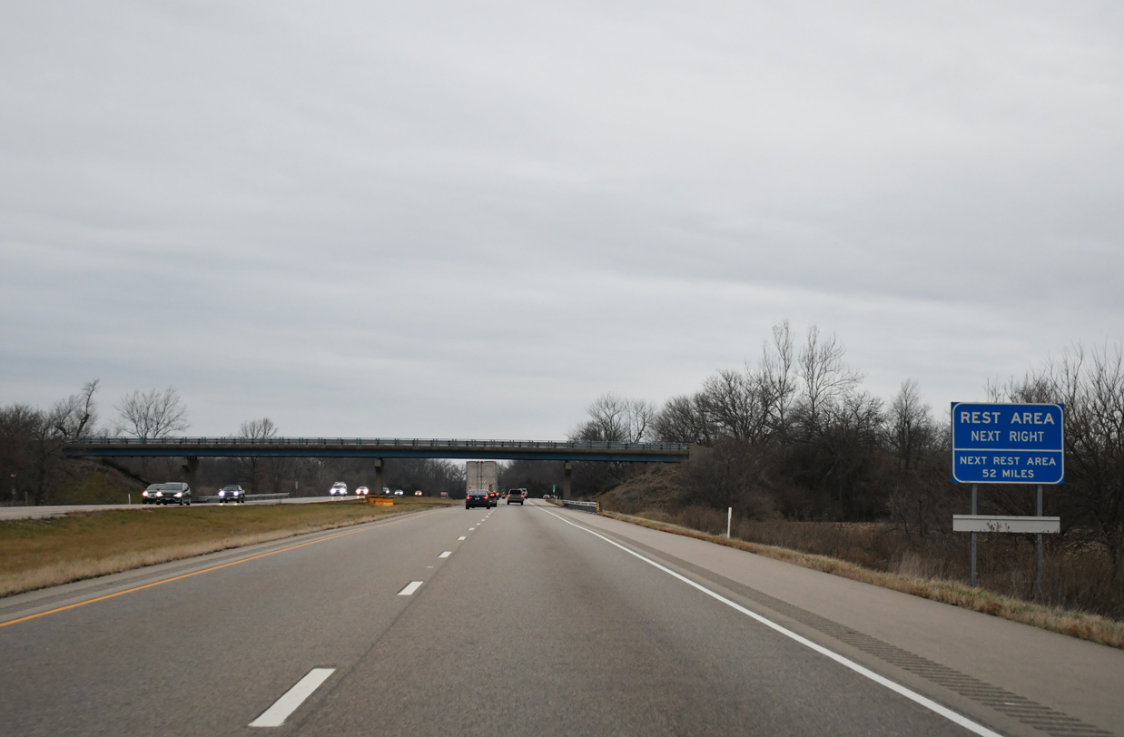
| Interstate 74 briefly passes through the Congerville village limits ahead of the CR 21 underpass, one mile ahead of the next westbound rest area. 12/21/23 |
|
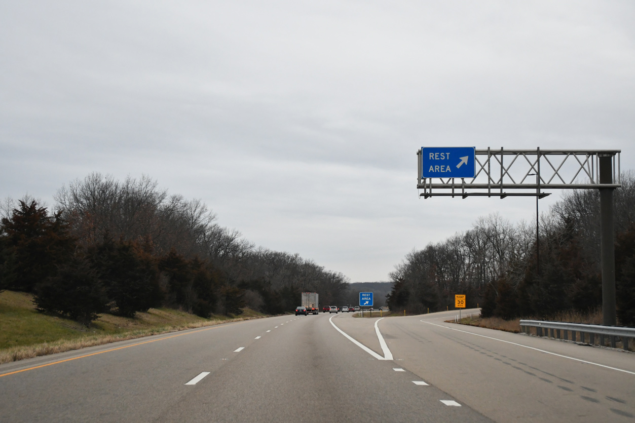
| The Mackinaw Dells Rest Area is the third facility along I-74 west in Illinois. The succeeding facility is the Spoon River Rest Area in 52 miles. 12/21/23 |
|
| The roadways of I-74 separate with a forested median where the freeway bends northward at the Mackinaw Dells Rest Area. 12/21/23 |
|
| Shifting a one mile north latitudinally, Interstate 74 crosses the Mackinaw River. 12/21/23 |
|
| A diamond interchange (Exit 112) connects I-74 with the south end of IL 117 in one mile. 12/21/23 |
|
| Following Eureka Street, IL 117 leads 0.36 miles north from I-74 to U.S. 150 (Peoria Street) adjacent to Goodfield village hall. 12/21/23 |
|
| Continuing north from Goodfield, IL 117 travels to the city of Eureka, home of Eureka College. 12/21/23 |
|
| IL 117 measures 33.85 miles in length from Goodfield to IL 17 at Toluca.1 12/21/23 |
|
| Interstate 74 traverses agricultural areas west from Goodfield to the village of Deer Creek. 12/21/23 |
|
| Interstate 155 connects Lincoln with Peoria via I-74 in ten miles. 12/21/23 |
|
| U.S. 150 spans Interstate 74 along the Tazewell County line north into Deer Creek. 12/21/23 |
|
| Interstate 74 crosses Mud Creek at mile marker 108. 12/21/23 |
|
| Transmission lines supplying electricity to Chicago angle northeast over I-74 from the Powerton Generation Station near Pekin. 12/21/23 |
|
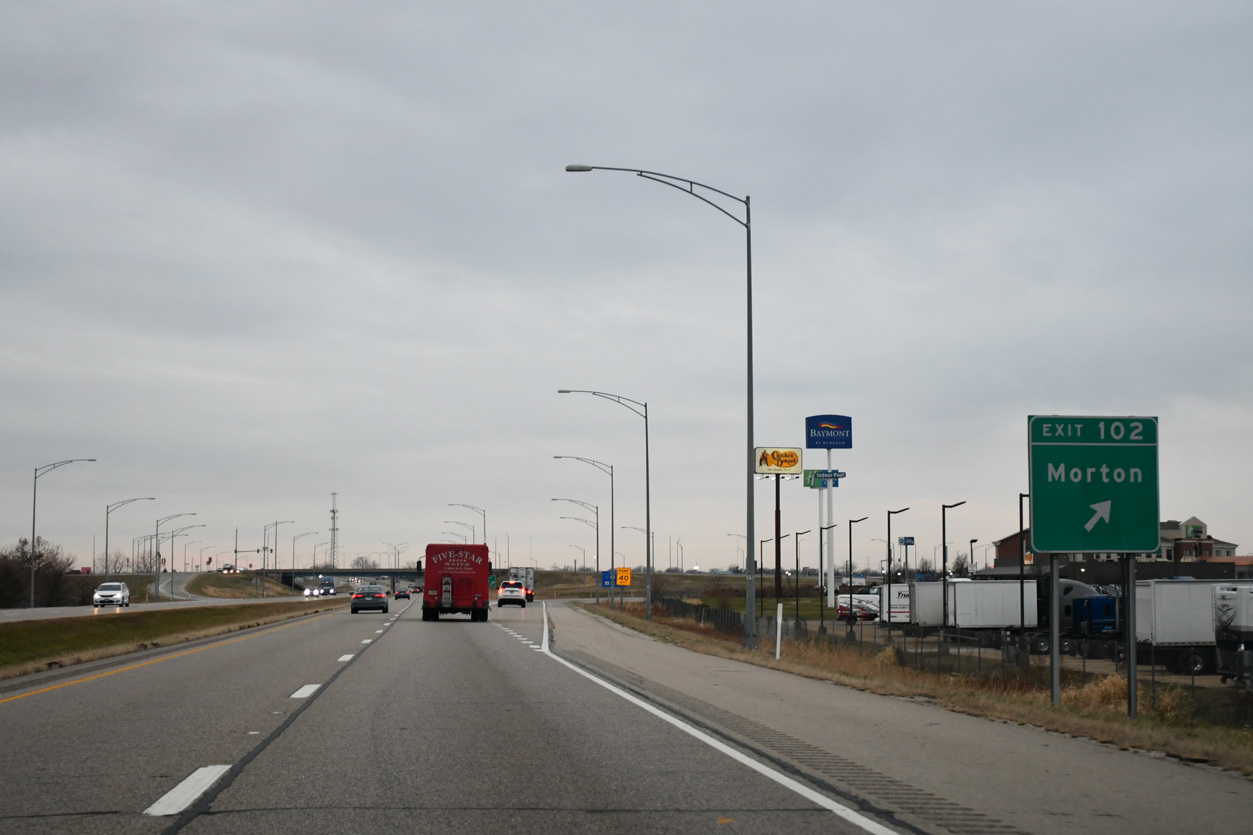
| Passing over the Toledo, Peoria & Western Railway, Interstate 74 west enters the village of Morton ahead of Exit 102 to Morton Avenue. 12/21/23 |
|
| I-74 runs north of the Caterpillar Motron Parts Facility between the N Main Street under crossing and Exit 102 to Motron Avenue. 12/21/23 |
|
| Morton Avenue stems 0.41 miles north from U.S. 150 (Jackson Street) to the parclo interchange at Exit 102. The exchange was modified to remove the loop ramp from I-74 east to Morton Avenue in 2013-16. 12/21/23 |
|
| The I-74 and I-155 Improvement Project between Spring 2013 and October 2016 reconstructed the freeway west from Morton Avenue to the split with I-474. This included adding an additional lane in each direction and replacing the bridges above U.S. 150 (Jackson Street) and the 12 foot 7 inch single tube tunnels taking Muller Road (CR 22) below I-74. 12/21/23 |
|
| Interstate 155, formerly IL 121, ties into I-74 at a trumpet interchange (Exit 101) in northwest Morton. I-155 leads south to I-55 at Lincoln, providing a cutoff for interests between Peoria, Springfield, and St. Louis, Missouri. 12/21/23 |
|
| Signed in 1994, I-155 constitutes a 32.13 mile rural freeway southward from Exit 101.
The I-74 and I-155 Improvement Project reconfigured the exchange here so that I-74 travels at-grade below elevated ramps with I-155. 12/21/23 |
|
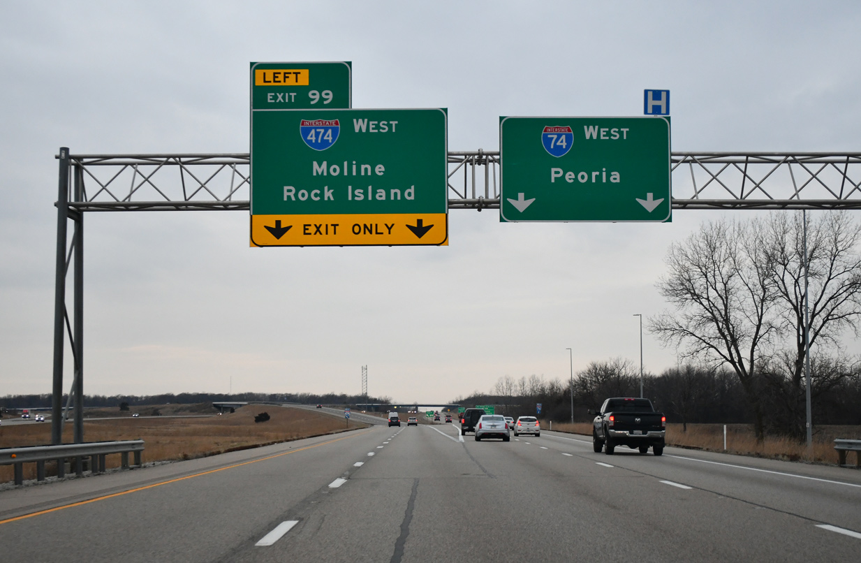
| Continuing from I-155, the I-74 and I-155 Improvement Project added a fourth westbound lane to Exit 99 for Interstate 474. 12/21/23 |
|
| Through traffic interests to Galesburg and the Quad Cities are advised to use Interstate 474 to bypass the city of Peoria. 12/21/23 |
|
| I-74 enters East Peoria and reaches Downtown Peoria in six miles. I-474 travels around three miles longer than the in-city route. Both freeways carry four lanes overall, except for a six lane section on I-74 between Exits 92 A and 89. 12/21/23 |
|
| The 14.88 mile long route of I-474 runs through Creve Coeur and Bellevue to the southwest of Peoria and north by General Wayne A. Downing Peoria International Airport (PIA) at Exit 5. 12/21/23 |
|
| West from Exit 99, Interstate 474 first meets IL 29 at Exit 9 north of Pekin along the Illinois River. The bypass was completed in the mid 1970s. 12/21/23 |
|
| Traveling through the wye interchange (Exit 99) with I-474 west on I-74 at Cloverdale. A continuation of the Interstate 474 route northward was one possibility included for a proposed Illinois River Bridge at Mossville and a Ring Road around East Peoria. 12/21/23 |
Page Updated 01-16-2024.

 West
West


 North
North