|
| The multi use path along the Umatilla Bridge separates with I-82/U.S. 395 north to Portage Route Trail and the unincorporated community of Plymouth. A freeway entrance sign followed to discourage pedestrians from walking on the right of way. 08/28/06 |
|
| Exit 131 departs a half mile north of the Umatilla Bridge for SR 14 west and McNary Road east. SR 14 runs across the north side of the Columbia River west to Vancouver. The state route replaced U.S. 830 along the course from U.S. 97 at Maryhill to Interstate 5 in 1968. McNary Road spurs east to McNary Locks on the river. 08/28/06 |
|
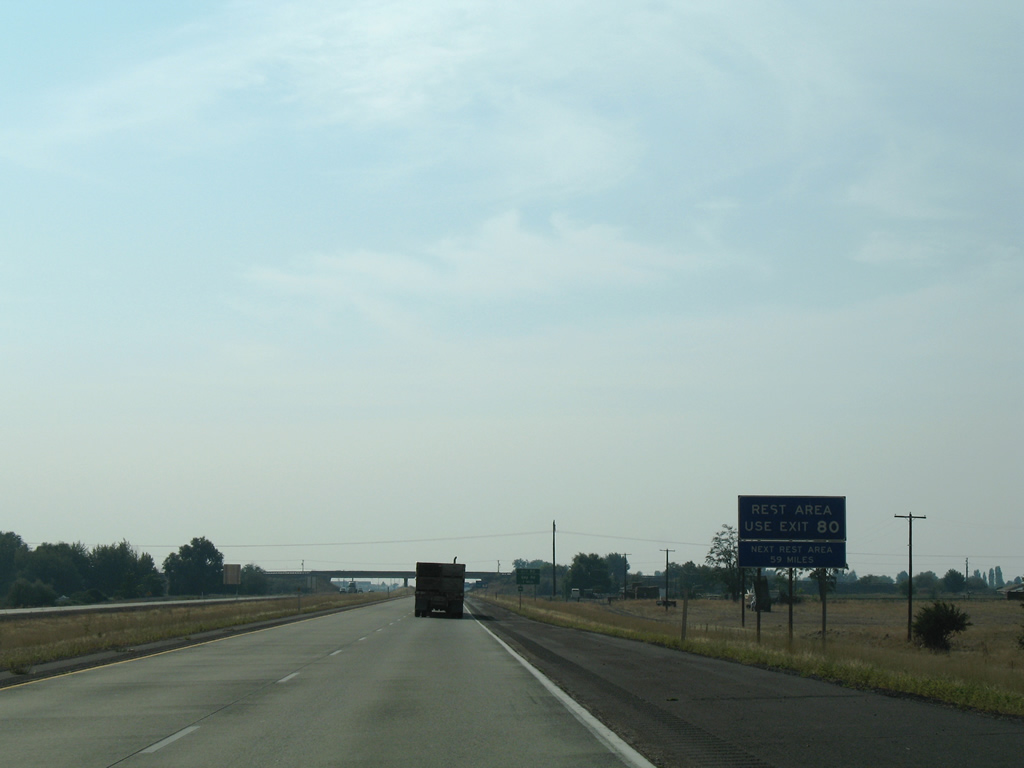
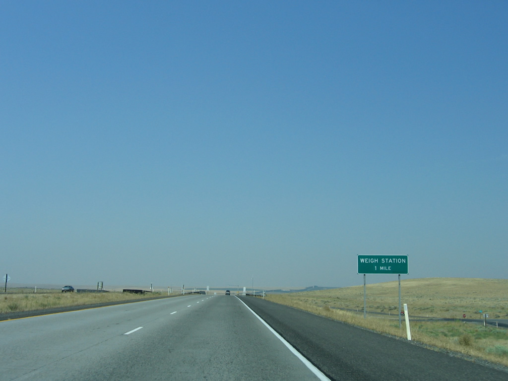
| Speed limits increase to 70 mph north of Exit 131. The Plymouth Weigh Station follows. 08/28/06 |
|
| The two mile stretch of Interstate 82 from SR 14 northward opened on July 29, 1981 as part of work to construct the weigh station. 08/28/06 |
|
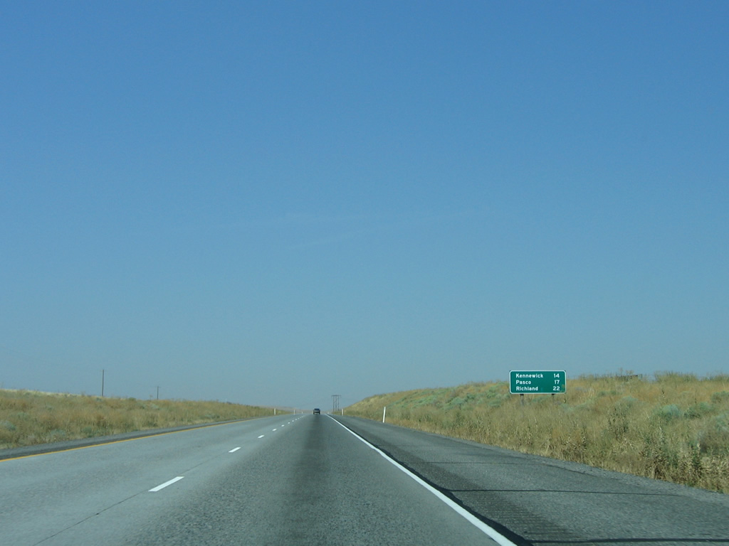
| Kennewick and Pasco in the Tri-Cities are directly served by U.S. 395. The freeway along SR 240 connects Kennewick and U.S. 395 with Richland to the west. 08/28/06 |
|
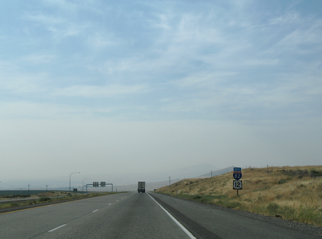
| Interstate 82 is designated a Washington Green Highway as legistated in 2007. The Green Highway aspect of the freeway indicates that the route provides options for alternative fuel facilities. 08/03/11 |
|
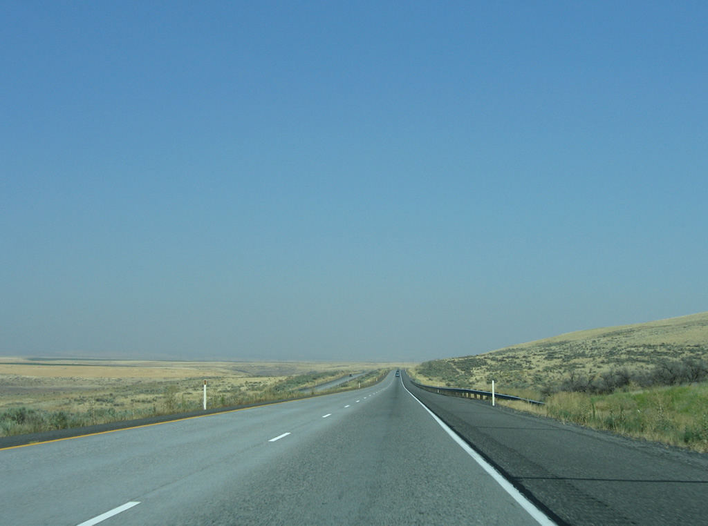
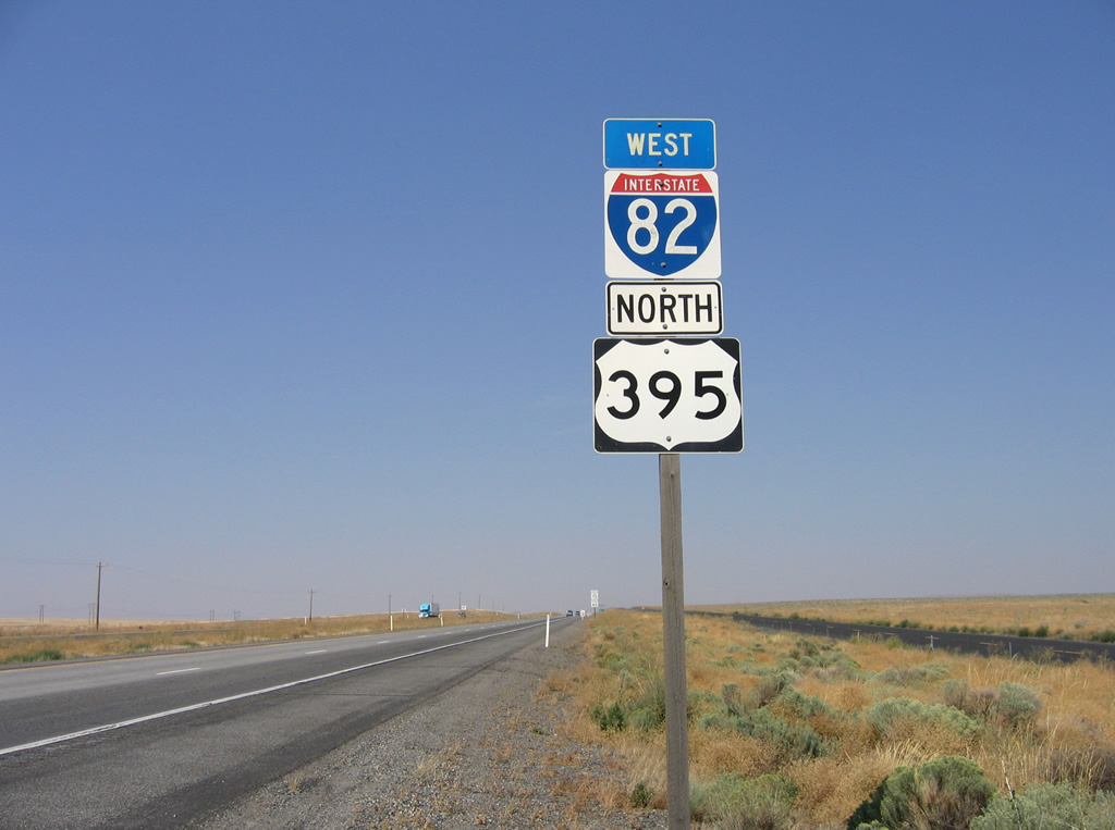
| Interstate 82 directly replaced the alignment of U.S. 395 and former SR 14 northeast above Fourmile Canyon. 08/03/11, 08/28/06 |
|
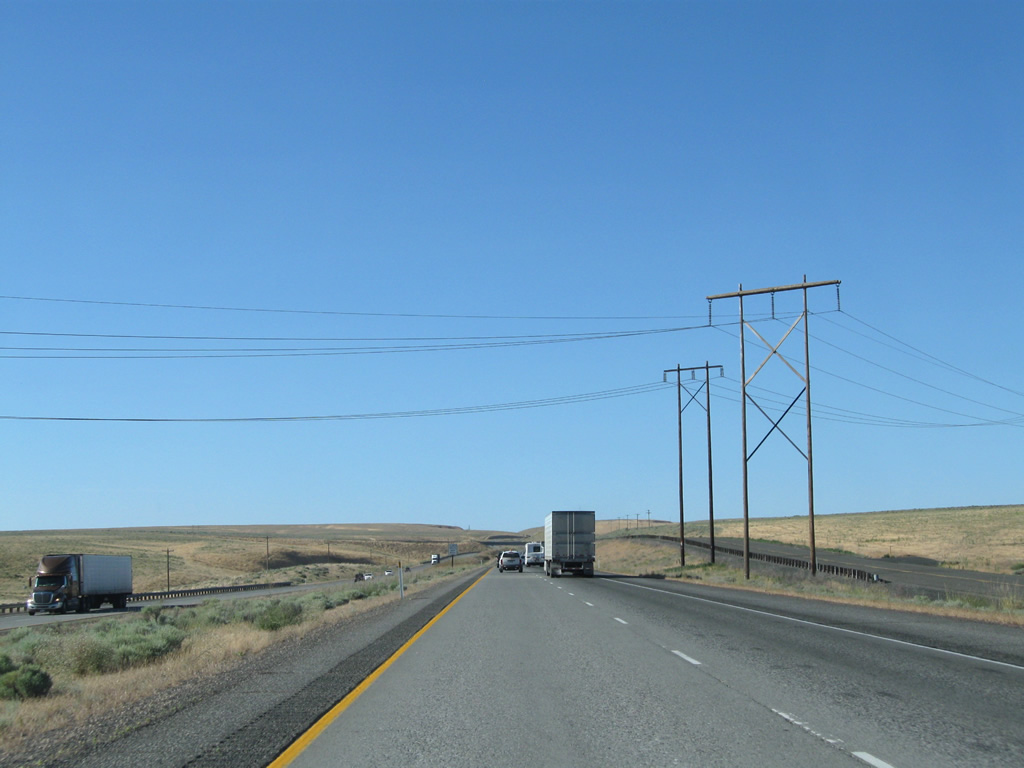
| Transmission lines lead northeast from Sillusi Butte and pass over I-82/U.S. 395 near Taylor Canyon. 08/28/06 |
|
| Interstate 82 turns northeast away from the original SR 14 footprint by Prospect Canyon. Originating at a dead end, Bofer Canyon Road (old SR 14) runs along the east side of the freeway to Coffin Road. 08/28/06 |
|
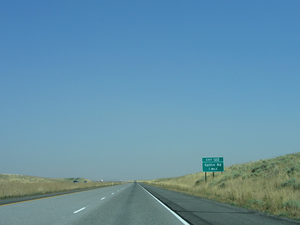
| Coffin Road connects I-82/U.S. 395 with agricultural areas adjacent to the diamond interchange at Exit 122. 08/28/06 |
|
| Exit 122 departs I-82/U.S. 395 north for Coffin Road near Bofer Canyon Road. 08/03/11 |
|
| Interstate 82 doubles as the Lewis and Clark Trail between SR 14 and the split with U.S. 395 at Kennewick. This is not the only freeway portion along the trail, as a portion of Interstate 5 along the Columbia River also coincides with the historic route. 08/28/06 |
|
| Confirming markers for I-82/U.S. 395 posted north of Coffin Road by Bofer Canyon. 08/28/06, 08/03/11 |
|
| 14 miles south of Kennewick along I-82 west / U.S. 395 north. 08/28/06, 08/03/11 |
|
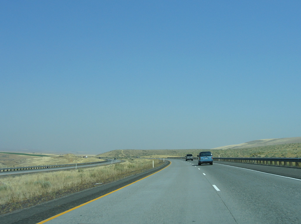
| Rising onto Horse Heaven Hills, I-82/U.S. 395 initially follow Bofer Canyon before shifting northeast near Johnson Butte. Bofer Canyon Road parallels the east side of the freeway. 08/28/06, 08/03/11 |
|
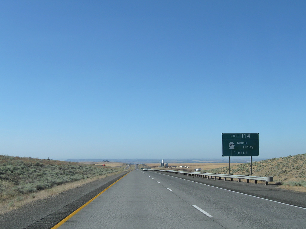
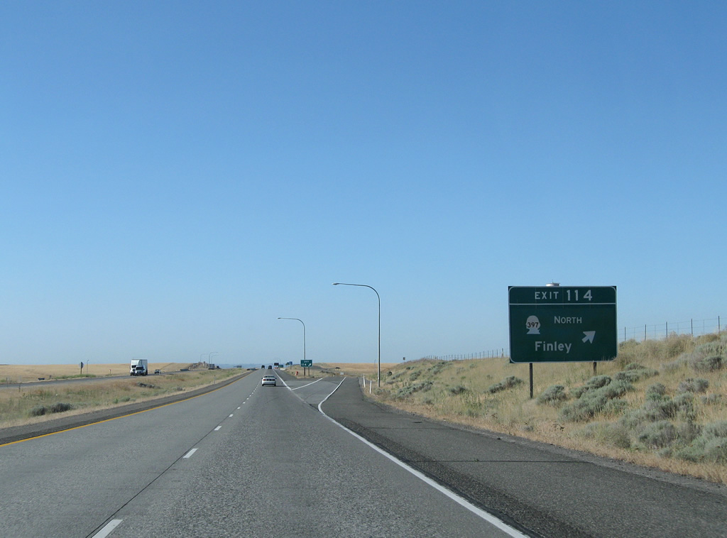
| Locust Grove Road and SR 397 come together at a diamond interchange in one mile. SR 397 was extended to Exit 114 in 2009. 08/03/11 |
|
| Locust Grove Road spurs west from Exit 114 to Coyote Canyon. SR 397 begins a 22.31 mile loop to the east. The state route travels 11.03 miles to Finley along an alignment opened in October 2008. Connections with Olympia Street provide a route into south Kennewick. 08/03/11 |
|
| U.S. 395 parts ways with Interstate 82 west at forthcoming Exit 113. U.S. 395 (Ely Street) transitions to a commercial arterial on the 5.5 miles to the Blue Bridge for Pasco. 08/28/06 |
|
| Long distance interests to Spokane are directed to remain on U.S. 395 through the Tri-Cities to an expressway alignment leading northeast to Connell and Interstate 90 at Ritzville. U.S. 395 north to U.S. 12 east leads southeast to Wallula and Walla Walla. 08/28/06 |
|
| U.S. 395 heads 7.54 miles north from the trumpet interchange at Exit 113 to an overlap with Interstate 182. 08/03/11 |
|
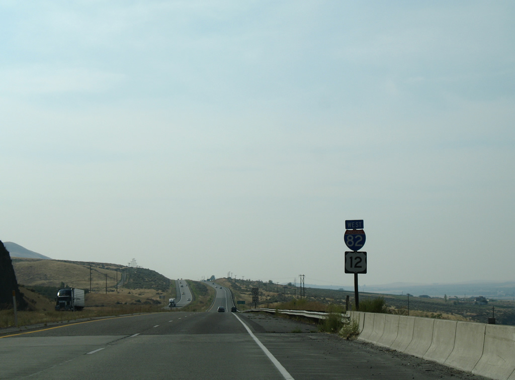
| Interstate 82 turns northwest to circumvent Badger Mountain. 08/28/06 |
|
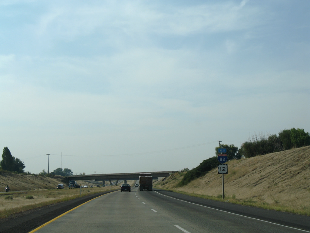
| Ten miles separate U.S. 395 north from U.S. 12 west on I-82. Yakima debuts on Interstate 82 distance signs in Washington at 80 miles to the northwest. 08/28/06 |
|
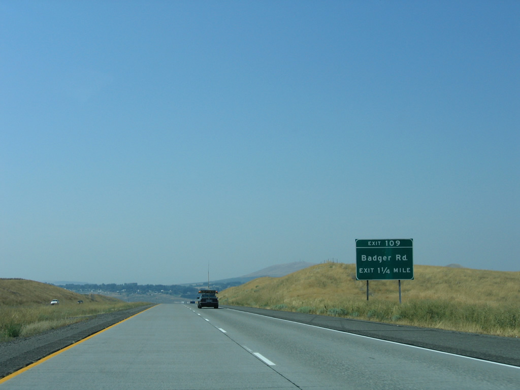
| A folded diamond interchange (Exit 109) joins Interstate 82 west with Badger Road in one mile. 08/28/06 |
|
| Clodfelter Road and an aqueduct for Kennewick Main Canal pass over Interstate 82 on the descent toward Exit 109. Badger Road becomes Clearwater Avenue in the city of Kennewick. Clearwater comprises a multi lane arterial lined with increasing development east to U.S. 395 (Ely Street). 08/28/06 |
|
| Exit 109 leaves Interstate 82 west for Badger Road west and Clearwater Avenue east. Badger Road arcs westward to the BNSF Railroad sidings of Badger and Kiona along Horse Heaven Hills. 08/28/06 |
|
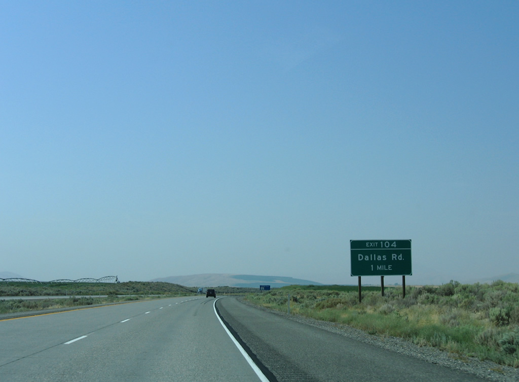
| Continuing northwest, Interstate 82 crosses agricultural areas to the diamond interchange (Exit 104) with Dallas Road. 08/28/06 |
|
| Dallas Road links the freeway with Badger Road to the west and Bombing Range Road in West Richland to the north. 08/28/06 |
|
| The last Tri-Cities area exit, the trumpet interchange (Exit 102) with I-182/U.S. 12 east into Richland is next on I-82 west. 08/28/06 |
|
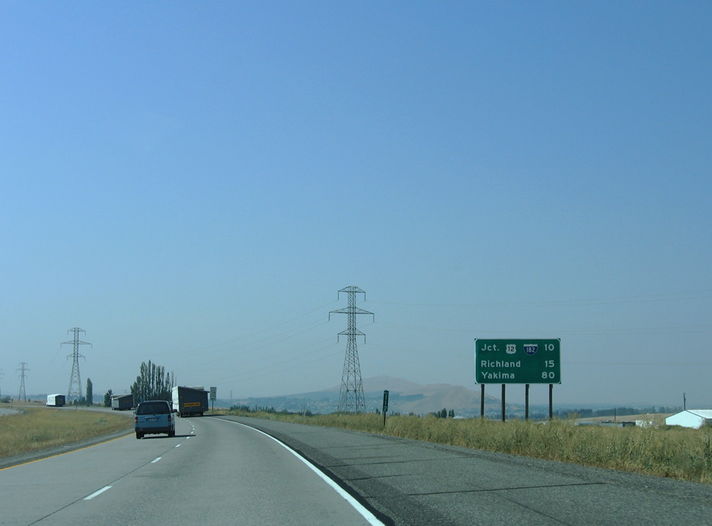
| Interstate 182 travels 14.37 miles east with U.S. 12 to U.S. 395 in Pasco. U.S. 395 north to Interstate 90 east links the Tri-Cities with Spokane. 08/28/06 |
|
| Completed in 1986, Interstate 182 provides a high speed route toward the city centers of Richland, Pasco and Kennewick via SR 240 east. U.S. 12 follows all 15.19 miles of I-182 and continues an expressway into Walla Walla County. 08/28/06 |
|
| U.S. 12 joins Interstate 82 west from Goose Gap to Yakima for a 71.17 mile overlap. 08/28/06 |
|
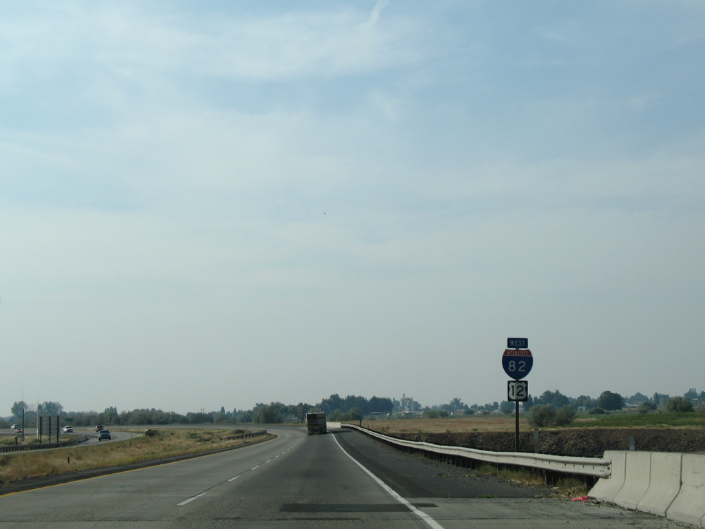
| Prosser follows Benton City west from the Tri-Cities along I-82/U.S. 12. The city lies at the east end of Yakima Valley in 19 miles. Red Mountain lies just north of the freeway. Beyond that peak is Rattlesnake Mountain. 08/28/06 |
|
| Staying north of Goose Hill, I-82/U.S. 12 lower to Kiona and the roundabout interchange (Exit 96) with SR 224 east and SR 225 north into Benton City. 08/28/06 |
|
| Exit 96 ties into a roundabout with SR 224 (Kennedy Road) east and SR 225 (1st Street) north. SR 224 joins Benton City with West Richland and SR 240 in Richland. 08/28/06 |
|
| SR 225 spans the Yakima River on a bridge built in 1957 as part of a 11.32 mile long arc between Benton City and SR 240 near Horn Rapids Dam on the Yakima River. 08/31/06 |
|
| I-82/U.S. 12 straddle northern reaches of Horse Heaven Hills from Benton City into Prosser. The freeway directly replaced the original four lane alignment of old U.S. 410 and U.S. 12 from Kiona west to Exit 93. 08/28/06 |
|
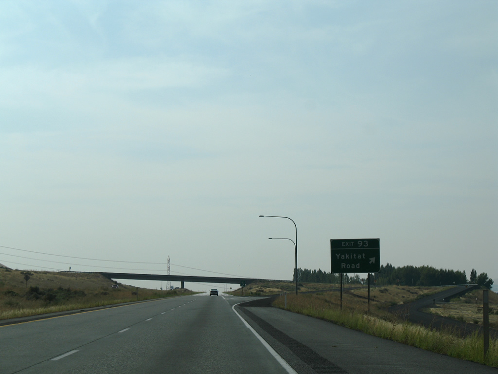
| Yakitat Road follows a stretch old former U.S. 410 and U.S. 12 between Exits 93 and Exit 88 on the south side of the freeway. 08/28/06 |
|
| Yakitat Road leads south from the diamond interchange at Exit 93 to old U.S. 410 and U.S. 12 and Chandler Road to the north. Yakitat Place ties into the road from the south. Both Yakitat Place and Chandler Road serve residences and farms unreachable by roads outside of I-82/U.S. 12. 08/28/06 |
|
| Construction of Interstate 82 directly replaced the original westbound roadway of former U.S. 410 and U.S. 12 just west of Exit 93. Yakitat Road represents the original eastbound lanes of the divided highway. 08/28/06 |
|
| The Yakima River flows close to the north side of Interstate 82 between Horse Heaven Hills and The Badlands. Visible in this scene is the Chandler Power and Pumping Plant. 08/28/06 |
|
| Agricultural areas occupy flat lands between the Yakima River and the adjacent Old Inland Empire Highway to the north of I-82/U.S. 12. Hills associated with The Badlands rise to the north. 08/28/06 |
|
| Gibbon Road acts as a connector between Yakitat Road (old U.S. 410 and U.S. 12) to the south and Gibbon Road west and Hansen Road north. 08/28/06 |
|
| Entering the diamond interchange (Exit 88) with Gibbon Road. Gibbon Road west and Hansen Road north end at isolated farmland. 08/28/06 |
|
| Shield assembly posted for I-82/U.S. 12 west where the freeway runs over the original lanes of U.S. 410 and U.S. 12. 08/28/06 |
|
| The westbound lanes at the roadway split beyond Gibbon utilizes the original four lane alignment for U.S. 410 and U.S. 12. The eastbound roadway follows a newer course to the south. 08/28/06 |
|
| Making a gradual northwesterly curve, I-82/U.S. 12 diverge from the original route of U.S. 410 and U.S. 12 on Wine Country Road at the east end of SR 22 in the city of Prosser. 08/28/06 |
|
| Wine Country Road (old U.S. 410 and U.S. 12) loops south from I-82/U.S. 12 to the Prosser city center. Grant Avenue north to Old Inland Empire Highway leads to North Prosser and Washington State University Experimental Station. 08/28/06 |
|
| SR 22, a 35.84 mile loop, bypasses Prosser en route to Mabton and Toppenish through southern reaches of Yakima Valley. SR 221, a 25.95 mile highway south to SR 14 at Paterson, begins 0.78 miles south of the folded diamond interchange (Exit 82) at Paterson Road. 08/28/06 |
|
| Westbound I-82/U.S. 12 passes under Wine Country Road and a BNSF Railroad line ahead of the first crossing of the Yakima River. 08/28/06 |
|
| Reassurance shields for I-82/U.S. 12 west appear between the Yakima River and Chandler Canal. 08/28/06 |
|
| Grandview follows as the next control point beyond the Benton County line in eight miles. 08/28/06 |
|
| An off-freeway rest area lies along Merlot Drive adjacent to Gap Road and the diamond interchange at Exit 80. 08/28/06 |
|
| Gap Road stems north from CR 12/Wine Country Road (old U.S. 410 and U.S. 12) to meet I-82/U.S. 12 west in one mile. 08/28/06 |
|
| Gap Road continues north from Exit 80 and Prosser to Snipes Road near The Gap in Sagebrush Ridge. CR 12 lines the south side of Interstate 82 west to Grandview. 08/28/06 |
|
| Continuing northwest, I-82/U.S. 12 pass under Johnson Road and the Washington Central Railroad and over Sunnyside Canal on the five miles leading to Grandview. 08/28/06 |
|
| McCreadie Road joins the freeway with Wine Country Road (old U.S. 410 and U.S. 12) to the south and County Line Road to the north via a diamond interchange (Exit 75) in one mile. 08/28/06 |
|
| McCreadie Road south from Exit 75 to Wine County Road (old U.S. 410/12) connects I-82 with the Grandview city center. County Line Road stretches northward from McCreadie Road along the Benton / Yakima County line onto Sagebrush Ridge. 08/28/06 |
Page Updated 10-11-2011.

 West
West  North
North


 West
West