
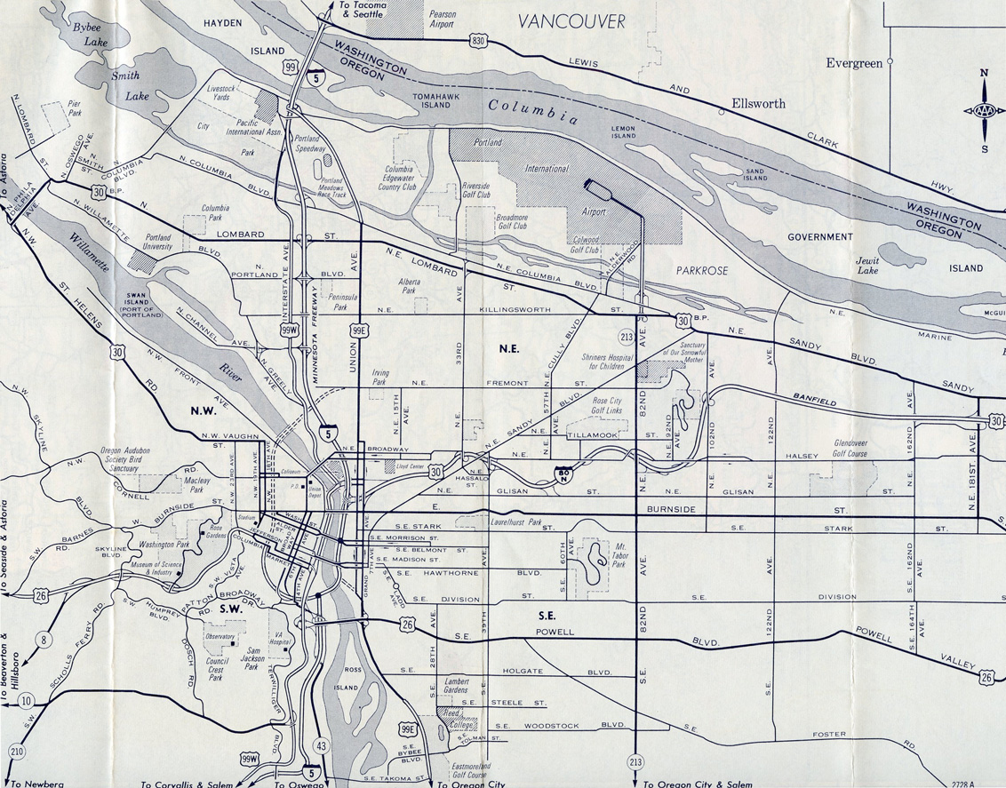
The initial section of Interstate 405 complete by 1967 encircled the city center northwest from Harbor Drive to Montgomery Street.
Interstate 405, known as the Stadium Freeway, is a short freeway looping around downtown Portland to the west of the Willamette River. The northern and southern terminus at Interstate 5 are on elevated stack interchanges located over the Willamette River. Interstate 405 appears to be cosigned with U.S. 26 for a portion of its southern half and is cosigned with U.S. 30 on its northern half.
Interstate 405 was originally constructed in the 1960s with the intent to evenly distribute traffic around the downtown area between the two freeways that encircle downtown Portland. Traffic moving through but not stopping in the city could breeze right on through along Interstate 5. Construction on Interstate 405 (the Stadium Freeway) began in 1964, and the freeway opened in two stages: everything except the Fremont Bridge opened on February 25, 1969, and the Fremont Bridge opened on November 11, 1973. Interstate 405 was the single most expensive Interstate Highway construction project in Oregon, costing $121 million.
Interstate 405 Oregon Guides
- Andrew Fields
Connect with:
Interstate 5
U.S. 26
Page Updated 11-19-2010.