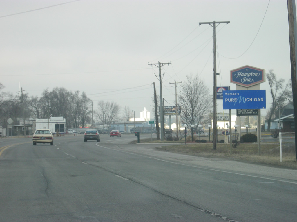
|
| North of the intersection with SR 114, SR 9 enters Whitley County (population 33,292). Within the first few miles of SR 9 in Whitley County, the highway also intersects SR 14, which goes for 123 miles from U.S. 41 in Newton County and then eastward to Winamac, Rochester, Akron, Silver Lake and South Whitley before ending at Interstate 69 in Fort Wayne. 08/16/09 |
|
| North of the junction with SR 9 and SR 14, Columbia City is only six miles away with Albion at 24 miles. 08/16/09 |
|
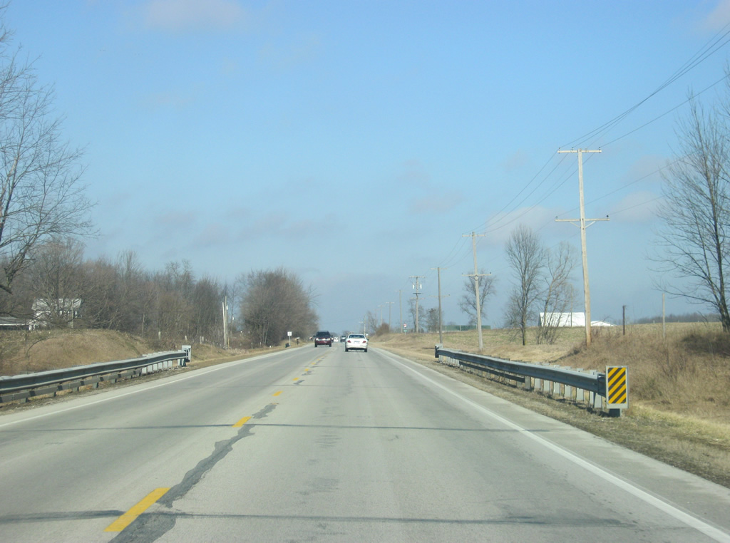
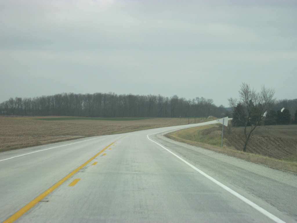
| A view of SR 9 in rural Whitley County approaching Columbia City. 08/16/09 |
|
| SR 9 nears the Columbia City area as it curves toward the intersection with SR 205 south. SR 205 goes for 32 miles from SR 5 in South Whitley through Columbia City and northeast to Garrett in DeKalb County. 08/16/09 |
|
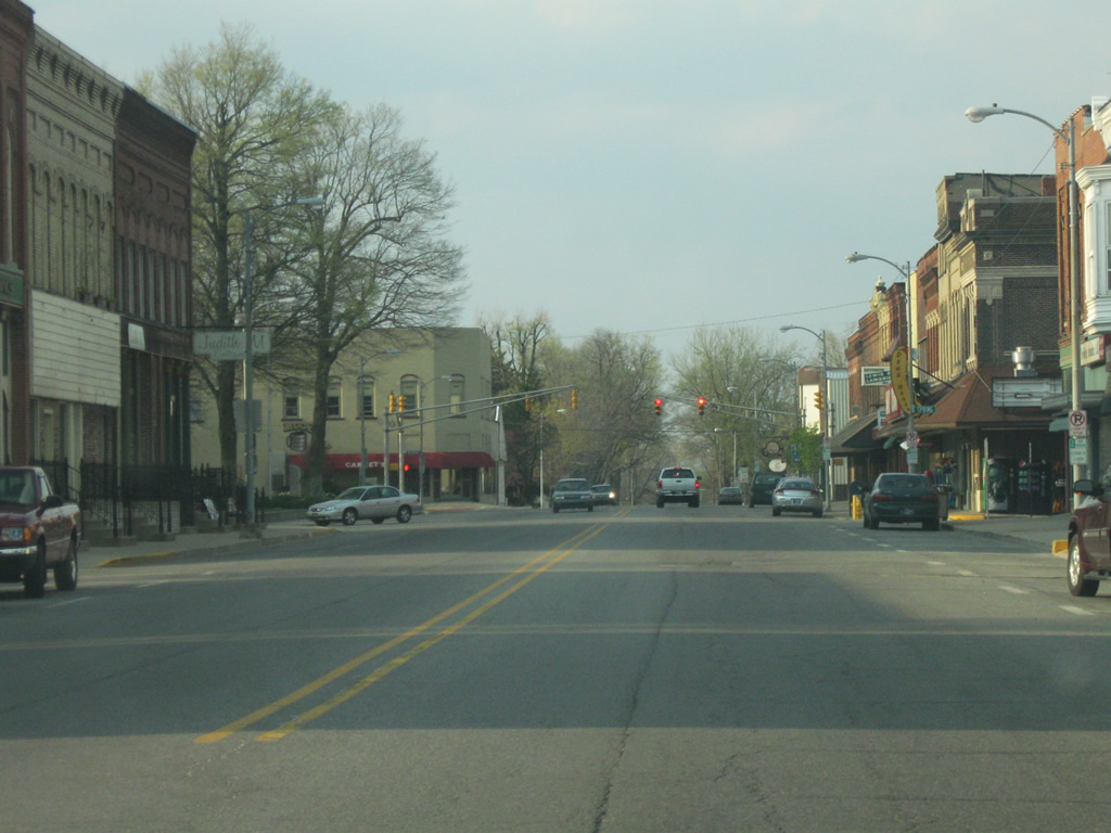
| SR 9 and SR 205 multiplex as they head into the Whitley County seat of Columbia City (population 8,750). SR 9 follows Main Street town as the highways approach the intersection with Chicago Street, which follows the path of Old U.S. 30 across Columbia City. 08/16/09 |
|
| Northwest from Chicago Street (Old U.S. 30), the Whitley County Courthouse looms in the distance as SR 9/SR 205 (Main Street) approaches the heart of Columbia City. 08/16/09 |
|
| Looking down SR 9/SR 205 (Main Street) through Downtown Columbia City. At the Whitley County Courthouse, SR 205 will head out to the east along Van Buren Street toward the east side of town. 08/16/09 |
|
| North of Downtown Columbia City, SR 9 (Main Street) expands to four lanes as it continues north toward the U.S. 30 expressway. Most of Columbia City's retail is based along SR 9 (Main Street) and U.S. 30. 08/16/09 |
|
| SR 9 (Main Street) crosses paths with U.S. 30 in this scene. U.S. 30 goes for nearly 159 miles in Indiana from Dyer on the Illinois state line to the Ohio state line east of New Haven. The U.S. highway is a four lane facility for its trip across the state, passing through Merrillville, Valparaiso, Plymouth, Warsaw, Columbia City and Fort Wayne. Nationally, U.S. 30 travels for 3,073 miles from Astoria, Oregon to Atlantic City, New Jersey. 08/16/09 |
|
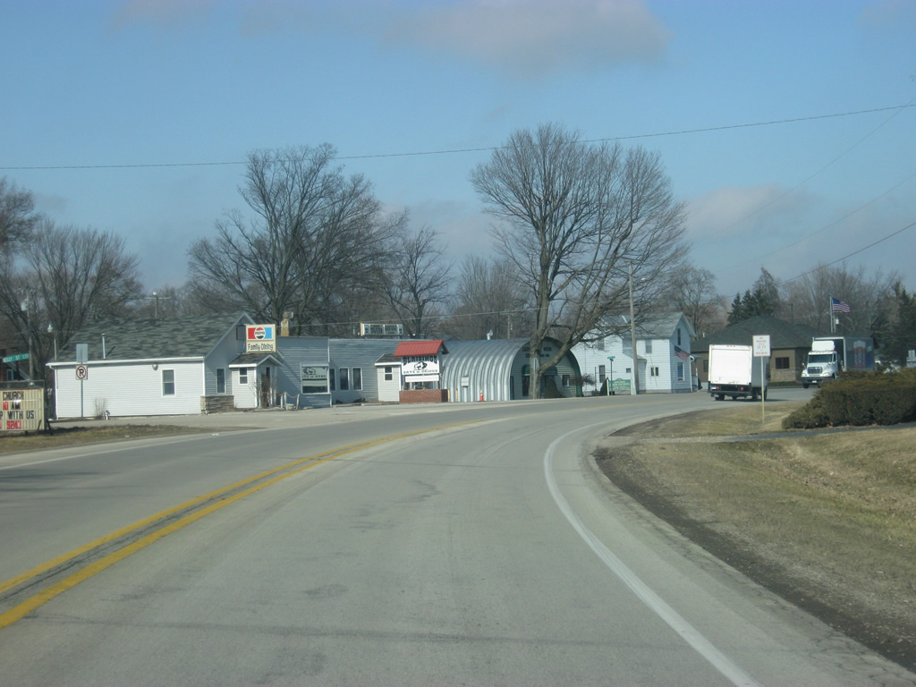
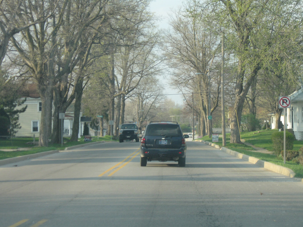
| North of U.S. 30, SR 9 (Main Street) follows the right lane as the left lane turns off onto Spartan Drive. Several commercial businesses are located within this area. 12/27/10 |
|
| North of Columbia City, SR 9 heads north through the Tri-Lakes area across northern Whitley County. 12/27/10 |
|
| SR 9 enters Noble County (population 47,536). 12/27/10 |
|
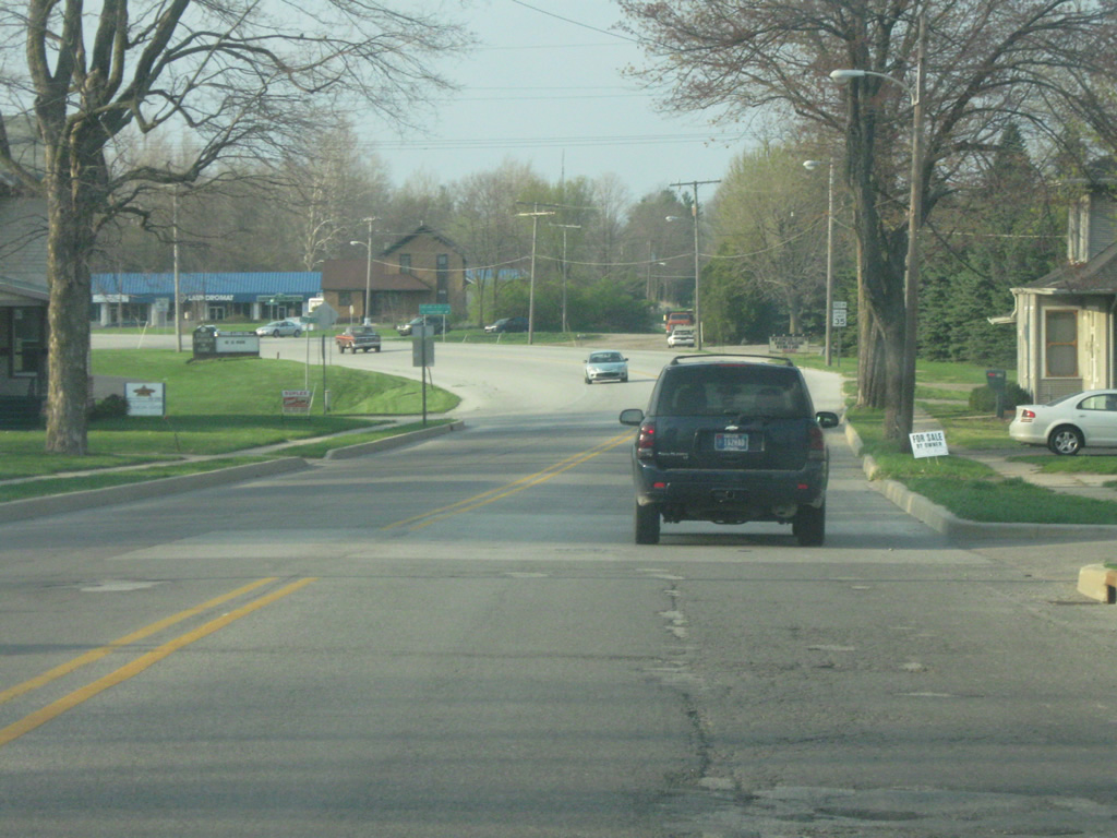
| The first few miles of SR 9 within Noble County remain with agricultural frontage as the state road angles toward the northeast. 12/27/10 |
|
| SR 9 enters the town of Merriam, which is located at the junction between SR 9 and U.S. 33. 12/27/10 |
|
| As SR 9 continues northeasterly, it approaches the intersection with U.S. 33. The 709 mile highway goes from the St. Joseph Valley Parkway (U.S. 20) northwest of Goshen through Ligonier, Churubusco, Fort Wayne and Decatur along its route toward Richmond, Virginia. 12/27/10 |
|
| A four-way stop marks the intersection between U.S. 33 and SR 9 in Merriam. U.S. 33 is the primary highway between the Fort Wayne and Michiana (South Bend-Mishawaka-Elkhart) metropolitan areas. 12/27/10 |
|
| North of U.S. 33, SR 9 is now eight miles from Albion and 29 miles from LaGrange. 12/27/10 |
|
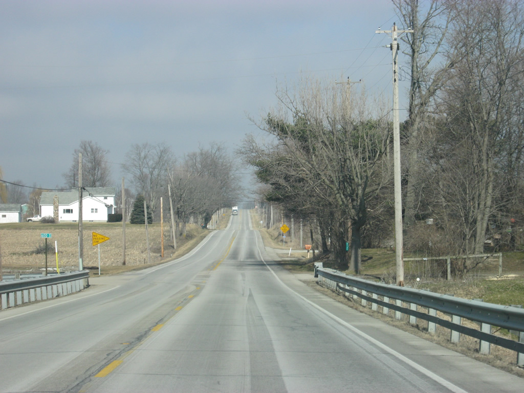
| A view of SR 9 as it angles back toward the north en route to Albion. 12/27/10 |
|
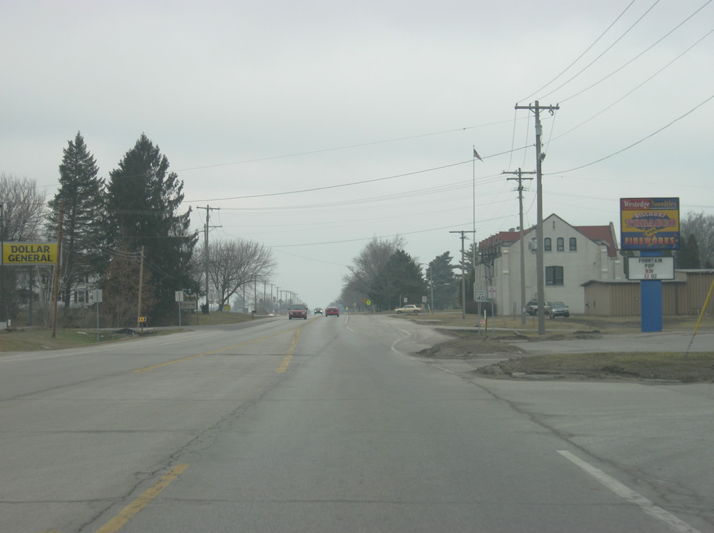
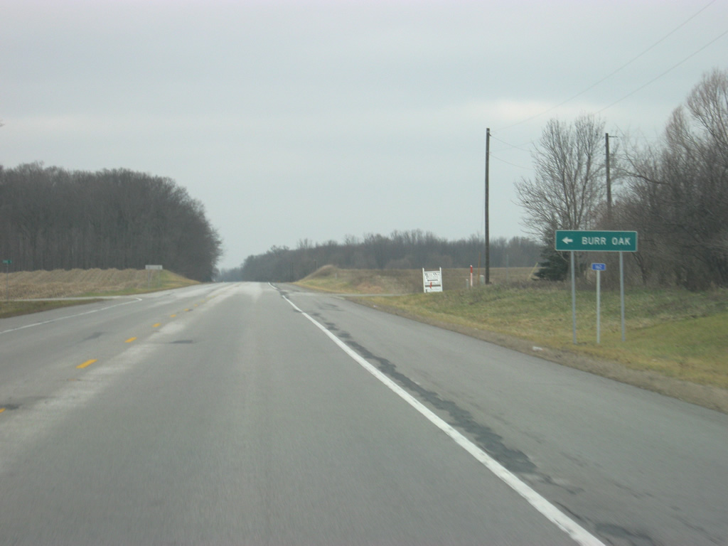
| The community of Burr Oak can be reached via County Road 200 South. 12/27/10 |
|
| County Road 75 South heads off toward the east to Chain O'Lakes State Park. 12/27/10 |
|
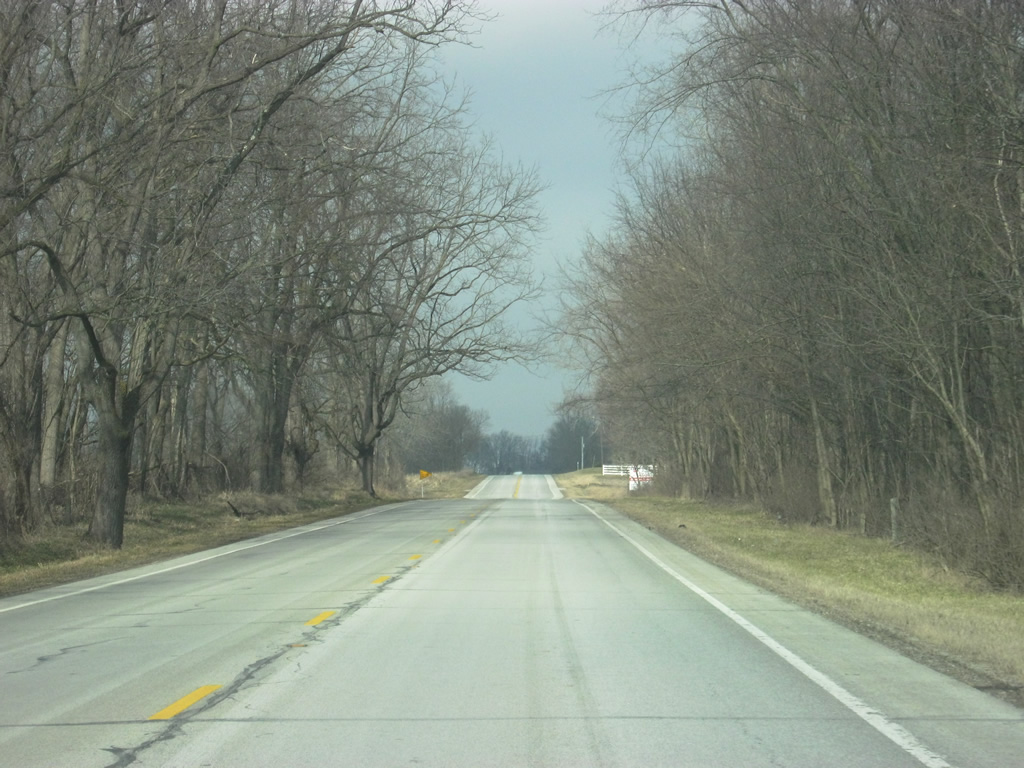
| Views of SR 9 to the north of Chain O'Lakes State Park toward the town of Albion. 12/27/10 |
|
| SR 9 enters the town of Albion (population 2,349). The Noble County courthouse can be seen looming in the distance toward the left. 12/27/10 |
|
| SR 9 in Albion is also called Orange Street as it makes its way toward the center of town, marked by the Noble County courthouse. 12/27/10 |
|
| SR 8 (Main Street) and SR 9 (Orange Street) cross paths within downtown Albion. SR 8 exists in two separate segments in the northern half of Indiana. The first goes from U.S. 231/SR 2 in Hebron east to SR 17 southwest of Plymouth. The second segment goes from Albion east through Auburn to the Ohio state line. The western segment goes for 42 miles and the eastern segment goes for 34 miles. 12/27/10 |
|
| Now at the junction with SR 9 (Orange Street) and SR 8 east (Main Street), which marks the center of Noble County. Downtown Albion consists of several buildings surrounding this intersection that includes the Noble County courthouse. 12/27/10 |
|
| Now looking at the Noble County courthouse, built in 1888. The intersection between SR 9 (Orange Street) and SR 8 east (Main Street) is at the southeast corner of the courthouse. 12/27/10 |
|
| We continue north on SR 9 (Orange Street) from Downtown Albion as it goes through some residential neighborhoods on the north side of town. 09/19/09 |
|
| SR 9 intersects Trail Ridge Road at a retail area before leaving the city of Albion and continuing north toward U.S. 6 in northern Noble County. 09/19/09 |
|
| SR 9 approaches the intersection with U.S. 6, which goes for 149 miles across Indiana from Munster at the Illinois border to the Ohio border at Butler, going through Westville, Walkerton, Lapaz, Bremen, Nappanee, Ligonier, Kendallville, and Waterloo. Nationally, U.S. 6 goes for 3,205 miles from Bishop, California to Provincetown, Massachusetts. SR 9 will follow U.S. 6 to the east for three miles. The road continues to the north as Baseline Road. 09/19/09 |
|
| A view of SR 9 north & U.S. 6 east of the junction with SR 9 south/Baseline Road. 09/19/09 |
|
| Reassurance shields for SR 9 and U.S. 6, which is given the name Grand Army of the Republic Highway. 09/19/09 |
|
| Now at the spot where SR 9 will break off toward the north through the towns of Rome City and Wolcottville en route to LaGrange. The LaGrange County seat lies 14 miles to the north of U.S. 6. 09/19/09 |
|
| Now north of U.S. 6, SR 9 is three miles from Rome City and 14 miles from LaGrange. 03/19/11 |
|
| A view of SR 9 as it heads north toward Rome City. 03/19/11 |
|
| Nearing Rome City, SR 9 meets County Road 900 North east. The Gene Stratton-Porter Cabin State Historic Site is located to the east along the shores of Lake Sylvan. The lakeshore home was home to one of Indiana's most well-known authors and nature photographers. 03/19/11 |
|
| North of the intersection with County Road 900 North, SR 9 enters the community of Rome City (population 1,615). 03/19/11 |
|
| SR 9 follows Kelly Street through Rome City, which is primarily a resort town based on Lake Sylvan. 03/19/11 |
|
| North of the main part of Rome City, SR 9 crosses a small inlet from Lake Sylvan. 03/19/11 |
|
| SR 9 passes by the earthen dam for Lake Sylvan as it ventures northeast out of Rome City. 03/19/11 |
|
| SR 9 passes underneath the overpass for Northport Road, which is connected to SR 9 via Kelly Street to the north at one-quarter cloverleaf interchange configuration. 03/19/11 |
|
| Less than a mile north of Rome City, SR 9 enters the town of Wolcottville, which lies on the county line between Noble and LaGrange Counties. SR 9 follows Main Street through Wolcottville. 03/19/11 |
|
| Views of SR 9 (Main Street) on the south side of Wolcottville. 03/19/11 |
|
| SR 9 (Main Street) approaches the intersection with County Line Road/County Road 800 South. Upon crossing the road, SR 9 enters its final county, LaGrange County (population 37,128). LaGrange County is part of Indiana's Amish Country. 03/19/11 |
|
| Looking at SR 9 (Main Street) on the north side of Wolcottville. 03/19/11 |
|
| North of Wolcottville, LaGrange is now nine miles away. Sturgis, Michigan makes it first appearance on a distance sign at 20 miles in distance. 03/19/11 |
|
| County Road 700 South crosses paths with SR 9 between the LaGrange County Parks and Indian Lakes to the west and Adams Lake to the east. 03/19/11 |
|
| SR 9 north at County Road 600 South as it continues to the north across southern LaGrange County. 03/19/11 |
|
| SR 9 begins to turn toward the northwest at the intersection with County Road 500 South, which heads west to Martin Lake. Straight ahead, a dirt road continues to the north as County Road 300 East. 03/19/11 |
|
| Now going northwest alongside an old railroad grade, SR 9 passes by the intersection with County Road 450 South, leading to Oliver Lake and Woodruff. 03/19/11 |
|
| Further north, SR 9 passes through the small town of Valentine. 03/19/11 |
|
| SR 9 continues in a northwest direction from the town of Valentine toward the town of LaGrange. 03/19/11 |
|
| Entering the LaGrange County seat of LaGrange (population 2,625) along SR 9 north. 03/19/11 |
|
| SR 9, called Detroit Street in LaGrange, turns back to the north and bisects town. 04/10/10 |
|
| SR 9 (Detroit Street) goes through a small commercial area on the south side of town. 04/10/10 |
|
| Ahead is the intersection between SR 9 (Detroit Street) and U.S. 20 (Central Avenue). U.S. 20 goes for 153.5 miles across Indiana from Hammond east through Gary, Michigan City, South Bend, Elkhart, LaGrange and Angola. Nationally, the highway travels for 3,365 miles from Newport, Oregon to Boston, Massachusetts. 04/10/10 |
|
| An SR 9 reassurance shield greets travelers north of the intersection with U.S. 20 (Central Avenue) as the highway heads into Downtown LaGrange. 04/10/10 |
|
| Traveling through Downtown LaGrange on SR 9 (Detroit Street) north ahead of Spring Street. A traffic light follows at the intersection with Michigan Street. The LaGrange County courthouse lies to the west of SR 9 (Detroit Street) at Michigan Street. 04/10/10 |
|
| A view of the LaGrange County Courthouse through the evening sky as it stands in the center of the square with SR 9 (Detroit Street) to the east. The courthouse, built in 1878, has served the citizens of LaGrange County ever since, and that includes the county's Amish population. Several poles to tie up horses are visible on the west side of the courthouse square. 04/10/10 |
|
| SR 9 (Detroit Street) continues north of the courthouse square in LaGrange as it heads through the north side neighborhoods of LaGrange. Pictured here is the scene near Steuben Street. 04/10/10 |
|
| SR 9 turns toward the northwest as it leaves the town of LaGrange. 04/10/10 |
|
| SR 9 at the intersection with County Road 55 East, leading to the LaGrange County 4-H Fairgrounds and Lakeland Junior and Senior High School. 04/10/10 |
|
| Leaving LaGrange, the last town on SR 9 in Indiana is Howe, at five miles away. Sturgis, Michigan is ten miles up the highway via M-66 to the north of the Indiana Toll Road. 04/10/10 |
|
| The familiar horse and buggy make their way south along SR 9 on the north side of LaGrange. 03/19/11 |
|
| Views of SR 9 as it continues due north toward the town of Howe and the state of Michigan. 03/19/11 |
|
| SR 9 approaches the town of Howe and the last state highway it will intersect in Indiana, SR 120. This state highway goes for 60 miles from Elkhart eastward across Elkhart, LaGrange and Steuben Counties through the towns of Howe, Orland and Fremont before ending at the Michigan state line in northeastern Steuben County. 03/19/11 |
|
| SR 9 enters the town of Howe, which is best known as the home to the Howe Military School, located along SR 9 north of town. 03/19/11 |
|
| Elkhart is located to the west along SR 120, along with the Amish town of Shipshewana (via SR 5). To the east is Orland. 03/19/11 |
|
| Now at the stoplight intersection with SR 9 and SR 120. 03/19/11 |
|
| Passing by the north side of Howe, the Howe Military School begins to the right of the highway past the fireworks store. 03/19/11 |
|
| North of Howe, Sturgis is five miles to the north. 03/19/11 |
|
| SR 9 passes the intersection with County Road 700 North, leading west to Twin Lakes and Cedar Lake to the east. 03/19/11 |
|
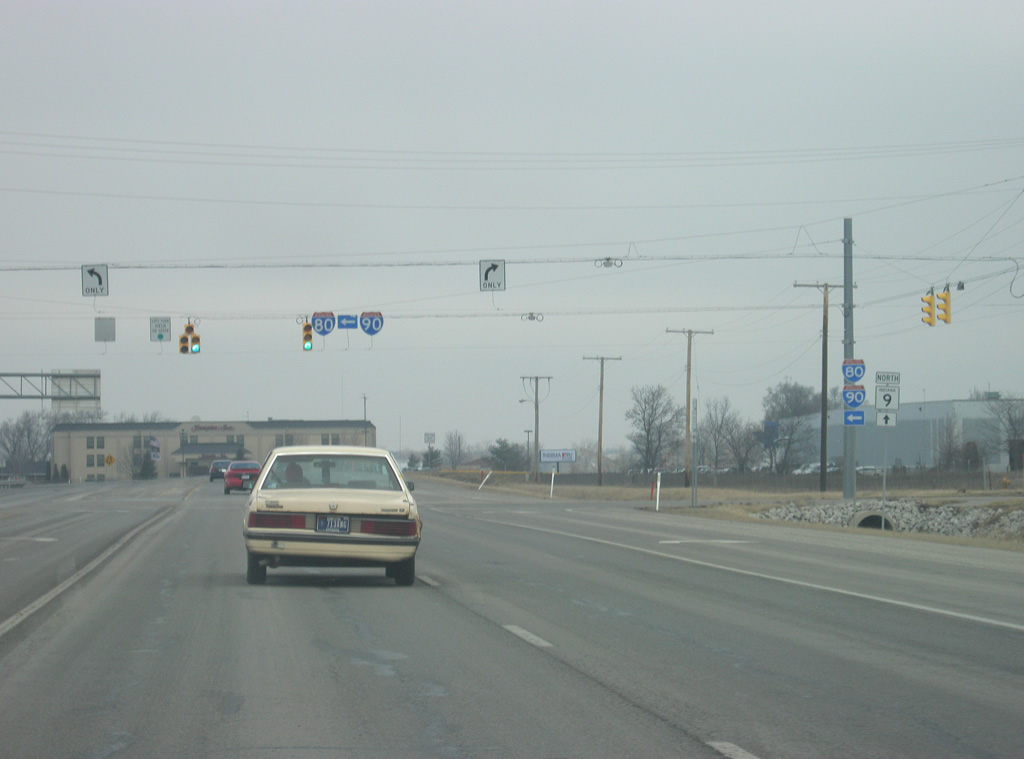
| Ahead, SR 9 comes to intersection with the two longest interstates in the United States, Interstate 80 and Interstate 90. The interstates are multiplexed as part of the 156 mile Indiana Toll Road. Interstates 80 and 90 head west to South Bend, Gary and Chicago and east to Toledo with their split at Elyria and Cleveland, Ohio. Nationally, both highway travel across the length of the country from San Francisco and Seattle to the west to New York City and Boston to the east. 03/19/11 |
|
| A stoplight intersection marks the point where traffic enters and leaves the Indiana Toll Road (Interstate 80/Interstate 90) via a set of toll booths. Traffic entering the Toll Road receives a ticket while those getting off pay at a booth based on their distance traveled along the toll road. 03/19/11 |
|
| A short distance north of the Indiana Toll Road (Interstate 80/Interstate 90), SR 9 finally reaches the Michigan state line and enters St. Joseph County, just south of the town of Sturgis. From here, SR 9 becomes M-66. 03/19/11 |
Page Updated 04-23-2012.


 east &