|
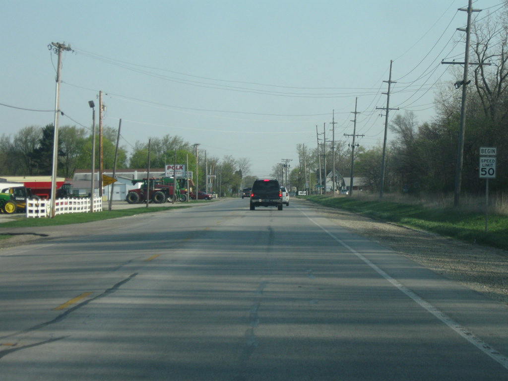
| North of U.S. 30, SR 15 (Detroit Street) becomes a two lane highway as it passes a few new shopping centers and the Warsaw Municipal Airport. 04/09/10 |
|
| Leesburg, in northern Kosciusko County is now three miles away and Goshen, the county seat of Elkhart County is 22 miles away. 04/09/10 |
|
| SR 15 as it approaches the town of Leesburg. 04/09/10 |
|
| SR 15 enters Leesburg, a small town of 500. 04/09/10 |
|
| SR 15 nears the intersection with Van Buren Street in Leesburg. Van Buren Street heads out toward the east to Tippecanoe Lake, the deepest lake in Indiana. 04/09/10 |
|
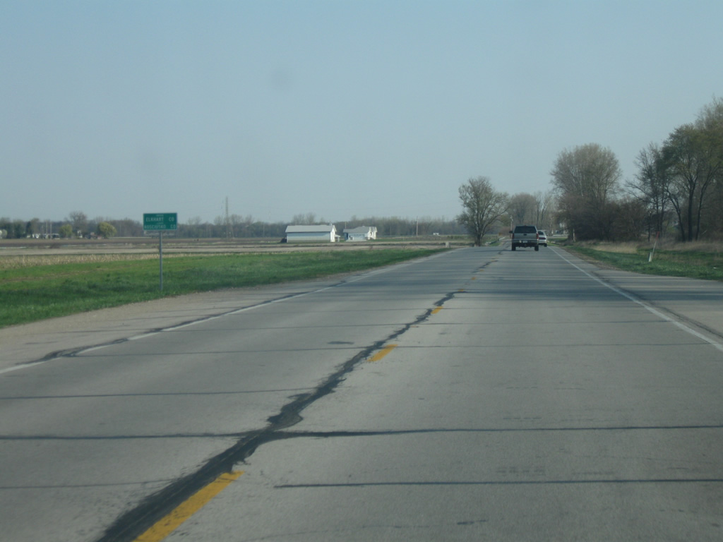
| North of Leesburg, SR 15 is five miles from Milford and 18 miles from Goshen. 04/09/10 |
|
| A view of SR 15 in rural northern Kosciusko County in between Leesburg and Milford. 04/09/10 |
|
| SR 15 at the intersection of County Road 900 North, with both Dewart Lake and Quaker Haven Camp to the east. 04/09/10 |
|
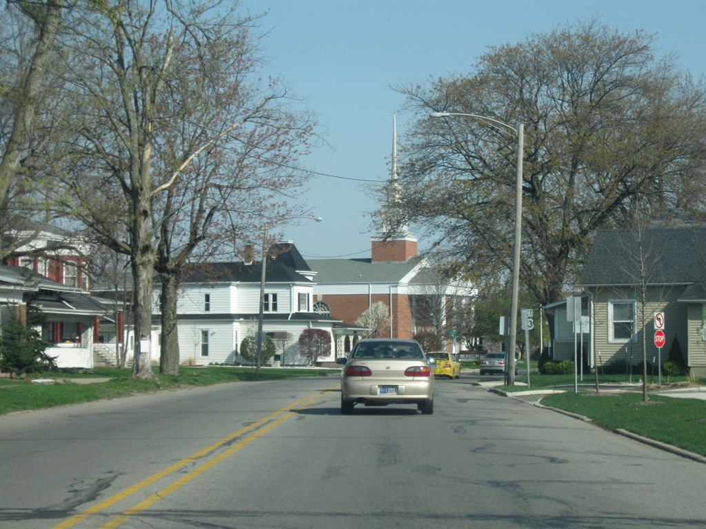
| Now entering the town of Milford (population 1,550). SR 15 in Milford is known as Higbee Street. 04/09/10 |
|
| SR 15 (Higbee Street) through Milford is rather quick as the heart of the community is a few blocks to the north. There is only one stoplight at Emeline Street. 04/09/10 |
|
| North of Milford, the small town of New Paris is six miles away with Goshen at 12 miles. 04/09/10 |
|
| SR 15 enters its final county, Elkhart County (population 197,559). Elkhart County is part of the larger Michiana metropolitan area that includes Goshen, Elkhart, and South Bend. Elkhart County is also a part of Indiana's Amish Country. 04/09/10 |
|
| Upon crossing the county line, SR 15 approaches its junction with U.S. 6. U.S. 6 is 3,205 mile highway that stretches from Bishop, California to Provincetown, Massachusetts. 04/09/10 |
|
| SR 15 at the junction with U.S. 6, which goes for 149 miles across Indiana from Munster at the Illinois border to the Ohio border Butler, going through Westville, Walkerton, Lapaz, Bremen, Nappanee, Ligonier, Kendallville, and Waterloo. The Amish Acres tourist attraction in Nappanee is less than ten miles to the west. North of U.S. 6, SR 15 continues for another few miles before entering Goshen. 04/09/10 |
|
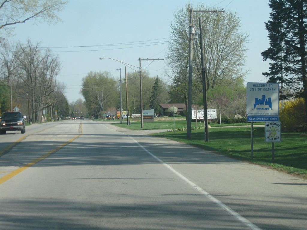
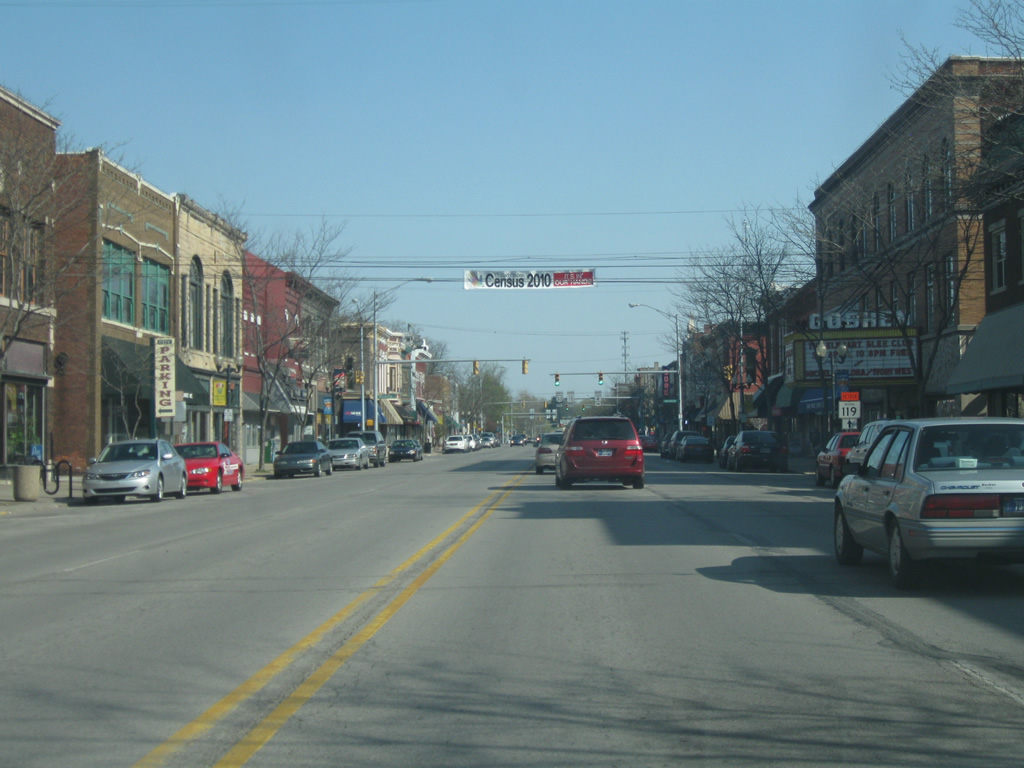
| SR 15 enters the city of Goshen (population 31,719), the Maple City and the county seat of Elkhart County. In Goshen, the road is known as Main Street. 04/09/10 |
|
| Views of SR 15 (Main Street) through the south side of Goshen. Goshen is a rather decent sized town and is the largest community SR 15 goes through after Marion. Goshen College is located to the east of SR 15 on the south side of town. 04/09/10 |
|
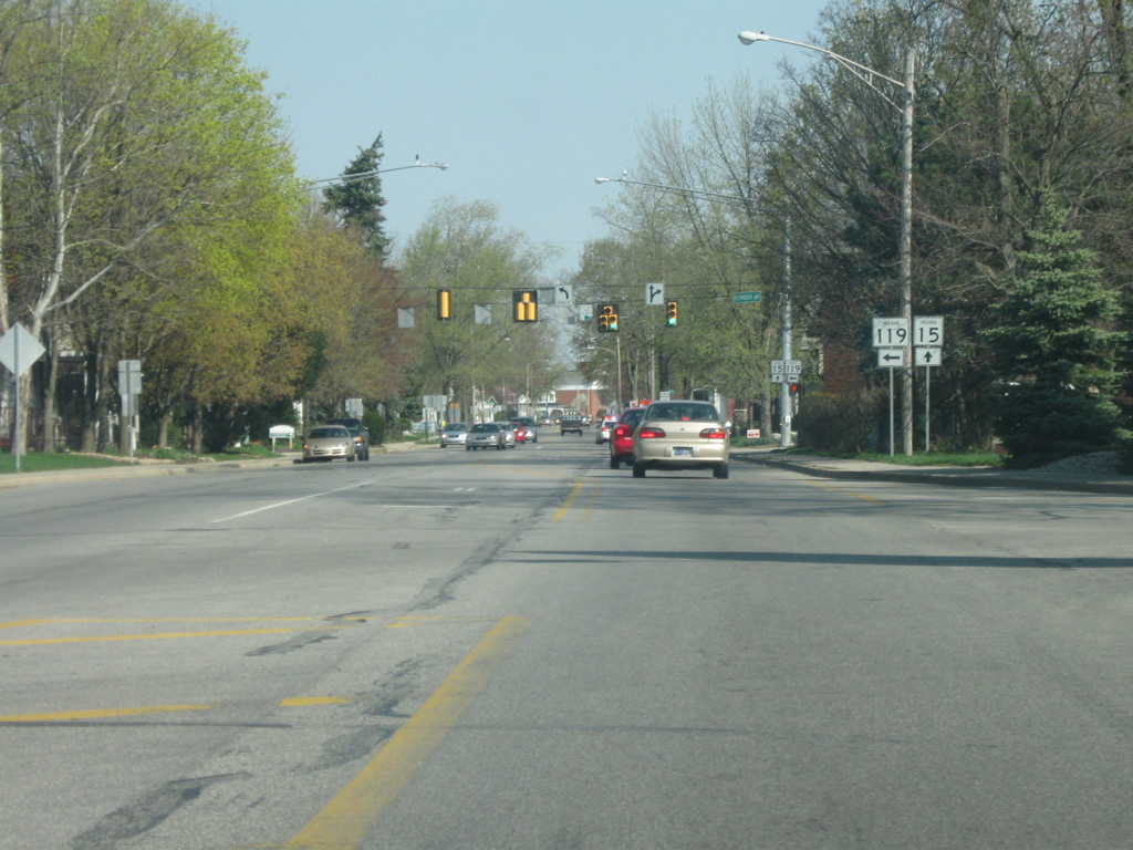
| SR 15 (Main Street) approaches the intersection of SR 119 west (Plymouth Avenue). SR 119 goes for 10 miles west of SR 15 to SR 19 north of Nappanee. The road itself continues toward Plymouth. 04/09/10 |
|
| North of the SR 119 West (Plymouth Avenue) intersection, SR 15 (Main Street) kinks northward as it approaches Downtown Goshen and U.S. 33 (Madison Street) south. 04/09/10 |
|
| SR 15 (Main Street) approaches the intersection with Madison Street which carries U.S. 33 East. The 709 mile highway goes from the St. Joseph Valley Parkway (U.S. 20) northwest of Goshen town to Ligonier, Churubusco, Fort Wayne and Decatur along its route toward Richmond, Virginia. 04/09/10 |
|
| North of Madison Street (U.S. 33 East), Main Street carries SR 15 and U.S. 33 West north through Downtown Goshen. 04/09/10 |
|
| Main Street (SR 15/U.S. 33 West) at the intersection with Lincoln Avenue, which carries SR 4 to the east for a short seven mile trek to SR 13 in eastern Elkhart County. SR 4 exists in three segments across Northern Indiana with this segment being the middle of the three. 04/09/10 |
|
| A view of the Elkhart County Courthouse, built in 1868. Main Street (SR 15/U.S. 33 West) forms the eastern side of the square for which the courthouse resides. 04/09/10 |
|
| A block north of the courthouse, both SR 15 and U.S. 33 take a left at Pike Street. U.S. 33 stays on Pike Street as it turns toward the northwest as a four lane highway into Elkhart. SR 15 follows Pike Street for one block to the west before going north on 3rd Street. Originally, SR 15 continued straight on Main Street, but a bridge was built along 3rd Street to cross a busy set of railroad tracks and SR 15 was rerouted onto 3rd Street. 04/09/10 |
|
| A view of north 3rd Street at the intersection with Pike Street (U.S. 33). SR 15 proceeds to the north on 3rd Street toward the railroad overpass. 04/09/10 |
|
| SR 15 now on the bridge over the railroad tracks to the north of Downtown Goshen. 04/09/10 |
|
| North of the railroad overpass, SR 15 curves back into its original alignment along Main Street. SR 15 is only referred to by its numbered designation on the drive out of Goshen. 04/09/10 |
|
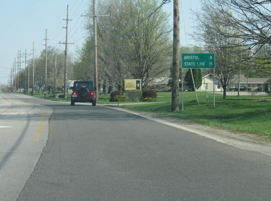
| Now leaving Goshen, SR 15 is eight miles from Bristol and 15 miles from the Michigan state line. Both U.S. 20 and the Indiana Toll Road (Interstate 80/Interstate 90) lie ahead before the Michigan line. 04/09/10 |
|
| Northbound reassurance marker of SR 15 posted after the access road to I-80/90 near Bristol. 11/04/11 |
|
| SR 15 transitions into M-103 at State Line Road. M-103 continues the highway 3.05 miles northward to U.S. 12 at Mottville. 11/04/11 |
Page Updated 04-24-2012.