|
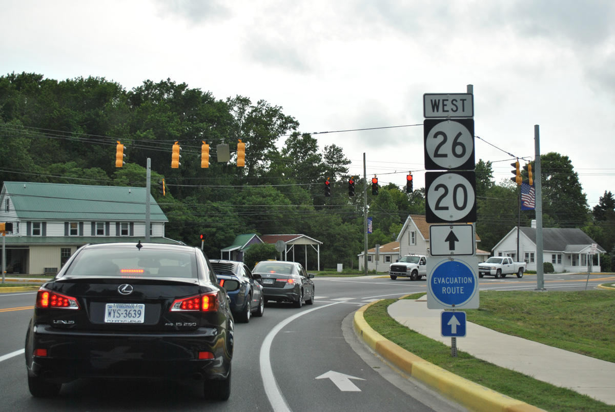
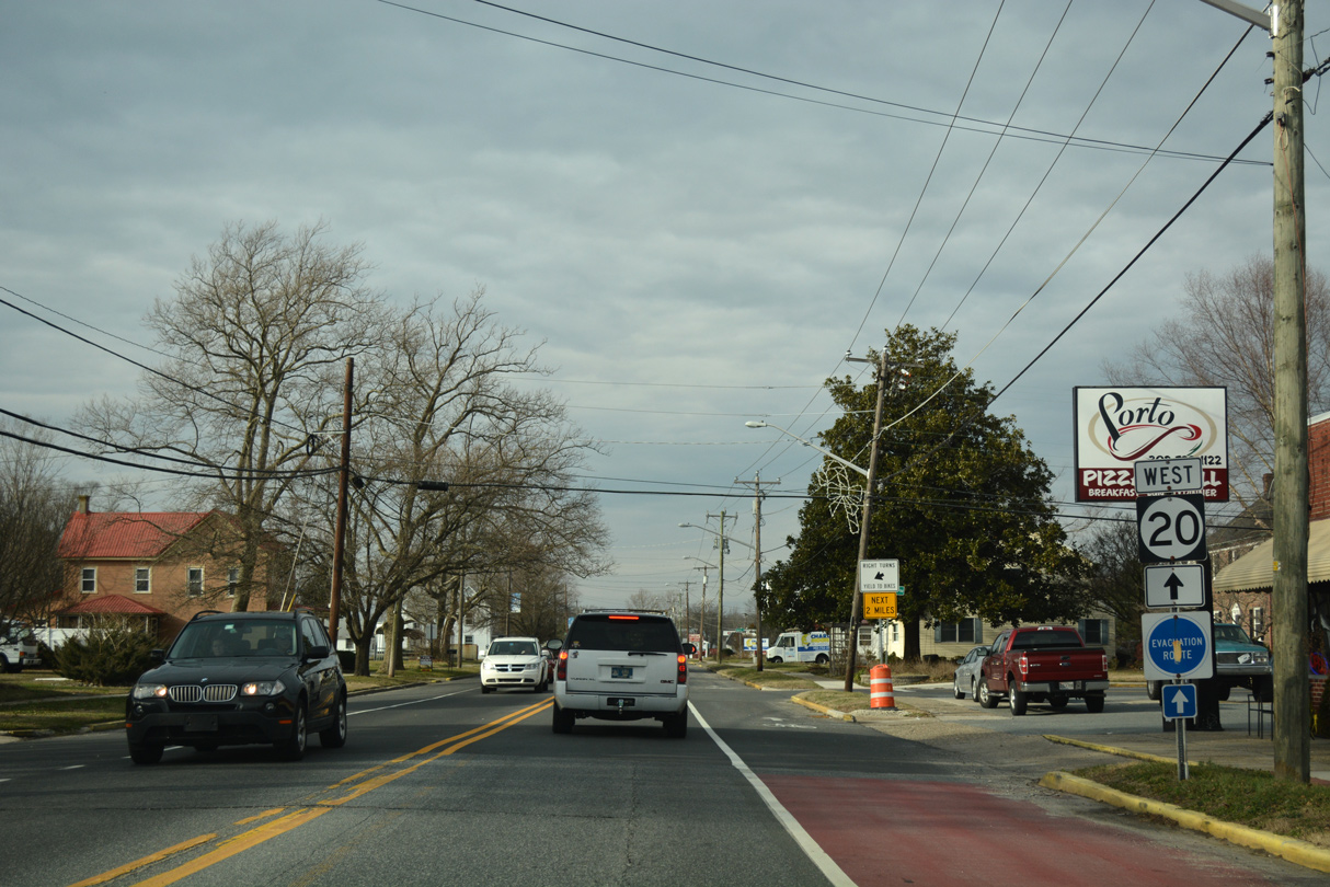
| The first confirming marker for SR 54 appears just west of SR 1 (Coastal Highway) in the town of Fenwick Island. Subsequent shield assemblies include SR 20, which overlaps with SR 54 for 4.0 miles west. 01/16/17 |
|
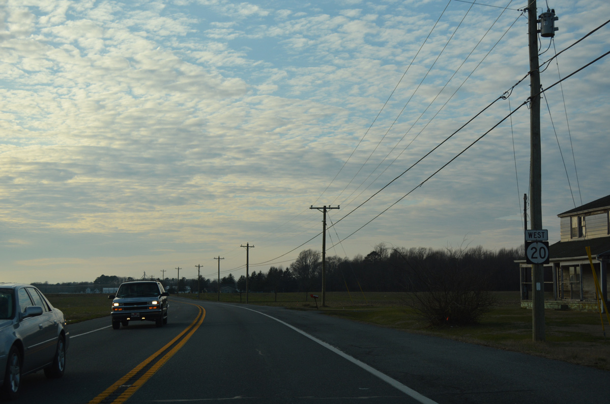
| Continuing northwest from SR 54 Alt (Bayard Road), motorists pass by this confirming marker for SR 20 on Zoar Church Road. 01/16/17 |
|
| Motorists along SR 20 (Zoar Church Road) enter the rural community of Roxana and intersect SR 17 (Roxana Road). A lone shield recognizes the north-south route linking Selbyville with Millville. 01/16/17 |
|
| Westbound at the traffic light with SR 17 (Roxana Road). SR 20 takes Pyle Center Road north from here. 01/16/17 |
|
| Speed limits increase again as SR 20 (Pyle Center Road) resumes a rural course northwest to Dagsboro. 01/16/17 |
|
| An S-curve shifts SR 20 west across Deep Hole Branch between Hickman Road and Omar. 01/16/17 |
|
| A four-way stop sign governs movements between SR 20 and Omar Road within the settlement of Omar. Omar Road heads west to Frankford and east to Clarksville. 01/16/17 |
|
| A distance sign references Dagsboro at two miles ahead as SR 20 (Armory Road) crosses Vines Creek at Omar. 01/16/17 |
|
| Approaching SR 26 (Vines Creek Road) on SR 20 (Armory Road) west. Armory Road is named after the Delaware Army National Guard complex located just south of Dagsboro. 01/16/17 |
|
| Drivers along SR 20 (Armory Road) cross the Dagsboro town line by Indian River High School and ahead of the Prince George Acres neighborhood. Founded in 1747, Dagsboro was home to 800 residents as of 2010. 01/16/17 |
|
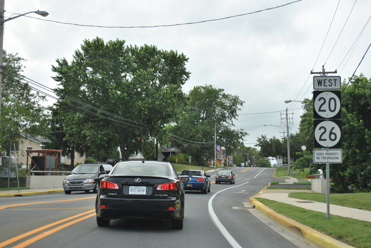
| SR 26 stems west from SR 1 (Coastal Highway) in Bethany Beach to Ocean View, Millview, Clarksville. SR 20 joins the state route for a 0.53 mile overlap west through Dagsboro. 01/16/17 |
|
| SR 20/26 curve northward from Vines Creek Road onto Main Street toward the Dagsboro town center. Main Street south becomes Clayton Avenue through the town of Frankford. 06/18/12 |
|
| Main Street (SR 20/26) crosses Pepper Creek just north of Vines Creek Road. 06/18/12 |
|
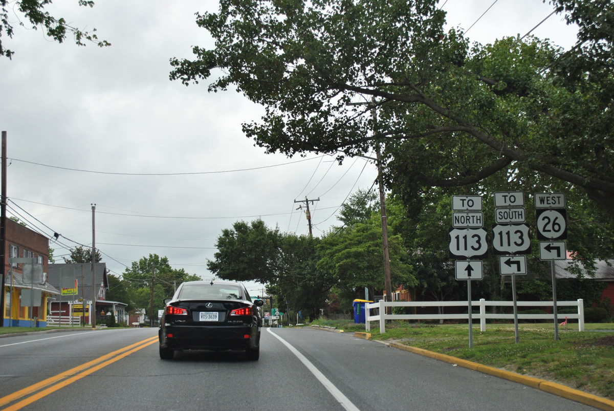
| A short distance further, SR 26 splits with SR 20 west for Clayton Street and U.S. 113 while SR 20 continues north to eventually overlap with U.S. 113 through Millsboro. 06/18/12 |
|
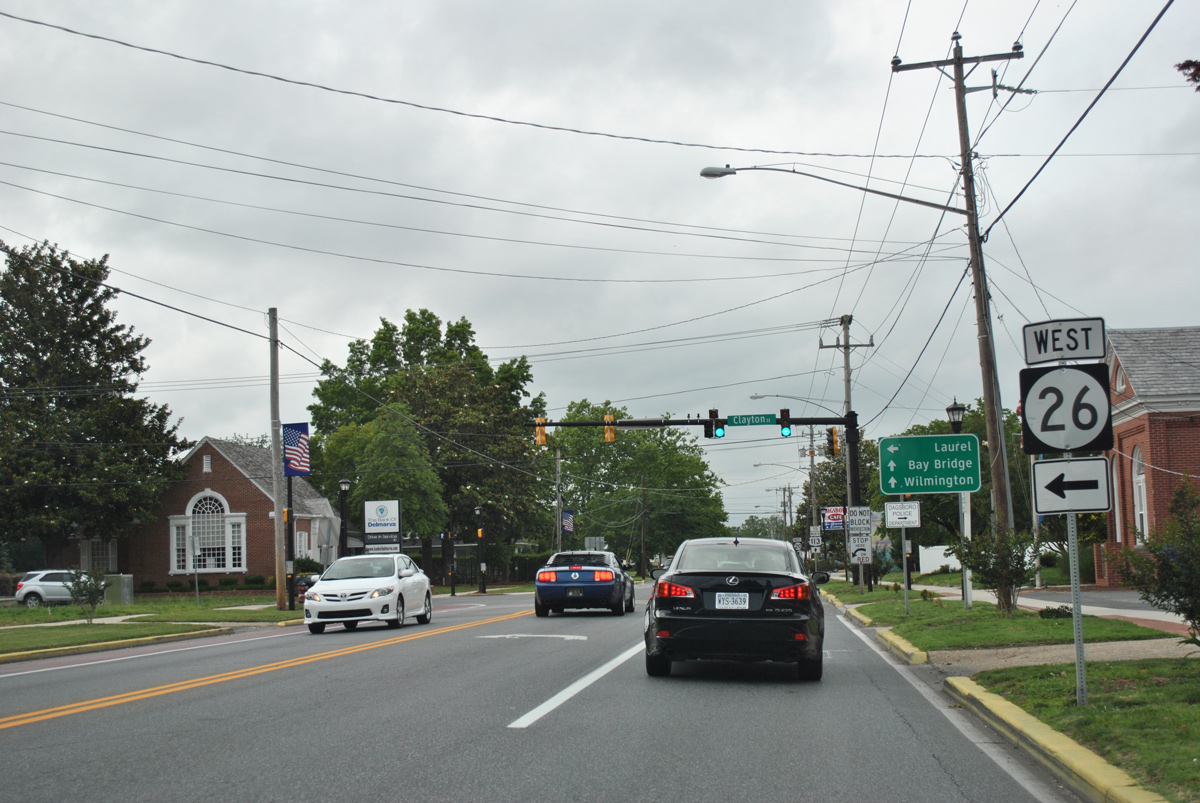
| SR 26 extends west from Dagsboro to Millsboro Highway (old SR 30) at Shaft Ox Corner. Interests to Laurel are directed to follow Millsboro Highway north to SR 24 west from there.
Travelers headed to long distance points north and west are directed to remain on SR 20 west to U.S. 113. 06/18/12 |
|
| A trailblazer directs motorists to stay on SR 20 west directly to its merge with U.S. 113 north into Millsboro. The state route was designated along this stretch in July 1991. 01/16/17 |
|
| Speed limits remain at 35 miles per hour or lower as SR 20 follows Main Street north through Dagsboro for another three quarters of a mile. 01/16/17 |
|
| SR 20 lines Dagsboro Road northwest by a mix of agricultural and forest toward U.S. 113. The state route makes a 90 degree turn to intersect U.S. 113 (Dupont Boulevard) across from Handy Road. 06/18/12 |
|
| U.S. 113 north / SR 20 west combine in an industrial area just south of the Millsboro town limits. U.S. 113 south leads back to Dagsboro and Frankford while the route north combines with SR 20 by several big box stores and other retail along a 3.12 mile overlap. 06/18/12 |
|
| A confirming marker for SR 20 west stands to the immediate west of U.S. 113 (Dupont Boulevard) along Hardscrabble Road. 01/16/17 |
|
| SR 20 quickly becomes rural west of Sheep Pen Road. The state route parallels Sheep Pen Ditch to the south. 01/16/17 |
|
| Arcing north of the Meadow Drive subdivision, SR 20 (Hardscrabble Road) passes through northern reaches of the Millsboro town limits to Cross Keys Road. 01/16/17 |
|
| A reassurance marker appears after SR 20 intersects Governor Stockley Road north and Cross Keys Road south. 01/16/17 |
|
| Hardscrabble Road curves southwest through Workmans Corners and north of Midlands Wildlife Area before turning back to the northwest at Shiloh Church Road. 01/16/17 |
|
| Ashketum Branch Road meanders west from Governor Stockley Road and the settlement of Shortly to end at SR 20 near Jones Crossroads. 01/16/17 |
|
| Trap Pond Road crosses paths with SR 20 (Hardscrabble Road) at Jones Crossroads. 01/16/17 |
|
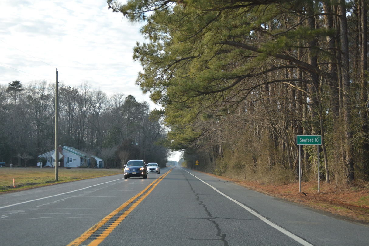
| Ten miles separate Jones Crossroads from Seaford along SR 20 west. 01/16/17 |
|
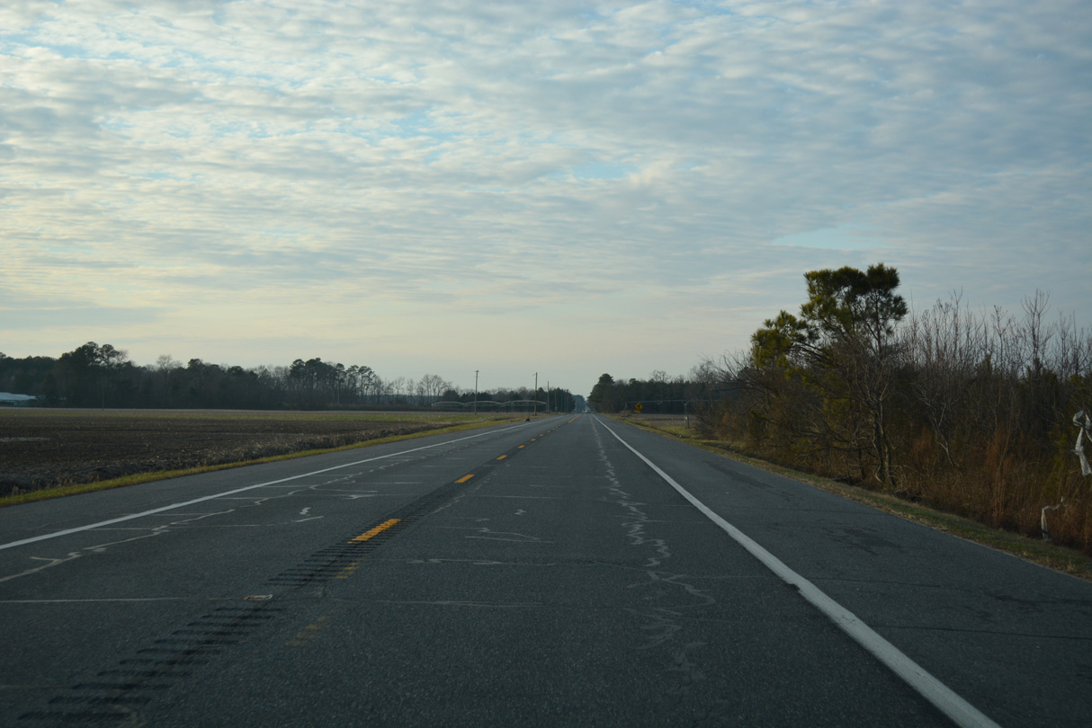
| The state route bee lines northwest by the settlement of Hardscrabble through a mix of farm and forest land. 01/16/17 |
|
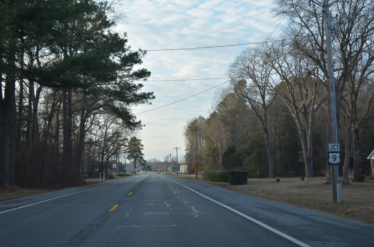
| Hardscrabble Road leads SR 20 west to U.S. 9 (County Seat Highway) at Concord Road. 01/16/17 |
|
| U.S. 9 (County Seat Highway) ends 5.5 miles to the southwest at U.S. 13 in Laurel. Traveling northeast, U.S. 9 reaches Georgetown and U.S. 113 in 6.4 miles. 01/16/17 |
|
| No additional shields are posted for U.S. 9 along SR 20 at the traffic light with County Seat Highway. U.S. 9 was established in the First State in 1974 in place of SR 28 west from Georgetown and SR 18 north from there to Lewes. 01/16/17 |
|
| The next confirming marker for SR 20 does not appear along Concord Road until after the intersection with Fleetwood Pond Road north. 01/16/17 |
|
| SR 20 (Concord Road) makes a sweeping curve to Concord. A number of homes line the state route north of the Cool Branch subdivision. 01/16/17 |
|
| Church Road loops north from SR 20 as westbound drivers enter the community of Concord. 01/16/17 |
|
| Concord Road turns west and parallels Deep Creek to U.S. 13. U.S. 13 (Sussex Highway) runs along the east side of both Blades and adjacent Seaford south to Laurel and north to Bridgeville. 01/16/17 |
|
| SR 20 uses U.S. 13 (Sussex Highway) north and Norman Eskridge Highway west to bypass Blades and Downtown Seaford. 01/16/17 |
|
| Concord Road extends west from U.S. 13 as the historic alignment of SR 20 to High Street and Market Street in the town of Blades. 01/16/17 |
|
| SR 20 transitions from Norman Eskridge Highway onto Stein Highway at the angled intersection with Bridgeville Highway (old U.S. 13 Alternate) north and Front Street south in Seaford. 01/15/17 |
|
| U.S. 13 Alternate followed Market Street north through the town of Blades to cross the Nanticoke River. It joined Front Street from there, with Market Street turning northwest to intersect SR 20 (Stein Highway) south of Seaford High School. 01/15/17 |
|
| Signs for SR 20 occasionally reference it as a truck route through Seaford. One such assembly precedes the Norfolk Southern Railroad underpass at Pine Street. 01/15/17 |
|
| Separate bridges carry the two directions f SR 20 (Stein Highway) over the NS Railroad in Seaford. Westbound traffic uses a more modern span built in 1985, while motorists on eastbound travel 2.6 feet lower on a 1940-span.1 01/15/17 |
|
| SR 20 expands into a five lane commercial arterial west from the NS Railroad bridge. Ivy Drive connects Stein Highway from the Woodside Manor community to the north opposite Shipley Street south into the Seaford street grid at the ensuing signal. 01/15/17 |
|
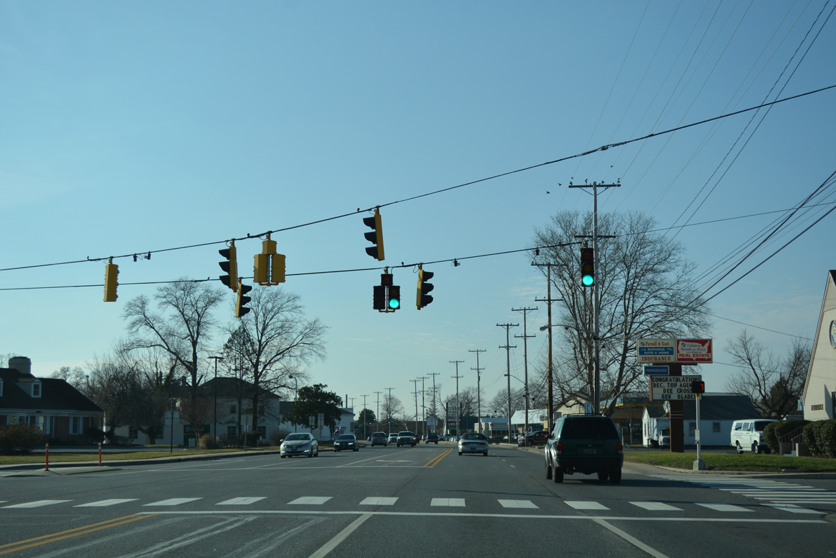
| The succeeding westbound signal operates at Nylon Boulevard. Nylon Boulevard comprises a tree lined boulevard south to Hooper's Landing Golf Course. 01/15/17 |
|
| Atlanta Road stems northwest from SR 20 (Stein Highway) to rural areas outside Seaford and the community of Atlanta at SR 18 (Federalsburg Road). 01/15/17 |
|
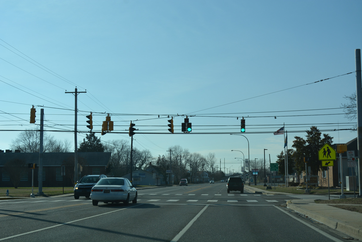
| Drivers along SR 20 (Stein Highway) continue past Nylon Capital Shopping Center to intersect Sussex Avenue at the last traffic light in Seaford. 01/15/17 |
|
| Beyond Sussex Avenue, SR 20 reduces to two lanes for the four mile drive to Reliance. Federalsburg, Maryland lies ten miles ahead via MD 392. 01/15/17 |
|
| Leaving the Seaford city limits, SR 20 (Stein Highway) crosses Chapel Branch and intersects Chapel Branch Road ahead of this reassurance marker. 01/15/17 |
|
| Woodpecker Road branches southwest from Stein Highway in an industrial area just outside Seaford. Connections with Woodland Ferry Road lead motorists southeast through Nanticoke Wildlife Area and the Woodland Ferry across the Nanticoke River. 01/15/17 |
|
| Woodpecker Road south to Line Road connects Seaford with Galestown, Maryland. 01/15/17 |
|
| A reassurance shield assembly for SR 20 stands between Woodpecker Road south and Neals School Road along Stein Highway west. 01/15/17 |
|
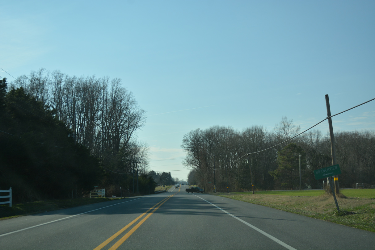
| SR 20 plies across open farm land from Neals School Road to the Branchview and Woodland Station communities. 01/15/17 |
|
| Westbound SR 20 (Stein Highway) at Brookside Drive south to Branchview and Shufelt Road north. The rural highway crosses Horse Pen Branch ahead. 01/15/17 |
|
| Stein Highway parallels Green Briar Branch west through more open farm land. 01/15/17 |
|
| Oak Grove Road ventures north from SR 20 to the settlement of Oak Grove and along the Maryland state line to Neals School Road. 01/15/17 |
|
| SR 20 west culminates at the community of Reliance on the Maryland state line. Woodland Ferry Road ties into the state route from the southeast. 01/15/17 |
|
| MD 392 (Finchville Reliance Road) takes over from the end of SR 20 at Reliance. MD 577 (Reliance Road) branches northwest from MD 392 along the Caroline and Dorchester County line to MD 313 at Allens Corner. 01/15/17 |
Page Updated 02-03-2017.


 West
West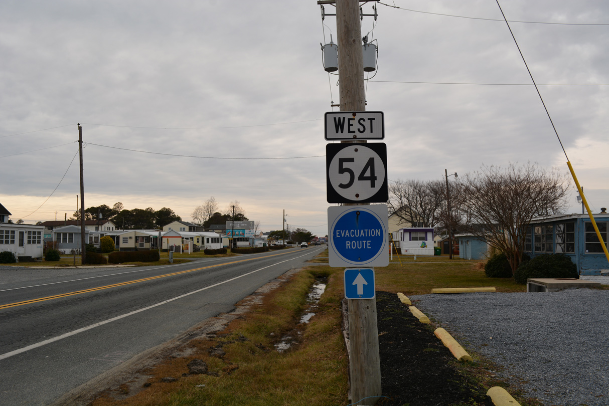


 West
West