|
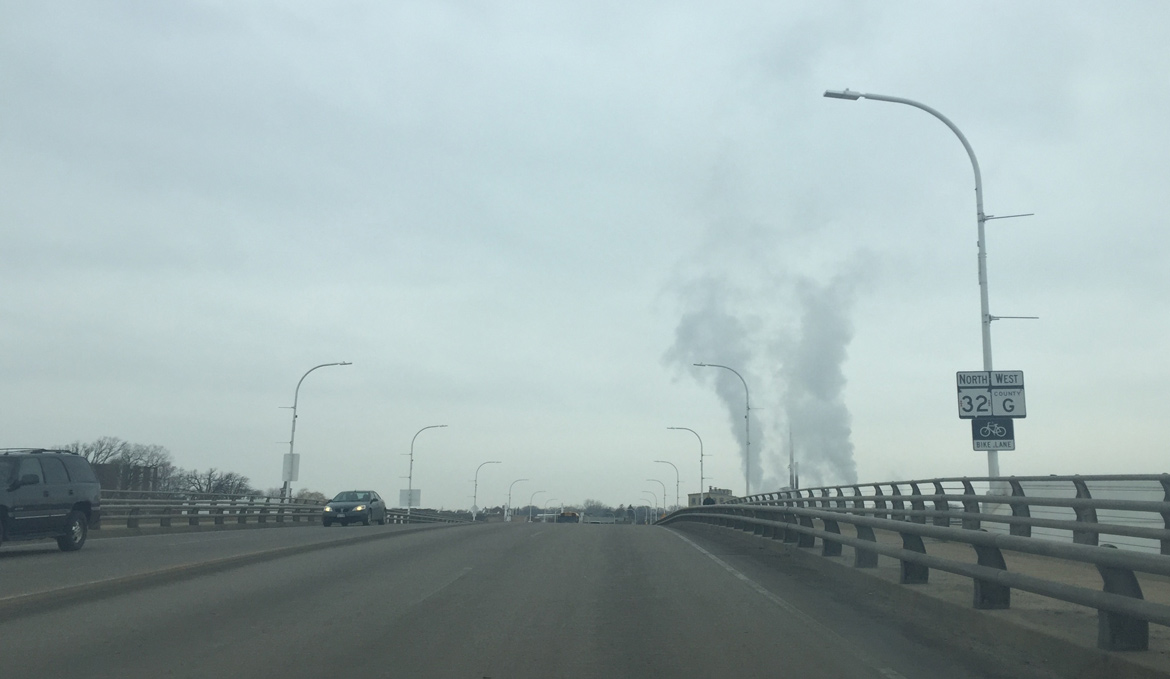
| Wis 32/County G cross the Fox River on the Claude Allouez Bridge. 02/23/16 |
|
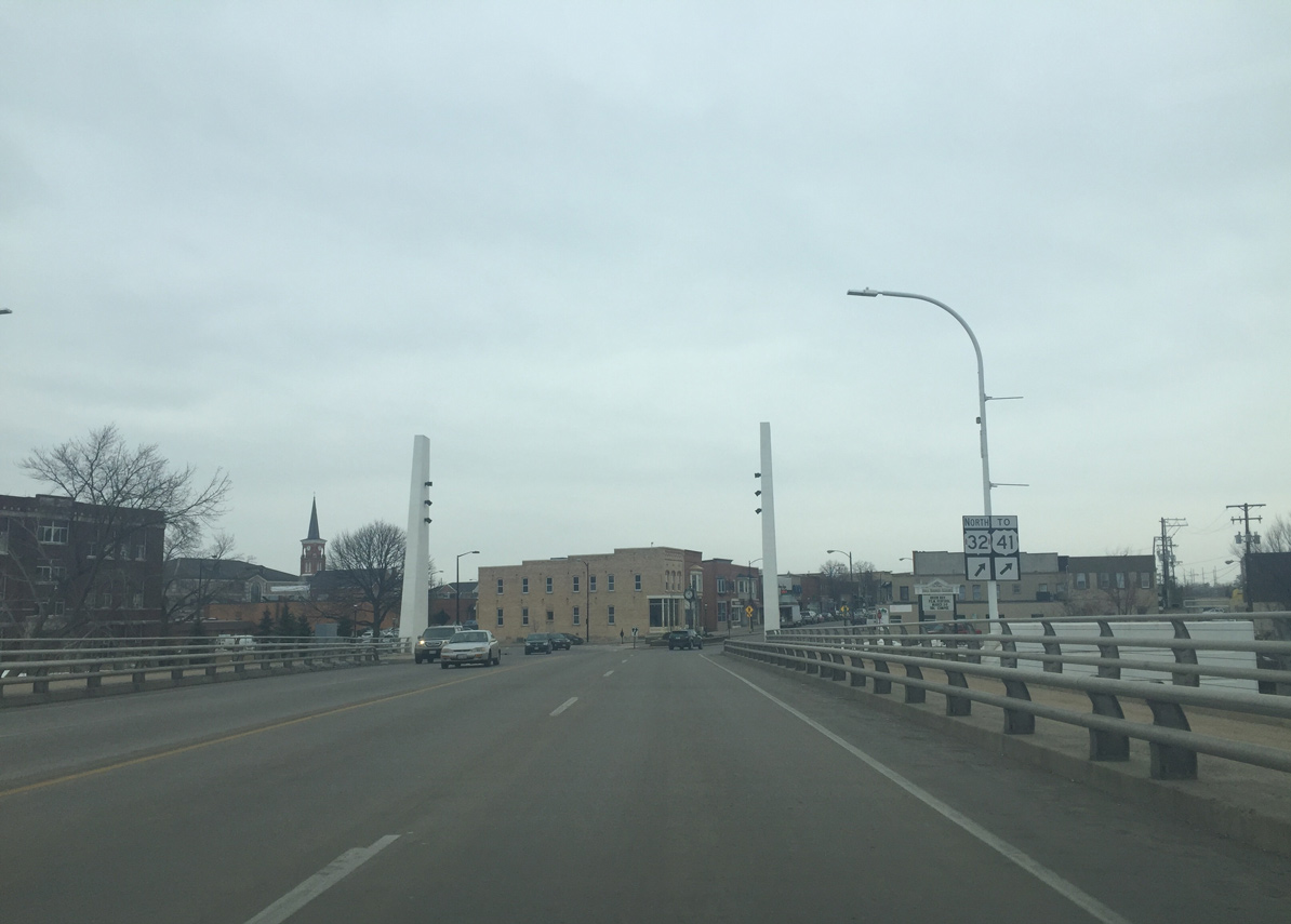
| Wis 32 veers to the right from the Claude Allouez Bridge onto Main Avenue. Eastbound traffic uses Reid Street to the south along a three-block couplet. 02/23/16 |
|
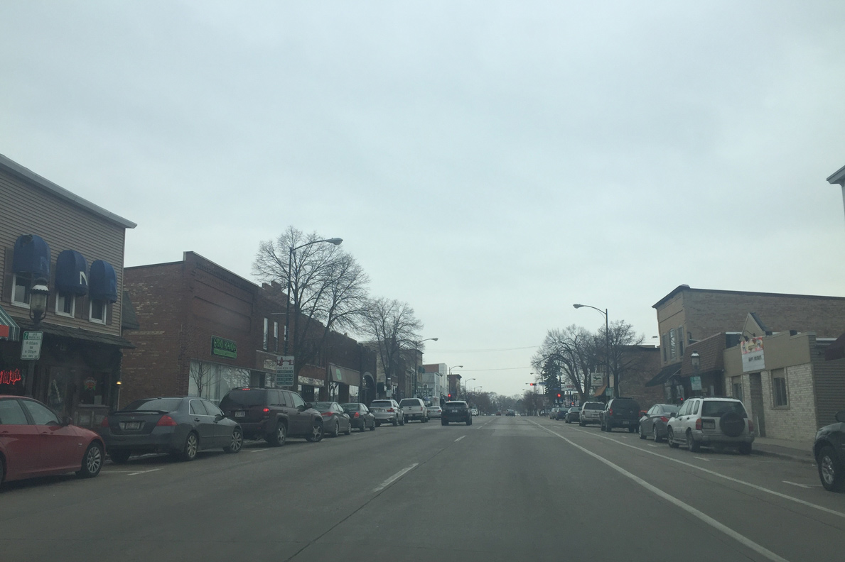
| Drivers continue west along Main Avenue through Downtown West De Pere. West De Pere was once a its own city but merged with De Pere in 1890. The school districts still remain separate to this day. 02/23/16 |
|
| CTH-EE begins at the intersection of STH-32 (Main Avenue) and 5th Street in West De Pere. County EE takes Grant Street west from De Pere into suburban areas of Brown County beyond Interstate 41. 02/23/16 |
|
| Wis 32 (Main Avenue) becomes two way again as it passes under the CN Railroad tracks after 6th Street. 02/23/16 |
|
| Approaching the northern turn of STH-32 onto 8th Street. Main Avenue (CTH-G) extends west a short distance to a dumbbell interchange with Interstate 41. 02/23/16 |
|
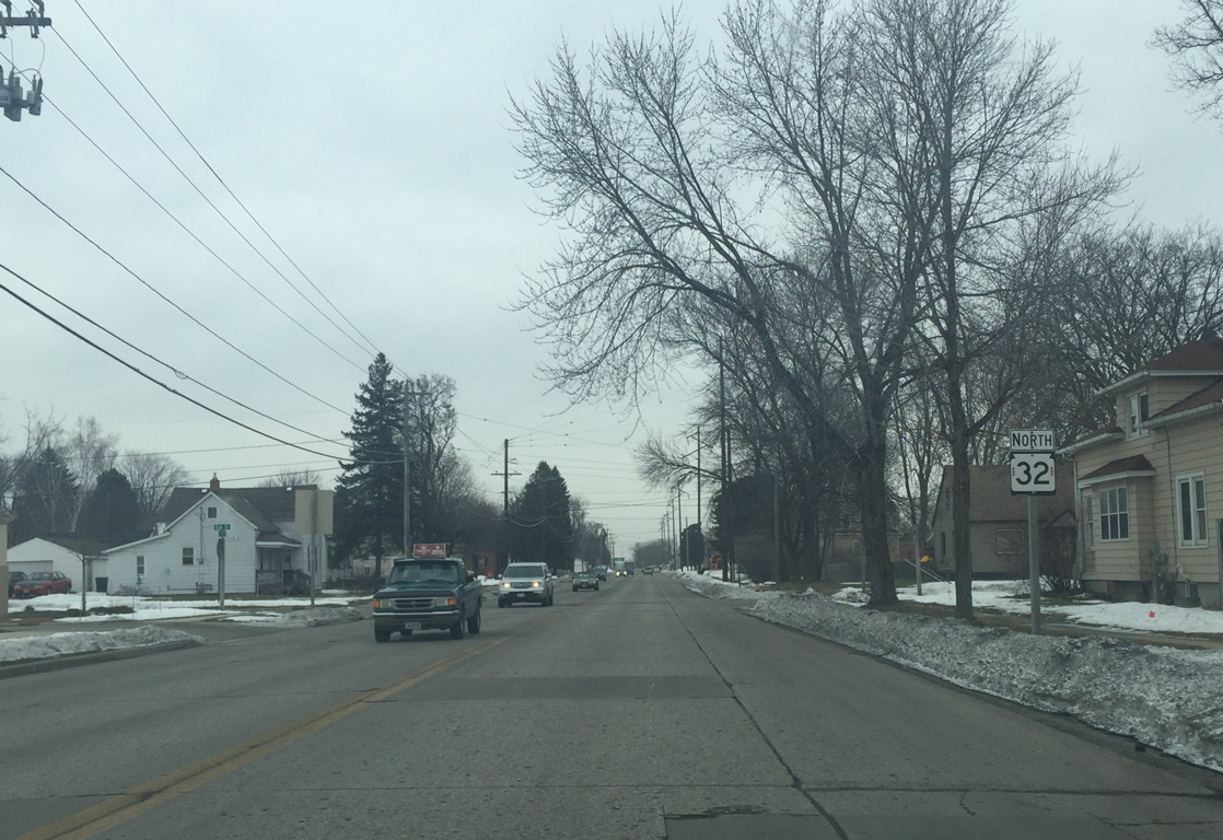
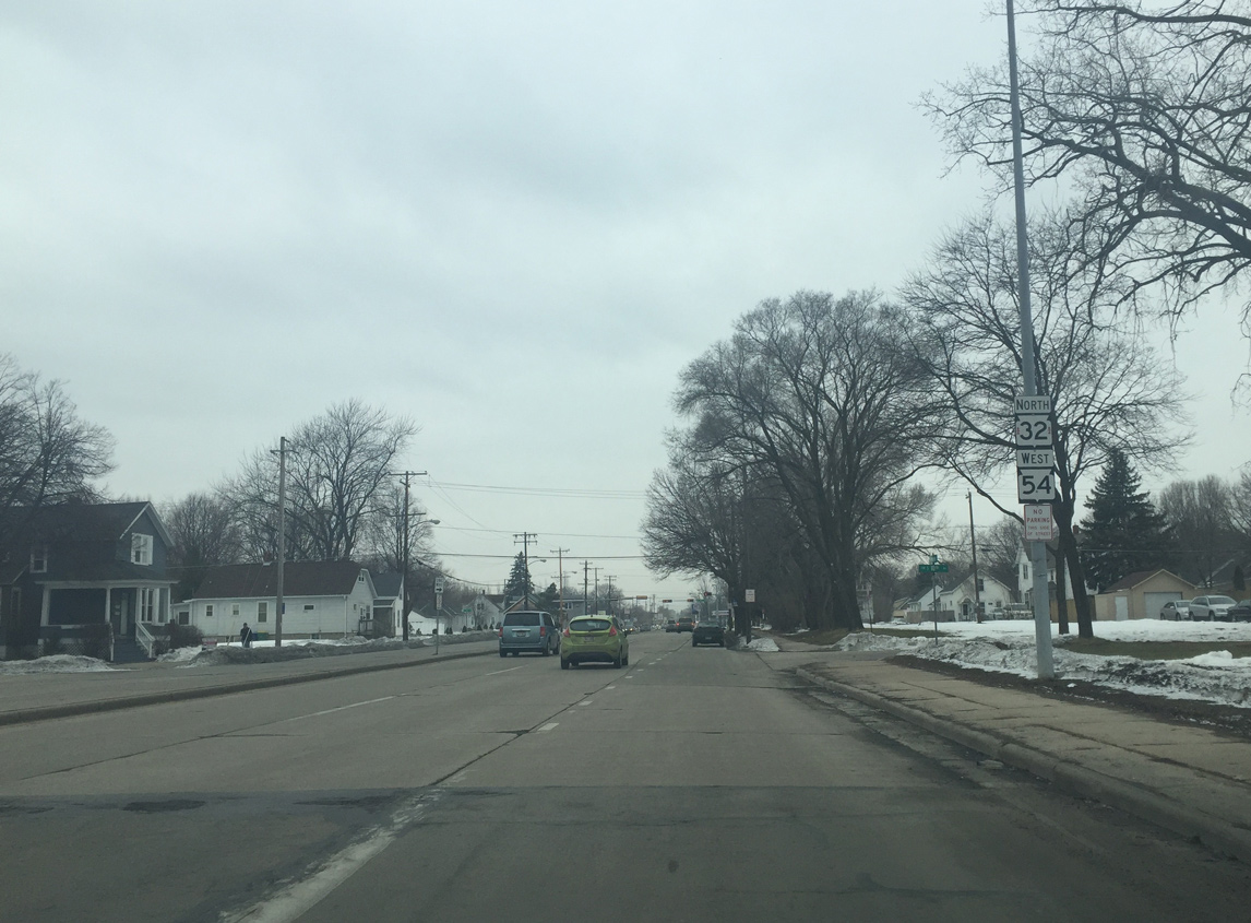
| North 8th Street takes STH-32 eight blocks north from CTH-G (Main Avenue) to Ashland Avenue. South 8th Street serves local traffic to Reid Street. 02/23/16 |
|
| The first reassurance sign for Wis 32 on Eighth Street quickly appears beyond Main Avenue. 02/23/16 |
|
| 8th Street ends at the roundabout with the I-41 south ramp, Glory Road and Ashland Avenue. According to WISDOT, the ramps are designated as Business 41. Business U.S. 41 was decommissioned in 2004, but the spur needed a reference, so it was kept as Business 41 on paper. 02/23/16 |
|
| The movement of Wis 32 north bypasses the roundabout onto Ashland Avenue. Before the roundabout was built, Wis 32 continued straight north while the spur from I-41 merged from the left. 02/23/16 |
|
| Wis 32 continues north on Ashland Avenue. The expressway style roadway was US 41 until the early 1970s. 02/23/16 |
|
| Spanning Ashwaubenon Creek, STH-32 (Ashland Avenue) formerly enters the village of Ashwaubenon. 02/23/16 |
|
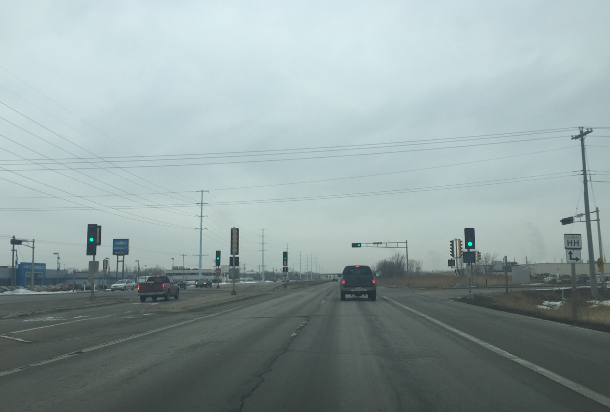
| A number of industrial businesses occupy areas west and east of Ashland Avenue through eastern Ashwaubenon. A traffic light joins Wis 32 with Hansen Road next, which doubles as County HH east to industrial areas along the Fox River. 02/23/16 |
|
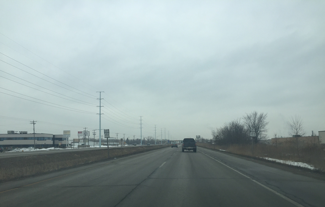
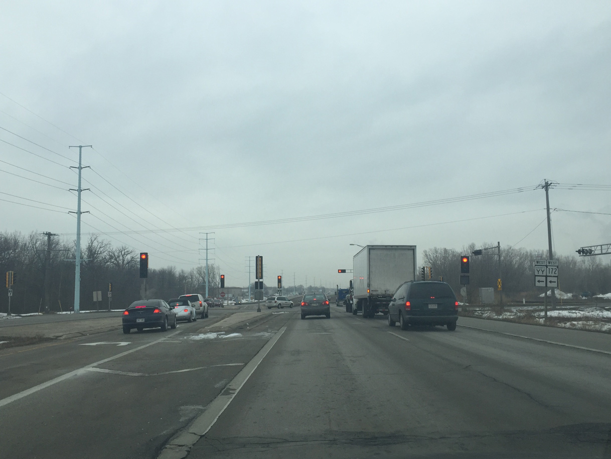
| The forthcoming Wis 172 freeway bisects Ashwaubenon from Interstate 41 east across the Fox River. Wis 32 (Ashland Avenue). passes below the limited access highway without direct access. 02/23/16 |
|
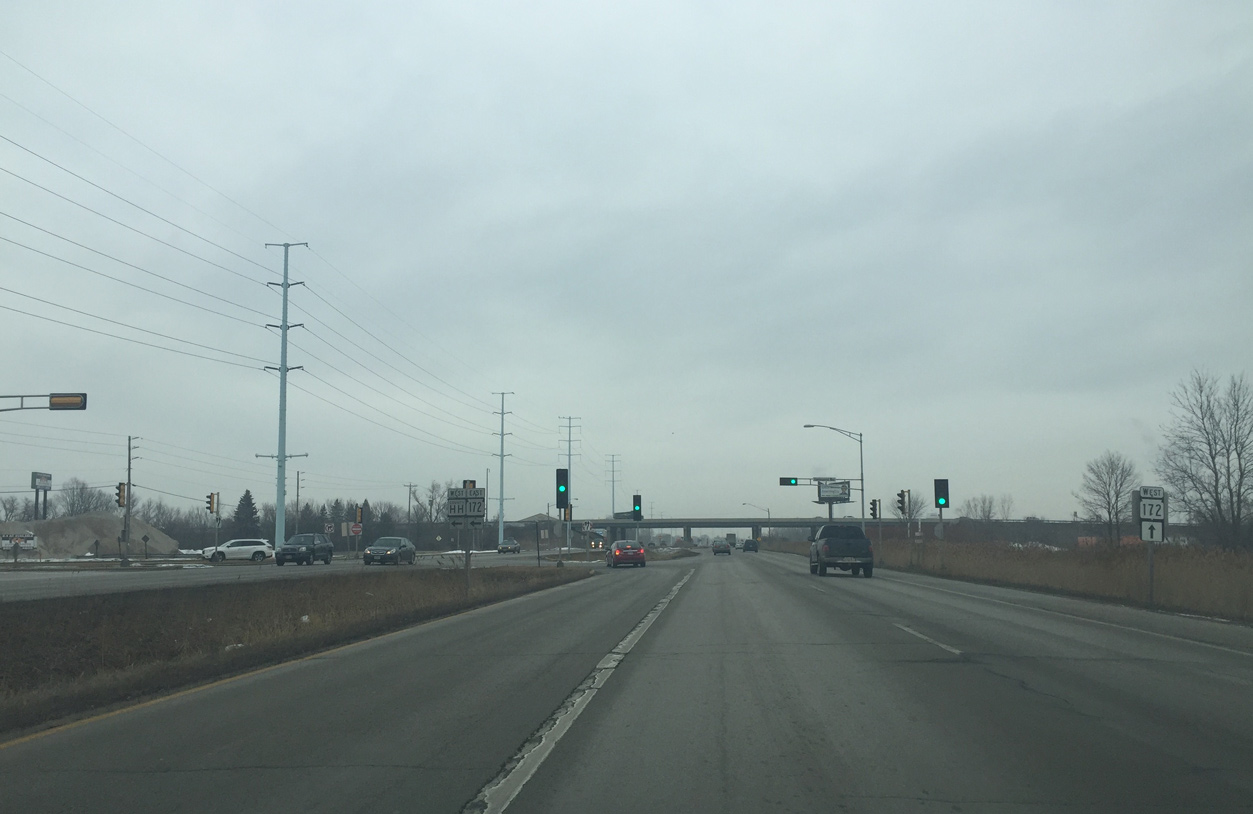
| The implied overlap with County HH west ends at the Vanderparren Way intersection. Vanderparren Way provides access to Wis 172 east to Allouez via adjacent ramps. CTH-HH west was named after "Concrete Clete" Vanderparren, who was a state legislature that lobbied for the Green Bay Beltway to be built. 02/23/16 |
|
| Crossing under the STH-172 freeway along STH-32 (Ashland Avenue) north. The high speed route was completed through Ashwaubenon in 1975. 02/23/16 |
|
| Pilgrim Way (CTH-YY) comprises the northern counterpart to Vanderparren Way. County YY provides access to Wis 172 west for both I-41 and Austin Straubel International Airport (GRB). 02/23/16 |
|
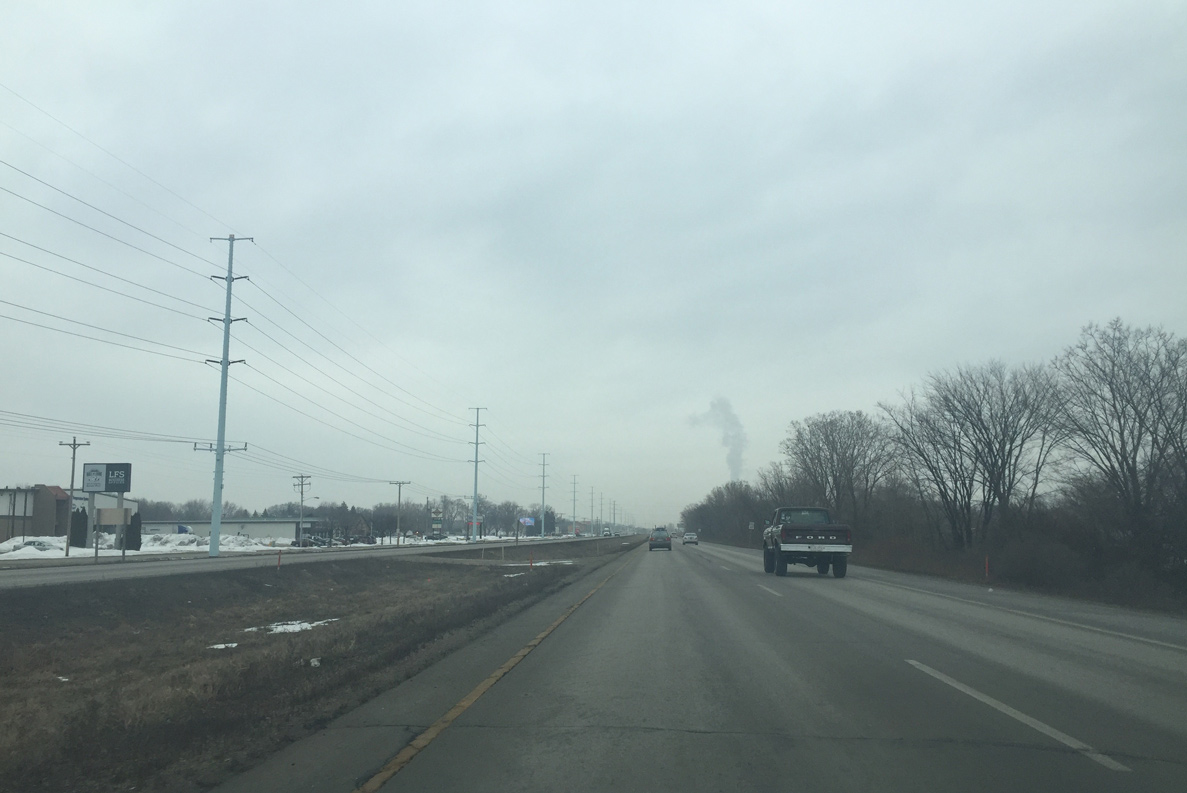
| Wis 32 advances north across Dutchman Creek through northeast Ashwaubenon. 02/23/16 |
|
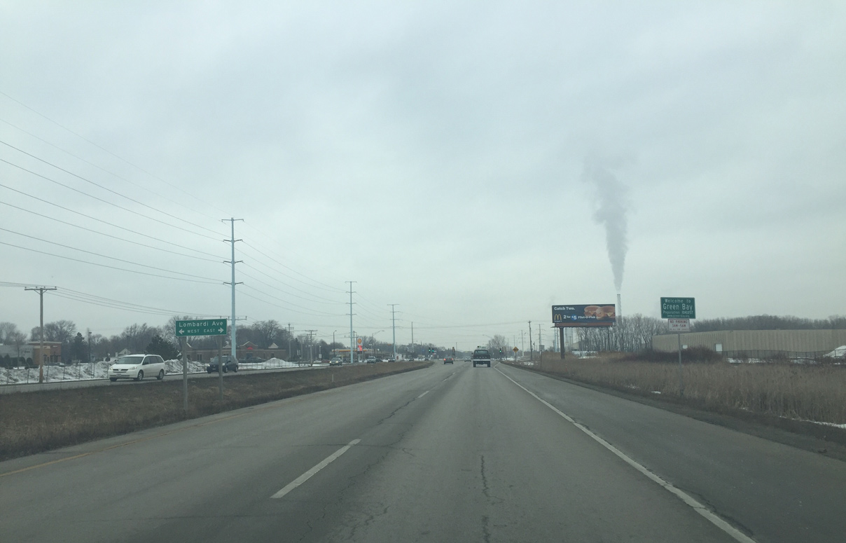
| Northbound motorists along Ashland Avenue enter the city of Green Bay at the intersection with Lombardi Avenue. Lombardi Avenue is County VK, though signs are not posted for the trunk highway along Wis 32. 02/23/16 |
|
| Lombardi Avenue stems west from the Georgia-Pacific plant on the Fox River to become County VK between Wis 32 and Interstate 41. Wis 32 turned west here until the mid 1990s.
Lombardi Avenue was also the pre-freeway route of U.S. 41, taking the route west from Ashland Avenue to Military Avenue north. 02/23/16 |
|
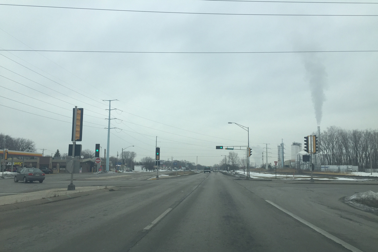
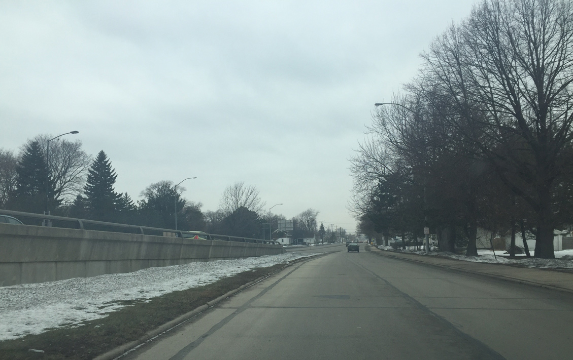
| Wis 32 (Ashland Avenue) north remains parallel to a CN Railroad line. The arterial separates the neighborhood Olde Norwood from industrial areas to the east. 02/23/16 |
|
| 9th Street connects Wis 32 (Ashland Avenue) with the Graceland community to the east and Olde Norwood and Marquette Park to the west from this traffic light. 02/23/16 |
|
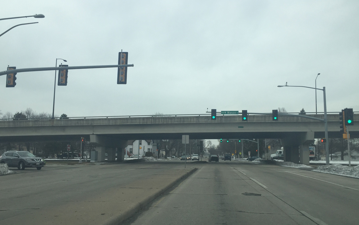
| A four lane viaduct carries STH-32 (Ashland Avenue) across an abandoned Milwaukee Road rail yard and 6th Street. 02/23/16 |
|
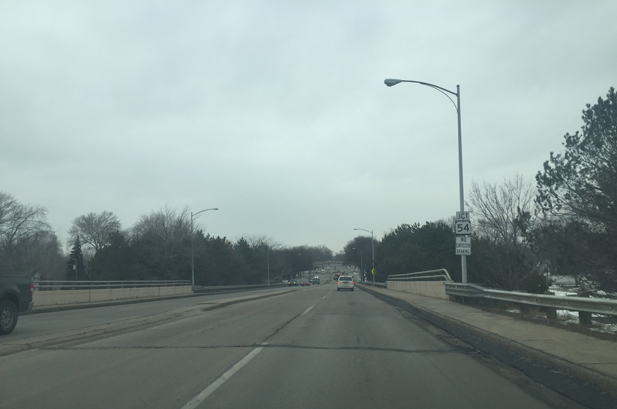
| Lowering from the 5th Street underpass, Wis 32 approaches 3rd Street and ramps with Wis 54 (Mason Street). 02/23/16 |
|
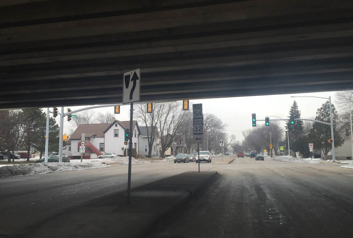
| Wis 54 travels along the Mason Street freeway from 10th Avenue and Wis 32 (Ashland Avenue) east across the Fox River to Wis 57 (Monroe Avenue) to the south of Downtown Green Bay. Wis 32 north combines with Wis 54 west via an on-ramp to the left. 02/23/16 |
|
| A diamond interchange joins the Mason Street Freeway with Ashland Avenue. 02/23/16 |
|
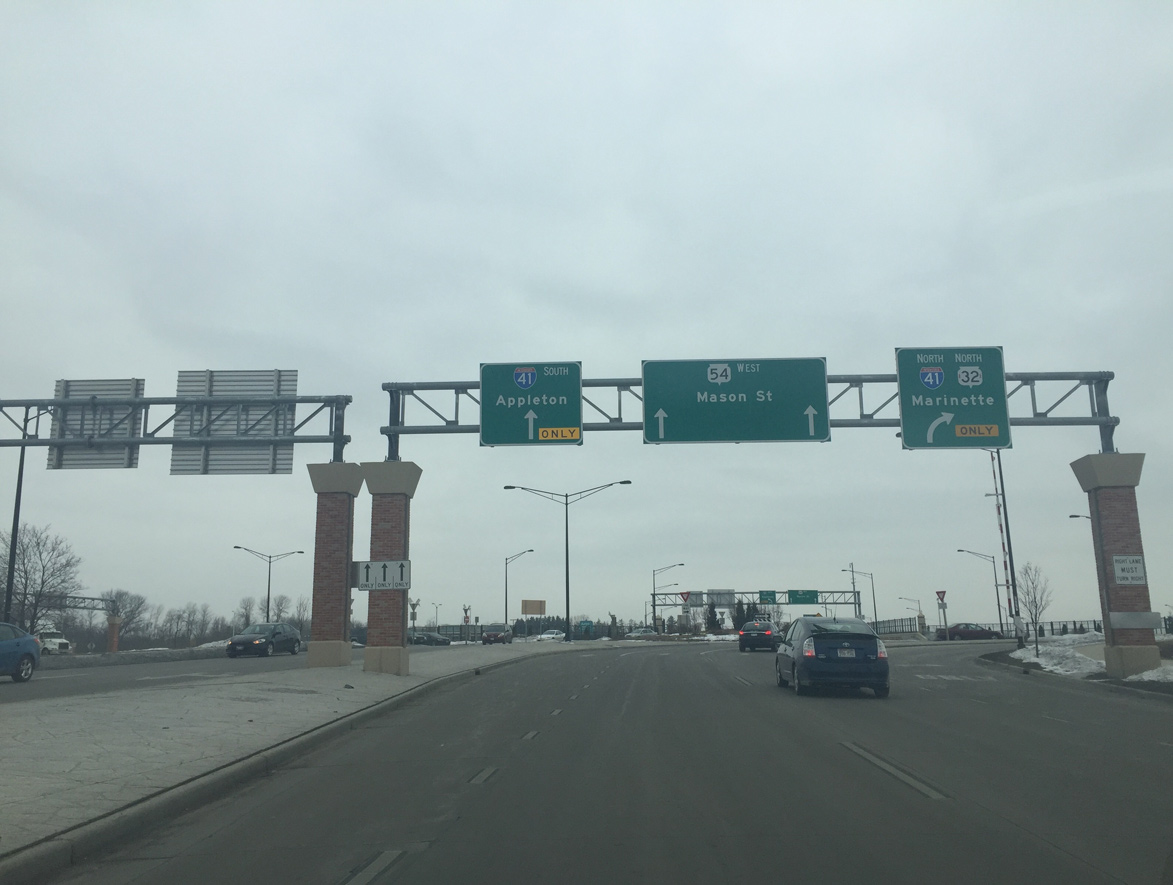
| STH-32/54 west combine for 2.8 miles along Mason Street to Interstate 41 [U.S. 41]. Ashland Avenue north continues as a locally maintained boulevard through the Seymour Park neighborhood to STH-29 (Walnut Street). 02/23/16 |
|
| Wis 54 west lowers from the Mason Street viaduct as Wis 32 north merges from the right. Mason Street transitions to an urban arterial roadway between the Western Corridor and Tank Park communities. 02/23/16 |
|
| With Wis 32 merged on, the freeway portion of Wis 54 (Mason Street) ends at 10th Avenue. 02/23/16 |
|
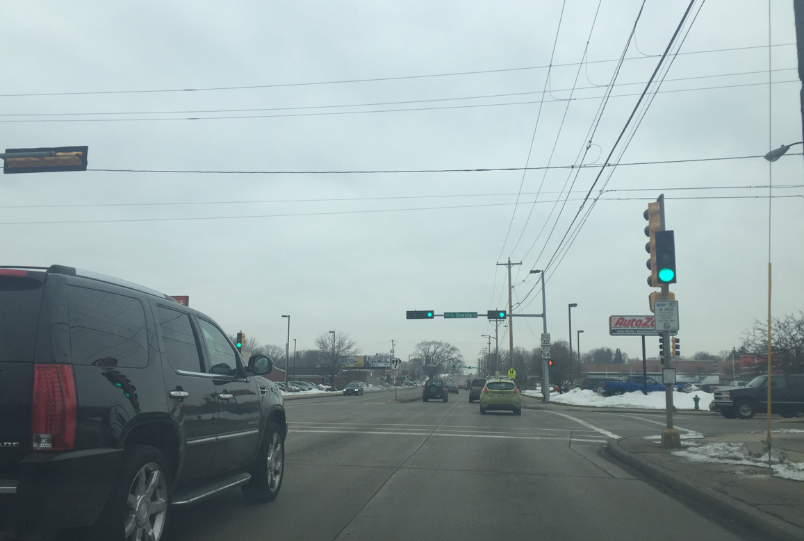
| Westbound Mason Street at the intersection with Oneida Street. Oneida Street leads southwest through the Colburn neighborhood to Lambeau Field. 02/23/16 |
|
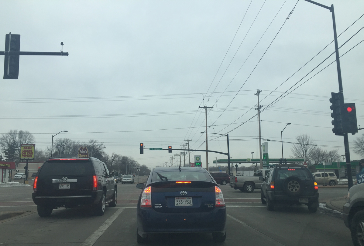
| Wis 32/54 pass by Green Bay Plaza shopping center to next intersect Military Avenue. Military Avenue is the pre-freeway alignment of US 41. In 2010, the road was reduced from six lanes to four and there was a controversial decision to replace all of the signals with roundabouts, but that plan was dropped due to community opposition. 02/23/16 |
|
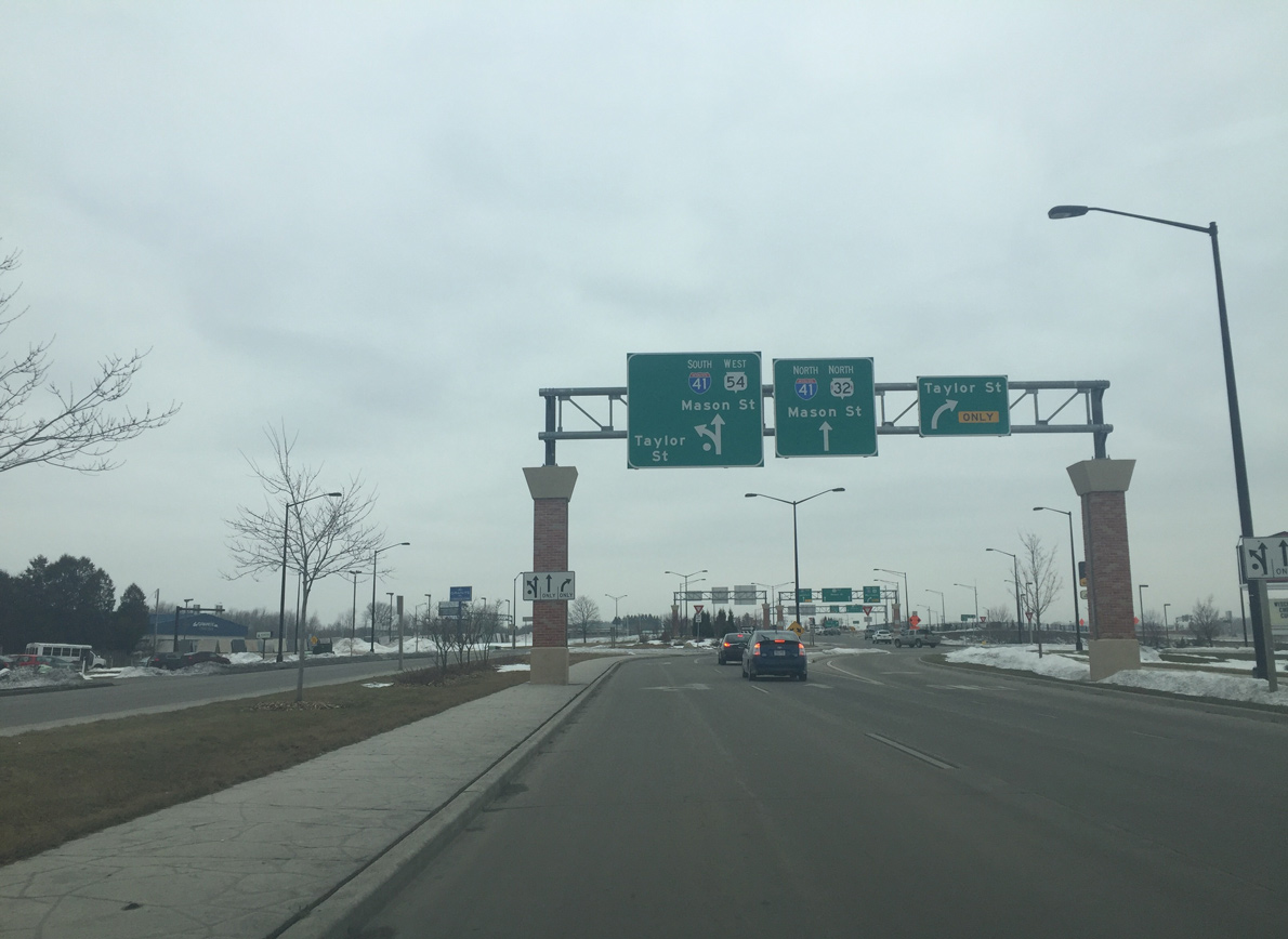
| A roundabout with Taylor Street precedes the dumbbell interchange with Interstate 41. Taylor Street serves businesses along the east side of I-41. 02/23/16 |
|
| Entering the roundabout with the north side ramps with I-41 interchange on Wis 54 west. Wis 32 north turns right onto collector distributor lanes of Interstate 41 before joining Wis 29 west. 02/23/16 |
Page Updated 04-07-2016.