|
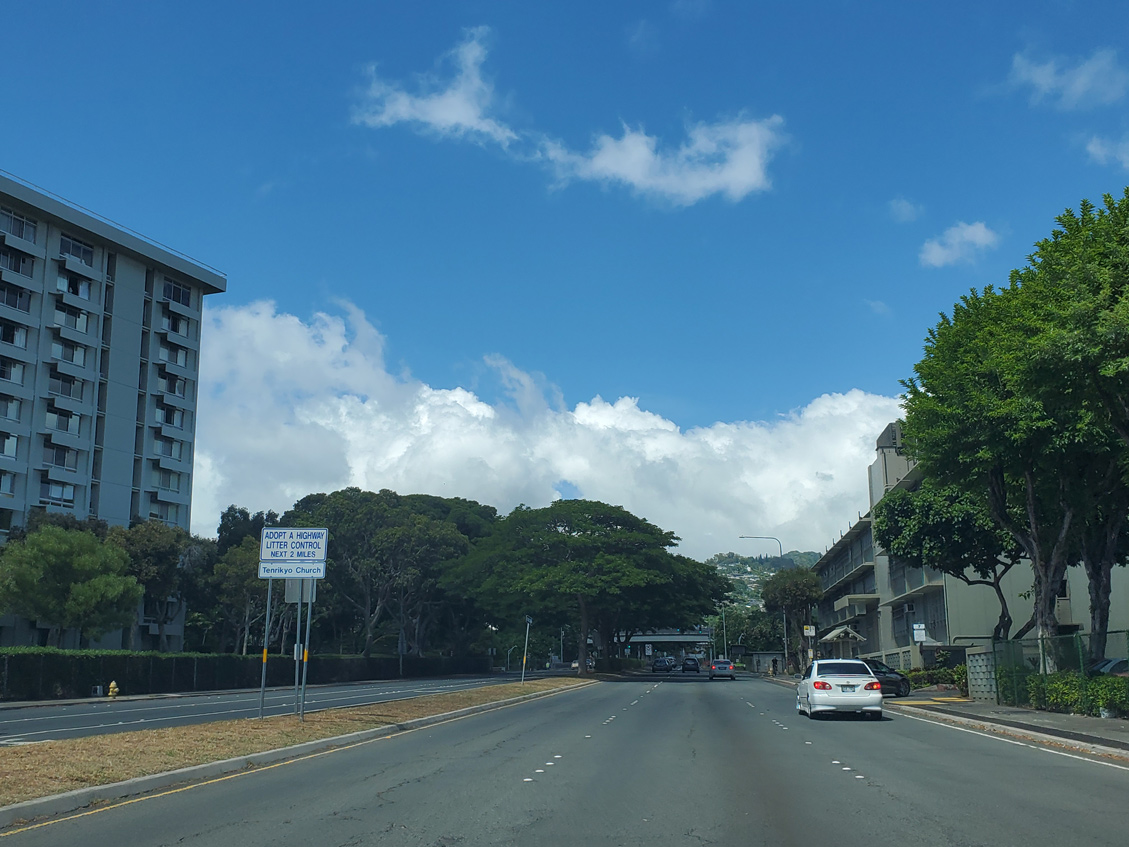
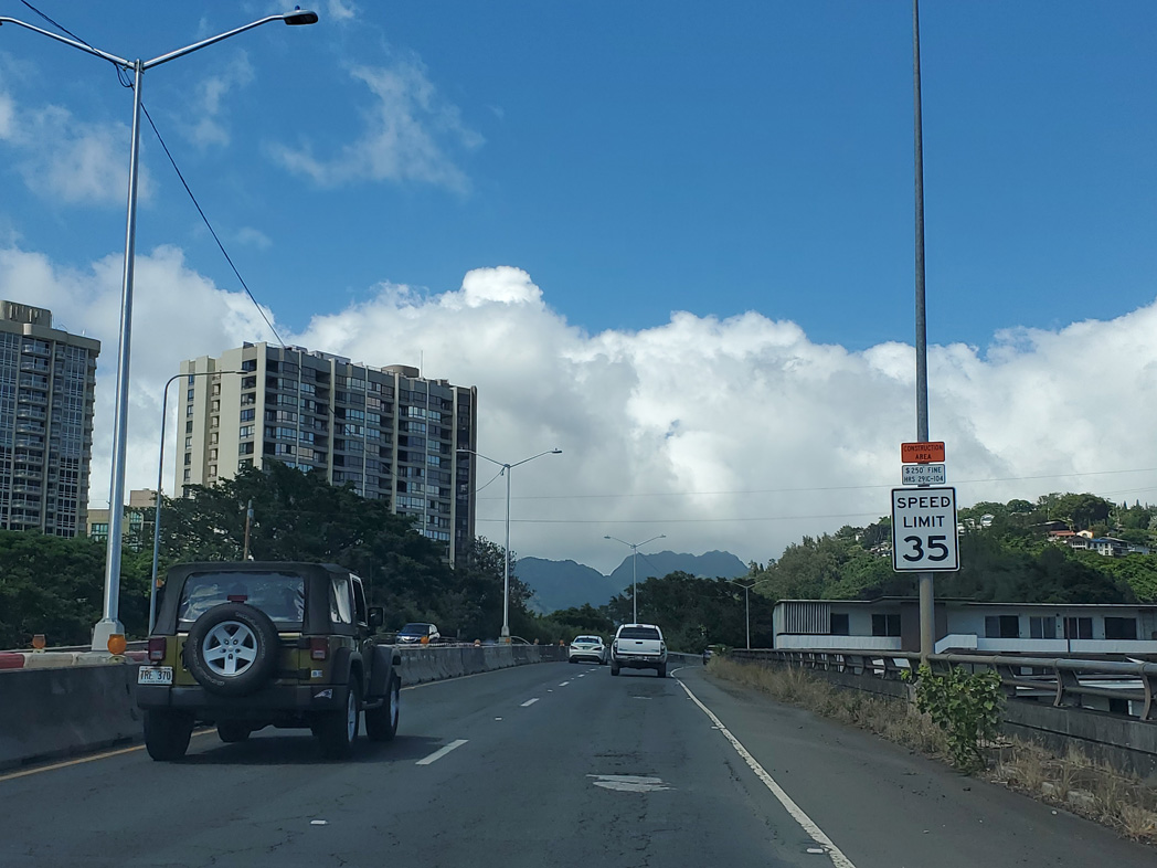
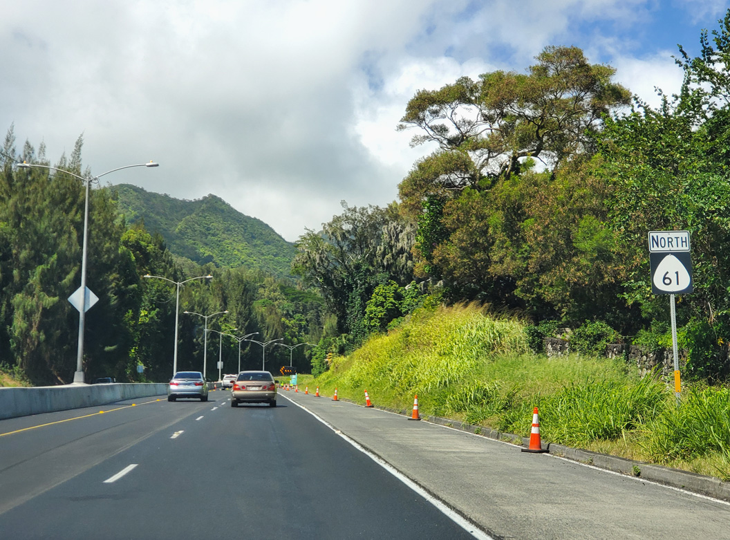
| Route 61 is unmarked along Pali Highway leading north from Route 98 (Vineyard Boulevard) and Downtown Honolulu. 08/16/19 |
|
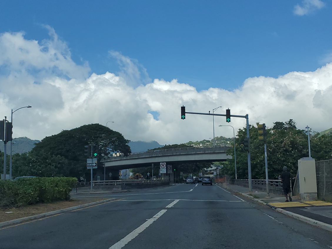
| Route 61 spans I-H1 (Lunalilo Freeway) 0.18 miles north of Vineyard Boulevard. There is no access to the Lunalilo Freeway from Pali Highway northbound. 08/16/19 |
|
| Directional ramps join I-H1 west with Pali Highway north and from Route 61 south to the Lunalilo Freeway east. Route 61 remains unsigned north from the exchange. 08/16/19 |
|
| Northbound Route 61 (Pali Highway) at the turn off to Kuakini Street east. Kuakini Street links Pali Highway with parallel Lusitana Street. Connections with Auwaiolimu Street and Puowaina Drive lead to National Memorial Cemetery of the Pacific. Situated at the top of the Punchbowl Crater, the cemetery is the resting place for many who served during the Pacific Campaign of World War II. 08/16/19 |
|
| Pacific Heights Road branches east from Pali Highway beyond this pedestrian bridge by Kuakini Street. 08/16/19 |
|
| A grade separated intersection joins Pauoa Road (Route 7521) with Route 61 (Pali Highway). 08/16/19 |
|
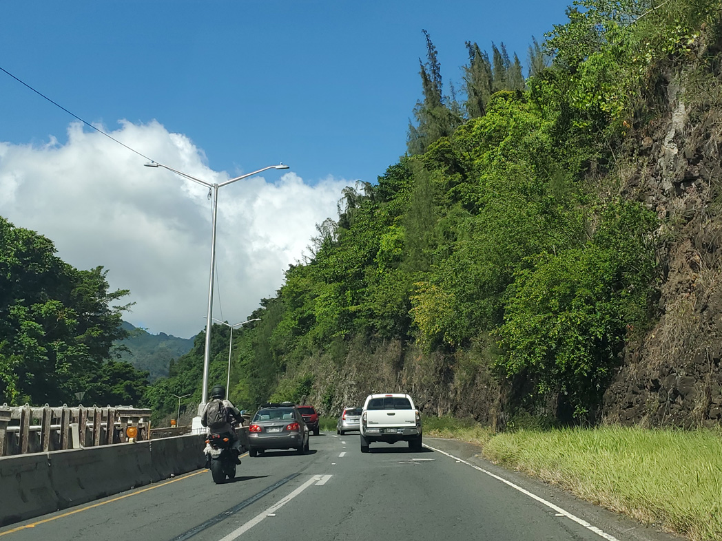
| Route 61 (Pali Highway) runs along a steep hillside west of Pacific Heights. 08/16/19 |
|
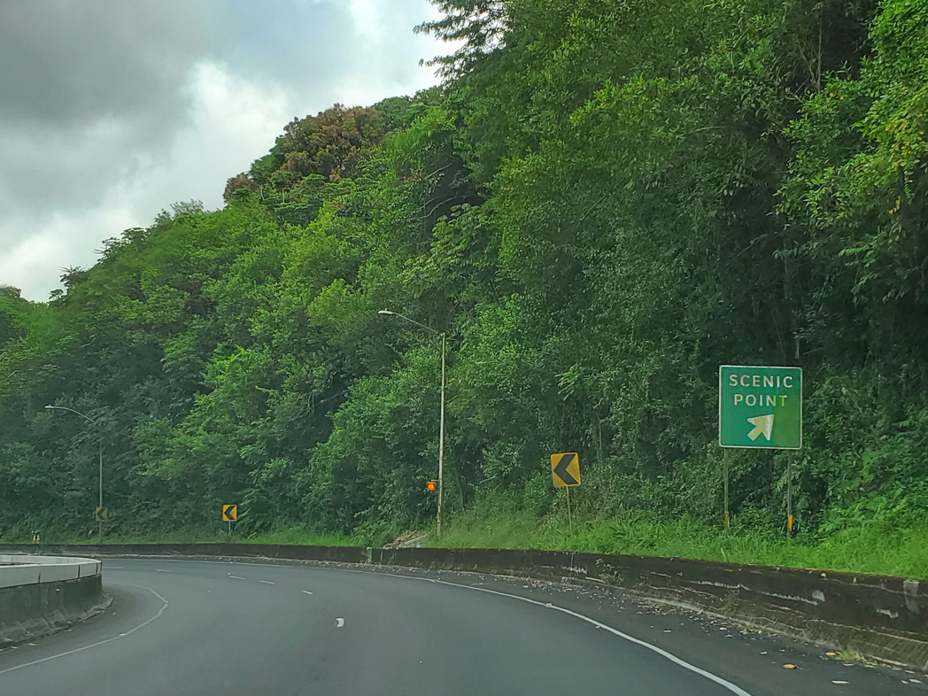
| A scenic overlook lies along southbound Pali Highway on the stretch by Pacific Heights. 08/16/19 |
|
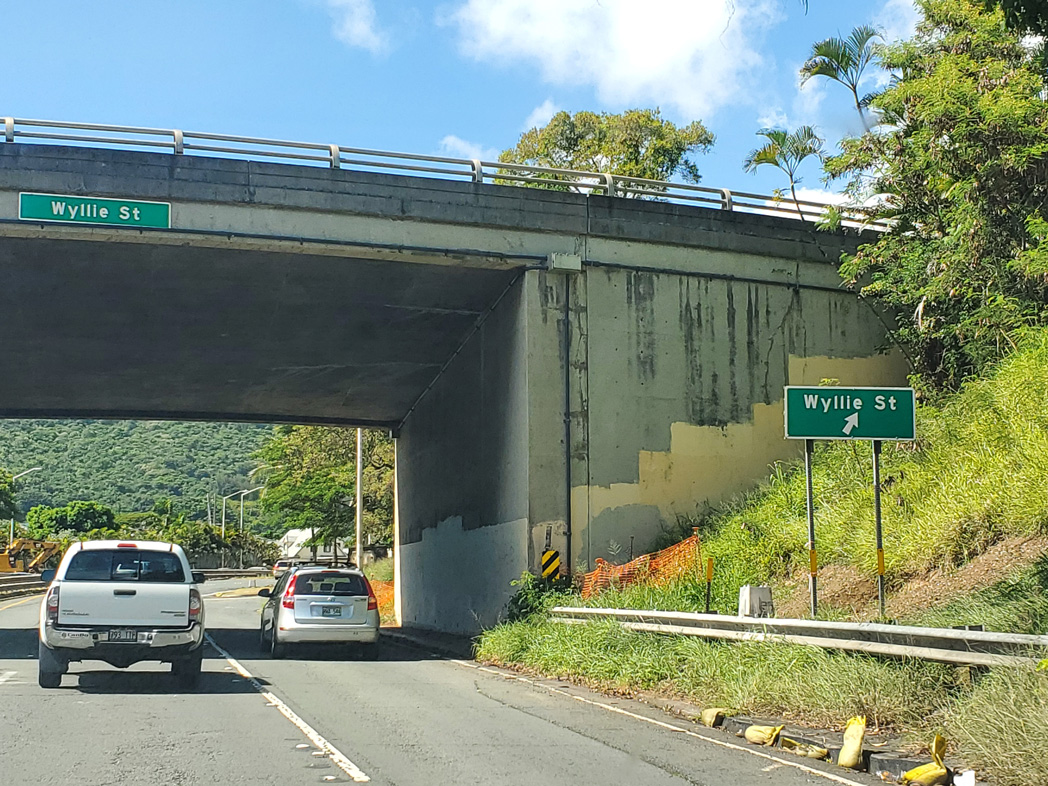
| Northbound Route 61 spans Nuuanu Stream ahead of a trumpet interchange to Wyllie Street west and Nuuanu Avenue (Route 7522) south. 08/16/19 |
|
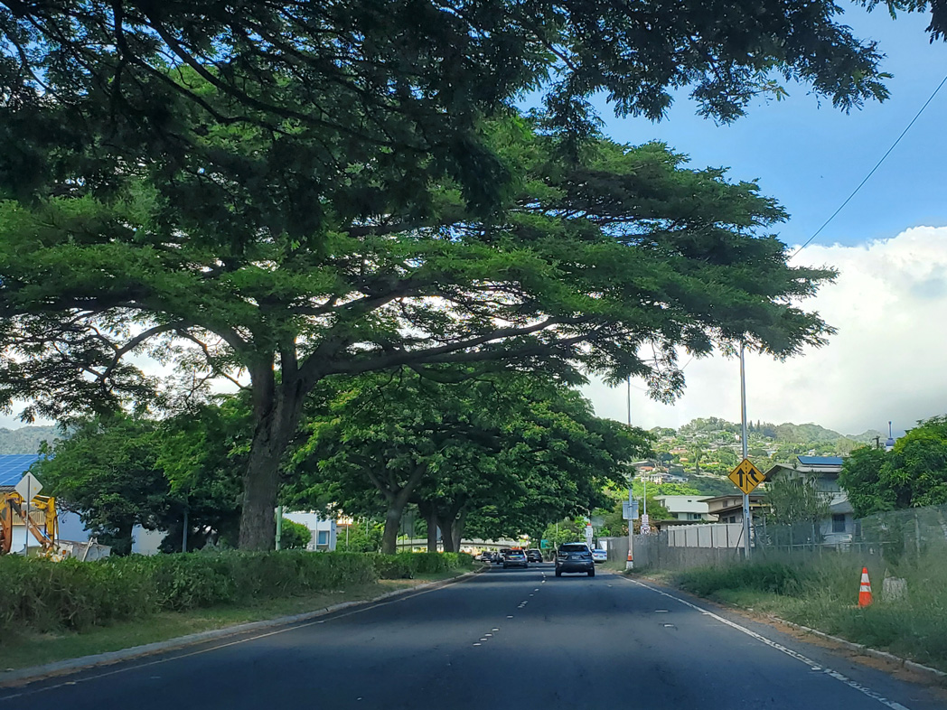
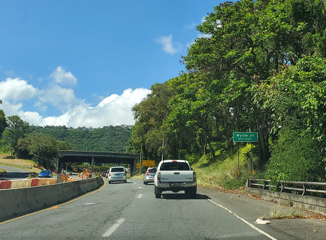
| Beyond the loop ramp with Wyllie Street (Route 7524). Route 61 runs through the residential area of Nu'uanu Valley. 08/16/19 |
|
| Wyllie Street stems northwest from Pali Highway and parallel Nuuanu Avenue to Liliha Street and Waolani Avenue in the Pu'unui area. Nuuanu Avenue (Route 7522) parallels Route 61 southwest 1.69 miles to Route 92 (Nimitz Highway) beyond the Honolulu central business district. 08/16/19 |
|
| Reassurance marker for Route 61 north posted after the Wyllie Street entrance ramp. 08/16/19 |
|
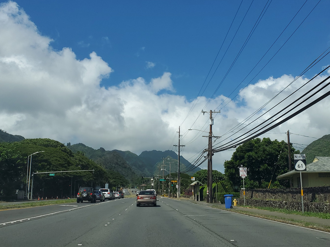
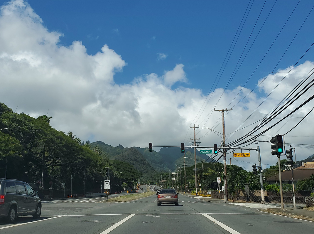
| Continuing the Ascent northeast from Honolulu into Nu'uanu Valley, Route 61 (Pali Highway) continues through residential areas at Akamu Place east and Jack Lane west. 08/16/19 |
|
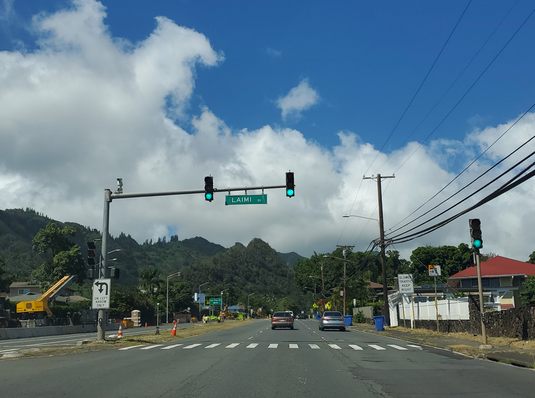
| Ahi Place east and Laimi Road west come together at the succeeding traffic light on Route 61 (Pali Highway) northbound. 08/16/19 |
|
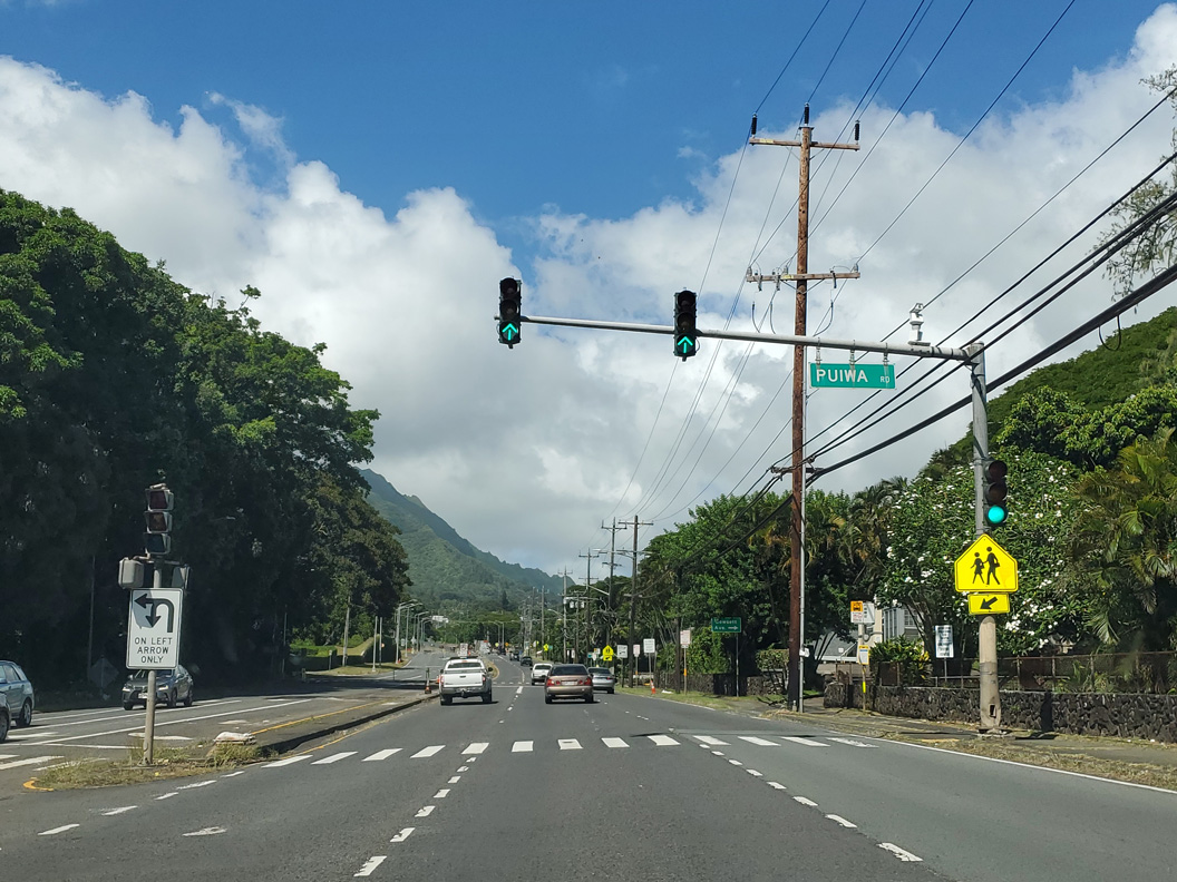
| Puiwa Road and Country Club Road intersect Route 61 at this traffic light. Puiwa Road meanders east to Nuuanu Valley Park while Country Club Road leads north to Oahu Country Club and golf course. 08/16/19 |
|
| Connecting the state route with Dowsett Avenue south and Kepola Place, an old stretch of Pali Highway remains in use as a service road along northbound Route 61. 08/16/19 |
|
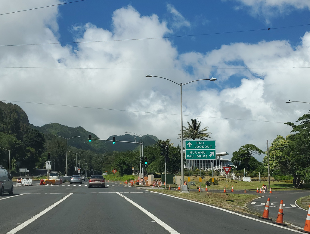
| Nuuanu Pali Drive parallels Route 61 eastward through the Nu'uanu Valley. The road overtakes portions of Old Pali Road. Waokanaka Street constitutes a north side frontage road along Pali Highway. 08/16/19 |
|
| The second reassurance marker for Route 61 north appears beyond the traffic light at Nuuanu Pali Drive. 08/16/19 |
|
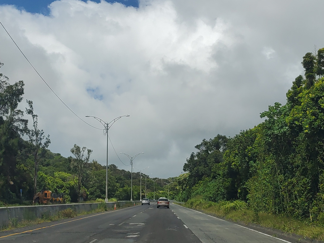
| Ascending northeast through Nu'uanu Valley, Route 61 passes below adjacent residential areas to Honolulu Watershed Forest Reserve. This stretch includes a forested roadway split. 08/16/19 |
|
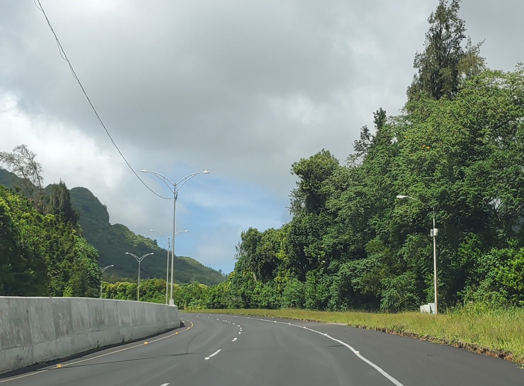
| Pali Highway navigates through an S-curve between Makuku hill and Nuuanu Reservoir. 08/16/19 |
|
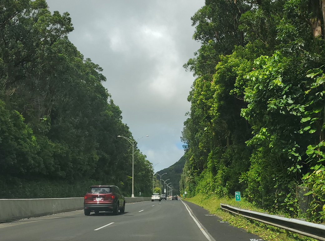
| Route 61 (Pali Highway) northbound at milepost 5. The speed limit is 45 MPH through Nu'uanu Valley. 08/16/19 |
|
| The Pali Lookout in Nu'uanu Pali State Park on the Ko'olau Range utilizes a section of old Pali Road above the Pali Tunnels. 08/16/19 |
|
| The Nu'suano Pali State Wayside is located off Nuuanu Pali Drive, which parallels Route 61 (Pali Highway) west back to Makuku. 08/16/19 |
|
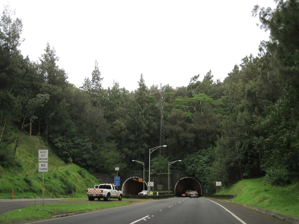
| The speed limit reduces to 35 mph from the Pali Lookout ramp to the Pali Tunnels. 01/18/11 |
|
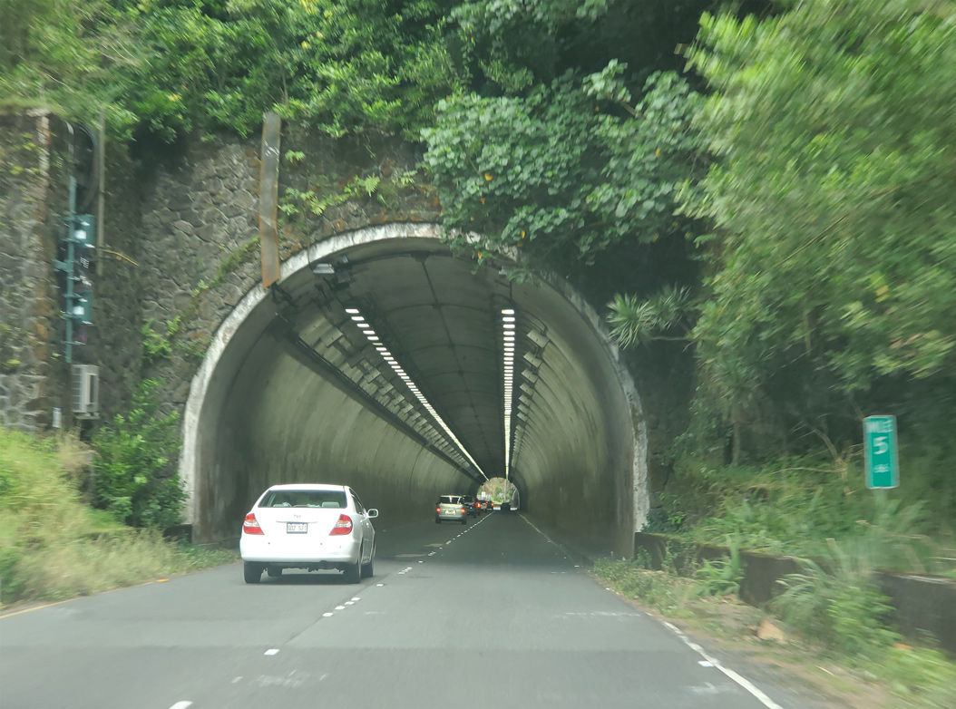
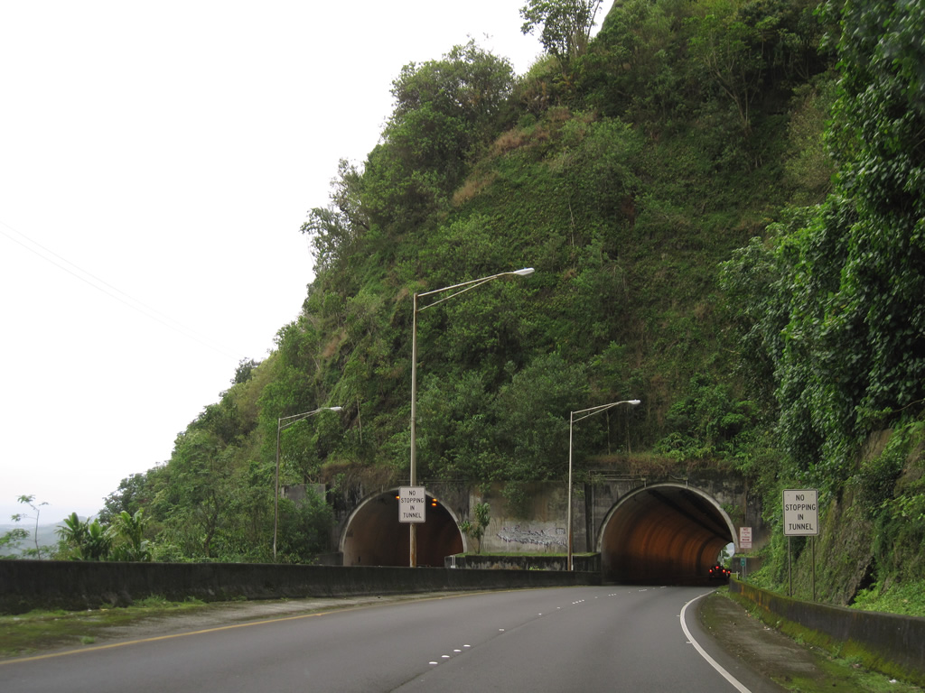
| The Pali Tunnel constitutes two sets of twin tunnels taking Route 61 across the Ko'olau Range. 08/16/19 |
|
| The Pali Tunnels were constructed in the mid 1950s. The first of the twin tunnels opened to two-way traffic in May 1957.1 08/16/19 |
|
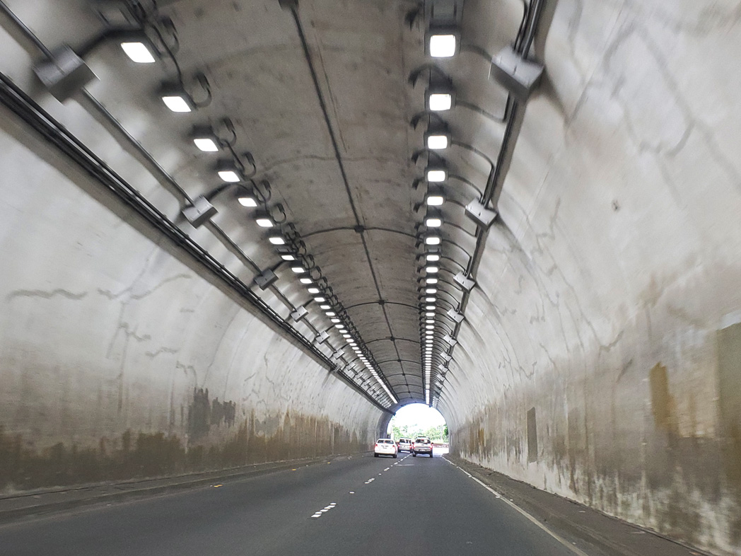
| Route 61 briefly emerges between the two Pali Highway tubes. This stretch is visible from the Nu'unau Pali Overlook above, especially along the old Pali Road, which is part of the Pali Trail. 01/18/11, 08/16/19 |
|
| Dedication of the second Pali Tunnel took place on August 1, 1961.1 08/16/19 |
|
| Descending from the Pali Tunnels, Route 61 curves southward. 08/16/19 |
|
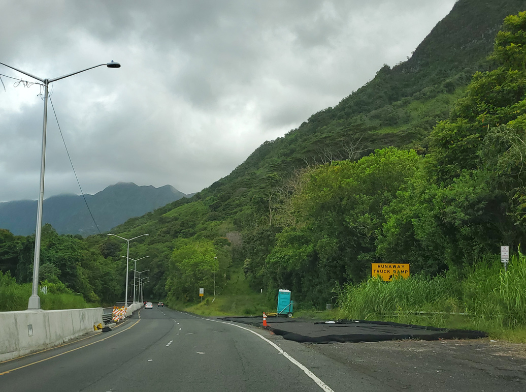
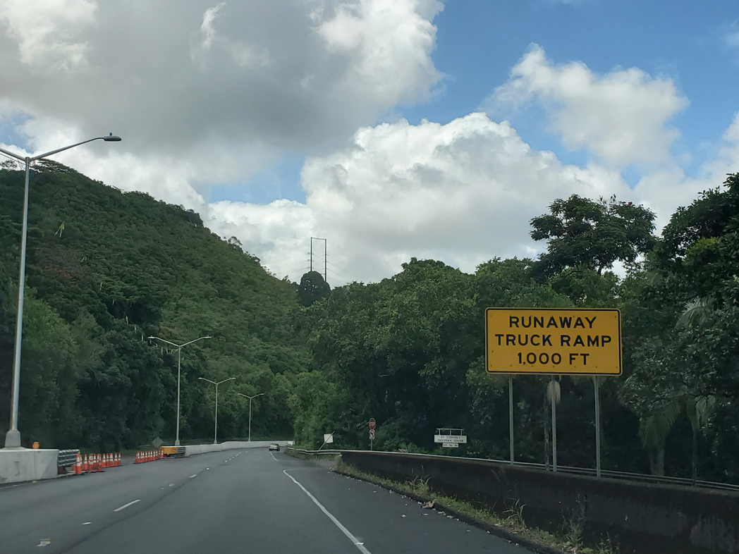
| The speed limit remains at 35 mph beyond the Pali Tunnels. The first of two runaway truck ramps follows. 08/16/19 |
|
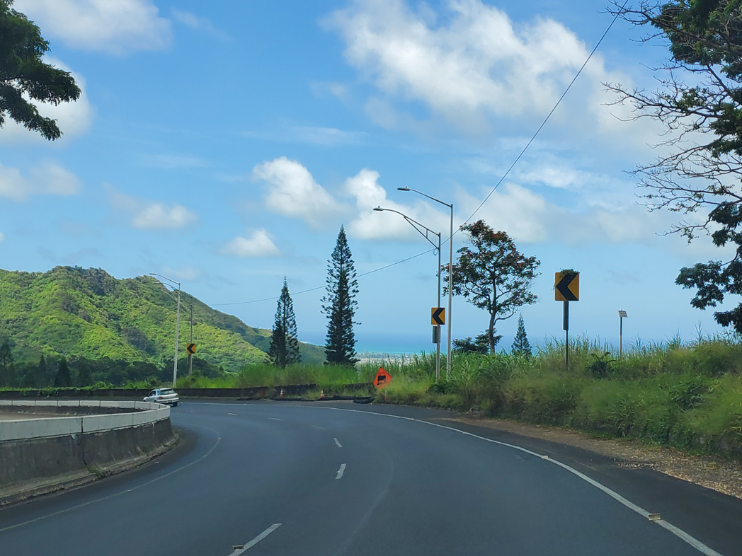
| A scenic point for viewing of Mokapu Peninsula precedes milepost 7 along Route 61 north. 08/16/19 |
|
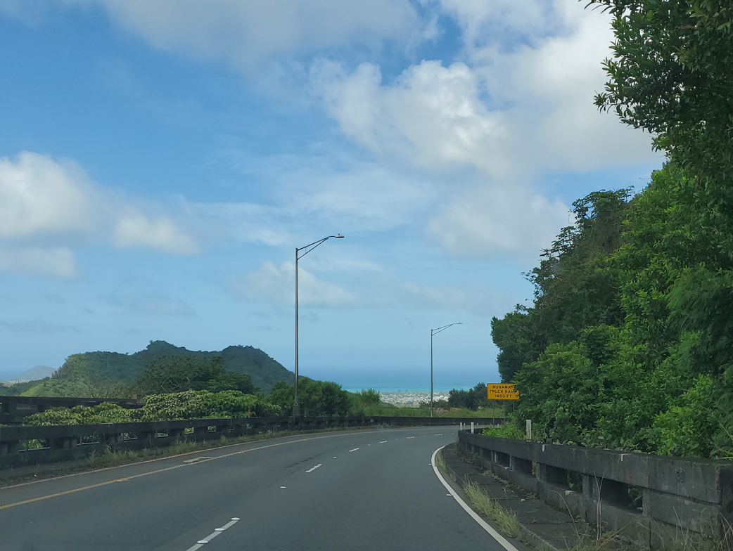
| The Pacific Ocean lines the eastern horizon as Route 61 (Pali Highway) turns northward through a sharp curve. 08/16/19 |
|
| A second runaway truck ramp follows the turn off to the St. Stephens Diocesan Center. 08/16/19 |
|
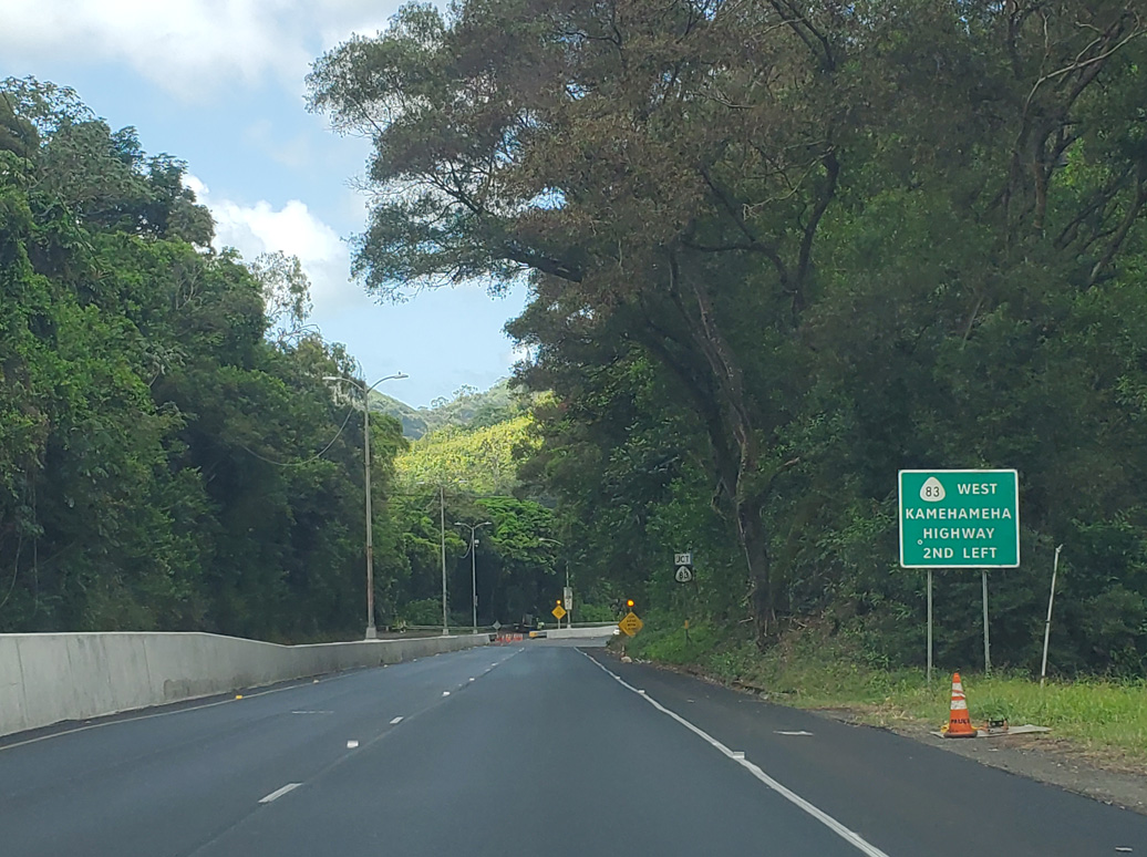
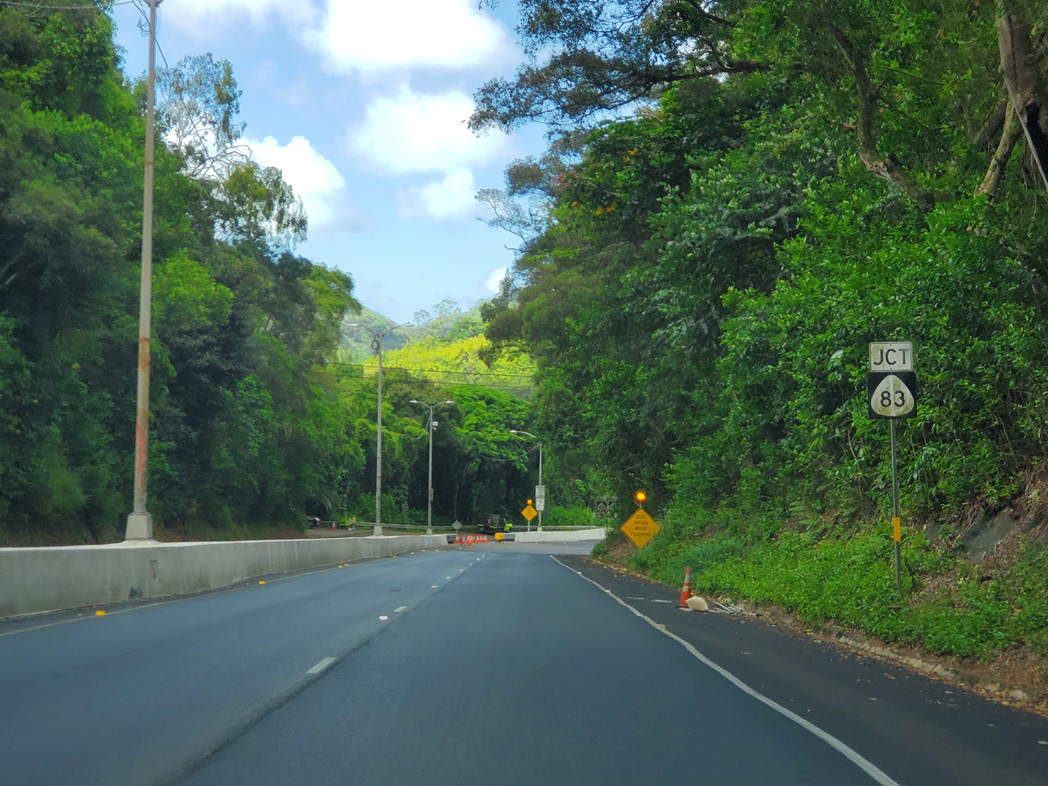
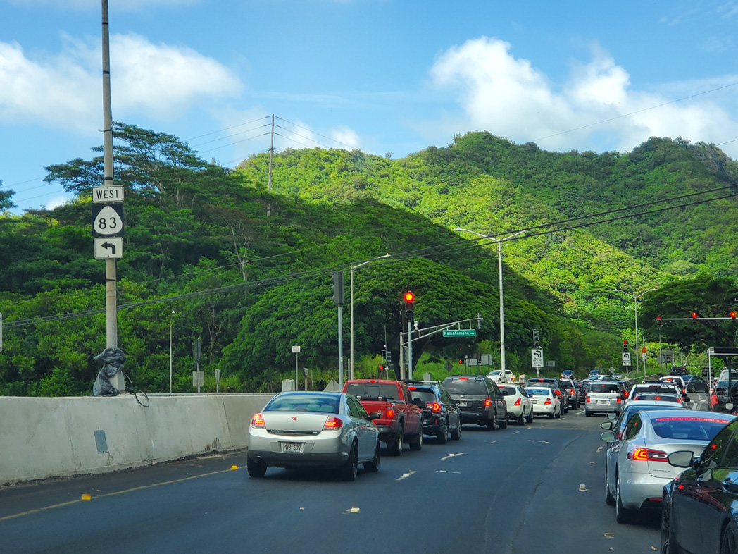
| Route 61 lowers to intersect the east end of Route 83 and Kamehameha Highway. The forthcoming junction also represents the beginning of Kalanianaole Highway encircling southeastern Oahu. 08/16/19 |
|
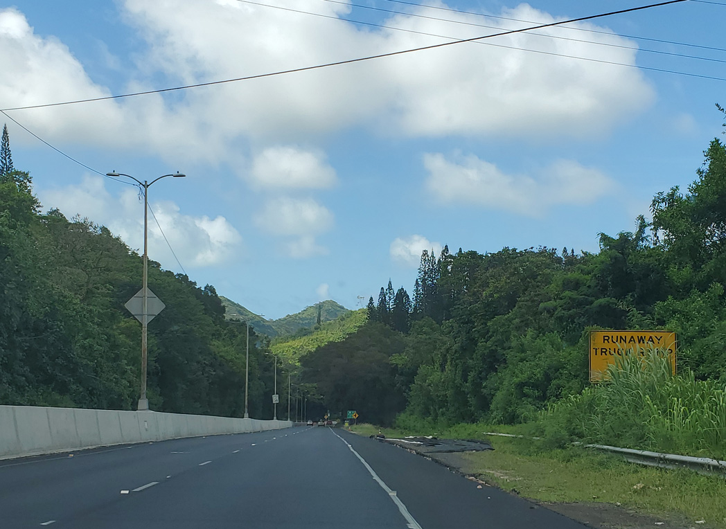
| The second runaway truck ramp on Pali Highway northbound follows Kahana Iki Stream. 08/16/19 |
|
| Auloa Road spurs west from Route 61 (Pali Highway) just ahead of the intersection with Route 83 (Kamehameha Highway). 08/16/19 |
|
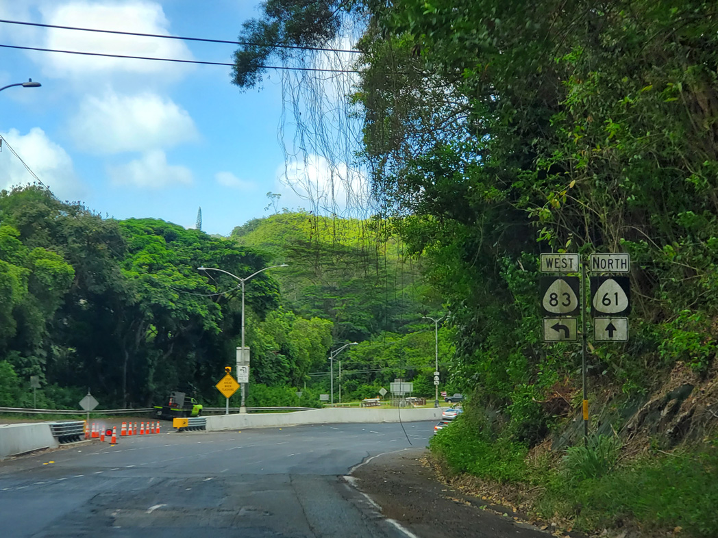
| Kamehameha Highway (Route 83) straddles the Pacific Ocean northward from Kaneohe to Waialee and southwest along the North Shore of Oahu to Waimea and Haleiwa. Route 99 continues Kamehameha Highway south to Pearl City and Aiea. 08/16/19 |
|
| Route 83 (Kamehameha Highway) travels 43.90 miles overall between Route 61 (Pali Highway) near Kaneohe to Route 99/930 near Weed Circle and Haleiwa. 08/16/19 |
|
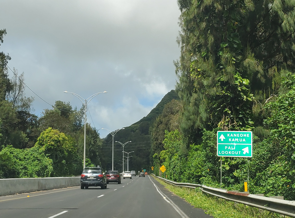
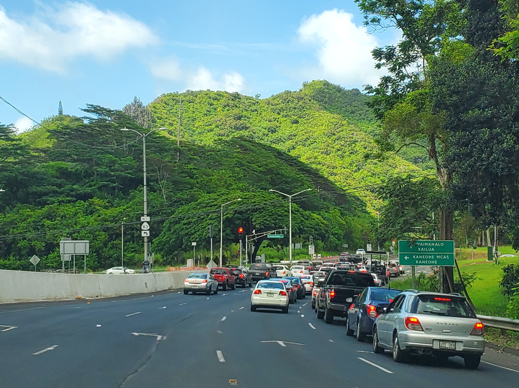
| Route 61 continues northeast along Kalanianaole Highway to Route 72 at Pohakupu. Kailua Road extends north from there to Kailua while Route 72 continues Kalanianaole Highway east to Waimanalo. 08/16/19 |
|
| Auloa Road east connects Pali Highway and Route 83 with Maunawili. The road was made discontinuous by the construction of Route 61. Route 83 north next meets Interstate H3 midway between Kaneohe MCBH and the Tetsuo Harano Tunnels across the Ko'olau Range. 08/16/19 |
|
| Route 61 (Kalanianaole Highway) traverses the Oneawa Hills east from Route 83 and Auloa Road. 01/18/11 |
|
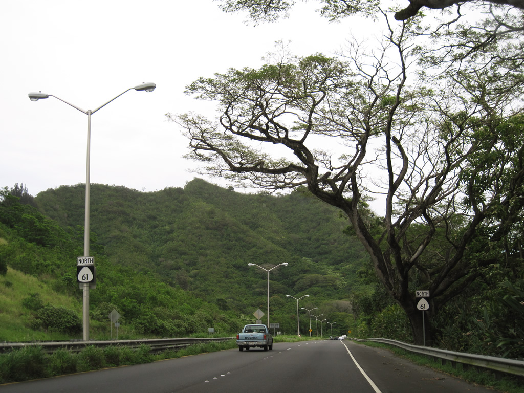
| Kapaa Quarry Road heads north from Route 61 (Kalanianaole Highway) to Mokapu Saddle Road (Route 65) near Mahinui and Kailua. 01/18/11 |
|
| Auloa Road returns to Route 61 (Kalanianaole Highway) as part of Route 6051 west of Maunawili Stream. 01/18/11 |
|
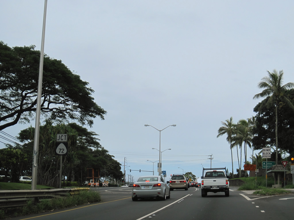
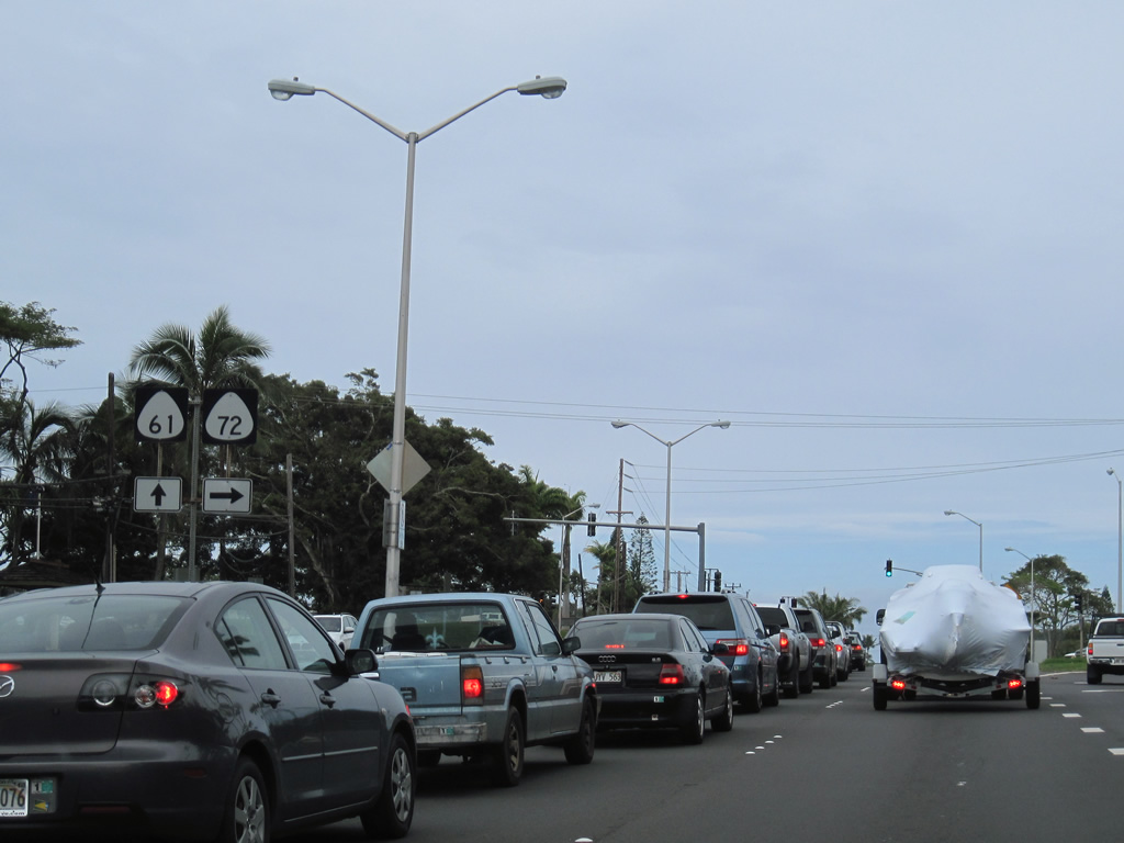
| Entering the Pohakupu community, Route 61 converges with Route 72. Route 72 continues Kalanianaole Highway southeast toward Waimanalo Bay. 01/18/11 |
|
| Route 72 travels 18.43 miles from Route 61 to the westbound beginning of Interstate H1 in Honolulu. The state route used to continue further west to Aiea and Pearl Harbor. 01/18/11 |
|
| Route 61 continues as a four lane arterial on Kailua Road northeast toward in Kailua. Ulukahiki Street ties into the Route 61/72 intersection from Castle Medical Center to the north. 01/18/11 |
|
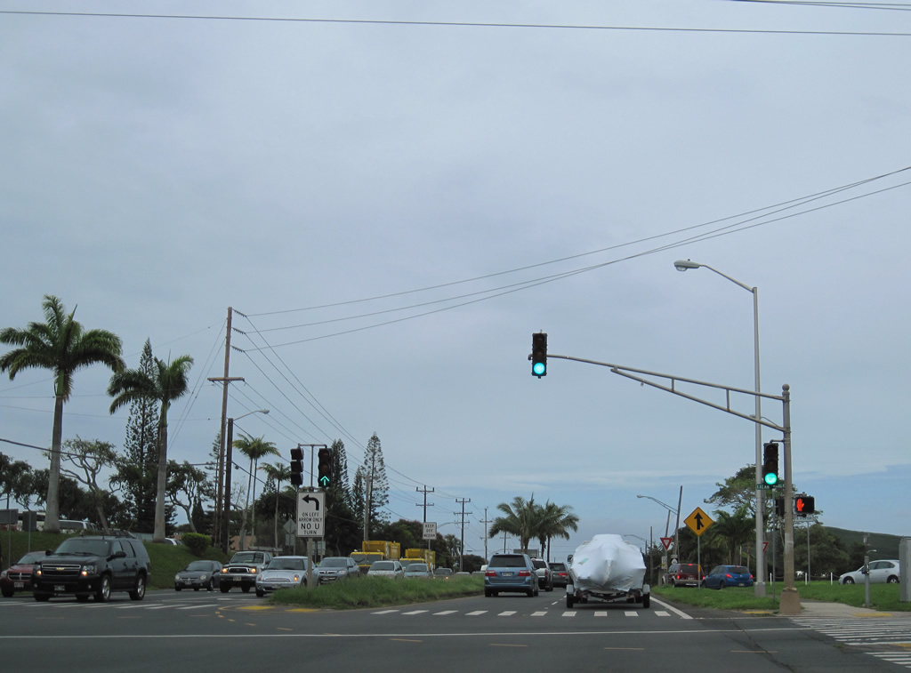
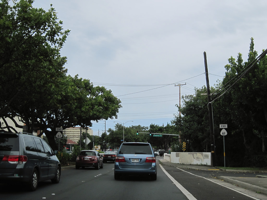
| The final set of reassurance markers for Route 61 appear along Kailua Road after the separation with Kalanianaole Highway. 01/18/11 |
|
| Route 61 formally ends at the bridge taking Kailua Road across Maunawili Stream into Kailua. The ensuing stretch of Kailua Road was historically part of Route 63. 01/18/11 |
|
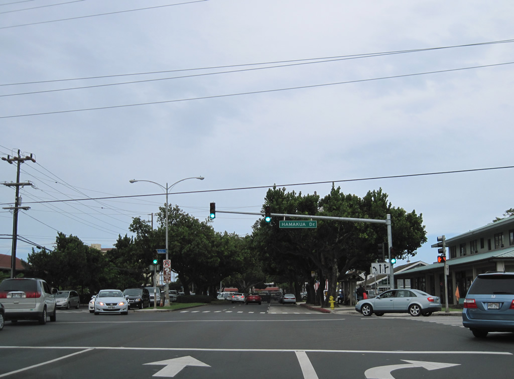
| Hamakua Drive (Route 6010) parallels Maunawili Stream south through a business park 0.78 miles to Keolu Drive (Route 6013) by Ka'elepulu Pond. Kailua Road (Route 6001) continues east to Oneawa Street north and Kuulei Road east en route to Kailua Beach Park. 01/18/11 |
Page Updated 01-23-2024.