|
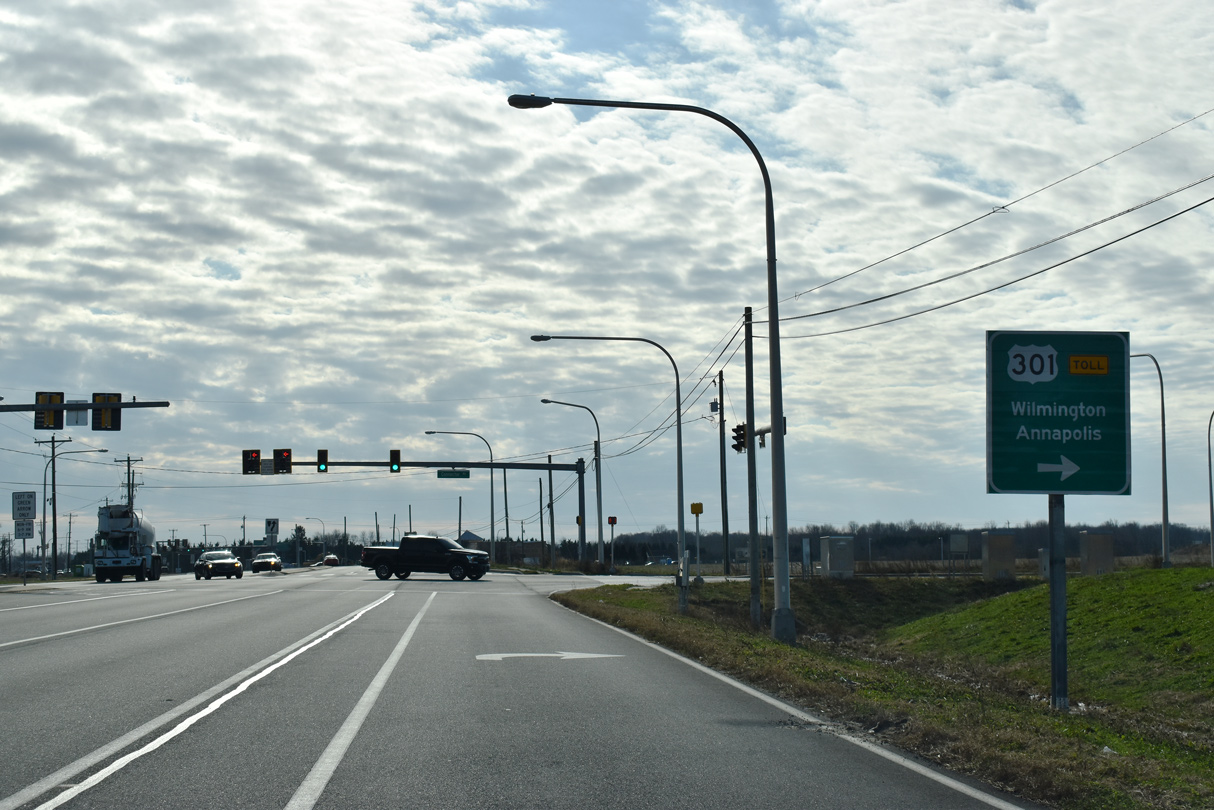
| Red Lion Road branches southwest from U.S. 13 (Dupont Highway) and SR 1 at Tybouts Corner. 12/23/22 |
|
| SR 71 (Red Lion Road) advances southwest by the Rutledge community in Bear. 12/30/16 |
|
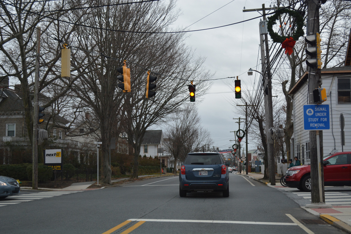
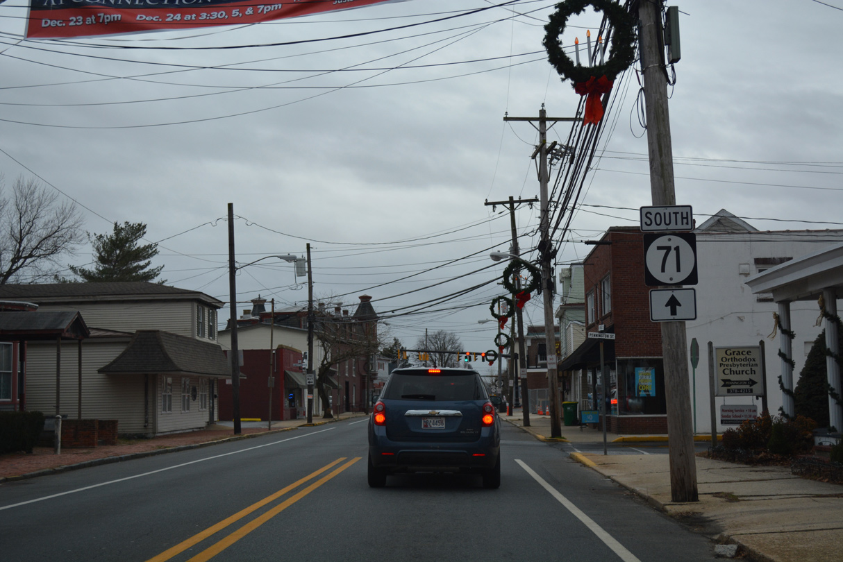
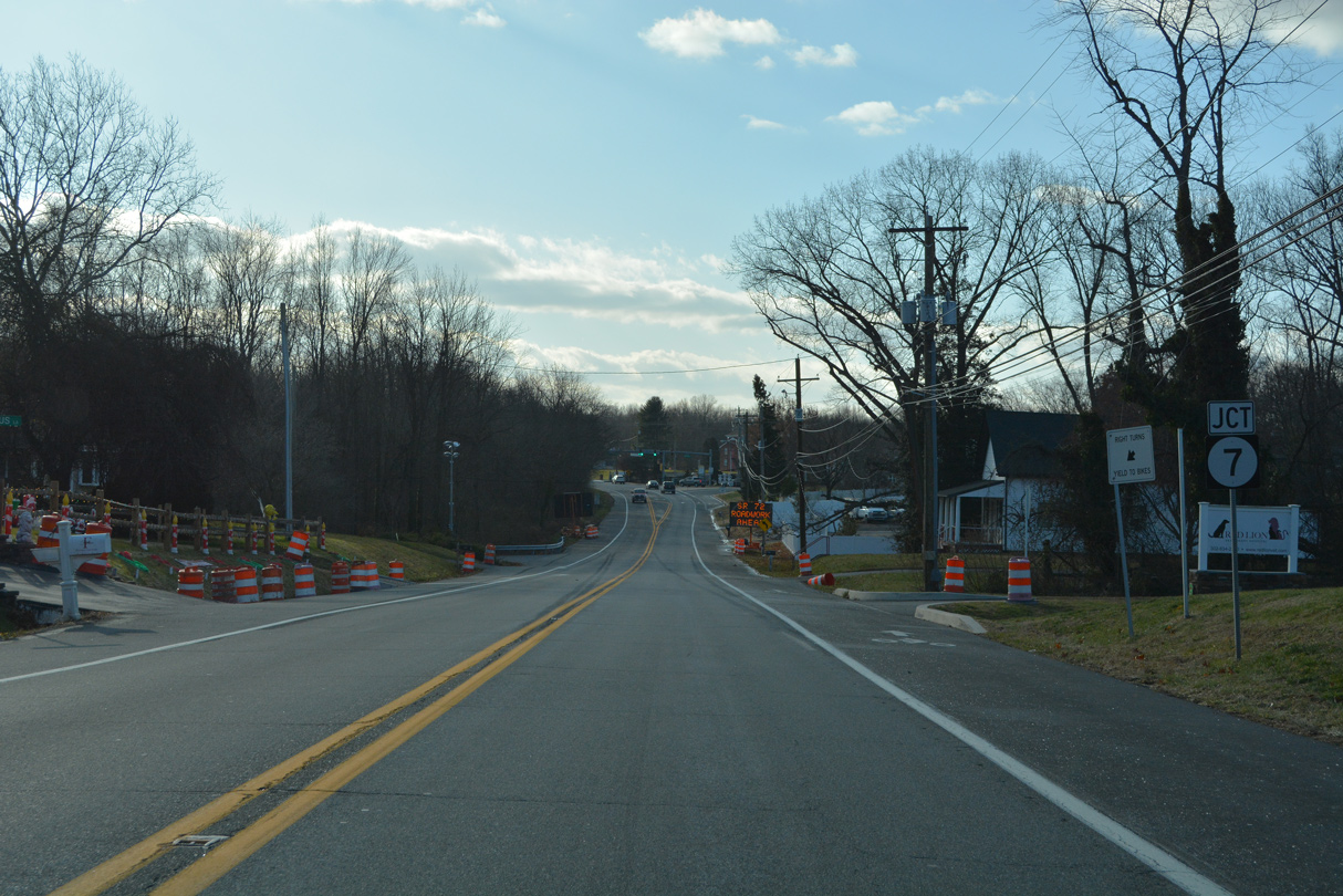
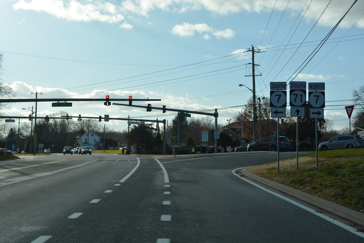
| SR 71 converges with SR 7 (Bear Corbitt Road) at the unincorporated community of Red Lion. SR 71 passes by house locally known for its Christmas decorations by this shield assembly. 12/23/22 |
|
| SR 7 (Bear Corbitt Road) constitutes a local and commuter route north to U.S. 40 (Pulaski Highway) in Bear and south to U.S. 13 (Dupont Highway) at Wrangle Hill. The state route parallels SR 1 northward to Christiana. 12/23/22 |
|
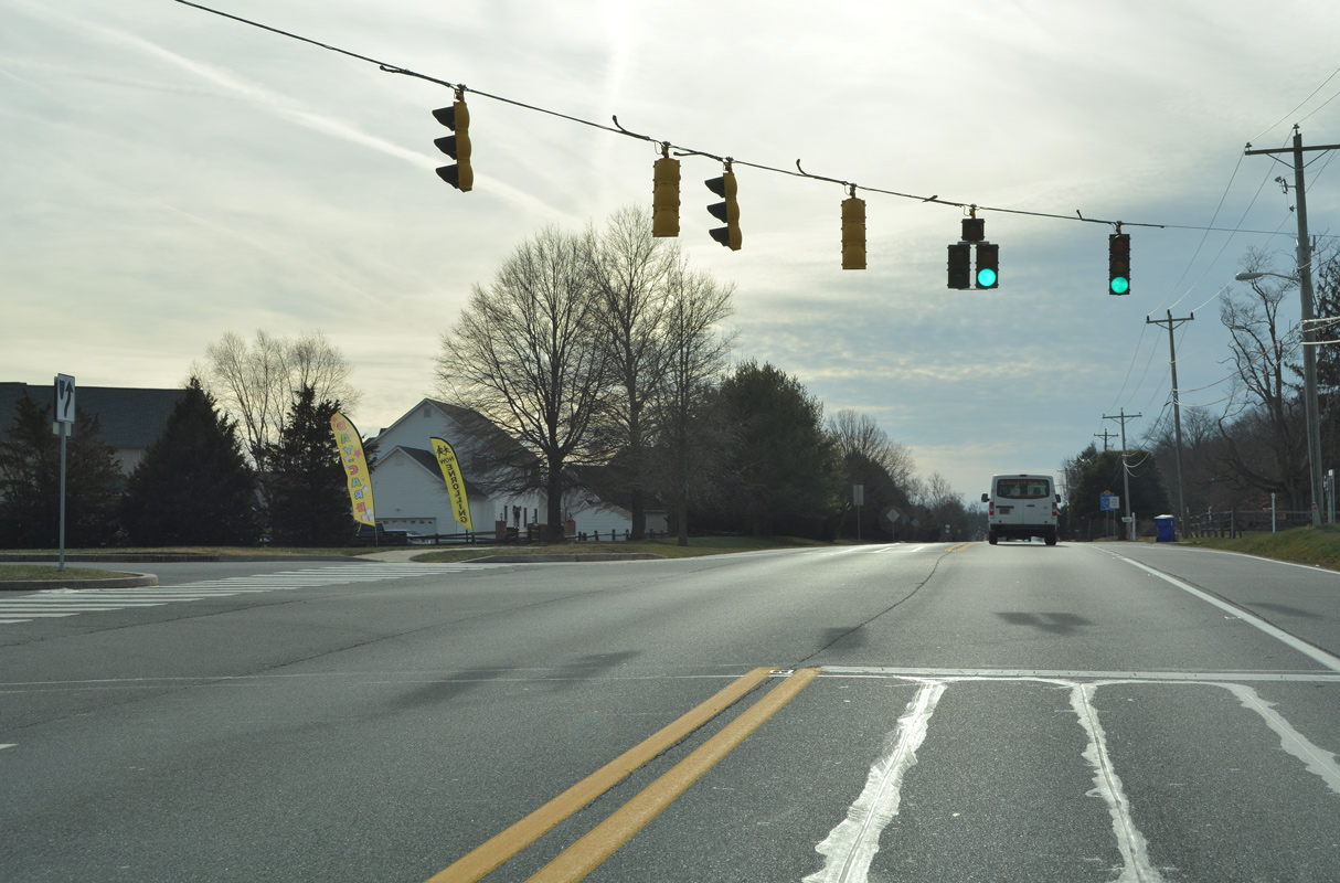
| Red Lion Road continues south from the angled intersection with Bear Corbitt Road through a mix of suburban development and wood lands. The confirming marker posted south of SR 7 was removed by 2022. 12/30/16 |
|
| Old Porter Road (Road 383) branches 1.37 miles west from SR 71 (Red Lion Road) to Porter Road (Road 48). Traffic lights were added at this intersection in 2018. 12/26/22 |
|
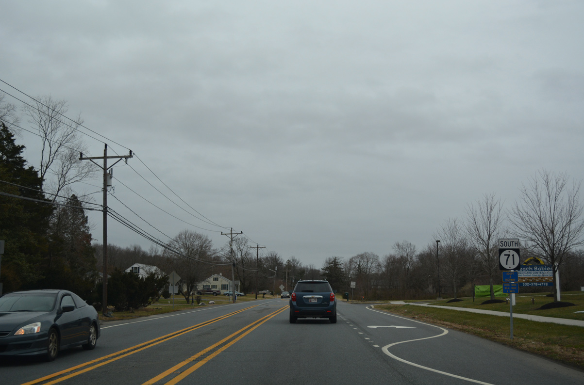
| Formerly set to flash outside of school hours, the succeeding traffic light on SR 71 (Red Lion Road) south is for a private academy. The state route continues south by the Estates of Red Lion subdivision to SR 72. 12/26/22 |
|
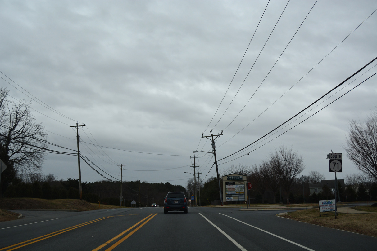
| 1.91 miles south of SR 7, SR 71 (Red Lion Road) intersects SR 72 (Wrangle Hill Road). 12/26/22 |
|
| A 15.89 mile long route, SR 72 arcs northwest from SR 9 outside Delaware City, to Wrangle Hill, SR 71, U.S. 40 (Pulaski Highway) at Frasers Corner and the city of Newark. 12/26/22 |
|
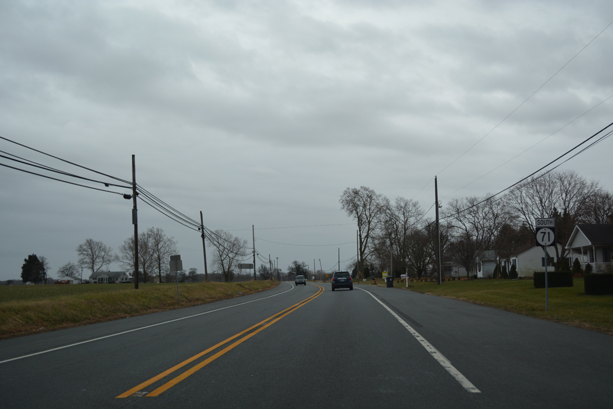
| South of SR 72, a distance sign referenced Middletown at 13 miles out. The assembly was removed by 2014. Red Lion Road passes by the Caravel Hunt subdivision en route to Kirkwood. 01/02/08 |
|
| Howell School Road (Rd 54) stems west from SR 71 (Red Lion Road) at Kirkwood across the northern periphery of Lums Pond State Park to SR 896 (Summit Bridge Road). 12/28/20 |
|
| Curving southwest along SR 71 (Red Lion Road) around Lums Pond State Park. The park offers opportunities for camping, hiking, fishing and boating in addition to ball fields and tennis courts. 12/28/20, 01/02/08 |
|
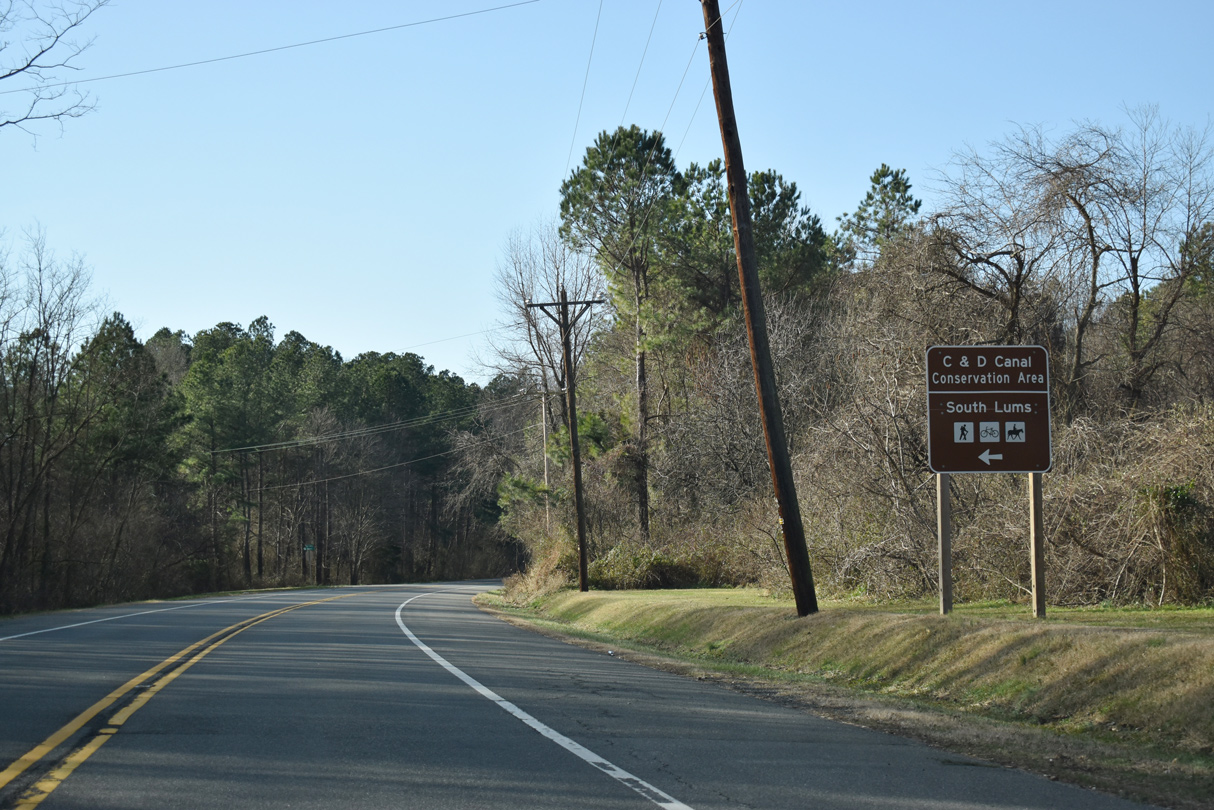
| Old Summit Road (Rd 404) loops south from SR 71 to C & D Canal Conversation Area. The 0.80 mile long loop represents former alignments of SR 71 and SR 896 to the original Summit Bridge. 12/28/20 |
|
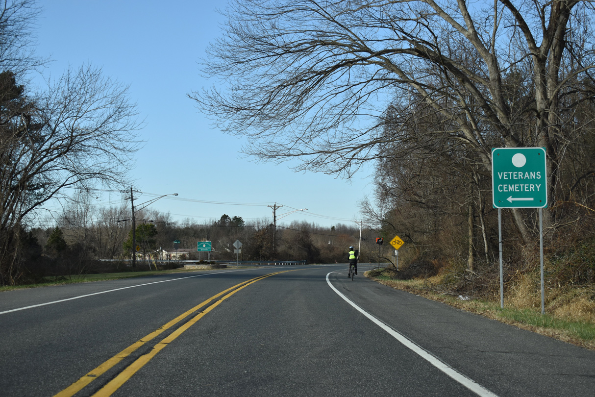
| Turning northwesterly, SR 71 (Red Lion Road) nears the intersection with Chesapeake City Road west. Chesapeake City Road (Rd 399) passes over SR 71-896 (Summit Bridge Road) en route to the Delaware Veterans Memorial Cemetery and MD 285 (Biddle Street) to Chesapeake City. 12/28/20 |
|
| Red Lion Road concludes northwest at SR 896 (Summit Bridge Road) across from Brennan Boulevard. SR 896 travels north to Glasgow and south alongside SR 71 to Mount Pleasant. 12/26/17 |
|
| U.S. 301 overlapped with SR 896 north to U.S. 40, where it ended until January 2019. SR 896 continues from there to I-95 in south Newark. SR 71/896 combine southward across the Summit Bridge. 12/28/20 |
|
| Brennan Boulevard comprises the lone entrance from SR 71 and SR 896 to the Brennan Estates community. Developed in the 1990s, the neighborhood spreads west from Summit Bridge Road to Denny Road (Rd 396). 12/28/20 |
|
| A lone SR 71 shield stood just south of the SR 896 intersection with Red Lion Road and Brennan Boulevard. The assembly was removed during reconstruction of the Summit Bridge approach in 2008. A concrete barrier was added between the two roadways during that work. 04/04/04 |
|
| SR 71/896 travel along a two mile stretch of limited access highway along the Summit Bridge approaches and span. 12/26/16 |
|
| Chesapeake City Road (Rd 399) passes over the expressway as it leads west from SR 71 to MD 285 and North Chesapeake City. 12/28/20 |
|
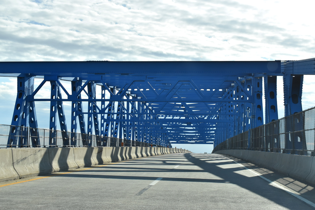
| The U.S. Army Corps of Engineers maintains the Summit Bridge. The span opened to traffic on January 9, 1960 to replace a lift bridge linking SR 71/896 with the community of Summit Bridge to the east. 12/28/20 |
|
| The four lane continuous steel thru truss bridge across the Chesapeake and Delaware Canal was repainted from gray to blue in 2012. 12/28/20 |
|
| The Summit Bridge received the American Institute of Steel Construction award as the most beautiful bridge in 1960. 12/28/20 |
|
| Measuring 2,058 feet in length, the Summit Bridge crests 138 feet above the C & D Canal.2 12/28/20 |
|
| SR 71/896 lowers from the Summit Bridge and makes an abrupt turn at the intersection with SR 15 (Bethel Church Road). Truckers are advised of the forthcoming curve as the state route pair shift east toward Summit Airport (EVY). 12/28/20 |
|
| SR 15 commences a 57 mile long route southward from Summit Bridge through a mixture of farm land and suburban areas to the west side of Middletown. 12/28/20 |
|
| Bethel Church Road leads SR 15 west 0.84 miles to a roundabout with SR 286 and Choptank Road south. SR 286 forms a multi state route with MD 286 west to Chesapeake City, Maryland. 12/28/20 |
|
| Prior to 1993, SR 15 ended at U.S. 301/SR 299 south of Middletown. The extension to Summit Bridge overlaid previously unnumbered routes on a parallel alignment west of SR 71/896. The state route makes a number of turns along its southward course to Clayton, Dover and Milford. 12/28/20 |
|
| Until January 2, 2003, the traffic signals along SR 71/896 (Summit Bridge Road) at SR 15 (Bethel Church Road) were set to flash yellow.3 The proposed alignment of Section 4 (Spur Road) for the U.S. 301 Toll Road project involves replacing the at-grade intersection with Bethel Church Road with back to back wye interchanges for both the Spur Road south to Middletown and SR 15. 12/26/16 |
|
| Confirming markers for SR 71/896 south posted after SR 15 and before Summit Bridge Drive and the Summit Bridge Farms subdivision. 12/28/20 |
|
| Summit Bridge Road curves back to the south alongside Summit Airport (EVY). SR 71 south reaches Middletown in six miles. U.S. 301 heads southwest 60 miles to the Chesapeake Bay Bridge (U.S. 50). 12/28/20 |
|
| Old Summit Bridge Road (Rd 63) connects SR 71/896 with the settlement of Summit Bridge and several subdivisions on both sides of Bethel Church and Lorewood Grove Roads. This was the alignment of SR 71 prior to 1960. 12/28/20 |
|
| Reassurance shields posted south of Old Summit Bridge Road. Summit Bridge Road advances another 1.4 miles to Mount Pleasant. 12/26/16 |
|
| A traffic light operates at the south end of Summit Airport (EVY) and Victoria Drive east to the Summit Pond subdivision. 12/28/20 |
|
| The first in a series of guide signs for the pending split of SR 896 (Boyds Corner Road) south from SR 71 (Summit Bridge Road) at Mount Pleasant.
Until 1993, Boyds Corner Road represented the U.S. 301 mainline between Summit Bridge Road and U.S. 13 (Dupont Parkway). 12/28/20 |
|
| SR 71 remains south along Summit Bridge Road another 4.10 miles from Mount Pleasant to N Broad Street at Middletown Warwick Road (old U.S. 301) in Middletown. 12/28/20 |
|
| Strip malls, gas stations and other businesses built alongside Summit Bridge Road at Mount Pleasant resulted in the addition of a traffic light in 2008. 12/28/20 |
|
| SR 71 (Summit Bridge Road) part ways with SR 896 (Boyds Corner Road) south. SR 896 continues another 3.52 miles east to U.S. 13 (Dupont Parkway). 12/28/20 |
|
| Churchtown Road (Rd 432) stems 3.82 miles west from SR 71/896 by a number of large lot housing developments to the state line. MD 310 (Cayots Corner Road) extends the road west to St. Augustine and MD 213 at Cayots. 12/26/16 |
|
| SR 896 (Boyds Corner Road) constitutes a growing suburban route east through the Bayberry community. SR 896 concludes in 3.52 miles at U.S. 13, just west of the exchange joining Pole Bridge Road (Rd 420) with SR 1 (Korean War Veterans Memorial Highway). 12/28/20 |
|
| Leading south from SR 896 (Boyds Corner Road) and Churchtown Road in Mount Pleasant. SR 71 (Summit Bridge Road) reduces to two lanes ahead of Middletown. 12/28/20 |
|
| Old School House Road (Rd 431) heads 1.69 miles southwest from SR 71 (Summit Bridge Road) to Choptank Road (SR 15) ahead of this reassurance marker. 12/28/20 |
|
| U.S. 301 (First Responders Memorial Highway) passes over Summit Bridge Road just north of Armstrong Corner Road (Rd 429) north of Middletown. 12/28/20 |
|
| A dumbbell interchange and access road links SR 71 (Summit Bridge Road) with the toll road along U.S. 301 just to the west. 12/28/20 |
|
| U.S. 301 (First Responders Memorial Highway) bypassing Middletown southwest from SR 1 at Biddles Corner opened to traffic on January 10, 2019. 12/28/20 |
|
| Armstrong Corner Road east and Marl Pit Road (Rd 429) west come together at SR 71 (Summit Bridge Road) from the suburban outskirts of Middletown. 12/28/20 |
|
| SR 71 reassurance marker posted south of Armstrong Corner Road. 12/28/20 |
|
| SR 71 south enters the Middletown limits at Middletown Corporate Center and the Springmill subdivision. 12/26/16 |
|
| Springmill Drive is one of the two entrances to the Springmill subdivision from the ensuing southbound signal on SR 71. 12/28/20 |
|
| SR 71 splits with old U.S. 301 (Middletown Warwick Road) along Broad Street south to Downtown Middletown. 12/28/20 |
|
| Middletown Warwick Road (old U.S. 301) shifts westward and expands into a four lane commercial arterial to SR 15 (Bunker Hill Road) and SR 299 (Main Street) while SR 71 travels south from Downtown toward Townsend. 12/28/20 |
|
| SR 71 joins Middletown with U.S. 13 (Dupont Parkway) south ahead of Smyrna. U.S. 301 (First Responders Memorial Highway) continues southwest from Middletown onto an expressway through the Eastern Shore of Maryland to Queenstown and the Chesapeake Bay Bridge (U.S. 50). 12/28/20 |
|
| SR 71 crosses an adjacent Norfolk Southern Railroad line from Middletown Warwick Road (old U.S. 301) onto N Broad Street. Both roads intersect SR 299 within the next mile. 12/28/20 |
|
| Broad Street advances south from Summit Bridge Road by an industrial area adjacent to the Norfolk Southern Railroad line and Greenlawn Village shopping center. 12/26/16 |
|
| Greenlawn Boulevard connects SR 71 (Broad Street) with the Mill Branch neighborhood to the east. 12/26/16 |
|
| SR 71 (Broad Street) south at Lake Street within the Middletown street grid. This intersection was converted to a two-way stop configuration on September 6, 2016.1 12/26/16 |
|
| Progressing south three blocks, Broad Street approaches SR 299 (Main Street). 12/26/16 |
|
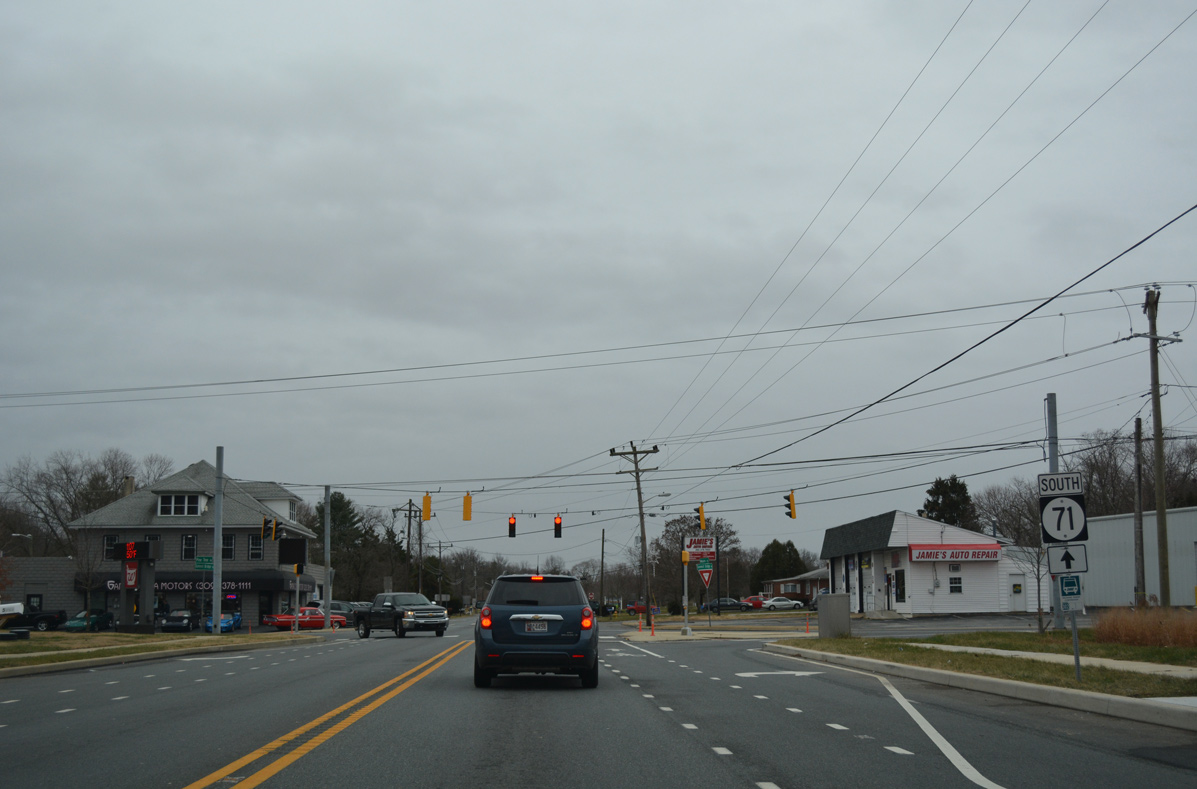
| SR 71 remains along Broad Street south from SR 299 (Main Street) to Lakeside Drive, where Summit Bridge Road resumes. 12/26/16 |
|
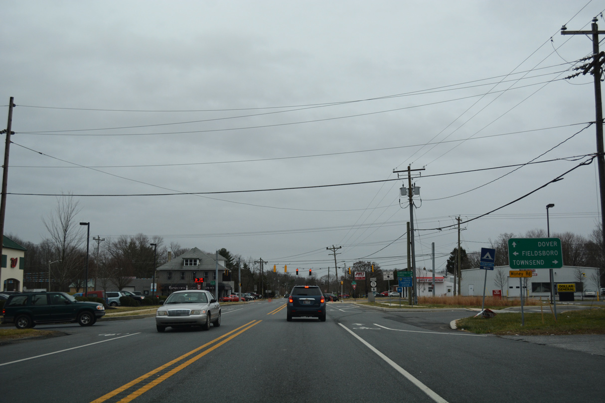
| SR 299 (Main Street) leads west to SR 15 (Bunker Hill Road) and U.S. 301 and east to SR 1 and U.S. 13 in the town of Odessa. 12/26/16 |
|
| Leaving Downtown Middletown along SR 71 (S Broad Street) south. 12/26/16 |
|
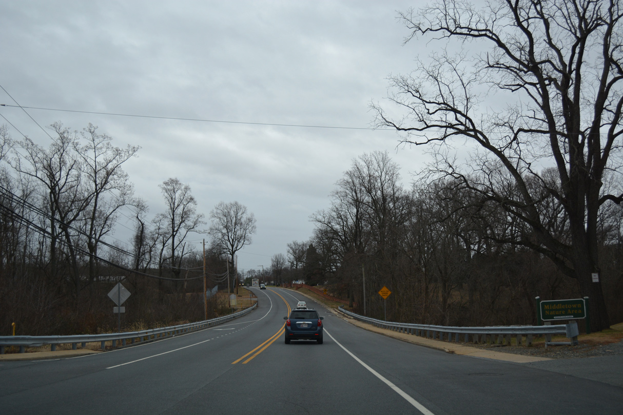
| SR 71 (Summit Bridge Road) crosses Deep Creek at the Middletown Nature Area. 12/26/16 |
|
| St. Annes Church Road arcs west across the suburban south side of Middletown to SR 15 (Levels Road) ahead of this reassurance marker for SR 71. 12/26/16 |
|
| Summit Bridge Road leaves Middletown south of Noxontown Road. A reassurance marker for SR 71 follows at the Deep Branch Farm community. 12/26/16 |
|
| Green Giant Road stems west from SR 71 (Summit Bridge Road) at the subsequent intersection to annexed areas of south Middletown. Summit Bridge Road continues from Green Giant Road toward Townsend. 12/26/16 |
|
| SR 71 (Summit Bridge Road) straddles eastern reaches of the Townsend town limits to Pine Tree Road east and Main Street west. Pine Tree Road ventures northeast to U.S. 13 (Dupont Parkway) at Pine Tree Corners, south of Fieldsboro. 12/26/16 |
|
| Main Street leads west from SR 71 to Downtown Townsend and Caldwell Corner Road. 12/26/16 |
|
| SR 71 (Summit Bridge Road) continues south out of Townsend toward U.S. 13 near Blackbird. 12/26/16 |
|
| Summit Bridge Road travels a rural course south to the Barlow Tract of Blackbird State Forest. The final shield assembly for SR 71 south stands after Ratledge Road. 12/26/16 |
|
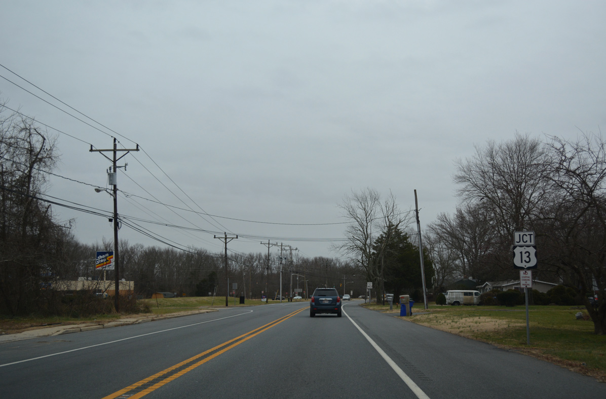
| U.S. 13 and SR 71 converge at the settlement of H & H Corner. Ramps were proposed to link the two routes with SR 1 (Korean War Veterans Memorial Highway) here. 12/26/16 |
|
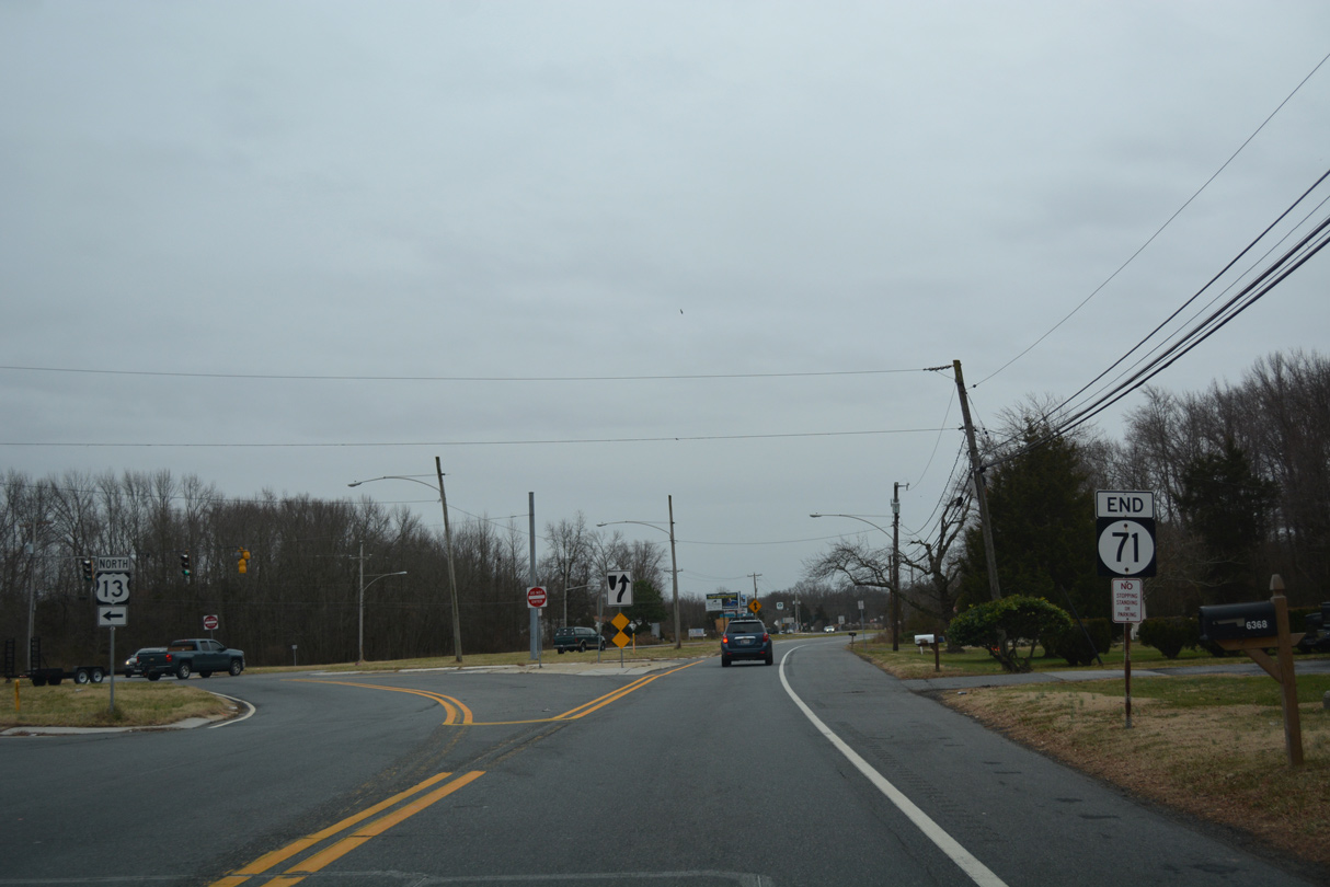
| A signalized left turn takes motorists onto U.S. 13 (Dupont Parkway) north toward Pine Tree Corners. SR 71 otherwise defaults onto U.S. 13 south for the rural drive to Blackbird and Smyrna. 12/26/16 |
|
| SR 71 completes its long loop west from U.S. 13 between Tybouts and H & H Corners with an end sign. 12/26/16 |
04/04/04, 01/02/08, 12/26/16, 12/30/16, 12/26/17, 12/28/20, 12/23/22, 12/26/22 by AARoads
Page Updated 01-07-2023.


 South
South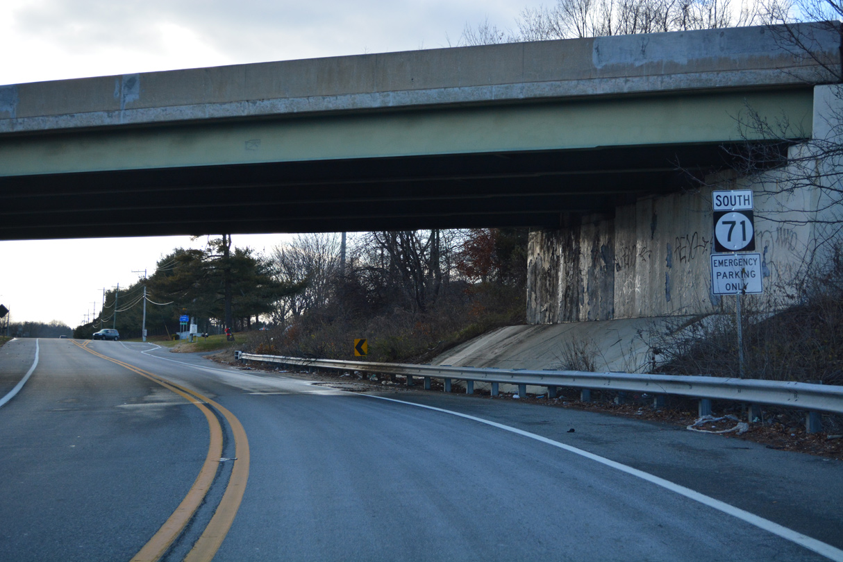


 South
South