|
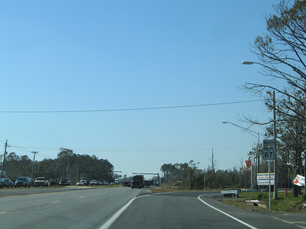
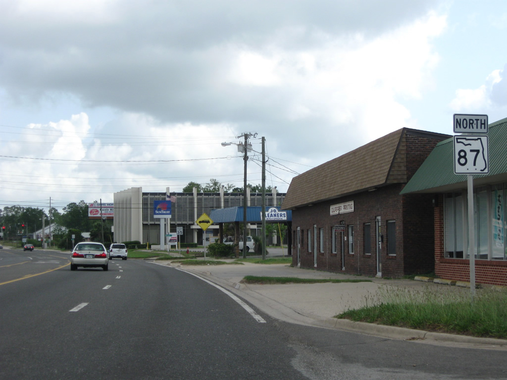
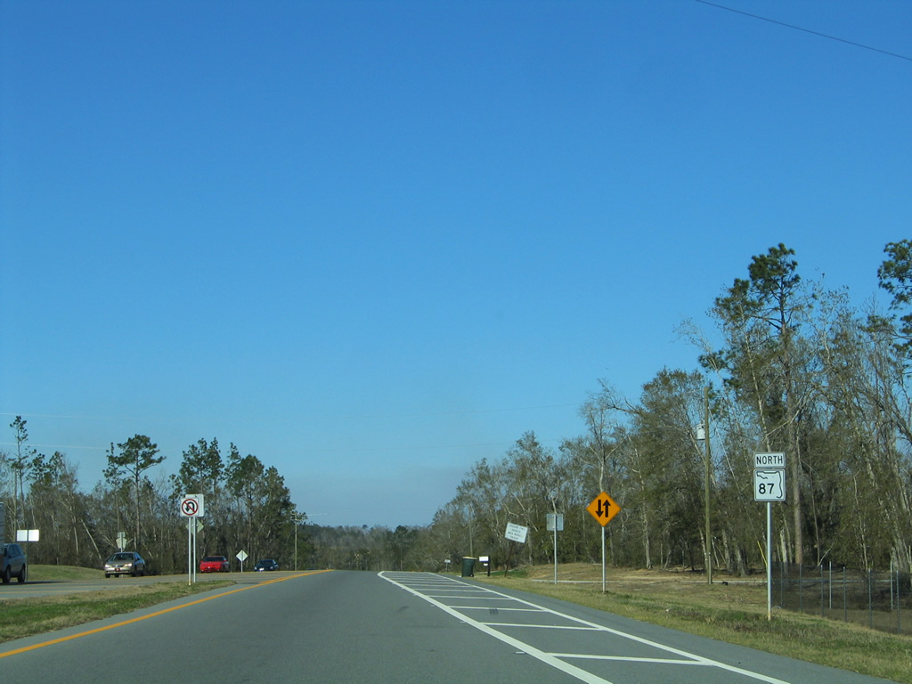
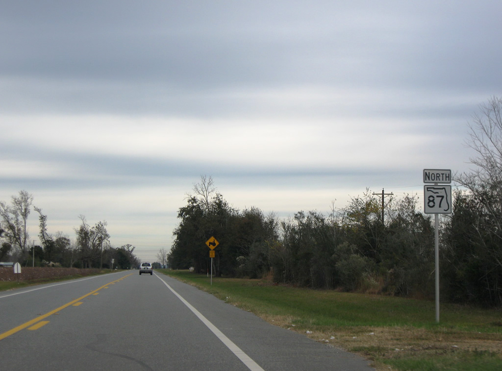
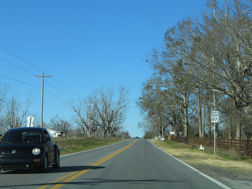
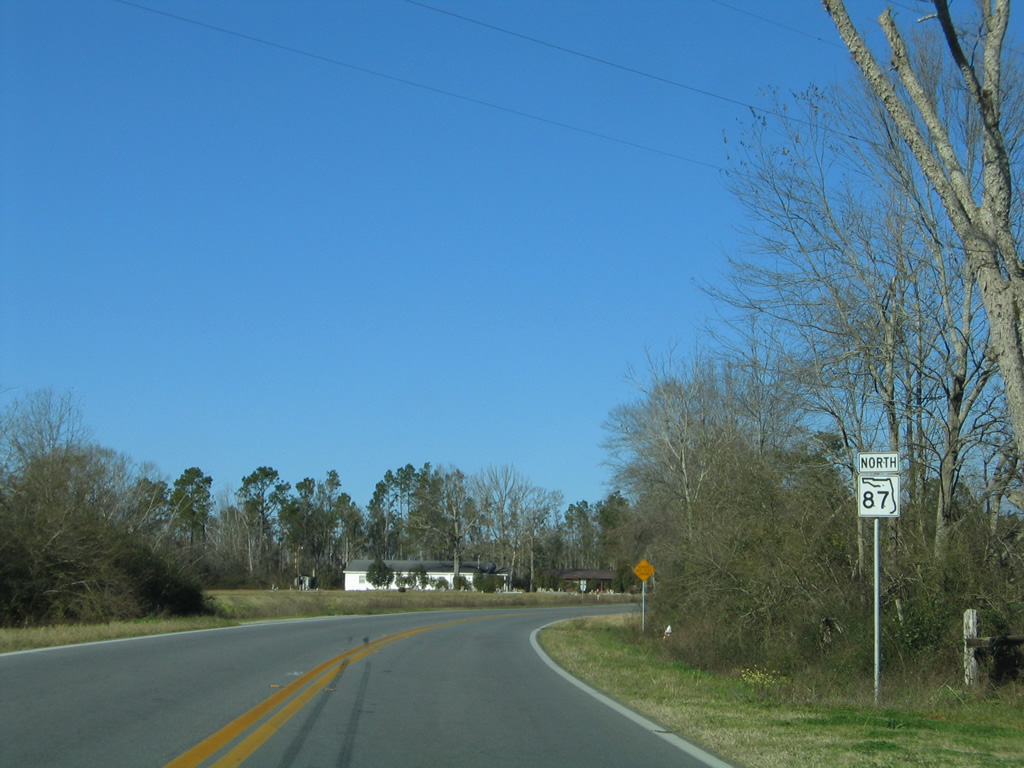
| SR 87 northbound shield that was posted on the wye from U.S. 98 (Navarre Parkway) west to State Road 87 north. 02/09/06 |
|
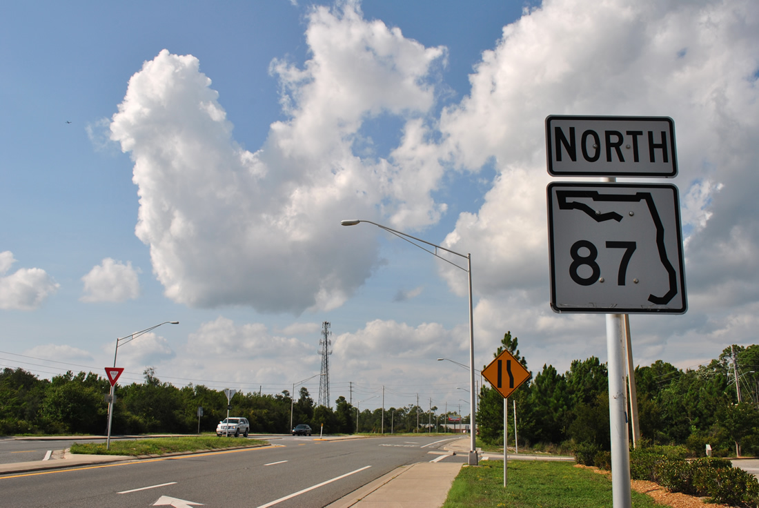
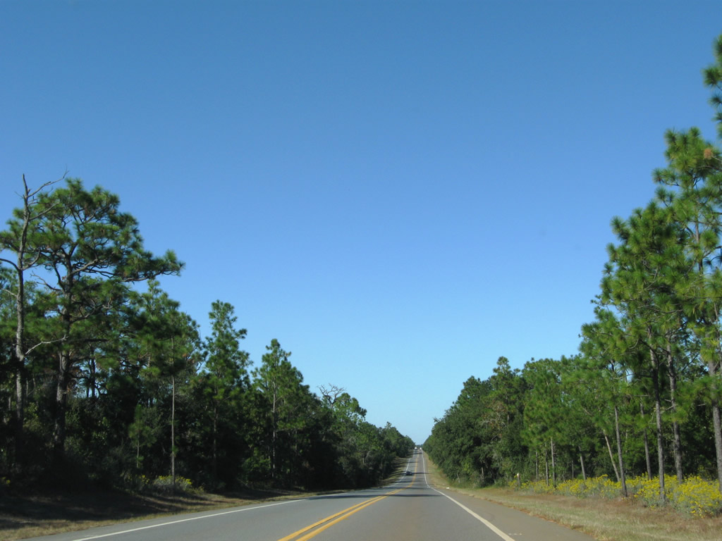
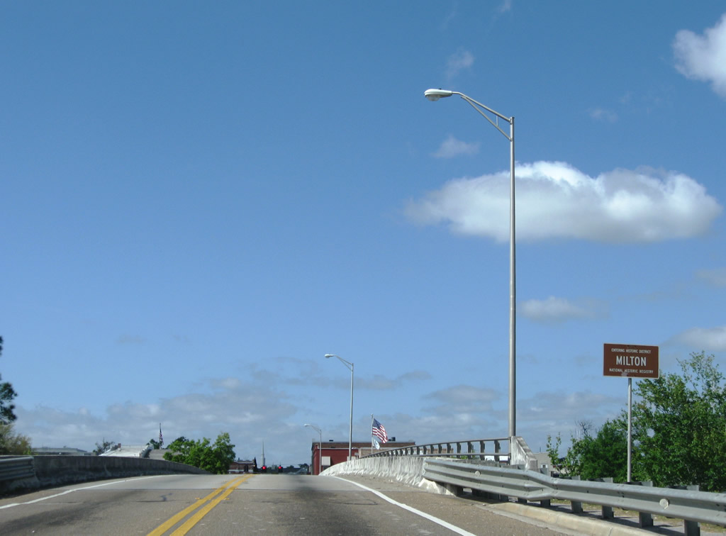
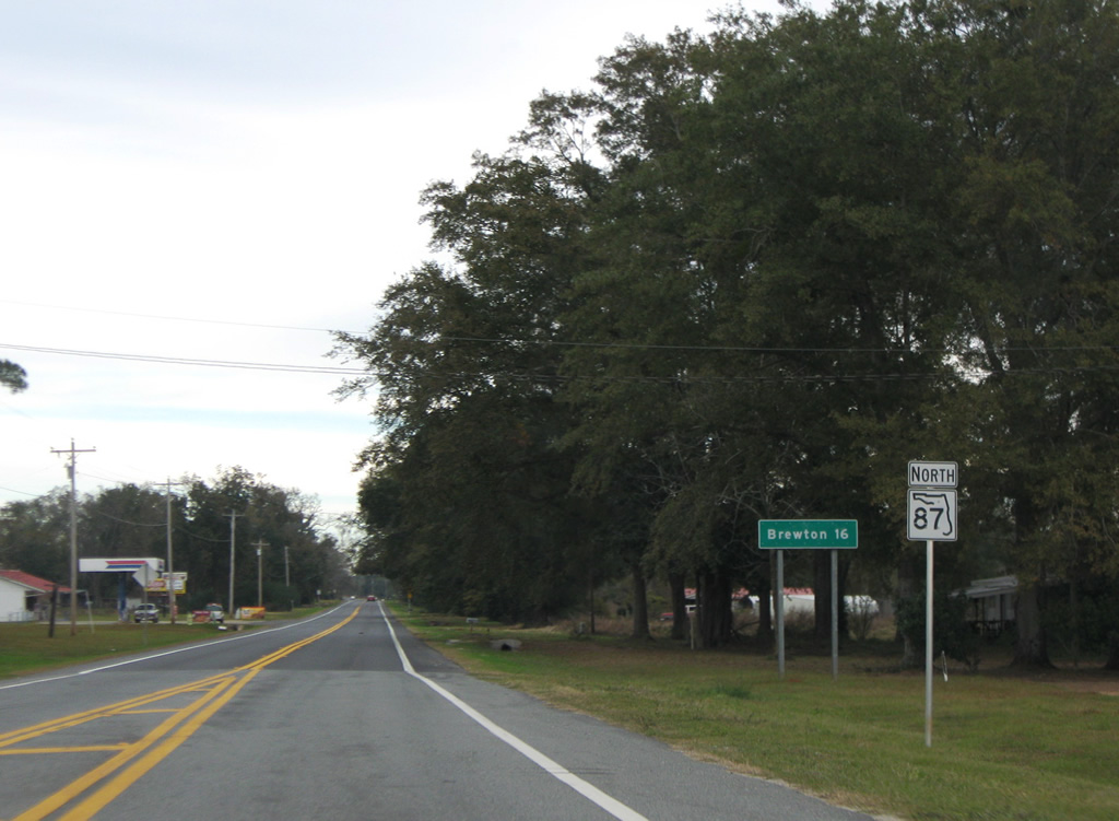
| The first reassurance shield of SR 87 stands along the center leg of the state road near U.S. 98. 08/09/11 |
|
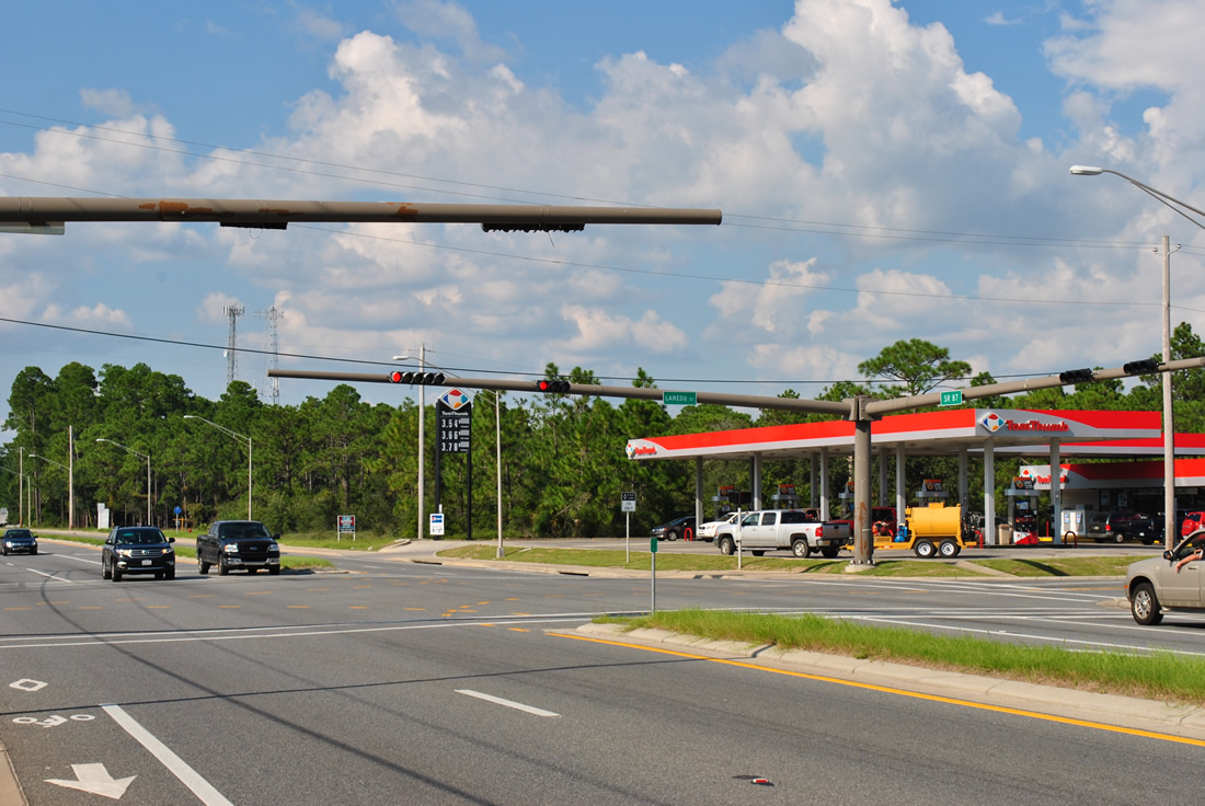
| Laredo Street connects SR 87 with the residential street grid of Navarre both west and east of the state road. 08/25/12 |
|
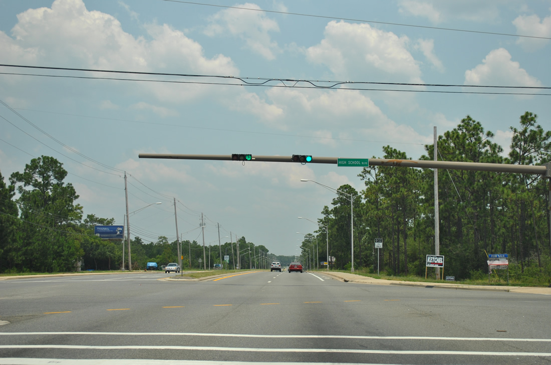
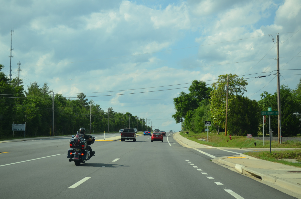
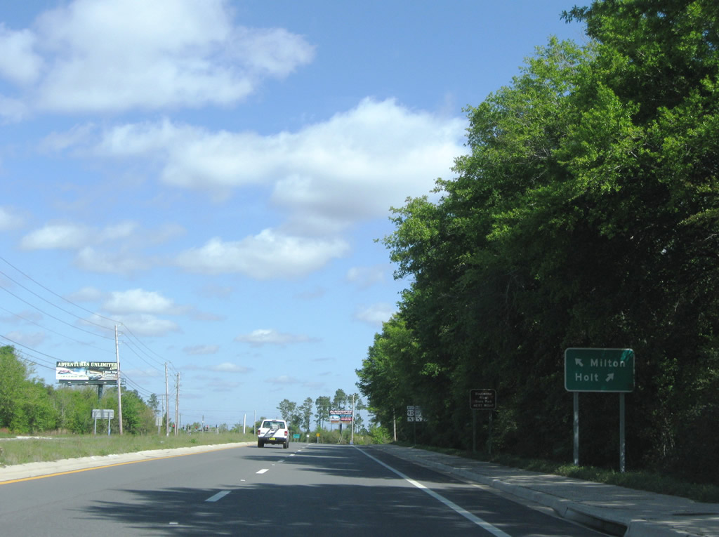
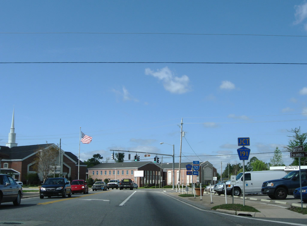
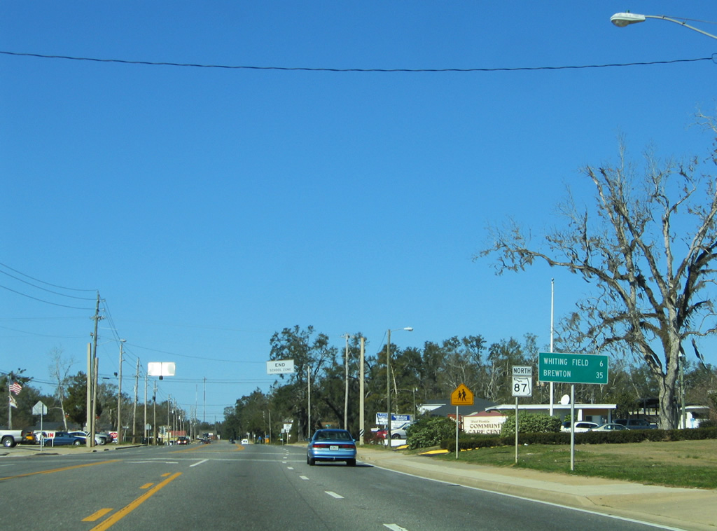
| The second northbound traffic light along SR 87 in Navarre regulates movements with High School Boulevard east. High School Boulevard stems east to Navarre High School and Navarre Sports Complex, ending at the intersection with Ortega Street and Deer Lane east. 05/26/12 |
|
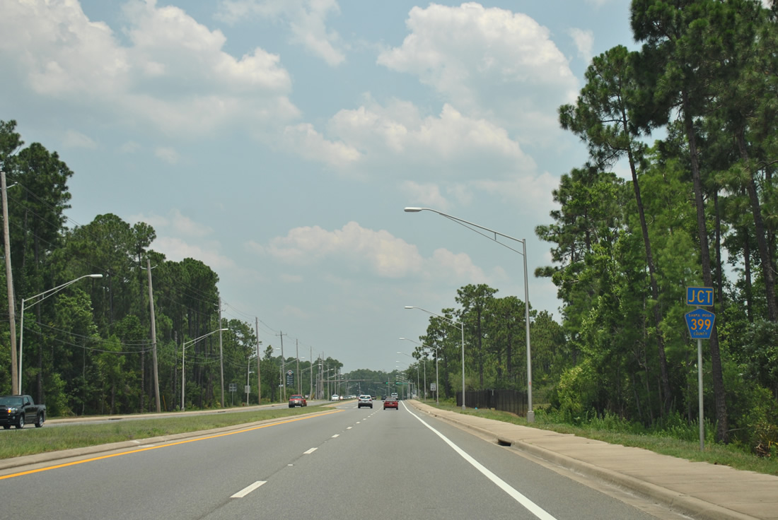
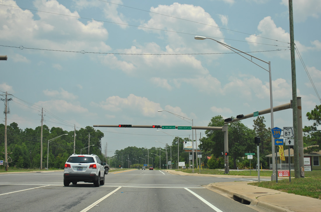
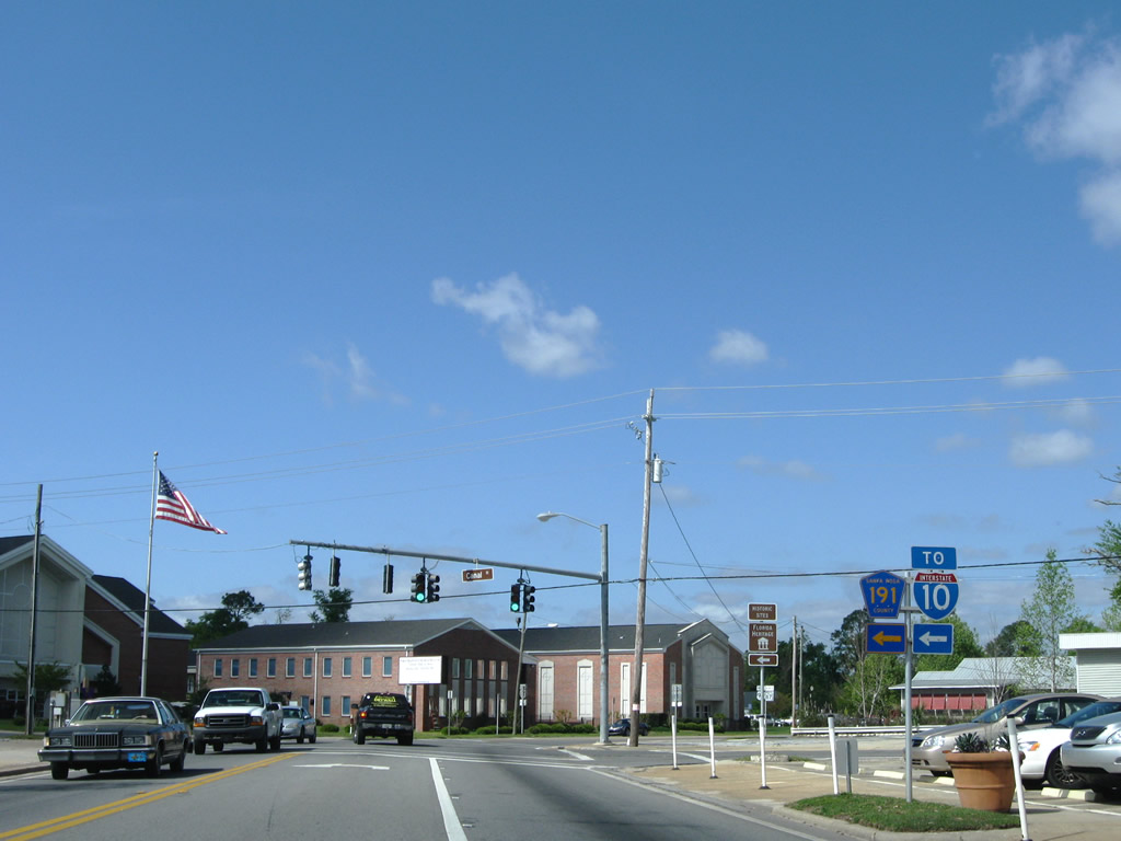
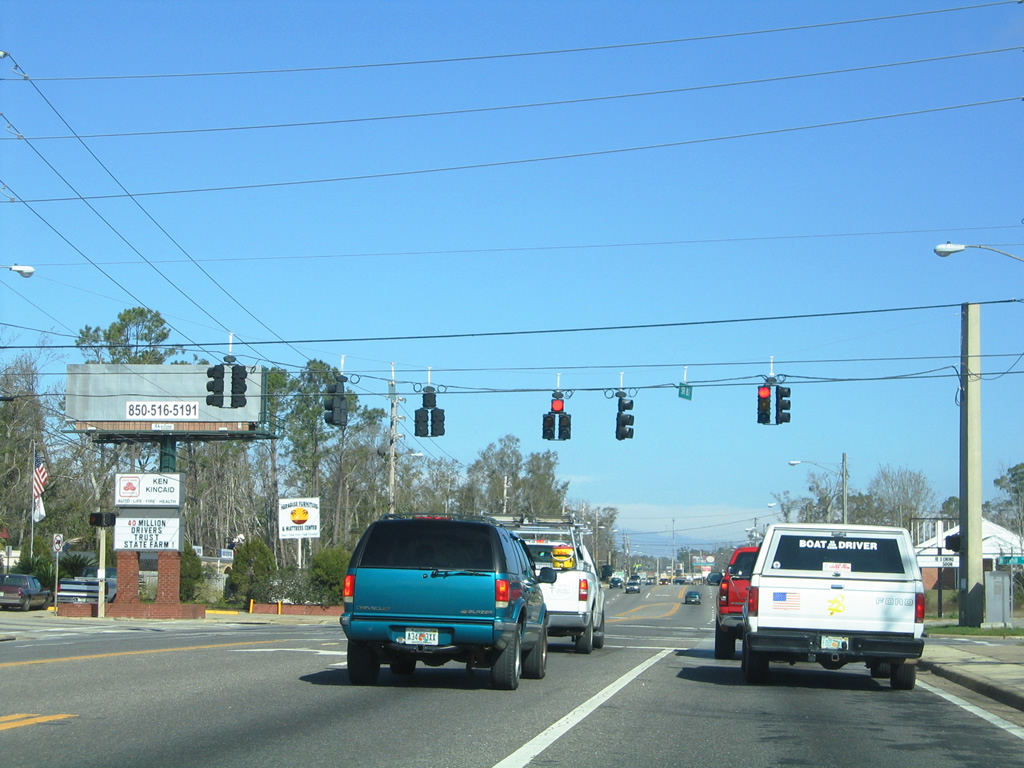
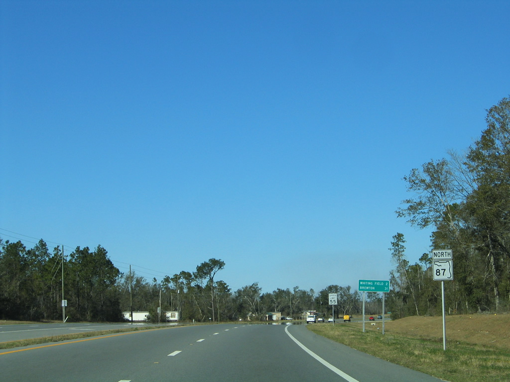
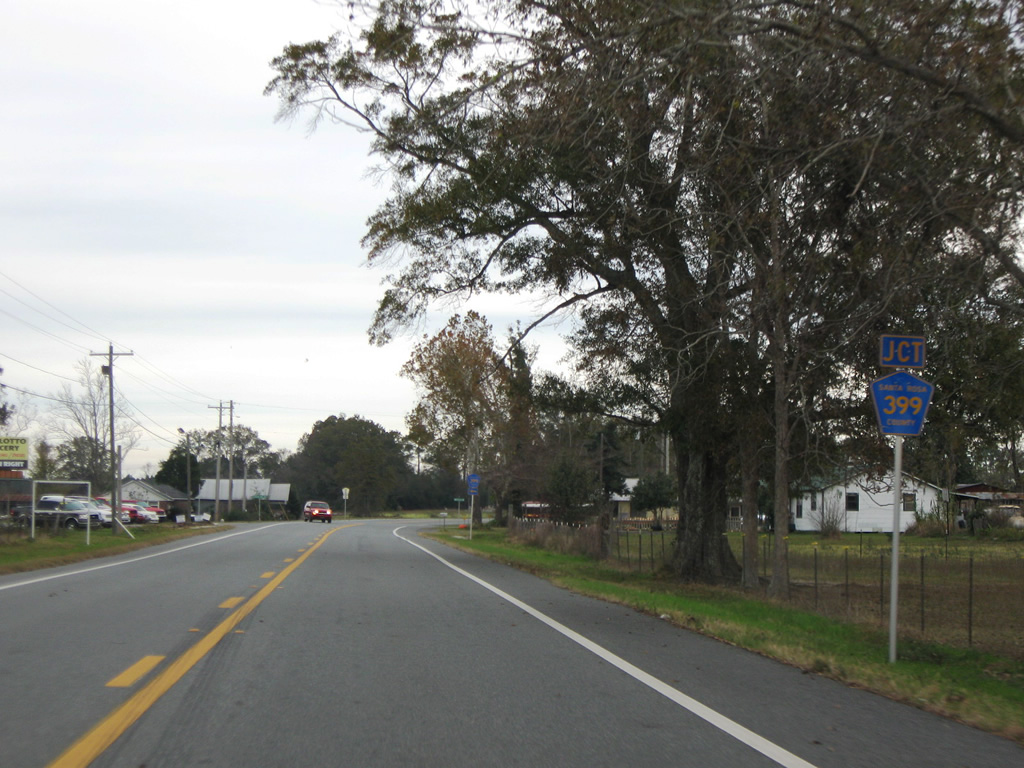
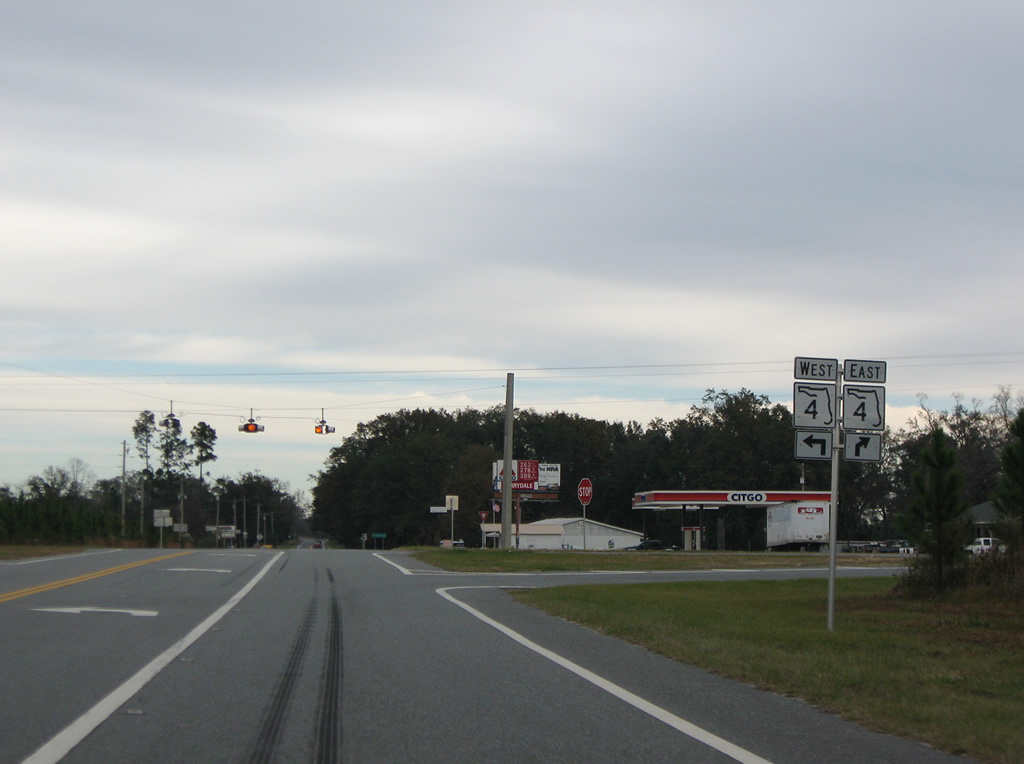
| Nearing the westbound beginning of Santa Rosa County Road 399 (East Bay Boulevard) on SR 87 north in Navarre. Turkey Bluff Road ties into the signalized intersection from the east. 05/26/12 |
|
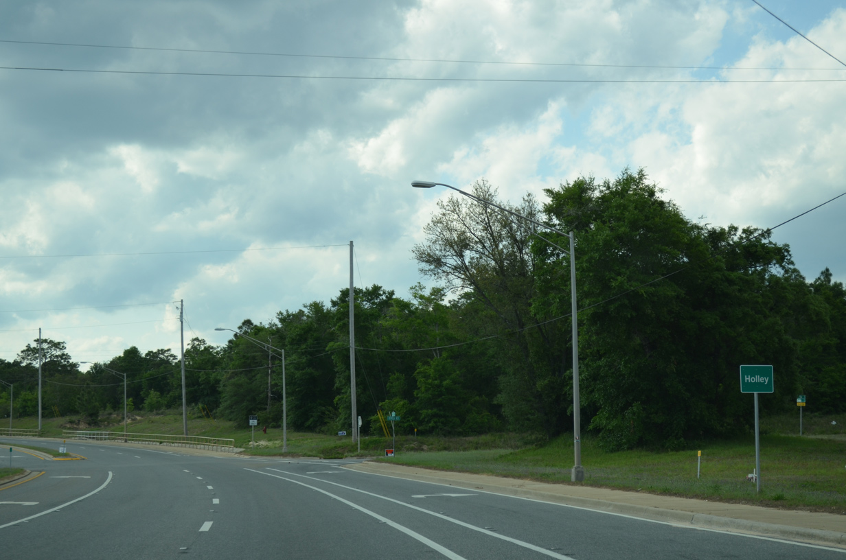
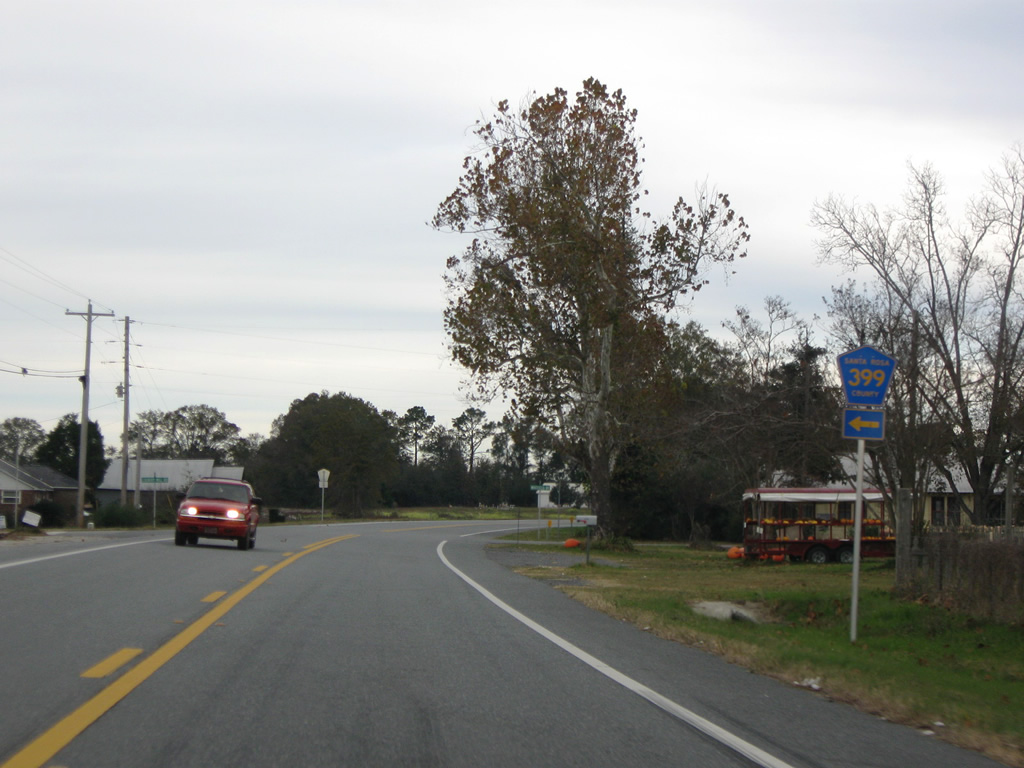
| East Bay Boulevard carries all of Santa Rosa County Road 399 west to NOFL Holley and U.S. 98 at Midway. County Road 399 straddles the shores of East Bay Boulevard, 9.871 miles west, and circumvents Holley By The Sea. 05/26/12 |
|
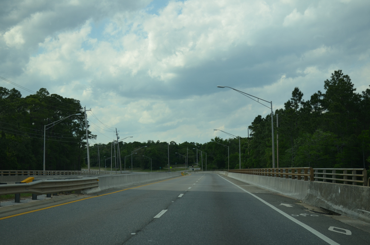
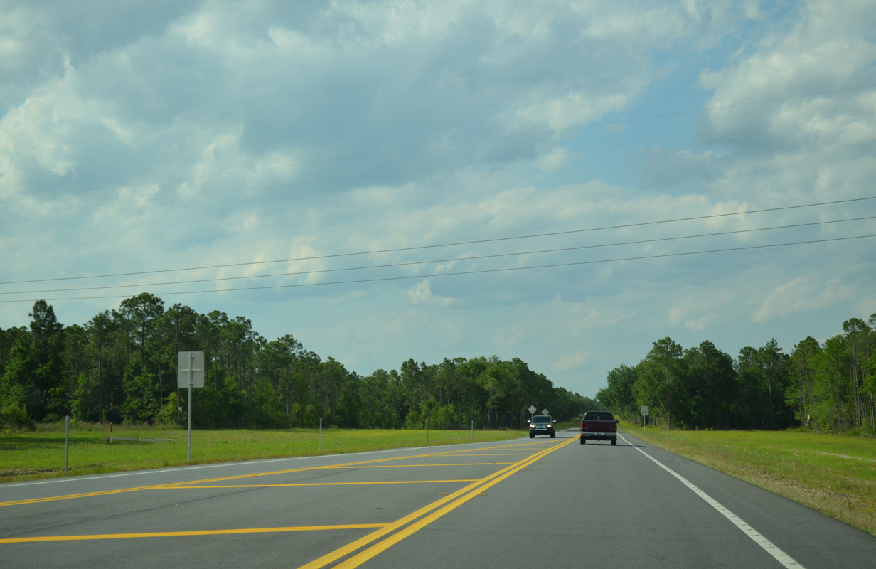
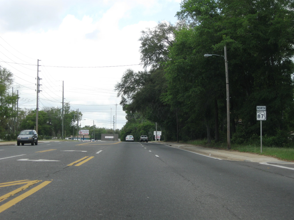
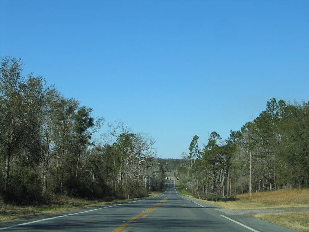
| Continuing north, SR 87 maintains four overall lanes with a 45 mph speed limit and bike lanes striped on outside shoulders. 05/16/14 |
|
| Spanning the East Bay River on SR 87 north after the westbound curve at Harper. A boat ramp and pier lies below the west side of the crossing. 05/16/14 |
|
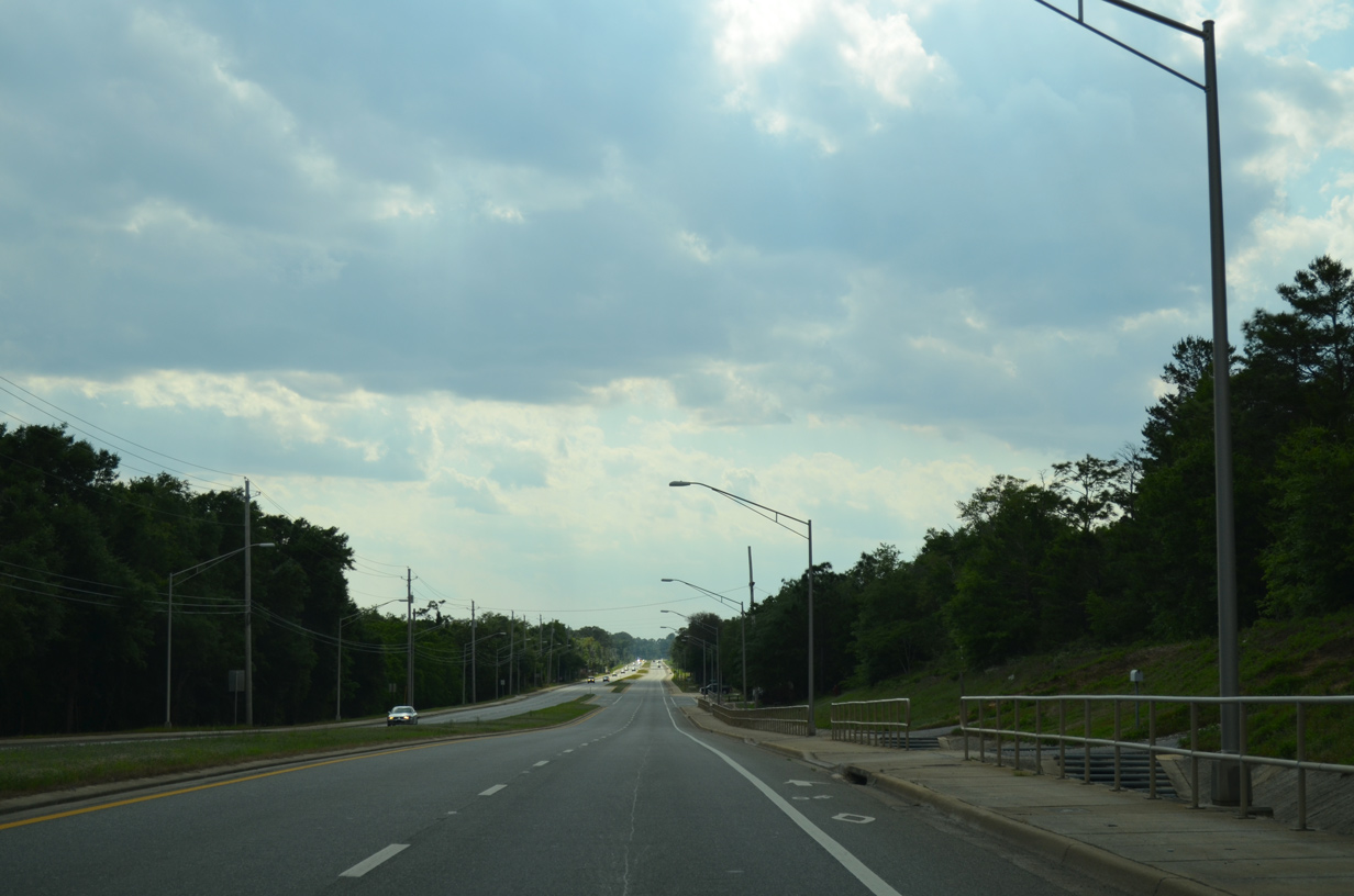
| SR 87 enters the unincorporated Holley community on the westward swing around East Bay. 05/16/14 |
|
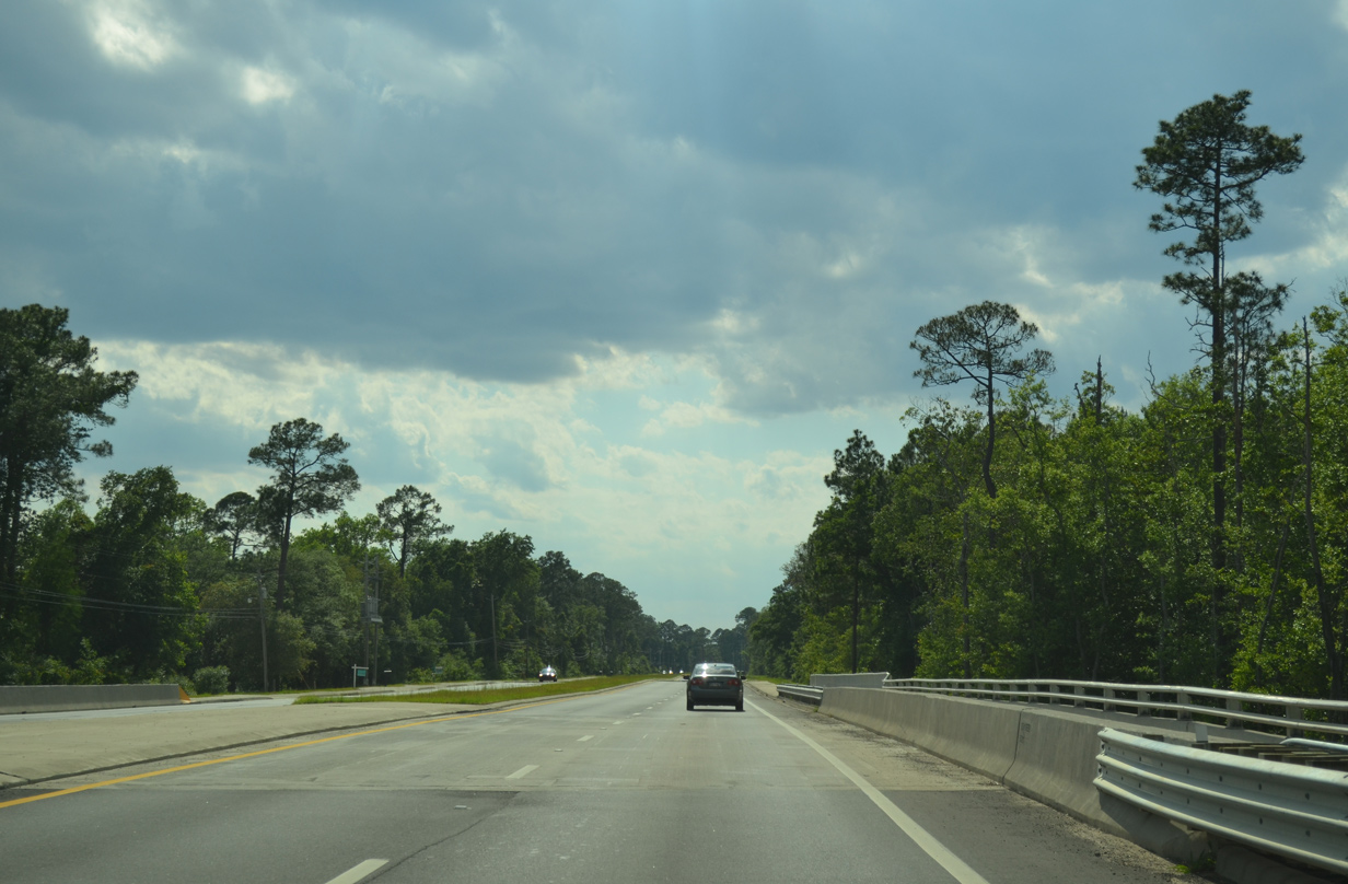
| The state road previously reduced to two lanes from near Dean Creek through Holley to the Eglin Air Force Base boundary. Widening of the highway commenced in September 2010. Work was to be completed by the end of 2012, but an extension of work continued construction to summer 2013. 05/16/14, 11/18/14 |
|
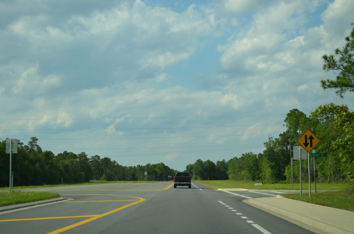
| Ascending toward Elgin Air Force Base from Holley on SR 87 northbound. Gordon Evans Road spurs west to Chimney Cove on East Bay. Bob Tolbert Road loops southeast to State Road 87 through Elgin A.F.B. land. 05/16/14 |
|
| SR 87 transitions from the 2013-completed four lane urban arterial section into a two lane rural highway north from Vonnie Tolbert Road into Eglin Air Force Base. 05/16/14 |
|
| Choctaw Field Road spurs west from SR 87 within Eglin A.F.B. to NOLF Choctaw and Grassy Point Park. This is the only marked intersection within the military reservation along the state road. 12/24/10 |
|
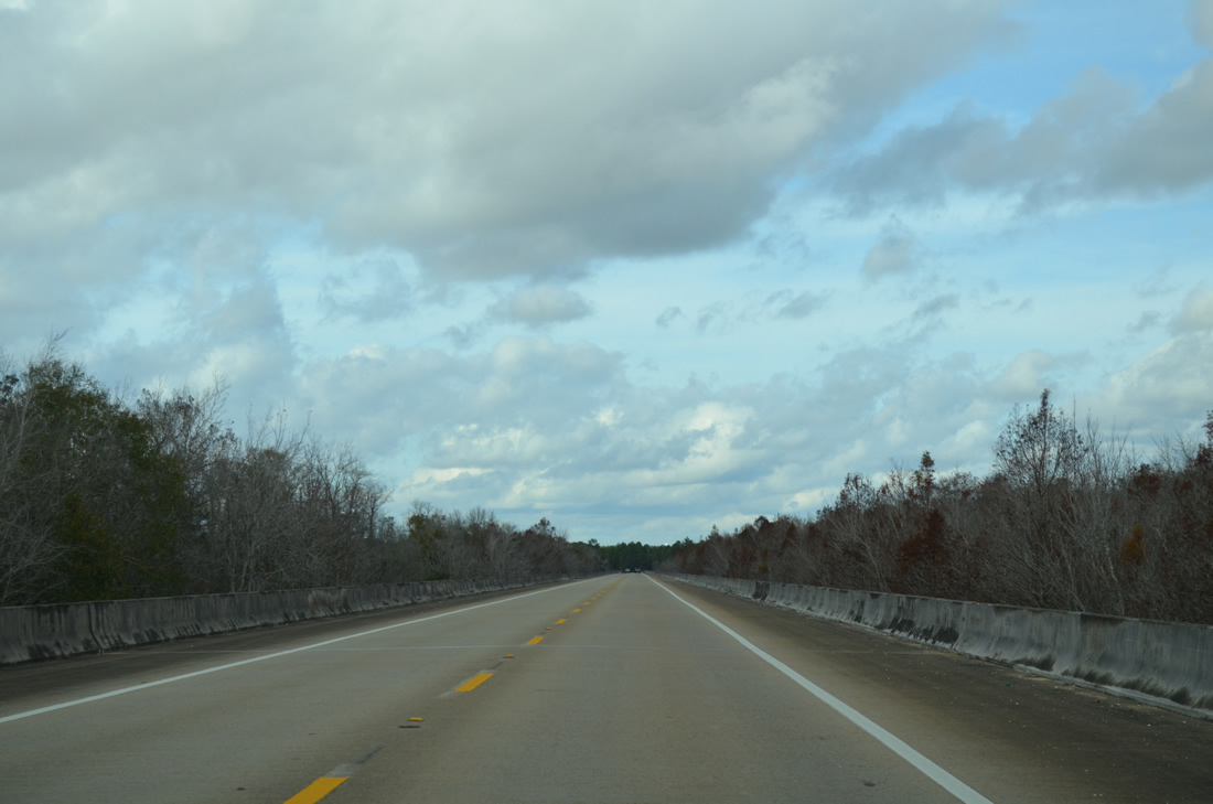
| Low rolling hills are part of the landscape along SR 87 north between Choctaw Field Road and the viaduct over the Yellow and Dead Rivers. 11/01/08 |
|
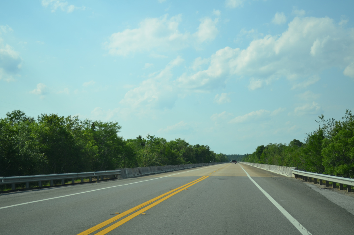
| SR 87 reaches the 4,750-foot span across the Yellow and Dead Rivers. This bridge was built in 1984 and it carried 7,400 vehicles per day in 2008. 05/16/14, 12/09/12 |
|
| Widening of State Road 87 from County Road 184 (Hickory Hammock Road) northward to U.S. 90 was completed in 2006. This view shows the southbound (original) lanes configured for two-way traffic. 02/09/06 |
|
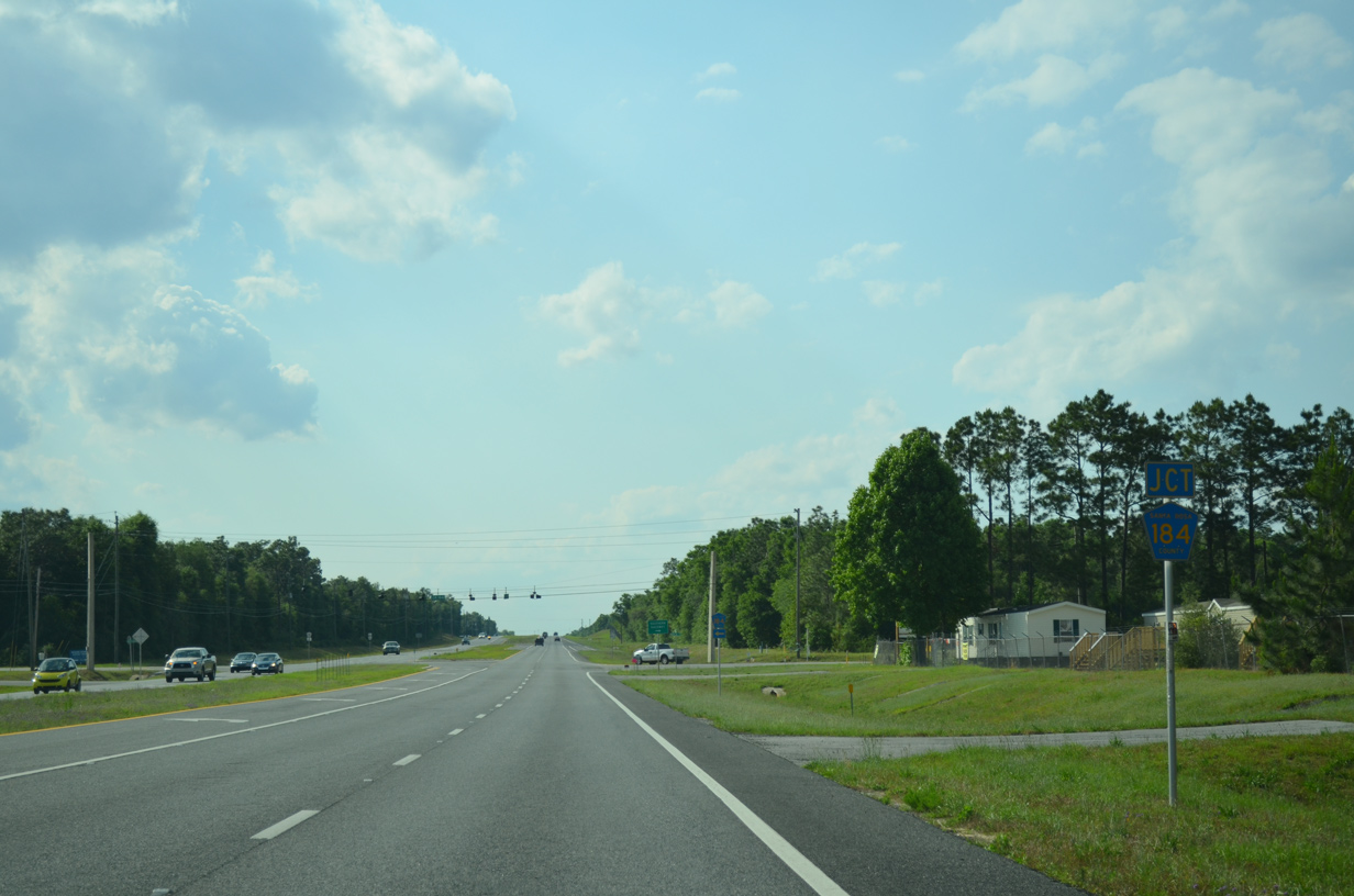
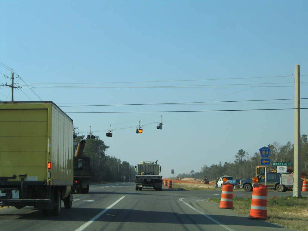
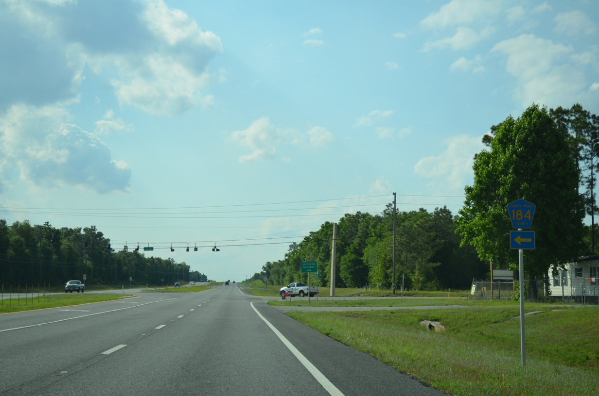
| SR 87 emerges from the Eglin A.F.B. forest and meets CR 184 (Hickory Hammock Road) opposite Nichols Road. Much of Eglin is forested as the base was a part of Choctawatchee National Forest originally. 05/16/14 |
|
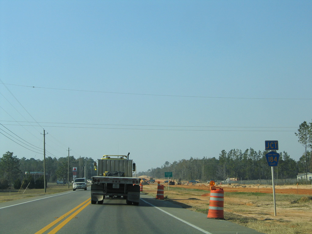
| CR 184 follows Hickory Hammock Road west 3.338 miles to CR 89 (Ward Basin Road) at Wards Basin. The county road offers an alternative to East Milton in lieu of SR 87 north to U.S. 90. Nichols Lake Road spurs east to Southern Raceway and a handful of rural subdivisions. 02/09/06 |
|
| Flashers at SR 87 and CR 184 (Hickory Hammock Road) were replaced with traffic lights in 2014. 05/16/14 |
|
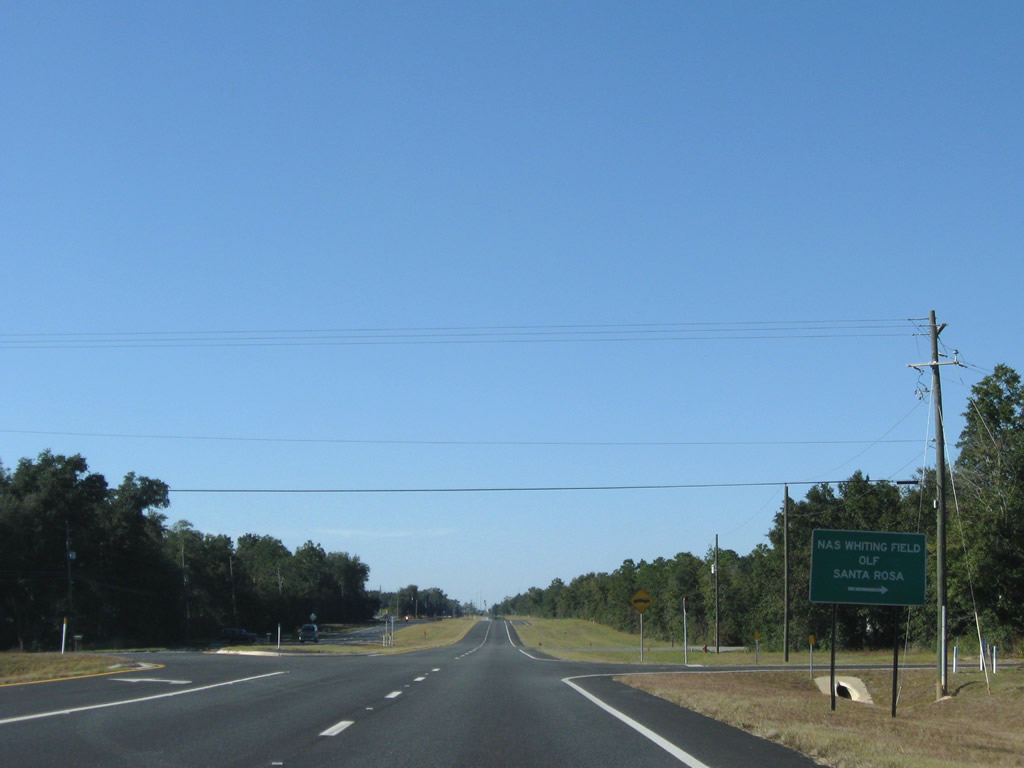
| SR 87 continues northwest by NAS Whiting OLF Santa Rosa to Welcome. 02/09/06, 08/03/11 |
|
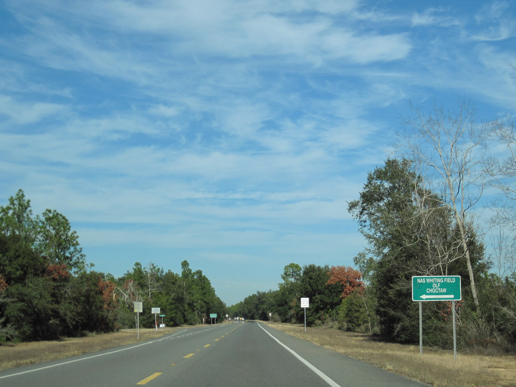
| State Road 87 north at the access road to OLF Santa Rosa and Fortunate Road west. 11/01/08 |
|
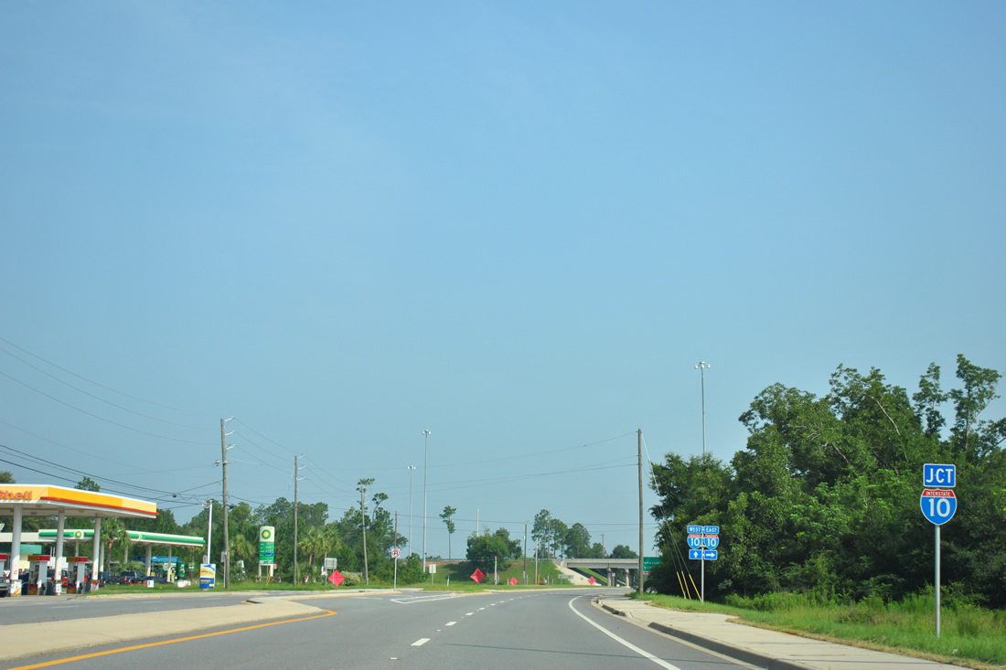
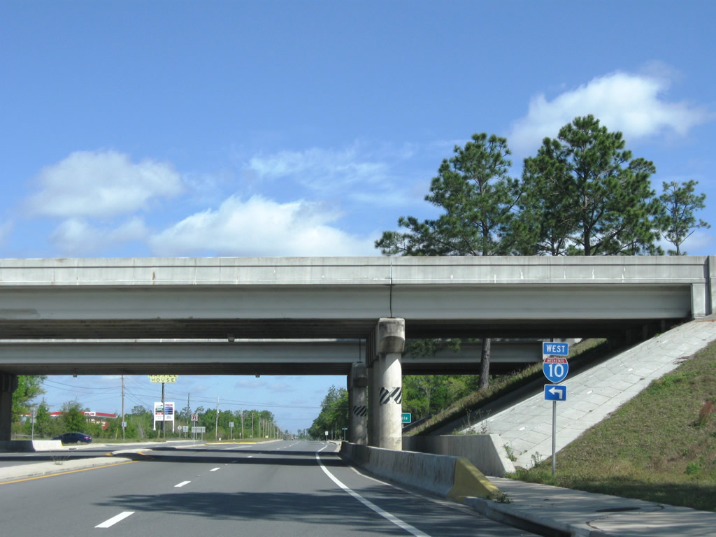
| Nearing the diamond interchange with Interstate 10 (Exit 31) at the community of Welcome. 08/03/11 |
|
| Interstate 10 leaves the Milton area along a 14 mile exit less stretch to CR 189 at Holt. 08/03/11 |
|
| There are very few interchanges along I-10 between Exit 31 and 85 due to the proximity of the northern reaches of Eglin A.F.B. 08/03/11 |
|
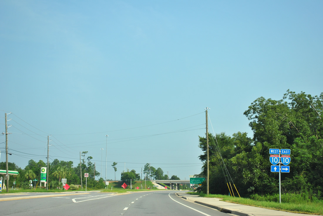
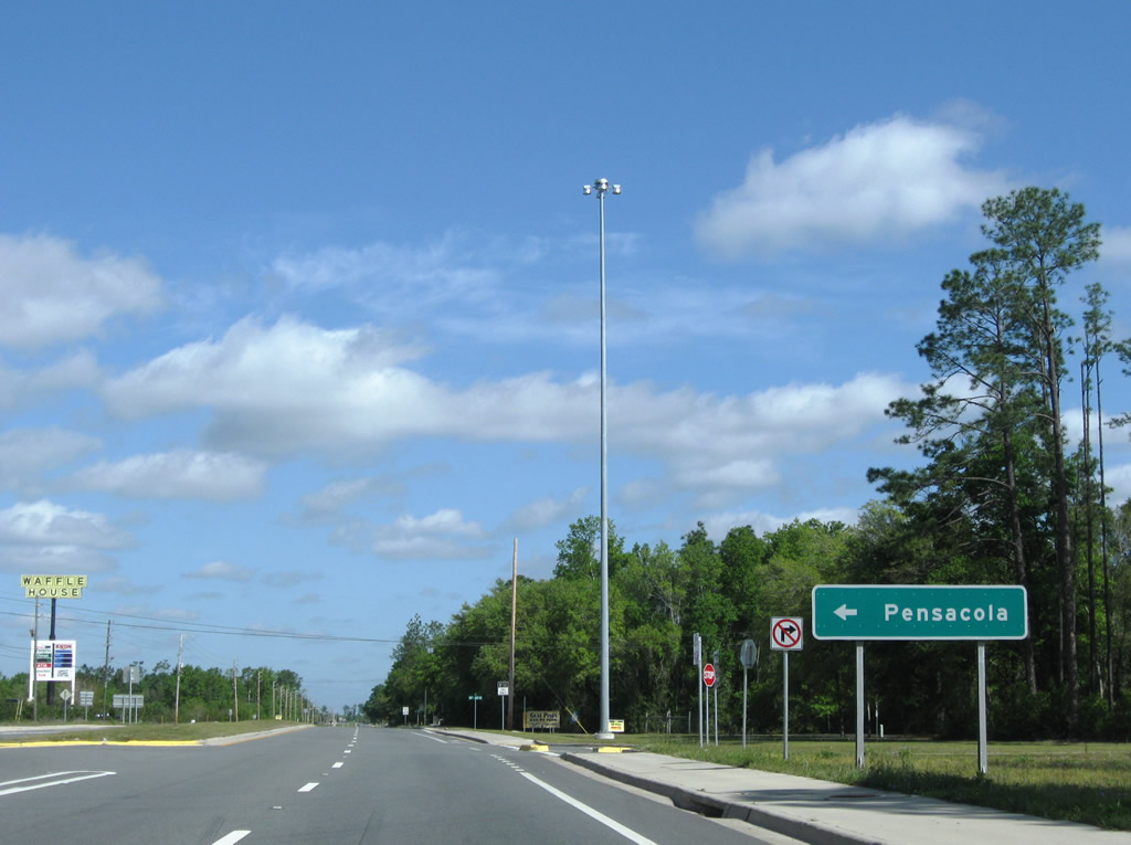
| Passing under Interstate 10, SR 87 north approaches the westbound on-ramp to Pensacola, Mobile, and Biloxi. 04/09/09 |
|
| Interstate 10 continues west one mile to a rest area and three miles to Santa Rosa County Road 89 near Ward Basin. 04/09/09 |
|
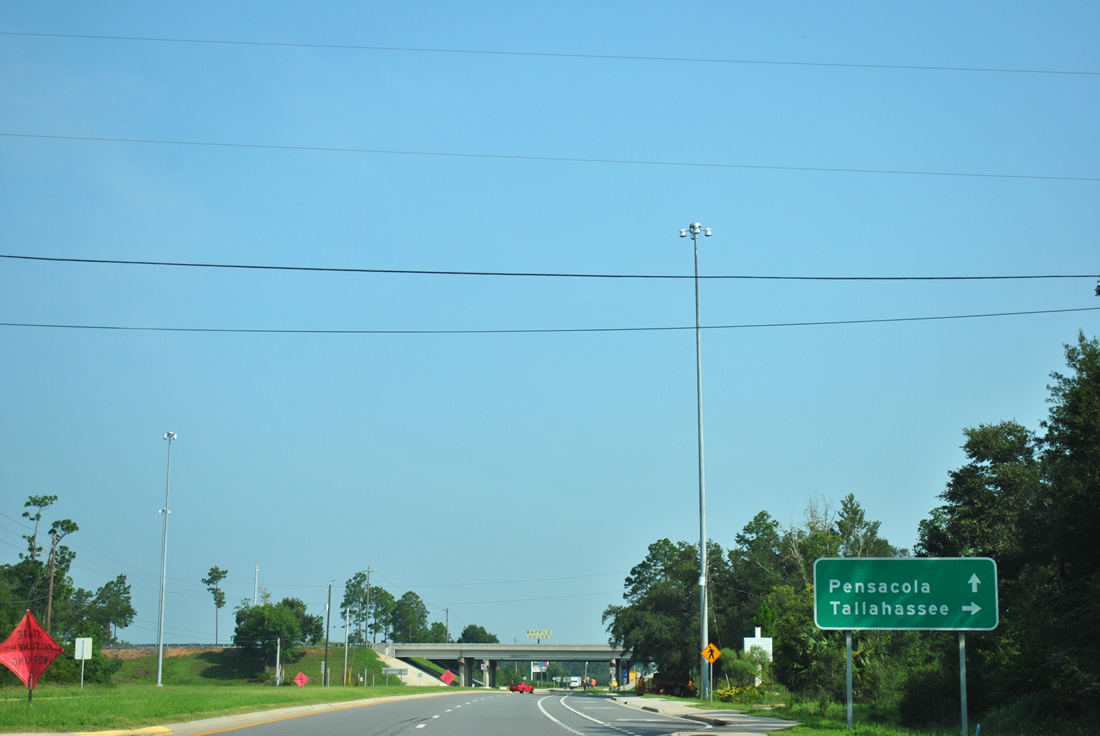
| Four lanes of SR 87 continue between Interstate 10 and U.S. 90 at the rural community of Welcome. 04/09/09 |
|
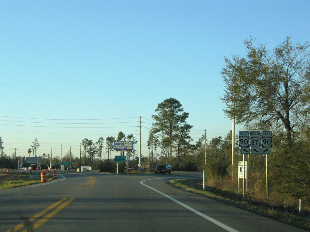
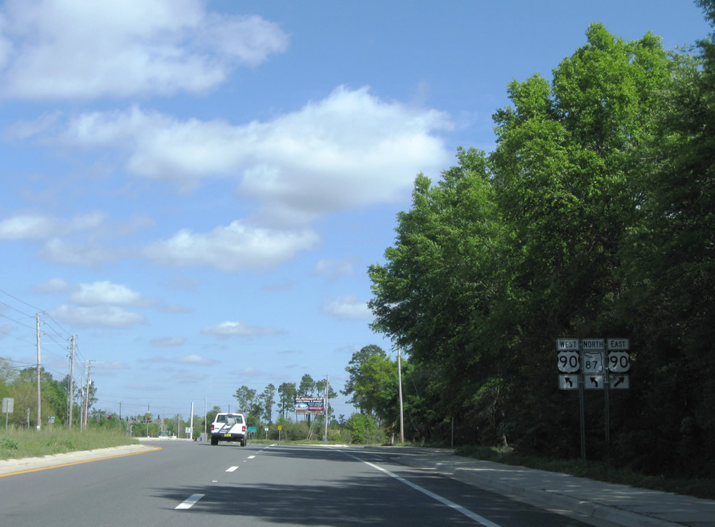
| SR 87 travels a short distance from Interstate 10 at Welcome to the merge with U.S. 90. The state road partitions into two wyes. 04/09/09 |
|
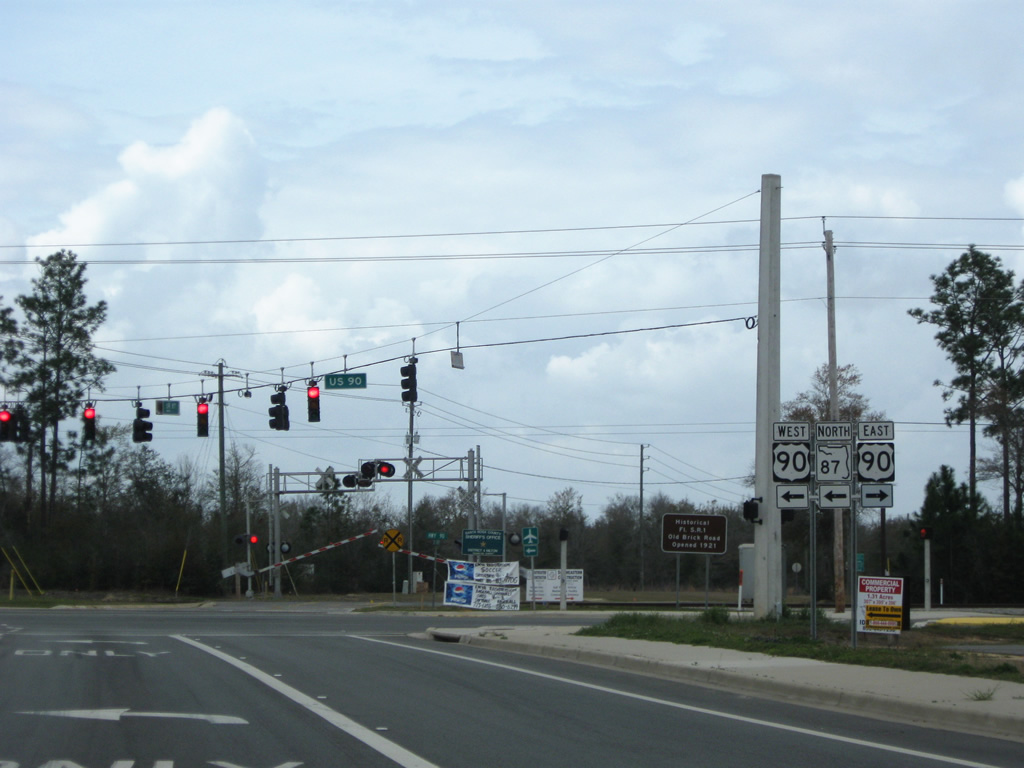
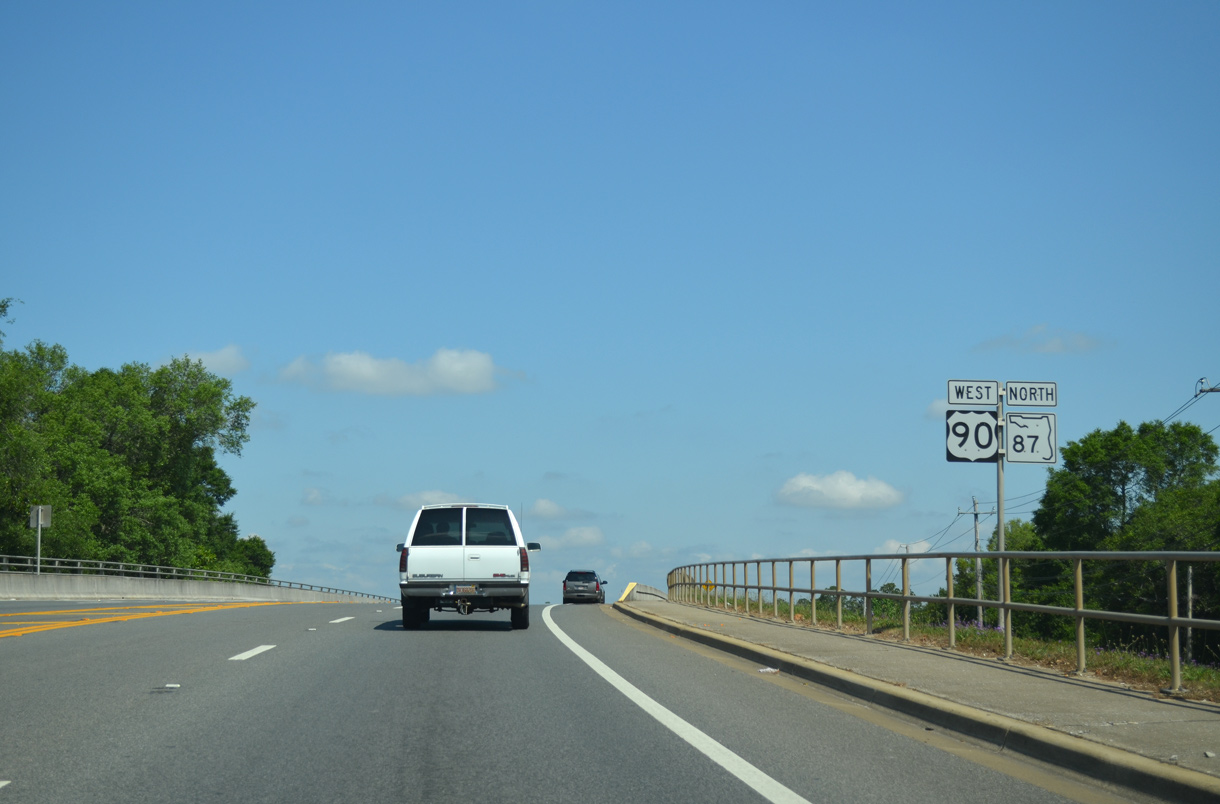
| The eastbound wye joins SR 87 north to U.S. 90 east toward Harold, Floridale and Holt. The westbound wye sees SR 87 north turn onto U.S. 90 west to East Milton. East Milton Road stems north from the wye to a county correctional facilities. 04/09/09 |
|
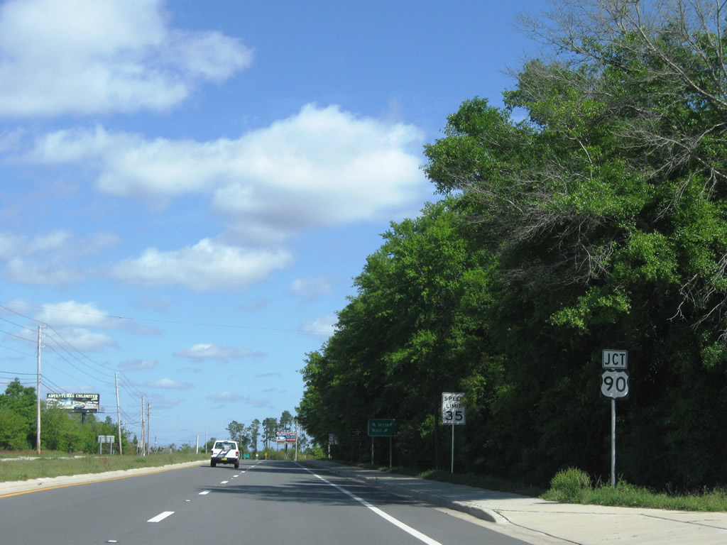
| U.S. 90 travels a rural route east from Milton to Crestview and westward through Milton, Pace, Pea Ridge, and Pensacola along an increasingly suburbanized arterial. 02/08/06, 04/09/09 |
|
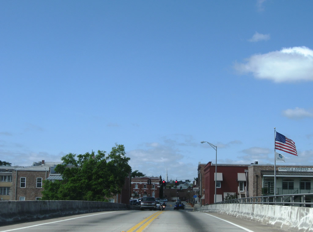
| U.S. 90 & SR 87 share 4.581 miles west through downtown Milton. Long range plans include a bypass route of Milton for State Road 87 between U.S. 90 and Point Baker. 03/09/09 |
|
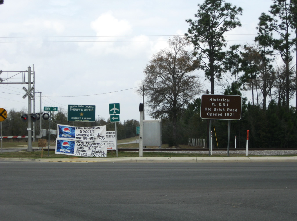
| Traveling alongside U.S. 90 in both directions from SR 87 is the Old Brick Road, the original Old Spanish Trail / State Road 1 alignment from Milton to Harold. The road is open to bicycles and hikers. 03/09/09 |
|
| SR 87 north merges with U.S. 90 west for a 4.6 mile overlap between East Milton Road and Stewart Street in Milton. A CSX Railroad line and Old Spanish Trail continue along the north side of the highway. 04/09/09 |
|
| Approaching Santa Rosa County Road 89 (Ward Basin Road) along U.S. 90 west & SR 87 north in East Milton. 04/09/09 |
|
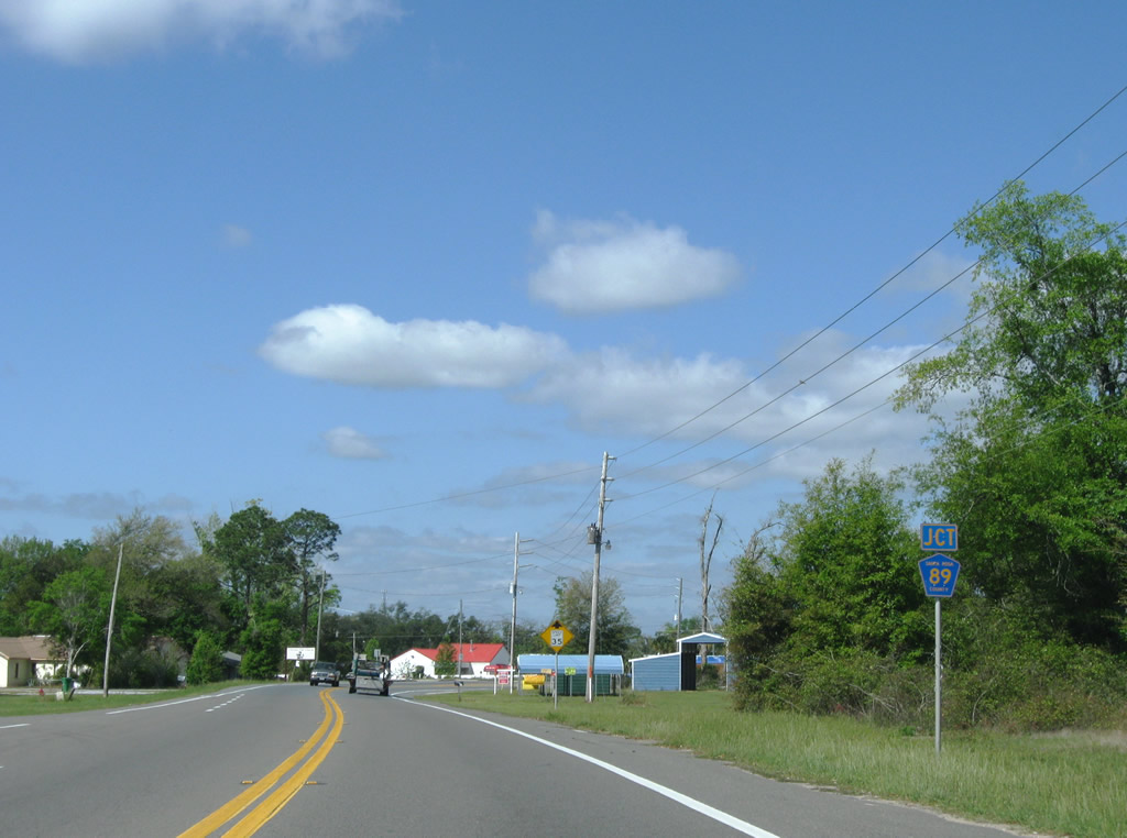
| Santa Rosa County Road 89 leads 5.8 miles southeast to the Yellow River through Ward Basin and Pine Bluff. The county road provides a connection between East Milton and Interstate 10 (Exit 28). 04/09/09 |
|
| U.S. 90 west / SR 87 north elevate over the CSX Railroad and portions of the Old Spanish Trail along a reconstructed bridge. 05/13/16 |
|
| Built in 2015, the span carrying U.S. 90/SR 87 over Marquis Bayou in East Milton was designed to mirror the slotted design of the concrete railings of its 1937 predecessor.1 05/13/16 |
|
| U.S. 90/SR 87 cross the Blackwater River west between Russell Harbor Road and Downtown Milton. 05/13/16 |
|
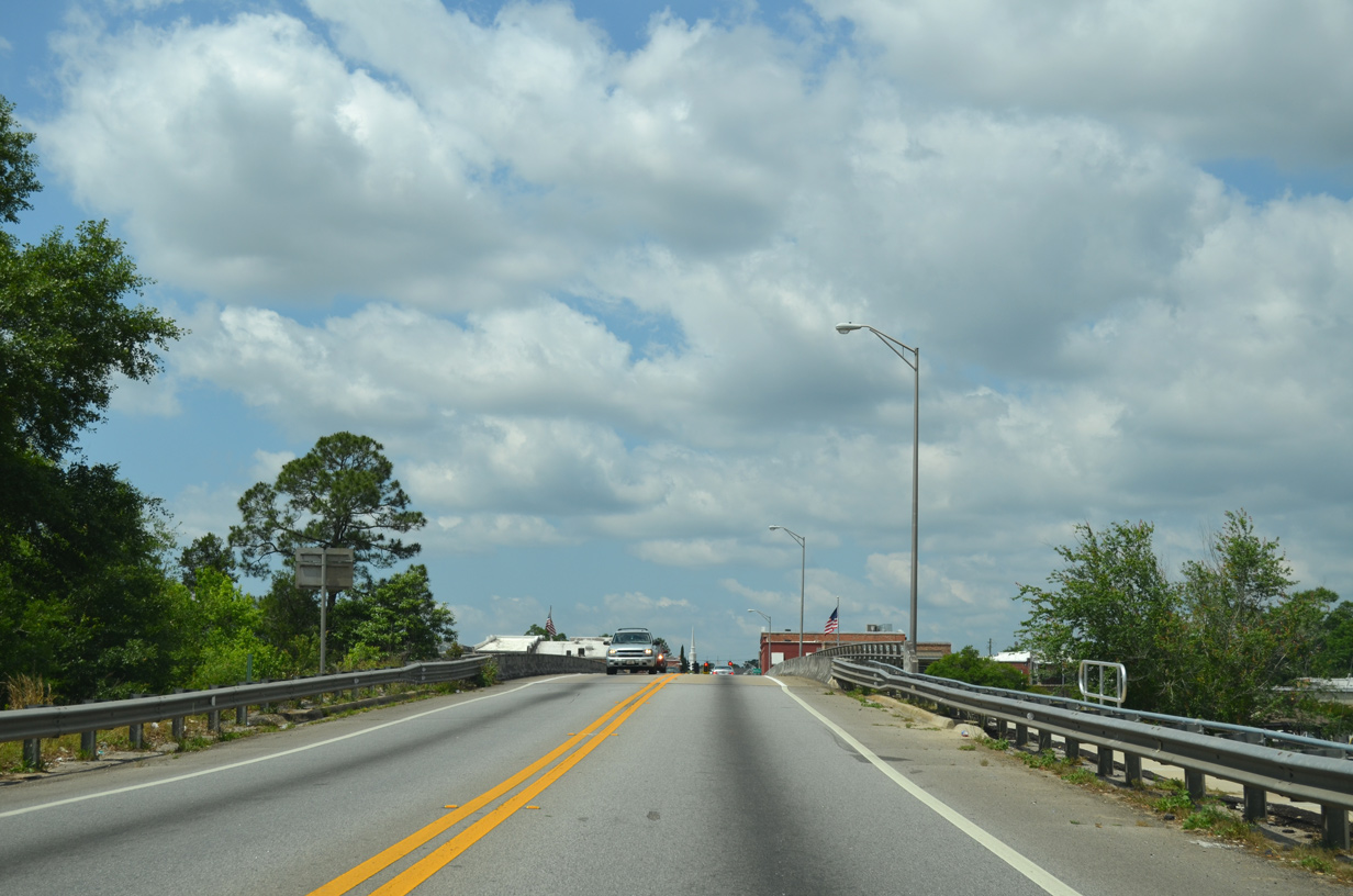
| A two lane bridge dumps drivers directly into Downtown Milton. Speed limits are set at only 25 mph across the span. 04/09/09 |
|
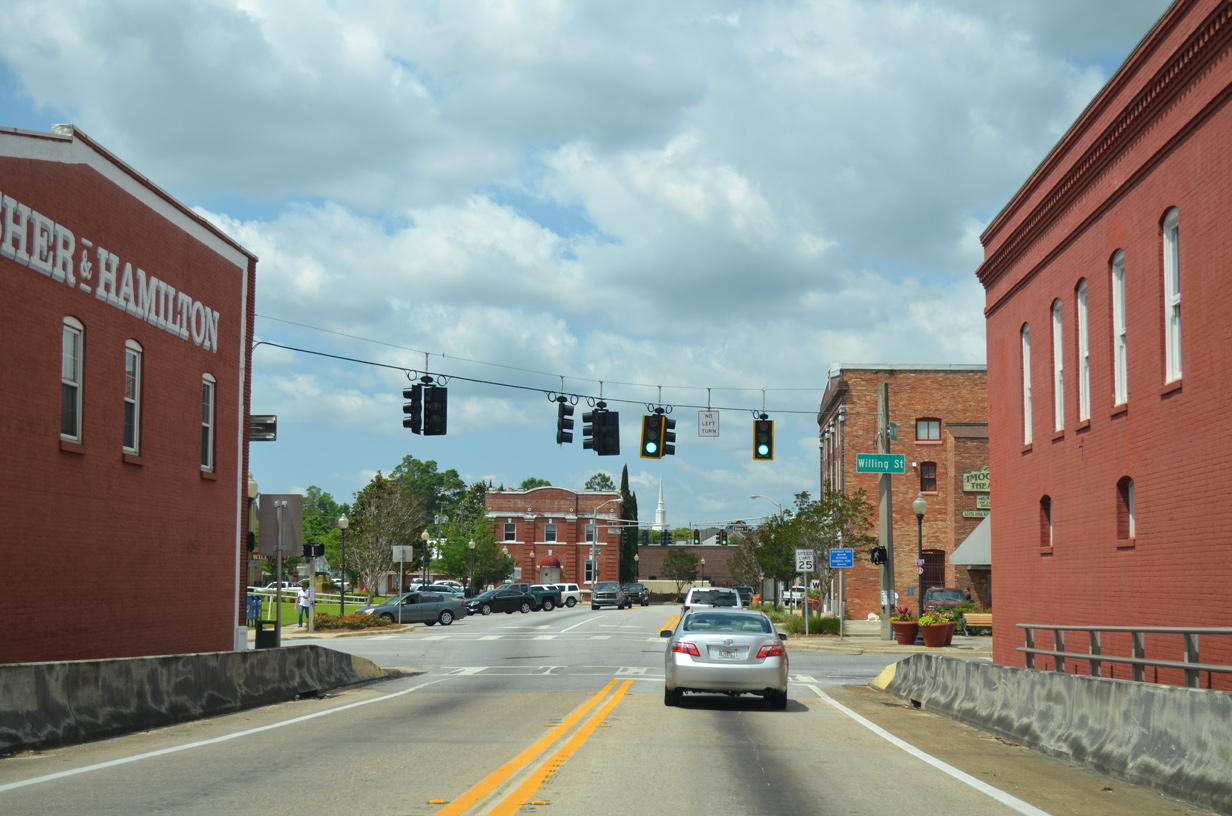
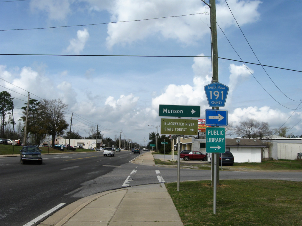
| Willing Street flows northbound from the Santa Rosa County Courthouse along the Blackwater River to the first traffic light along U.S. 90/SR 87 (Caroline Street) west in Milton. Broad Street extends north from Willing Street, doubling as CR 191 to Munson Highway. 05/13/16 |
|
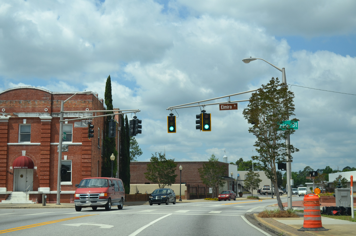
| Elmira Street intersects U.S. 90/SR 87 (Caroline Street) next, providing access to the Courthouse and Milton's riverside park. 05/13/16 |
|
| Santa Rosa County Road 191 continues south from U.S. 90 & SR 87 via Canal Street at the succeeding signal westbound in Milton. County Road 191 follows Canal and Henry Streets south from Milton to Forsyth Street within the historic district of Bagdad. 04/09/09 |
|
| U.S. 90 west & SR 87 (Carolina Street) north at CR 191 south in Broad Street. County Road 191 provides a direct, albeit slow because of low speed limits, route to Interstate 10 (Exit 26) and the Garcon Point Bridge (SR 281) to Gulf Breeze. 04/09/09 |
|
| U.S. 90 & SR 87 continue another four blocks west on Caroline Street from County Road 191 (Canal Street) south. 12/09/12 |
|
| SR 87 splits with U.S. 90 west at Stewart Street as Caroline Street widens into a four lane divided arterial. 12/09/12 |
|
| Westbound at the partition of U.S. 90 and SR 87 in Milton. U.S. 90 continues southwest toward Pea Ridge and Pace while SR 87 continues to Naval Air Station Whiting Field and Alabama 41 to Brewton. 12/09/12 |
|
| Resuming its northward course, SR 87 (Stewart Street) approaches Berryhill Road west as a five lane arterial. 05/03/09 |
|
| Berryhill Street stems west from downtown Milton (Broad Street) to become Berryhill Road and County Road 184A west of SR 89 (Dogwood Drive). County Road 184A joins Milton with northern reaches of Pace at County Road 197 (Chumuckla Highway). 01/30/06 |
|
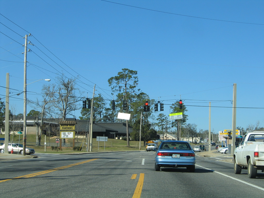
| Park Avenue crosses paths with SR 87 (Stewart Street) at a signalized intersection adjacent to Milton High School. Park Avenue leads east to Broad Street (County Road 191) and west to SR 89 (Dogwood Drive). 02/07/06 |
|
| Motorists see the first of two Stewart Street intersections with Santa Rosa County Road 191 at Munson Highway. The Munson Highway branch of County Road 191 spurs northeast from Milton, 19.545 miles to SR 4 at Munson. 02/07/06 |
|
| Munson Highway initially travels east to merge with Broad Street, a north-south segment of County Road 191, before turning northeast toward Whiting Field and Blackwater River State Forest. Santa Rosa County Road 191 ends 30.24 miles northward at the Alabama state line. 03/09/09 |
|
| SR 87 continues northward and stays west of Whiting Field on the 35 mile drive to Brewton, Alabama. 02/07/06 |
|
| Reassurance shield posted after the Stewart Street intersection with North Avenue. 05/03/09 |
|
| Santa Rosa County Road 191 continues 9.447 miles west from SR 87 (Stewart Street) along Magnolia Street, to Willard Norris Road and County Road 197 near Wallace. 05/03/09 |
|
| Continuing north from Magnolia Street (County Road 191) on SR 87. 05/18/14 |
|
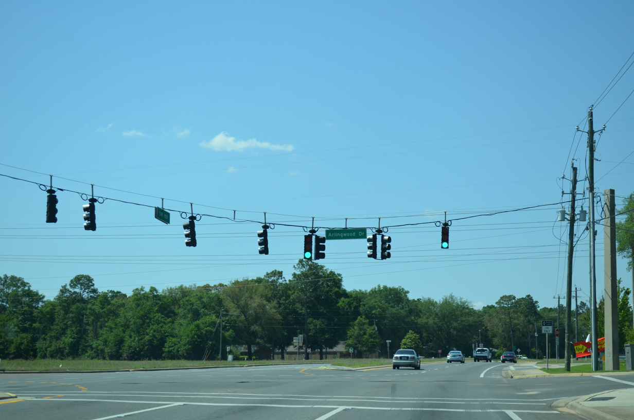
| SR 89 travels Dogwood Drive north, 3.561 miles from U.S. 90 to merge with SR 87 at Arlingwood Drive. 05/03/09, 05/18/14 |
|
| SR 87 & 89 combine for 1.641 miles from north Milton to Point Baker. 05/18/14 |
|
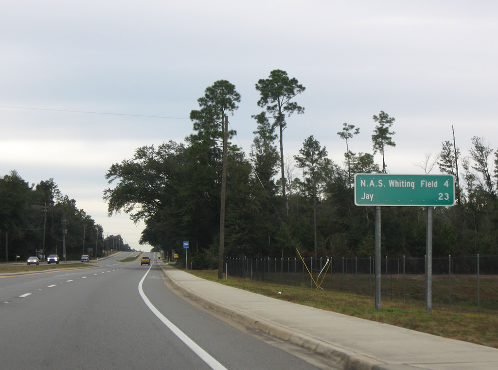
| Northbound distance sign posted for SR 87 & 89. SR 89 connects Milton with Jay, 23 miles to the northwest. SR 87 continues north and serves traffic interests to the West Gate of Naval Air Station Whiting Field in four miles. 02/07/06, 11/28/09 |
|
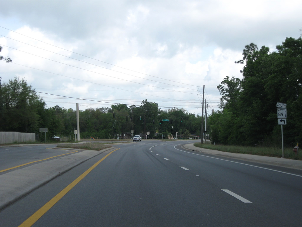
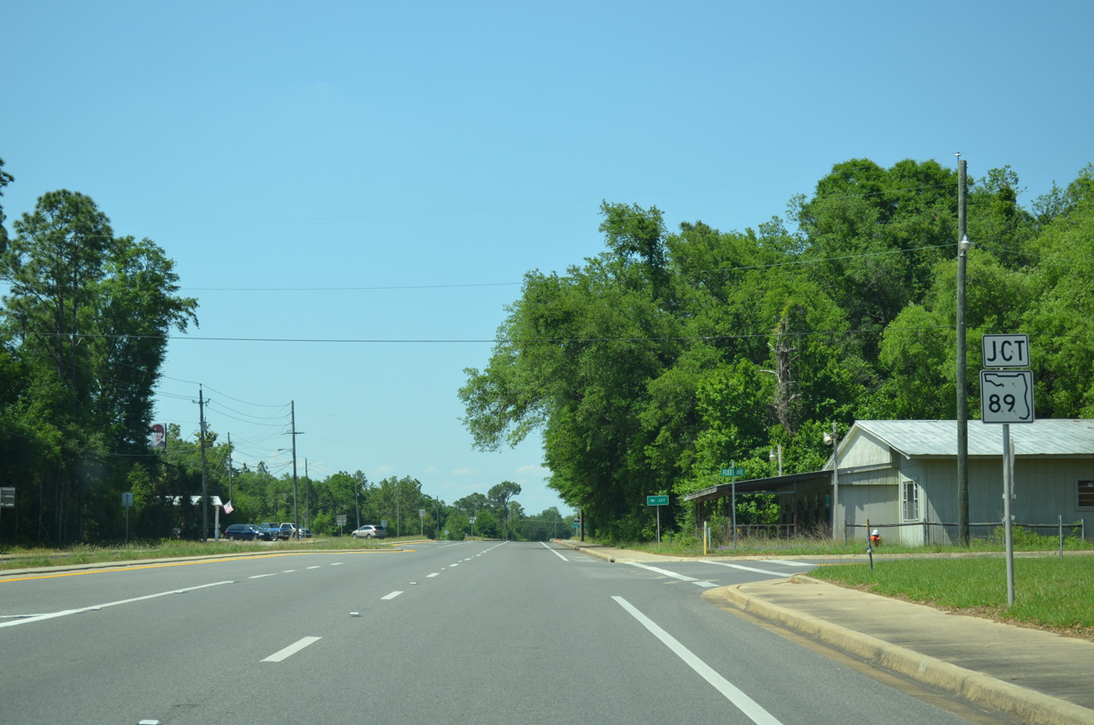
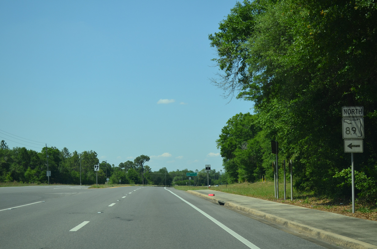
| Approaching the split of SR 89 north from SR 87 north at Point Baker. The tandem travel a four lane divided highway. 05/18/14 |
|
| SR 89 angles northwest 21.79 miles to SR 4 in the town of Jay. The state road ends in 26 miles at Escambia County Road 55 in Alabama. 05/18/14 |
|
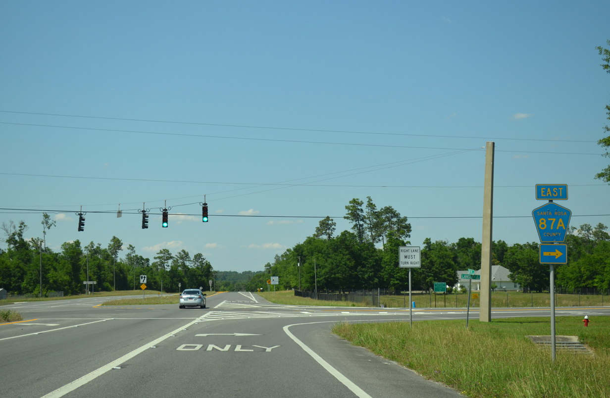
| Four lanes of State Road 87 continue a short distance north to County Road 87A (Langley Street), west of Naval Air Station Whiting Field. 02/07/06 |
|
| Brewton, seat of Escambia County, Alabama, lies 31 miles to the north of the split with SR 89. 05/18/14 |
|
| Langley Street (County Road 87A) travels east to the West Gate of Whiting Field from SR 87.
County Road 87A exists in two portions outside of the Naval Base: a 0.992 segment to SR 87 and a 3.128 mile section (East Gate Road) between the East Gate and County Road 191 (Munson Highway). 02/07/06, 05/18/14 |
|
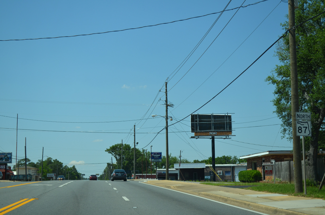
| SR 87 narrows to two lanes from County Road 87A (Langley Street) east to the Alabama state line. Long range plans include widening the entire corridor to four lanes. 05/18/14 |
|
| SR 87 northbound lowers to cross Clear Creek from Langley Street. 02/07/06 |
|
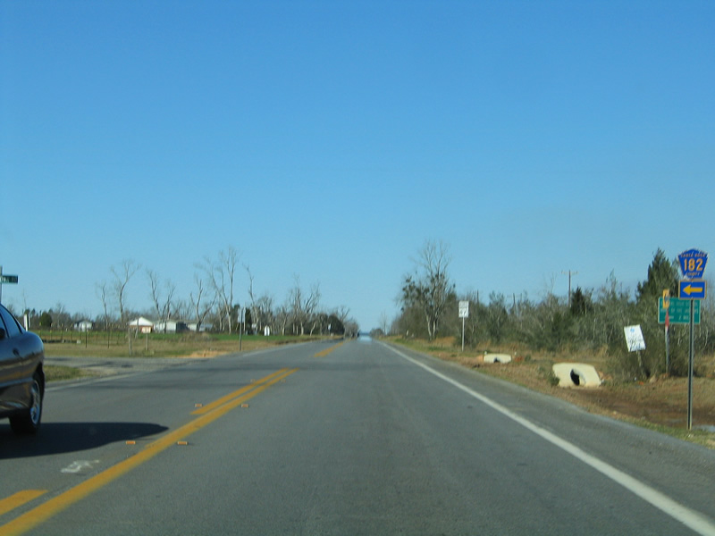
| Northbound SR 87 approaches Santa Rosa County Road 182 (Allentown Road) west to Allentown. 11/28/09 |
|
| County Road 182 ventures 2.015 miles west to Central School Road north at Central High School. Overall the county highway totals 10.924 miles to Chumuckla. 02/07/06 |
|
| SR 87 continues north through a variety of farm land to the Alabama state line. 11/28/09 |
|
| Lowering to cross the West Fork Big Coldwater Creek on State Road 87 north of Allentown. The forthcoming two lane span was built in 1978. 02/07/06 |
|
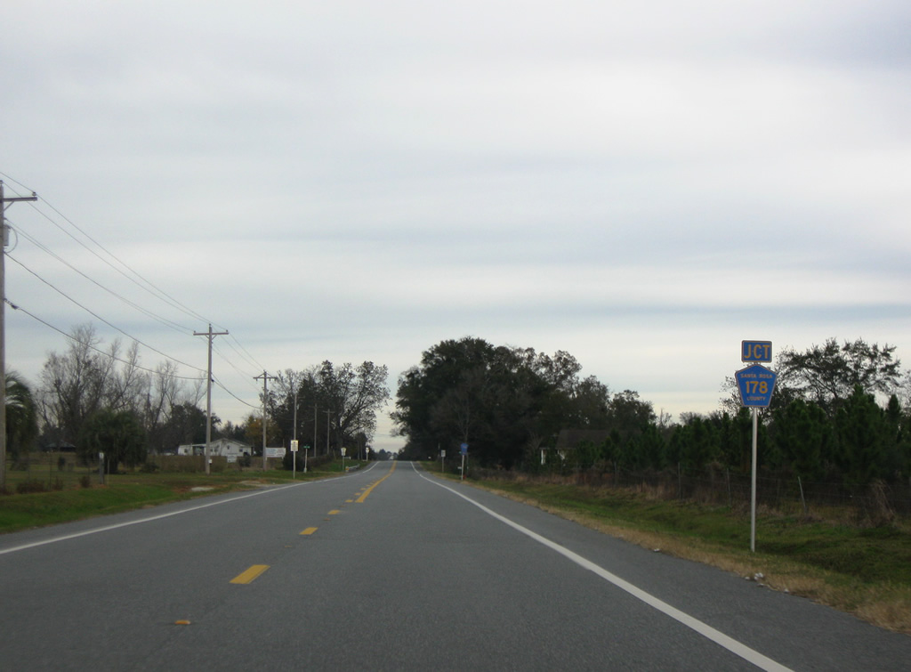
| 3.25 miles to the north of Big Coldwater Creek, SR 87 approaches County Road 178 (Spanish Trail). 11/28/09 |
|
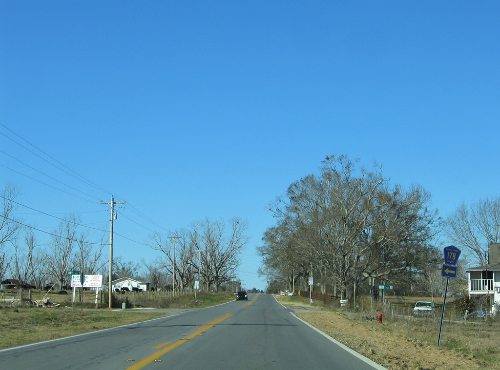
| County Road 178 straddles a section line on the 9.026 mile drive west to County Road 197 at New York. 02/07/06 |
|
| Another 3.25 miles of farm land await northbound motorists on the drive to Whitfield. 02/07/06 |
|
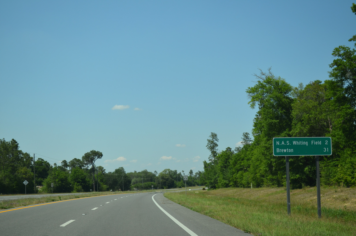
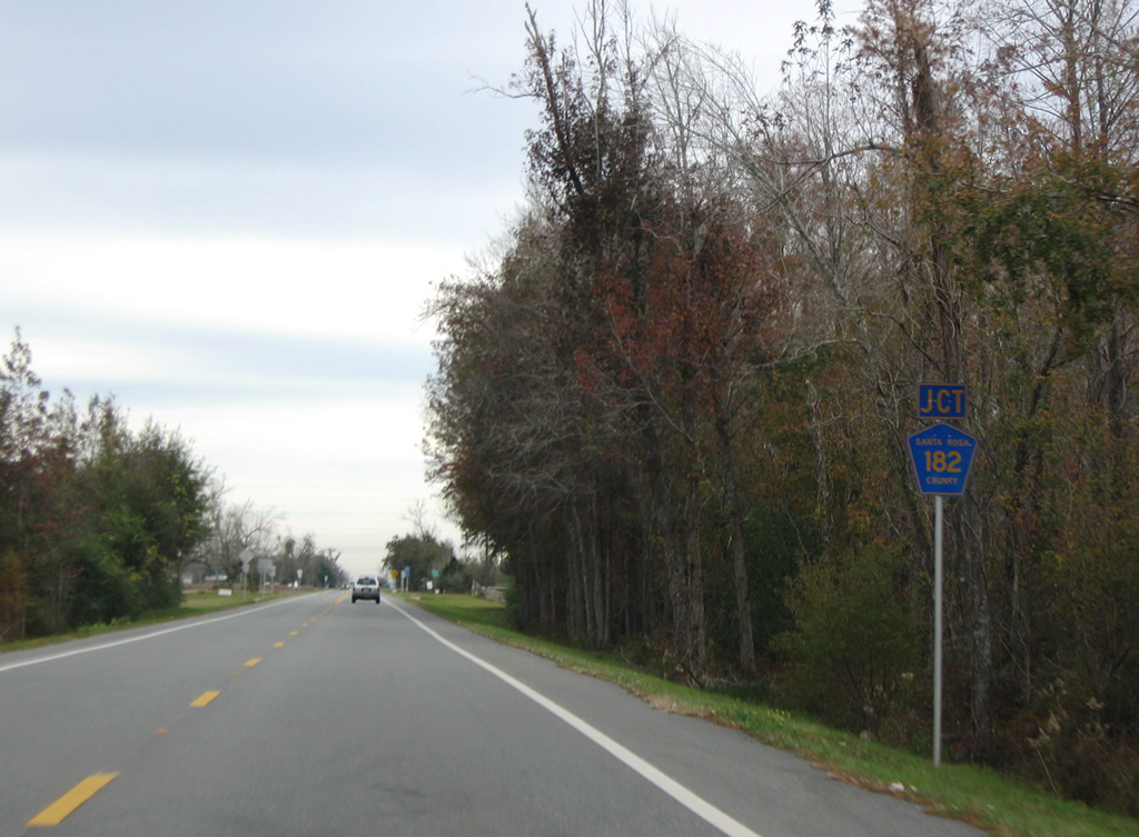
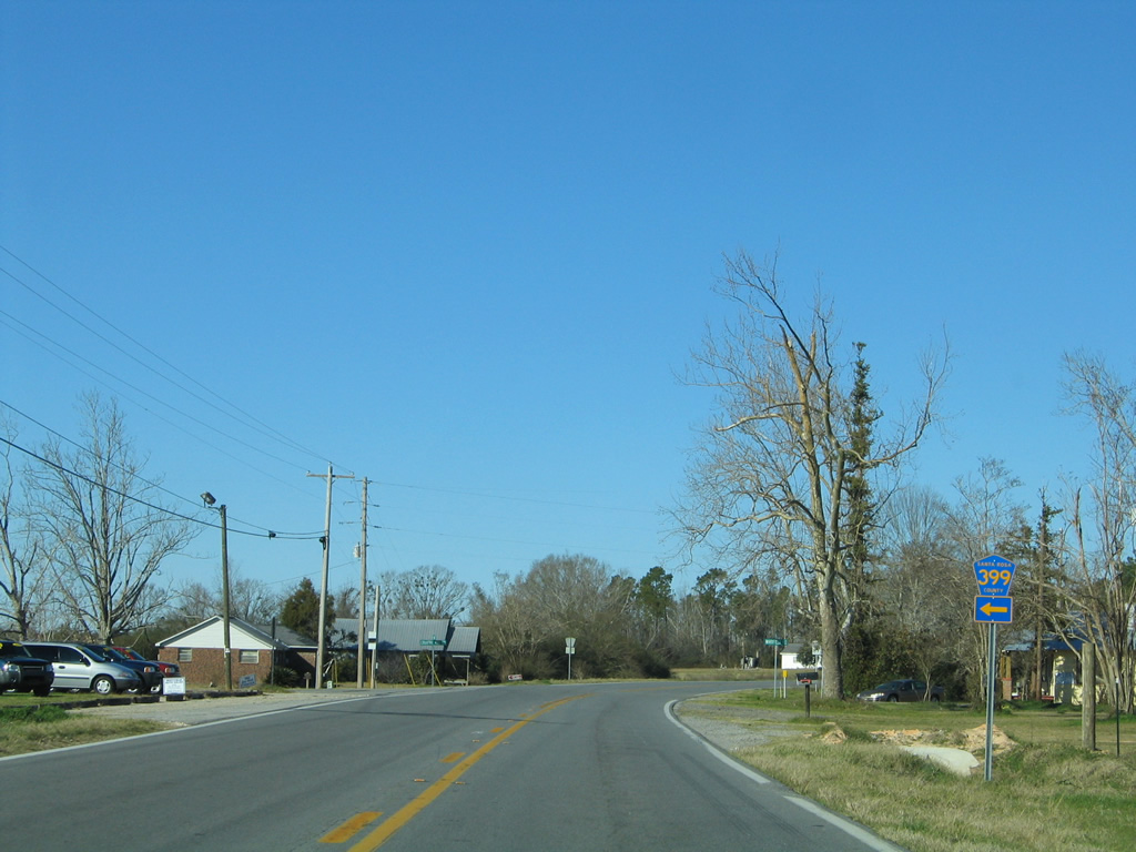
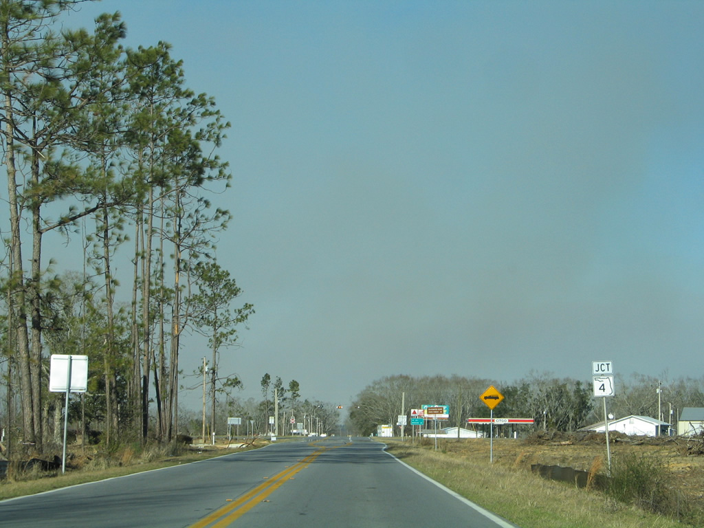
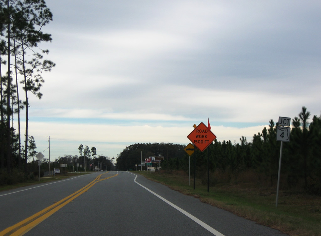
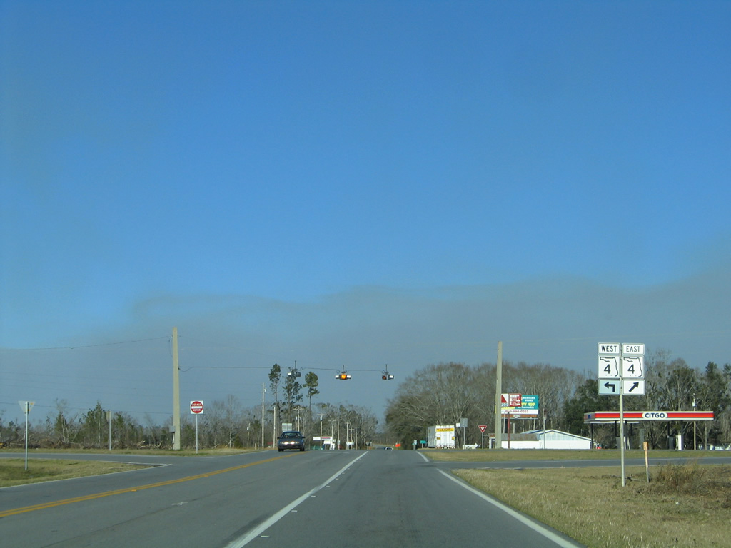
| A second encounter of SR 87 with Santa Rosa County Road 399 occurs at Whitfield. This segment of County Road 399 travels 7.077 miles west to SR 4. 11/28/09 |
|
| County Road 399 follows Country Mill Road northwest to end at SR 4, east of Jay.
Signage for County Road 399 was replaced between 2006 and 2009. 11/28/09, 02/07/06 |
|
| SR 87 bends northeast from Whitfield to Berrydale. 02/07/06 |
|
| Entering the community of Berrydale, SR 87 meets SR 4. Signs for the junction were replaced between 2006 and 2009. 02/07/06, 11/28/09 |
|
| SR 4 stretches west to Jay and U.S. 29 at Century and southeast to Munson, Baker, and U.S. 90 at Milligan. 02/07/06, 11/28/09 |
|
| SR 87 arcs northerly through Fidelis on the 16 mile drive to Brewton, Alabama. 11/28/09 |
|
| A northern segment of County Road 87A ends at SR 87, two miles south of the Alabama state line. 02/07/06 |
|
| Market Road carries all 2.992 miles of Santa Rosa County Road 87A between SR 87 and SR 4. The county highway provides a cut off to Jay from the north. 11/28/09 |
|
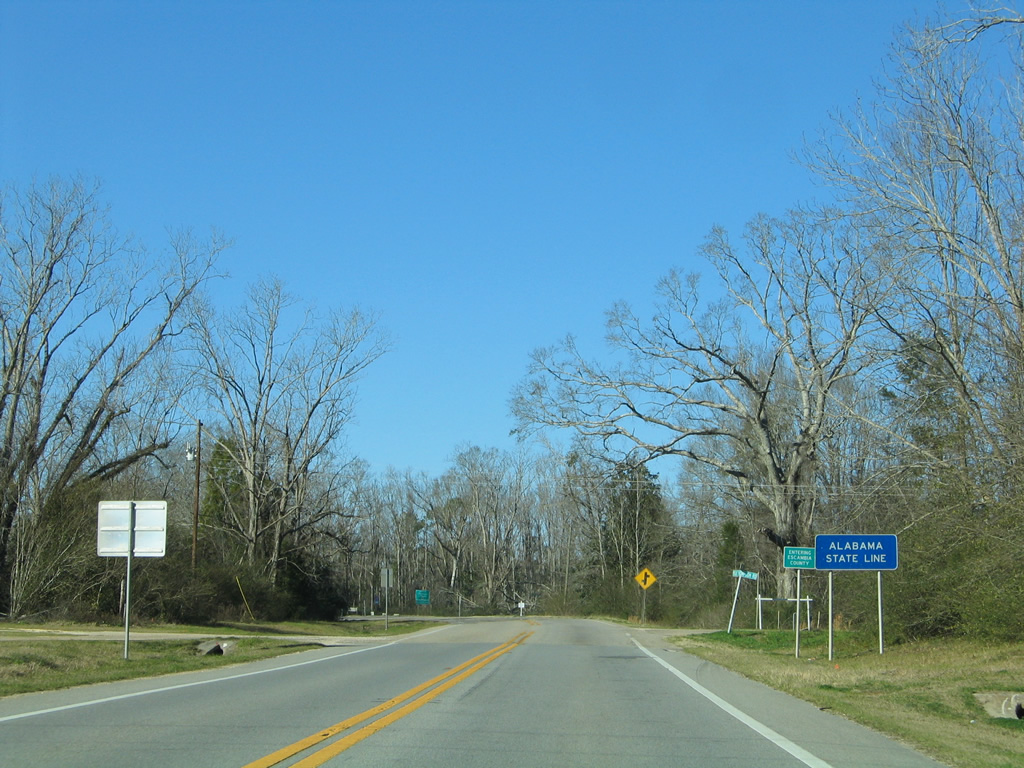
| Crossing the Alabama state line, east of Dixonville, on SR 87 north. Alabama 41 begins and continues north to East Brewton, Brewton and Exit 77 of Interstate 65. 02/07/06 |
Sources:
- Archaeological Consultants, Inc. (December 2012). Description of Significant Historic Bridges Historic Highway Bridges in Florida (pp. 12-13). Florida Department of Transportation Environmental Management Office.
01/30/06, 02/07/06, 02/08/06, 02/09/06, 11/01/08, 03/09/09, 04/09/09, 05/03/09, 11/28/09, 12/24/10, 08/03/11, 08/09/11, 05/26/12, 08/25/12, 12/09/12, 05/16/14, 05/18/14, 11/18/14, 05/13/16 by AARoads
Connect with:
Interstate 10
U.S. 90
U.S. 98
State Road 4
State Road 89
Page Updated 11-18-2014.