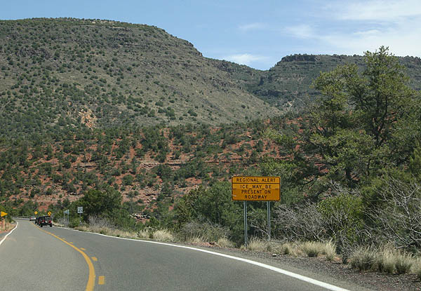
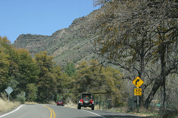
Beginning in Prescott, State aroute 89A travels northeast via Jerome to Sedona. North between Sedona and Flagstaff, SR 89A passes through Oak Creek Canyon, one of the most scenic roads in the Grand Canyon State, and the first designated scenic road in Arizona. The route is not recommended for long trucks due to a number of tight turns.
SR 89A originated in 1927 as part of SR 79. It was added to the US Highway system as U.S. 89A in 1940. U.S. 89A was decommissioned in 1992 when U.S. 89 was truncated north from Nogales to Flagstaff. It reverted to a state designated highway at that time.
|
| This reassurance marker posted by Mormon Canyon was replaced by 2008 with a sign providing Sedona Fire information. 04/10/06 |
|
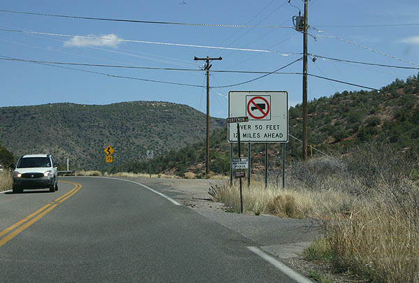
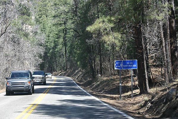
| Trucks over 50 feet long are prohibited from Oak Creek Canyon due to the narrow and winding course SR 89A takes. Removed after 2008, this sign referenced the restriction 12 miles to the south at Purtymun Lane. 04/10/06 |
|
| Indian Point on Schebly Hill appears to the northeast as SR 89A advances north alongside Oak Creek. 04/10/06 |
|
| SR 89A is designated the Sedona Oak Creek Canyon Scenic Road. 04/10/06 |
|
| Spanning Wilson Canyon, the Midgley Bridge was constructed in 1939. The steel arch bridge is typical of canyon bridges of the era in Arizona. 04/10/06 |
|
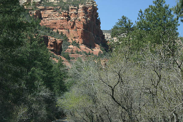
| The red rocks of Sedona are visible throughout Oak Creek Canyon. 04/10/06 |
|
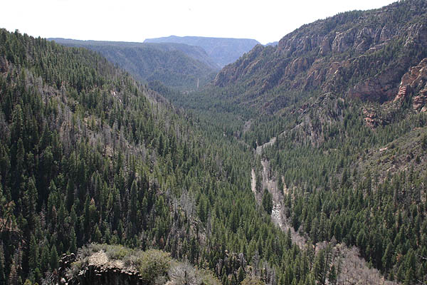
| The walls of Oak Creek Canyon tower 1000-1500 feet above the canyon bottom. 04/10/06 |
|
| SR 89A passes west of Casner Canyon at milepost 377. 04/10/06 |
|
| Running along the eastern slop of the First Bench of Wilson Mountain, SR 89A narrows and trees form an arching canopy across the road. 04/10/06 |
|
| A historical marker at Indian Springs lies across SR 89A from the Coconino National Forest - Oak Creek Visitor Center. 04/10/06 |
|
| Indian Gardens lies in a valley where Munds Canyon and Oak Creek Canyon converge. 04/10/06 |
|
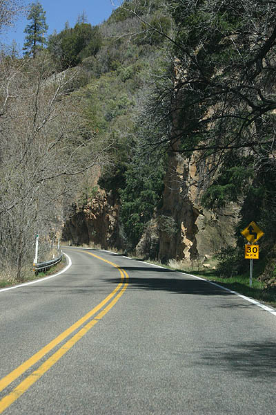
| Traveling through Oak Creek Canyon along SR 89A north. 04/10/06 |
|
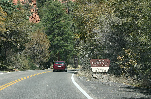
| The Coconino National Forest - Encinoso Picinic Area is located east of Wilson Mountain on SR 89A. 04/10/06 |
|
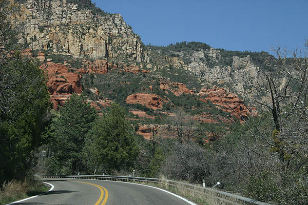
| Continuing below scenic cliffs and rock facades along SR 89A north through Oak Creek Canyon. 04/10/06 |
|
| Traveling through Oak Creek Canyon along SR 89A north. 04/10/06 |
|
| Climbing out of Oak Creek Canyon, SR 89A navigates through a series of hairpin turns by the mouth of Sterling Canyon. 04/10/06 |
|
| SR 89A rapidly gains 800 feet in elevation as it climbs onto the Kaibab Plateau. 04/10/06 |
|
| The Oak Creek View Point features amazing views of Oak Creek Canyon, as well as Native American vendors selling their wares. This view was on a windy day. 04/10/06 |
|
| Sterling Canyon and the switchbacks along SR 89A from the Oak Creek View Point. 04/10/06 |
|
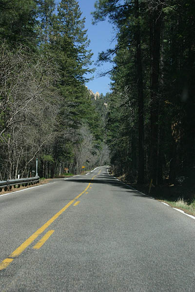
| On top of the Kaibab Plateau, SR 89A travels through pine and oak forest common to the Flagstaff area. 04/10/06 |
|
| SR 89A transitions to an at-grade boulevard north from I-17 and MccConnell Drive onto Milton Road. 04/26/17 |
|
| SR 89A (Milton Road) next intersects Forest Meadows Street west to adjacent retail and several apartment complexes. 04/26/17 |
|
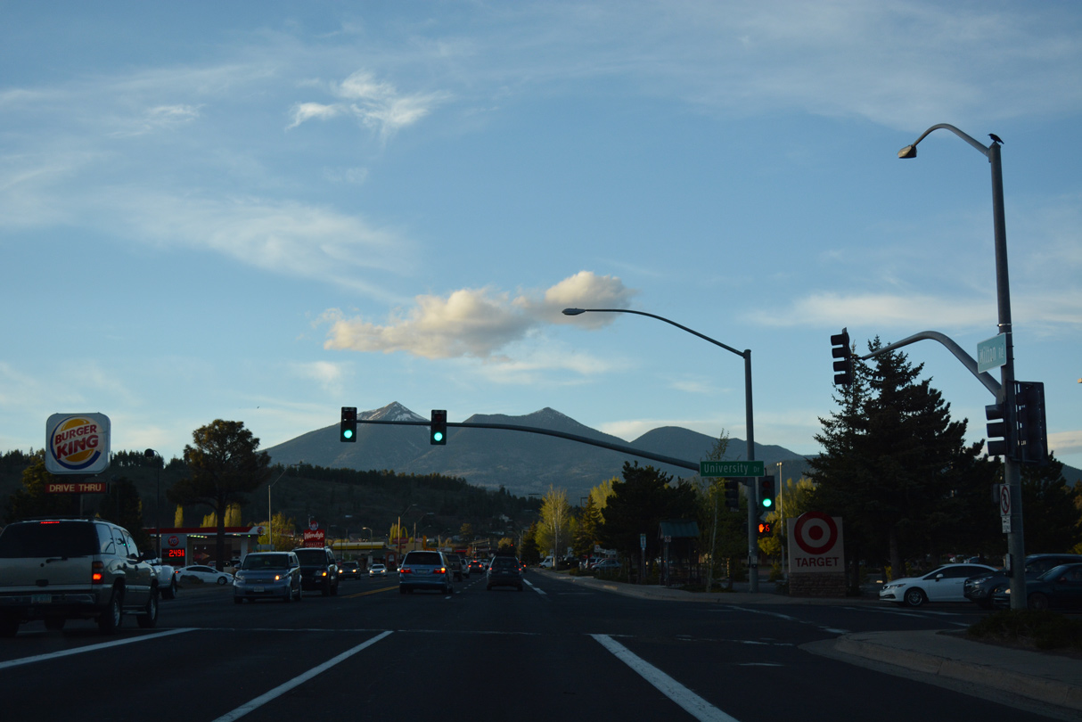
| University Drive stems east from Ilton Road beyond adjacent retail onto the campus of Northern Arizona University (NAU). 04/26/17 |
|
| Plaza Way joins SR 89A with University Plaza shopping center and other retail. 04/26/17 |
|
| Riordan Road angles northwest from Knoles Drive at NAU to Historic U.S. 66. 04/26/17 |
|
| SR 89A concludes north at Business Loop I-40 where Historic U.S. 66 takes over along Milton Road northeast to Downtown Flagstaff. 04/26/17 |
|
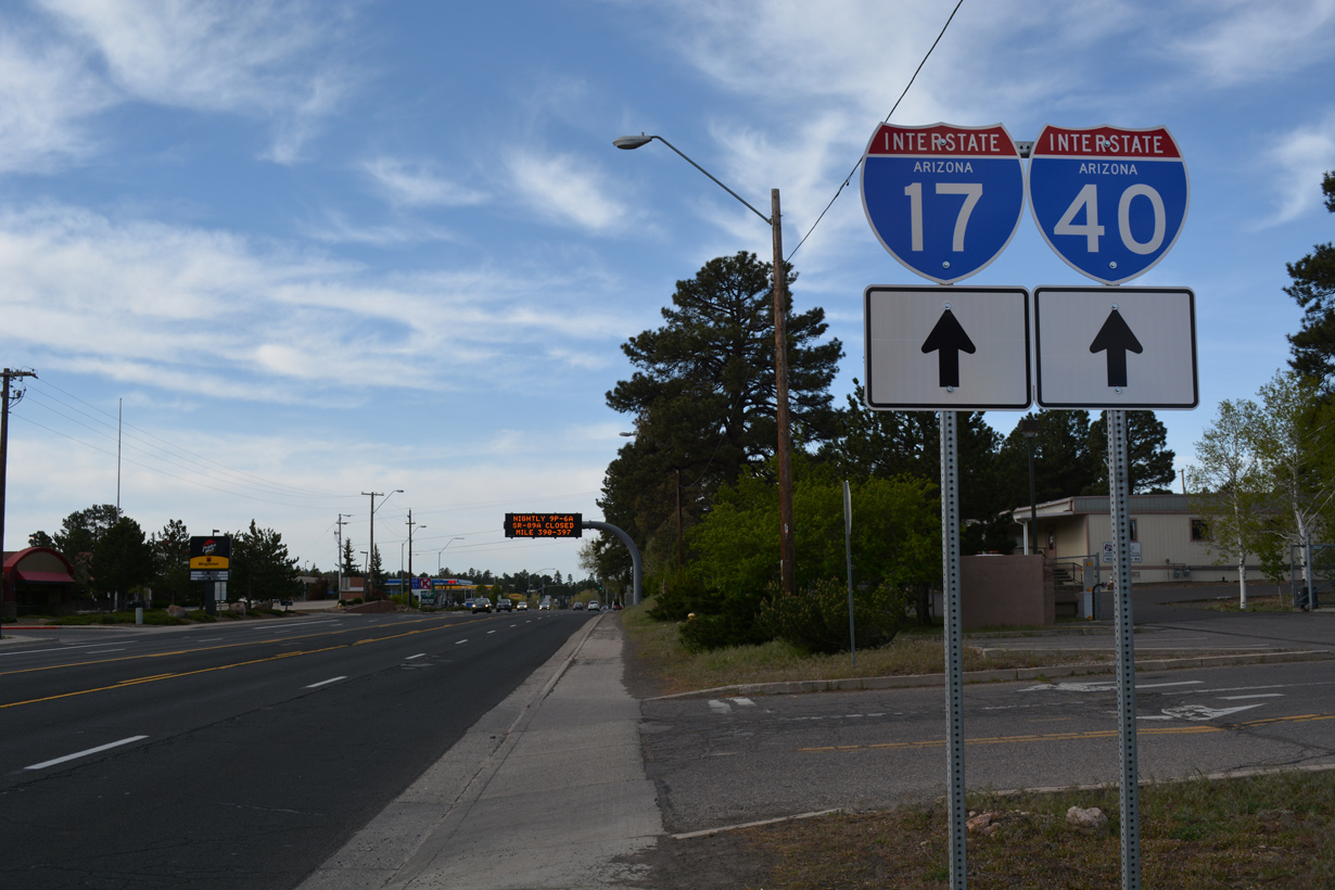
| Trailblazers for I-17/40 stand just beyond Business Loop I-40/Historic U.S. 66 and the southbound beginning of SR 89A (Milton Road). 04/26/17 |
|
| The first of several commercialized intersections along SR 89A (Milton Road) south is with Riordan Road. 04/26/17 |
|
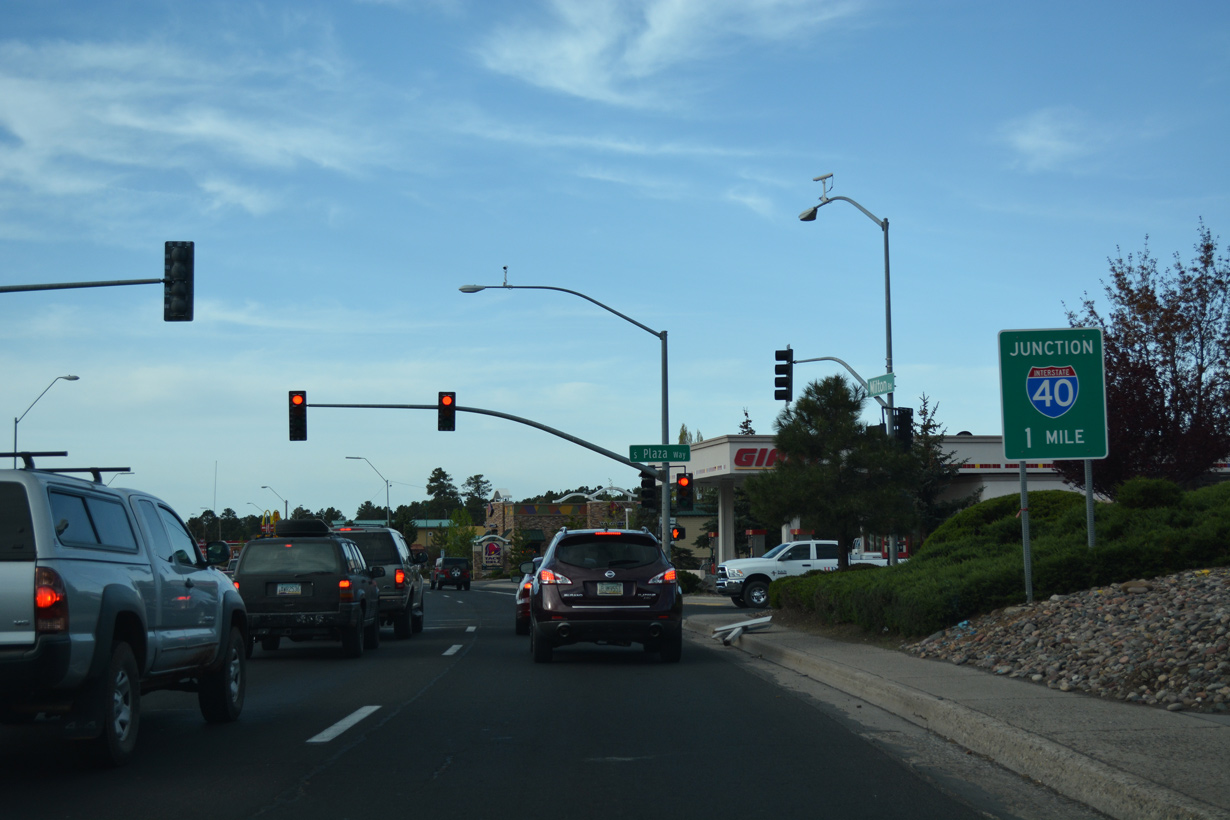
| SR 89A continues one mile from Plaza Way to the exchange joining I-17 south with Interstate 40. 04/26/17 |
|
| University Drive leads west from Northern Arizona University (NAU) to SR 89A south of University Avenue. 04/26/17 |
|
| An intrastate route traveling 145.22 miles from Flagstaff to Phoenix, Interstate 17 begins along SR 89A south a half mile beyond University Drive. 04/26/17 |
|
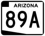
| The first shield for SR 89A precedes Forest Meadows Street along Milton Road south. 04/26/17 |
|
| A half diamond interchange joins McConnell Drive with I-17/SR 89A south beyond this trailblazer. 04/26/17 |
|
| SR 89A transitions into Interstate 17 leading into the cloverstack interchange (Exit 340) with I-40 west to Williams and east to Winslow. 04/26/17 |
Page Updated 04-04-2022.

 North
North