|
| 4th Avenue branches west from IL 5/92 to the Babcock community of East Moline and the Northeast Park Sports Complex ahead of this shield assembly. 05/29/11 |
|
| Morton Drive heads west from this traffic light with IL 5/92 to the John Deere Harvester Works plant in East Moline. 05/29/11 |
|
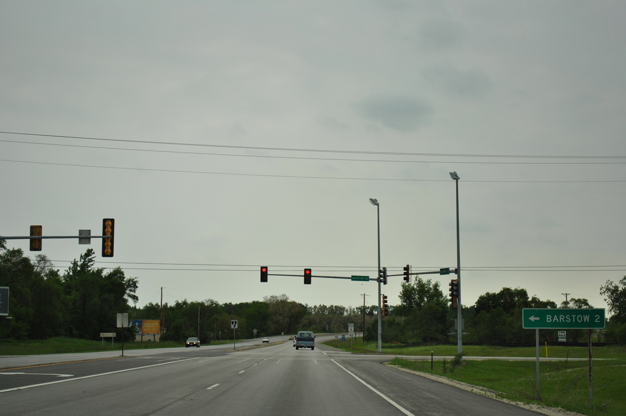
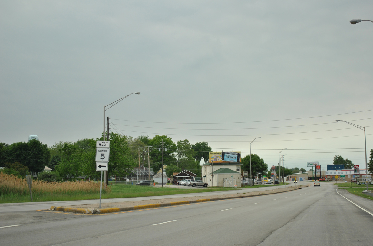
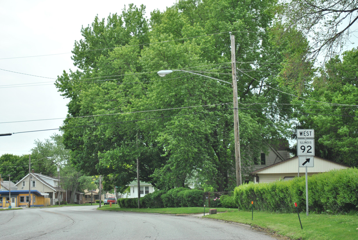
| Barstow Road (CR GG) curves east from 40th Street (CR N) in East Moline to the community of Barstow from IL 5/92. 05/29/11 |
|
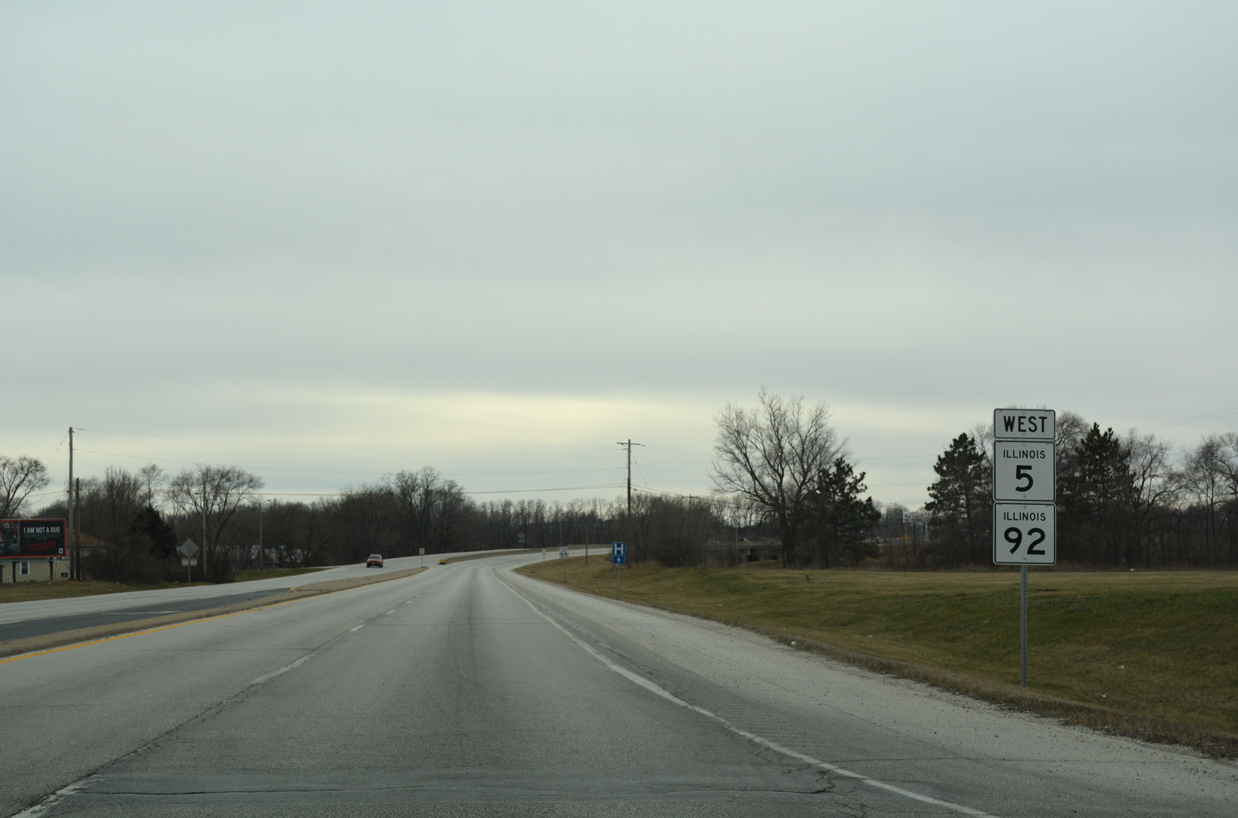
| IL 5/92 west nip the northern corner of Carbon Cliff ahead of a bridge over the Iowa Interstate Railroad. 03/12/17 |
|
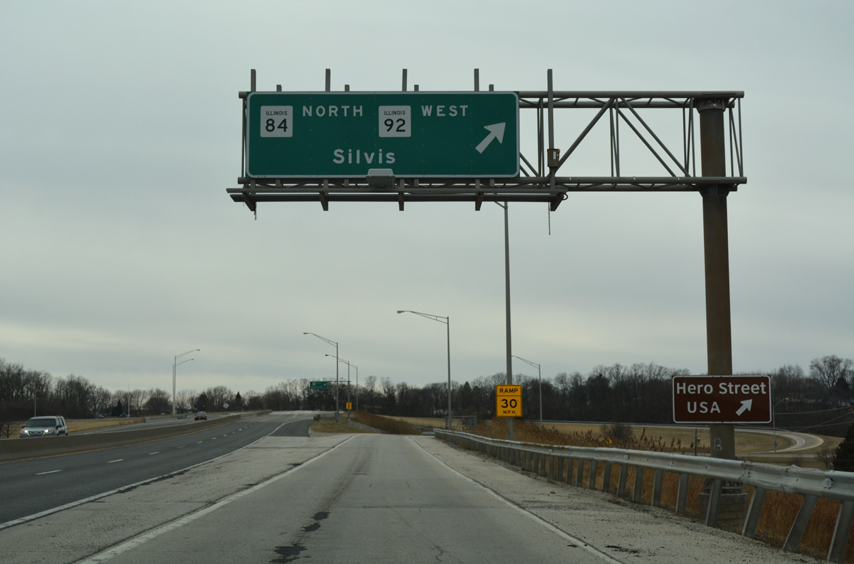
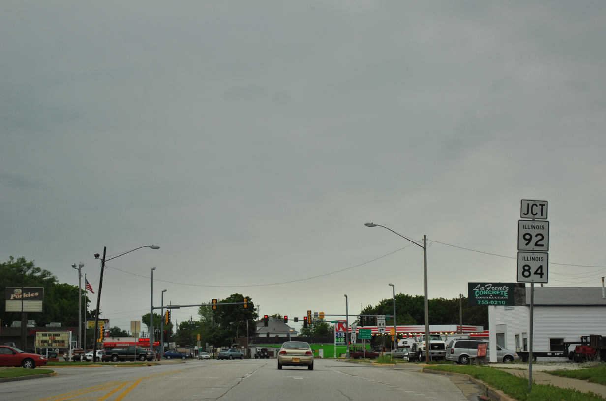
| A folded diamond interchange joins IL 5/92 west with IL 84 (1st Avenue) at the Carbon Cliff and Slivis city line. 03/12/17 |
|
| IL 92 parts ways with IL 5 to accompany IL 84 north through the city of Silvis. IL 5 leads south between Silvis and Carbon Cliff and west to south Moline. 03/12/17 |
|
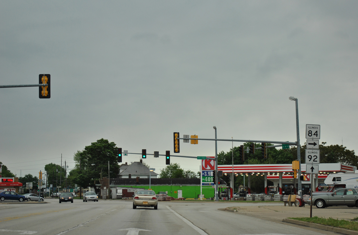
| IL 92 west merges onto IL 84 north ahead of the westbound ramp to IL 5. A parclo interchange joins the three state routes. 05/29/11 |
|
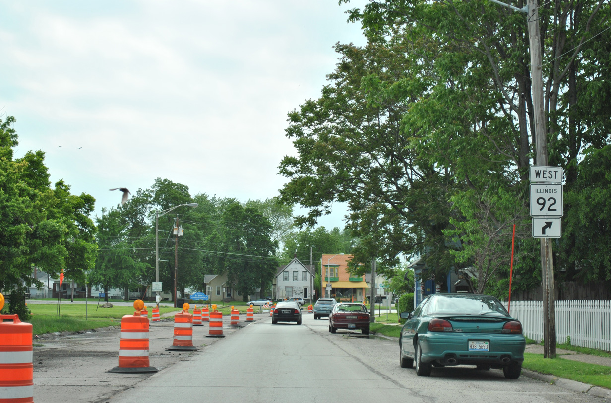
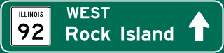
| IL 5 west continues south from IL 84 and 92 onto the John Deere Expressway. The expressway takes the state route toward Rock Island and Milan. 05/29/11 |
|
| IL 84 north and IL 92 west overlap for 1.3 miles. 05/29/11 |
|
| Following 1st Avenue, IL 84/92 reduce to two lanes through Silvis. A number of store fronts line the state route pair. 05/29/11 |
|
| 9th Street intersects IL 84/92 (1st Avenue) at a traffic light two blocks west of Silvis City Hall. 05/29/11 |
|
| IL 84 splits with IL 92 west for 19th Street north through the city of East Moline. This assembly was replaced by 2013 with IL 84 displayed on top. 05/29/11 |
|
| North from East Moline, IL 84 doubles as a Great River Road to Rapids City, Port Byron and Fulton. Savanna, seat of Carroll County, lies 48 miles to the north along IL 84. 05/29/11 |
|
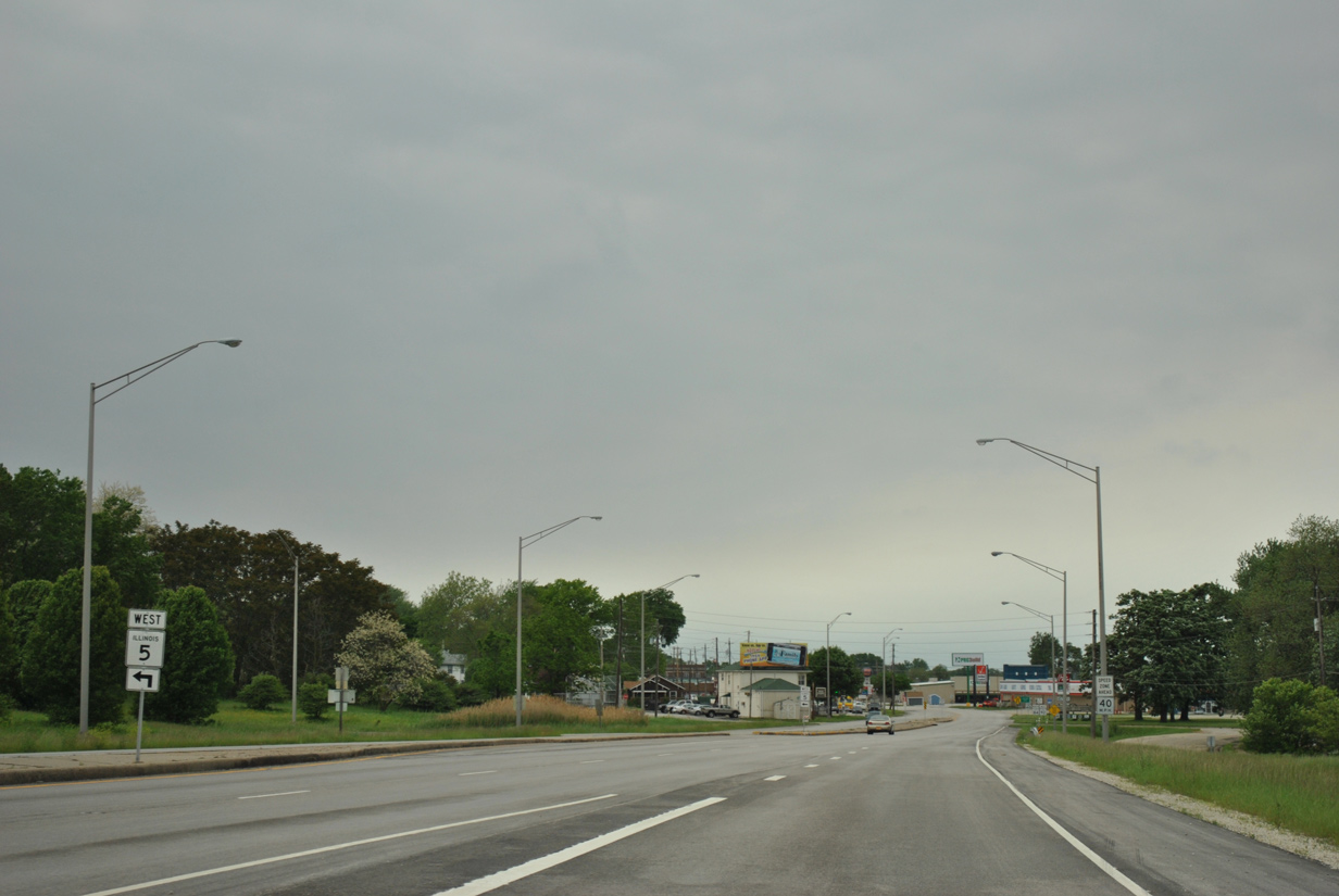
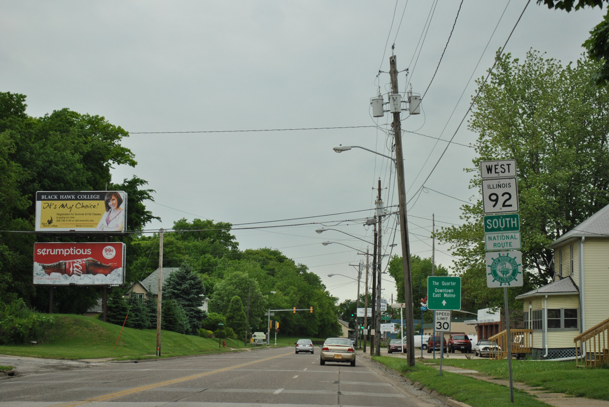
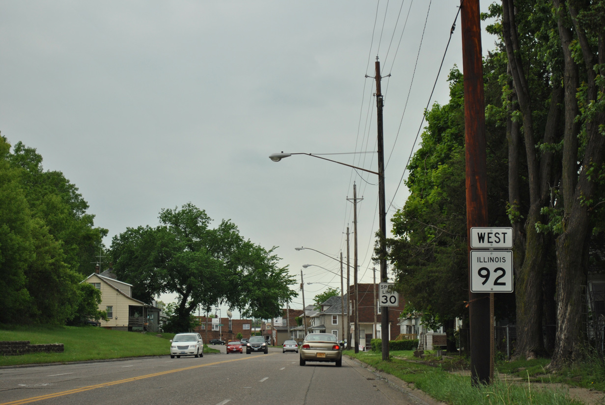
| IL 92 remains west, transitioning to 18th Avenue through the city of East Moline. 1st Street south along the Silvis city line to Avenue of the Cities west represents the historic alignment of IL 2, 80 and 92 Bypass. IL 92 bypass formed an L-shaped route from IL 92 here to U.S. 6/150 (19th Street) in Moline in the 1940s.1 05/29/11 |
|
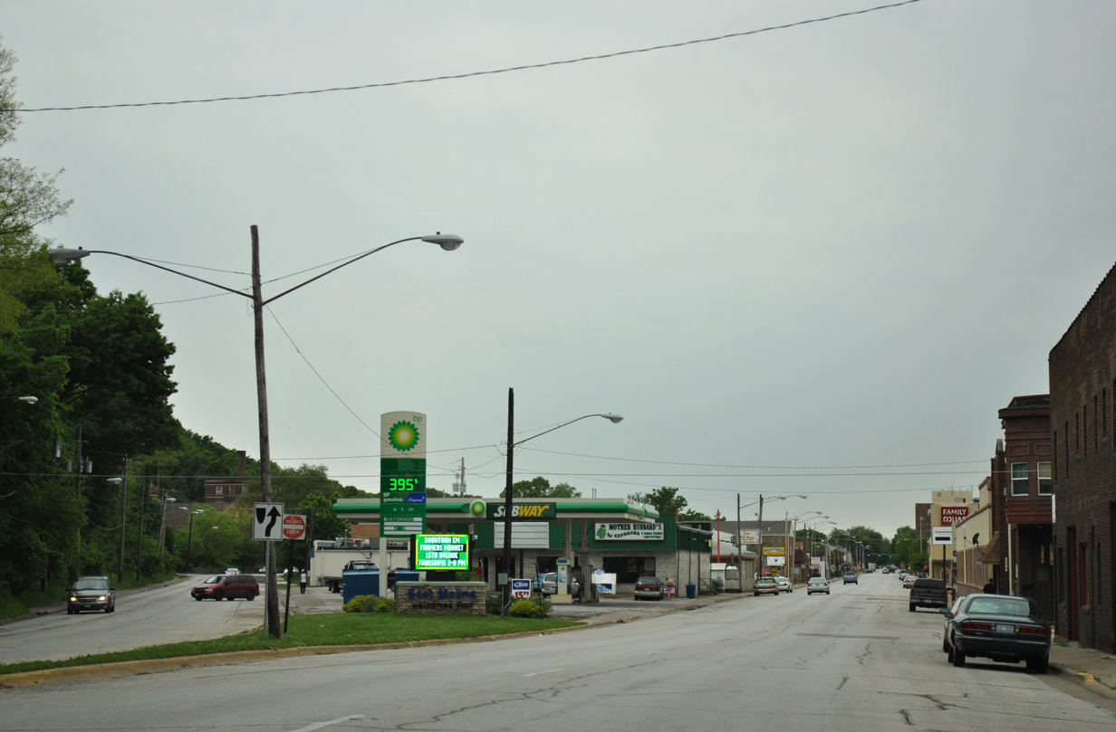
| IL 92 expands to four lanes along 18th Avenue west. The route doubles as a Great River Road between IL 84 and Muscatine, Iowa. 05/29/11 |
|
| A staggered traffic light setup along IL 92 (18th Avenue) west at 17th Street north and Archer Drive south to Butterworth Park. 05/29/11 |
|
| Westbound reassurance marker posted after Archer Drive south along 18th Avenue. 05/29/11 |
|
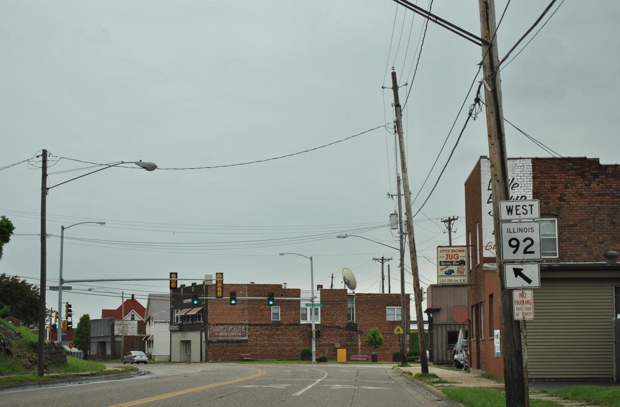
| 18th Avenue angles southward at 13th Street to the East Moline business district. 05/29/11 |
|
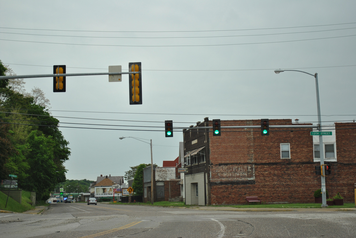
| 13th Street branches north from Archer Drive to cross IL 92 (18th Avenue) en route to the John Deere Harvester Works plant and IL 84. 05/29/11 |
|
| IL 92 partitions into a one way couplet with westbound using 16th Avenue. Eastbound IL 92 runs along 17th Avenue to 18th Avenue to the left in this scene. 05/29/11 |
|
| 7th Street runs south from the Mississippi River to Black Hawk College and 70th Street south to IL 5 (John Deere Road) in Moline. IL 92 intersects 7th Street by the nine story Streed Tower. 05/29/11 |
|
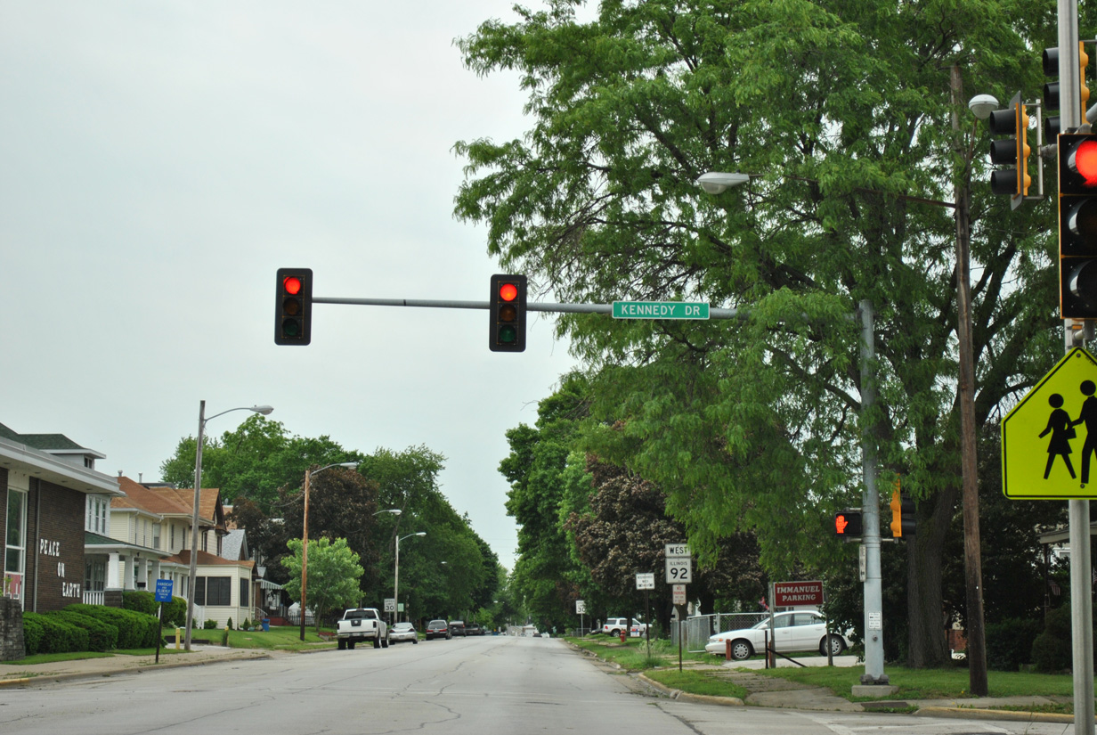
| Kennedy Drive meets IL 92 (16th Avenue) west at the next East Moline traffic light. The road winds southward onto the bluffs south of Downtown to a number of residential streets. 05/29/11 |
|
| Another shield for IL 92 appears to westbound drivers after Kennedy Drive. 05/29/11 |
|
| A Great River Road trailblazer stands at 2nd Street near the west end of the 16th and 17th Avenues couplet. 05/29/11 |
|
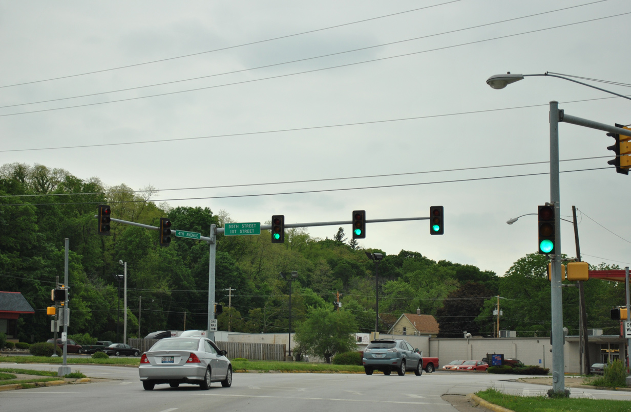
| 16th Avenue shifts southward ahead of 55th Street to form 4th Avenue into Moline. 05/29/11 |
|
| 55th Street straddles the Moline city line north to Ben Butterworth Parkway, a park and boat ramp facility along the Mississippi River. 55th Street south ties into 1st Street, a residential street into East Moline. 05/29/11 |
|
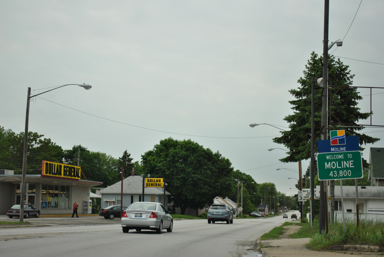
| Within the Moline city limits, IL 92 follows 4th Avenue west to 34th Street. 05/29/11 |
|
| 4th Avenue constitutes a four lane boulevard bisecting a network of north south streets between the parallel Iowa Interstate Railroad line and bluffs south of 5th Avenue. 05/29/11 |
|
| 4th Avenue kinks southward between 48th and 46th Streets by East End Park. 05/29/11 |
|
| IL 92 (4th Avenue) encounters another S-curve between 45th and 44th Streets. 05/29/11 |
|
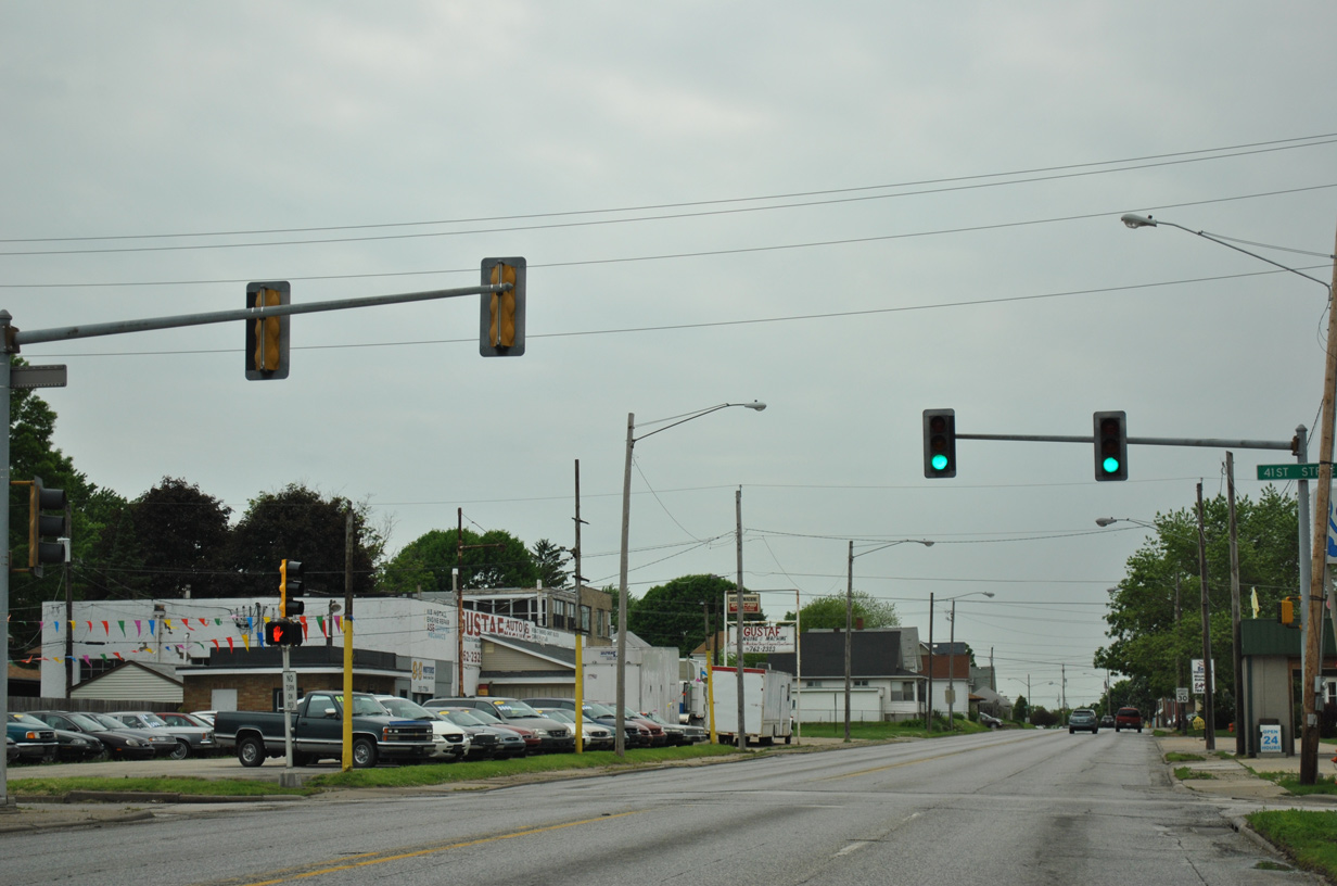
| A traffic light is in use at 41st Street, a north-south road between 5th Avenue, the adjacent Moline Forge complex and River Drive. 05/29/11 |
|
| IL 92 curves south once more at 38th Street. 05/29/11 |
|
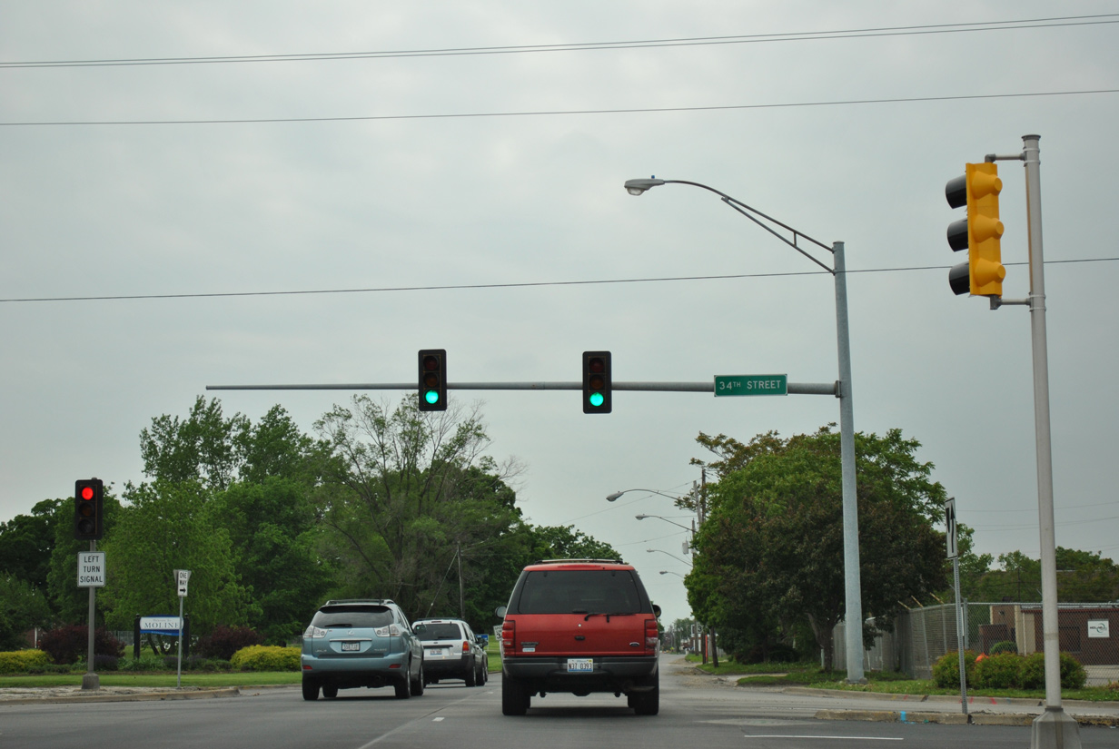
| 4th Avenue becomes a one way street beyond 34th Street leading into Downtown Moline. Eastbound follows a combination of 6th and 5th Avenues to the south. 05/29/11 |
|
| The Moline street grid orientates with the Mississippi River, leaving 4th Avenue to kink southwest at 23rd Street. 05/29/11 |
|
| 23rd Street constitutes a multi-lane boulevard north to River Drive and south to 7th Avenue. 05/29/11 |
|
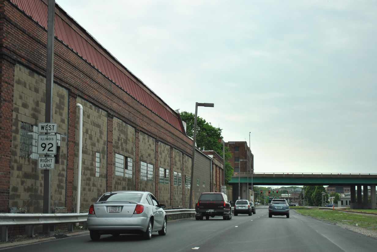
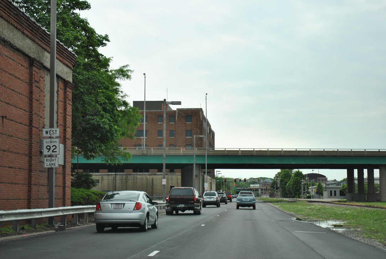
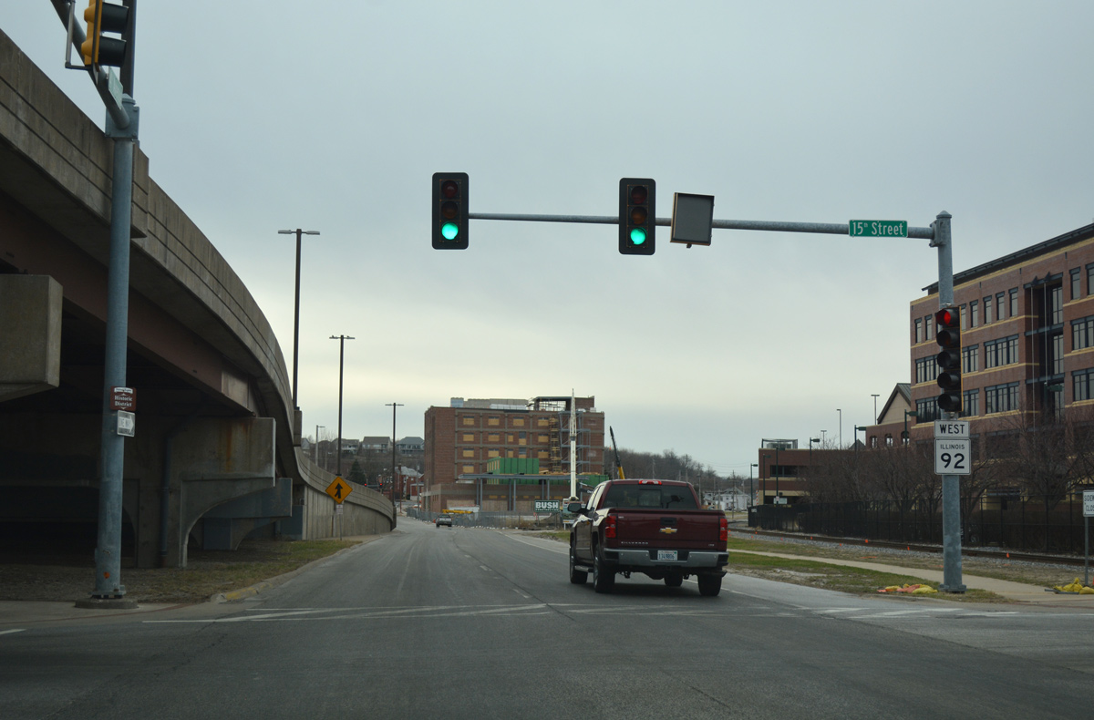
| The Iowa Interstate Railroad runs alongside IL 92 (4th Avenue) west between 23rd and 15th Streets through Downtown Moline. 05/29/11 |
|
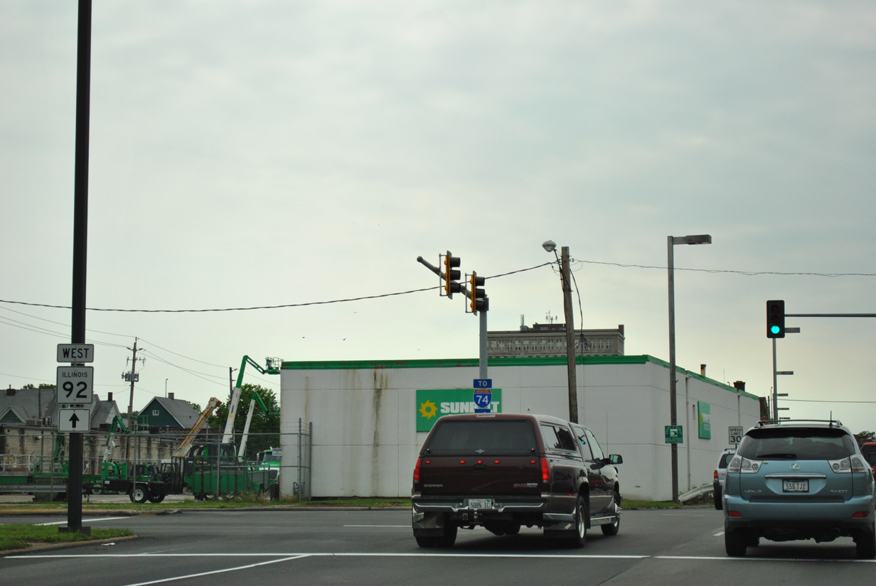
| IL 92 passes below Interstate 74/U.S. 6 with no direct access ahead of 19th Street. 05/29/11 |
|
| A wye interchange connects River Drive with the Iowa-Illinois Memorial Bridge (I-74/U.S. 6) north into Bettendorf, Iowa nearby. 05/29/11 |
|
| 19th Street is the pre-freeway alignment of U.S. 6 leading south from 5th Avenue to 27th Street. The surface road was also a part of U.S. 150 until it was truncated to U.S. 6 east of MLI Airport. 05/29/11 |
|
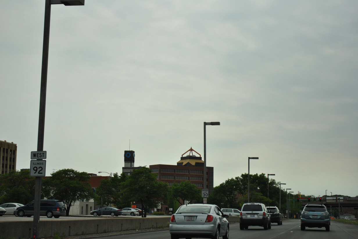
| Heritage Place, a seven-story building, appears along the south side of IL 92 as the state route continues west from 19th Street. 05/29/11 |
|
| 17th Street intersects IL 92 (4th Avenue) west at the next signal. The street runs north to Bass Street Landing on the Mississippi River. 05/29/11 |
|
| 16th Street leads south from 4th Avenue to Moline City Hall as a flyover passes overhead from the Rock Island Arsenal bridge. 05/29/11 |
|
| 15th Street crosses the adjacent railroad tracks to John Deere Pavilion. The flyover from Rock Island Arsenal touches down with a left side merge onto IL 92 ahead. 03/12/17 |
|
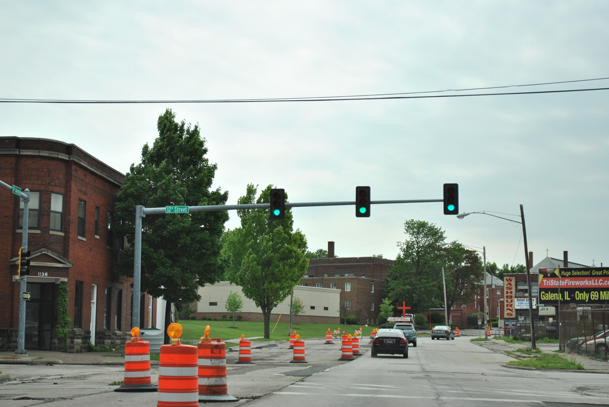
| Westbound IL 92 (4th Avenue) at 12th Street, which provides access to the TaxSlayer Center, a 12,000-seat entertainment venue. The arena was formerly the home of the ECHL Quad City Mallards. 05/29/11 |
|
| 4th and 5th Avenues shift slightly north coinciding with the adjacent bluffs between 8th and 6th Streets. 05/29/11 |
|
| A short piece of 4th Avenue extends west from the S-curve of IL 92 to 7th Street. 05/29/11 |
|
| An older set of trombone truss arm signals posted at a cross walk by 4th Street. 05/29/11 |
|
| 4th Avenue transitions to 6th Avenue at 46th Street and the Rock Island City line. The avenue shifts northward a half block between 46th and 44th Streets. 05/29/11 |
Page Updated 05-15-2018.


 West
West