|
| Advancing south from Poamoho Stream and Poamoho Camp, Route 99 separates from Kamehameha Highway for Kamanaui Road west. Route 80 continues Kamehameha Highway southeast to Wahiawa. 01/17/11 |
|
| Traffic headed to Honolulu is directed to remain on Route 99 (Kamanaui Road) southbound to bypass Wahiawa to Interstate H2. Route 80 runs 1.89 miles south past Whitmore Village and through Wahiawa. 01/17/11 |
|
| Kamanaui Road angles Route 99 southwest 1.18 miles from Kamehameha Highway to Wilikina Drive. 01/17/11 |
|
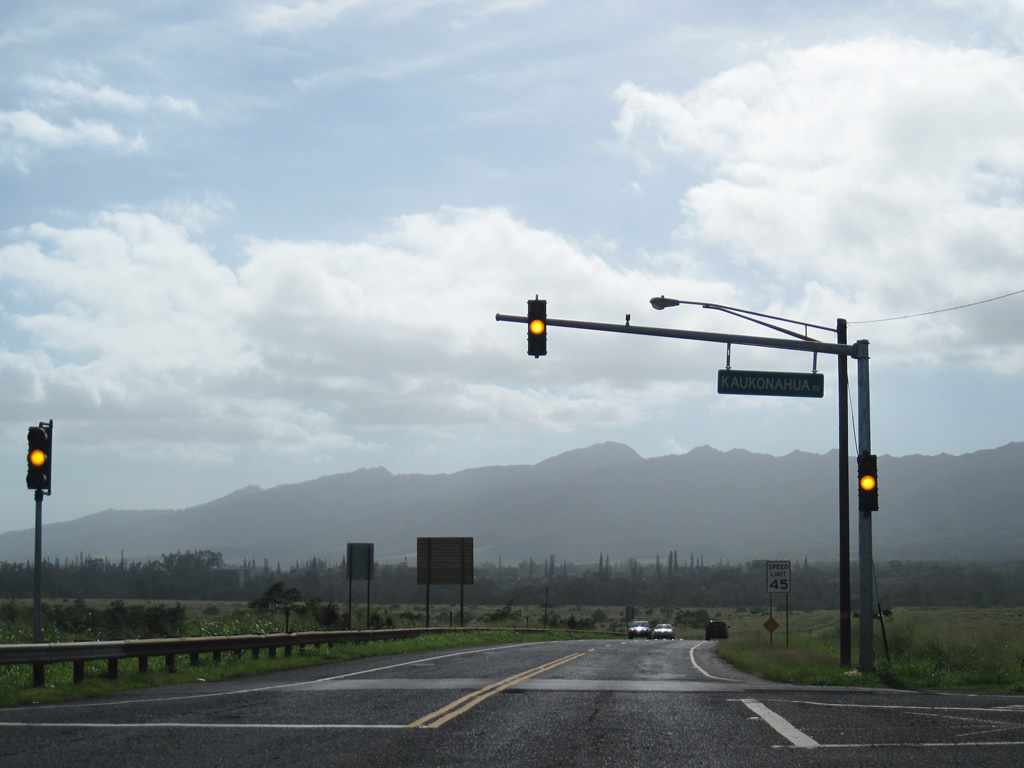
| Route 99 meets unsigned County Route 801 (Kaukonahua Road) a short distance beyond Route 80. Kaukonahua Road provides a direct route between Wahiawa and Wilikina Drive (Route 803) northwest to Waialua. 01/17/11 |
|
| Continuing southwest along Route 99 (Kamanaui Road) with the Waianae Range in view. 01/17/11 |
|
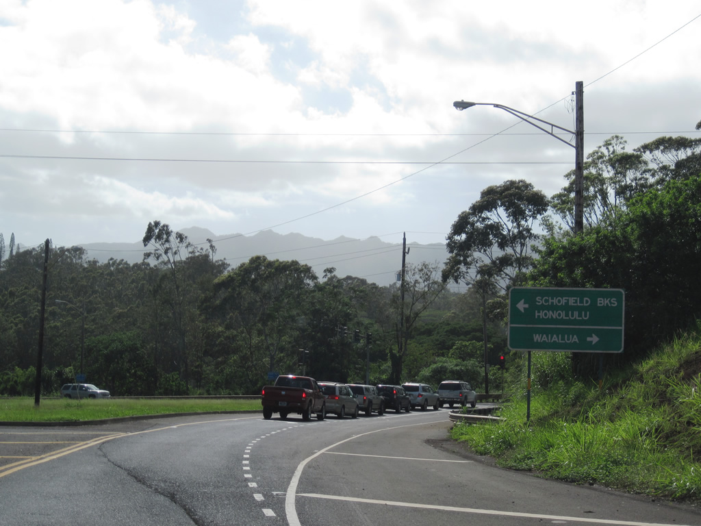
| County Route 803 (Wilikina Drive) travels 5.82 miles northwest from Route 99 to Route 930 (Farrington Highway). Farrington Highway extends 6.68 miles west to Waialua, Dillingham Kawaihapai Air Field (HDH) and Kaena Point State Park. 01/17/11 |
|
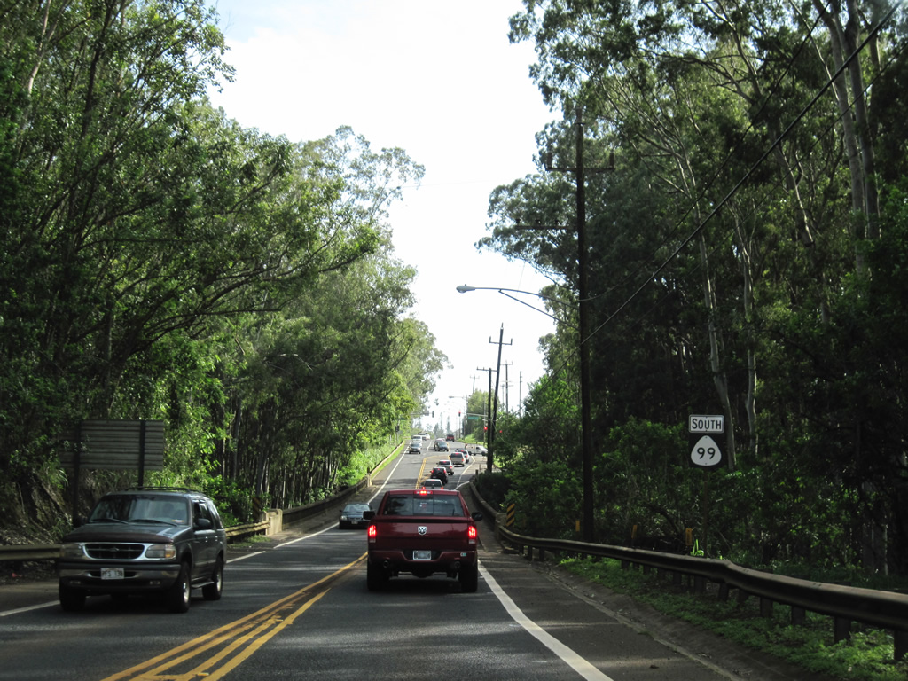
| Route 99 overtakes Wilikina Drive from unsigned Route 803 and quickly spans Kaukonahua Stream across a bridge dating back to 1944. 01/17/11 |
|
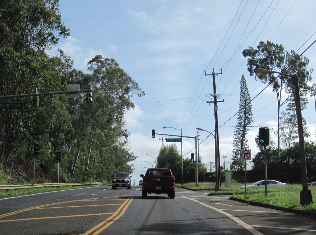
| Southbound Route 99 (Wilikina Drive) at the McNair Gate to Schofield Barracks. Wilikina Drive expands to four lanes beyond the traffic light. 01/17/11 |
|
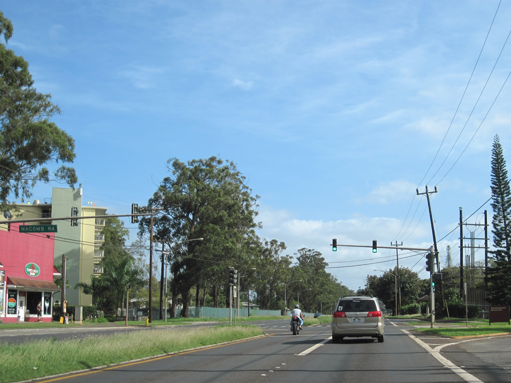
| Maccomb Road connects Route 99 (Wilikina Drive) with parallel Waianae Avenue in Schofield Barracks. 01/17/11 |
|
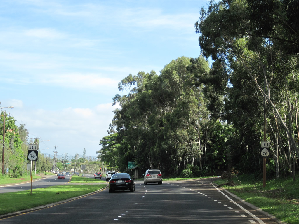
| Turning eastward, Route 99 next meets the north end of Route 750 (Kunia Road). Signed here as Route 76, the original number of Kunia Road, Route 750 runs 8.05 miles southward to Kunia Camp and Interstate H1 at Waipahu. 01/17/11 |
|
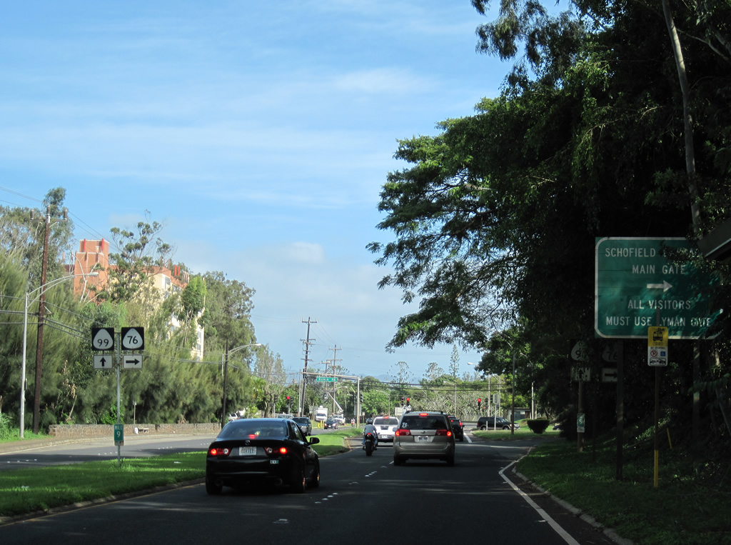
| Route 750 (Kunia Road) travels south between Schofield Barracks and Wheeler Army Airfield. Kunia Road provides access to the main and visitors gates to the barracks. 01/17/11 |
|
| Route 750 (Kunia Road) south transitions into Route 76 (Fort Weaver Road) at I-H1. Route 76 extends the arterial south 6.62 miles to 'Ewa Beach. 01/18/11 |
|
| An entrance to Kawahi Malawai Apartments ties into the signalized intersection joining Route 99 (Wilikina Drive) and Route 750 (Kunia Road) from the north. 01/17/11 |
|
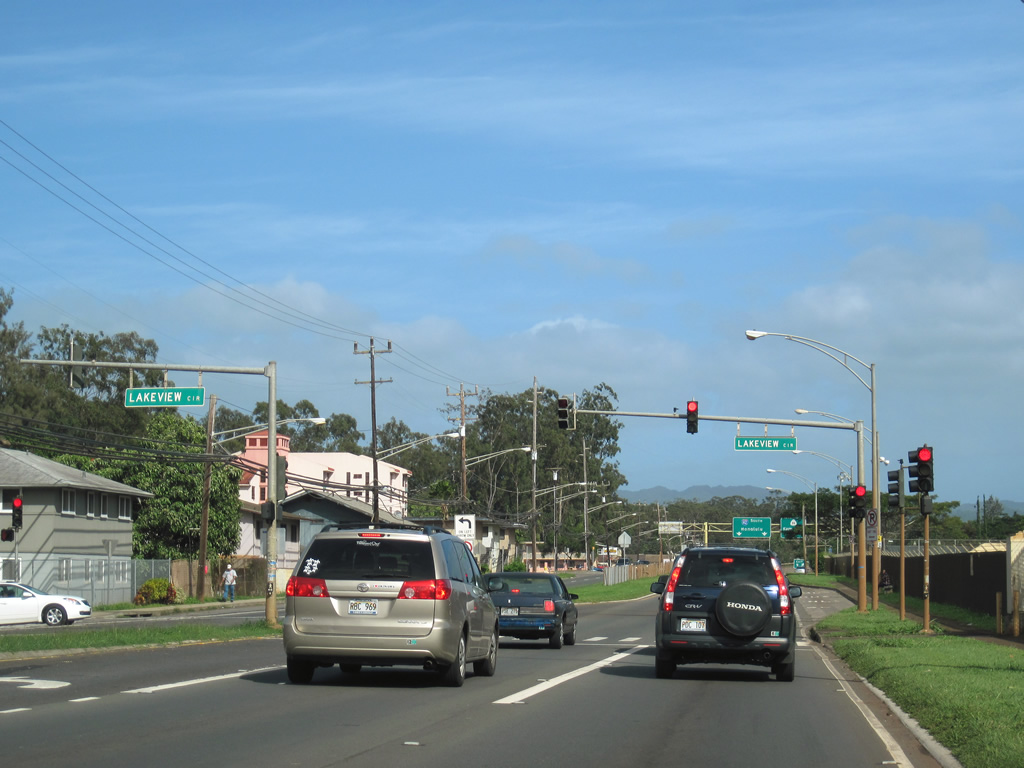
| Paralleling Wahiawa Reservoir, Route 99 proceeds east to intersect Lakeview Circle, the entrance to a neighborhood bound by Wilikina Drive and the Kaukonahua Stream South Fork. 01/17/11 |
|
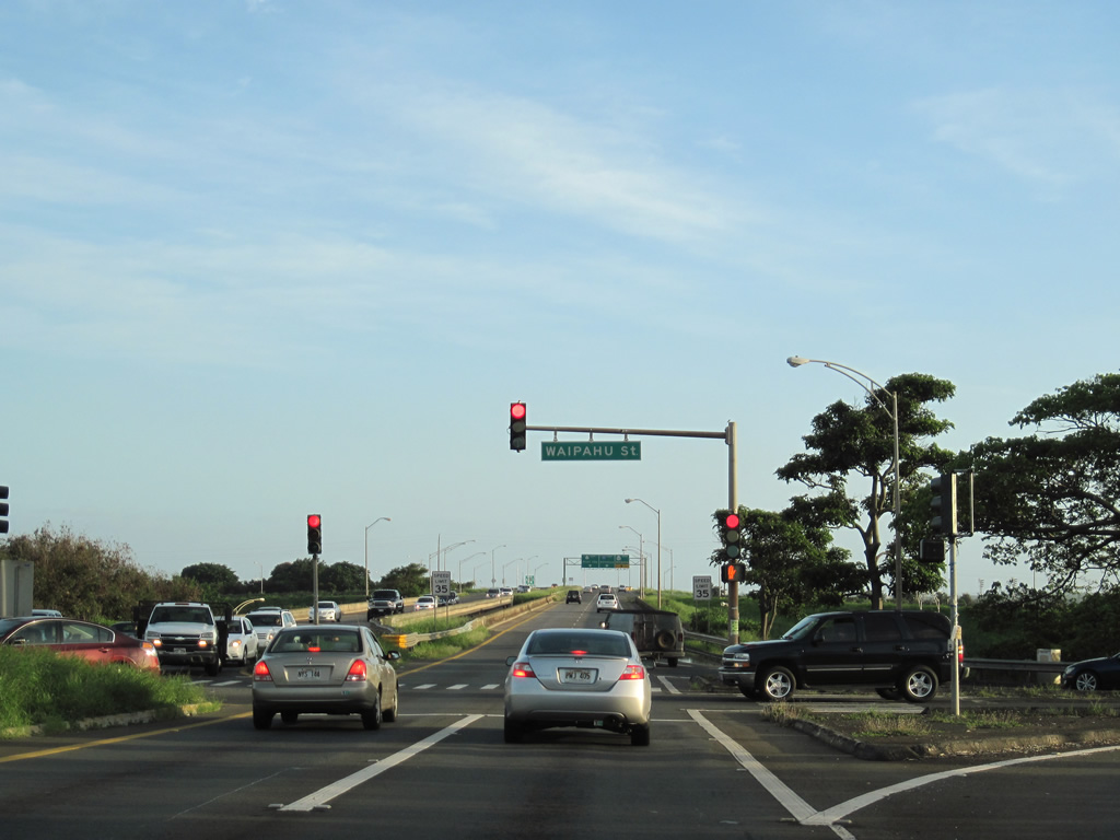
| Southbound Route 99 (Kamehameha Highway) at Waipahu Street. Waipahu Street (Route 7142) heads 3.02 miles west from Waipio across Waipahu to Route 76 (Fort Weaver Road). 01/17/11 |
|
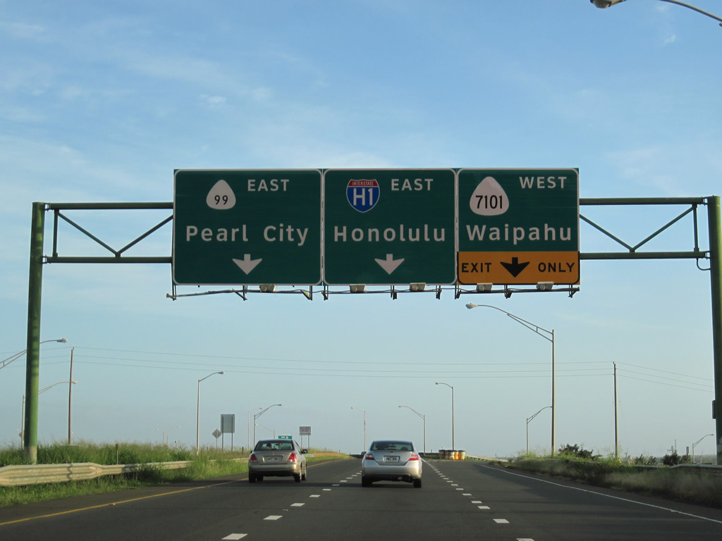
| A trumpet interchange joins Route 99 (Kamehameha Highway) southbound with Farrington Highway and Route 7101 west. Farrington Highway extends 3.00 miles west through Waipahu as Route 7101. 01/17/11 |
|
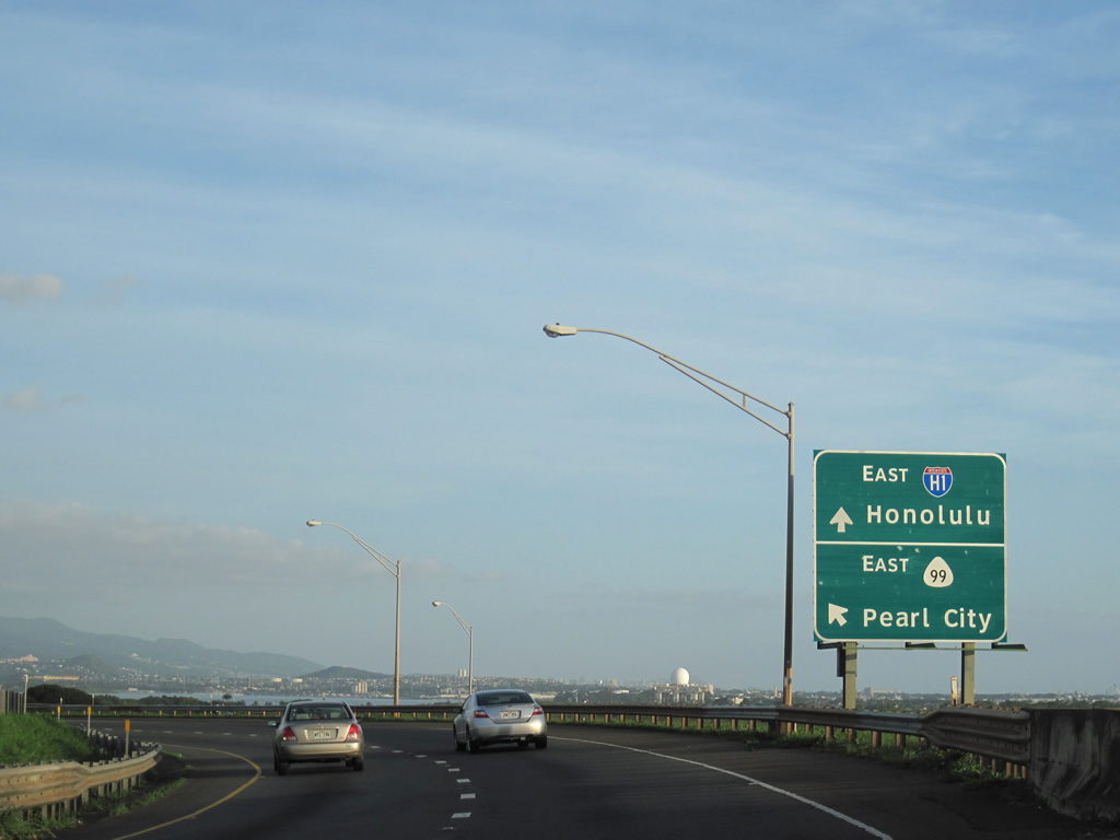
| Route 99 southbound joins Farrington Highway east to Pearl City beyond the entrance ramp for Interstate H1 east to Honolulu. 01/17/11 |
|
| Route 99 overtakes Farrington Highway east from Route 7101 back to Kamehameha Highway just beyond Interstate H1. 01/17/11 |
|
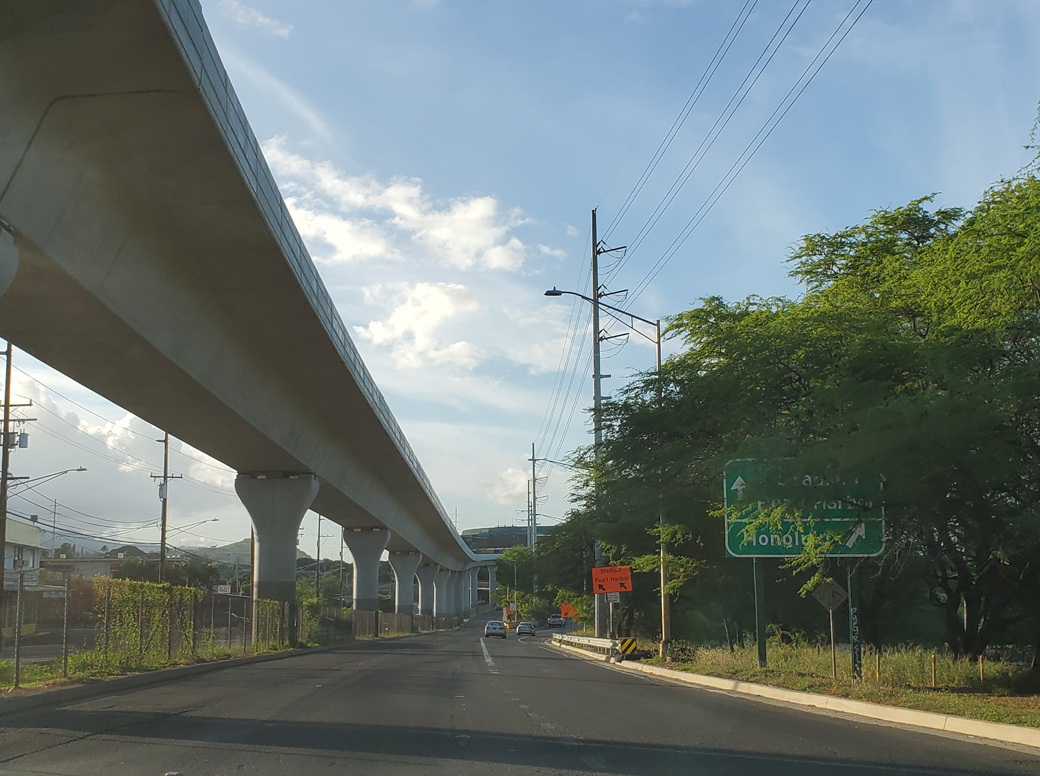
| Route 99 (Kamehameha Highway) at Aiea converges with Route 78 (Moanalua Freeway) at a wye interchange. Route 78 becomes Interstate H201 just east of Aloha Stadium at I-H1. 08/15/19 |
|
| Two lanes separate from Route 99 (Kamehameha Highway) south for Route 78 east 0.74 miles to I-H201 at the Halawa Interchange. Ramps along the Moanaula Freeway provide access to I-H1 east to Honolulu International Airport (HNL) and I-H3 east to Kaneohe. 08/15/19 |
|
| Interstate H201 stretches 4.08 miles from the Halawa Interchange near Aloha Stadium to I-H1 (Lunalilo Freeway) in Honolulu. The Interstate designation replaced Route 78 east of I-H1 when it was signed in 2004. 01/17/11 |
|
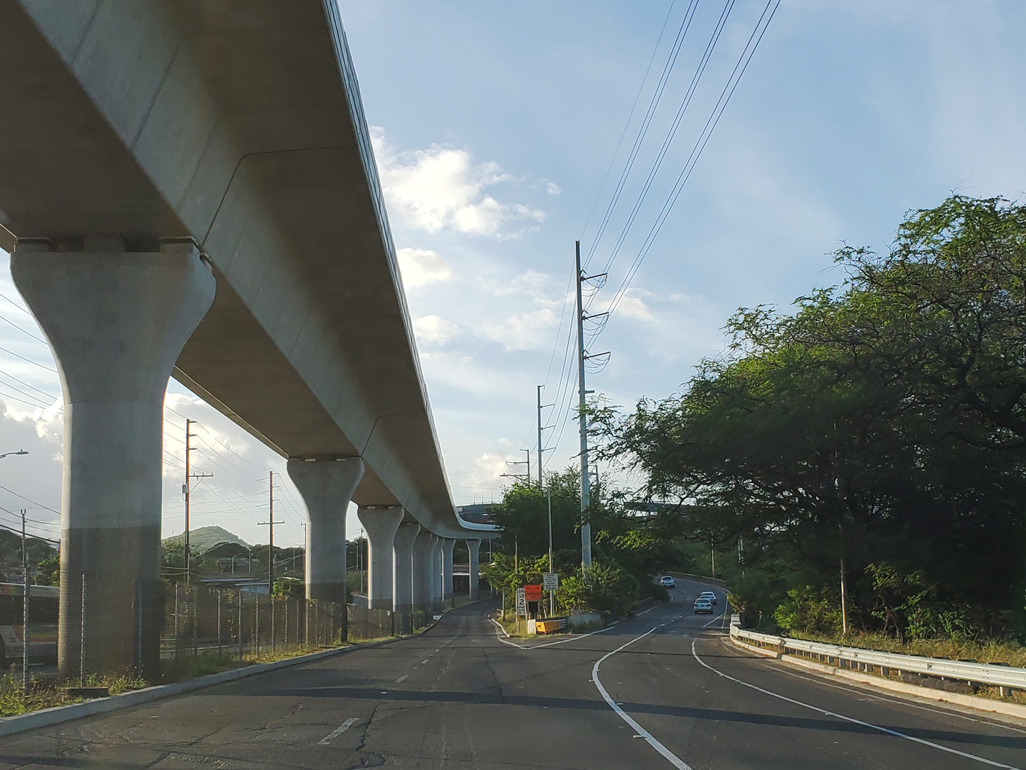
| A second wye interchange brings an on-ramp from Moanalua Road and Aiea onto Route 99 (Kamehameha Highway) southbound ahead of Salt Lake Boulevard. 08/15/19 |
|
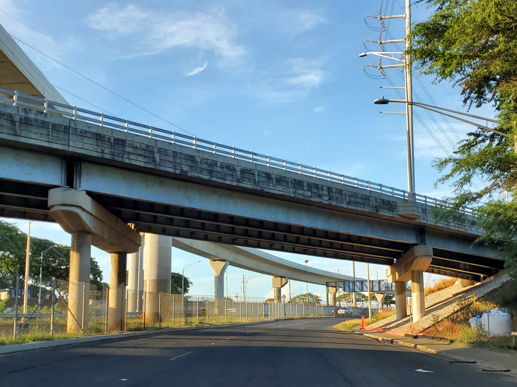
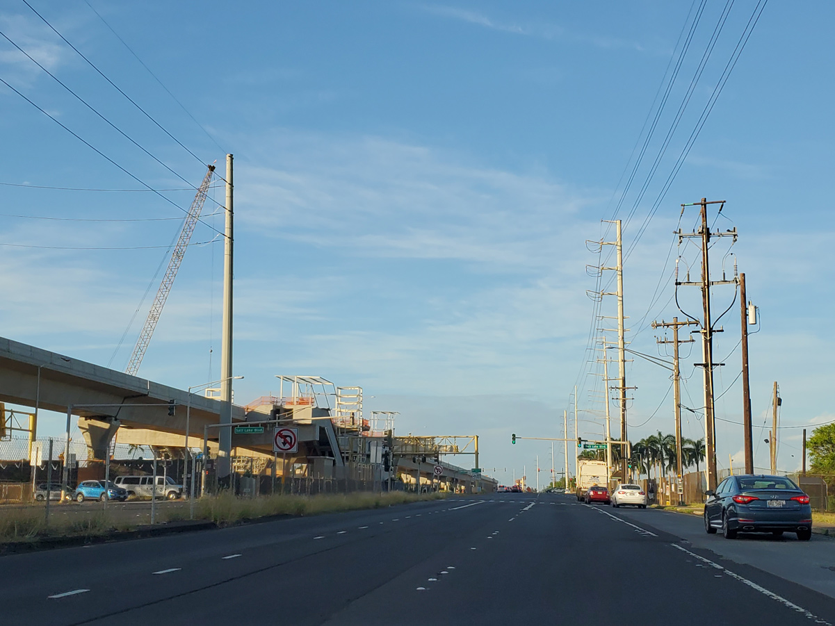
| Route 99 (Kamehameha Highway) intersects Salt Lake Boulevard just beyond the ramps with Route 78 and Moanalua Road. This overhead was removed. 01/17/11 |
|
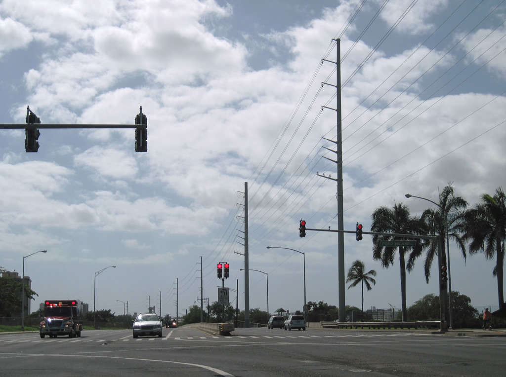
| Salt Lake Boulevard westbound ties into Route 99 adjacent to Aloha Stadium and the Halawa Aloha Stadium Station along the Skyline light rail line. 08/15/19 |
|
| Ford Island Boulevard spans the East Loch of Pearl Harbor across the Admiral Clarey Bridge to Ford Island Naval Reservation. Salt Lake Boulevard eastbound leads east to Aloha Stadium and south to Foster Village and Aliamanu. 01/17/11 |
|
| Route 99 (Kamehameha Highway) concludes south at a directional T interchange with Route 92 (Nimitz Highway) and Interstate H1 (Queen Liliuokalani Freeway) near Aliamanu. 08/09/10 |
|
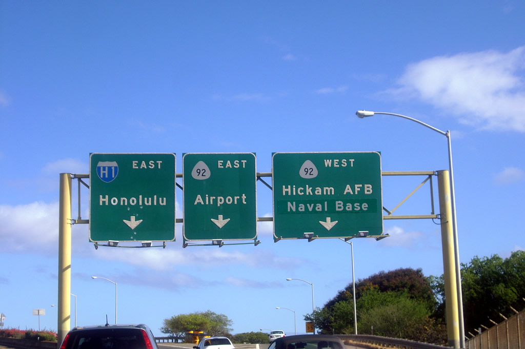
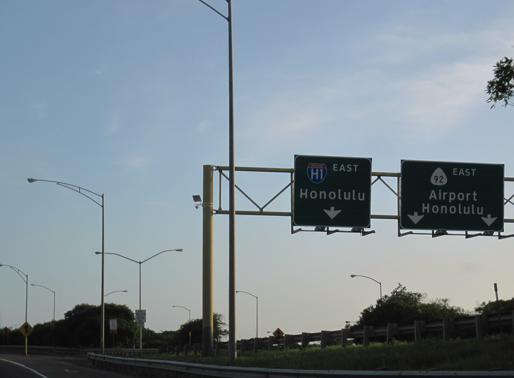
| Route 92 (Nimitz Highway) spurs west from I-H1 along a freeway to Joint Base Pearl Harbor-Hickam (HBB). Route 92 east parallels I-H1 to Honolulu International Airport and Kalihi Kai in Honolulu. 01/17/11 |
Page Updated 01-22-2024.