SR 113 provides one of the main routes to Pensacola, Florida from Interstate 65 through Escambia County. The state route leads 13.51 miles south from I-65 to combine with U.S. 29/31 west 1.14 miles into Flomaton. U.S. 31 continues west to Atmore while U.S. 29/SR 113 turn south 0.807 miles to the Florida state line at Century.
An increasingly important route for logging interests, hurricane evacuations, and tourist traffic to the Emerald Coast, planning for the expansion of SR 113 to a four lane highway commenced in 1967. Construction expanded the route finally got underway on September 11, 2007 and was completed on November 13, 2008.1
|
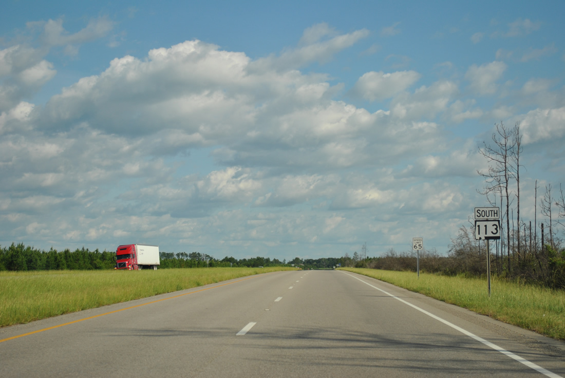
| Separating from U.S. 29/31, SR 113 angles northwest initially along a five lane boulevard. Beyond the Flomaton town limits, SR 113 expands to a four lane, divided highway with a 65 MPH speed limit. 04/13/12 |
|
| When it was constructed in the 1970s, SR 113 replaced the route of CR 27 north from Flomaton. CR 27 (Sardine Road) branches northwest toward Stanley Crossroads from SR 113 ahead of CR 6. 04/13/12 |
|
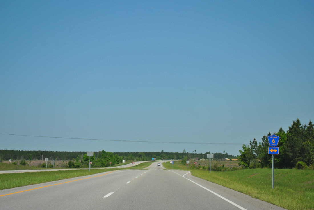
| SR 113 meets CR 6 (Wolf Log Road) to the immediate north of CR 27 (Sardine Road). 04/13/12 |
|
| Escambia County Route 6 travels 1.5 miles west to CR 25 (Upper Creek Road) and southeast 6.8 miles to Osaka, U.S. 29/31 and Old Highway 31 outside the town of Pollard. 04/13/12 |
|
| Pine tree farms line both sides of SR 113 north from CR 6 (Wolf Log Road) to Pineview and Interstate 65. 04/13/12 |
|
| SR 113 north lowers to cross Hall Creek beyond milepost 7. 04/13/12 |
|
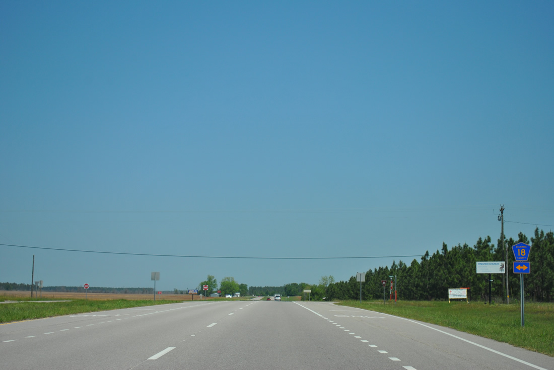
| Escambia County Route 18 (Foshee Road) crosses paths with SR 113 at the settlement of Pineview. 04/13/12 |
|
| Heading west, CR 18 leads 2.9 miles to CR 27 (Sardine Road) near Stanley Crossroads. Foshee Road takes CR 18 east 11.0 miles to Foshee and U.S. 29/31 outside Brewton. 04/13/12 |
|
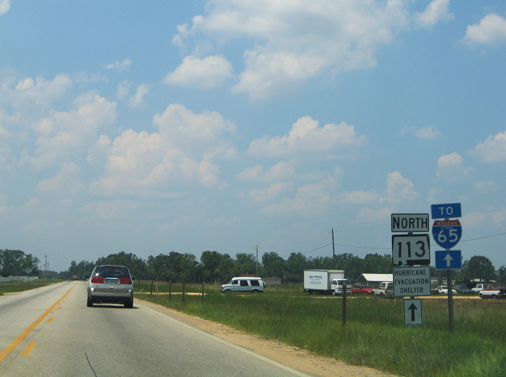
| A handful of traveler services line SR 113 leading into the diamond interchange (Exit 69) with Interstate 65. SR 113 transitions into a five lane boulevard north from CR 17 (Stanley Road) to the exchange. 04/13/12 |
|
| Connecting Mobile and Lower Alabama with the capital city of Montgomery, Interstate 65 travels 27.92 miles through northwestern Escambia County. 06/21/05 |
|
| The four laning of SR 113 completed in 2008 concludes at the northbound entrance ramp for Interstate 65. The overpass built in 1960 across the freeway was unchanged during that road work. 04/13/12 |
|
| CR 17 (Barnett Highway) extends 4.2 miles from the north end of SR 113 at I-65 to CR 40 at Barnett Crossroads, and the Conecuh County line. 10/04/01 |
|
| The first southbound shield for SR 113 precedes CR 17 (Stanley Road) beyond the exchange with Interstate 65. CR 17 angles southwest 4.8 miles to CR 25 (Upper Creek Road) and CR 27 (Sardine Road / Robinsonville Road) at Stanley Crossroads. 07/31/11 |
|
| Turning south at Pineview Circle W, SR 113 advances to CR 18 (Foshee Road) at Pineview. 07/31/11 |
|
| CR 18 follows Foshee Road west to CR 27 (Sardine Road) near Stanley Crossroads and east to Foshee and U.S. 29/31 on the outskirts of Brewton. 07/31/11 |
|
| SR 113 confirming marker posted south of Pineview. Pine forest farms make up the majority of the land adjacent to the four lane highway. 07/31/11 |
|
| SR 113 lowers to cross Hall Creek. 06/25/12 |
|
| Escambia County Route 6 crosses SR 113 from CR 25 to the west en route to Osaka, U.S. 29/31 and Old Highway 31 near Pollard. 06/25/12 |
|
| SR 113 shield posted south of County Route 6 (Wolf Log Road). 06/25/12 |
|
| CR 27 (Sardine Road) converges with SR 113 south of CR 6. SR 113 replaced CR 27 leading south into Flomaton, though portions of the former alignment remain in service as Old Sardine Road. 06/25/12 |
|
| Entering the city limits of Flomaton along SR 113 south. The four lane highway narrows onto a five lane boulevard as the speed limit reduces. 06/25/12 |
|
| SR 113 combines with U.S. 29/31 south of Phillips Road in Flomaton. 06/25/12 |
|
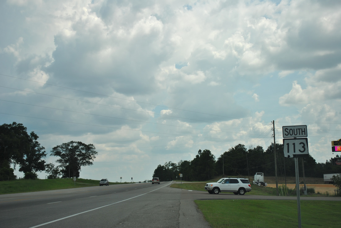
| U.S. 29/31 combine for 14.4 miles northeast between Flomaton and Brewton. SR 113 overlaps with U.S. 29/31 west to Sidney E. Manning Boulevard, and with U.S. 29 south from there to Century, Florida. 07/31/11 |
|
| U.S. 29/31-SR 113 constitute a five lane boulevard southwest across Big Escambia Creek to the Flomaton street grid. The four lane corridor along U.S. 29/31 leads to Downtown Brewton, where the routes separate for East Brewton and Castleberry respectively. 07/31/11 |
|
| SR 113 turned north from U.S. 29/31 at Flomaton with just two lanes. 06/21/05 |
|
| SR 113 north at CR 27 (Sardine Road). 06/21/05 |
|
| SR 113 north at CR 6 (Wolf Log Road). 06/21/05 |
|
| Confirming marker posted north of CR 6. 06/21/05 |
|
| SR 113 north at CR 18 (Foshee Road) and Pineview. 06/21/05 |
|
| SR 113 angles northwest from Pineview 5.6 miles to Interstate 65. 06/21/05 |
|
| SR 113 remained with two lanes north to Interstate 65. 06/21/05 |
Sources:
- "Widened Highway 113 Opens Joint Alabama And Florida Project." NorthEscambia.com, November 13, 2008.
10/04/01, 06/21/05, 07/31/11, 04/13/12, 06/25/12 by AARoads
Connect with:
Interstate 65
U.S. 29
U.S. 31
Page Updated 10-08-2012.