|
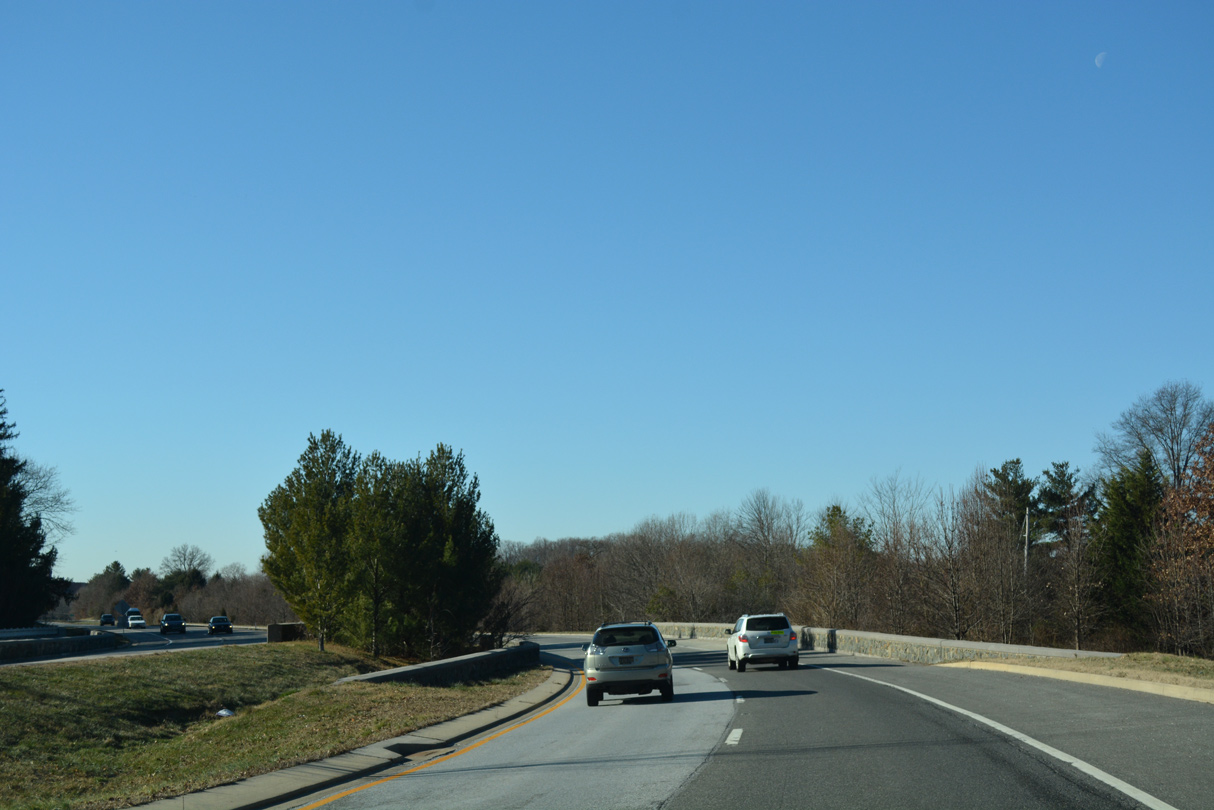
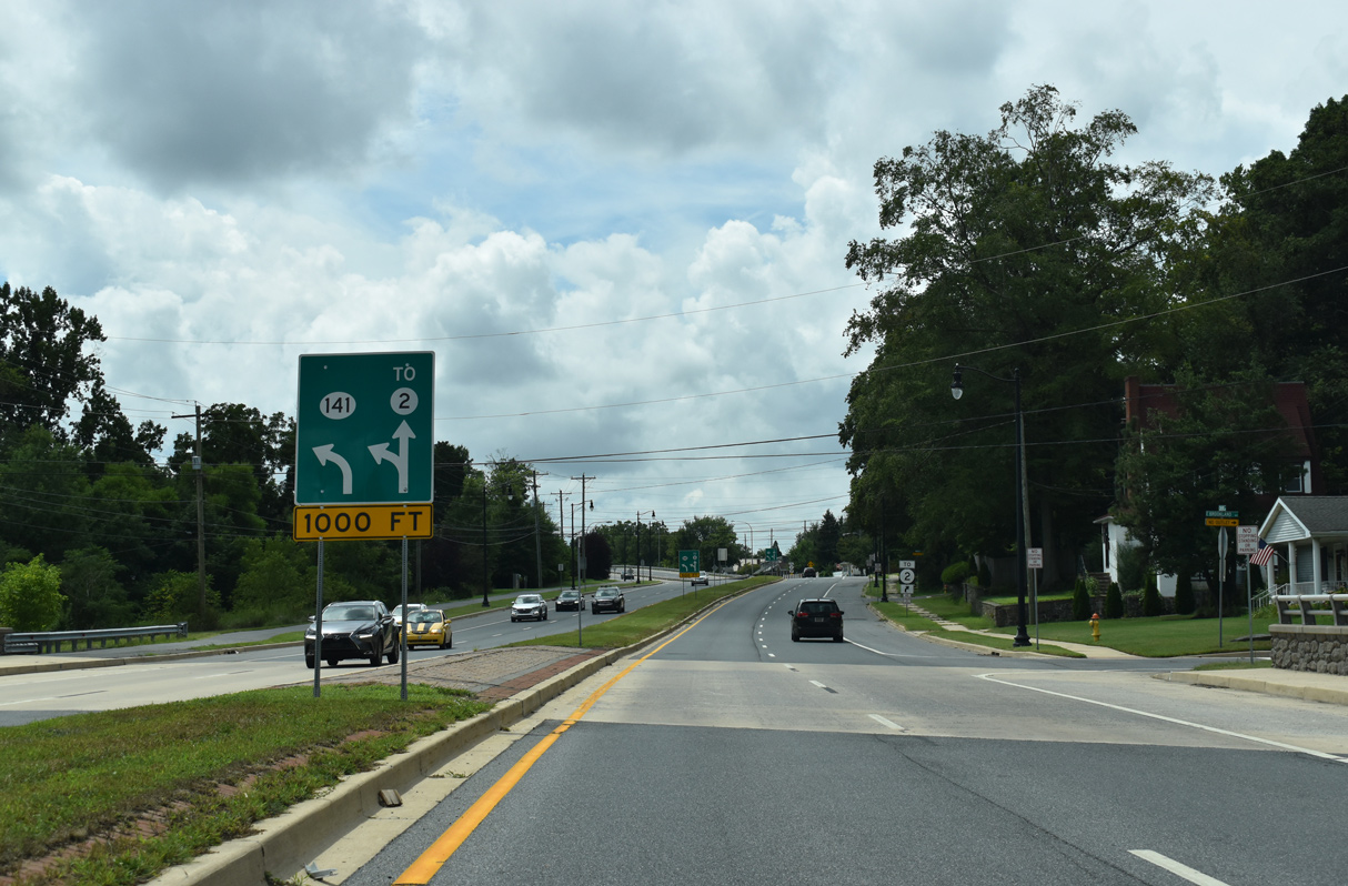
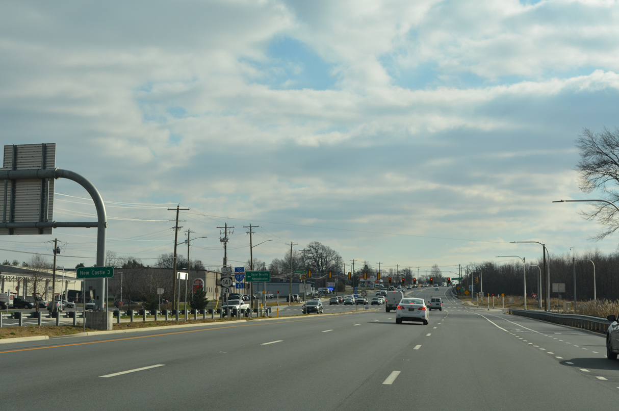
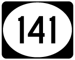
| SR 141 extends Foulk Road south from SR 261 to the grade separated intersection with U.S. 202 (Concord Pike). The first confirming marker for the state route stands ahead of the traffic light with the northbound off-ramp from Concord Pike. 12/20/16 |
|
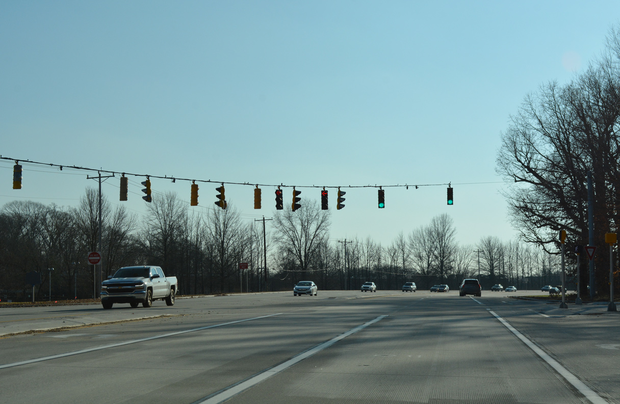
| Ramps from SR 261 south and SR 141 northbound converge at a traffic light on the U.S. 202 (Concord Pike) overpass. Historically an at-grade intersection connected Concord Pike with both Foulk Road northeast and Rockland Road northwest here. 12/20/16 |
|
| West Park Road meanders alongside Concord Pike south from SR 141 as a local connector to Rockland Road, East Park Drive and Augustine Cut-off. 12/20/16 |
|
| SR 141 curves northwest from the southbound U.S. 202 off-ramp and West Park Drive along Route 141 Spur. 12/20/16 |
|
| Traffic lights operate along SR 141 at the entrance to the JPMorgan Chase & Co. office complex. 12/20/16 |
|
| SR 141 next approaches Powder Mill Road east and Childrens Drive west. 12/20/16 |
|
| Childrens Drive links the state route with Rockland Road and the Alfred DuPont Hospital for Children. 12/20/16 |
|
| SR 141 overtakes Powder Mill Road west from Childrens Drive. Construction in the mid-1990s realigned Powder Mill Road west from U.S. 202, eliminated the intersection with Dexter Road, and added an underpass for Rockland Road.
A confirming marker for SR 141 was previously posted on this stretch. 12/20/16 |
|
| Alapocas Drive winds south from SR 141 to Alapocas Run State Park and Augustine Cut Off just outside Wilmington. 12/20/16 |
|
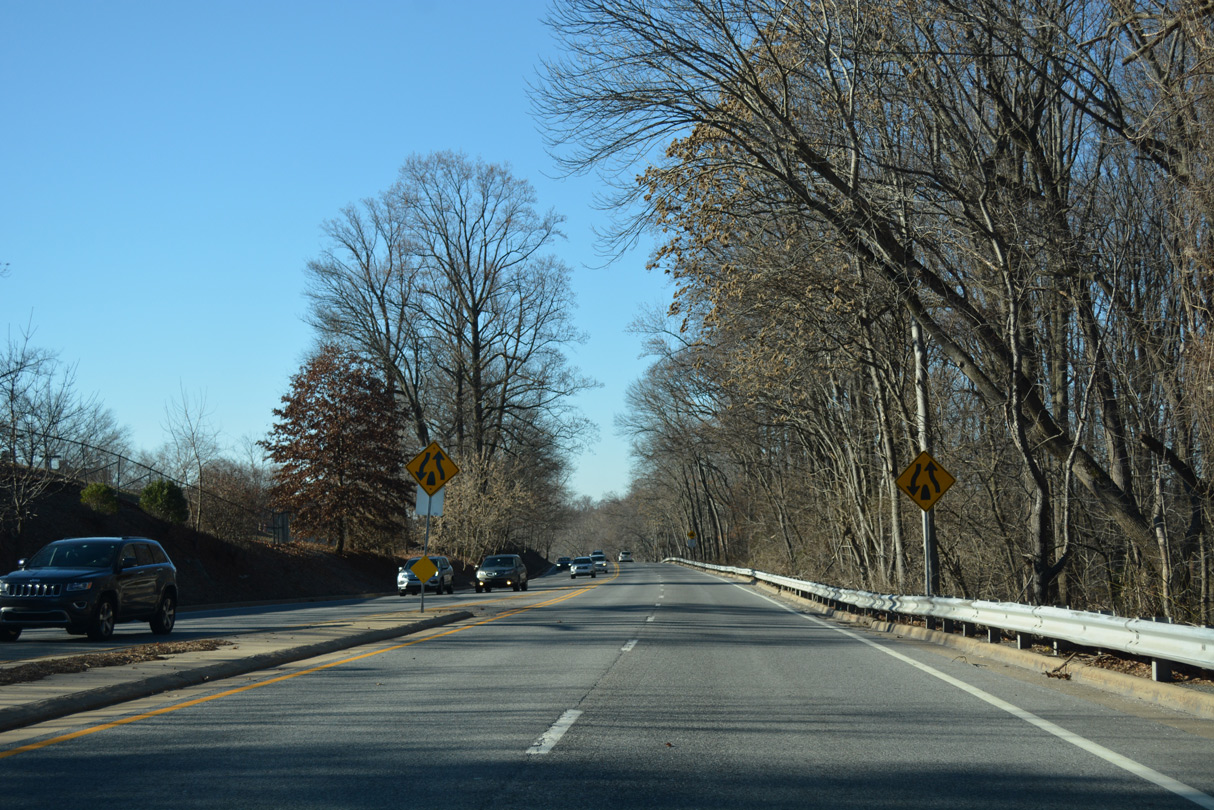
| West from the intersection with Alapocas Drive south, SR 141 (Powder Mill Road) narrows to two lanes and runs alongside the Dupont Experimental Station to the Tyler McConnell Bridge at Rising Sun Lane. 12/20/16 |
|
| SR 141 turns west onto Barley Mill Road to cross Brandywine Creek into Greenville. Powder Mill Road extends south as a local route to Rising Sun Lane and north Wilmington at Rockford Park. 12/20/16 |
|
| The Tyler McConnell Bridge carries drivers along SR 141 high above Brandywine Creek by the historic Hagley Museum. With just two lanes, the metal girder bridge represents a source of traffic congestion along the state route. The 816 foot span opened to traffic in December 1952. 12/20/16 |
|
| Ascending from the Tyler McConnell Bridge, SR 141 (Barley Mill Road) quickly expands into a four lane divided highway ahead of SR 100 (Montchanin Road) and SR 52 (Kennett Pike). This stretch to Montchanin Road was expanded from two lanes in 2004-05. 12/20/16 |
|
| Montchanin Road provides access to SR 52 (Kennett Pike) south to Wilmington. Prior to 1989, SR 100 continued south to a short overlap with SR 52 and Dupont Road. The state route was relocated along SR 141 to deter truck traffic through the Westover Hills community. 12/20/16 |
|
| SR 100 (Montchanin Road) stems north from SR 141 (Barley Mill Road) to Montchanin, Brandywine Creek State Park and the Pennsylvania state line. Until 2002, it formed a multi-state route with PA 100 north to West Chester. 12/20/16 |
|
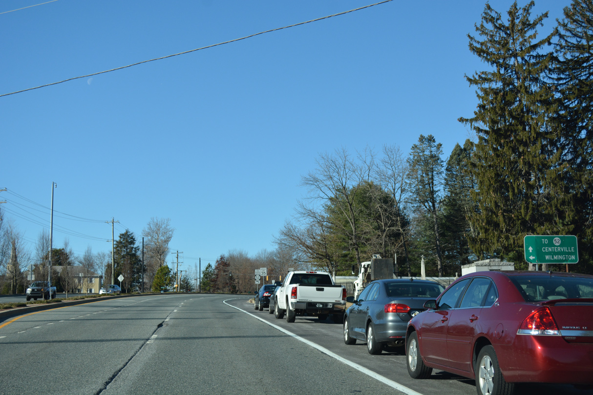
| A parclo interchange joins SR 100/141 south directly with SR 52 (Kennett Pike) north through Greenville to Centerville. SR 52 extends north into the Keystone State as PA 52 to U.S. 1 at Longwood. 12/20/16 |
|
| Traffic to Kennett Pike departs from SR 100/141 south as the pair turn southwest along a short freeway. 12/20/16 |
|
| Curving south, SR 100/141 pass under a Delaware Valley Railroad line by the Westover Hills community. 12/23/18 |
|
| The limited access segment of SR 141 replaced a portion of Barley Mill Road west from Kennett Pike. The old road was realigned to connect with the state route opposite Barley Mill Plaza. 12/23/18 |
|
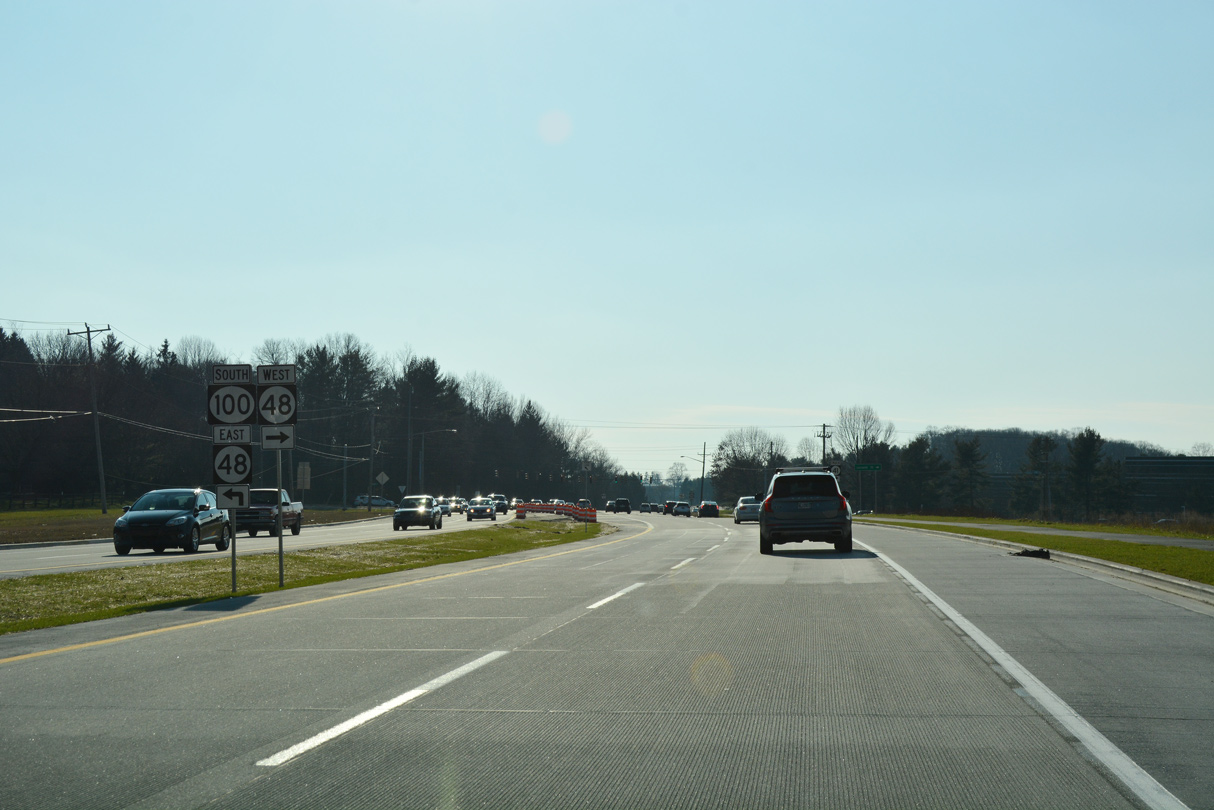
| SR 100 concludes a 1.4 mile concurrency with SR 141 (Centre Road) and merges with SR 48 (Lancaster Pike) south to Wilmington. 12/23/18 |
|
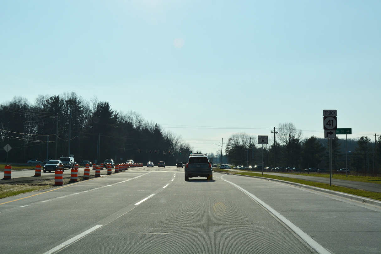
| SR 48 (Lancaster Pike) extends northwest with four lanes to Hercules Road, and with two lanes to SR 41. Lancaster Pike continues along SR 41 to the state line, where PA 41 takes over en route to Avondale, Cochranville and U.S. 30 at Gap. 12/23/18 |
|
| SR 48 originates in Downtown Wilmington and ends at SR 41 outside Hockessin. SR 100 follows the state route southeast one mile to Dupont Road, where it rejoins its original alignment to Elsmere and Richardson Park. 12/23/18 |
|
| SR 141, along with SR 48, forms part of the preferred truck route between Interstate 95 in northern Delaware and Lancaster, Pennsylvania. 12/22/16 |
|
| SR 141 travels four miles south from SR 48 (Lancaster Pike) to the town of Newport. 12/22/16 |
|
| Chestnut Run meets SR 141 (Centre Road) at the first of two entrances to the adjacent Delledonne Corporate Center. 12/22/16 |
|
| Remaining a controlled access arterial, SR 141 next intersects Mall Road east into the Delledonne Corporate Center and the entrance to Ferris School. 12/22/16 |
|
| Continuing south, Centre Road approaches Faulkland Road (former SR 34) and Chestnut Run Shopping Center. 06/05/12 |
|
| Decommissioned in 2019, SR 34 comprised a short route east to SR 100 (Dupont Road) and west to Brandywine Springs Park, SR 41 (Newport Gap Pike), and Duncan Road near Delcastle Park. 12/22/16 |
|
| Centre Road angles southwest from Faulkland Road toward Prices Corner. Construction completed in 2009 expanded this section of SR 141 into a divided arterial with 12 foot travel lanes and full shoulders. A right of way fence was added along the rebuilt west side frontage road while the east side frontage road was shifted further away. 06/05/12, 12/22/16 |
|
| Traffic lights were added at an intersection built between the realignment of West Gilpin Drive (east side frontage road) and Lowry Drive to provide safe movement from the adjacent neighborhoods onto Centre Road. 12/22/16 |
|
| This reassurance marker stands west of Lowry Drive and the Willow Run subdivision along SR 141 southbound. 08/18/21 |
|
| SR 141 (Centre Road) south crosses Little Mill Creek beyond the frontage road system end at Wagoner Drive. Ferris Road (Road 330) branches west from SR 141 in 1,000 feet to connect with SR 2 (Kirkwood Highway). 08/18/21 |
|
| Ferris Road ties into Centerville and Greenbank Roads across from Prices Corner Shopping Center along SR 2 (Kirkwood Highway). Originally named Centre Road, Ferris Road also represents the former alignment of SR 141. 08/18/21 |
|
| SR 141 shifts southward at Ferris Road onto the freeway leading to Newport and Interstate 95. 08/18/21 |
|
| Freeway guide signs once directed traffic off SR 141 south to Ferris Road for SR 2 (Kirkwood Highway), as the one way street acted as an off-ramp to SR 2 west directly. There remains no direct access to eastbound, though trailblazers reference local roads to make that connection. 08/18/21 |
|
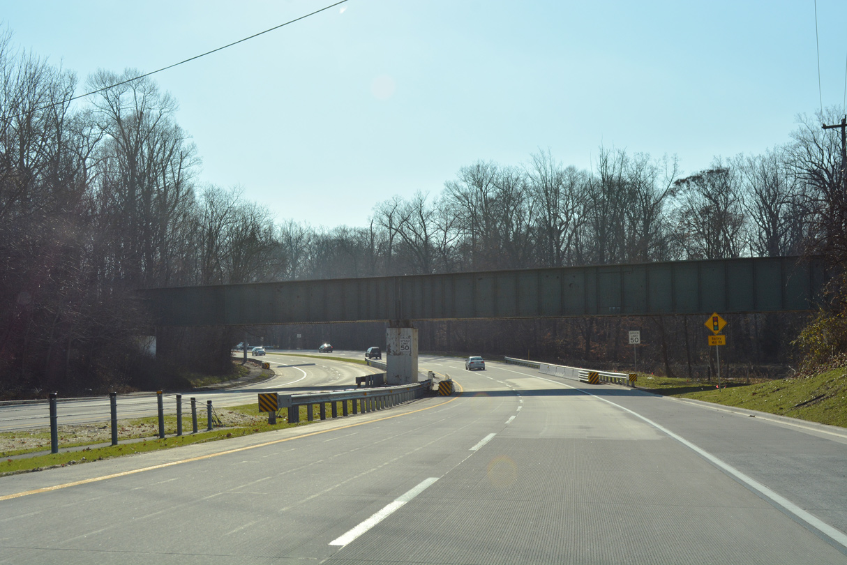
| The speed limit increases from 35 to 50 miles per hour as SR 141 south elevates through the directional cloverleaf interchange with SR 2 (Kirkwood Highway). 08/18/21 |
|
| An array of homes line Ferris Road as it diverges from SR 141 south toward the westbound ramp for SR 2. SR 2 overlapped with SR 41 between the Newport Freeway and Newport Gap Pike until 2015. The concurrency was left over from when SR 41 ran south to New Castle. 12/22/16 |
|
| A left turn takes motorists onto Kirkwood Highway west ahead of Prices Corner Shopping Center and Marshallton. SR 41 begins just to the west. 12/22/16 |
|
| While only striped for two lanes, SR 141 south expands to three lanes of concrete above SR 2. The unused lane is a remnant from original plans to extend the freeway northward. 06/10/12 |
|
| The first in a series of interchange sequence signs outlines the two Newport exits along SR 141 south as the freeway expands to seven overall lanes. 08/18/21 |
|
| The entrance ramps from Kirkwood Highway form an auxiliary lane southbound to Exit 5. Meeting the freeway in a half mile is SR 62, a short route following old SR 41 (Newport Gap Pike) north to Prices Corner and SR 2. 12/19/22 |
|
| SR 141 south passes over a CSX Railroad line ahead of the split diamond interchange (Exit 5) with SR 62. The freeway mainline continues south one mile to Downtown Newport. The community interchanges identification sign omits SR 4. 12/19/22 |
|
| Exit 5 departs SR 141 south for parallel SR 62 (Newport Gap Pike), just north of its eastern turn along Boxwood Road. Boxwood Road extends SR 62 east by the Amazon Fulfillment Center built at the former GM plant site to the Richardson Park community and SR 4 at Banning Park. 12/19/22 |
|
| The Newport Freeway reduces to four overall lanes as SR 141 drops below the adjacent street network. Frontage streets (Newport Gap Pike / James Street) accompany the freeway southward to SR 4 (Justis / Market Street). 12/19/22 |
|
| Southbound travelers gain an auxiliary lane from the Newport Gap Pike entrance ramp to Exit 4 A for James Street south to SR 4. Exit suffixes are out of order for the ensuing two off-ramps. 12/19/22 |
|
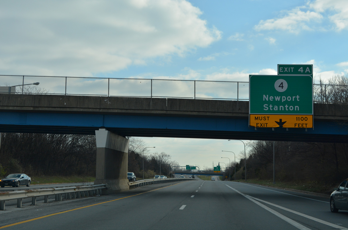
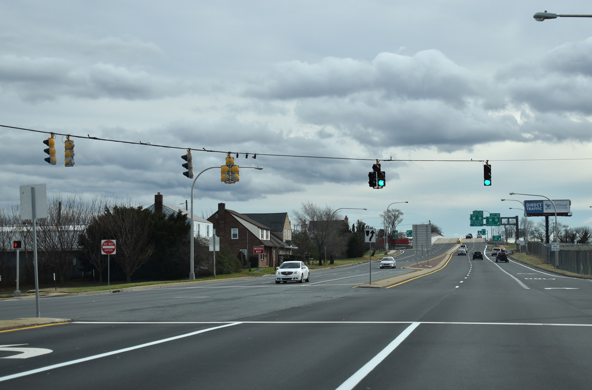
| SR 141 turns southward through the town of Newport beyond Exit 4 A to SR 4. A one way couplet takes SR 4 through Downtown Newport on Justis and Market Streets. SR 4 forms a four lane boulevard east to Richardson Park and Browntown in Wilmington while Newport Pike constitutes an older commercial arterial leading west to Stanton. 12/19/22 |
|
| Continuing south, a viaduct spans a four block area of Downtown Newport to the Christina River. Exit 4 B precedes the expansive cloverleaf interchange with I-95, I-295 and I-495 as a local access point for industrial areas south of the river. 12/19/22 |
|
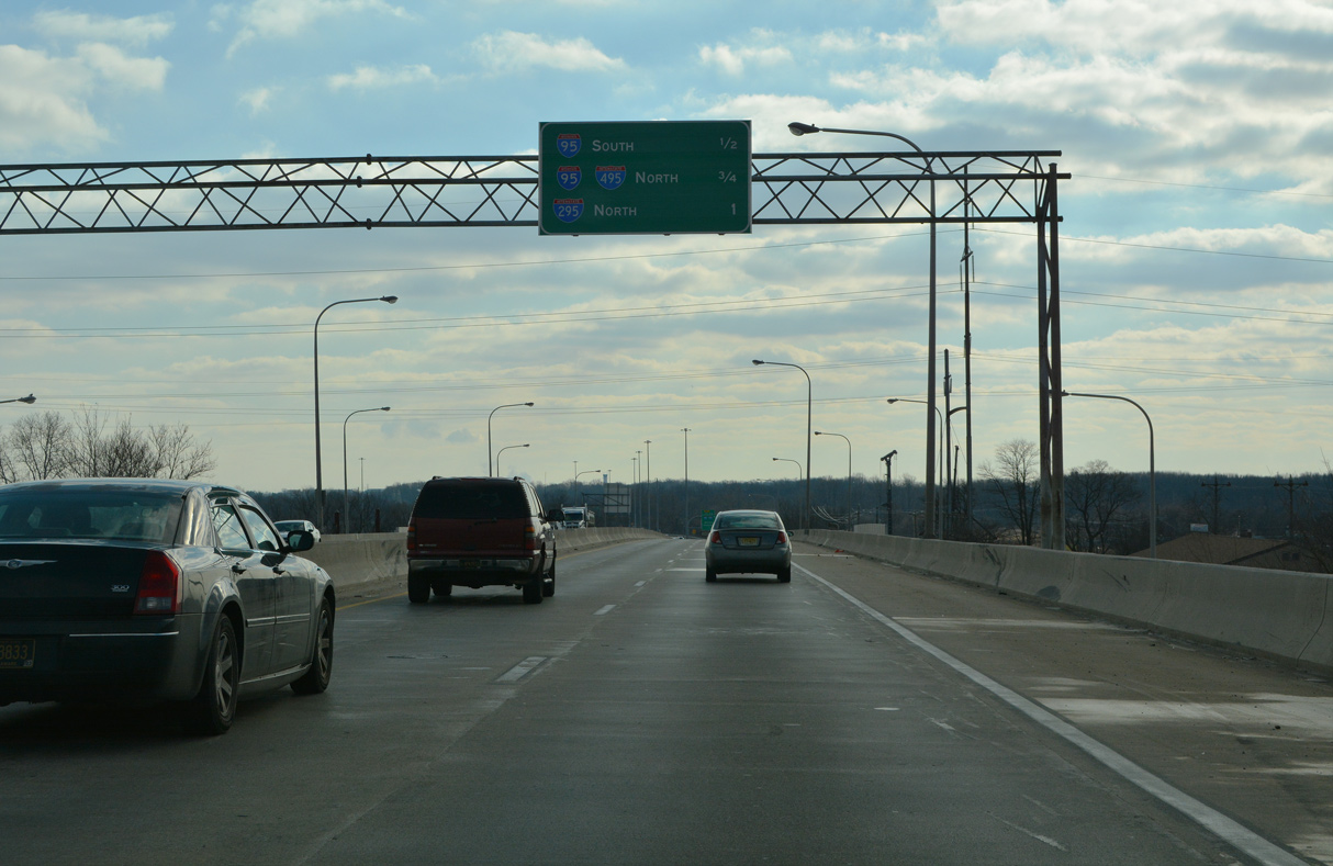
| Four successive off-ramps depart over the course of 0.8 miles from SR 141 south. Exit 3 B joins a c/d roadway along I-95 south toward Christiana and Newark. Left Exit 3 A follows for I-95 north ahead the split with I-495 to Wilmington. 12/19/22 |
|
| The viaduct system of SR 141 was completed in 1978. It replaced James Street as the former alignment of SR 41/141 leading south toward New Castle. 12/19/22 |
|
| The auxiliary lane gained from the Market Street entrance ramp extends to Exit 3 B for Interstate 95 south. 12/19/22 |
|
| Exit 4 B comprises a right in right out (RIRO) connection with parallel S James Street as it transitions to Old Airport Road (Rd 327). 12/19/22 |
|
| West from Newport, Interstate 95 constitutes a heavily traveled commuter route to SR 1 and Newark. I-95 north partitions with I-295 through the exchange with SR 141. 12/19/22 |
|
| Left Exit 3 A leaves SR 141 south and combines with the exit ramp from SR 141 north before merging onto the left side of I-95. I-95 separates with I-495 just to the east, with both leading north toward Philadelphia. 12/19/22 |
|
| Construction along SR 141 from I-95 to Jay Drive commenced in Fall 2019 and finished in Spring 2022. This included the removal of the signalized intersection with Airport Road. 12/19/22 |
|
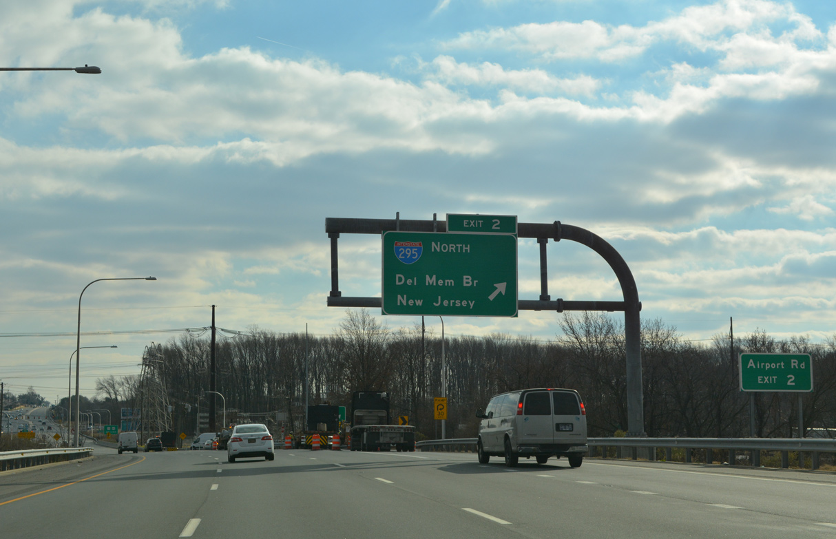
| A loop ramp (Exit 2) connects SR 141 south with a c/d roadway along Interstate 295 north. I-295 crosses the Delaware Memorial bridge north en route to Camden and Trenton, New Jersey. 12/19/22 |
|
| Part of the SR 141 Improvements project expanded Exit 2 with a ramp onto Airport Road (Rd 340) west and realigned Airport Road east to default onto SR 141 (Basin Road) southbound. 12/19/22 |
|
| Although unmarked, U.S. 202 combines with SR 141 south from I-95 south just ahead of the freeway end at SR 37 (Commons Boulevard). 12/19/22 |
|
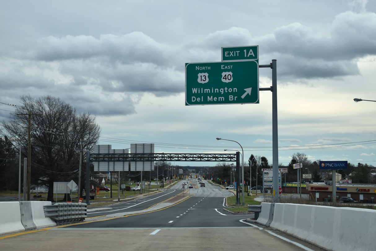
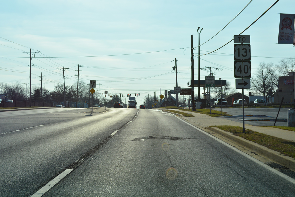
| The exchange (Exit 1) joining U.S. 202/SR 141 with U.S. 13/40 (Dupont Highway) lies one mile south of SR 37 (Commons Boulevard). 12/19/22 |
|
| Transitioning to Basin Road, SR 141 south crosses Nonesuch Creek three miles northwest of New Castle. 12/19/22 |
|
| SR 37 (Commons Boulevard) curves westward along a four lane parkway to Airport Road through Corporate Commons. The office park is home to an array of businesses and offices for New Castle County Government. 12/19/22 |
|
| Trailblazers for SR 141 and I-95 reference the U-turn connecting Airport Road (Road 340) east with Basin Road north at SR 37 (Commons Boulevard). 12/19/22 |
|
| SR 37 (Commons Boulevard) south overtakes Airport Road, 1.1 miles to the west of Basin Road. The state route runs 3.10 miles southwest to SR 273 (Hares Corner-Christiana Road) near Christiana. 12/19/22 |
|
| Trailblazers for U.S. 13/40 appear south of SR 37 as Basin Road runs alongside the Delaware Air National Guard complex at New Castle County Airport (ILG). 12/19/22 |
|
| Jay Drive spurs northeast from SR 141 to the Chelsea Estates subdivision. 12/30/16 |
|
| Reconstruction of Basin Road completed in 2005 added a traffic light with Washington Avenue and an area for trucks making U-turns from SR 141 north to access the southbound entrance ramp to Dupont Highway (U.S. 13/ 40). 01/01/19 |
|
| The end shield posted at U.S. 13/40 is the lone sign recognizing U.S. 202 along SR 141 southbound. Originating in Bangor, Maine, U.S. 202 previously ended in Wilmington. Extension of the route south to SR 141 was approved by AASHTO on December 7, 1984. 01/01/19 |
|
| Continuing the sequence of SR 141 south from Newport, ramps at the cloverleaf interchange with U.S. 13/40 are assigned Exits 1B/A. With eight overall lanes, Dupont Highway angles southwest from I-295 to State Road, where U.S. 40 turns west onto Pulaski Highway to Bear and Glasgow. U.S. 13 follows Dupont Highway nearly statewide as it connects Wilmington with Dover. 12/23/18 |
|
| A loop ramp joins the south end of U.S. 202 and SR 141 with U.S. 13/40 north through Wilmington Manor. U.S. 40 joins I-295 east at Farnhurst to cross the Delaware Memorial Bridge while U.S. 13 remains north along Dupont Highway to Minquadale and I-495. 01/01/19 |
|
| SR 141 south to SR 9/ 273 (Frenchtown Road) at New Castle was improved with new medians, curbing and sidewalks in 2003-04. 12/23/18 |
|
| Basin Road advances just south of Dupont Highway to Pencader Shopping Center and Crippen Drive east into the Penn Acres subdivision. 12/23/18 |
|
| University Avenue connects Basin Road with Castle Apartments and Wilmington Manor Gardens at the ensuing southbound signal. William Penn High School follows on the south side. 12/23/18 |
|
| Truck traffic headed to Delaware City along SR 9 is advised to use U.S. 13 south in lieu of the coastal route from New Castle. 12/23/18 |
|
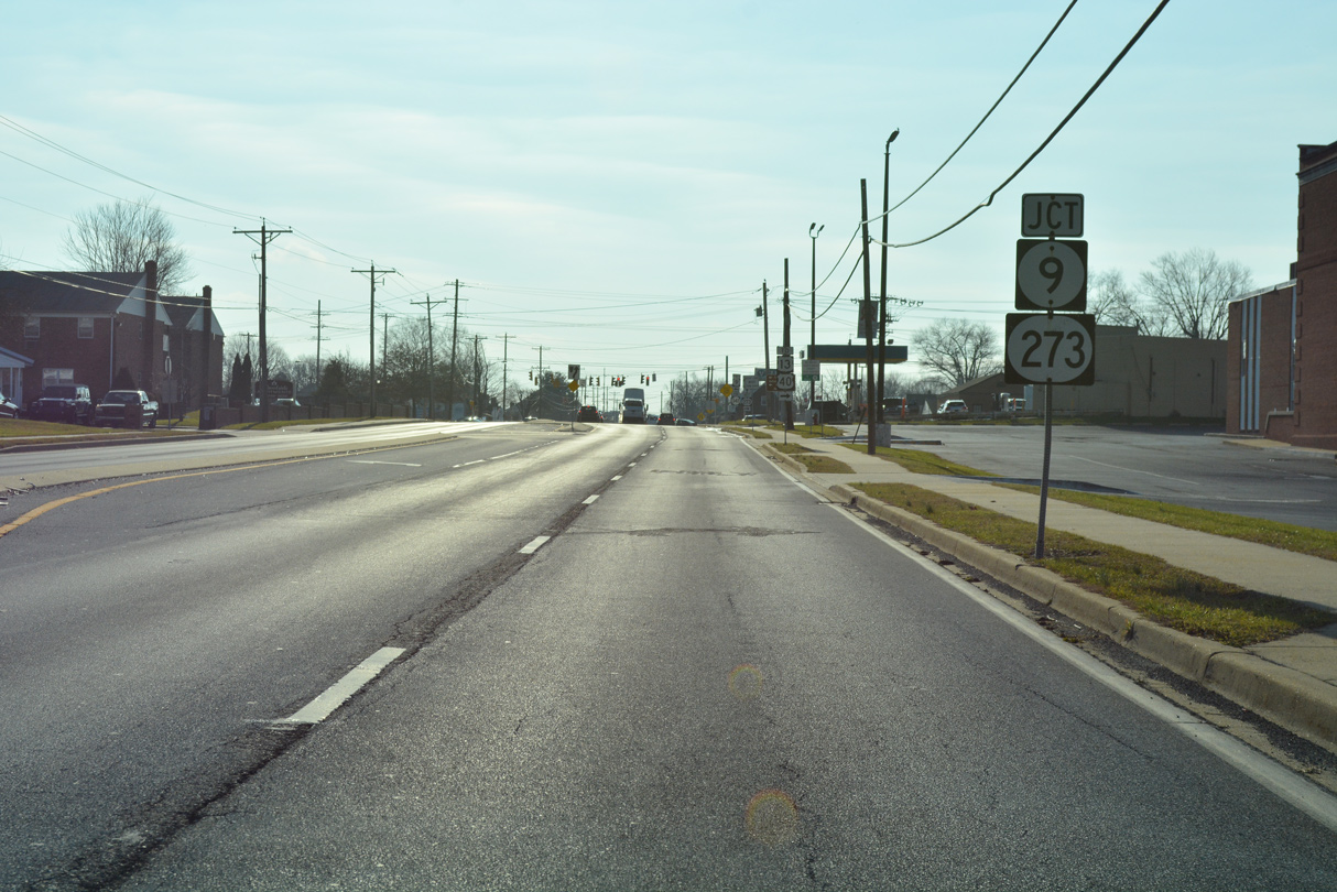
| SR 141 approaches SR 9 and SR 273 (Frenchtown Road) at the city of New Castle. 12/23/18 |
|
| Trailblazers for U.S. 13/40 reference SR 273 (Frenchtown Road) to Hares Corner. SR 273 leads west from New Castle to Christiana, Ogletown and Newark, becoming MD 273 en route to Rising Sun. 12/23/18 |
|
| SR 141 south ends as SR 9 turns from Washington Avenue to Delaware Street. The state route bypasses a portion of New Castle, including the historic district, overtaking former SR 273 east to Sixth Street. 12/23/18 |
06/05/12, 06/10/12, 12/20/16, 12/22/16, 12/30/16, 12/23/18, 01/01/19, 08/18/21, 12/19/22 by AARoads
Page Updated 11-02-2022.

 South
South