Beginning at scenic Dauphin Island, Alabama State Route 193 crosses the Mississippi Sound over the three mile long Gordon Persons Bridge. Originally a tolled drawbridge, hurricane damage led to the removal of that span and its replacement by 1982.
SR 193 continues onto Mon Louis Island from Mississippi Sound along a three mile causeway before reaching an area south of Alabama Port. Once at Alabama Port, SR 193 (Dauphin Island Parkway) meets SR 188, a coastal route west to Coden, Bayou La Batre and Grand Bay. Straddling western reaches of Mobile Bay, SR 193 advances north alongside numerous residences and marinas to cross the Fowl River at Mon Louis.
All of SR 193 south of the Theodore Ship Channel was originally a part of State Route 163. Closure of the previous span taking Dauphin Island Parkway across the waterway resulted in the westward relocation of the state route onto Range Line Road. The old roadway dead ends at an industrial area along the shipping channel.
SR 193 dog legs west along Laurendine Road from Dauphin Island Parkway at Bellefontaine to Range Line Road southeast of Theodore. Industrial sites line Range Line Road as it gains elevation on the approach to Interstate 10 and Tillman's Corner. SR 193 concludes at U.S. 90 opposite Nevius Road.
Dauphin Island extends 16 miles west from Mobile and Pelican Bays between Mississippi Sound and the Gulf of Mexico. The barrier island is home to the Civil War era Fort Gaines and Dauphin Island Sea Lab, both located at the east end. An array of oil rigs spread across the Gulf waters to the south of Daphin Island. The Mobile Bay Ferry links Bienville Boulevard (CR 2) with SR 180 at Fort Morgan in south Baldwin County.
|
| The first shield for SR 193 north appears along LeMoyne Avenue at the Gordon Persons Bridge. The two lane span opened in 1982. 09/12/10 |
|
| SR 193 initially travels from Chugae Point over Dauphin Island Bay before passing over northern reaches of Dauphin Island. The state route continues from there over Bayou Aloe to Pass aux Herons. 09/12/10 |
|
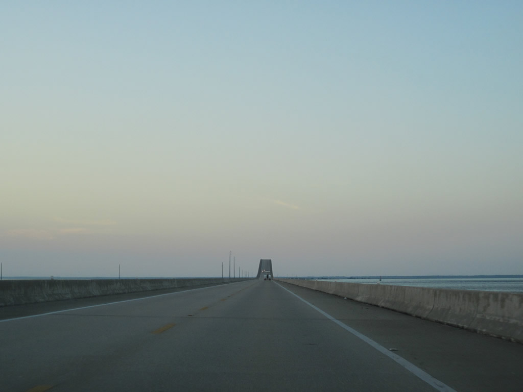
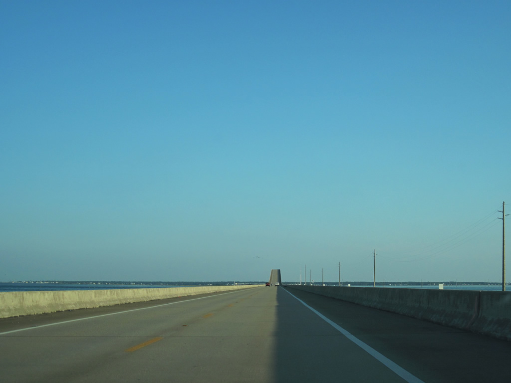
| Waters of Mississippi Sound spread into view as SR 193 lowers from the bridge hump over the Intracoastal Waterway (Grants Pass). 09/12/10 |
|
| The Gordon Persons Bridge returns to land at Cedar Point and travels a causeway north along the shore of Mobile Bay. 09/12/10 |
|
| Curving northward, SR 193 travels just above a marshy area to the east of Heron Bay to Mon Louis Island. The low elevation of Dauphin Island Parkway here is subject to flooding during strong winter and tropical storms. 09/12/10 |
|
| Heron Bay Cutoff connects the waters of Heron and Mobile Bay. A 1981-built bridge spans the inlet. 09/12/10 |
|
| Continuing north on Mon Louis Island toward the settlement of Alabama Port. 09/12/10 |
|
| SR 193 northbound reaches the eastern terminus of SR 188 at Alabama Port. Bayfront homes and docks, several of which are seasonal residences, generally represent the Alabama Port area. SR 188 west to CR 59 north and SR 193 represent the hurricane evacuation routes northward. 10/12/03 |
|
| SR 188 constitutes a 19.7 mile route west to Grand Bay and Interstate 10 at Exit 4. 09/12/10 |
|
| SR 193 (Dauphin Island Parkway) continues north on Mon Louis Island toward Faustinas. 09/12/10 |
|
| Crossing the East Fowl River along SR 193 north of Mon Louis. This waterway in conjunction with The Narrows and West Fowl River, separates Mon Louis Island from the rest of interior Mobile County. The bridge pictured here was replaced in 2007 by a wider span with full shoulders. 10/12/03 |
|
| CR 22 (Fowl River Road) heads 3.2 miles west from SR 193 toward the communities of South Orchard, Fowl River and CR 59 (Bellingrath Road). 09/12/10 |
|
| Fowl River Road was erroneous posted as CR 20 along SR 193 northbound previously. 10/12/03 |
|
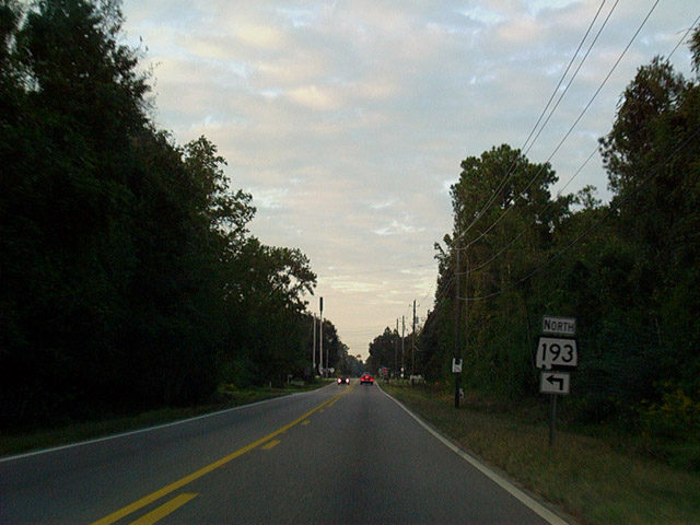
| SR 193 (Dauphin Island Parkway) leaves Smithport and Bayleys Corner, where it meets CR 20, for Bellefontaine. 09/12/10 |
|
| SR 193 turns west onto Laurendine Road, parting ways with Dauphin Island Parkway (old SR 163). The drawbridge over the Theodore Navigational Ship Channel was removed some time ago, severing SR 163 between here and Hollingers Island. 10/12/03 |
|
| SR 193 dog legs west along Laurendine Road to Rangeline Road north. Laurendine extends west from SR 193 as Mobile County Road 24 to Half Mile Road. 10/12/03 |
|
| Crossing the Theodore Navigational Ship Channel along SR 193 (Rangeline Road) northbound. Several industrial complexes line the banks of the waterway (Middle Fork Deer River). This two lane bridge opened in 1976 with provisions made along the right of way for an eventual second span. 10/12/03 |
|
| SR 193 (Rangeline Road) quickly expands into a four lane divided highway north of the ship channel bridge. 10/12/03 |
|
| SR 163 runs east to Hollingers Island, where it joins Dauphin Island Parkway north to Mobile. 10/12/03 |
|
| SR 193 (Rangeline Road) meets Mobile County Road 26 west and SR 163 north at Hamilton Boulevard. 10/12/03 |
|
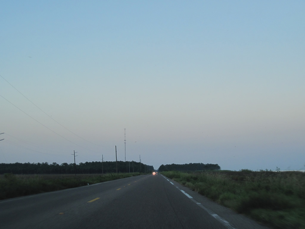
| CR 26 runs along Hamilton Boulevard west to U.S. 90 and CR 30 (Theodore Dawes Road) at Theodore. SR 193 expands with a frontage road system north from SR 163 to Rabbit Creek Drive. 10/12/03 |
|
| A cloverleaf interchange joins SR 193 (Rangeline Road) with Interstate 10 at Tillman's Corner. The eastbound entrance ramp for I-10 includes ramps from both SR 193 and the adjacent frontage road. 10/31/03 |
|
| A loop ramp drops from SR 193 (Rangeline Road) northbound onto a collector distributor roadway along I-10 west. Interstate 10 heads southwest two miles to U.S. 90 and four miles to Theodore. 10/31/03 |
|
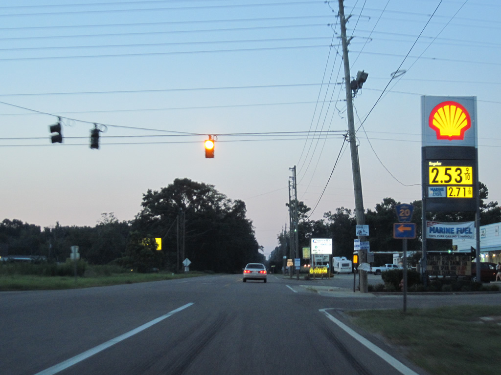
| SR 193 expands to three northbound lanes from Interstate 10 to U.S. 90. Traffic lights follow at for the south service road to a Wal-Mart and at Halls Mill Road (CR 28). 01/26/11 |
|
| Halls Mill Road provides a local through road from Tillman's Corner northeast toward central Mobile. The alignment represents the original route of U.S. 90 before Government Boulevard was constructed. 01/26/11 |
|
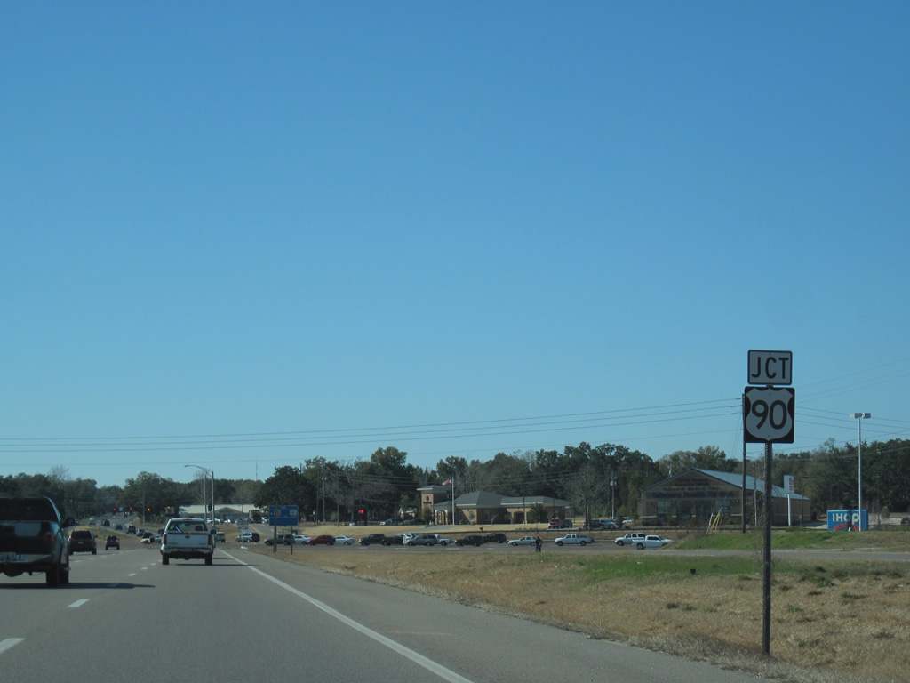
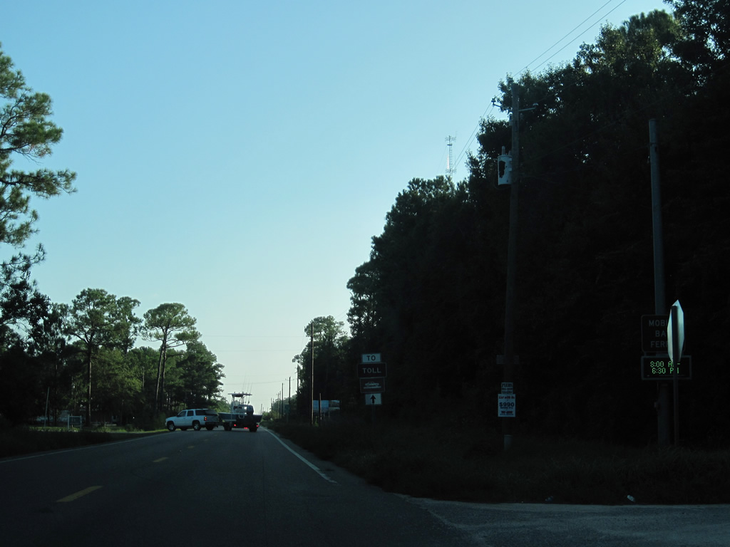
| SR 193 (Rangeline Road) next meets U.S. 90 and Nevius Road. U.S. 90 travels generally north-south from Theodore to Government Street east of Midtown Mobile. Nevius Road stems west from Rangeline Road to area subdivisions, and a December 2010 opened extension to Hillcrest Road. 01/26/11 |
|
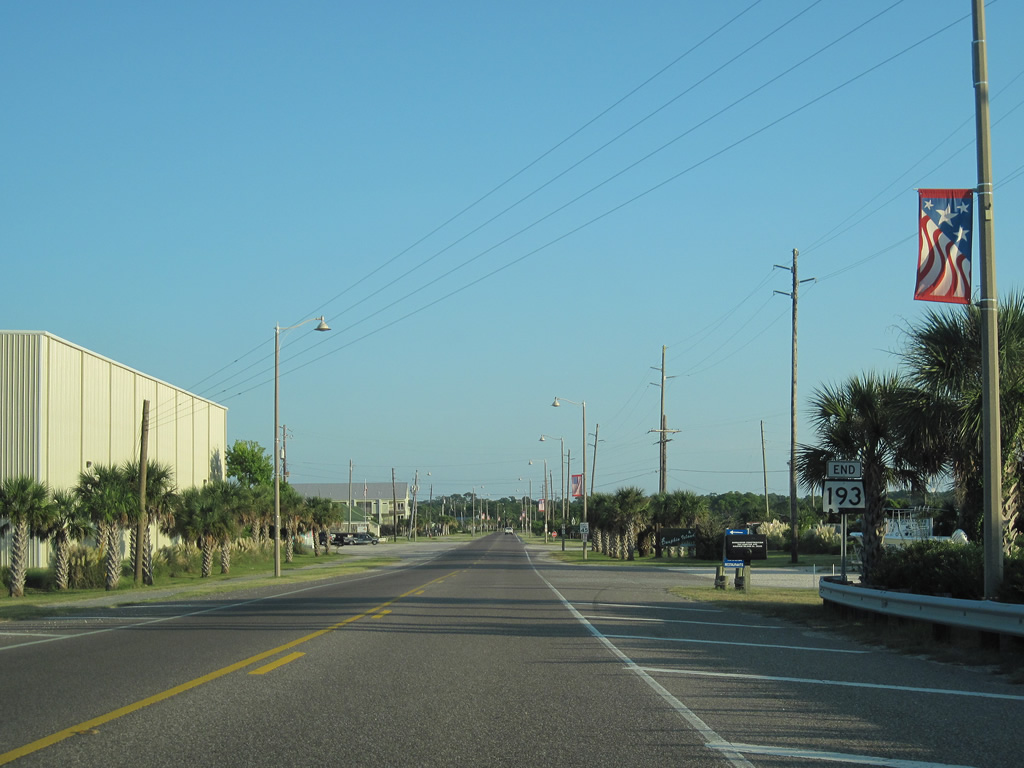
| The conclusion of SR 193 northbound at U.S. 90. U.S. 90 comprises a slow moving commercial arterial southward through numerous signalized intersections to Interstate 10. Northward, the divided highway spans Halls Mill Creek en route to Cottage Hill. 01/26/11 |
|
| SR 193 southbound at Halls Mill Road (CR 28). Halls Mill Road parallels U.S. 90 and I-10 between Mid-town Mobile and Tillman's Corner. The highway continued west of U.S. 90 as Old Pascagoula Road but the continuity between the two roads was severed due to development. 10/31/03 |
|
| The Rangeline Service Road ties into SR 193 adjacent to a Wal-mart and before the cloverleaf interchange with Interstate 10. 10/31/03 |
|
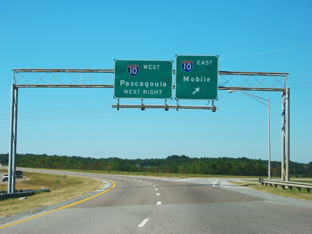
| SR 193 (Rangeline Road) south at Interstate 10 west to Biloxi and Gulfport, Mississippi. 10/31/03 |
|
| A loop ramp follows onto a c/d roadway along I-10 east ahead of the exchange with Interstate 65. This is the last entrance ramp for I-10 east with Mobile as the control city. Though annexations in 2008 expanded the Mobile city limits southward to I-10 at U.S. 90. 10/31/03 |
|
| Leaving Alabama Port and the eastern terminus of SR 188 on SR 193 (Dauphin Island Parkway) south. 09/12/10 |
|
| A toll ferry trailblazer accompanies a dynamic message sign along SR 193 south for motorists headed to the Mobile Bay Ferry at the east end of Dauphin Island. 09/12/10 |
|
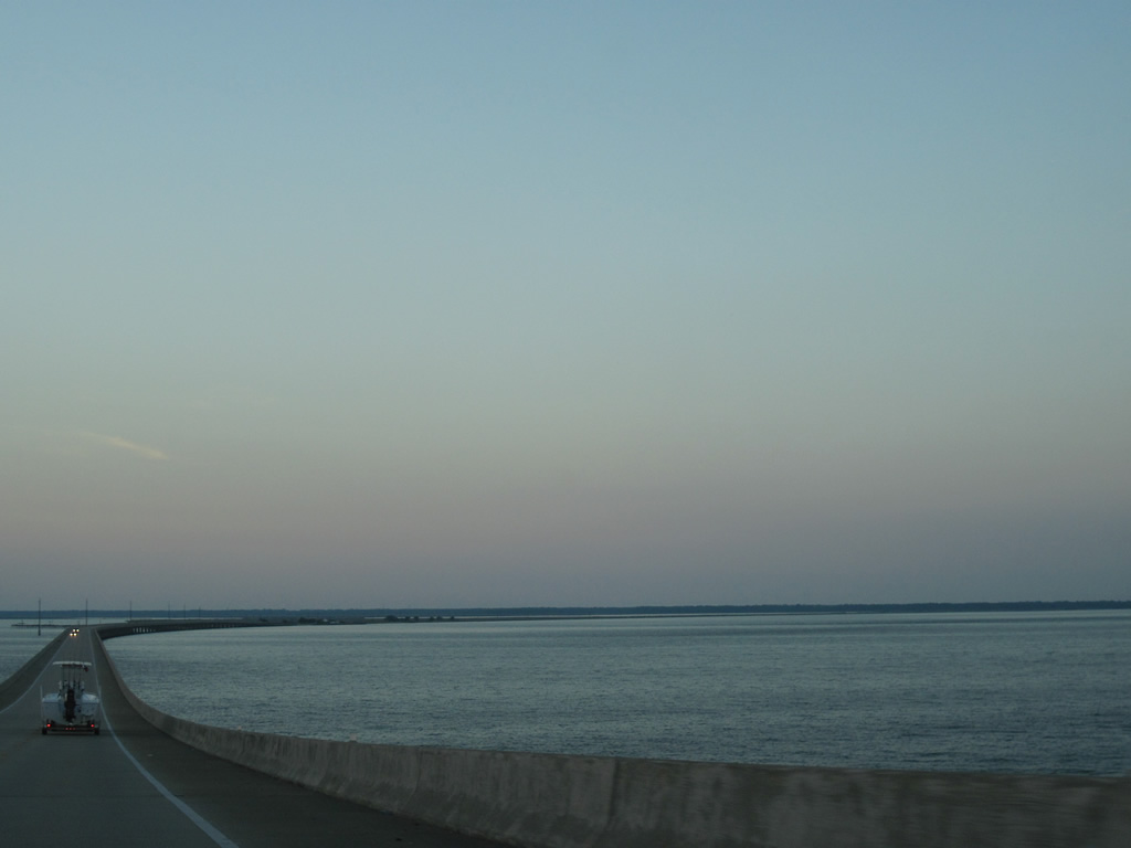
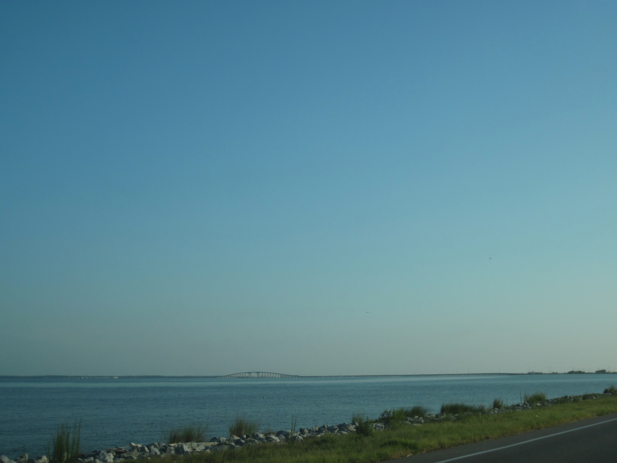
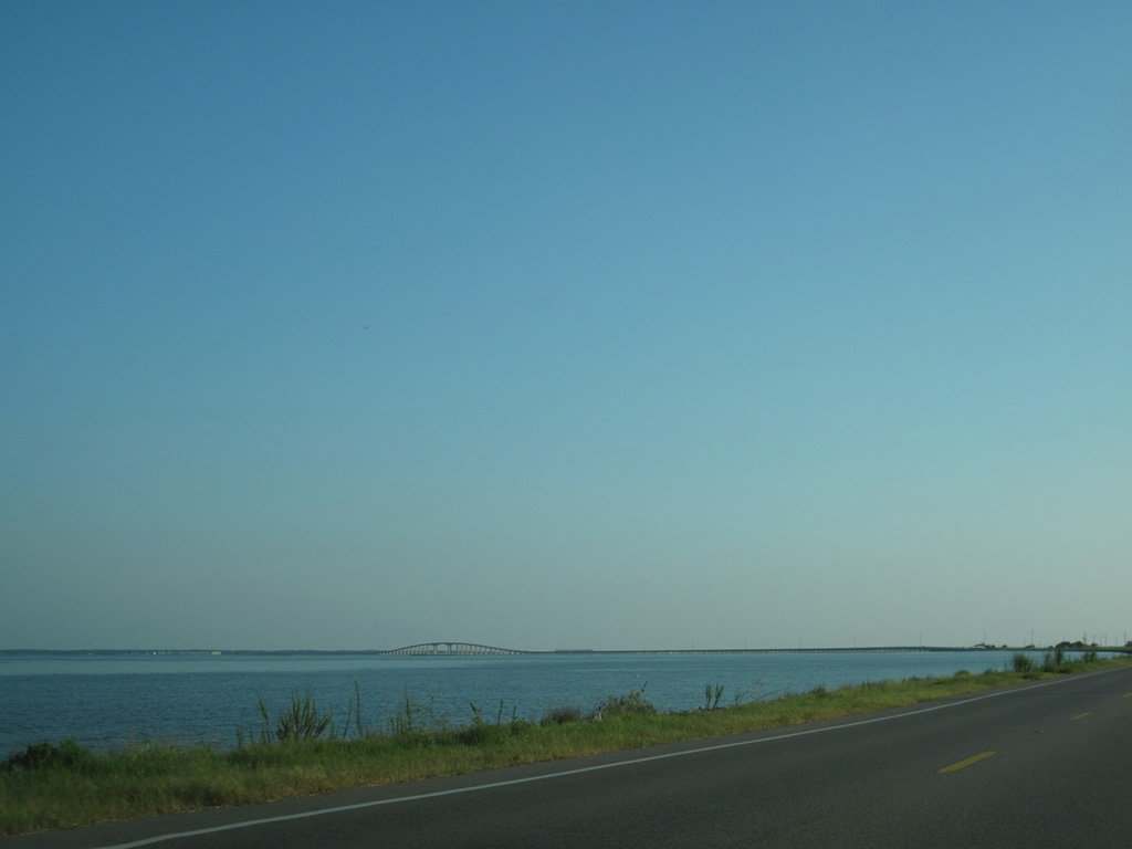
| Dauphin Island Parkway stretches southward along the western shore of Mobile Bay from Heron Bay Cutoff to Cedar Point. Appearing along the southern horizon is the Gordon Persons Bridge spanning Mississippi Sound to Dauphin Island. 09/12/10 |
|
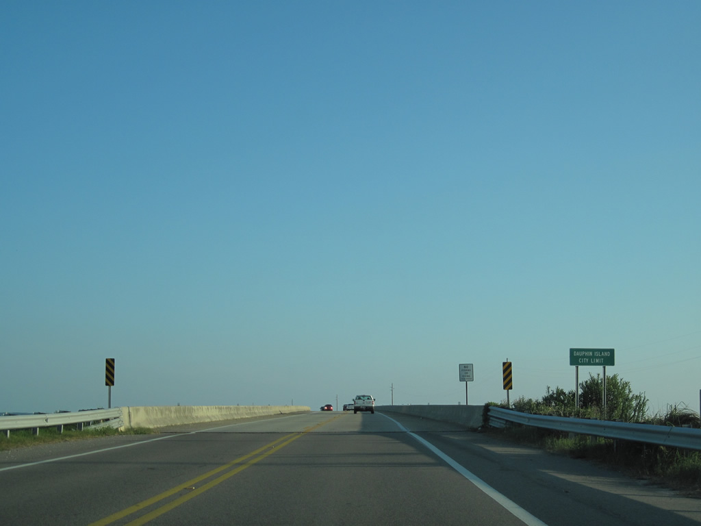
| The city limits of Dauphin Island extend northward to encompass all of the Gordon Persons Bridge. The concrete span opened to traffic in 1984, replacing a bridge previously tolled. 09/12/10 |
|
| Curving southward over Mississippi Sound, SR 193 approaches the Intracoastal Waterway hump on the Gordon Persons Bridge at Grants Pass and Pass aux Herons. 09/12/10 |
|
| The Gordon Persons Bridge advances south tos North Point on Dauphin Island. South of the lowland marsh area is Dauphin Island Bay while Bayou Aloe spreads toward the west. 09/12/10 |
|
| SR 193 spans a section of Dauphin Island Bay before reaching land again at Chugae Point. Several marinas line Le Moyne Drive south of the bridge. 09/12/10 |
|
| An end shield for SR 193 appears just south of the Gordon Persons Bridge near El Dorado Avenue. 09/12/10 |
|
| The end shield for SR 193 was previously posted further south at Desoto Avenue. 08/09/02 |
|
| LeMoyne Avenue widens into a four lane, divided parkway at Desoto Avenue and continues three blocks to Bienville Boulevard (CR 2). Bienville Boulevard stretches west to Dauphin Island Town Hall and built up areas toward the end of Dauphin Island and east to the Mobile Bay Ferry, Fort Gaines and Pelican Point. 09/12/10 |
|
| Original button copy signage previousy posted on Nevius Road east at U.S. 90 and SR 193 (Rangeline Road). Nevius Road at the time was just a local road serving a handful of subdivisions. Rangeline Road was built in 1979 and the signage dated from that construction. 06/21/02 |
Photo Credits:- 06/21/02 by AARoads.
- 08/09/02 by AARoads.
- 10/12/03 by AARoads and Carter Buchanan.
- 10/31/03 by AARoads.
- 09/12/10 by AARoads.
- 01/26/11 by AARoads.
Connect with:
Interstate 10
U.S. 90
State Route 163 - Dauphin Island Parkway
State Route 188
Page Updated 02-11-2011.


 North
North