Virginia Route 230 forms a 20.58 mile long loop northeast from U.S. 33 Business in Stanardville to Wolftown in Madison County and southeast to Aroda, Radiant and U.S. 15 at Madison Mills. SR 230 also overlaps with U.S. 29 for 0.52 miles to the west of Pratts.
|
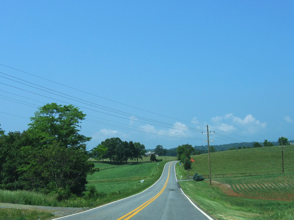
| SR 230 continues 10.87 miles west from U.S. 29 (Seminole Trail) to Wolftown and Stanardsville. SR 663 (Willis Road) meanders southwest from the forthcoming intersection to SR 662 (Shelby Road). A right turn lane was subsequently added at SR 663. 06/05/05 |
|
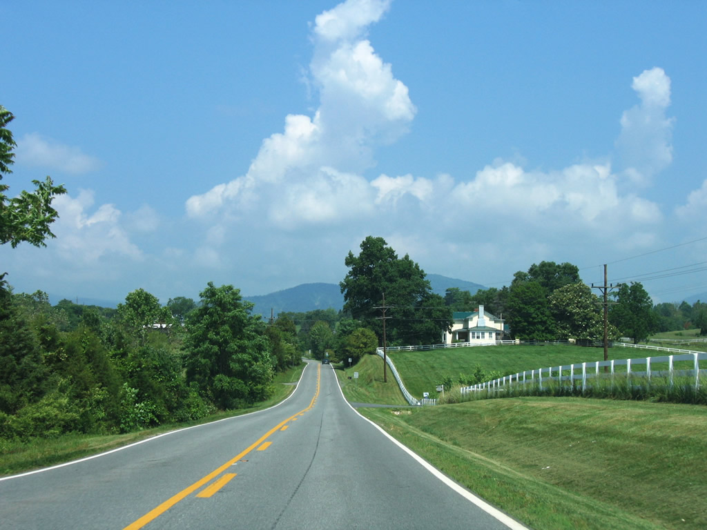
| Pastures and farm fields line both sides of SR 230 leading west toward Wolftown. 06/05/05 |
|
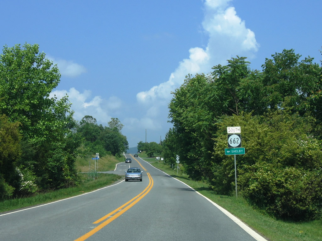
| SR 662 (Shelby Road) travels northwest from U.S. 29 (Seminole Trail) at Shelby to reach SR 230. The two share an implied overlap at Wolftown. 06/05/05 |
|
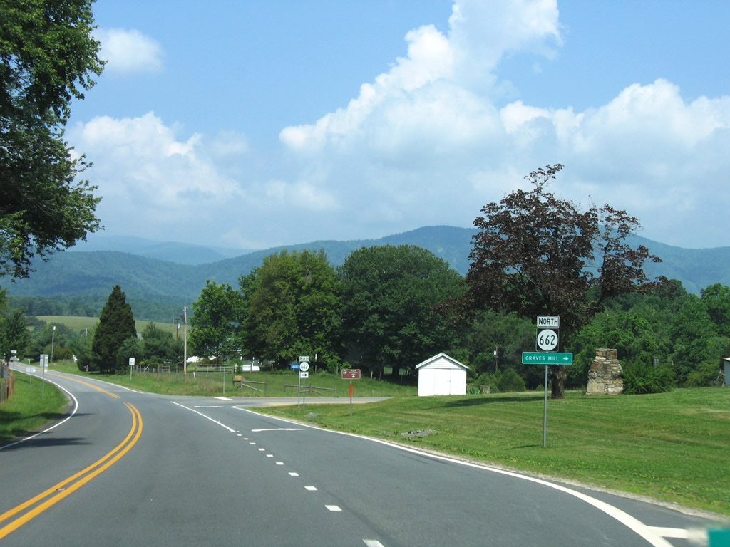
| Continuing north, SR 662 bends northward around Mitchell Bluff to parallel the Rapidan River en route to Graves Mill. German Ridge lies to the northeast of the state route, while Carter Ridge rises to the south. 06/05/05 |
|
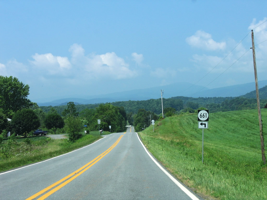
| SR 661 (Trinity Lane) spurs south from SR 230 to Banks Mountain. 06/05/05 |
|
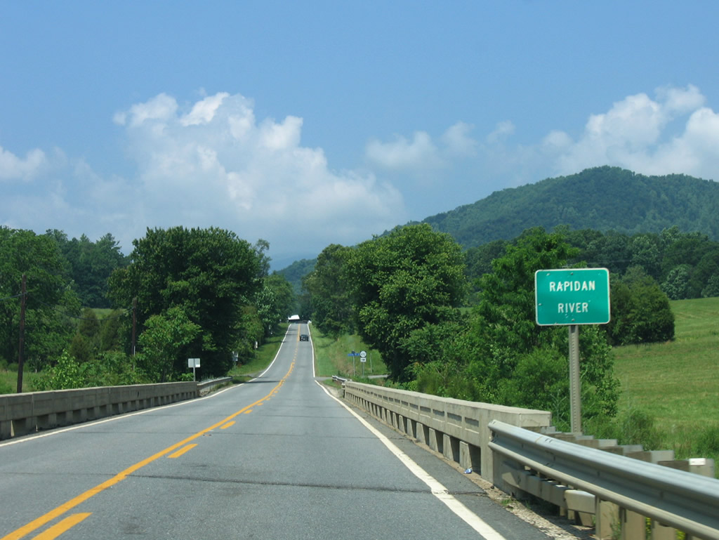
| SR 230 (Wolftown-Hood Road) next spans the Rapidan River along a concrete bridge built in 1940. SR 692 (Riverview Lane) stems northward nearby. 06/05/05 |
|
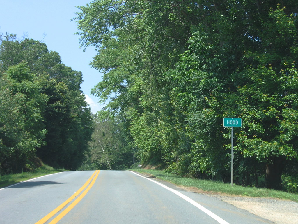
| SR 230 (Wolftown-Hood Road) advances west to the settlement of Hood. SR 230 turns southward from here toward Conway River and Greene County line. 06/05/05 |
|
| SR 230 meets SR 619 (Dundee Road) at Brills Shop one mile south of the Conway River. Dundee Road meanders 4.30 miles southeast to SR 609 (Fredericksburg Road) while SR 230 continues southwest near Goodall Mountain. Little Ledge Mountain rises to the southwest of SR 619. 06/05/05 |
|
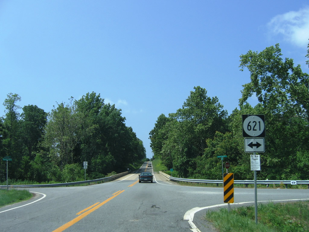
| SR 621 (South River Road) parallels the South River north 3.50 miles to McMullen. SR 230 (Madison Road) crosses the river on a bridge built in 1941 and reconstructed in 1997. 06/05/05 |
|
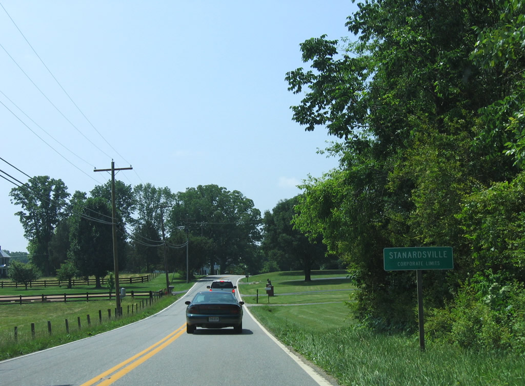
| Entering the town of Stanardsville along SR 230 (Madison Road) west. 06/05/05 |
|
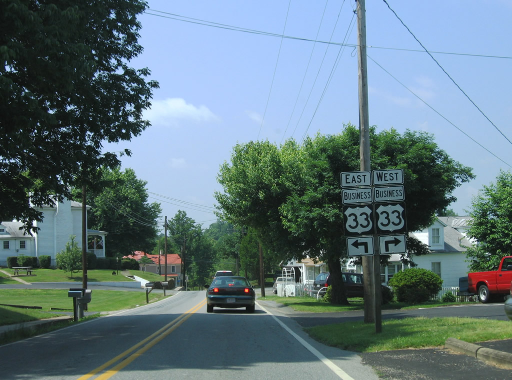
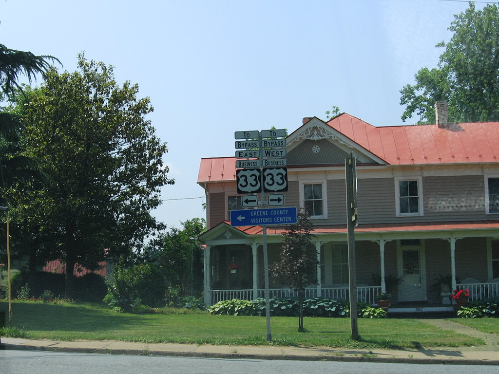
| SR 230 concludes a 20.58 mile course at U.S. 33 Business (Spotswood Trail) east of Downtown Stanardsville. 06/05/05 |
|
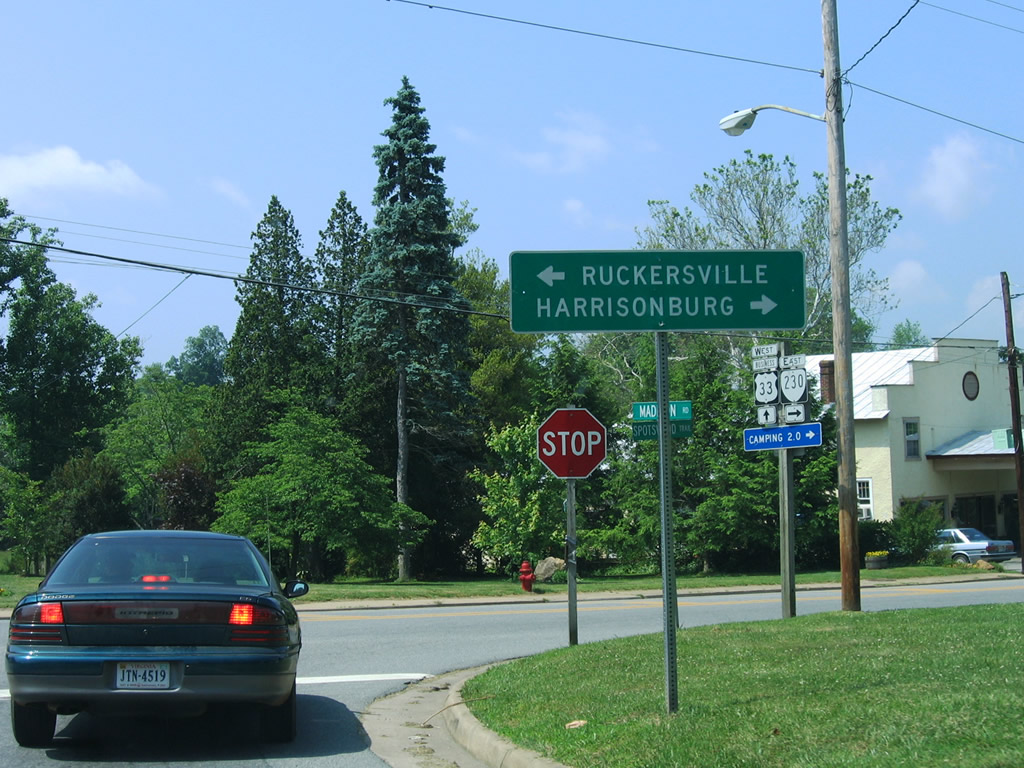
| U.S. 33 was relocated from Spotswood Trail through Standardsville onto a four lane bypass by 2000. U.S. 33 Business comprises a 2.52 mile loop between U.S. 33 east toward Ruckersville and west to Harrisonburg. 06/05/05 |
|
| U.S. 33 gains elevation west from U.S. 33 Business (Main Street) in Stanardsville into Shenandoah National Park. The route meets Skyline Drive at Swift Run Gap by the Rockingham County line. 06/05/05 |
|
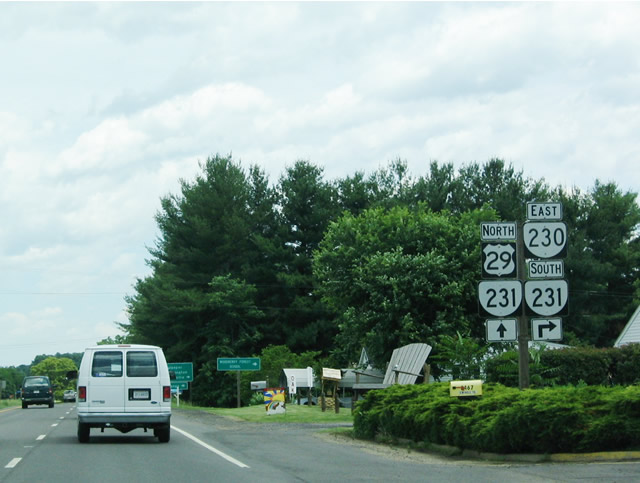
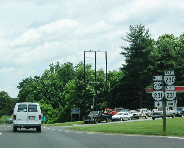
| U.S. 29/SR 230 combine for 0.52 miles north along Seminole Trail to the west of Pratts. 06/02/04 |
|
| SR 230 overlaps with SR 231 south from U.S. 29 along Orange Road 0.63 miles east to SR 687 (Fariground Road) at Pratts. 06/02/04 |
|
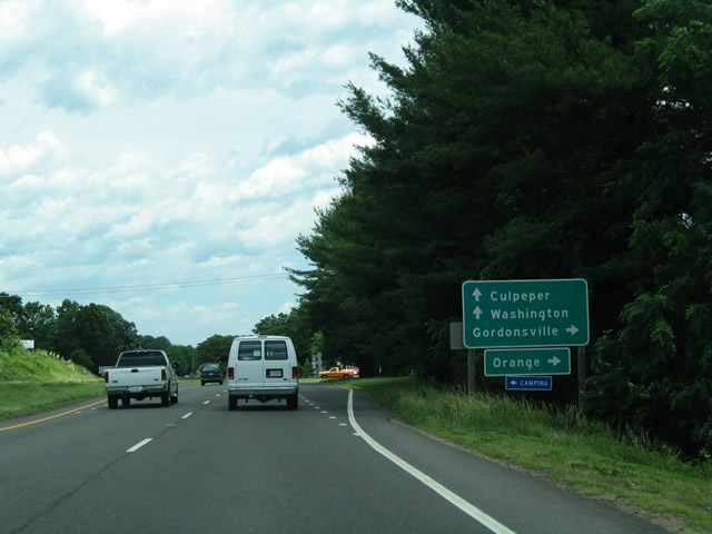
| SR 230 (Orange Road) extends 9.19 miles east from U.S. 29 to U.S. 15 northwest of Orange. SR 231 branches 16.03 miles south from Pratts to U.S. 33 at Gordonsville. 06/02/04 |
|
| SR 231 joins U.S. 29 (Seminole Trail) north 1.34 miles to S Main Street in the town of Madison. SR 230 continues east from SR 231 at Pratts to Aroda and Radiant. 06/02/04 |
Page Updated 02-21-2021.


 North
North