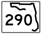
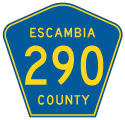
Decommissioned in a mileage swap with Escambia County, State Road 290 was the designation for all of Olive Road between Palafox Street and Scenic Highway. The suburban highway carries two lanes overall, with the exception of a short four-lane stretch through the intersection with Davis Highway (SR 291). County Road 290 signs were added on intersecting state roads by Summer 2012, but the route is otherwise unmarked along Olive Road.
|
| The first eastbound shield for SR 290 was posted just beyond County Road 95A (Palafox Street). An at-grade crossing of the CSX Railroad follows.
This shield was missing for several years prior to the June 30, 2011 decommissioning of the state road. 05/07/04 |
|
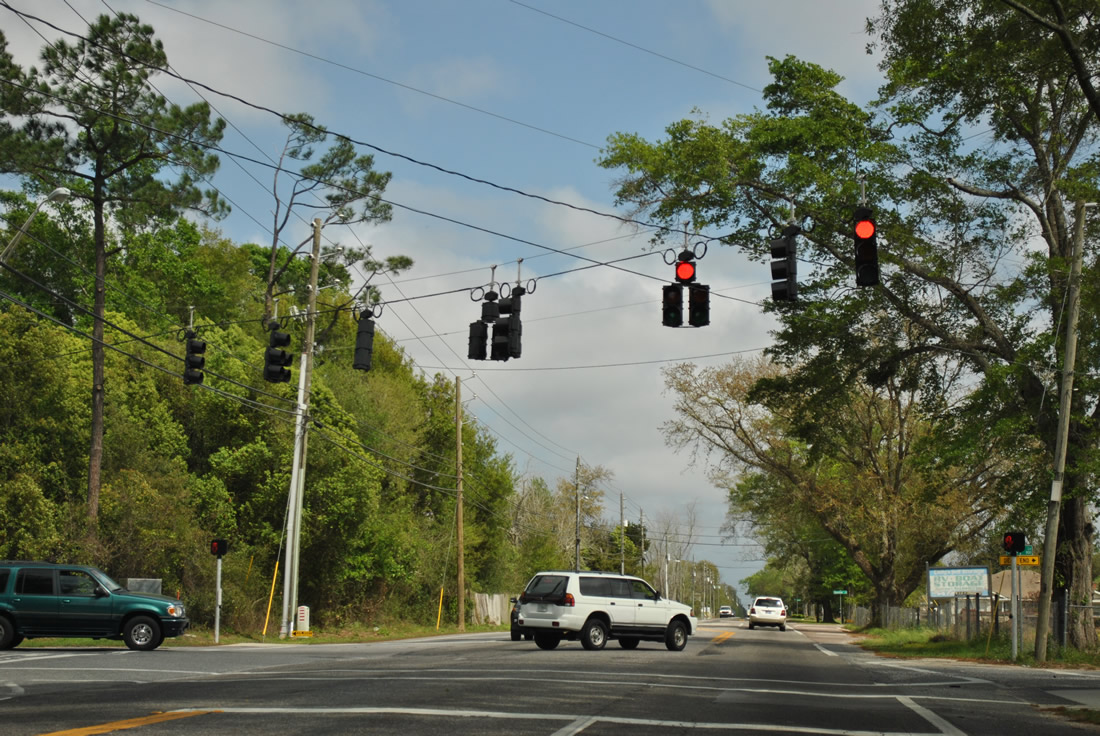
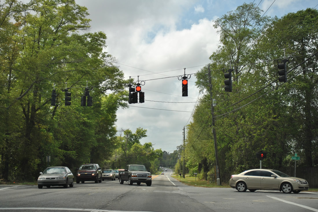
| A traffic light was installed at Cody Lane by 2010. Cody Lane serves three subdivisions as it connects Olive Road with Johnson Avenue and Jernigan Road to the north. County funds were used for the installation of the signal. 03/20/12 |
|
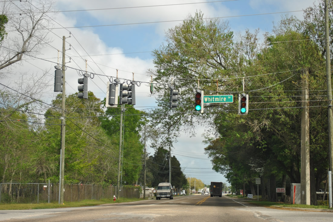
| Whitmire Drive also connects Olive Road with parallel Johnson Avenue to the north. Whitmire Drive continues south from the signal with CR 290 to Atwood Drive. 03/20/12 |
|
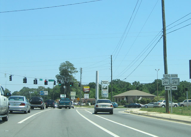
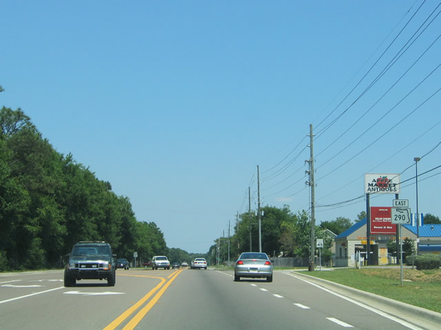
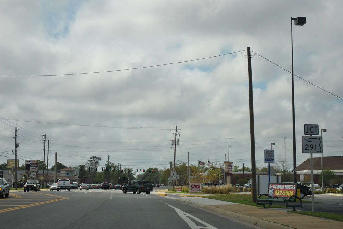
| County Road 290 (Olive Road) meets Davis Highway (SR 291) 2.4 miles east of CR 95A. These shields were removed by 2012. 05/07/04 |
|
| Rebuilt as part of the Interstate 10/110 construction during 2002-08, Davis Highway accommodates six lanes of traffic southward from University Parkway and Olive Road to a parclo interchange with Interstate 10. The state road joins the University of West Florida (UWF) area with Pensacola to the south. 03/20/12 |
|
| County Road 290 advances east from the busy intersection with SR 291 (Davis Highway). The second to last reassurance marker for SR 290 stood on this stretch. 12/21/03 |
|
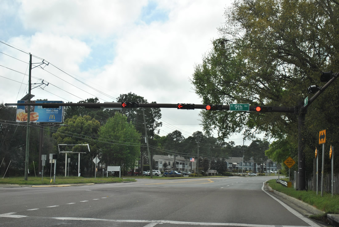
| Olive Road continues 2.1 miles east through the Ferry Pass area to SR 289 (Ninth Avenue). Ninth Avenue constitutes a north-south arterial through northeast and eastern reaches of the Pensacola city limits. The state road also provides a route to Pensacola International Airport (PNS). 05/27/13 |
|
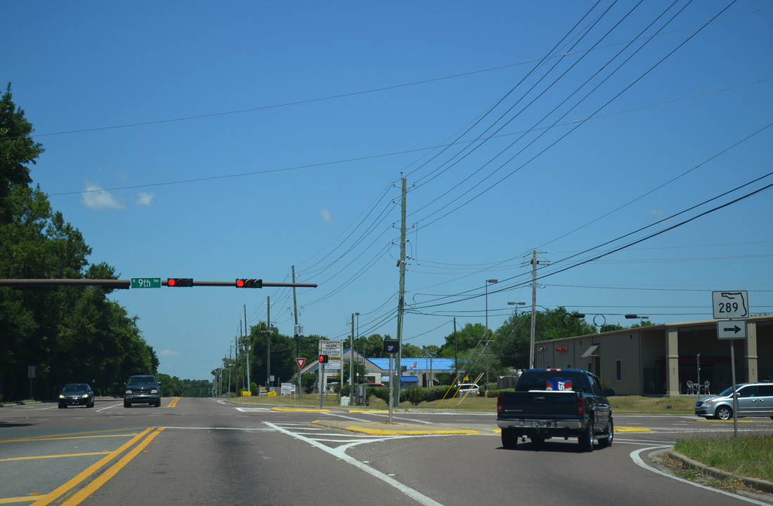
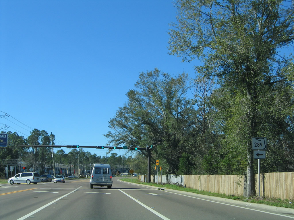
| The northern terminus of SR 289 remains at Olive Road. This intersection represents the north end of the main portion of Ninth Avenue; a second portion of 9th Avenue spurs north from Johnson Avenue. SR 289 leads 7.28 miles south to U.S. 98 at Chase and Gregory Streets by the Pensacola Bayfront. 05/27/13 |
|
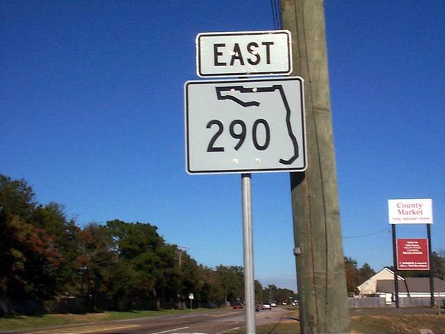
| The last eastbound SR 290 shield was posted along Olive Road beyond the intersection with Ninth Avenue. The junction of SR 289 and 290 was reconstructed and expanded in 2001. Olive Road was widened again to include narrow shoulders in 2009. 05/07/04 |
|
| The SR 290 shield east of SR 289 replaced a two-digit width shield when it was installed in 1999. It was removed several years before the 2011 decommissioning of the state road. 12/27/99 |
|
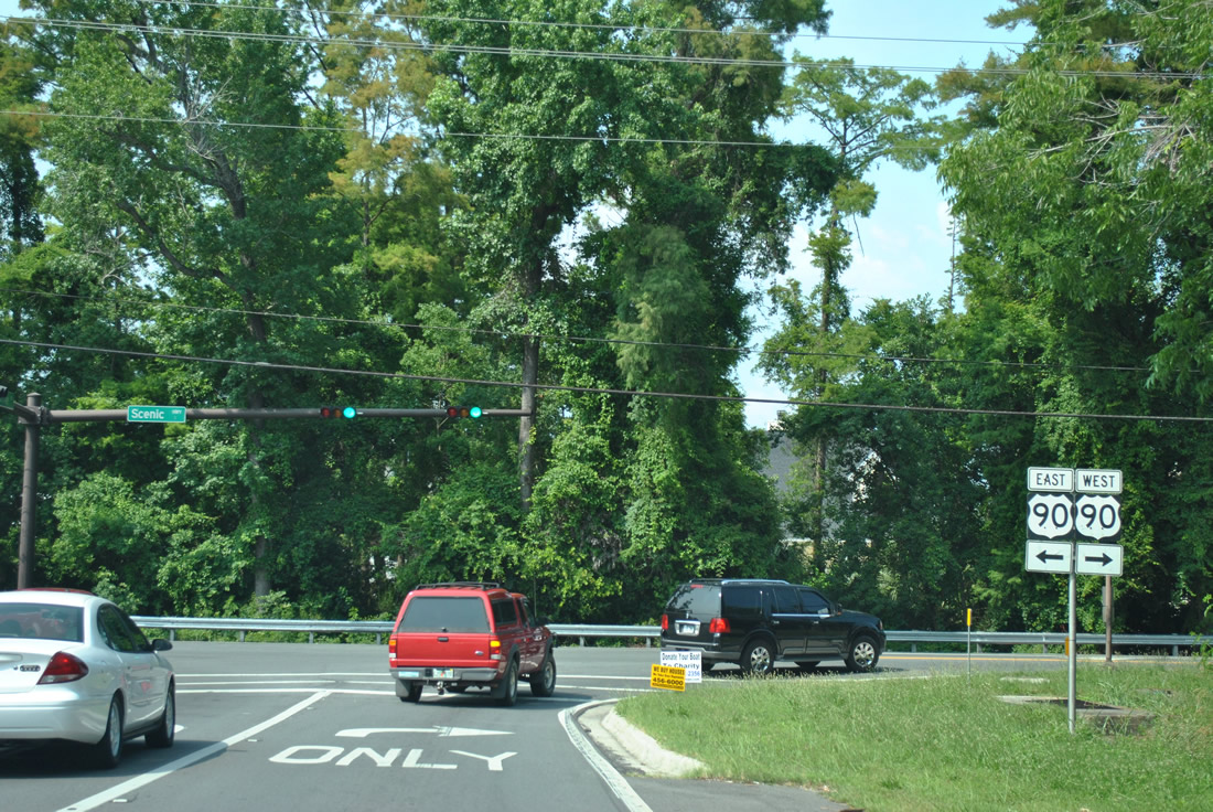
| U.S. 90 shield posted along the final stretch of Olive Road eastbound. Similar to the eastern terminus of SR 742, County Road 290 descends abruptly to the Escambia Bayfront and Scenic Highway. 05/25/12 |
|
| CR 290 and Olive Road end at U.S. 90 (Scenic Highway). U.S. 90 carries two lanes northward to Nine Mile Road (U.S. 90 Alternate) and the Santa Rosa County communities of Pace and Milton. Southward the US route meets Interstate 10 (Exit 17) in three miles. 05/25/12 |
|
| Olive Road begins and rises from U.S. 90 (Scenic Highway) and Macky Bay between a number of residential areas ahead of Ferry Pass. The first shield was posted along this stretch, but removed sometime after 2006. 02/10/06 |
|
| Olive Road westbound approaches SR 289 (Ninth Avenue). A 2001 project improved this intersection with the addition of a second turn lane for SR 289 south. This work accompanied widening of Ninth Avenue from two to four lanes from SR 290 south to the Interstate 10 under crossing. 03/20/12 |
|
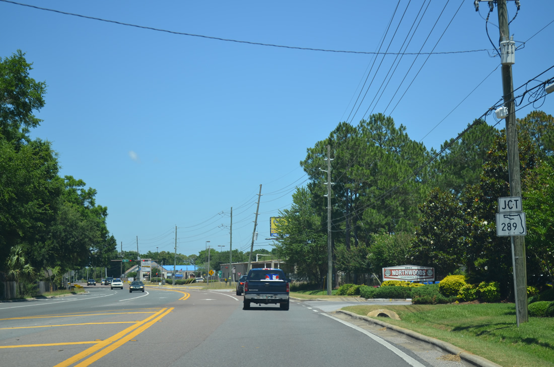
| SR 289 travels 7.28 miles southwest from Olive Road to Pensacola State College, Cordova Mall and the city of Pensacola. The state road ends at U.S. 98 and U.S. 98 Business by the Pensacola Bay Center. The shield for SR 289 south along Olive Road west was removed by 2011. 01/31/06 |
|
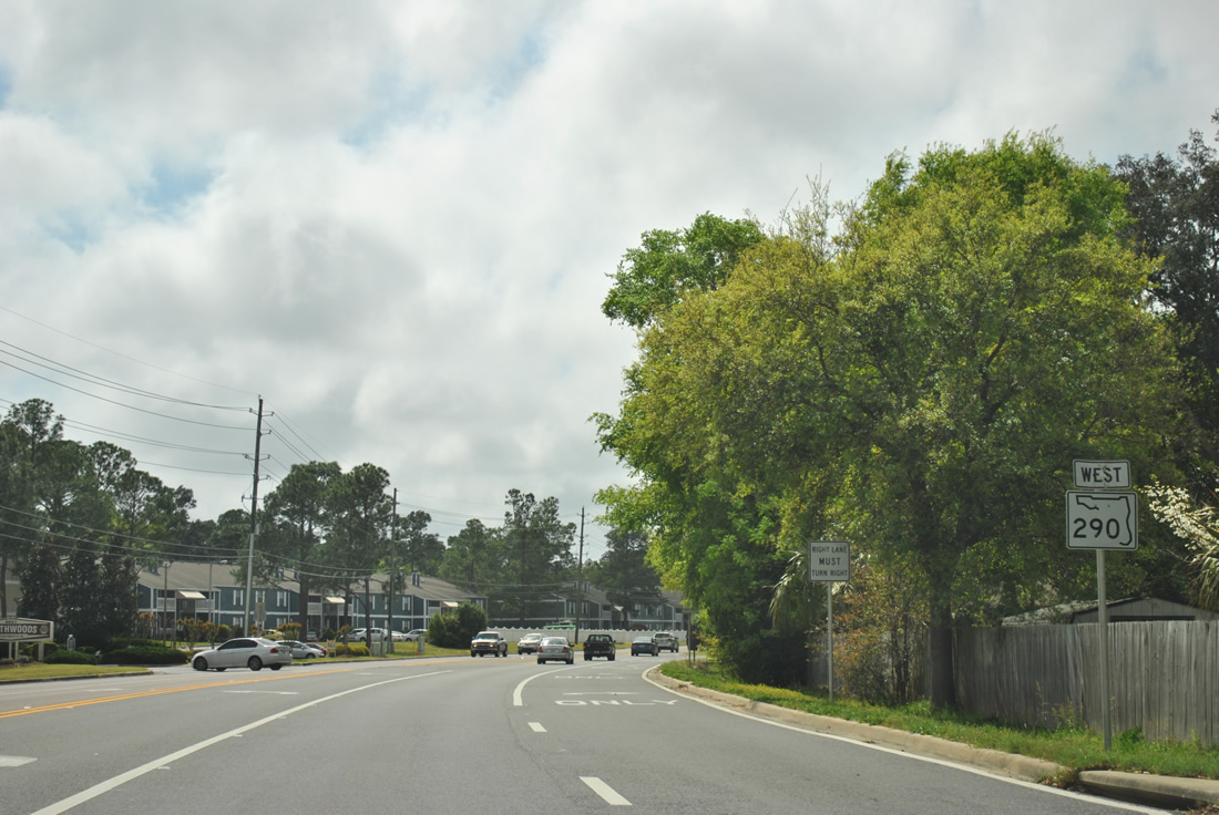
| A lane drop beyond Ninth Avenue at Strasburg Road north requires motorists continuing west along Olive Road to shift to the left. This traffic pattern was the result of the 2011 improvement project. 03/20/12 |
|
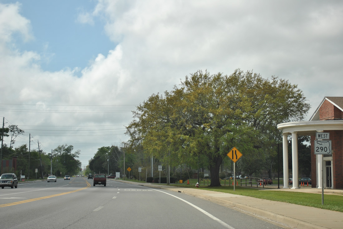
| Further widening of then-SR 290 added a turn lane to the Northwoods Apartments from Olive Road west of SR 289. Olive Road overall was expanded to include partial shoulders from U.S. 90 to SR 291 in 2009. 03/20/12 |
|
| Entering the intersection with Davis Highway (SR 291) on Olive Road west. Davis Highway constitutes a busy commercial arterial southward to SR 295 (Fairfield Drive). 03/20/12 |
|
| Davis Highway carries six lanes of traffic southward from University Parkway to a point just south of Burgess Road (former SR 742). With the heavily used parclo interchange with Interstate 10 just one third of a mile away, this stretch of SR 291 was expanded as part of the I-10/110 expansion project from 2002 to 2008. 03/20/12 |
|
| What was the final westbound reassurance marker for SR 290 stood along Olive Road between SR 291 and the Ensley area. 03/20/12 |
|
| The first of two traffic lights along Olive Road between SR 291 and Palafox Street operate at the intersection with Whitmire Drive. Whitmire Drive leads north from Atwood Drive to Johnson Avenue. 03/20/12 |
|
| The signal at Cody Lane was added in 2010 by Escambia County in part of the transition of State Road 290 to local maintenance. Cody Lane connects Olive Road with parallel Johnson Avenue and Jernigan Road north nearby. 03/20/12 |
|
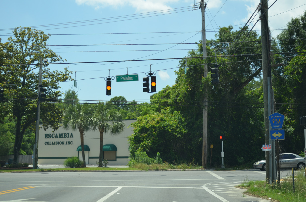
| State Road 290 ended at County Road 95A (Palafox Street), just north of its crossing over Interstate 10. CR 95A parallels U.S. 29 to the east from Brent north to Cantonment as the former alignment of the US highway. 05/17/14 |
12/27/99, 12/21/03, 05/07/04, 01/31/06, 02/10/06, 03/20/12, 05/25/12, 05/27/13, 05/17/14 by AARoads
Page Updated 11-18-2014.