
Looking north from the Four Meter telescope at SR 386 along the road up Kitt Peak. 07/04/08
Arizona State Route 386 travels from SR 86 up the side of Kitt Peak to Kitt Peak National Observatory. The road was added to the State Highway system in 1967, and completed that same year to allow construction of the 4 meter telescope. The roadway is similar to CR S-7 in San Diego County, California.
The original road to Kitt Peak was unpaved. It was used by the observatory from 1958 to 1967.

Arizona Route 386 followed a dirt road up Kitt Peak before shifting to the more gradual ascent of a paved route in 1967.
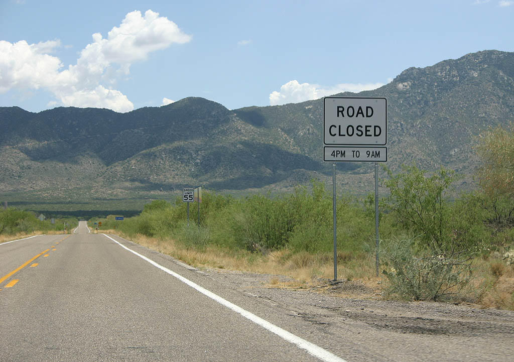 | SR 386 is closed from 4 PM to 9 AM nightly. This sign warns of the closure, and the observatory is very prompt about these hours. 07/04/08 |
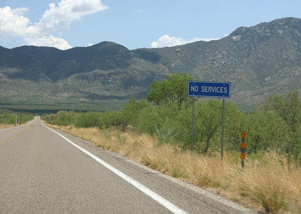 | No services are available along SR 386. 07/04/08 |
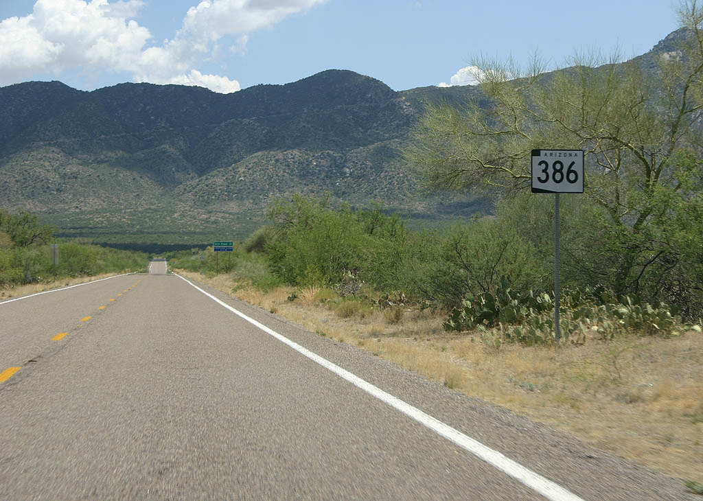 | This is the only reassurance marker for Arizona 386. 07/04/08 |
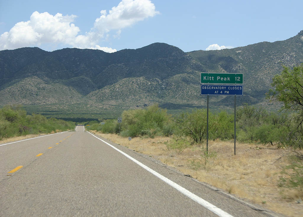 | Distance sign to Kitt Peak National Observatory, located at the end of the road. 07/04/08 |
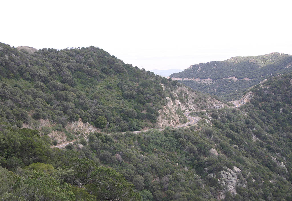
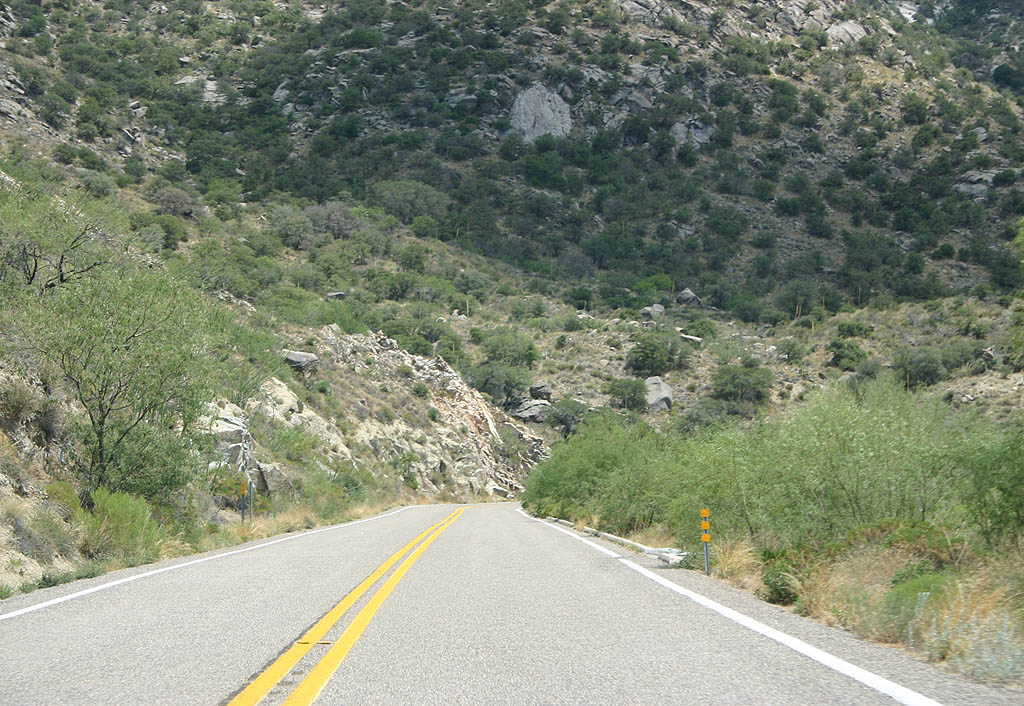
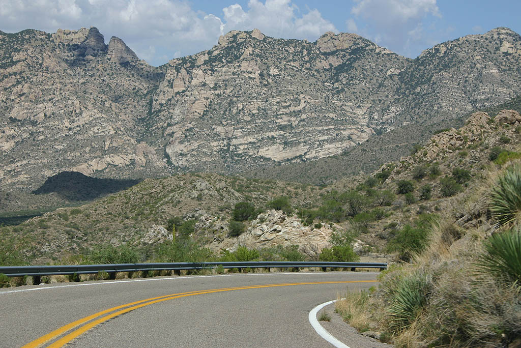
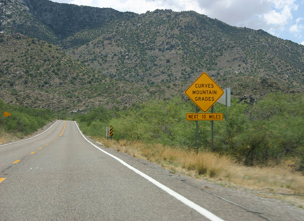 | Curves and Mountain Grades are found all along SR 386 as it climbs to the top of Kitt Peak. 07/04/08 |
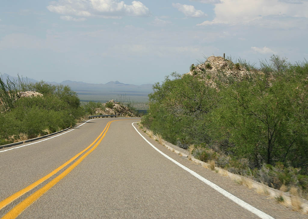
 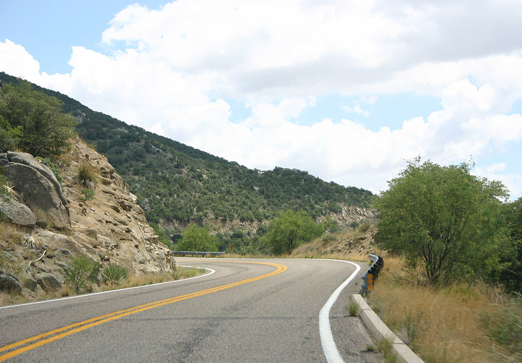 | SR 386 navigates through some sharp curves on the climb. 07/04/08 |
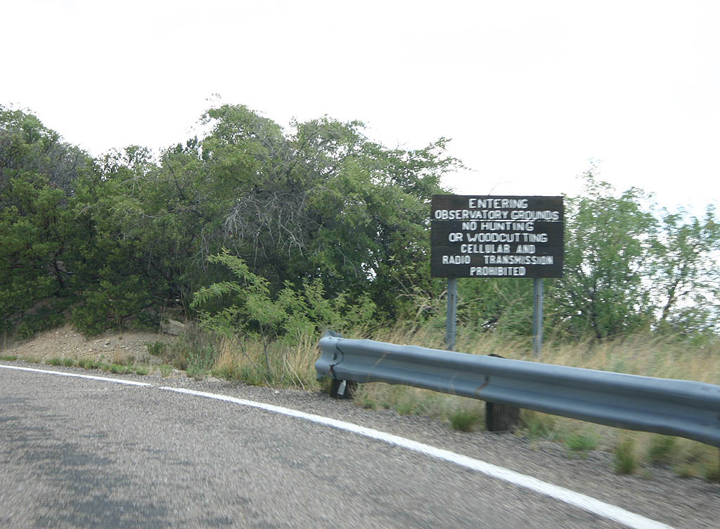 | SR 386 enters the Observatory grounds here. No radio transmissions are permitted as they interfere with the telescope array. 07/04/08 |
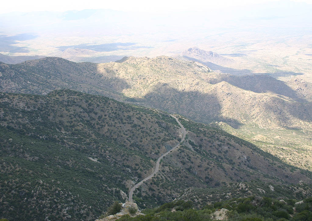
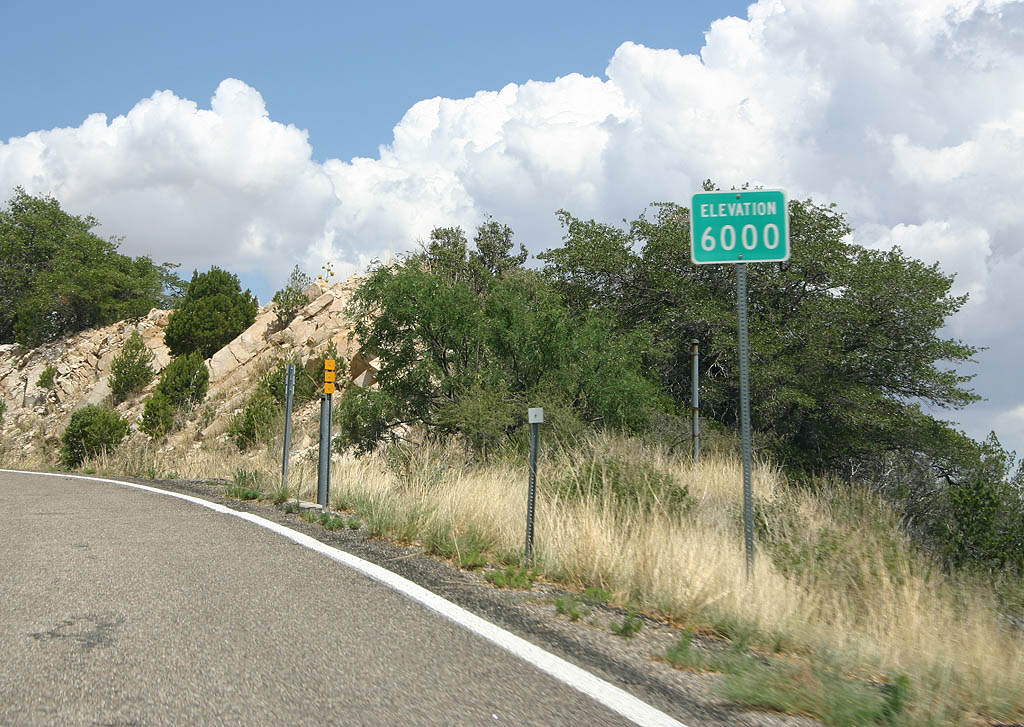 | SR 386 climbs rapidly in altitude, and crosses the 6000 foot mark here. The road caps out at 6780 feet. 07/04/08 |
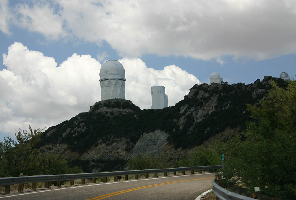 | This view shows the four meter telescope as Arizona 386 winds below it. The road ends just ahead at the visitor center parking area. No end shield is present. 07/04/08 |
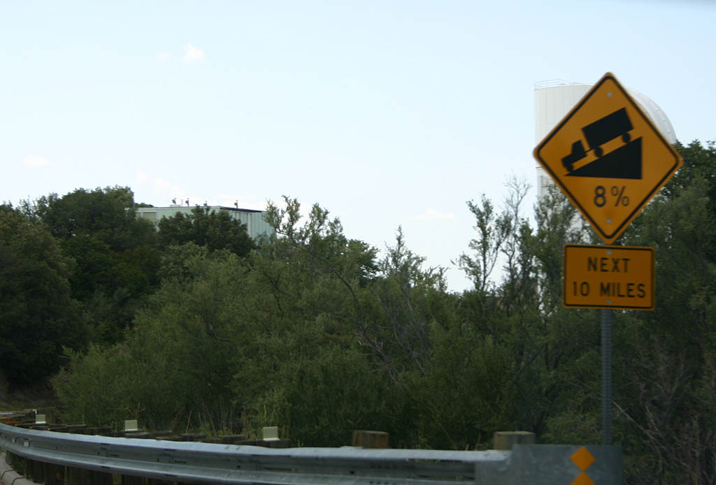 | SR 386 has an 8% grade all the way down to SR 86. 07/04/08 |
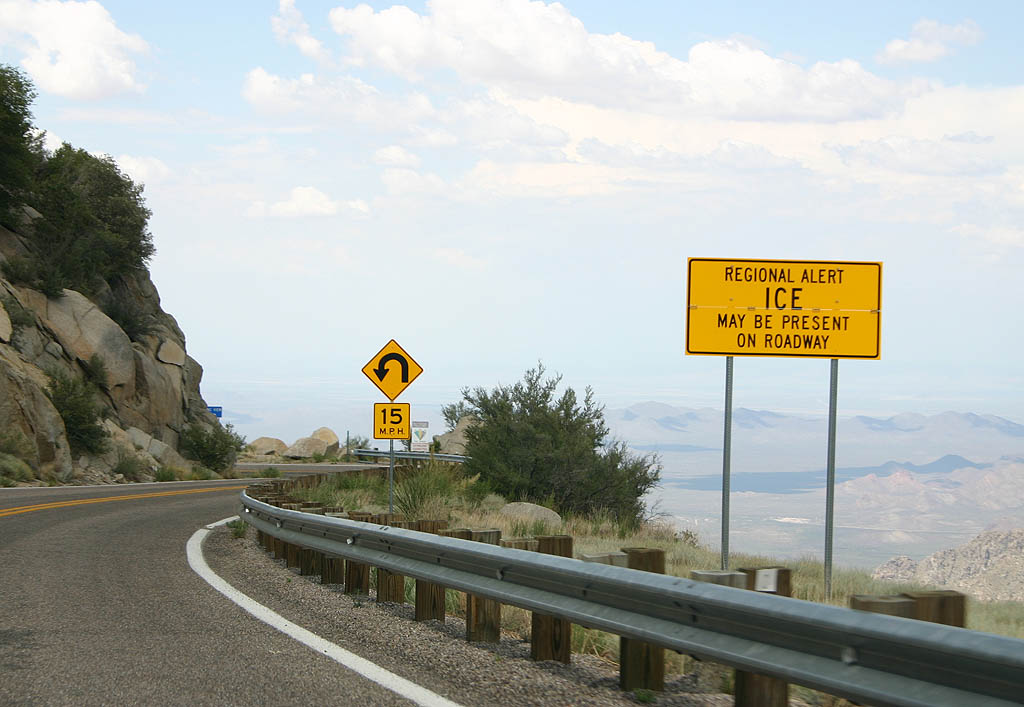 | Ice can form at any time along SR 386, including during the summer. 07/04/08 |
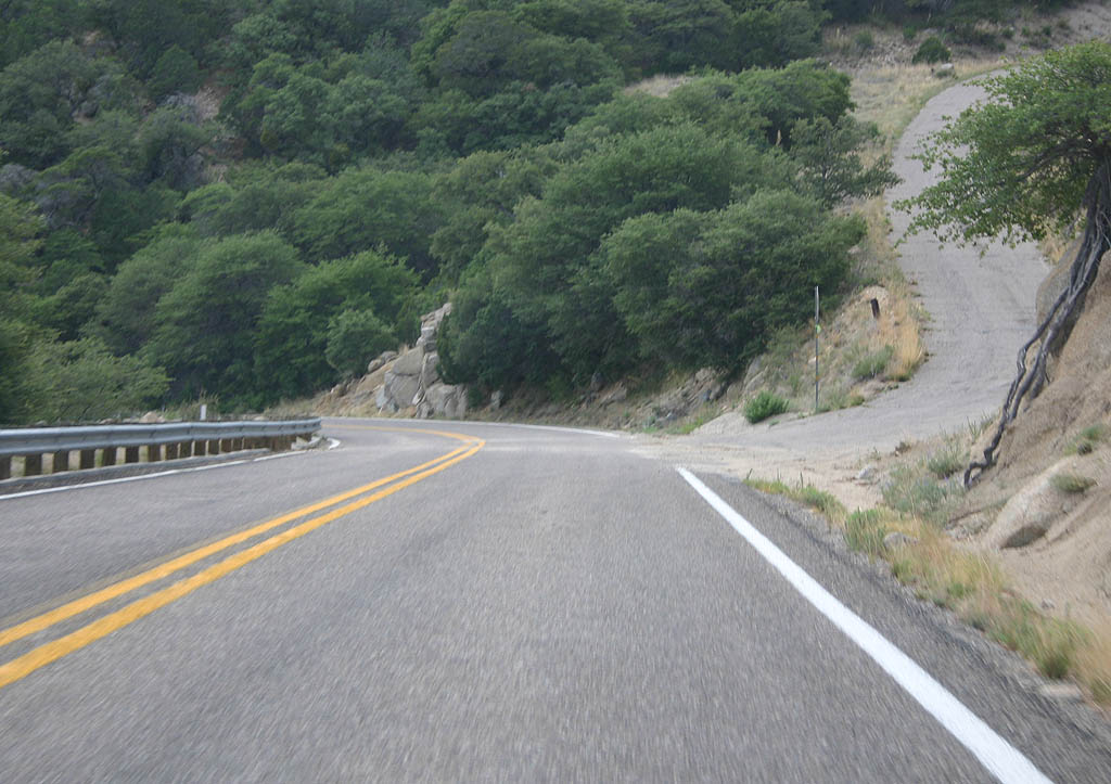  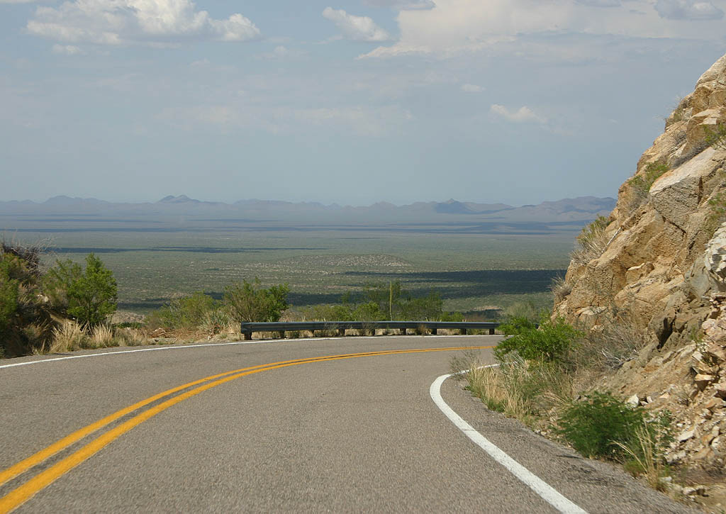  | Some of the grades along SR 386 as it winds down the slopes of Kitt Peak and the Quinlan Mountains. 07/04/08 |
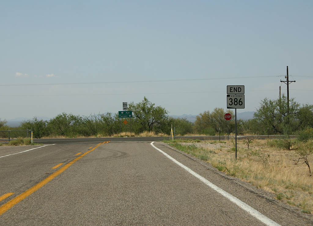 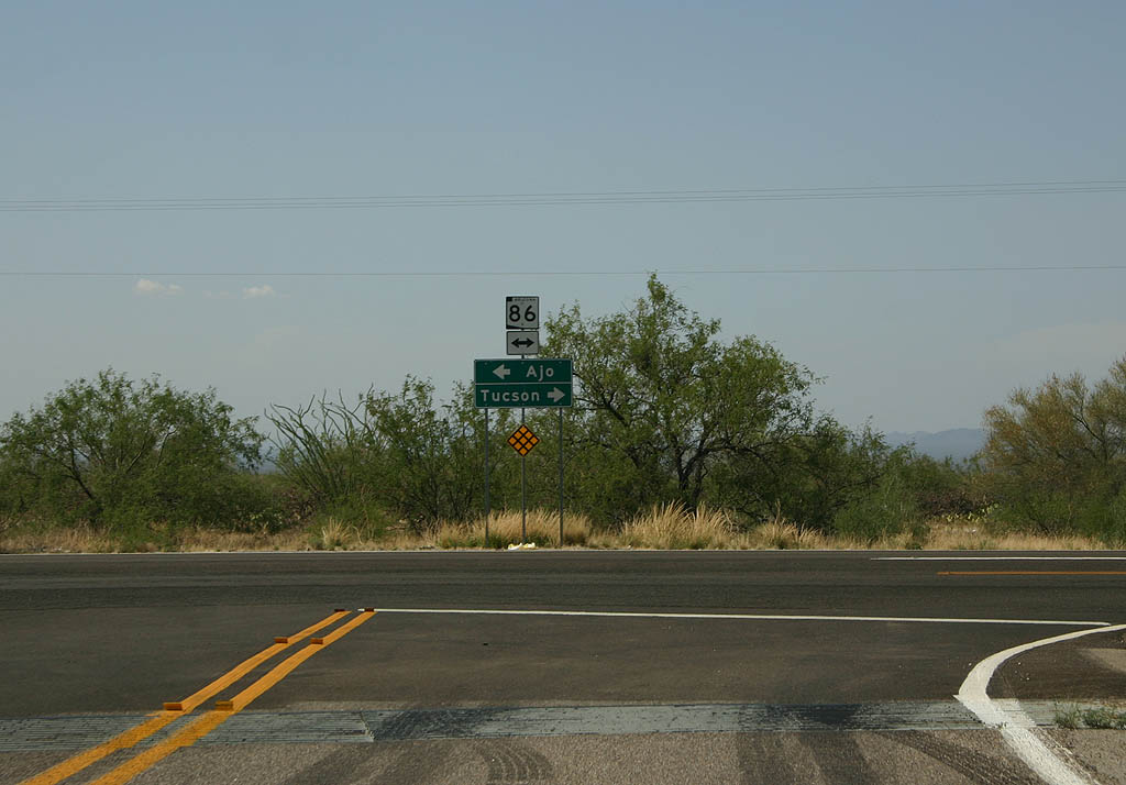 | SR 386 ends at SR 86. SR 86 travels west to Sells and Ajo and east to Tucson. 07/04/08 |
Photo Credits:
07/04/08 by Kevin Trinkle
Page Updated 07-08-2008.