

A fee station for the county park precedes the inlet bridge linking St. Jean Key with Mullet Key and Anderson Boulevard. Pinellas Bayway South and Anderson Boulevard west and east double as unsigned branches of County Road 679.
Separate toll plazas collected fares along Pinellas Bayway South ahead of both the Main Channel and Bunces Pass Bridges. The northern plaza was removed by the 1980s as tolls increased at the southern barrier. The north-south route was previously designated as State Road 693, the same number assigned to Pasadena Avenue and 66th Street North.
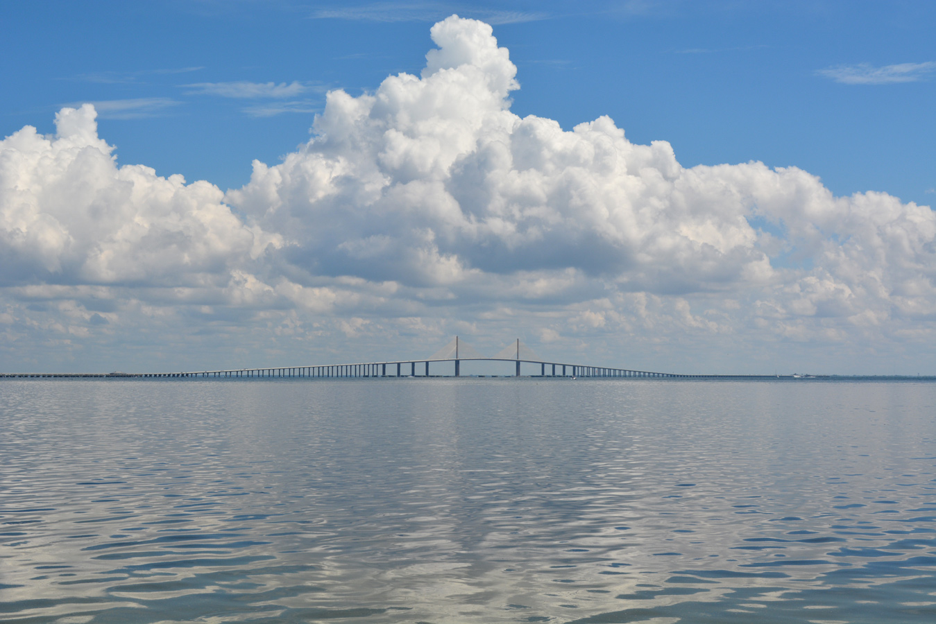
Looking west at SR 679 spanning the Main Channel over the Tierra Verde Bridge between Pine Key and Bird Key Middle Ground. 08/13/22
A $56.3 million project (410755-2, 427143-2, 432587-1) underway from December 2018 to Spring 2022 Fall 2022 replaced the bascule bridge connecting Isla Del Sol in St. Petersburg with Tierra Verde along SR 679 (Pinellas Bayway South). Work rebuilt a two mile stretch of SR 679 from north of Yacht Club Lane to SR 682 (Pinellas Bayway). This included adding a roundabout along SR 679 at Madonna Boulevard west and 1st Street E. Additionally a 12 foot wide multi use path along the east side of SR 679 and a five foot wide sidewalk along the west side were constructed. The new fixed high-level span opened to traffic on February 18, 2021.
 South South |
 | The first reassurance marker for SR 679 south appears along Pinellas Bayway S just beyond the intersection with SR 682 (Pinellas Bayway). 08/20/22 |
 | SR 679 reduces from four to two lanes south at Bahia del Mar Boulevard and the site of the former toll booth for Tierra Verde. 08/20/22 |
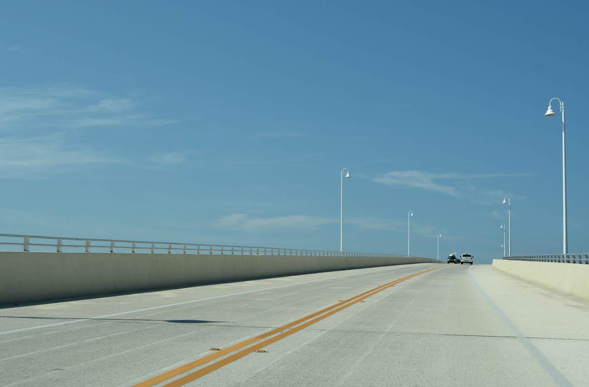
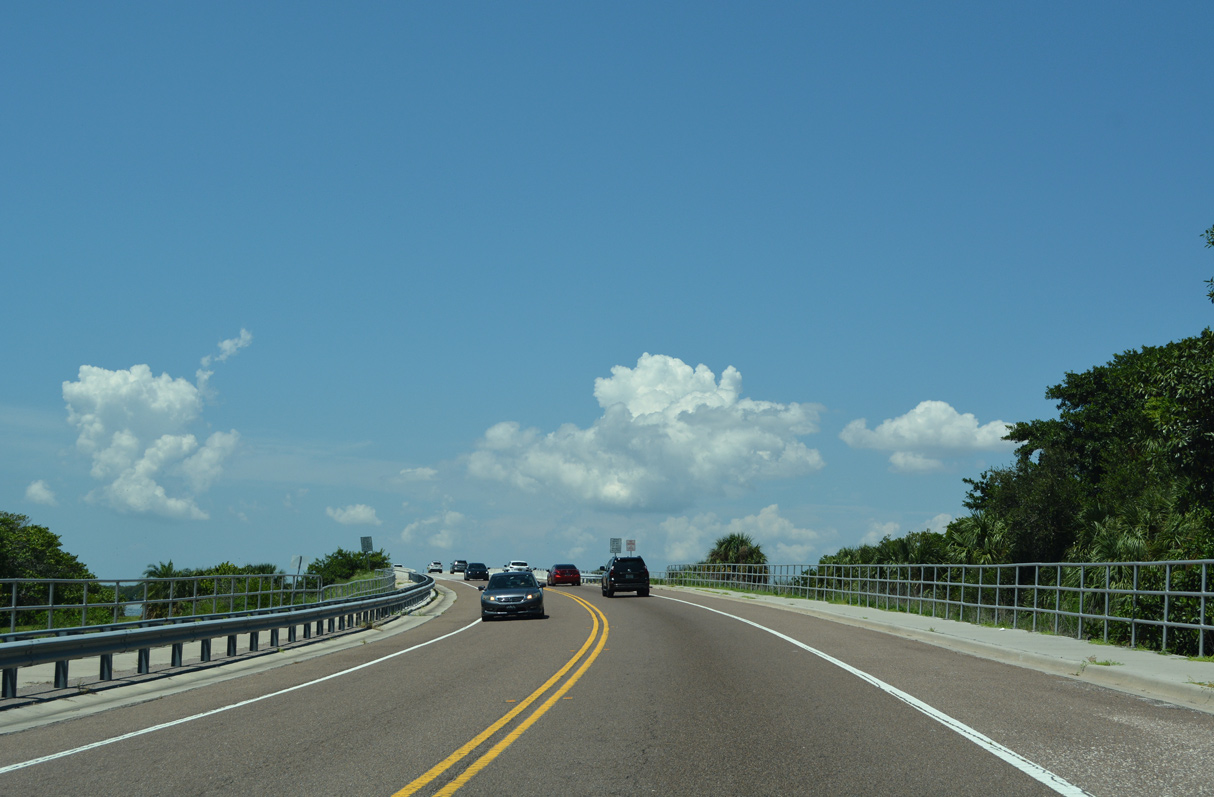
 | SR 679 (Pinellas Bayway S) extends south from Isla Del Sol along Bird Key Middle Ground to the Tierre Verde Bridge spanning the Main Channel. 08/20/22 |
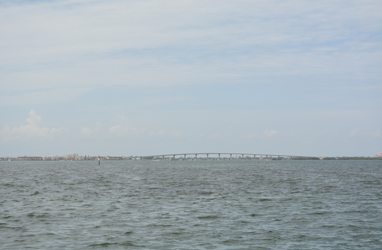
 | Spanning the Main Channel between Bird Key Middle Ground and Pine Key, the Tierra Verde Bridge was formerly a two lane draw bridge. 08/20/22 |
 | The high rise replacement for the Tierra Verde Bridge opened to traffic on February 18, 2021. 08/20/22 |
 | The Pinellas Bayway system of bridges and causeways originally opened in 1963. 08/20/22 |
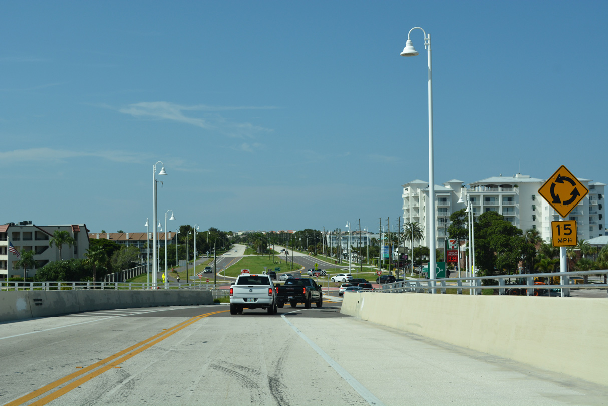  | Part of the $56.8 million replacement of the Tierre Verde Bridge, construction at the south end of the span included adding a roundabout with Madonna Boulevard west and 1st Street E. 08/20/22 |
 | Madonna Boulevard spurs west from Tierre Verde onto Pine Key. 08/20/22 |
 | South from Madonna Boulevard, SR 679 widens to four lanes with a grassy median through the community of Tierra Verde. 08/20/22 |
 | SR 679 advances south along Cabbage Key adjacent to Pine Key Cutoff. 08/20/22 |
 | Five miles separate Tierre Verde from Fort DeSoto County Park. 08/20/22 |
   | The four lane section of SR 679 (Pinellas Bayway S) extends south from Cabbage Key onto Cunningham Key. 08/20/22 |
 | The toll plaza for the Bunces Pass bridge along SR 679 lies at the south end of Cunningham Key. 08/20/22 |
 | Looking east from the Bounces Pass bridge at the distant Sunshine Skyway Bridge. 03/25/07 |
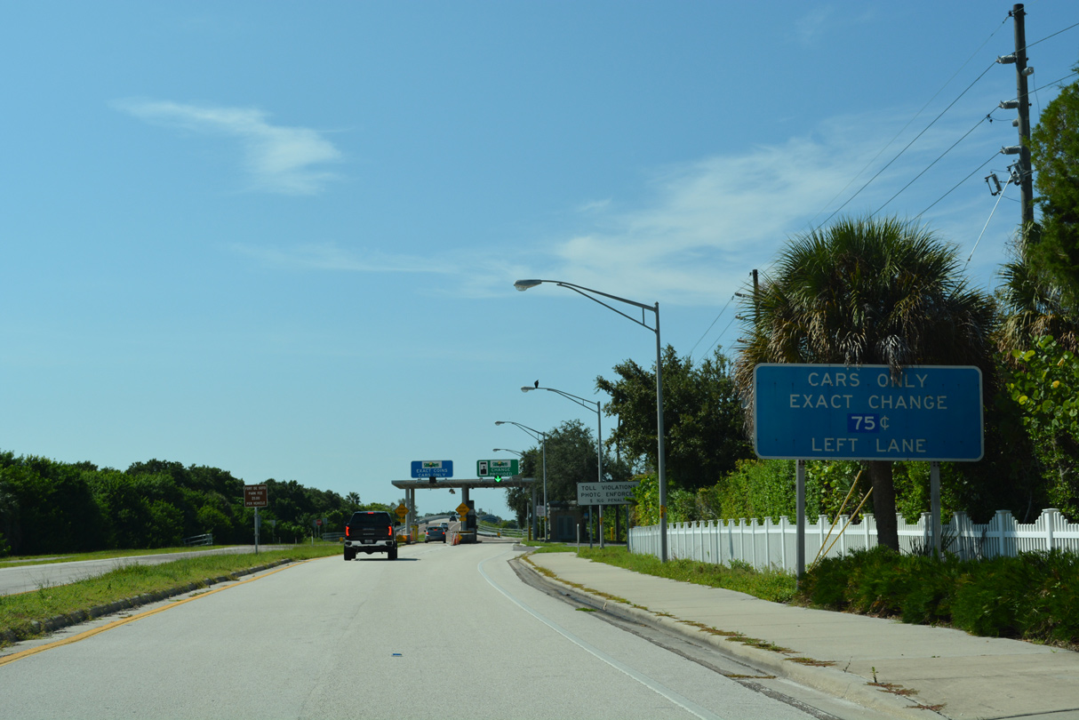 | The toll plaza for the Bunces Pass bridge along SR 679 lies at the south end of Cunningham Key. 08/20/22 |
 | SunPass account holders may utilize either of the toll booth lanes at the toll plaza on Cunningham Key. 08/20/22 |
  | A low level causeway and bridge spans Bunces Pass south to Madelaine Key and Fort DeSoto Park. 08/20/22 |
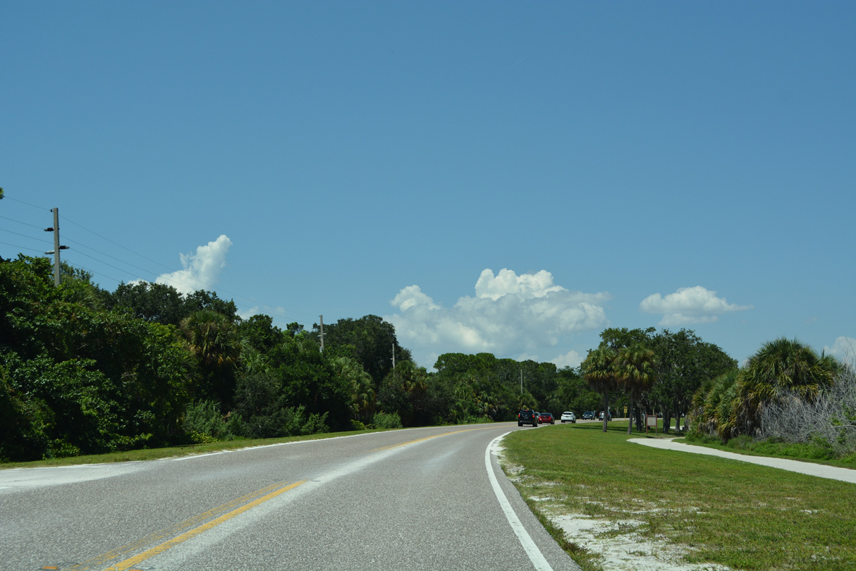
  | Continuing south into Fort DeSoto Park, Pinellas Bayway S next intersects the access road to a large boat ramp complex on the west shore of Madelaine Key. 08/20/22 |
  | A pay station lies south of the access road for Fort DeSoto Park Campground. Entrance fees were implemented at Fort DeSoto Park starting on January 3, 2012.1 08/20/22 |
 | The campground area lies along St. Christopher Key to the west of Pinellas Bayway South along Mullet Key Bayou. 08/20/22 |
 | Entering the pay plaza for Fort DeSoto Park along CR 679 south. Fees collected help pay for maintenance of the park grounds.1 04/03/14 |
 | Pinellas Bayway S crosses a bridge onto Mullet Key ahead of Anderson Boulevard. 08/20/22 |
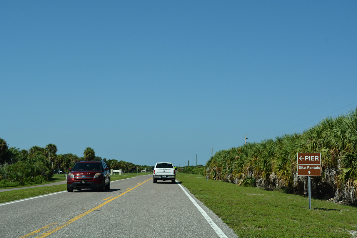
 | CR 679 splits into east and west spurs at Anderson Boulevard across from the park headquarters. Anderson Boulevard leads to East Beach and East Point on Mullet Key and west to Fort DeSoto and north to the Arrowhead Picnic Area. 08/20/22 |
 | Pinellas Bay S spans an inlet between Mullet Key and St. Jean Key just north of Anderson Boulevard. 08/20/22 |
 | Pinellas Bayway S northbound exits Fort DeSoto Park beyond the pay booth 08/20/22 |
 | CR 679 (Pinellas Bayway S) curves northward by Fort DeSoto Campground on St. Jean Key. 08/20/22 |
 | Pinellas Bayway S north at the access road to the Fort DeSoto Campground on St. Christopher Key. 04/03/14 |
 | Crossing Bunces Pass, the waterway separating Madelaine and Cunningham Keys, along Pinellas Bayway South northbound. 10/01/16 |
| North |
 | Unsigned County Road 679 transitions into State Road 679 at the Bunces Pass bridge. The span was built in 2001. 08/20/22 |
 | The Sunshine Skyway appears beyond Conception Key and East Point on Mullet Key southeast from Bunces Pass. 08/20/22 |
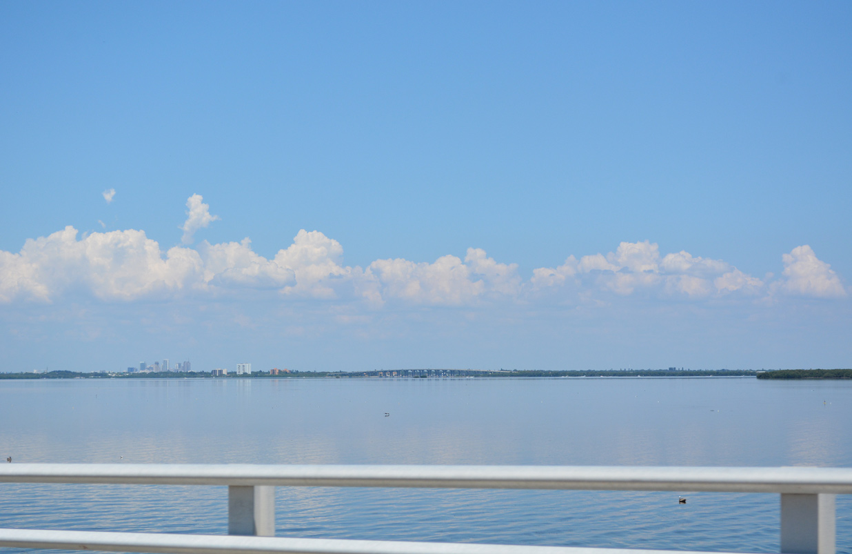 | High rises at Downtown St. Petersburg and the Dick Misener Bridge along I-275/U.S. 19 come into view to the northeast of Bunces Pass. 08/20/22 |
 | The first shield for SR 679 stands north of the toll plaza area on Cunningham Key. 08/20/22 |
  | SR 679 (Pinellas Bayway S) widens to four lanes with a grassy or landscaped median through Tierra Verde. 08/20/22 |
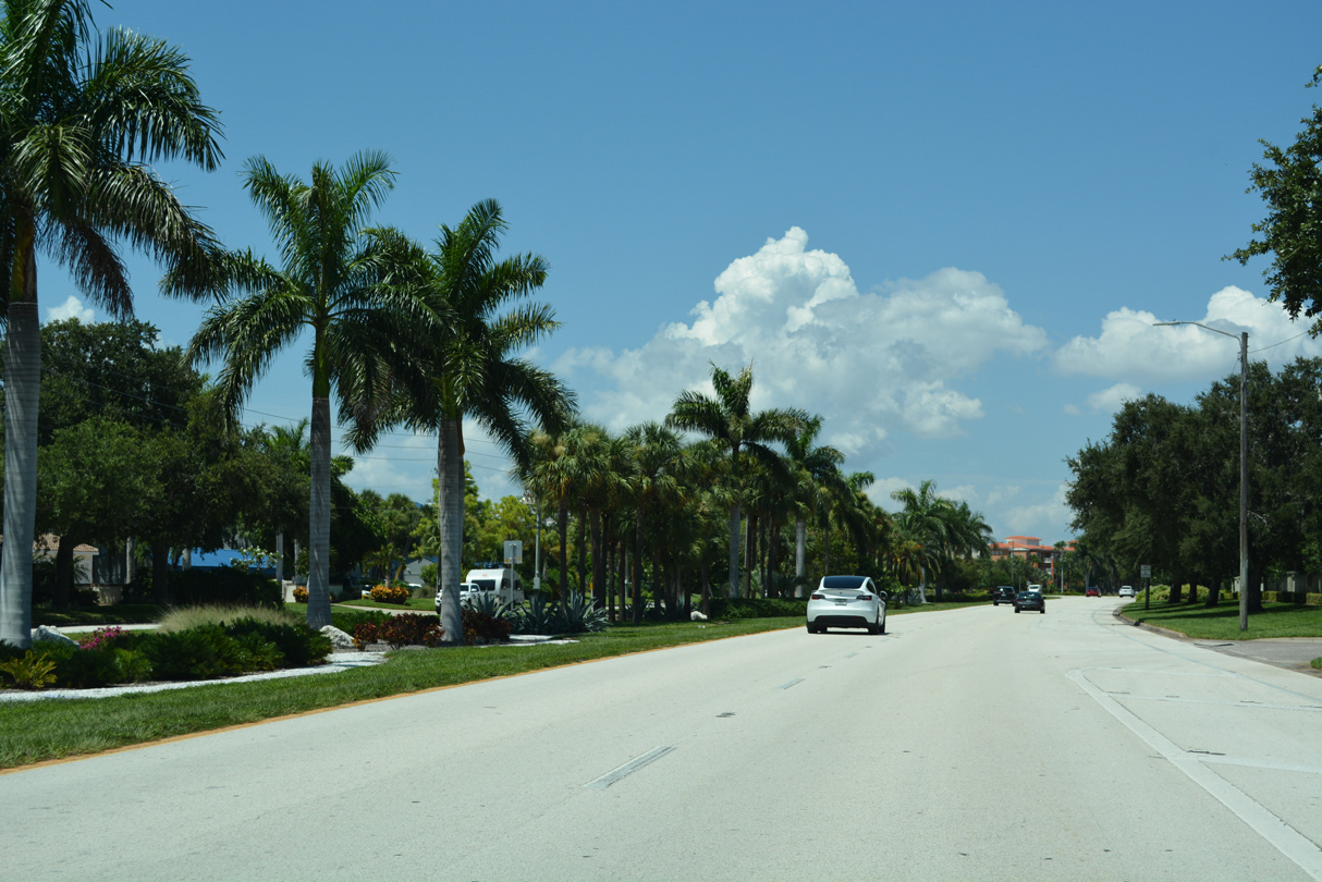 | Condos and town homes line both sides of SR 679 (Pinellas Bayway S) through Tierra Verde. 08/20/22 |
 | A second shield for SR 679 preceded the former intersection with Madonna Boulevard west on Cabbage Key in Tierra Verde. 04/03/14 |
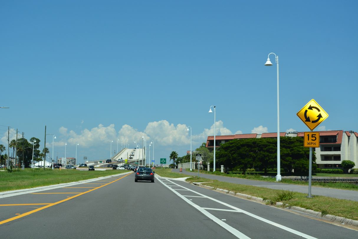 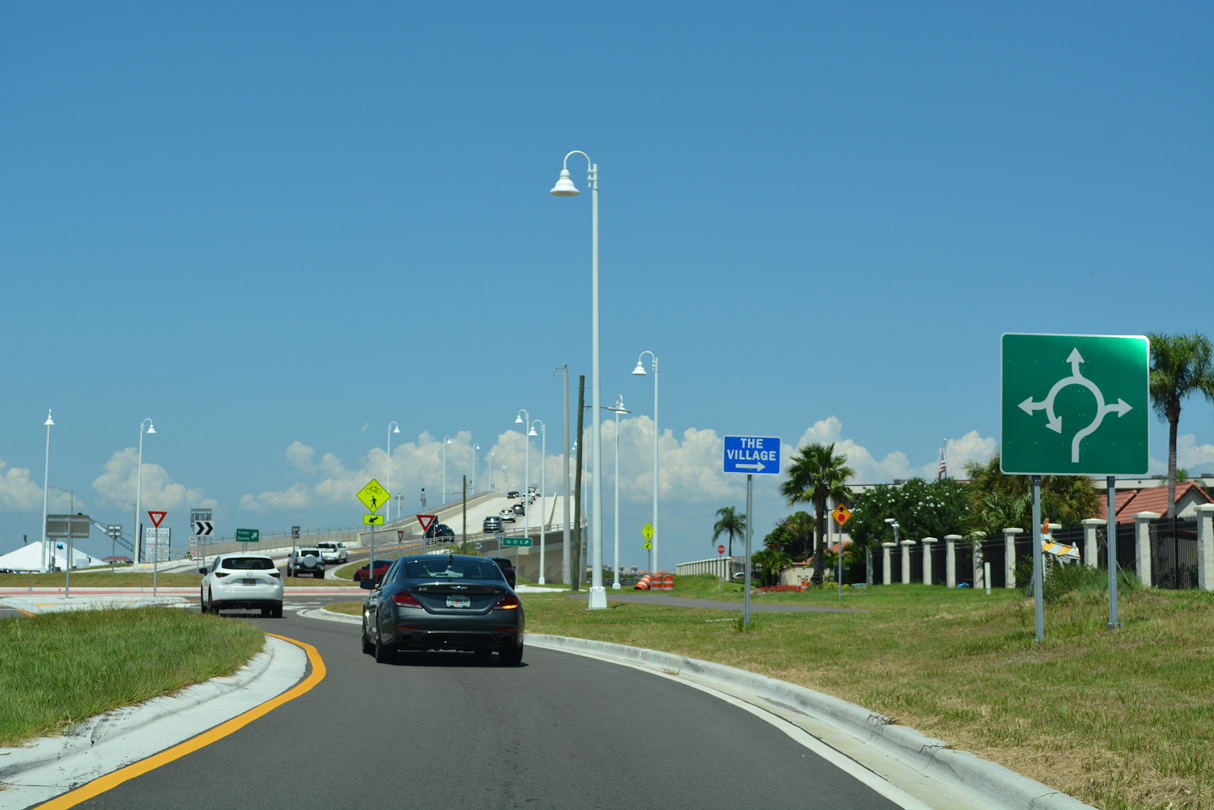   | Construction replacing the two lane draw bridge connecting Tierra Verde with Isle Del Sol included adding a roundabout along SR 679 with 1st Street E and Madonna Boulevard west. 08/20/22 |
 | The high rise bridge taking SR 679 across the Main Channel (Gulf Intracoastal Waterway) north from Tierra Verde opened to traffic in February 2021. 08/20/22 |
 | The high rise span across the Gulf Intracoastal Waterway peaks at 90.05 feet above sea level. 08/20/22 |
 | The previous bascule bridge connecting SR 679 north with the narrow strip of land along Bird Key Middle Ground south of the Isla Del Sol community was built in 1962. 08/20/22 |
 | The distant Dick Misener Bridge carries I-275/U.S. 19 south across the Main Channel from Maximo Point toward the Sunshine Skyway. 10/01/16 |
 | The Tierra Verde Bridge includes a walkway in the southbound direction. 08/20/22 |
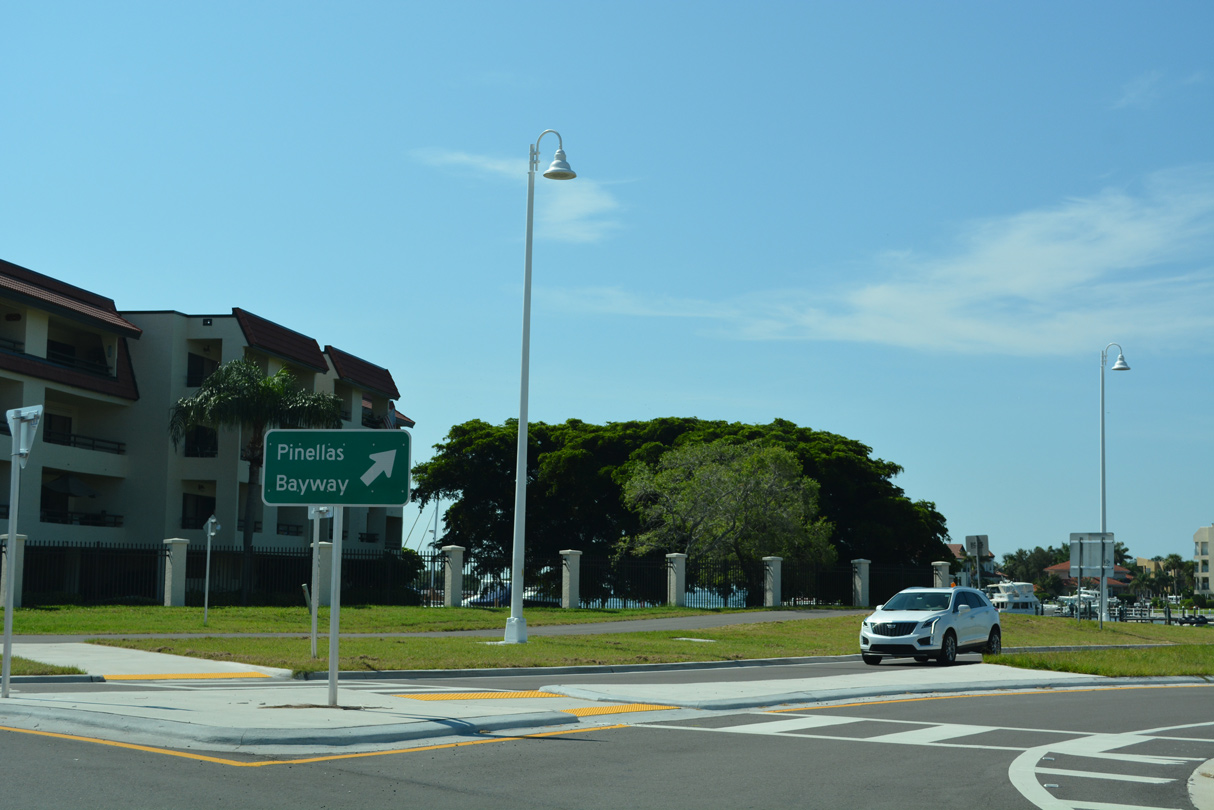
 | SR 679 ends at SR 682 (Pinellas Bayway) across from Sun Boulevard at Isle Del Sol. 08/20/22 |
 | SR 682 leads west to St. Pete Beach and the barrier islands and east to Eckerd College and Interstate 275 in south St. Petersburg. 08/20/22 |
 | Anderson Boulevard heads south from the north end of Mullet Key by Arrowhead Picnic Area. 04/03/14 |
  | Anderson Boulevard (unsigned CR 679) heads south along Mullet Key Bayou and Soldier Hole toward Historic Fort DeSoto. 08/20/22 |
 | Historic Fort DeSoto lies at the southern tip of Mullet Key. 08/20/22 |
 | Anderson Boulevard turns east ahead of the access road to Bay Pier. 08/20/22 |
 | Anderson Boulevard continues east to Bay Pier. 08/20/22 |
 | Anderson Boulevard intersects Pinellas Bayway S (CR 679 north) to Tierra Verde and the Pinellas County mainland. 08/20/22 |
 | The Fort Desoto Park Headquarters lie south of Anderson Boulevard at Pinellas Bayway S. 08/20/22 |
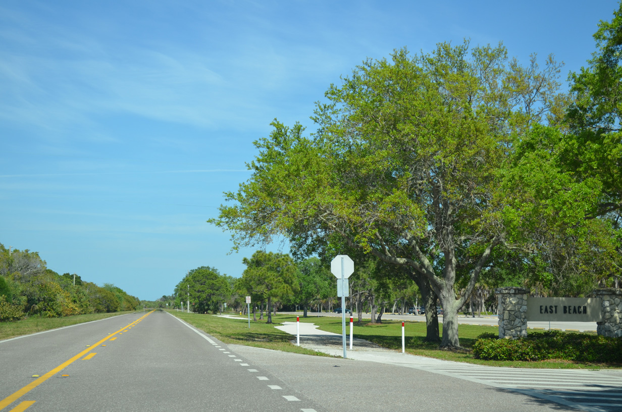 | Anderson Boulevard east at the East Beach Picnic Area off Tampa Bay. 04/03/14 |
 | Curving northward toward East Point along Anderson Boulevard. 04/03/14 |
 | Anderson Boulevard ends at a turnaround by East Point. 04/03/14 |
 | Anderson Boulevard angles southwest from East Point toward East Beach Picnic Area. 04/03/14 |
 | Anderson Boulevard west at Pinellas Bayway S (CR 679) north to Tierra Verde and St. Petersburg. 04/03/14 |
 | Unsigned CR 679 (Anderson Boulevard) west travels one mile from Pinellas Bayway S to Historic Fort DeSoto, a facility used during the Spanish American War, and three miles to North Beach. 08/20/22 |
 | The Bay Pier fishing pier extends over the waters of Egmont Channel east of Fort DeSoto. 08/20/22 |
 | Located at the southern tip of Mullet Key, east of the Gulf Pier, Fort DeSoto was built in 1898 during the Spanish-American War but never played a significant role during that conflict.2 08/20/22 |
 | Anderson Boulevard turns north along Mullet Key ahead of the Historic Fort DeSoto parking area. 08/20/22 |
 | The North Beach Area of Fort DeSoto was ranked as the top beach in 2005 by "Dr. Beach", Dr. Stephen P. Leatherman. 08/20/22 |
 | A turnaround lies at the north end of Anderson Boulevard. 08/20/22 |
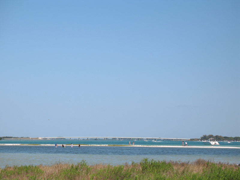  | Looking east from the North Beach area at Bunces Pass and the Pinellas Bayway South bridge to Cunningham Key. 03/25/07 |
- "New $5 fees at Fort De Soto, Fred Howard parks take effect Jan. 3, 2012." Tampa Bay Times (FL), December 29, 2011.
- Fort De Soto Park. Pinellas County, Florida.
Photo Credits:
- 03/25/07 by AARoads.
- 04/03/14 by AARoads and Carter Buchanan.
- 10/01/16 by AARoads.
- 08/20/22 by AARoads.
Connect with:
State Road 682 - Pinellas Bayway
Page Updated 09-27-2022.