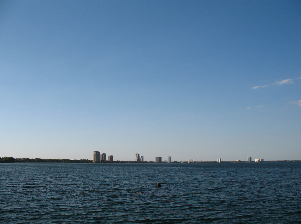
Commerce Street connects south Tampa with Picnic Island Park, a municipal park located on the east shore of Old Tampa Bay between the port and Mac Dill Air Force Base. 09/05/15
Interbay Boulevard was once a part of State Road 685A from Dale Mabry Highway (SR 685) west to West Shore Boulevard (Florida Secondary 587). SR 685A then extended west along Commerce Street to Port Tampa. The remainder of Interbay Boulevard east from Dale Mabry Highway to Bayshore Boulevard was always a locally maintained road.
|
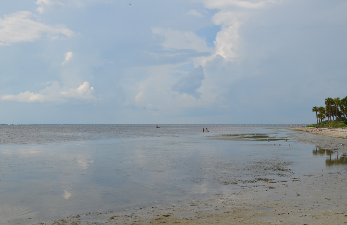
| Picnic Island Boulevard winds between Picnic Island Park and wetland areas of Picnic Island Creek to Port Tampa. 09/05/15 |
|
| Commerce Street parallels a set of CSX Railroad tracks along the Port Tampa City street grid to its end at West Shore Boulevard (CR 587) north and Interbay Boulevard east. 09/05/15 |
|
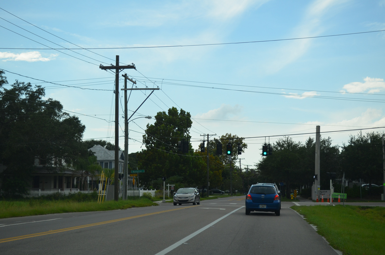
| Interbay Boulevard stems east from West Shore Boulevard (CR 587) through north Port Tampa City to intersect Manhattan Avenue. 09/05/15 |
|
| Curving northeast along the Sun Bay South community, Interbay Boulevard meets SR 573 (Dale Mabry Highway), the main access road to Mac Dill A.F.B. 09/05/15 |
|
| Interbay Boulevard ends at Bayshore Boulevard just shy of Gandy Boulevard. 03/07/07 |
|
| Interbay Boulevard turns west from southwest as it intersects Manhattan Avenue at Port Tampa City. Manhattan Avenue leads north through the Sun Bay South community back to U.S. 92 (Gandy Boulevard). 09/05/15 |
|
| Interbay Boulevard ends at the transition of West Shore Boulevard south into Commerce Street west. West Shore Boulevard doubles as County Road 587 leading north to Bayside West and SR 60 (Kennedy Boulevard) at Beach Park. 09/05/15 |
|
| Commerce Street curves southwest from Interbay Boulevard to the entrance to Port Tampa. Pictured here is the historic Port Tampa City Library at Mascotte Street. 09/05/15 |
Page Updated 11-18-2016.