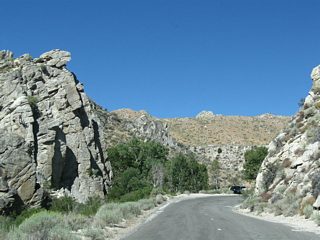
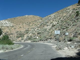
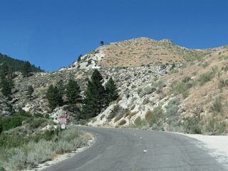
Nevada State Route 705 overlays a 0.928 mile portion of Clear Creek Road west from U.S. 395 along the Carson City and Douglas County line. Clear Creek Road is the old alignment of U.S. 50 (Lincoln Highway) leading west from south of Carson City. The segment of road within Douglas County is state maintained.
|
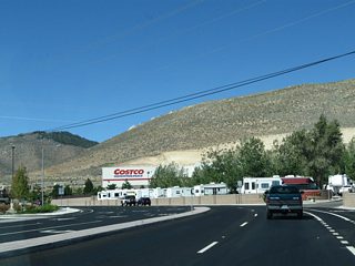
| The initial segment is locally maintained by Carson City, with connections to a Costco and other businesses. Fuji Park lies to the south along adjacent Clear Creek. 09/05/10 |
|
| The change in pavement after Vista Grande Boulevard south to the Stewart community marks the point where Clear Creek Road transitions onto state-maintained SR 705. Despite the no outlet sign, there is access to U.S. 50 via Golf Club Drive within Humboldt-Toiyabe National Forest further west. 09/05/10 |
|
| Milepost 0.91 for SR 705 appears as Clear Creek Road enters Douglas County. 09/05/10 |
|
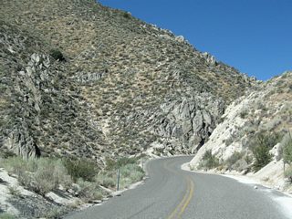
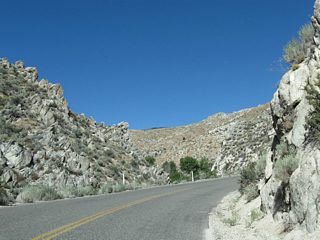
| SR 705 (Clear Creek Road) climbs into the foothills of the Carson Range through a canyon. 09/05/10 |
|
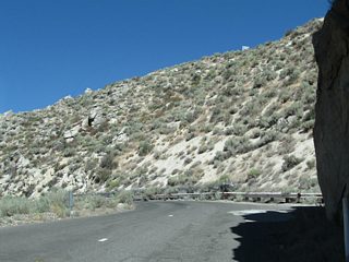
| SR 705 concludes as Clear Creek Road reenters Carson City. 09/05/10 |
|
| U.S. 50 travels above Clear Creek Road as a four lane expressway west to Spooner Summit. 09/05/10 |
|
| Clear Creek Road winds westward by a handful of ranch homes. The locally maintained road straddles the Douglas County line into Humboldt-Toiyabe National Forest. 09/05/10 |
|
| Four miles west from U.S. 395, Clear Creek Road intersects Golf Course Drive. Golf Course Drive leads south to the Clear Creek Tahoe golf course and north to a folded diamond interchange with the U.S. 50 expressway. Clear Creek Road continues west to become an unpaved national forest road. 09/05/10 |
Page Updated 07-19-2017.
 West
West
