|
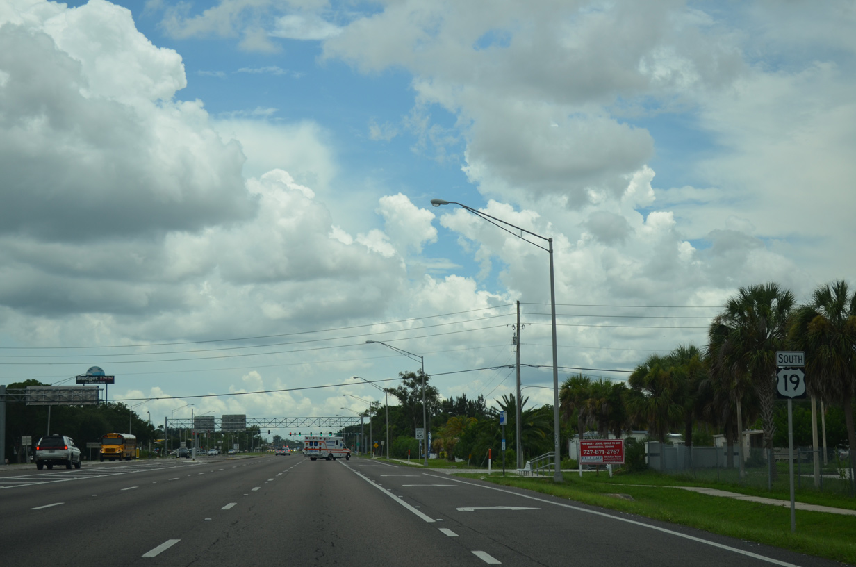
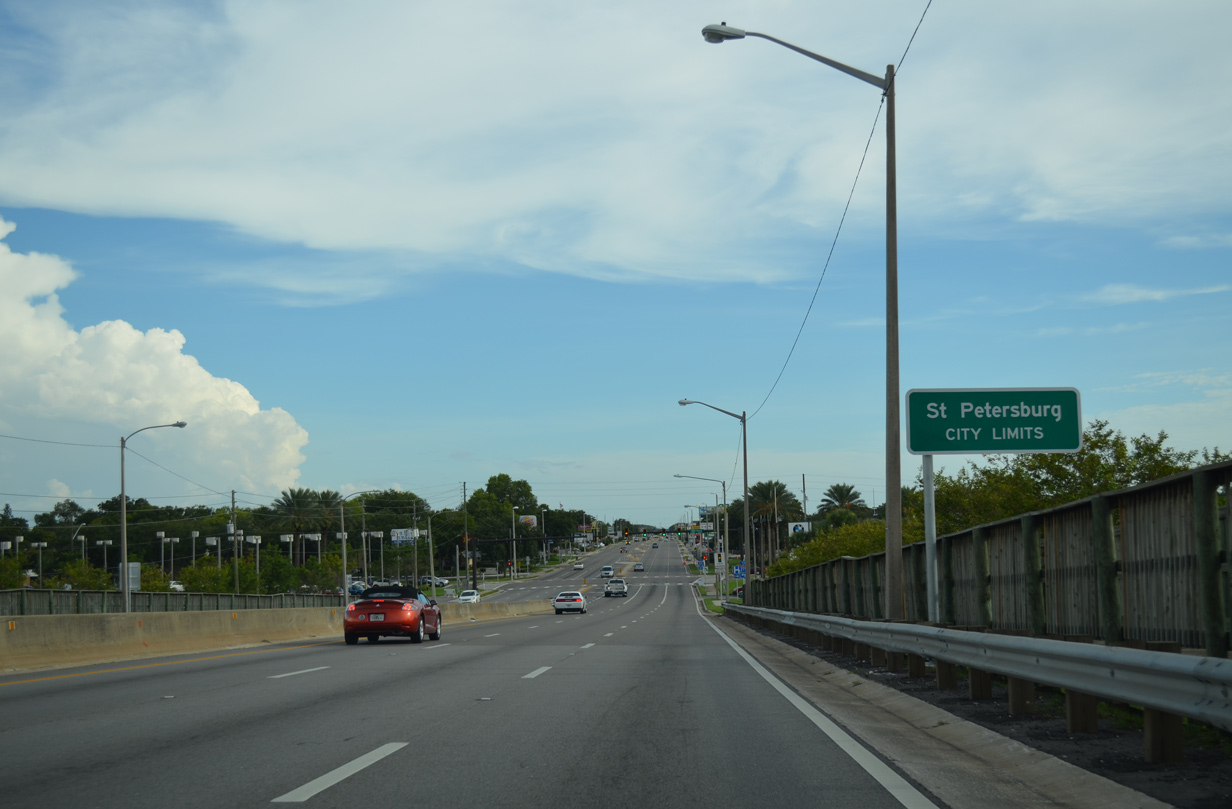
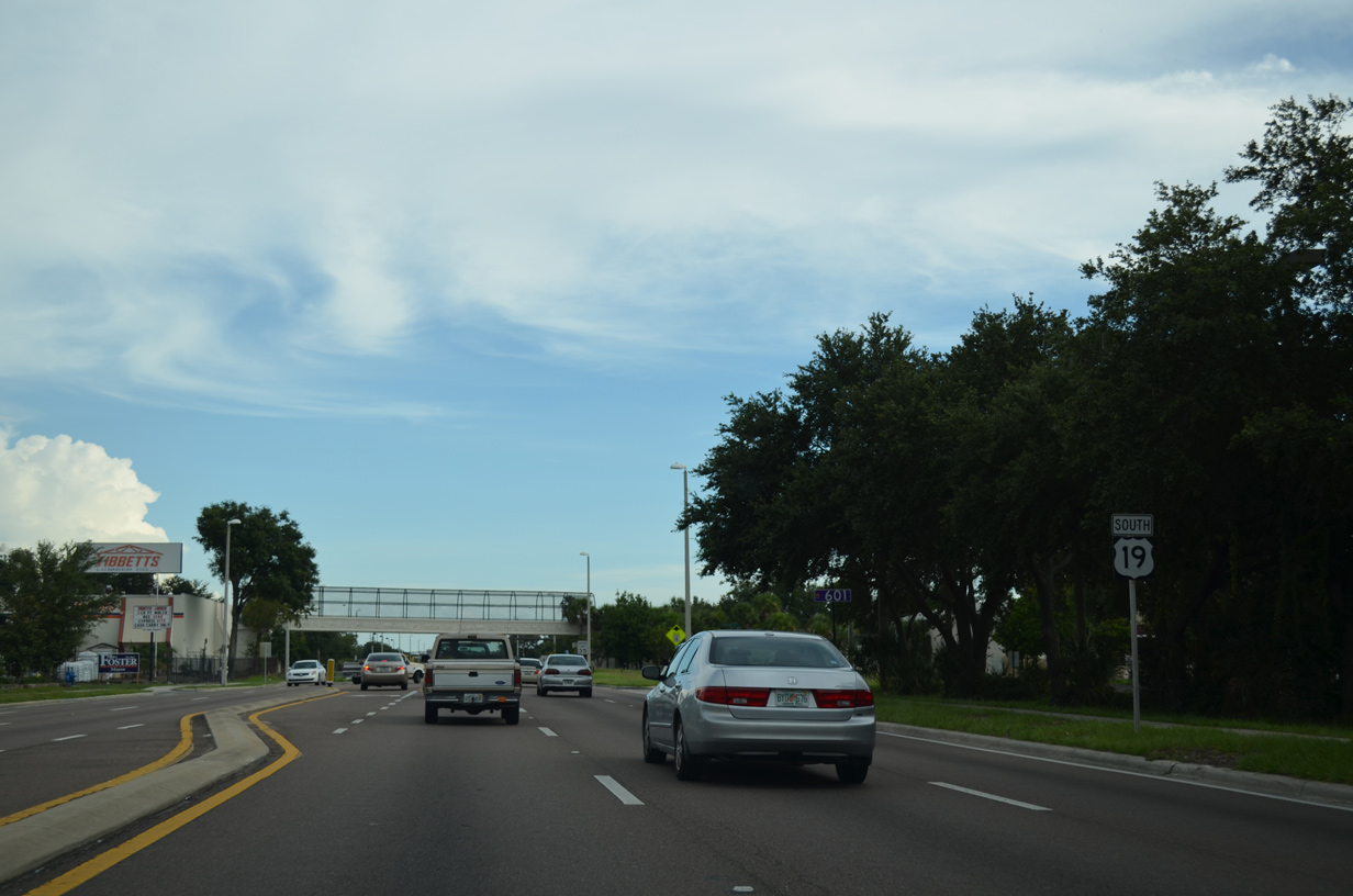
| U.S. 19 transitions into a commercial arterial from the 49th Street North ramps southward. 08/05/14 |
|
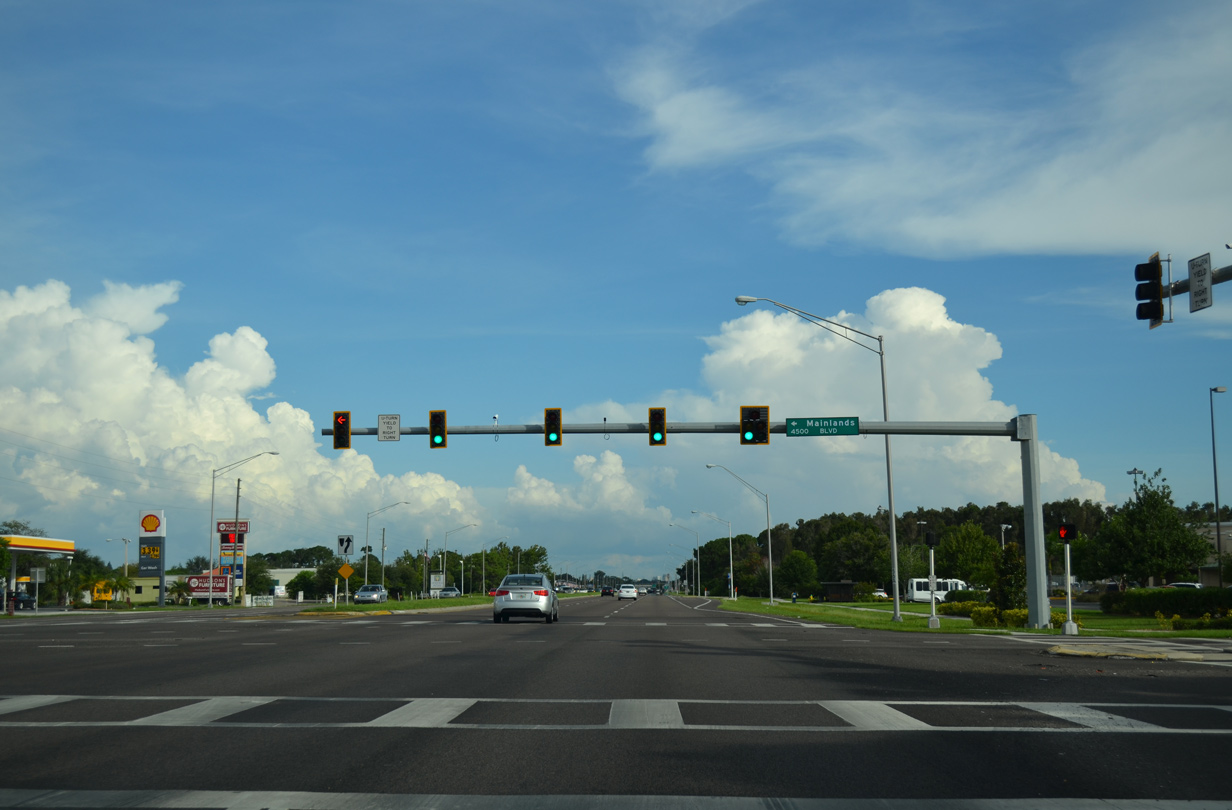
| Mainlands Boulevard provides the main access point to the sprawling Mainlands of Tamarac manufactured homes community and golf course. This is the first signal along U.S. 19 south since SR 586 at Curlew. 08/24/13 |
|
| 80th Avenue North ties into U.S. 19 at this traffic light opposite a Wal-mart. 08/24/13 |
|
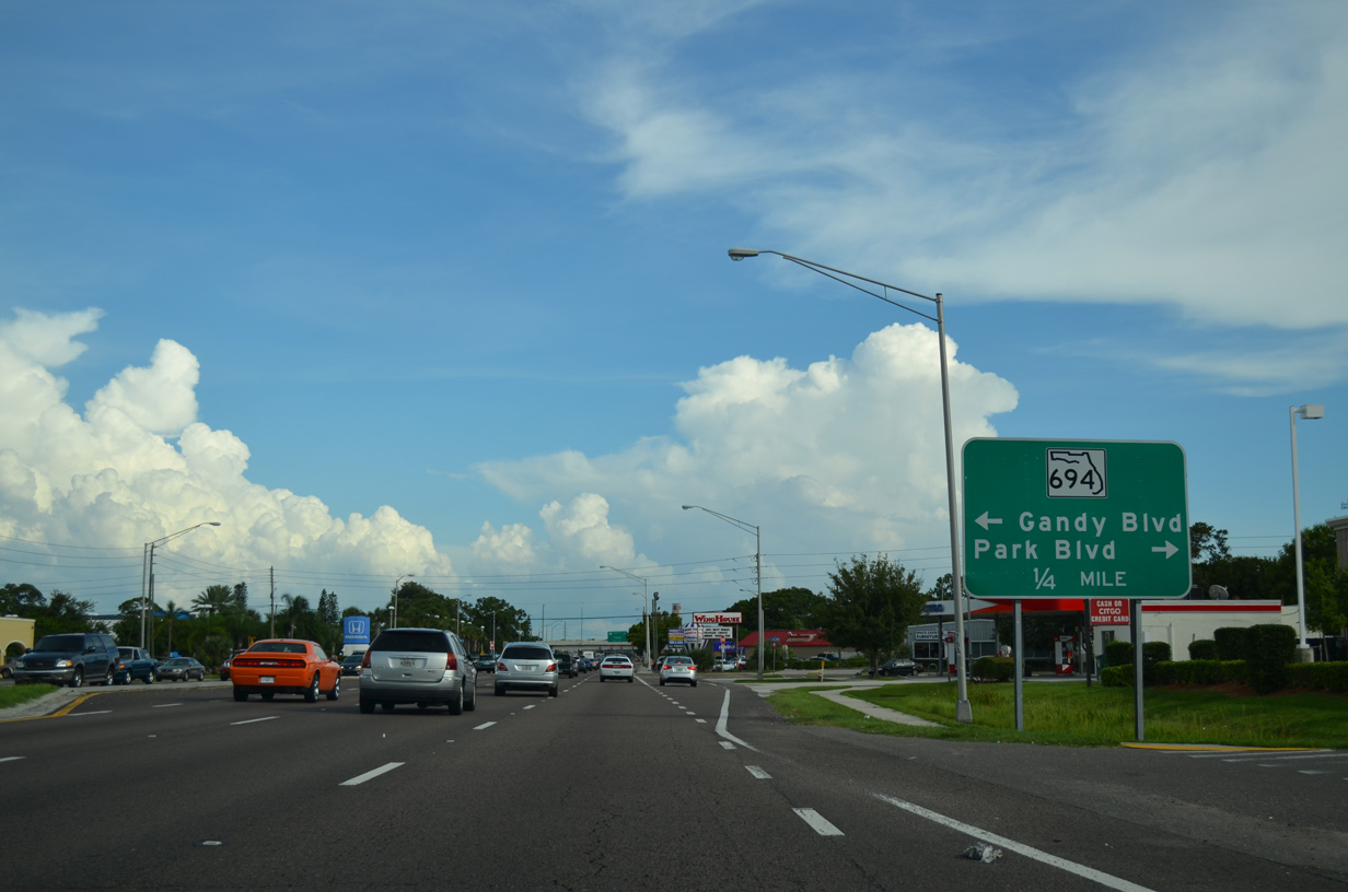
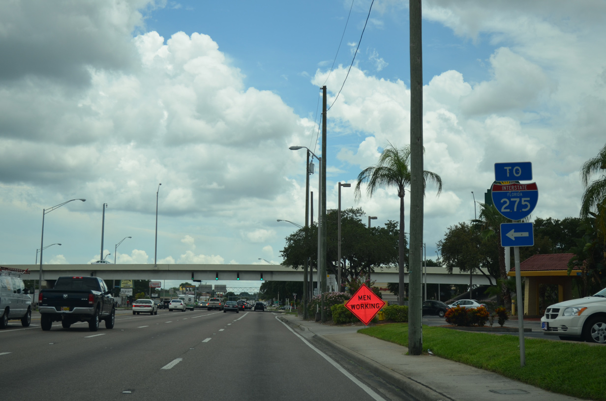
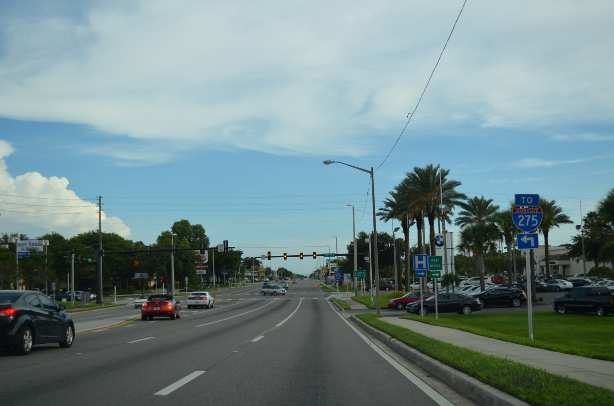
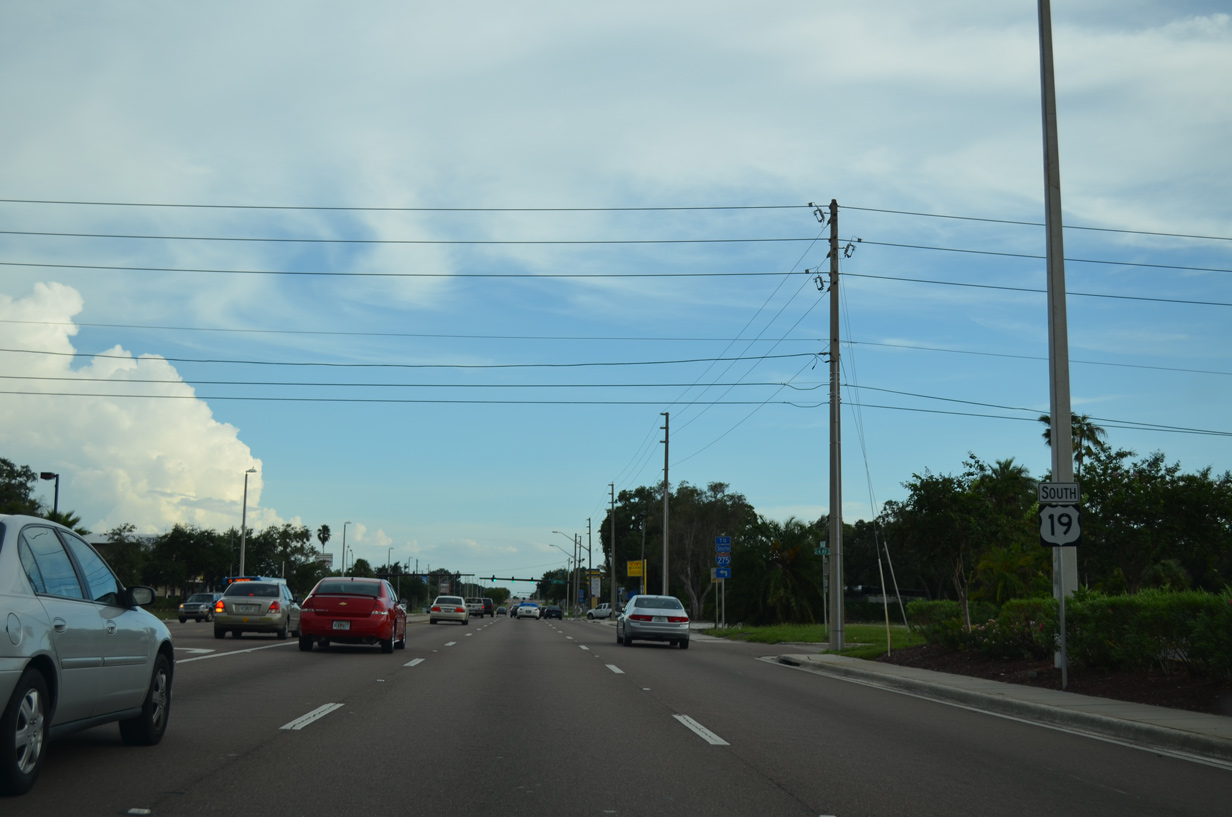
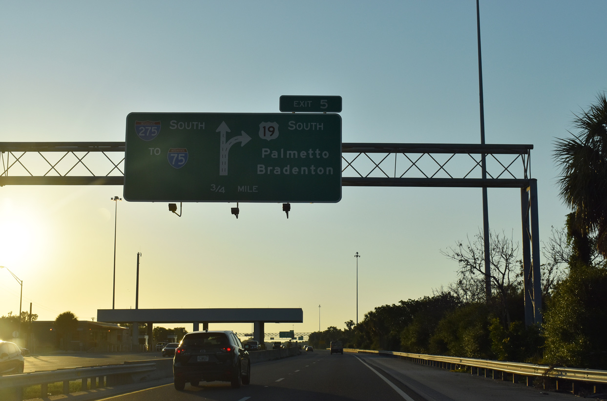
| A freeway style guide sign appears one quarter mile ahead of the single point urban interchange (SPUI) with SR 694 on U.S. 19 south. 08/24/13 |
|
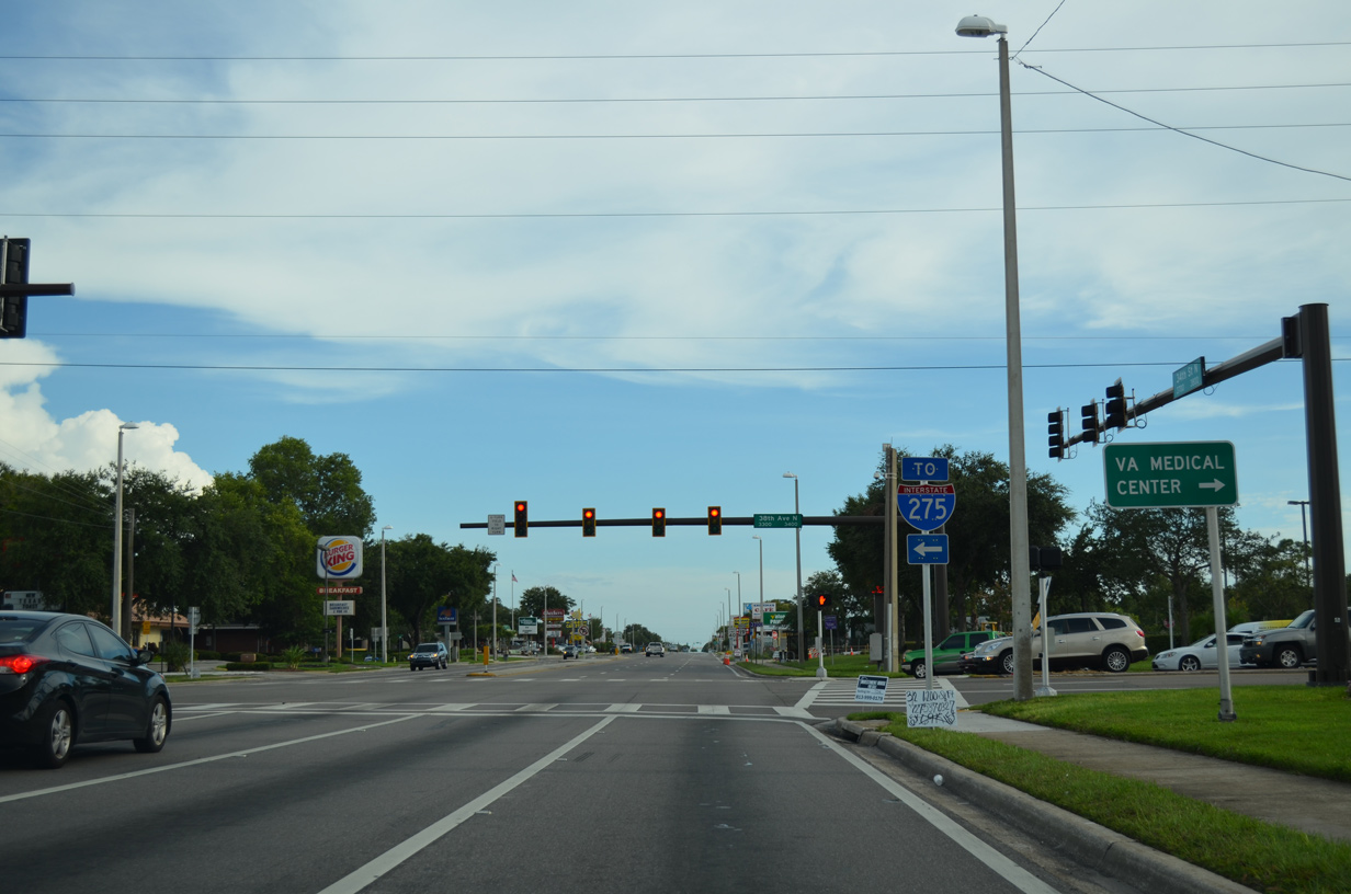
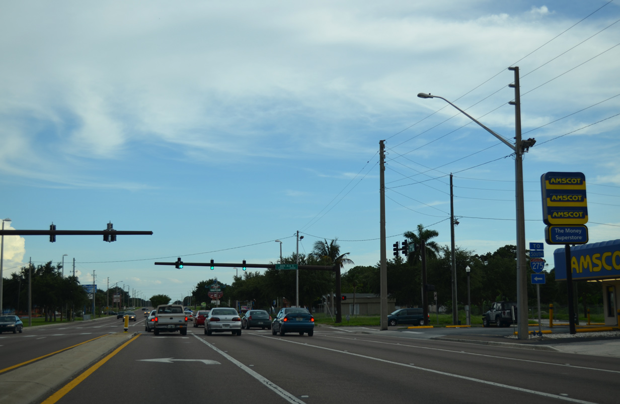
| SR 694 follows Park Boulevard west to SR 693 (66th Street North) in Pinellas Park and Gandy Boulevard northeast to the interchange where U.S. 92 turns east from 4th Street North in St. Petersburg. 03/22/16 |
|
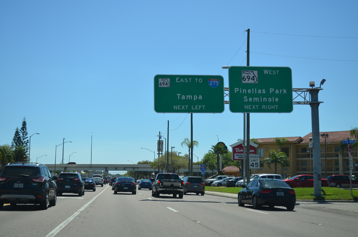
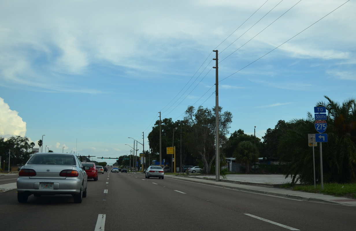
| State-named trailblazer posted ahead of the left turn for SR 694 (Gandy Boulevard) east. Gandy Boulevard and I-275 come together in 1.5 miles at Exit 28. 08/05/14 |
|
| SR 694 shields posted at the turn lanes for Park Boulevard west to Seminole and Gandy Boulevard east to the Gateway section of St. Petersburg. Park Boulevard becomes CR 694 west of SR 693 en route to Seminole, Oakhurst and Indian Shores. 08/05/14 |
|
| Reassurance shield posted at the Shoppes of Park Place ahead of the intersection with 72nd Avenue North. 08/05/14 |
|
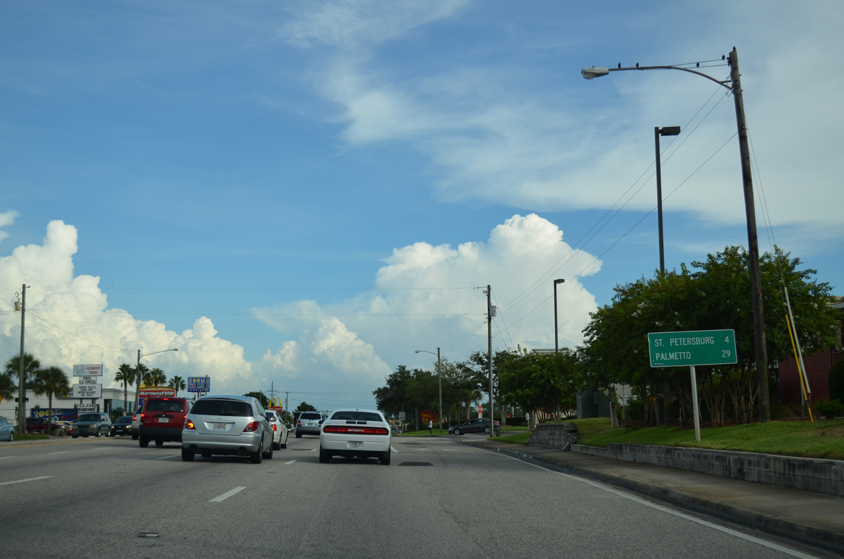
| Palmetto debuts on southbound distance signs for U.S. 19 at 29 miles out. The city lines the north banks of the Manatee River across from Bradenton. 08/24/13 |
|
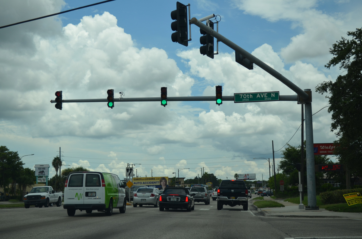
| 70th Avenue North comprises a four lane boulevard leading west from U.S. 19 to SR 693 (66th Street North) through the city of Pinellas Park. 08/05/14 |
|
| Haines Road (CR 691) partitions with U.S. 19 just beyond 70th Avenue North. Historically, Haines Road was the Temporary alignment of U.S. 19 southeast to 5th Avenue North in St. Petersburg. 03/22/16 |
|
| 66th Avenue North forms a short connector to Haines Road (CR 691) southeast to the Grovement and Allendale neighborhoods.
Haines Road was also previously designated Florida Secondary 689. 03/22/16 |
|
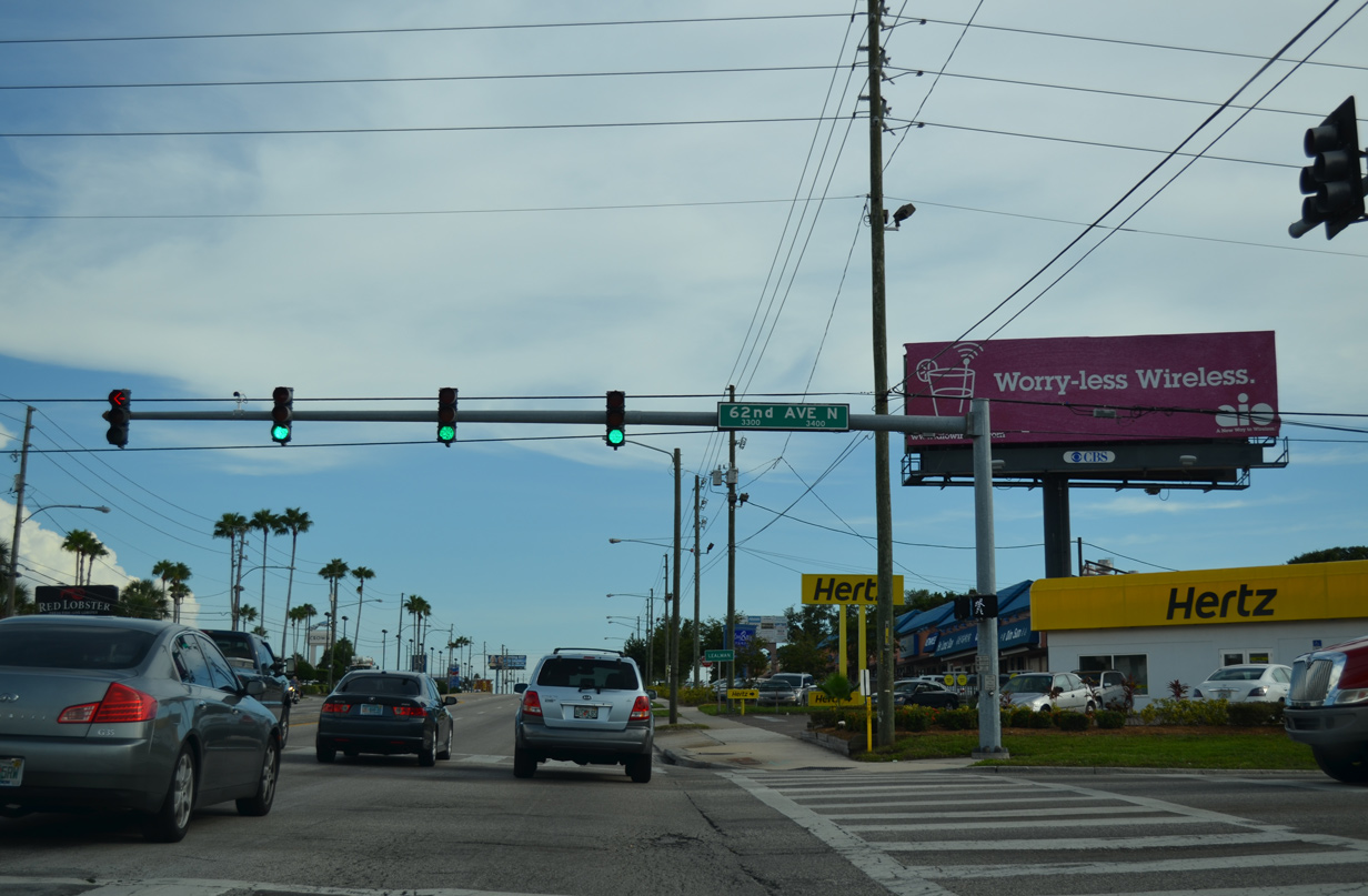
| U.S. 19 turns south onto 34th Street North for the remainder of the drive to I-275. Intersecting the arterial next is 62nd Avenue North. The boulevard passes under I-275 east to Meadowland and Fossil Park in north St. Petersburg and west across south Pinellas Park as County Road 216. 08/24/13 |
|
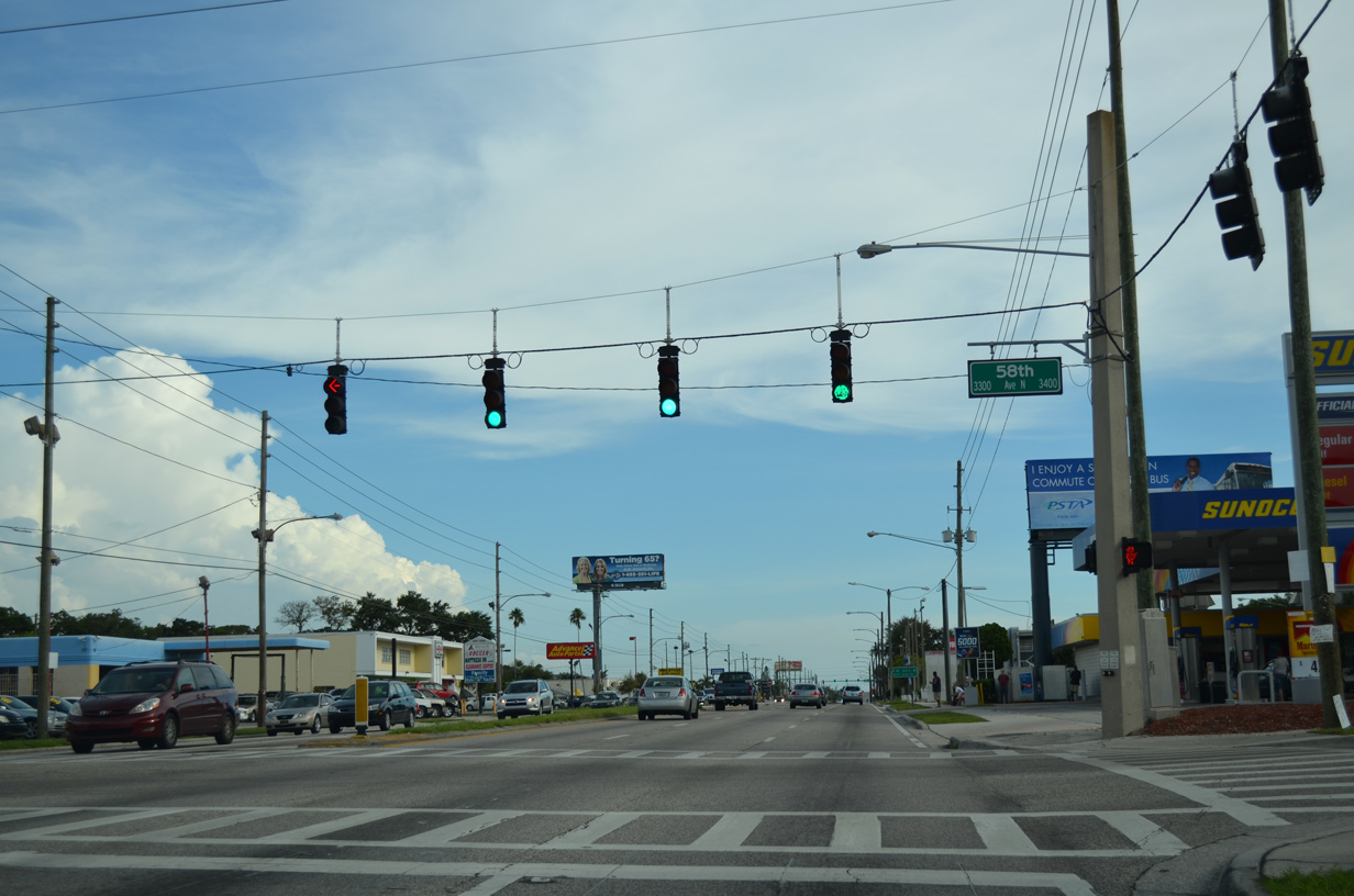
| 58th Avenue North serves a number of mobile home parks both west and east of its signal with U.S. 19 (34th Street North). 08/24/13 |
|
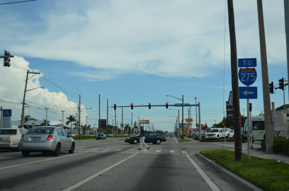
| 54th Avenue North (CR 202) provides a direct route to Interstate 275 at the Grovement neighborhood of St. Pete. CR 202 leads the arterial west to CR 1 (Park Street) by Cross Bayou. 08/24/13 |
|
| Six lanes of U.S. 19 ascends to cross over a CSX Railroad line between 44th and 38th Avenues North. 07/04/08 |
|
| Crossing over the railroad corridor, U.S. 19 (34th Street North) formally enters the city limits of St. Petersburg. 08/24/13 |
|
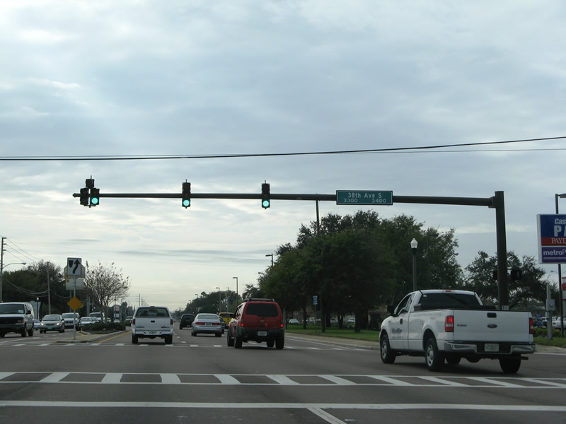
| 38th Avenue North (CR 184) travels 1.5 miles east to a diamond interchange with Interstate 275. 08/24/13 |
|
| West from U.S. 19, 38th Avenue North (CR 184) lines northern reaches of the Disston Heights neighborhood to 66th Street North (SR 693). The county road provides a direct route to U.S. 19 Alternate ahead of Bay Pines and Madeira Beach Causeway to the coast. 08/24/13 |
|
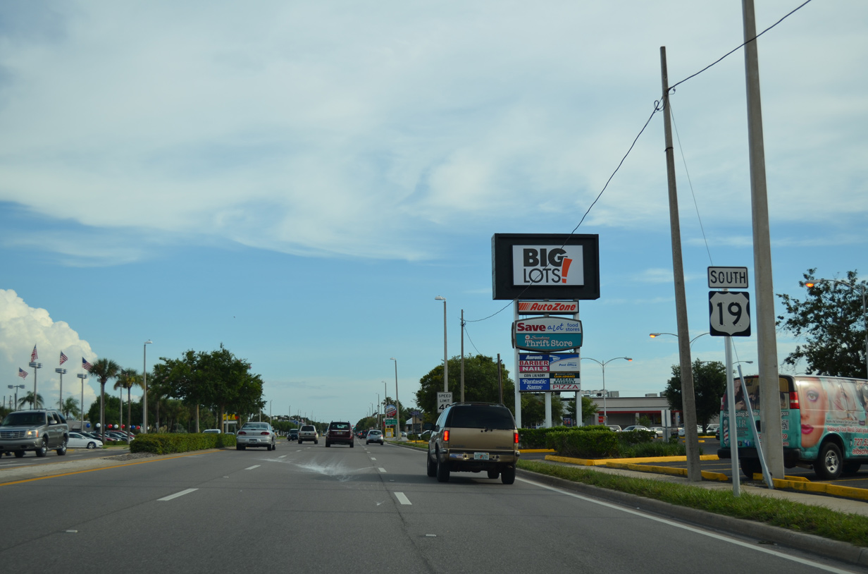
| Commercial frontage lines both sides of U.S. 19 for the bulk of the drive through St. Petersburg. 08/24/13 |
|
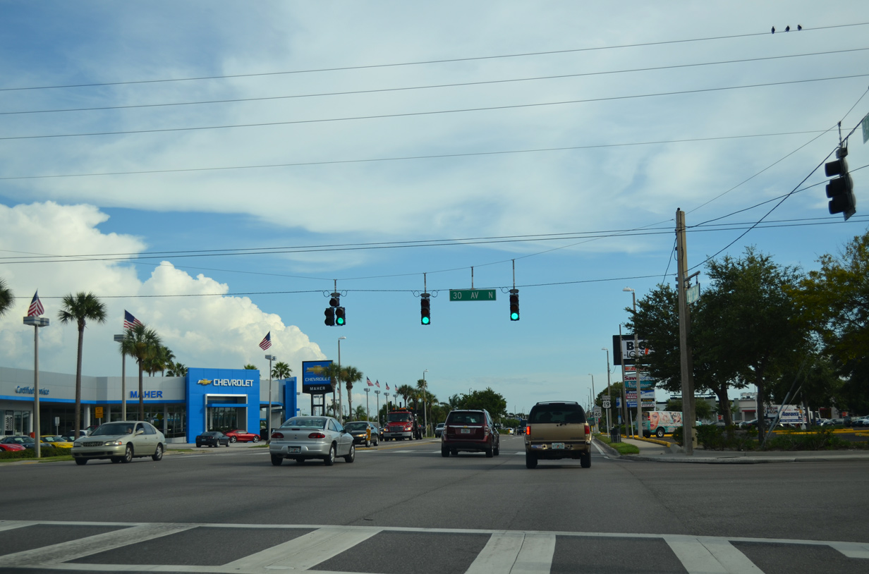
| 30th Avenue North intersects U.S. 19 at the next southbound traffic light. The avenue passes under I-275 between the Ponce De Leon and the Oakwood Gardens neighborhoods. 08/24/13 |
|
| Continuing south between the Disston Heights and Ponce De Leon neighborhoods along U.S. 19 (34th Street North). 08/24/13 |
|
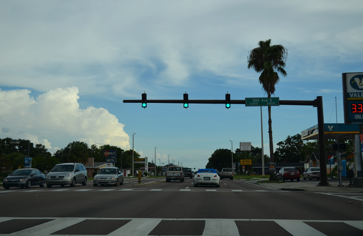
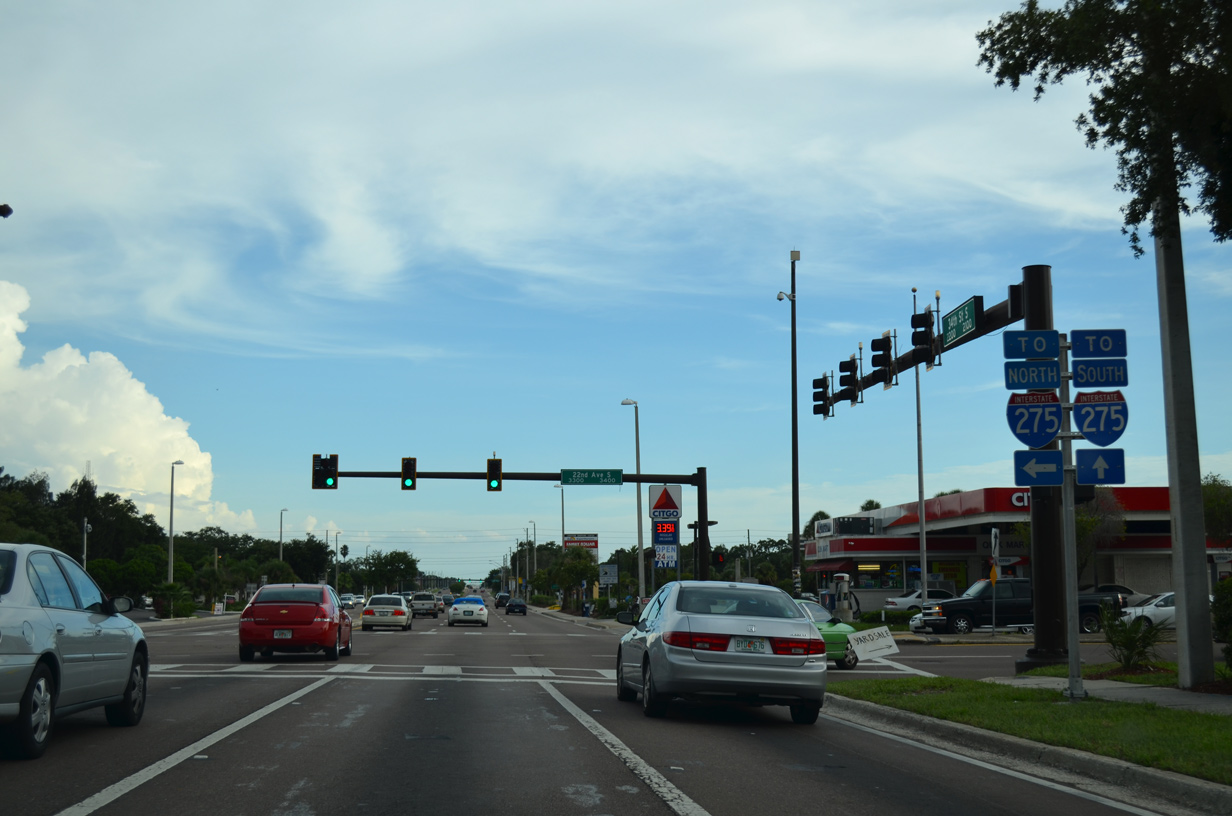
| 22nd Avenue North crosses paths with U.S. 19 from Sheffield Lake in Disston Heights en route to Exit 24 of Interstate 275. The boulevard was historically a part of Florida Secondary 690 east from U.S. 19 to U.S. 92 (4th Street North). 08/24/13 |
|
| U.S. 19 runs south along the North Kenwood neighborhood between 22nd and 9th Avenues North. 08/24/13 |
|
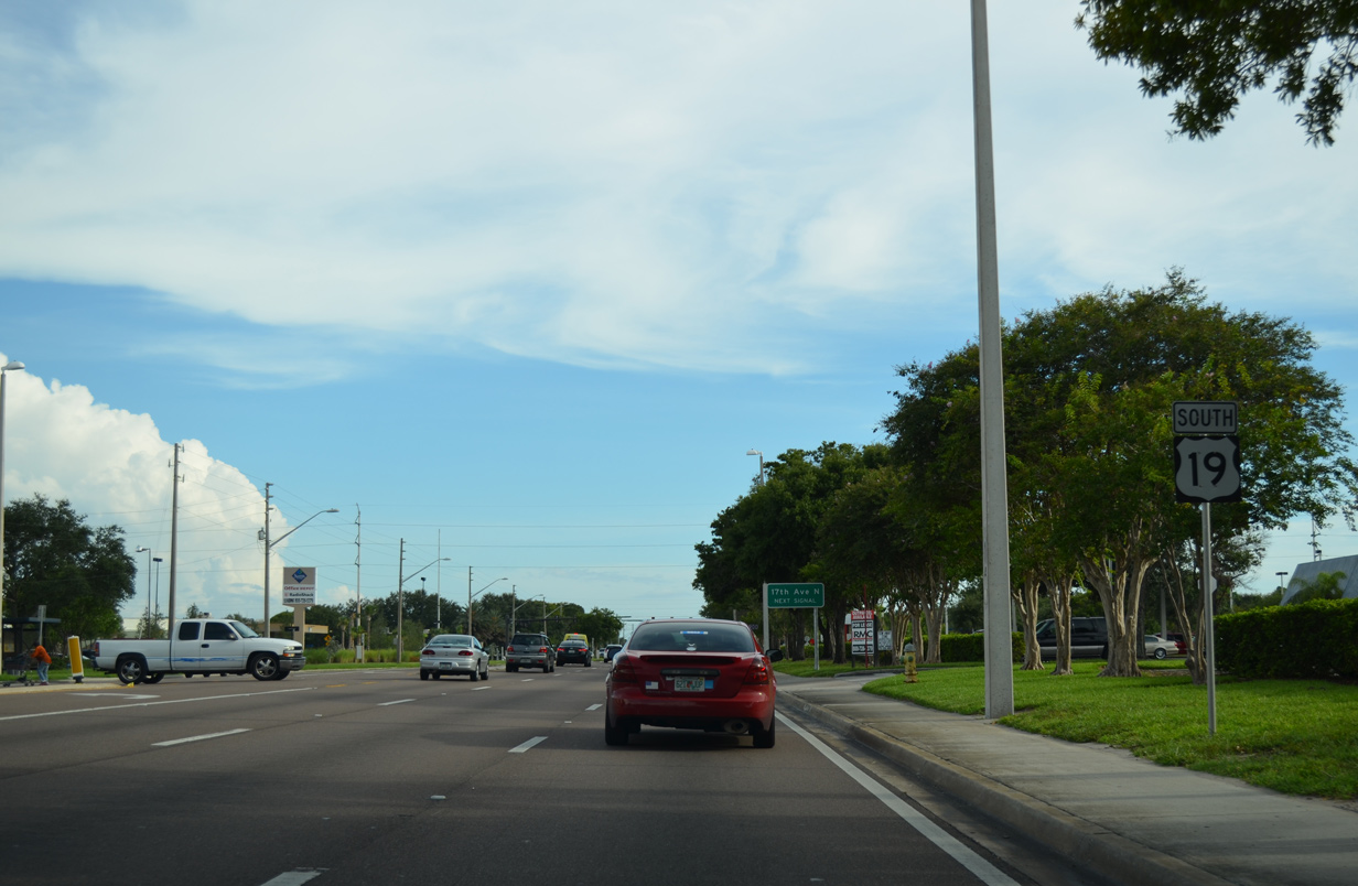
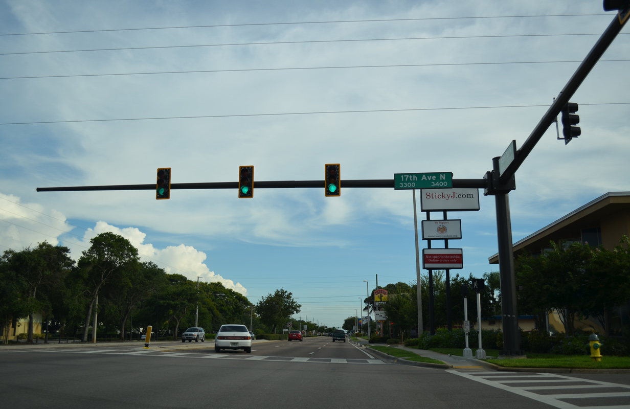
| 17th Avenue North ties into U.S. 19 (34th Street North) amid big box retail from Disston Heights. 08/24/13 |
|
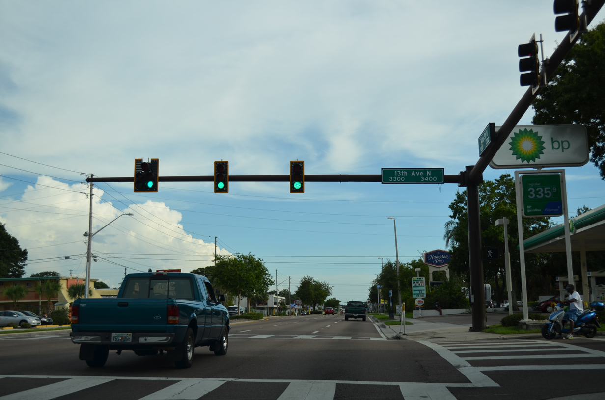
| 13th Avenue North passes south of Emerald Lake and below I-275 east to Woodlawn Park and the Euclid-St. Paul neighborhood. 08/24/13 |
|
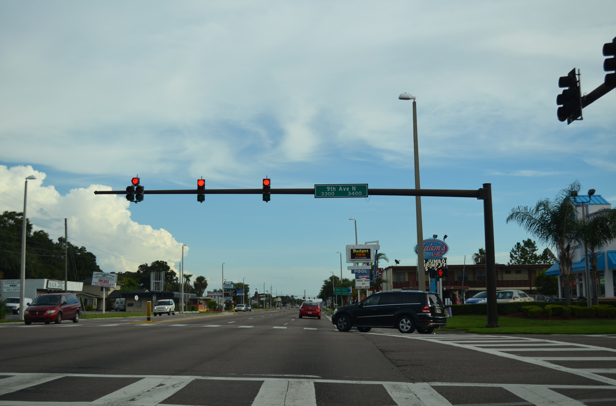
| 9th Avenue North emerges from the Central Park neighborhood west of U.S. 19 (34th Street North) to run between the North Kenwood and Historic Kenwood communities east to Historic Uptown beyond Interstate 275. 08/24/13 |
|
| Four blocks further south is the U.S. 19 junction with U.S. 19 Alternate & SR 595 (5th Avenue North). SR 595 is the hidden designation for all of U.S. 19A. It is well signed in St. Petersburg along 5th Avenue North leading from Tyrone Boulevard to the eastern terminus of U.S. 92 at 4th Street North. 08/24/13 |
|
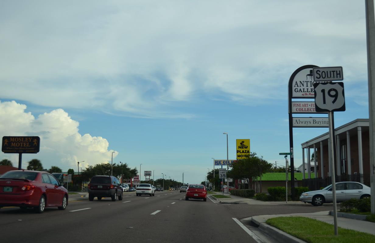
| Signs posted along U.S. 19 (34th Street North) at 5th Avenue North reference U.S. 19 Alternate as running north only. The designation however extends east all the way to U.S. 92 on the outskirts of Downtown St. Petersburg.
Routed almost entirely within Pinellas County, U.S. 19A represents the pre-1953 alignment of U.S. 19 south from New Port Richey to Tarpon Springs, Palm Harbor, Dunedin, Clearwater, Largo and Seminole. 08/24/13 |
|
| This reassurance marker for U.S. 19 south stands just beyond the intersection with U.S. 19A & SR 595 along 34th Street North. 08/24/13 |
|
| Central Avenue (CR 150) delineates the separation of north south streets and avenues in St. Petersburg. The four lane boulevard extends west from St. Petersburg across Boca Ciega Bay as Treasure Island Causeway to 107th Avenue in Treasure Island. East from U.S. 19, Central Avenue provides a gateway into the heart of Downtown. 08/24/13 |
|
| 1st Avenue South flows east with three to four lanes as an alternate route to Central Avenue (CR 150) from South Pasadena and the Gulf Beaches to Downtown. 08/24/13 |
|
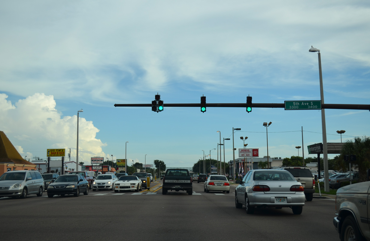
| 5th Avenue South leads west to Fairmont and Westminster Heights and east to Palmetto Park from U.S. 19 (34th Street South). 08/24/13 |
|
| A U.S. 19 reassurance marker stands ahead of the Pinellas Trail overpass. 08/24/13 |
|
| 11th Avenue South serves adjacent Gibbs High School and Pinellas Technical Education Center west in Childs Park. 08/24/13 |
|
| South at the signalized intersection with 15th Avenue South. 15th Avenue South is discontinuous due to Interstate 275, but the street does lead west to Childs Park and Gulfport Boulevard (CR 138) in Gulfport. 08/24/13 |
|
| Advancing southward, drivers see this reassurance assembly after 15th Avenue South. 08/24/13 |
|
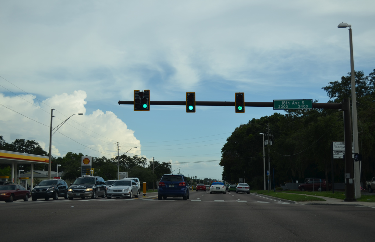
| 18th Avenue South leads east from U.S. 19 (34th Street South) into Jordan Park and Midtown of south St. Petersburg. 08/24/13 |
|
| Interstate 275 arcs southwest from central St. Petersburg to run just east of U.S. 19. 22nd Avenue South links U.S. 19 with the adjacent freeway northbound at Exit 19.
CR 138 otherwise travels west along 22nd Avenue through Gulfport to South Pasadena and SR 693 (Pasadena Avenue). The route is the last toll free way to the Gulf Beaches from the north. 08/24/13 |
|
| U.S. 19 shield posted after 22nd Avenue South (CR 138). 08/24/13 |
|
| Access to Interstate 275 south from U.S. 19 is available from the half diamond interchange with 26th Avenue South. 08/24/13 |
|
| 26th Avenue South continues east from I-275 to Highland Oaks, Lake Maggiore and Harbordale in south St. Petersburg. 08/24/13 |
|
| 38th Avenue South leads west to Broadwater Place on Boca Ciega Bay and east to 31st Street South opposite Interstate 275. 01/02/07 |
|
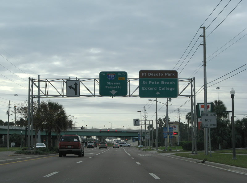
| Approaching 54th Avenue South and the U.S. 19 merge with Interstate 275 on 34th Street South. SR 682 begins here and heads west 3.82 miles to St. Pete Beach. 01/02/07 |
|
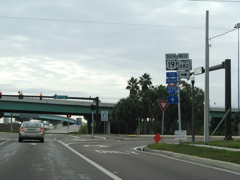
| U.S. 19 combines with Interstate 275 south beyond Pinellas Point to cross Tampa Bay on the Sunshine Skyway Bridge. 54th Avenue South meanwhile leads west to Eckerd College and the tolled Pinellas Bayway.
Pinellas Bayway South (SR 679) spurs from Tierra Verde to Ft. DeSoto Park midway along SR 682. 01/02/07 |
|
| The roadways of Interstate 275 switch sides to accommodate adjacent ramps with both 54th Avenue South and U.S. 19 (34th Street South). 01/02/07 |
|
| SR 682 (Pinellas Bayway) spans both Boca Ciega Channel and the Intracoastal Waterway as part of a 3.82 mile route to SR 699 (Gulf Boulevard) north of Pass-A-Grille. 01/02/07 |
|
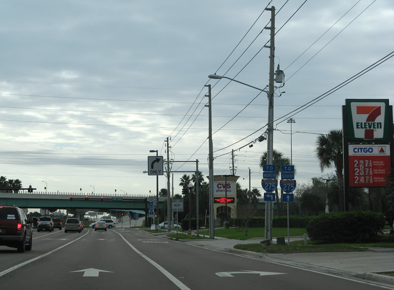
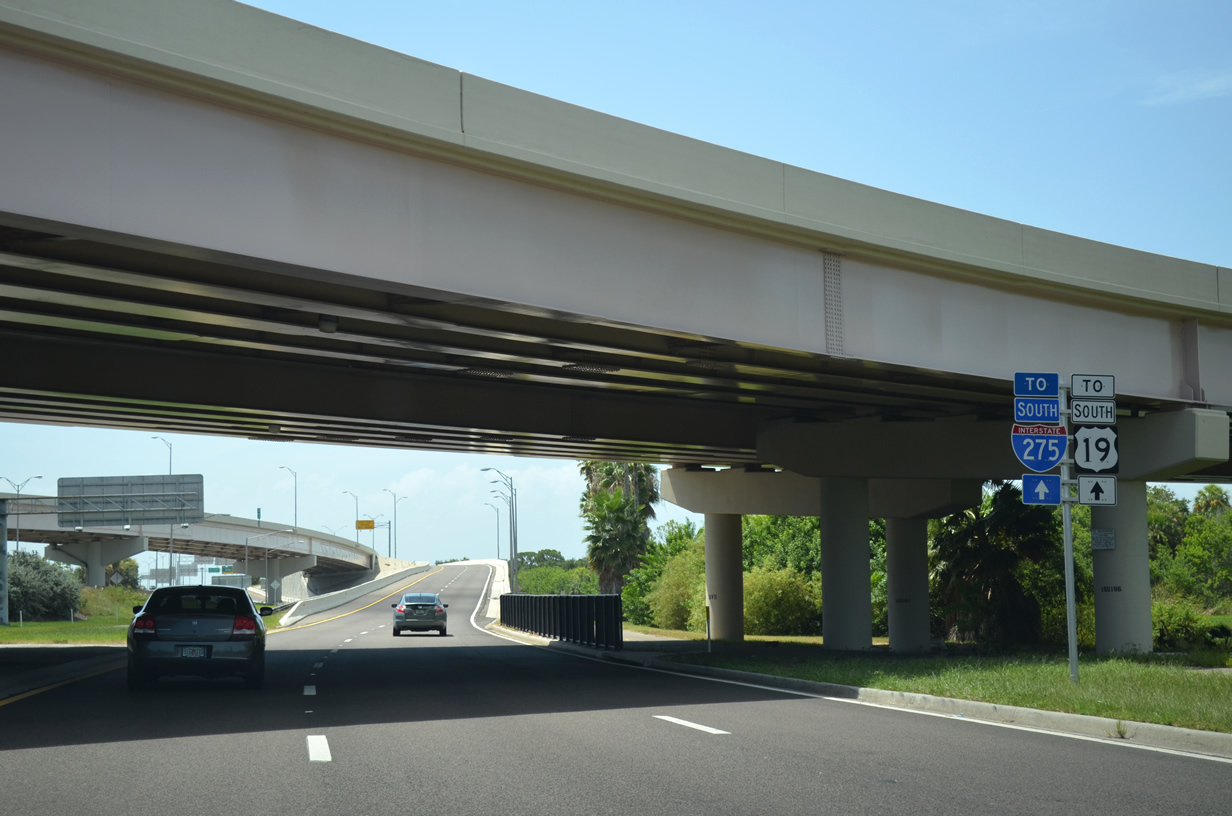
| While still along the U.S. 19 southbound mainline, the ramp from 54th Avenue South and 34th Street South references "TO U.S. 19." The two routes combine at a wye interchange at Frenchman's Creek east of Maximo Park. 08/30/14 |
|
| U.S. 19 and I-275 rise across the Dick Misener Bridge over a spur of the Intracoastal Waterway ahead of the Sunshine Skyway toll plaza. 08/30/14 |
|
| U.S. 19 and I-275 southbound at the Sunshine Skyway toll plaza. 08/05/14 |
|
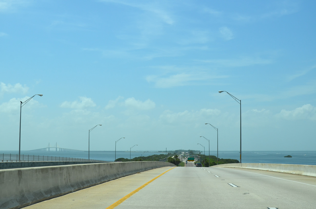
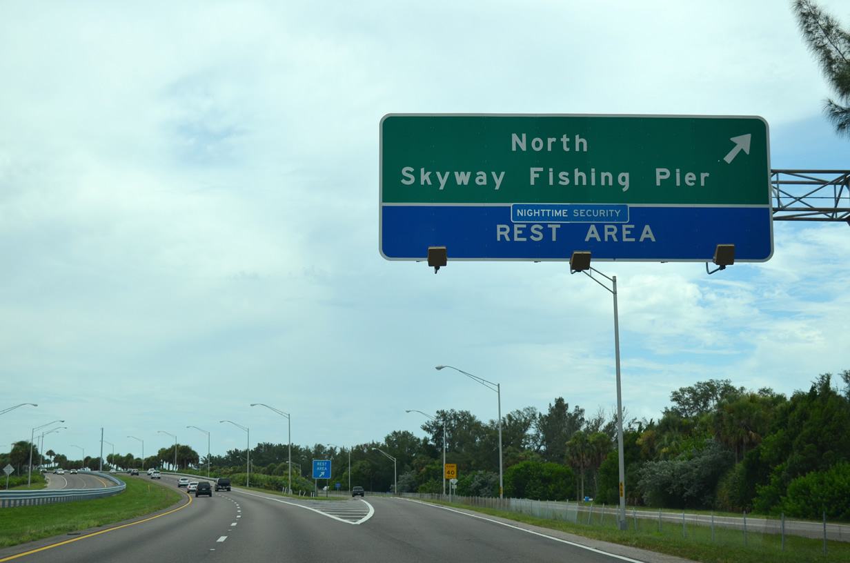
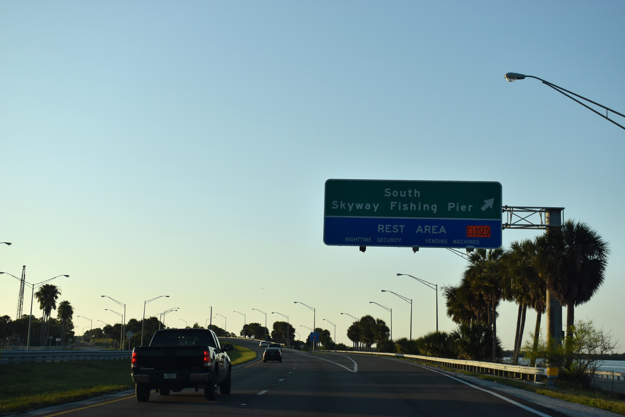
| A diamond interchange connects U.S. 19 and I-275 with the North Skyway West Area and Fishing Pier. The fishing pier represents a portion of the original Skyway Bridge. 08/24/13, 08/05/14 |
|
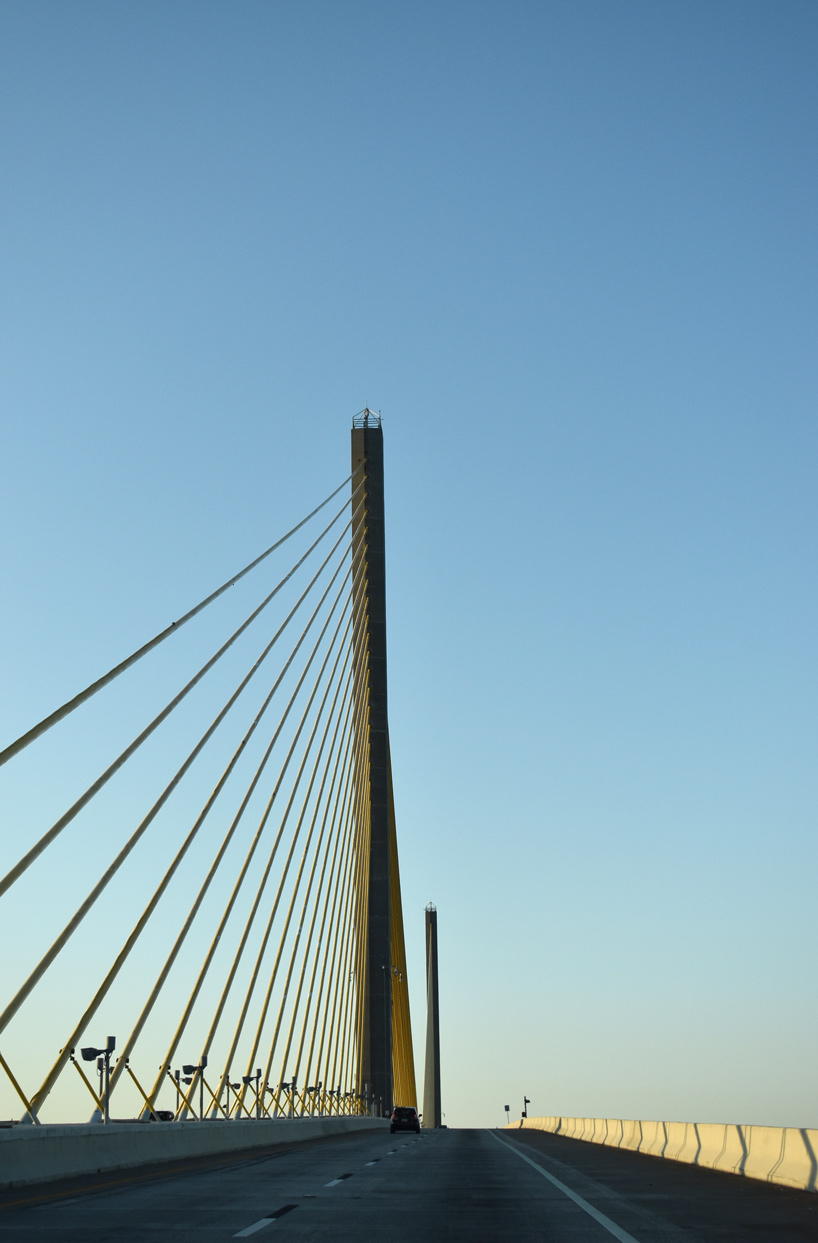
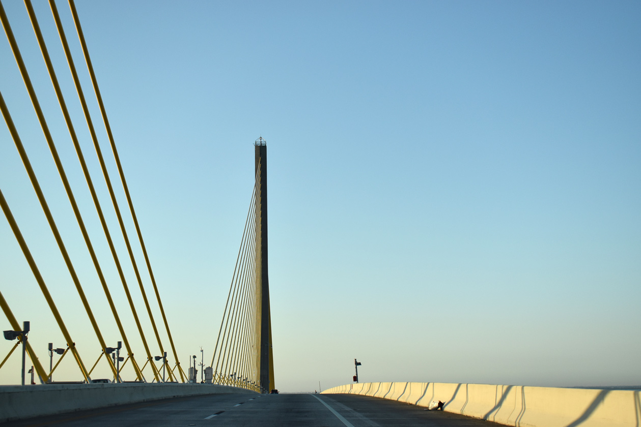
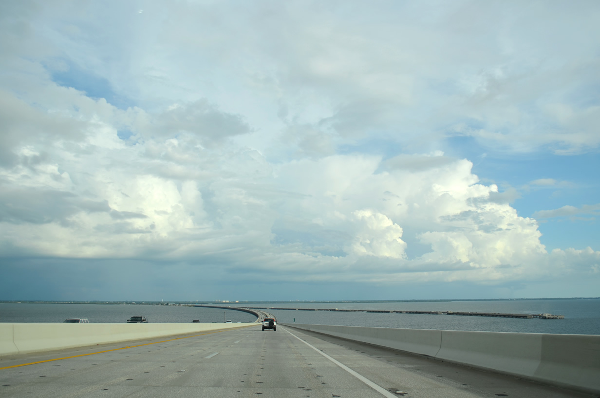
| Crossing the Sunshine Skyway along U.S. 19 and I-275 south. The cable stayed bridge extends 4.1 miles across open waters of Tampa Bay. 08/05/14, 05/18/19, 10/08/16 |
|
| The Sunshine Skyway ascends to 193 feet above the main shipping channel for Tampa Bay. Two 435 foot high towers support the bridge deck with 42 cables. 05/18/19, 08/24/13 |
|
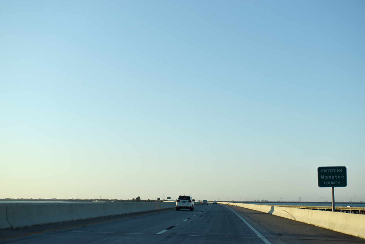
| The final 5.89 miles of U.S. 19 southbound extends into Manatee County from the Sunshine Skyway onto Terra Ceia Island. 05/18/19 |
|
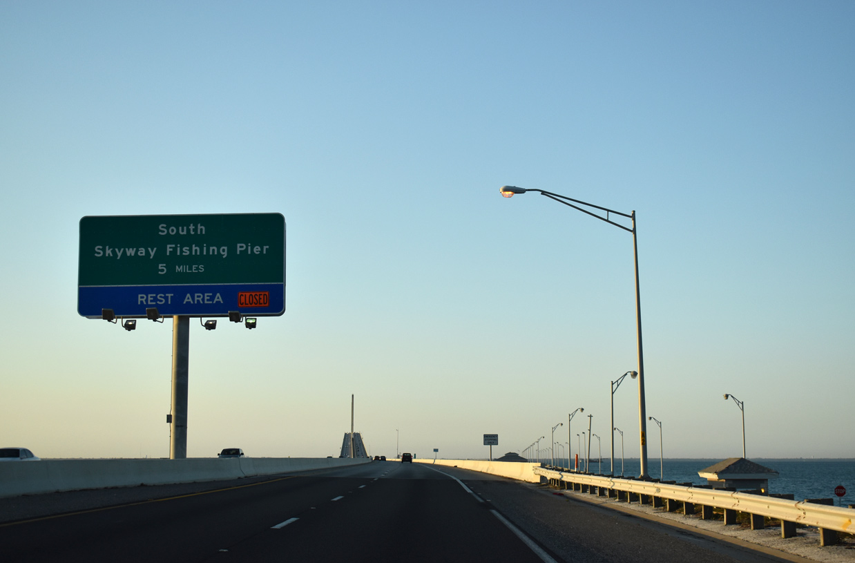
| A diamond interchange joins U.S. 19 and I-275 with the South Skyway Fishing Pier and adjacent rest area west of Joe Bay and Paradise Island. 05/18/19 |
|
| U.S. 19 splits with Interstate 275 at Terra Ceia and drops southward across Terra Ceia Bay toward Memphis. 05/18/19 |
|
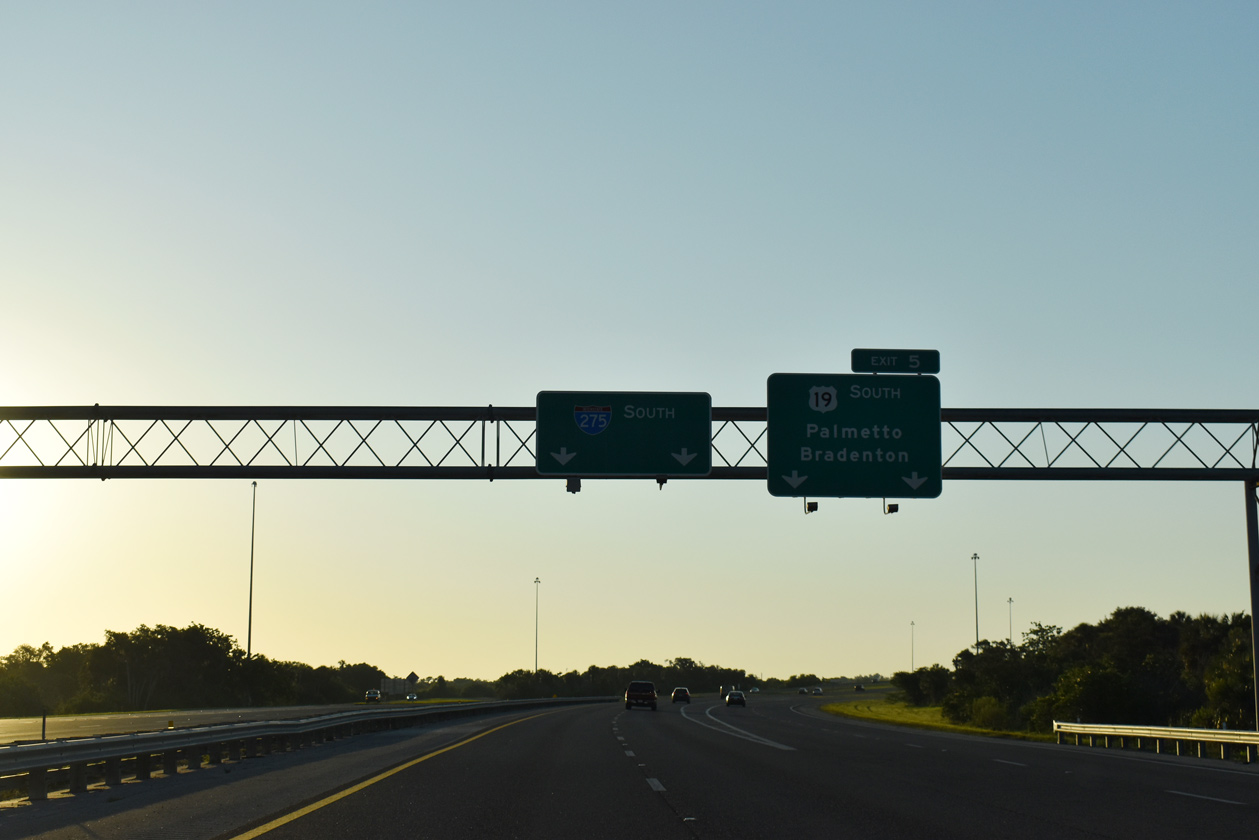
| Interstate 275 continues east to U.S. 41 near Rubonia and Interstate 75. U.S. 19 converges with U.S. 41 north of Palmetto and Bradenton in three miles. 05/18/19 |
|
| An erroneous SR 19 shield was erected at the split with Interstate 275 south (Exit 5) for a short period of time during spring 2014. It was replaced by summer 2014. 05/12/14 |
|
| Heading south from the wye interchange with I-275, U.S. 19 travels from Terra Ceia to a causeway across Tierra Ceia bay at Sea Breeze Point. 11/12/16 |
|
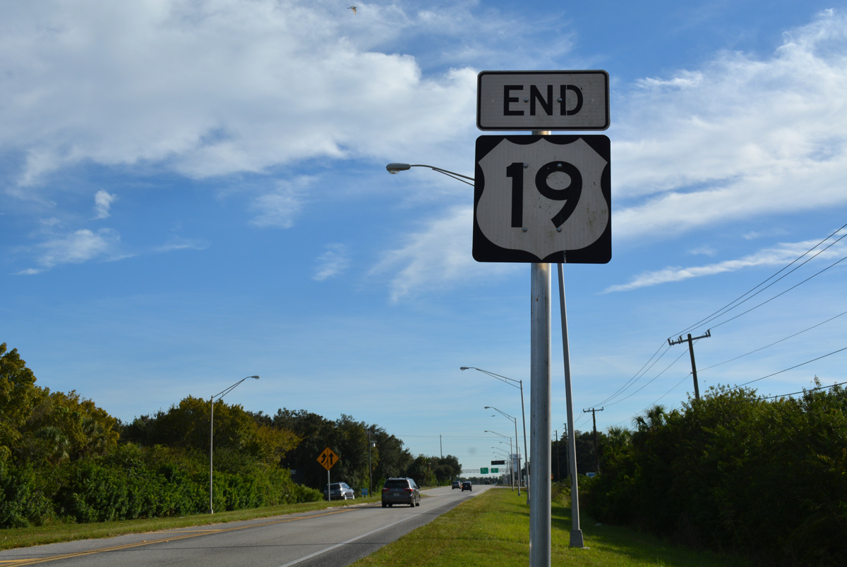
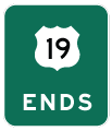
| U.S. 19 south defaults onto U.S. 41 south beyond this end shield assembly posted at Memphis. A U-turn ramp provides access back north on U.S. 41 toward Rubonia while U.S. 41 south quickly splits with the U.S. 41 Business into Palmetto. 05/06/14, 11/12/16 |
01/02/07, 07/04/08, 08/24/13, 05/06/14, 05/12/14, 08/05/14, 08/30/14, 03/22/16, 10/08/16, 11/12/16, 05/18/19 by AARoads
Page Updated 05-20-2019.

 South
South