|
| Upon crossing the boundary into Porter County, U.S. 30 is only six miles from the junction with SR 49 near the city of Valparaiso. A Norfolk Southern Railroad line continues to parallel on the south side. 03/24/11 |
|
| U.S. 30 enters the Valparaiso area at the one mile approach to SR 49 and SR 2 east. SR 49 totals 44 miles from SR 10 in Jasper County to Indiana Dunes State Park, passing through Wheatland, Kouts, Valparaiso and Chesterton along the way. 03/24/11 |
|
| Before reaching the SR 49 and 2 east interchange, U.S. 30 intersects Industrial Drive, which serves a truck stop, the Montdale Industrial Park and the Porter County Regional Airport (VPZ). 03/24/11 |
|
| A three-quarter cloverleaf interchange joins U.S. 30 with SR 49 and SR 2 east in one half mile. SR 2 is an 81 mile route from the Illinois border west of U.S. 41 through Lowell, Hebron, Valparaiso, Westville and LaPorte to St. Joseph Valley Parkway (U.S. 20/31). SR 2 combines with SR 49 for 1.3 miles to the next exit (LaPorte Avenue). 03/24/11 |
|
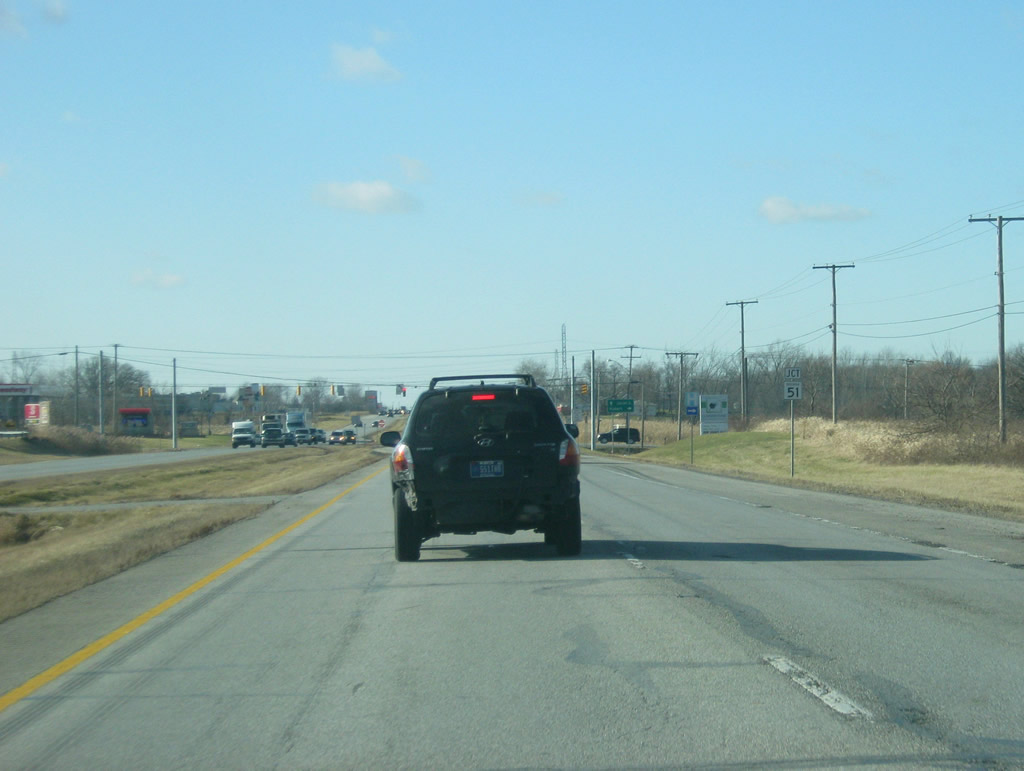
| Travelers bound for SR 2 east & 49 north depart U.S. 30 west. SR 49 comprises a four lane expressway that heads north toward the town of Chesterton and the Indiana Toll Road (I-80/90) along with Interstate 94. Traffic bound for the Chicago area should use SR 49 north to one of those interstates to bypass the increased congestion along U.S. 30 from Valparaiso west to Interstate 65 in Merrillville. 03/24/11 |
|
| A loop ramp takes travelers from U.S 30 west onto SR 49 south, which consists of a two lane highway that goes for 9.3 miles to the town of Kouts in southeastern Porter County. 03/24/11 |
|
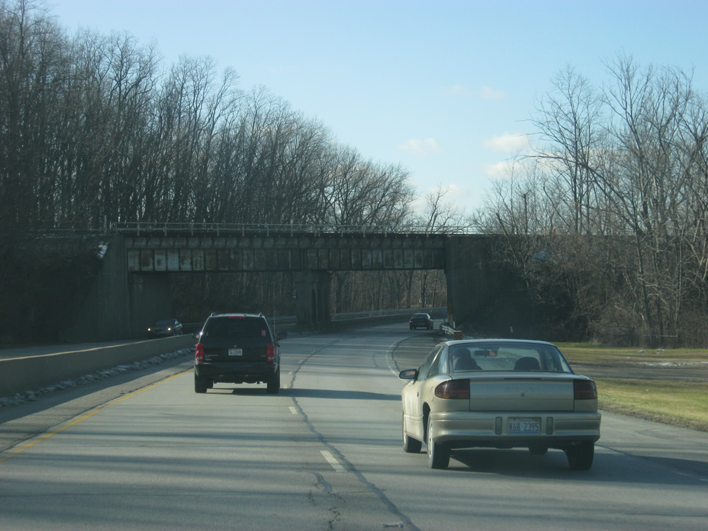
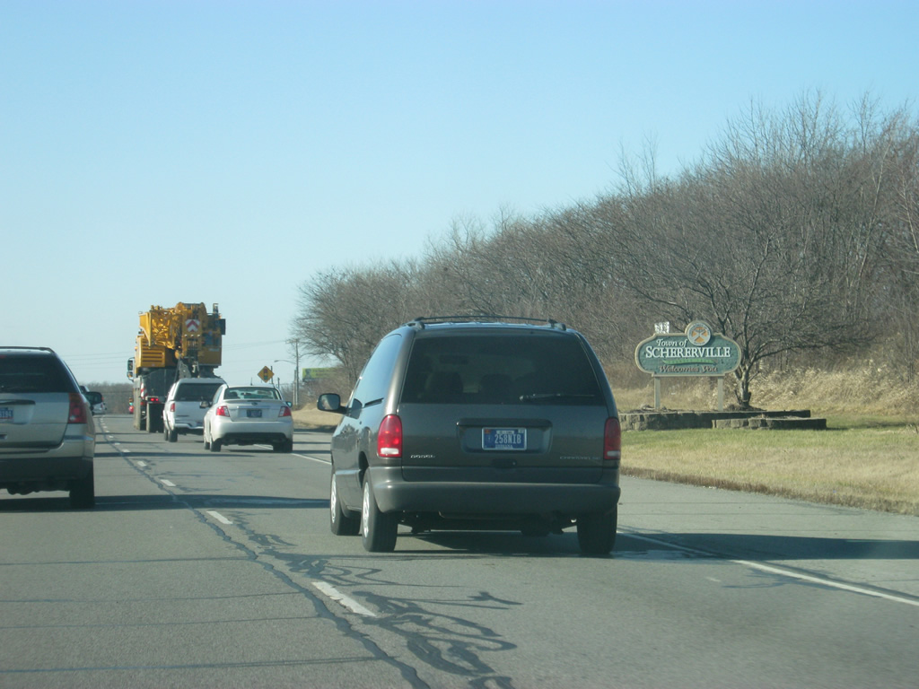
| Reassurance shields for both U.S. 30 and SR 2 west greet motorists west of SR 49 as the four lane highway, called Morthland Drive, enters the Porter County seat of Valparaiso (population 31,730). Up ahead is the stoplight with Strongbow Centre Drive, which connects to Silhavy Road (which in turn leads to several shopping centers around the southeast side of Valparaiso. 03/24/11 |
|
| West of the Strongbow Centre Drive intersection, U.S. 30 & SR 2 west near the junction with former SR 130 north (Sturdy Road). SR 130 traveled 13.5 miles from U.S. 30 northwest through Valparaiso and on toward Hobart where it ended at U.S. 6 & SR 51. In 2012, SR 130 within Valparaiso's limits was decommissioned with maintenance of the roadway returned to Valparaiso. Eventually, the whole state road will be returned to local governments.1 03/24/11 |
|
| Now at the intersection with Sturdy Road (former SR 130) and County Road 150 East. Sturdy Road heads north past the main entrance to Valparaiso University to a roundabout intersection with Lincolnway and LaPorte Avenue. Lincolnway continued the routing of SR 130 through Downtown Valparaiso. 03/24/11 |
|
| West of the junction with Sturdy Road, U.S. 30 passes underneath a pair of overpasses carrying the CSX and Norfolk Southern railroads. 03/24/11 |
|
| SR 2 parts ways with U.S. 30 west at Washington Street for the 13 mile course to Hebron in the southwestern corner of Porter County. 03/24/11 |
|
| Washington Street heads north from U.S. 30 (Morthland Drive) and SR 2 into Downtown Valparaiso. The street used to carry SR 2 through Valparaiso, where it would follow former SR 130 (Lincolnway) east toward LaPorte Avenue and east out of town. 03/24/11 |
|
| A view of U.S. 30 (Morthland Drive) to the west of SR 2 west and Washington Street north. The next mile of the four lane highway is lined with shopping centers and businesses ahead of the Valparaiso city line. 03/24/11 |
|
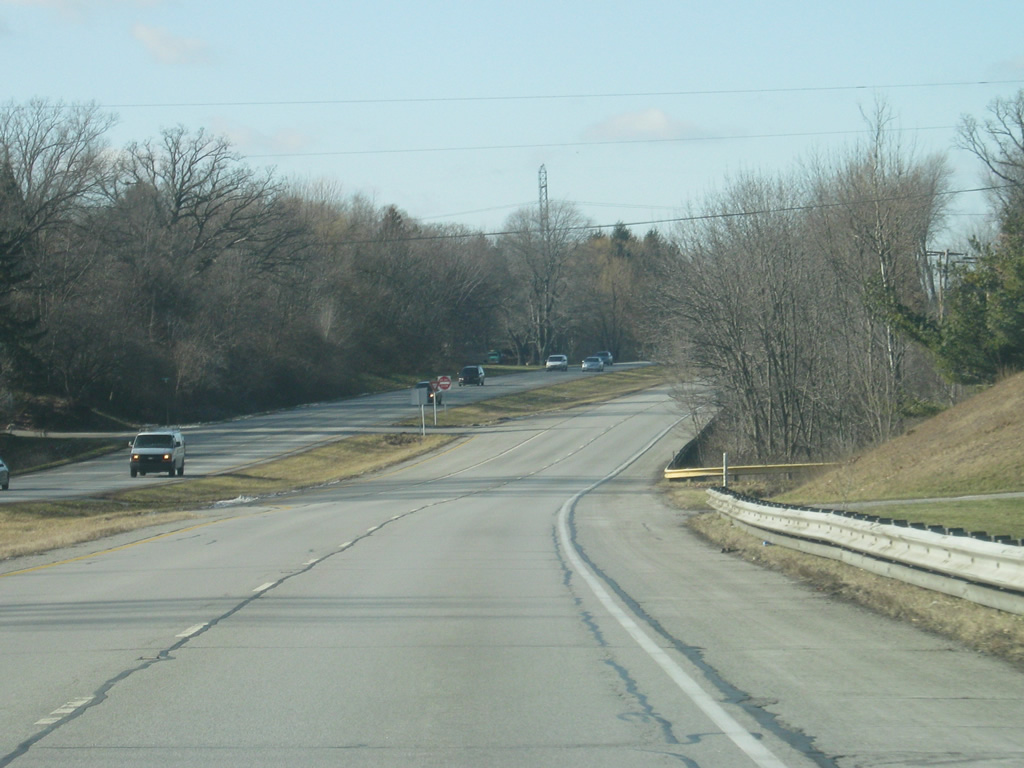
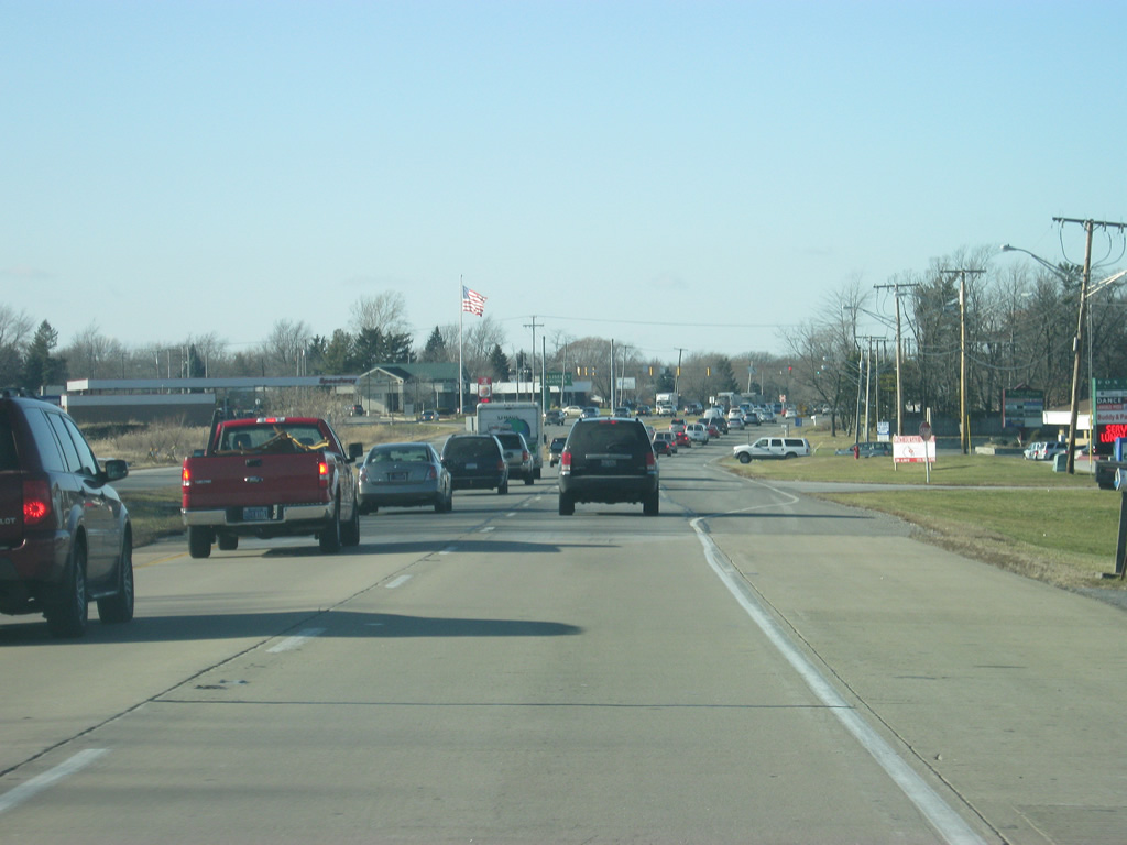
| Scenes of U.S. 30 to the west of Valparaiso as it makes its way toward Merrillville. U.S. 30 becomes an important commuter route for those in the Valparaiso area westward into Lake County and Chicago, Illinois. Because of the increased traffic along this route, most of the county highways that cross U.S. 30 have stoplights at their intersections. 03/24/11 |
|
| U.S. 30 at the intersection with County Road 500 West, which leads south to Lake Eliza. 03/24/11 |
|
| The next stoplight along U.S. 30 is with County Road 600 West, which leads north to the Union Township schools. 03/24/11 |
|
| Views of U.S. 30 to the west of County Road 600 West as the highway continues toward the Lake County line. The four lane highway crosses the Deep River along this stretch. 03/24/11 |
|
| U.S. 30 reaches its final county in Indiana, Lake County (population 496,005). By crossing into Lake County, U.S. 30 briefly enters the town of Merrillville, but will head west into the town of Hobart before returning to Merrillville near Interstate 65. 03/24/11 |
|
| Upon entering Lake County, the first of many stoplight intersections along U.S. 30 is with Randolph Street, which heads south to the communities of Lakes of the Four Seasons and Winfield. 03/24/11 |
|
| West of the Randolph Street intersection, U.S. 30 enters the city of Hobart (population 20,059). Pronounced Ho-bert, Hobart contains most of the major shopping centers, include the Westfield Southlake Mall along U.S. 30, that serve the whole Northwest Indiana region. Most people believe the centers to be located in Merrillville, but they actually reside within Hobert; Merrillville exists a mile to the south of U.S. 30 as part of the annexation of Ross Township. 03/24/11 |
|
| Up ahead, U.S. 30 nears the intersection with SR 51 (Grand Boulevard). SR 51 is a short, 9.6 mile highway that goes from U.S. 30 north to the Borman Expressway (I-80-94/U.S. 6) before ending at U.S. 20 (Milton Road) in Lake Station. 03/24/11 |
|
| SR 51 north (Grand Boulevard) heads to Downtown Hobart en route to its northern terminus at U.S. 20 (Milton Road). Joliet, Illinois, 44 miles to the west, remains the control city for westbound U.S. 30 through traffic. 03/24/11 |
|
| Downtown Hobart is about four miles to the north from U.S. 30 via SR 51 (Grand Boulevard). Grand Boulevard continues south of the US Route to Deer Creek. 03/24/11 |
|
| A U.S. 30 reassurance shield greets westbound travelers amid a wave of prairie grass beyond SR 51 north (Grand Boulevard). The prairies of Illinois spill over into the Northwest Indiana region and can be found along U.S. 30 from as far east as Starke County. 03/24/11 |
|
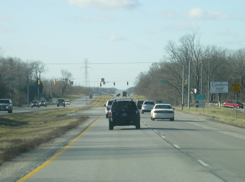
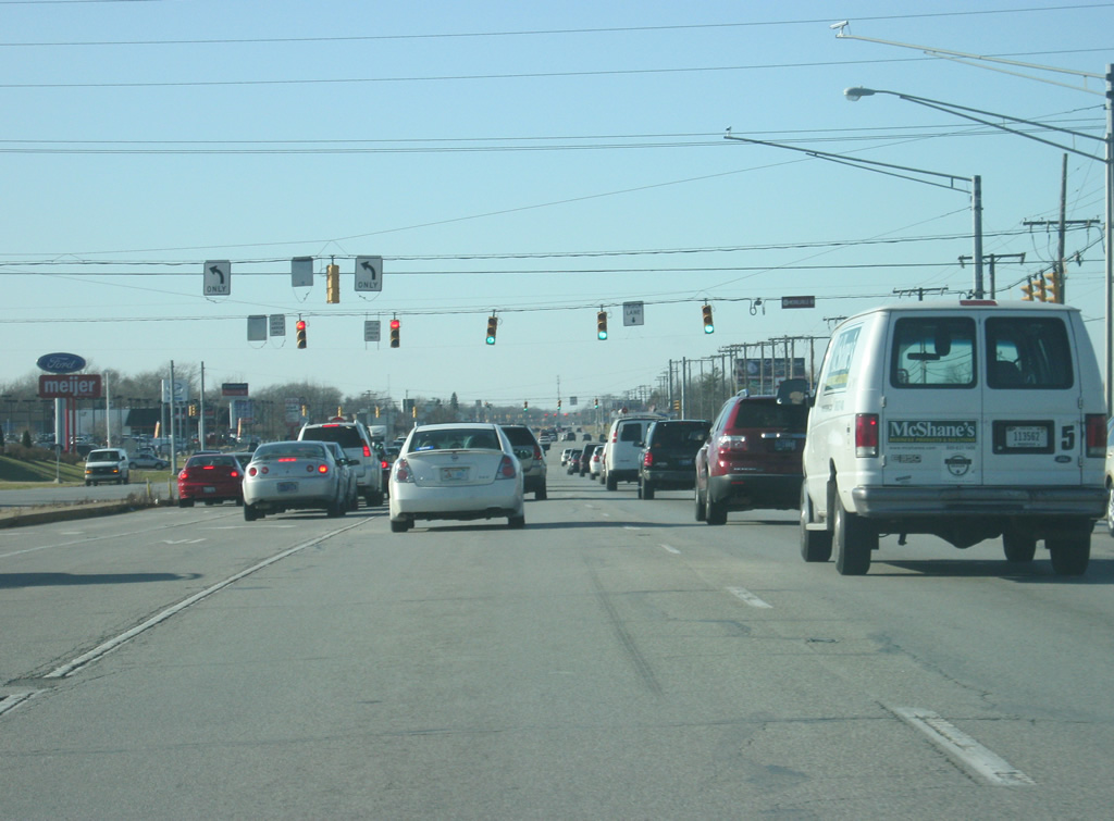
| A set of traffic lights govern the movements between U.S. 30 and Clay Street. New shopping centers herald the transition from a suburban-rural four lane highway into a busy commercial corridor that stretches west across Interstate 65. 03/24/11 |
|
| U.S. 30 expands to six lanes as it nears the intersection with Colorado Street. We are now at the one mile approach with Interstate 65, the first interstate highway U.S. 30 meets since Fort Wayne. Interstate 65 goes for 887.3 miles from Gary, Indiana south through Indianapolis, Louisville, Nashville, Birmingham, Montgomery and finally Mobile, Alabama, ending at Interstate 10 along the Gulf Coast. 03/24/11 |
|
| Assorted retail, restaurants and other businesses surround the U.S. 30 corridor as we near the interchange with Interstate 65. Three stoplights serve entrances to adjacent Westfield Southlake Mall along this portion of highway. 03/24/11 |
|
| U.S. 30 is now at the last intersection (Mississippi Street) before the six-ramp parclo interchange with Interstate 65. A variety of motorists' services reside adjacent to the crossroads to serve traffic along both routes. The interchange was rebuilt in the late 1990s as part of a reconstruction of Interstate 65 from U.S. 231 in Crown Point to the Borman Expressway (I-80-94/U.S. 6). 03/24/11 |
|
| U.S. 30 widens to five lanes going west as the right two lanes exit off onto Interstate 65. This is the widest that U.S. 30 gets in the state of Indiana.
Upon crossing Mississippi Street, U.S. 30 enters the town of Merrillville (population 35,246). 03/24/11 |
|
| The far right lane heads north for the final nine miles of northbound Interstate 65 en route to the Borman Expressway (I-80-94/U.S. 6) and the Indiana Toll Road (Interstate 90). Both highways take motorists into the Chicago area.
A loop ramp follows and takes motorists onto southbound Interstate 65 toward Crown Point, Rensellaer, Lafayette, Lebanon and the capital city of Indianapolis. 03/24/11 |
|
| The sign welcomes westbound U.S. 30 travelers into Merrillville west of the Interstate 65 interchange. From this point westward, U.S. 30 is given the name of Lincoln Highway all the way to the Illinois border. 03/24/11 |
|
| U.S. 30 (Lincoln Highway) next approaches the intersection with Rhode Island Street, which serves various commercial and office parks that abut the west side of Interstate 65. The Star Plaza Theatre can be reached by taking Rhode Island Street to the north. 03/24/11 |
|
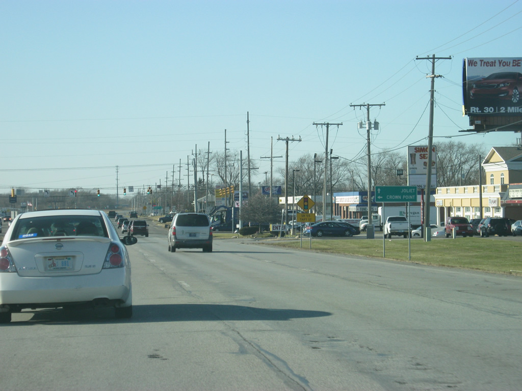
| Up ahead is the intersection with SR 53 (Broadway). SR 53 travels for 14 miles from U.S. 231 in Crown Point north through Merrillville, Calumet Township and Gary before ending at the Indiana Toll Road (Interstate 90). 03/24/11 |
|
| West of a signalized shopping center entrance is the junction of U.S. 30 and Merrillville Road. Merrillville Road originally was an old country road that connected Crown Point with Merrillville. 03/24/11 |
|
| West of the Merrillville Road intersection, the next stoplight along U.S. 30 (Lincoln Highway) serves a Meijer store and a north side frontage road (81st Avenue). 03/24/11 |
|
| U.S. 30 (Lincoln Highway) continues with six lanes and passes additional commercial businesses. A series of frontage roads serve those businesses along the busy arterial as U.S. 30 crosses paths with Grant Street. 03/24/11 |
|
| U.S. 30 (Lincoln Highway) proceeds west from Grant Street to SR 55 (Taft Street). 03/24/11 |
|
| SR 55 goes for 110 miles from Wingate at SR 25 north through Attica, Fowler and Crown Point before ending at Business U.S. 6 in Gary. The Lake County seat of Crown Point is only four miles to the south. 03/24/11 |
|
| Now at the junction between U.S. 30 (Lincoln Highway) and SR 55 (Taft Street). The Lake County government complex and courthouse is south along SR 55 (Taft Street) into Crown Point while the road to the north heads toward Gary. 03/24/11 |
|
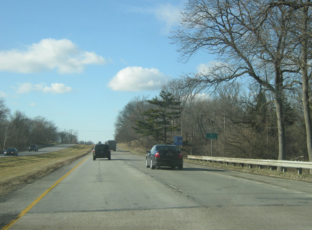
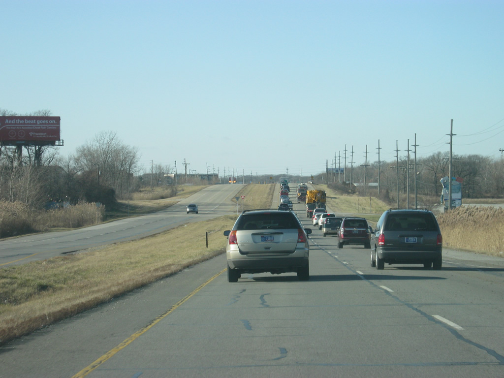
| West of the intersection with SR 55 (Taft Street), U.S. 30 (Lincoln Highway) is five miles from Schererville and 39 miles from Joliet, Illinois. 03/24/11 |
|
| West of the intersection with SR 55 (Taft Street), U.S. 30 (Lincoln Highway) reduces to four lanes while heading toward Schererville. 03/24/11 |
|
| U.S. 30 (Lincoln Highway) passes by the former Broadmoor Country Club golf course, which closed by 2007 and was redeveloped as a residential subdivision starting in 2008. 03/24/11 |
|
| U.S. 30 (Lincoln Highway) enters the town of Schererville (population 29,243). 03/24/11 |
|
| Continuing west along U.S. 30 (Lincoln Highway) in Schererville, we near the intersection with Cline Avenue, which heads north into the heart of Schererville and the town of Griffin via Broad Street. North of Griffin, Cline Avenue becomes the SR 912 freeway in Highland. 03/24/11 |
|
| West of Cline Avenue, U.S. 30 (Lincoln Highway) is now four miles from its final Indiana community of Dyer. Joliet, Illinois is 35 miles to the west. 03/24/11 |
|
| To the west of Cline Avenue, the next Schererville stoplight along U.S. 30 (Lincoln Highway) is with Austin Avenue. Austin Avenue is the best route into Downtown Schererville to the north of U.S. 30 (Lincoln Highway). 03/24/11 |
|
| U.S. 30 (Lincoln Highway) bypasses the original part of Schererville to the south on its western journey toward Dyer. Joliet Street represents old U.S. 30 through Downtown Schererville. 03/24/11 |
|
| West of the intersection with Joliet Street, U.S. 30 (Lincoln Highway) passes underneath an old overpass for the Norfolk Southern railroad track that follows U.S. 41 (Indianapolis Boulevard). 03/24/11 |
|
| The median of U.S. 30 (Lincoln Highway) disappears as the highway nears the intersection with U.S. 41 (Indianapolis Boulevard) at what Schererville calls the Crossroads of the Nation. To the north U.S. 41 goes through Highland and Hammond en route to Chicago. Southward a 55 mile trip awaits drivers bound for Kentland and a 150 mile trip to Terre Haute.
Going for 280 miles within the Hoosier State, U.S. 41 maintains four lane expressway standards, in conjunction with SR 63, from Northwest Indiana south through Terre Haute, Vincennes and Evansville, with the towns of Attica and Rockville served by a two lane portion of U.S. 41. Nationally, U.S. 41 goes for 2,000 miles from Copper Harbor, Michigan south to Miami, Florida. 03/24/11 |
|
| U.S. 30 (Lincoln Highway) is an undivided four lane highway for its final two miles in the state of Indiana beyond U.S. 41 (Indianapolis Boulevard). A distance sign in the distance announces that Dyer is only one mile away while the next community of Chicago Heights, Illinois is eight miles to the west. The stoplight up ahead is with Fountain Park Drive. 05/24/10 |
|
| U.S. 30 (Lincoln Highway) heads toward the intersection with St. John Road, at which point the highway leaves the town of Schererville. 05/24/10 |
|
| West of the intersection with St. John Road, U.S. 30 enters the town of Dyer (population 16,390). In Dyer, the highway takes the name of Joliet Street, continuing the name from the road that went through Downtown Schererville. 05/24/10 |
|
| U.S. 30 (Joliet Street) approaches the intersection with Great Lakes Drive. 05/24/10 |
|
| Up next along U.S. 30 (Joliet Street) is the intersection with Calumet Avenue, which heads north to serve the town of Munster before having an interchange with the Borman Expressway. North of the Borman Expressway (Interstates 80-04 & U.S. 6), Calumet Avenue carries U.S. 41 north through Hammond toward Chicago. 05/24/10 |
|
| U.S. 30 (Joliet Street) to the west of Calumet Avenue nears the heart of Dyer. The stretch of U.S. 30 (Joliet Street) across Dyer is called the "Ideal Section" of the old Lincoln Highway. Built from 1922 to 1923, the Ideal Section was considered a model example of how the Lincoln Highway should be built, with a concrete road surface, guardrails, side paths and a wide right-of-way. The Ideal Section of the Lincoln Highway continues to be used to this day along U.S. 30 (Joliet Street). 05/24/10 |
|
| A distance sign posted at Church Street in Dyer announces the distance along U.S. 30 west to Chicago Heights (six miles) and Joliet (30 miles) in Illinois. 05/24/10 |
|
| In the distance is St. Margret Mercy Hospital's South Campus, which is just over the state line from Illinois in Dyer. The hospital serves both Dyer and Schererville as well as the adjacent Illinois communities in southern Cook County. Past the hospital, U.S. 30 (Joliet Street) enters the state of Illinois and the village of Lynwood. 3.2 miles after the state line is the U.S. 30 interchange with the Illinois 394 freeway, which leads north to Interstate 94 (Bishop Ford Expressway) and Interstates 80 & 294 (Tri-State Tollway). 05/24/10 |
Page Updated 05-02-2013.

 West
West