|
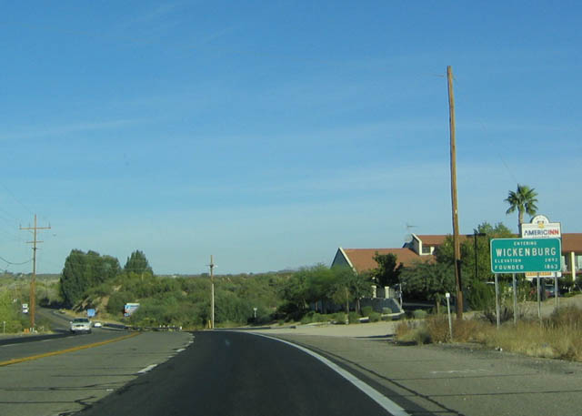
| Westbound U.S. 60 at the Wickenburg town limits. With Wickenburg around 5,000 residents, the community is located some 60 miles northwest of Phoenix in the Sonoran Desert. 10/24/03 |
|
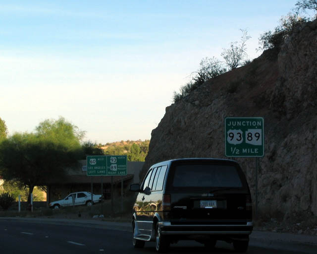
| Entering Wickenburg, U.S. 60 west approaches the southern
terminus of U.S. 93. U.S. 93 angles northwest toward Kingman
and Las Vegas, while U.S. 60 continues onward to meet
Interstate 10 east of Quartzsite. Interstate 10, in turn,
continues on the old alignment of U.S. 60 to reach Los
Angeles. 03/25/07 |
|
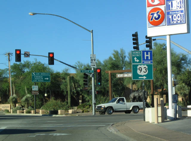
| The left lanes carry westbound U.S. 60, while the right
lane accesses U.S. 93 north (as noted by the signs). U.S.
93 follows Tegner Street north through the town. 03/03/07 |
|
| U.S. 93 north leads from Wickenburg to a junction with
SR 89 a few miles north of here. SR 89 is a
major route to Congress, Prescott, and Ash Fork, with
connections to Sedona, Oak Creek Canyon, and Flagstaff
via SR 89A. The section of U.S. 93 between U.S. 60
and SR 89 was part of U.S. 89 before that route was
truncated in 1989. 03/03/07 |
|
| Westbound U.S. 60 at U.S. 93 (Tegner Street) north. 03/03/07 |
|
| View of the U.S. 60 Wickenburg Subway looking west after
the U.S. 93/Tegner Street intersection. 03/03/07 |
|
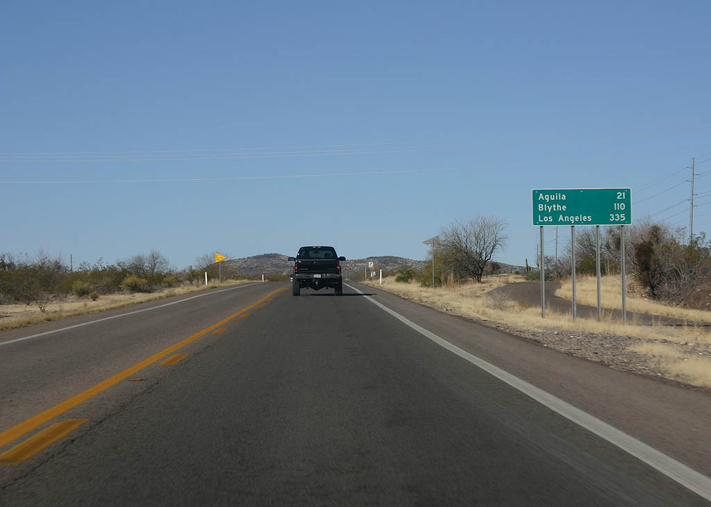
| Now west of Wickenburg, the next three control points
are Aguila (21 miles), Blythe (110 miles), and Los Angeles
(335 miles). Interestingly, only Aguila is on U.S. 60. 03/03/07 |
|
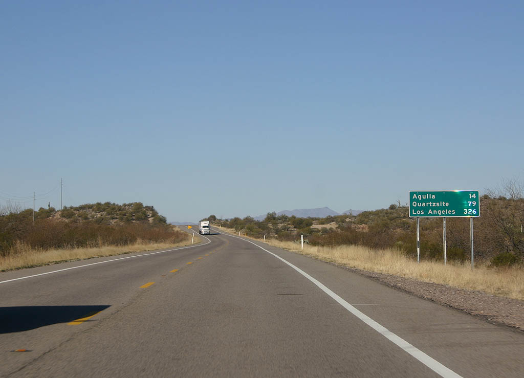
| Distance sign to Aguila (14 miles), Quartzsite (79 miles),
and Los Angeles (326 miles). As can be seen, U.S. 60 is
fairly desolate west of Wickenburg. 03/03/07 |
|
| U.S. 60 parallels the railroad tracks, and remains a two lane highway west of Wickenburg. 03/03/07 |
|
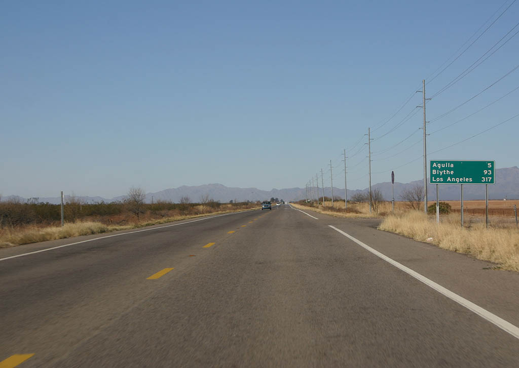
| Distance sign to Aguila (5 miles), Blythe (93 miles)
and Los Angeles (317 miles). 03/03/07 |
|
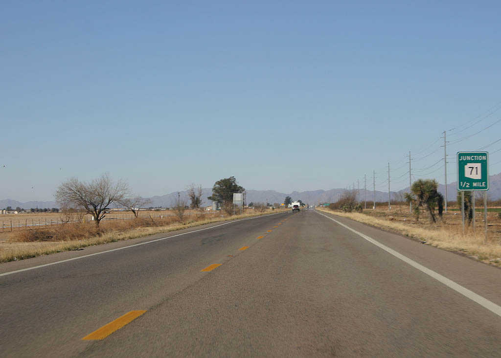
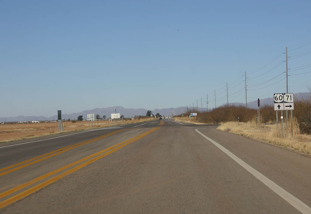
| Advance signage for SR 71, 1/2 mile. 03/03/07 |
|
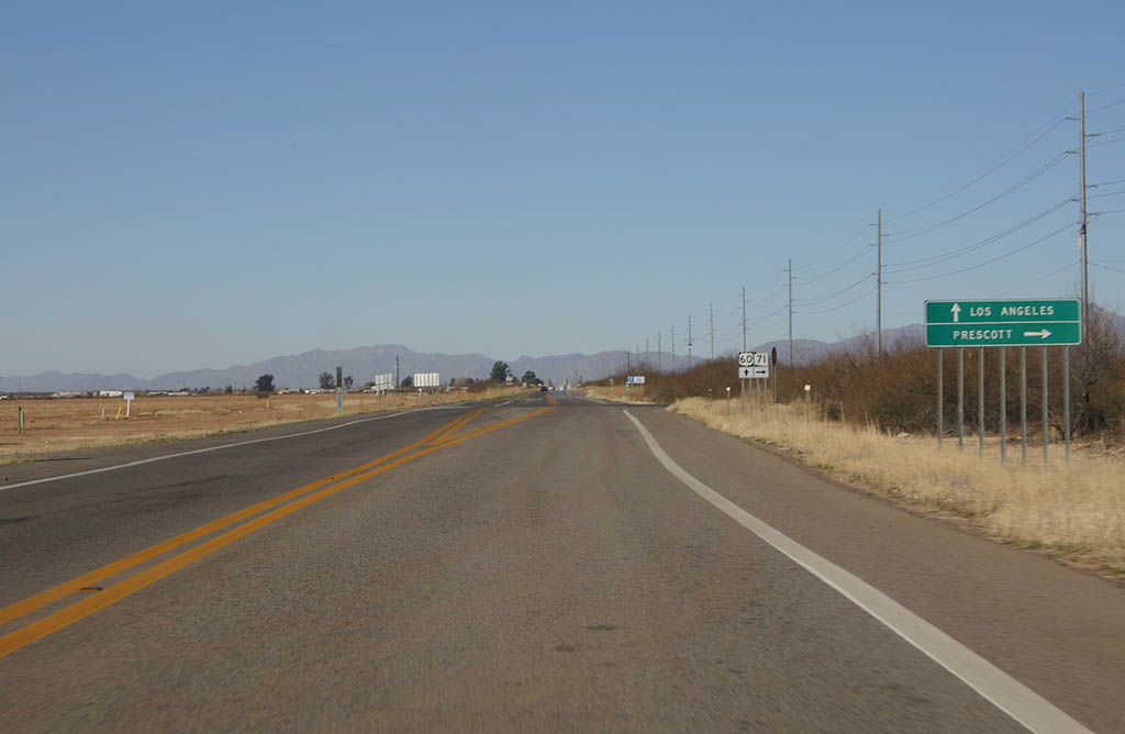
| Continue west on U.S. 60 to reach Los Angeles, or turn
right on SR 71 to Prescott. 03/03/07 |
|
| SR 71 connects U.S. 60 and SR 89. Before the
construction of SR 69 and Interstate 17, U.S. 89
to SR 71 was the preferred route to Los Angeles.
Today, this route is still a good route to avoid Phoenix. 03/03/07 |
|
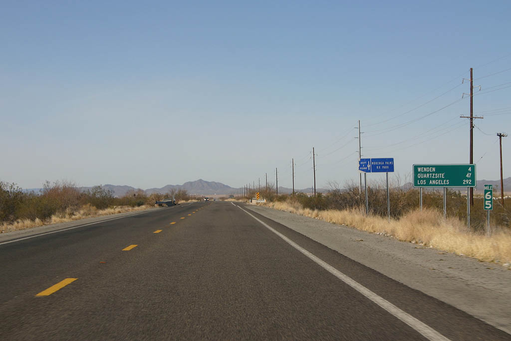
| Distance sign to Wenden (23 miles), Blythe (87 miles)
and Los Angeles (311 miles). 03/03/07 |
|
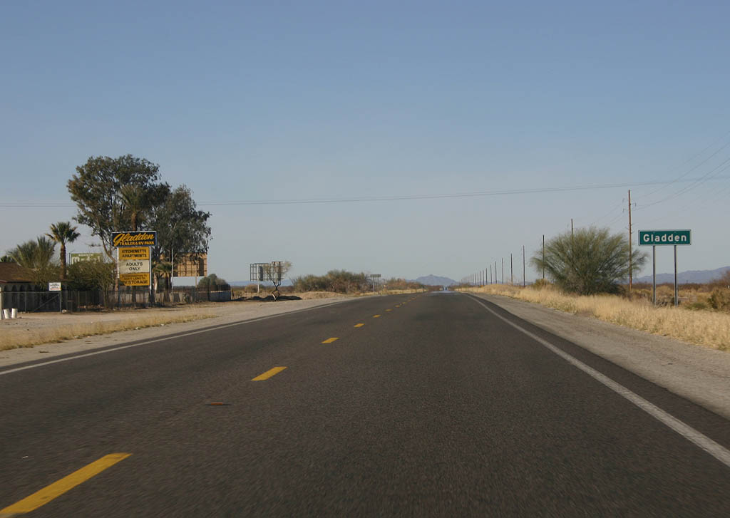
| U.S. 60 westbound meets the small settlement of Gladden
here. Gladden is essentially a trailer park, as seen on
the left. 03/03/07 |
|
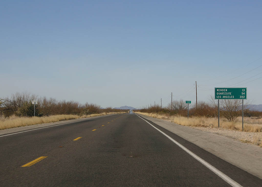
| Distance sign to Wenden (13 miles), Quartzsite (54 miles)
and Los Angeles (302 miles). Just west of this point,
U.S. 60 leaves Maricopa County and enters La Paz County. 03/03/07 |
|
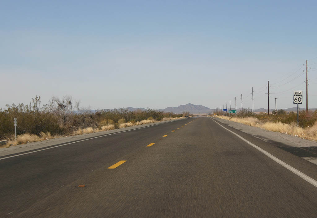
| U.S. 60 continues to travel west through wide valleys
on the way to Hope and Quartzsite. 03/03/07 |
|
| Distance sign to Wenden, Quartzsite, and Los Angeles. 03/03/07 |
|
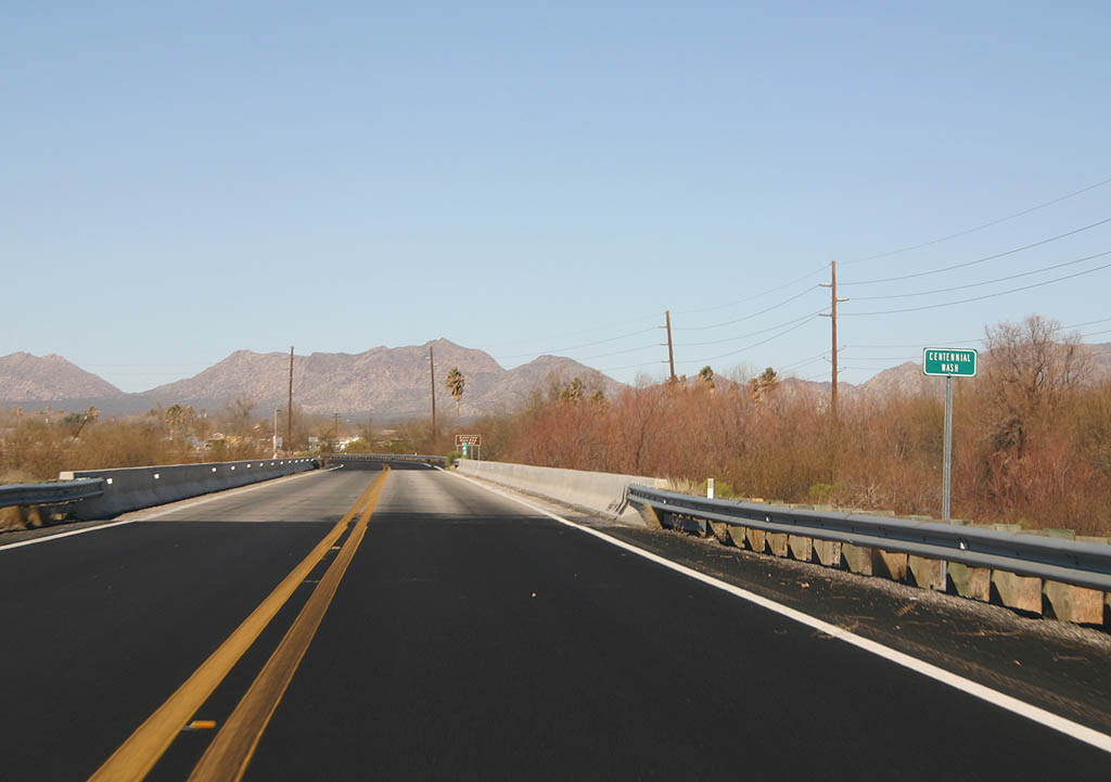
| U.S. 60 crosses Centennial Wash here. 03/03/07 |
|
| U.S. Highway 60 enters the town of Wenden here. 03/03/07 |
|
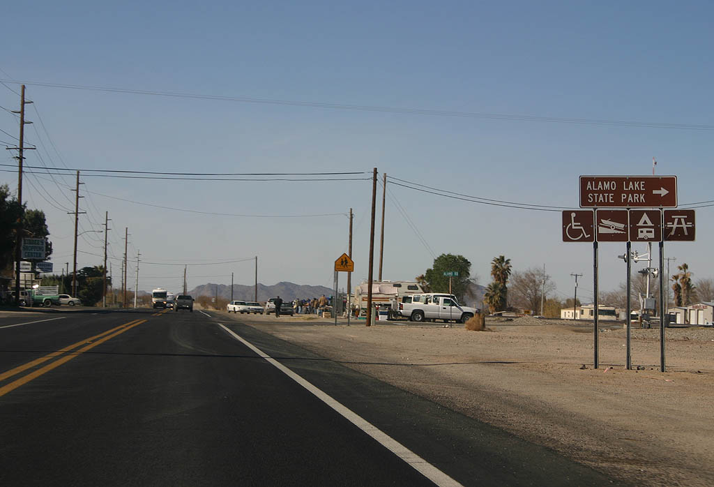
| U.S. Highway 60 at the turnoff to Alamo Lake State Park.
Alamo Lake is a man-made lake on the Bill Williams River. 03/03/07 |
|
| Now leaving Wenden, U.S. Highway 60 resumes a two lane
configuration. 03/03/07 |
|
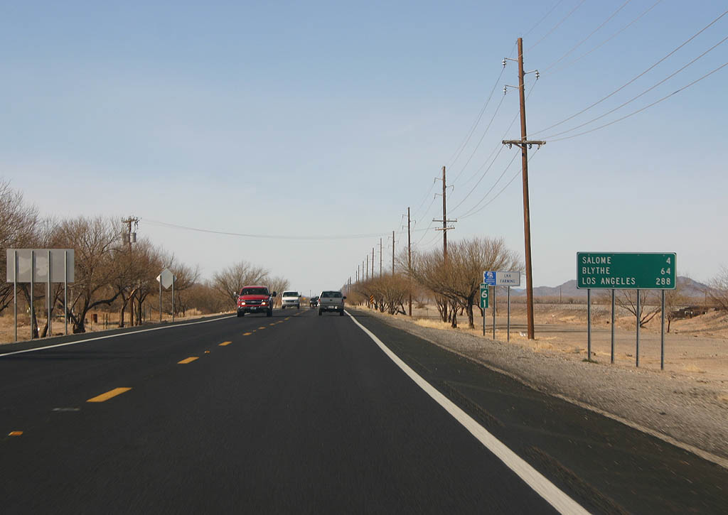
| Distance sign to Salome, Blythe and Los Angeles. 03/03/07 |
|
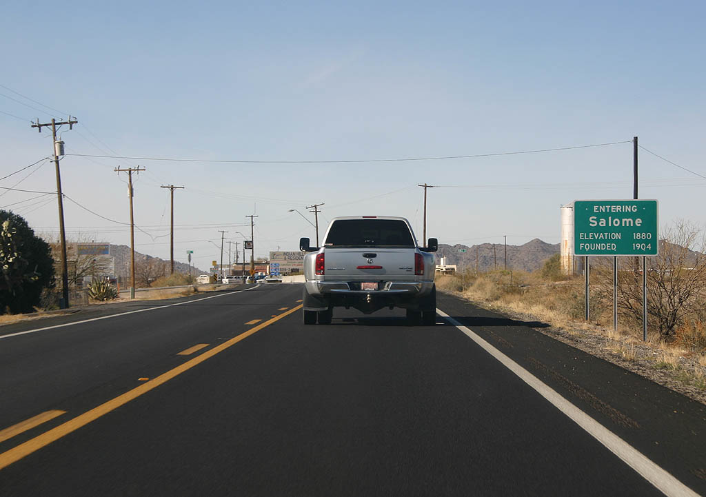
| U.S. Highway 60 enters the town of Salome here. 03/03/07 |
|
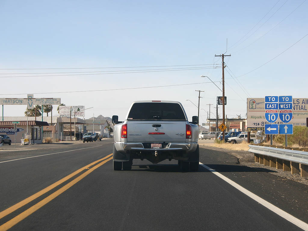
| U.S. Highway 60 meets Salome Road, which leads south
to Interstate 10. 03/03/07 |
|
| Salome is known as the home of comedy writer Dick Wick
Hall. Hall wrote about a frog who was 7 years old and
lived in the desert, so he had never seen water and could
not swim. The story is memorialized numerous places in
town. 03/03/07 |
|
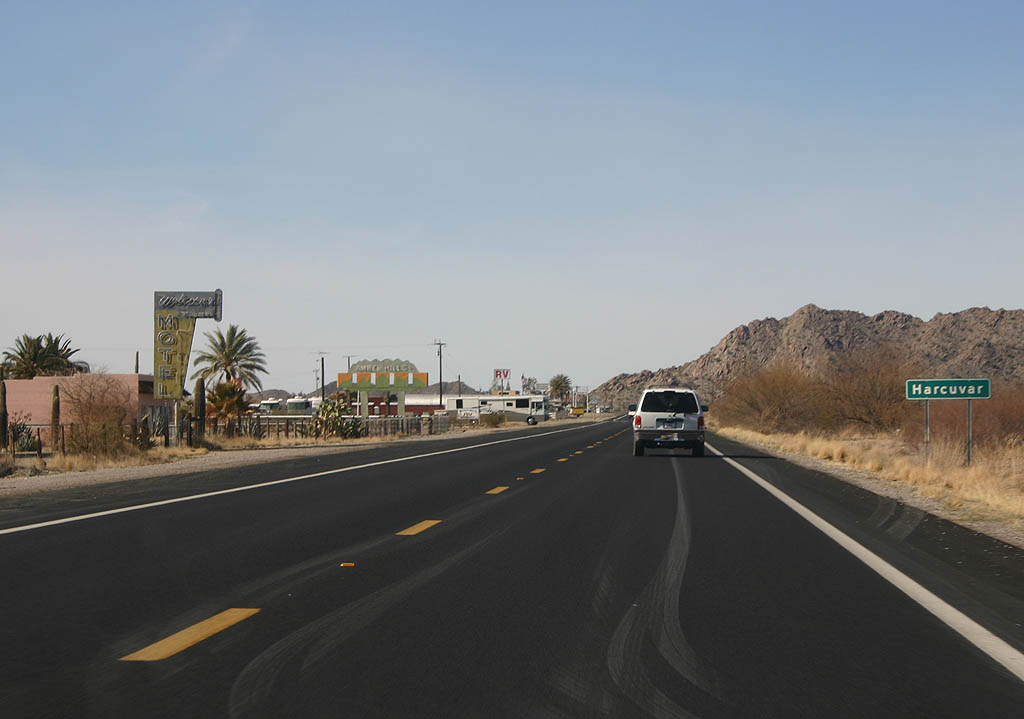
| U.S. Highway 60 passes through the settlement of Harcuvar
here. Not much remains of this former roadside town. 03/03/07 |
|
| U.S. Highway 60 passes through a low mountain pass west
of Harcuvar. 03/03/07 |
|
| An older alignment can be seen alongside U.S. Highway
60 through the pass. 03/03/07 |
|
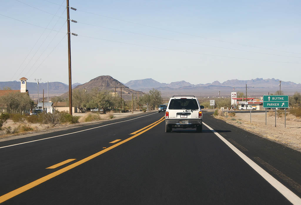
| Advance signage for SR 72 in the town of Hope. 03/03/07 |
|
| Use U.S. Highway 60 to reach Blythe, or SR 72 to
reach Parker. 03/03/07 |
|
| SR 72 splits from U.S. Highway 60 here. The intersection
was constructed when U.S. Highway 60 carried much more
traffic than it does now. 03/03/07 |
|
| Many miles to the west (through miles of rustic and
desolate desert west of Wickenburg), U.S. 60 comes to
its western end at its junction with Interstate 10 east
of Quartzsite. U.S. 60 used to continue all the way to
Los Angeles, California, but it was legislatively decommissioned
in 1964, and signs were removed as new sections of Interstate
10 were opened. The only remnant of U.S. 60 in California
is the SR 60 freeway in the Inland Empire and
East Los Angeles (Pomona Freeway). 05/25/03 |
Page Updated 09-26-2007.

 West
West