U.S. 71 travels a total of 298.46 miles through western reaches of the Natural State, from the subtle terrain in the southwest corner to the Boston and Ozark Mountains in the northwest. The U.S. highway serves to connect western cities of Arkansas including Texarkana, Ashdown, De Queen, Mena, Fort Smith and the Fayettevile-Springdale-Bentonville regional area.
U.S. 71 enters the state from Ida, Louisiana along a rural two lane route, meeting I-49 near Doddridge. The highway proceeds northward to Fouke and southern Texarkana, remaining close to I-49. In Texarkana, U.S. 71 initially advances northwest along East Street into the neighborhood street grid before Hickory Street continues U.S. 71 beyond Nix Creek to one way couplets with U.S. 67-82. Following W Martin Luther King Jr Boulevard (north) and W 7th Street (south), U.S. 71 joins U.S. 67-82 for six blocks through downtown before turning north onto State Line Avenue. Straddling the Arkansas-Texas border, U.S. 71 overlays N State Line Avenue along a commercialized arterial between downtown and I-30 in the northern part of the city. U.S. 59 joins U.S. 71 at the exchange with I-30, and the two proceed north along a four lane highway, briefly dipping into Texas ahead of the Red River crossing. Beyond Ogden, U.S. 59-71 turn northwest to Ashdown, seat of Little River County.
U.S. 59-71 reduce to two lanes north of Ashdown as the pair advance northward through Wilton and Lockesburg. U.S. 59-71 meets U.S. 70 north of Lockesburg, and the three U.S. highways bee line west to the Sevier County seat of De Queen. While U.S. 70 proceeds west into Oklahoma, U.S. 59-71 turns north to Gillham and Grannis. Beyond the western end of U.S. 278 at Wickes, U.S. 59-71 angle northwest through the Cross Mountain range, bypassing Vandervoort to the west. At Cove, the U.S. highways turn northeast, passing through Hatfield and Old Potter en route to Mena, seat of Polk County. Staying north of Dallas Mountain, U.S. 59-71 enter Mena from the southwest following Pickering Avenue. Highway 8 (Reine Street) overlaps with U.S. 59-71 through the central business district before leaving on Morrow Avenue for Mena Intermountain Municipal Airport (MEZ). Leaving Mena, U.S. 59-71 turns back north along a linear stretch to U.S. 270 at Acorn, where U.S. 59 parts ways for eastern Oklahoma.
While U.S. 59 departs, U.S. 270 joins U.S. 71 for an overlap through Fourche Mountain to Y City before continuing eastward along Mill Creek Mountain for Pencil Bluff. U.S. 71 advances northward through Ross and Piney Mountains ahead of Waldron. U.S. 71 Business serves downtown while U.S. 71 bypasses the Scott County seat to the west. Continuing north from Waldron, U.S. 71 wedges between Poteau Mountain and Square Rock Ridge before turning westward for Mansfield. U.S. 71 angles back north at Mansfield, passing west of the White Oak and Washburn Mountains. North of Witcherville, U.S. 71 widens to four lanes. Staying west of Greenwood, U.S. 71 turns northwest again for Fort Smith and Fort Chaffee. Pockets of development surround U.S. 71 as the highway bypasses Fort Chaffee to the south en route to Interstate 540. U.S. 71 Business continues into downtown Fort Smith as U.S. 71 joins I-540 northward to Fort Smith Regional Airport (FSM) and Van Buren. Crossing the Arkansas River into Van Buren, I-540/U.S. 71 advance north to a trumpet interchange with I-40. U.S. 71 Business returns ahead of the exchange with I-40 east to Little Rock and west to Oklahoma City.
U.S. 71 joins I-40 for a 5.5 mile overlap between the northern end of I-540 and a diamond interchange (Exit 13) east of I-49 near Alma. Turning north once more, U.S. 71 advances to Mountainburg near Lake Fort Smith before following a winding course into the Boston Mountains along a scenic route. U.S. 71 along with I-49 between Alma and Fayetteville form the Boston Mountain Scenic Loop, an 80 mile route through the mountain chain. Leveling out in terrain beyond West Fork, U.S. 71 enters the northwest regions metropolitan area, which includes Fayetteville, Springdale, Rogers, and Bentonville.
Midway between Greenland and Fayetteville, U.S. 71 branches northwest along the Fulbright Expressway, joining I-49 at a wye interchange. While U.S. 71 Business ties into downtown, I-49/U.S. 71 continues along the Fulbright Expressway on a bypass to the west. U.S. 62 joins I-49/U.S. 71 for an overlap to Bentonville. At Exit 67B, the Fulbright Expressway continues to U.S. 71 Business while I-49/U.S. 62-71 branch northward along a six to eight lane freeway west of central Springdale and Rogers. U.S. 62 departs east in northern reaches of Rogers as I-49/U.S. 71 arc northwest for Bella Vista. North of Bentonville, U.S. 71 Business ties back into U.S. 71 as I-49 parts ways along the Bella Vista Bypass. U.S. 71 (Bella Vista Way) angles northerly through Bella Vista en route to the Missouri state line.
|
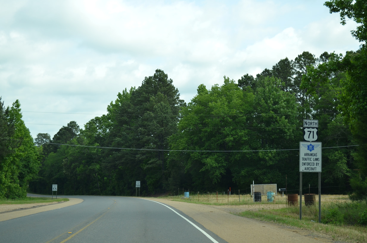
| U.S. 71 enters southwest Arkansas and Miller County 1.1 miles north of Ida, Louisiana. 05/20/14 |
|
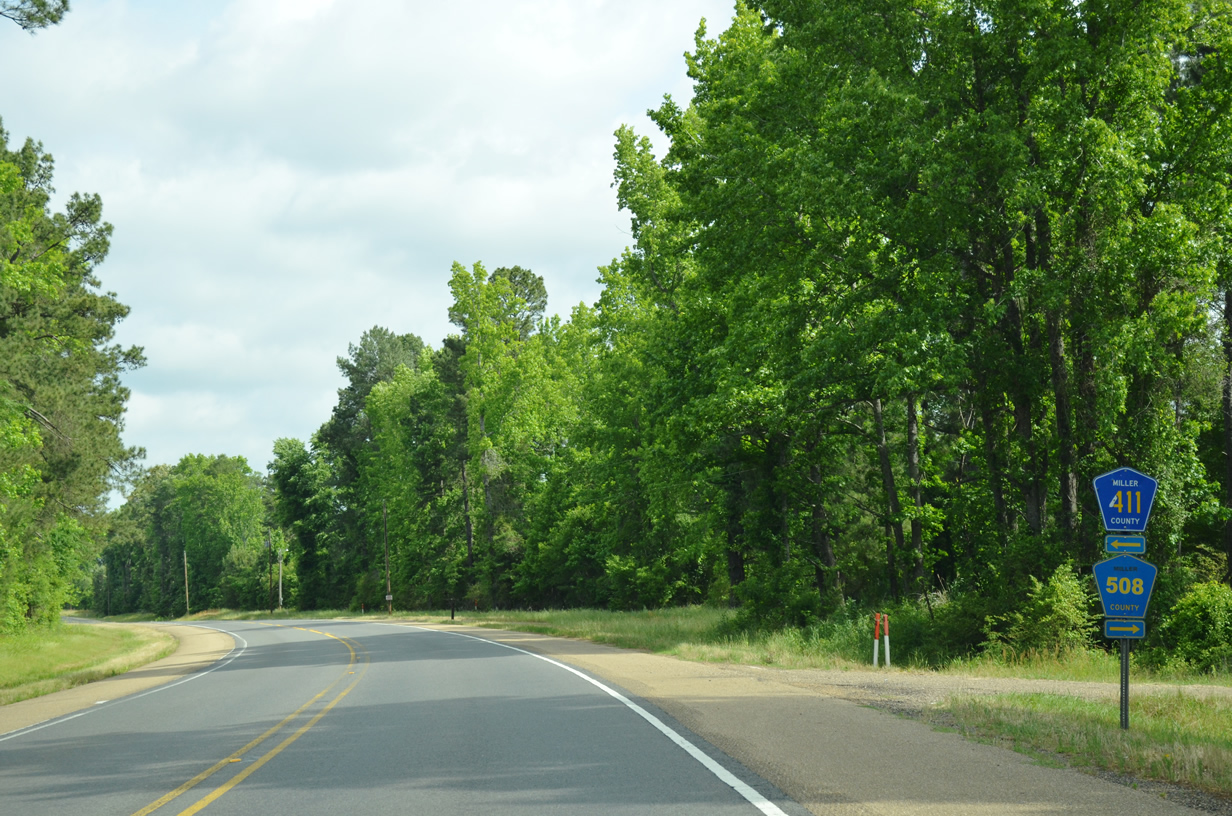
| Some rural residential streets within Miller County are designated by county markers instead of proper road names. Here U.S. 71 passes CR 411 and CR 508, both of which serve a handful of residences. 05/20/14 |
|
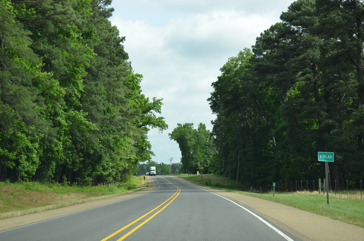
| Two miles into Arkansas U.S. 71 passes through the rural community of Kiblah en route to Doddridge and Fouke. 05/20/14 |
|
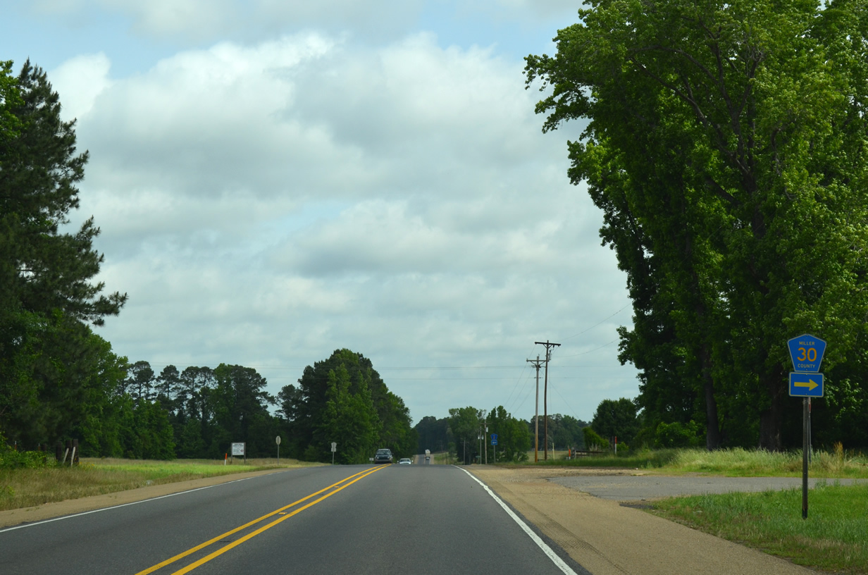
| U.S. 71 reaches the staggered intersection with CR 30 and CR 2. CR 30 meanders east toward Palmer Lake and the Red River. 05/20/14 |
|
| County Road 2 stems northwest through rural Miller County toward the community of Brightstar along AR 160. 05/20/14 |
|
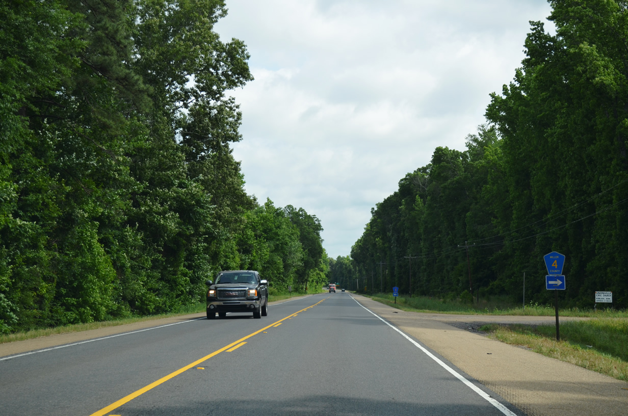
| CR 4 east provides access from U.S. 71 to the community of Smithville. 05/20/14 |
|
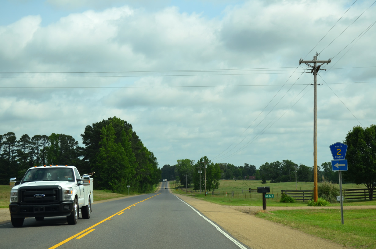
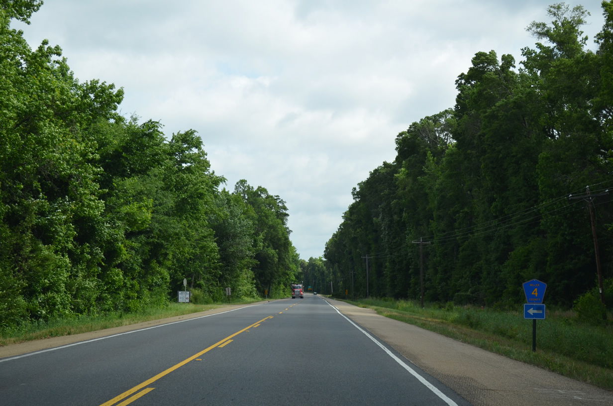
| Miller County Road 4 west connects U.S. 71 with CR 5 and CR 2. 05/20/14 |
|
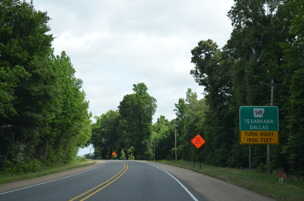
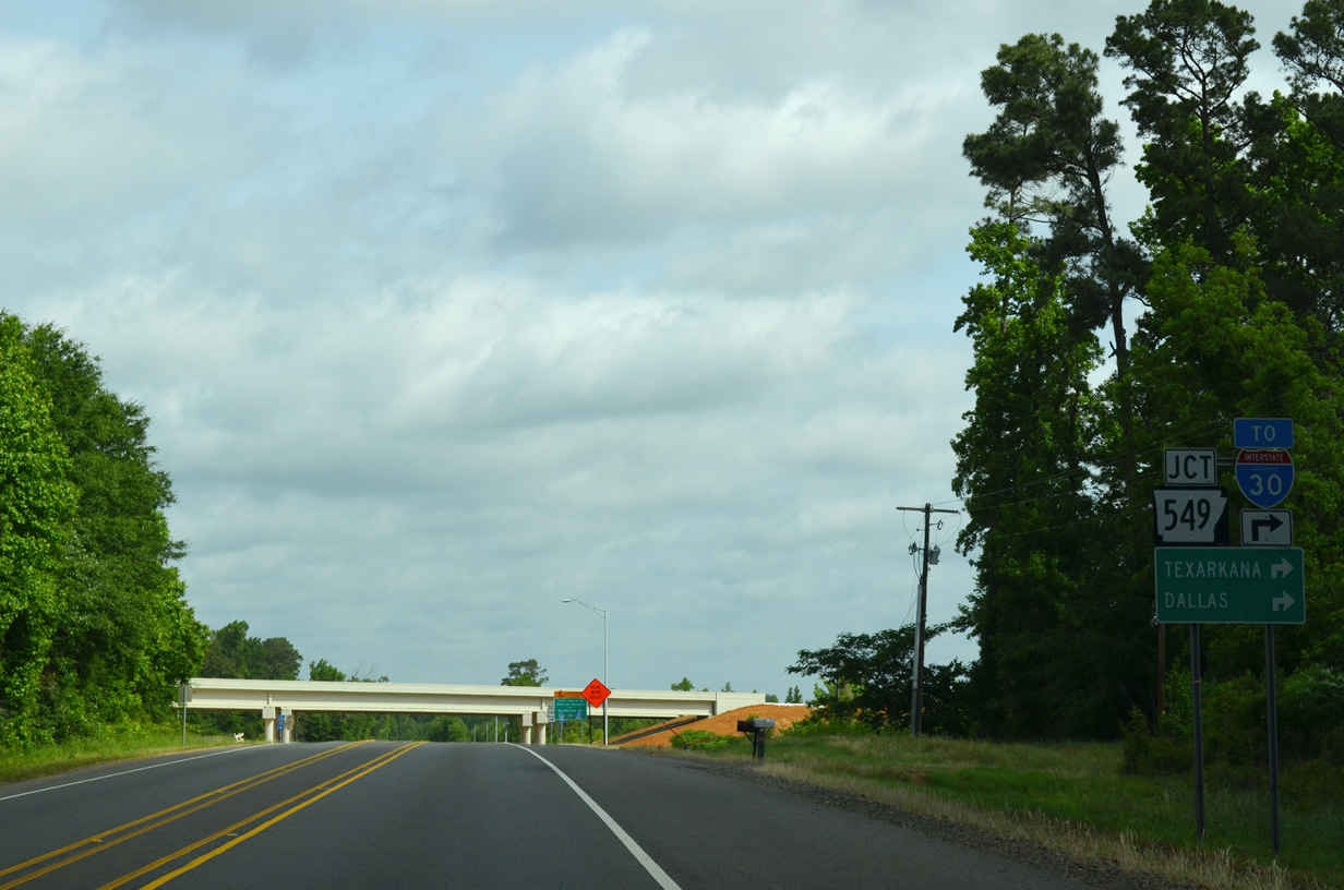
| U.S. 71 approaches a diamond interchange with Interstate 49 to Texarkana and Dallas. The freeway opened in stages between 2004 and 2005 as AR 549 from southeast Texarkana to U.S. 71 near Doddridge. 05/20/14 |
|
| I-49 provides motorists a fast route to Texarkana and Interstate 30 to Dallas and Little Rock. 05/20/14 |
|
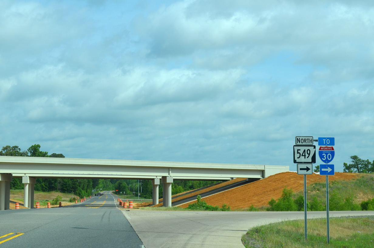
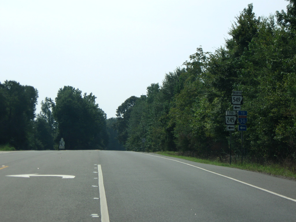
| U.S. 71 north at the temporary end of I-49 (Highway 549) in south Miller County. The limited access freeway joins Doddridge with Texarkana 32.1 miles to the north. The segment south to Louisiana opened on November 10, 2014. 05/20/14 |
|
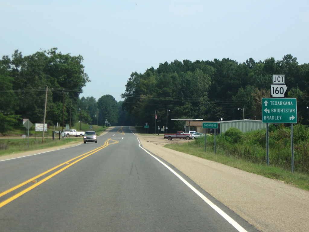
| North of I-49, U.S. 71 approaches both Doddridge and AR 160. Highway 160 is split into four segments through southern Arkansas with this section entering the Natural State near Bloomburg, Texas and ending at AR 19 at Macedonia. AR 160 leads 5.8 miles west from Doddridge to Brightstar and 15 miles east to Bradley in neighboring Lafayette County. 09/04/09 |
|
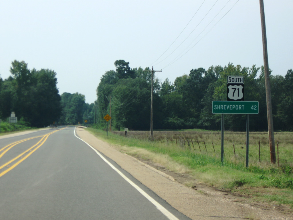
| U.S. 71 continues south from AR 160 and Doddridge toward Louisiana and Shreveport (42 miles). 09/04/09 |
|
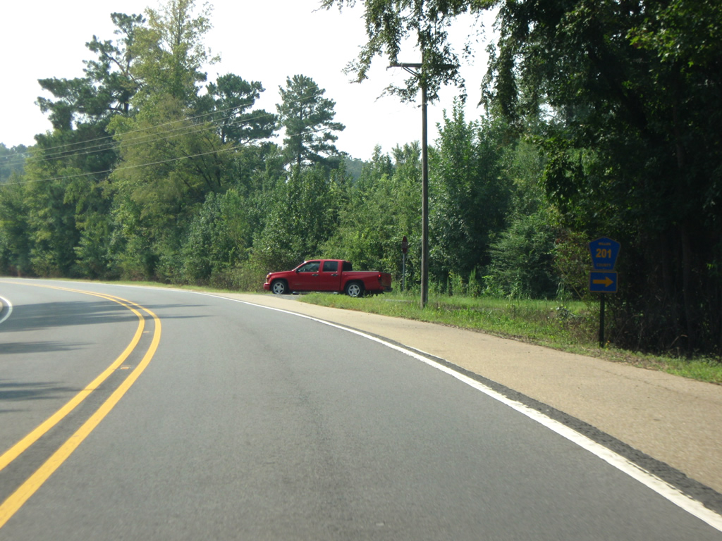
| Miller County Road 201 comprises a 0.3 mile connection between U.S. 71 and AR 160 in Doddridge. 09/04/09 |
|
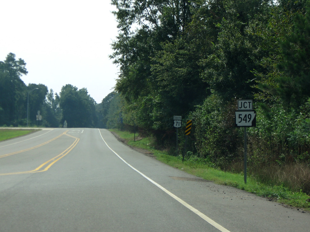
| U.S. 71 south at the temporary end of AR 549 / I-49. A diamond interchange joins the two highways here, with the four mile segment south into Louisiana completed on November 10, 2014. 09/04/09 |
|
| The AR 549 freeway provided a seamless connection between U.S. 71 and I-30 at Texarkana. U.S. 71 continues south another 4.3 miles to the Louisiana state line. 09/04/09 |
Photo Credits:09/04/09, 05/20/14 by AARoads
Connect with:
Interstate 30
Interstate 49
Interstate 540
Highway 160
Page Updated 10-24-2021.


 North
North