

 North
North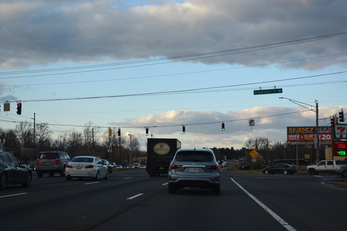
12/16/22
12/16/22

12/16/22

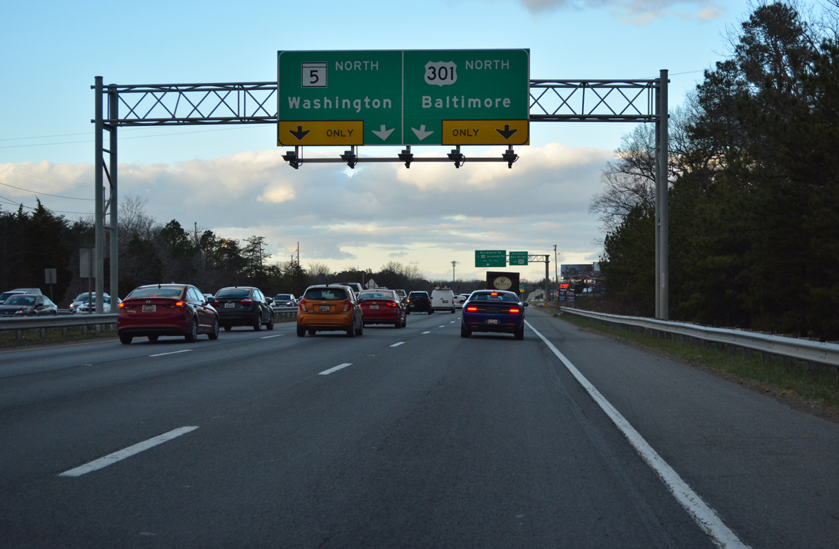
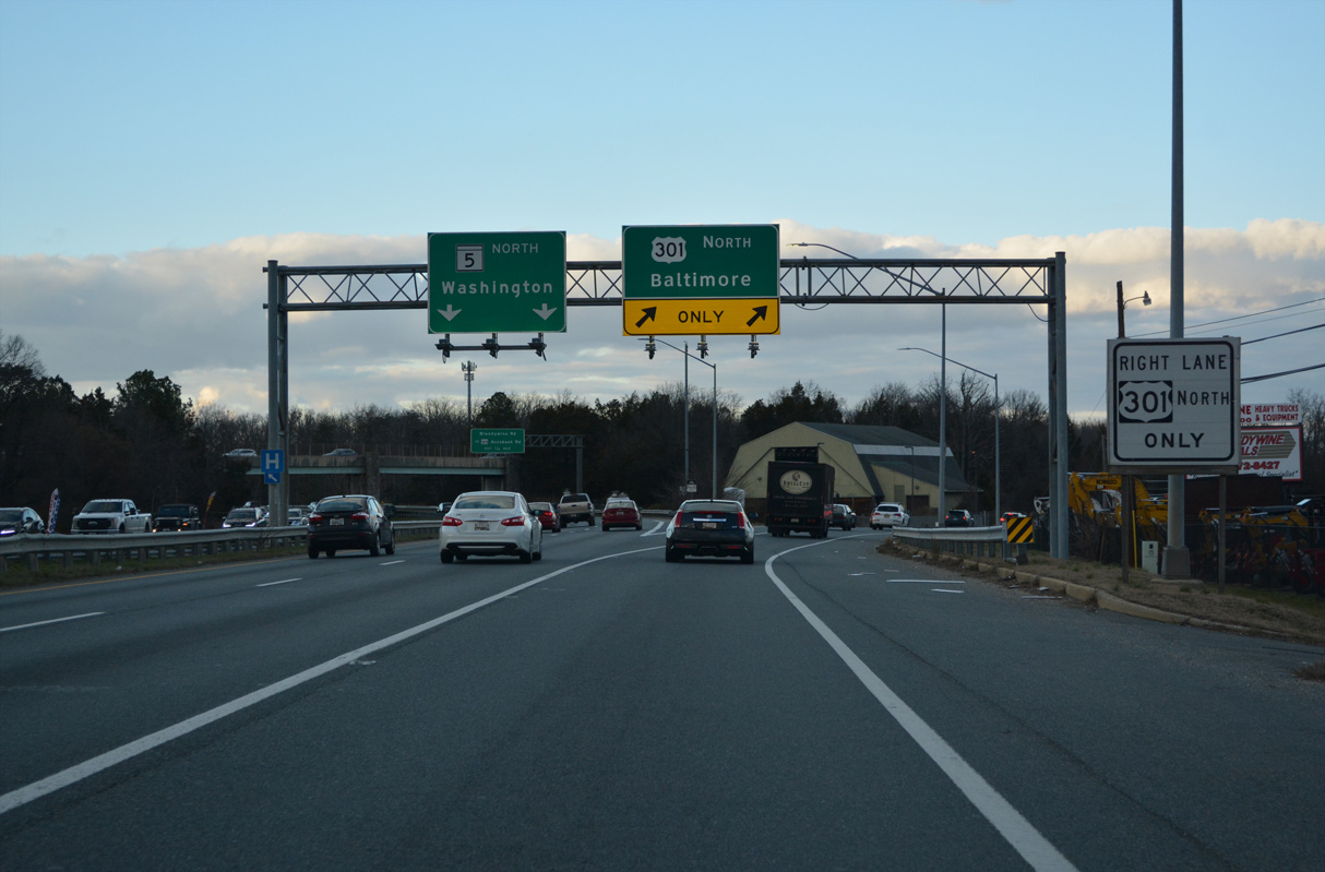
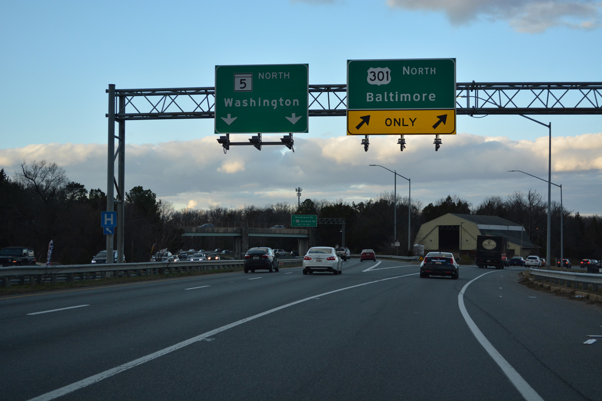
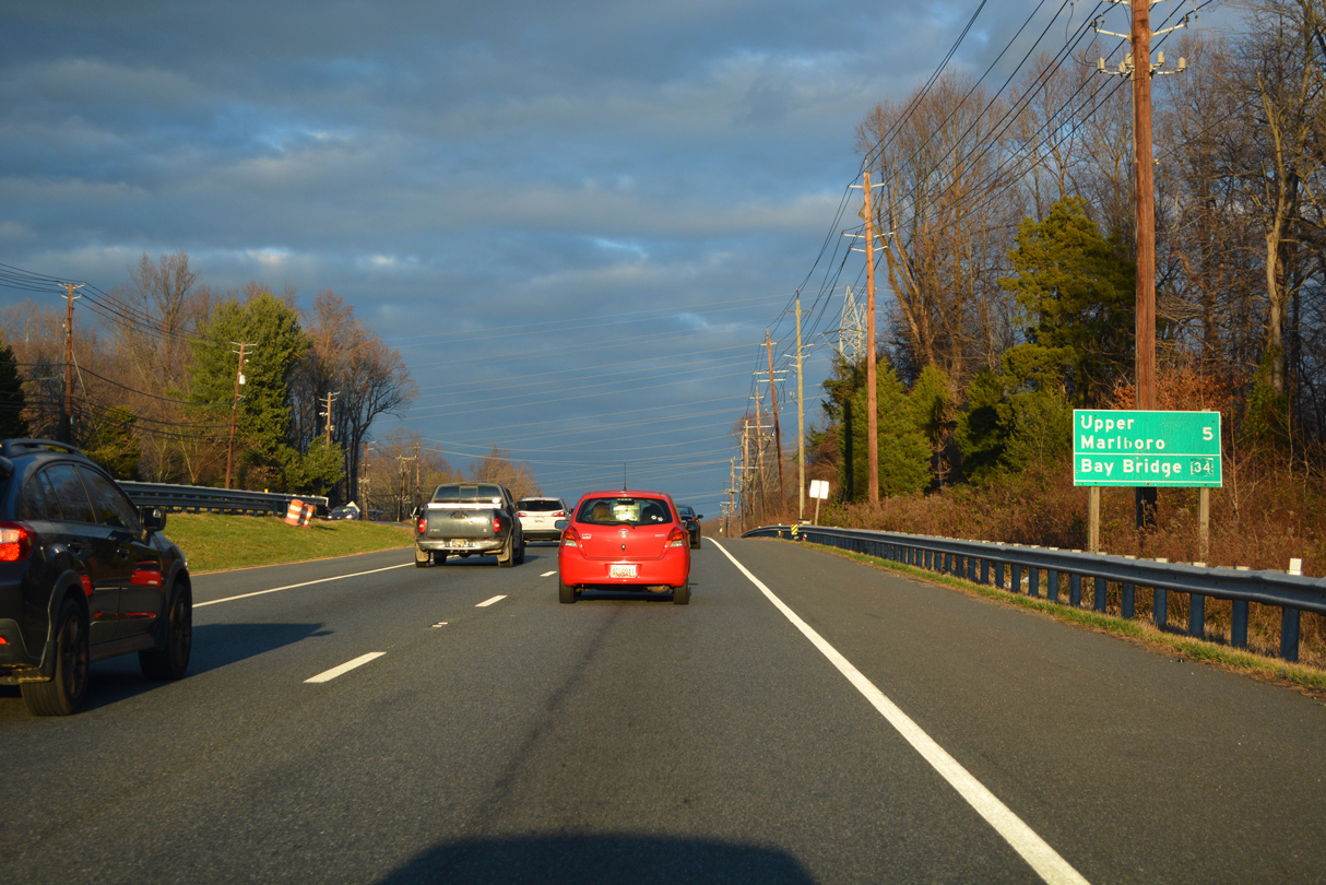
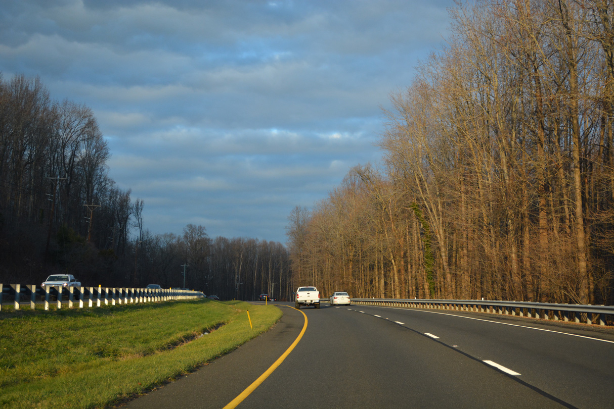
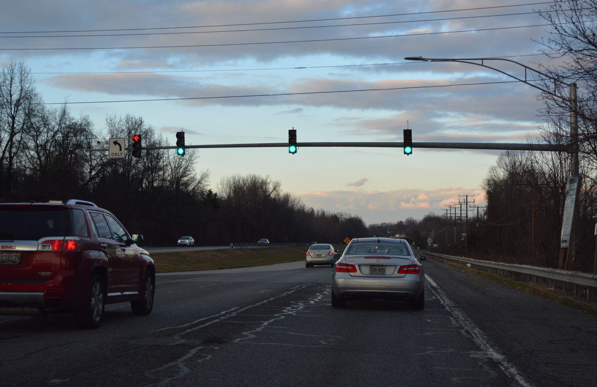
MD 5 (Branch Avenue) separates from U.S. 301 (Crain Highway) at a wye interchange in one mile.
12/16/22

12/16/22
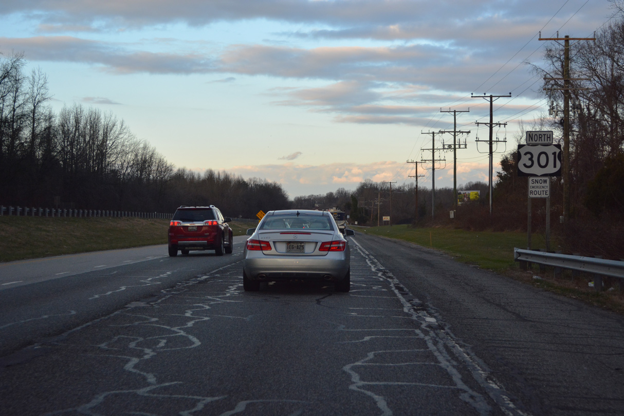
MD 5 (Branch Avenue) continues 13.03 miles north from U.S. 301 (Crain Highway) to Clinton, Camp Springs, Marlow Heights and the District of Columbia line.
12/16/22

MD 5 (Branch Avenue) connects U.S. 301 with MD 373 (Accokeek Road) west and Brandywine Road (MD 631B) east just to the north.
12/16/22

12/16/22
12/16/22
12/16/22
North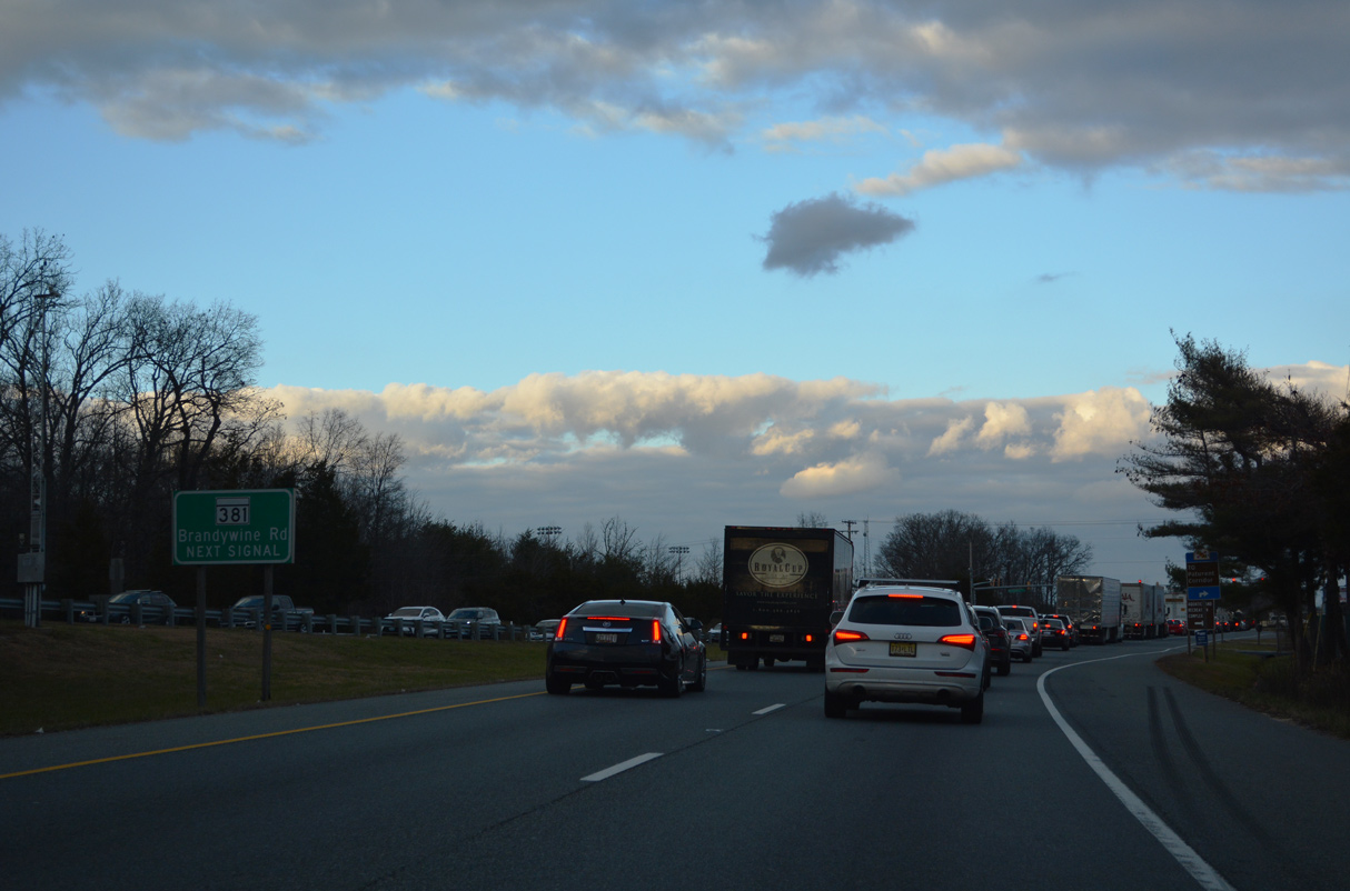
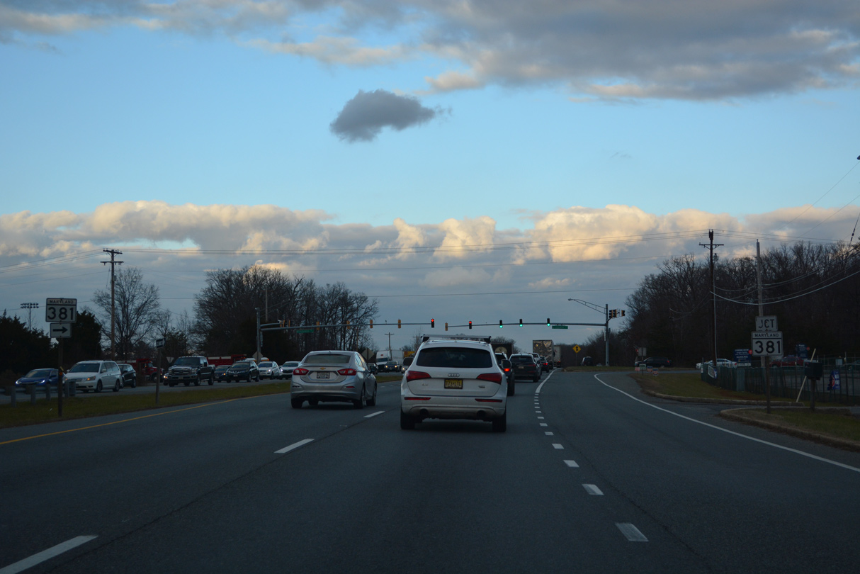
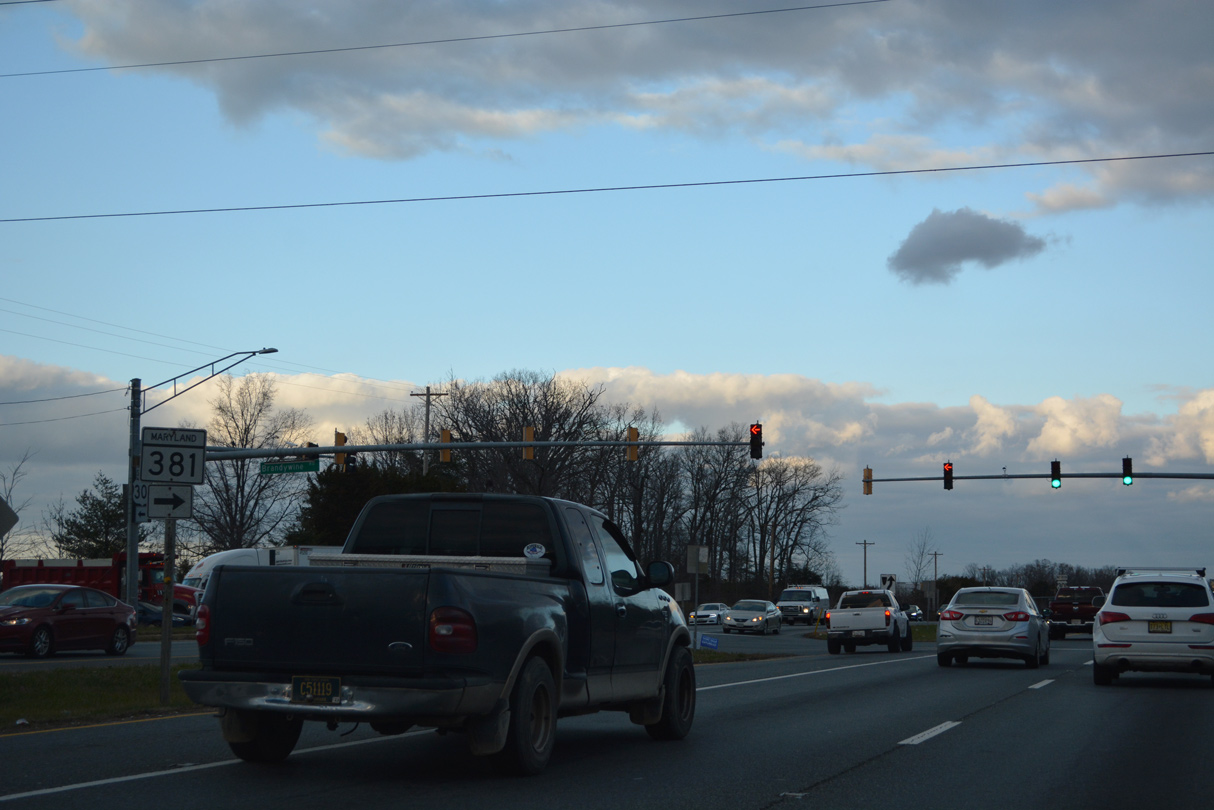
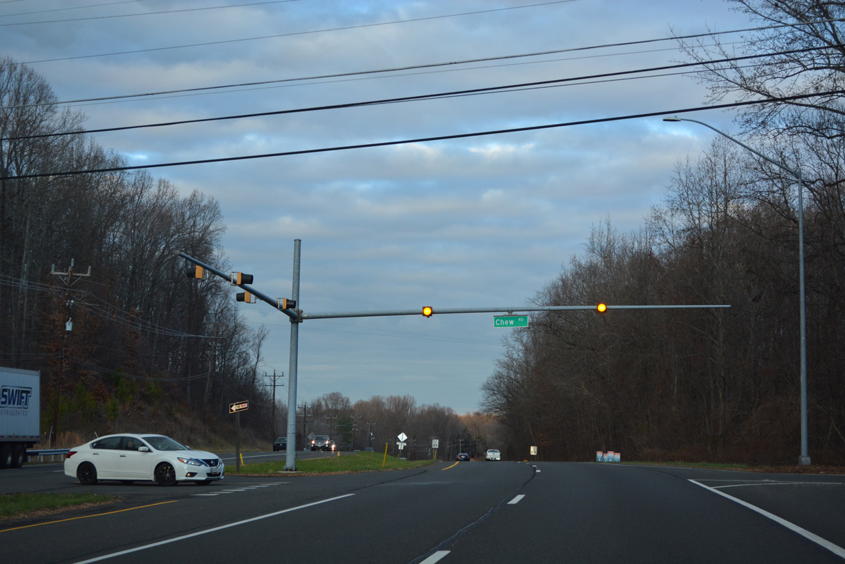
Part of MD 381 to the east, Brandywine Road meets U.S. 301 at the ensuing traffic light beyond MD 5.
12/16/22
MD 381 (Brandywine Road) constitutes a 15.91 mile long loop south from Brandywine to Aquasco and MD 231 at Patuxent.
12/16/22
12/16/22

12/16/22
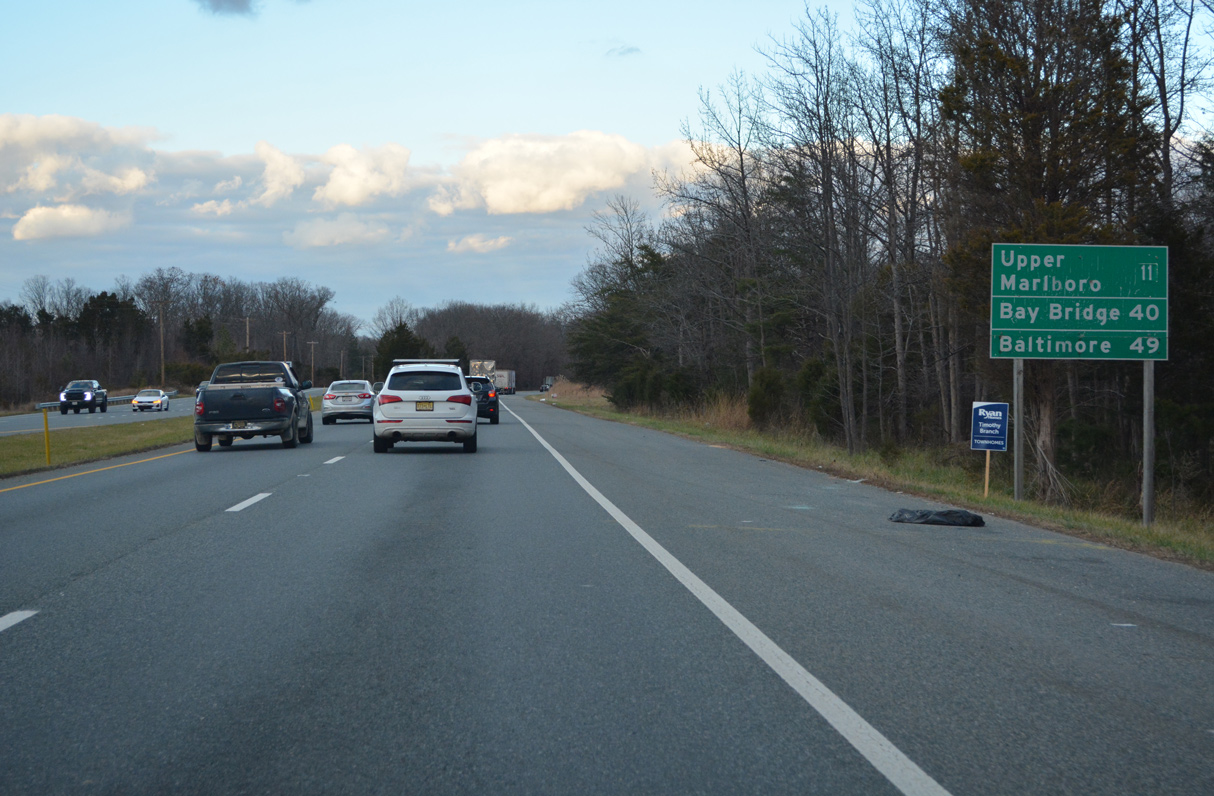
The Town of Upper Marlboro lies 11 miles north of MD 381 along Old Crain Highway west of U.S. 301.
12/16/22
12/16/22
12/16/22

Frank Tippett Road is a major collector running 2.80 miles north between subdivisions to Rosaryville Road.
12/16/22
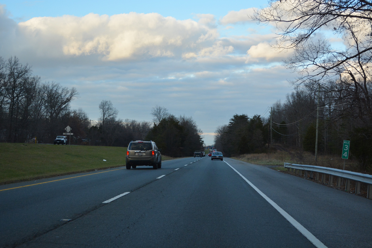
Mile marker 34 for U.S. 301 stands north of Timberline Drive and the Timberly neighborhood.
12/16/22

Rosary Road heads 2.73 miles east from MD 223 (Woodyard Road) to meet U.S. 301 (Crain Highway) across from Old Indian Head Road south.
12/16/22
12/16/22
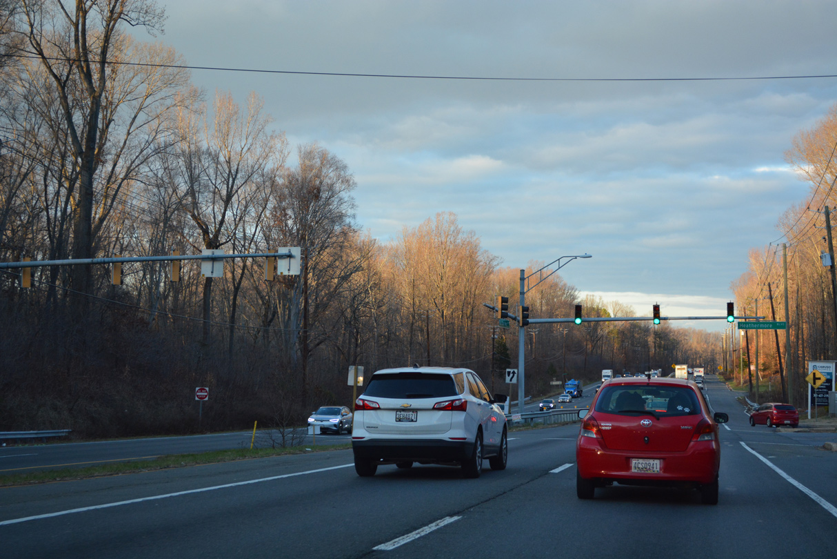
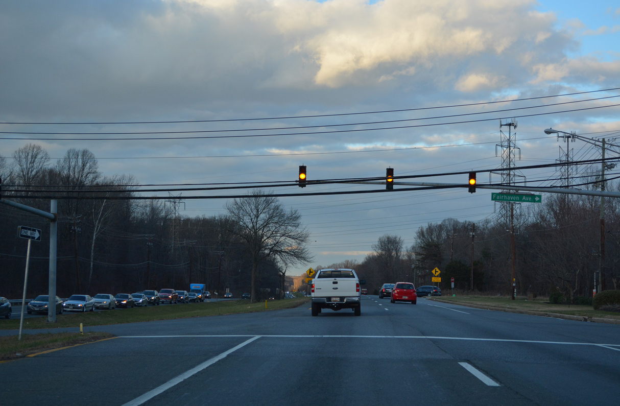
Heathermore Boulevard stems east into the unincorporated community of Marlton.
12/16/22
12/16/22
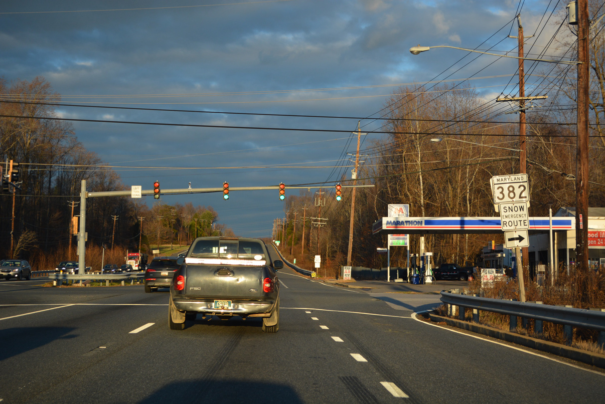
Measuring 11.63 miles in length, MD 382 (Croom Road) travels south to Croom, Naylor, Bald Eagle and the Charles County line west of MD 381 (Brandywine Road).
12/16/22
12/16/22
12/16/22
Old Crain Highway angles 2.33 northeast from U.S. 301 to Main Street in Upper Marlboro from ahead of this reassurance marker.
12/16/22
An undeveloped stretch of U.S. 301 preceding Croom Station Road lies north of Charles Branch Steam Valley Park.
12/16/22

Croom Station Road arcs 2.55 miles north from MD 382 (Croom Road) to Old Crain Highway.
12/16/22
12/16/22
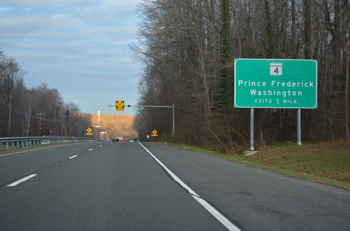
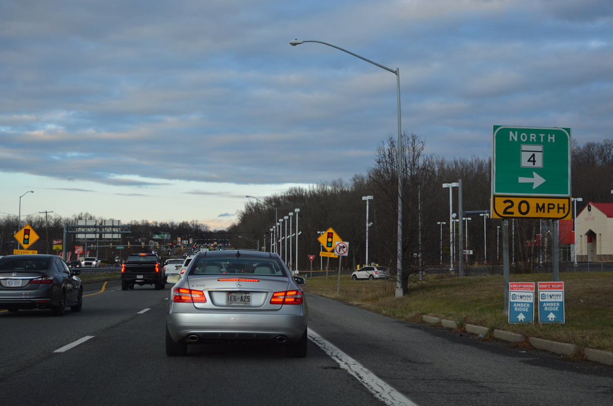
A cloverleaf interchange joins U.S. 301 (Crain Highway) with MD 4 (Stephanie Roper Highway) in one mile.
12/16/22
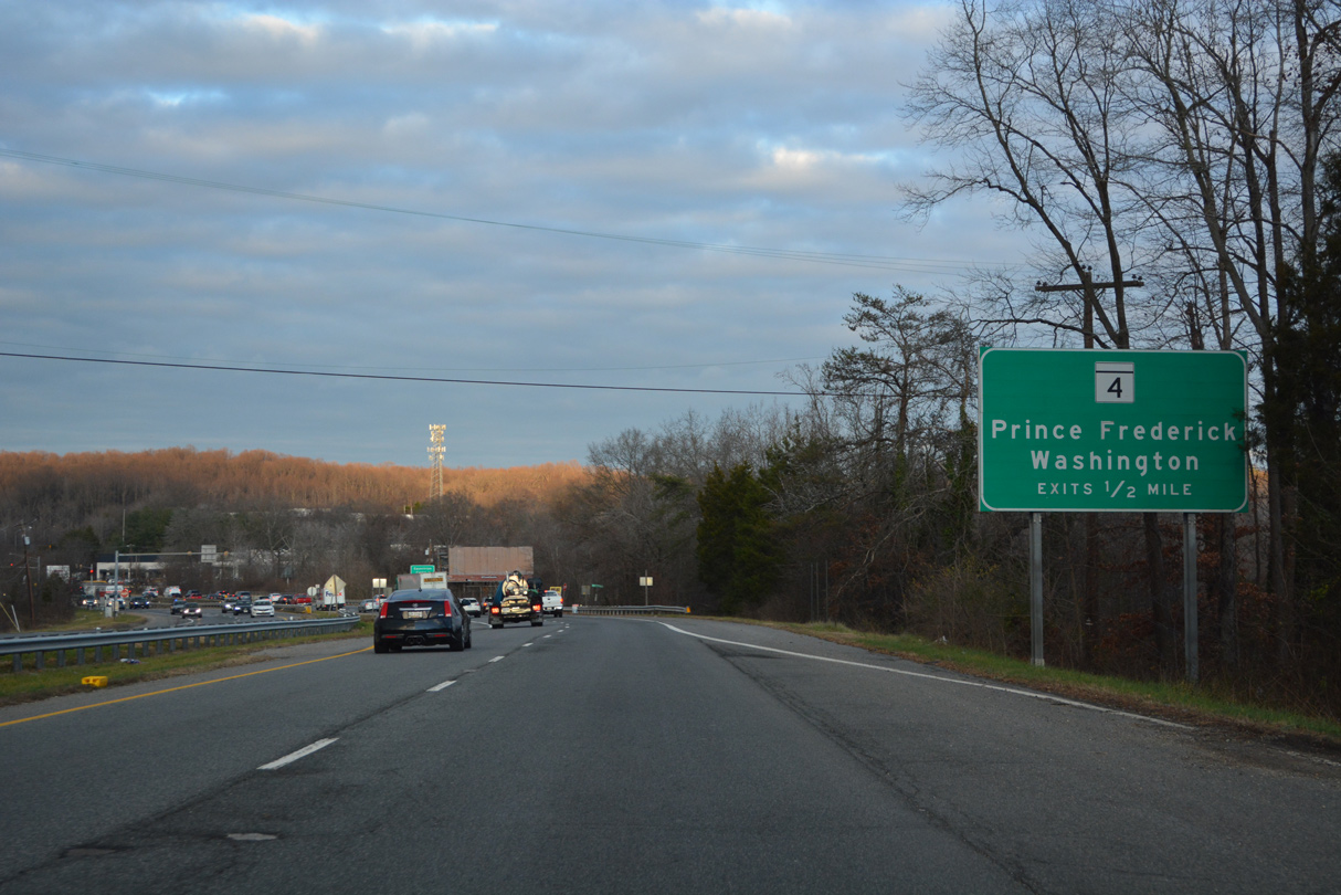
MD 4 is an expressway west to Joint Base Andrews and east to Bristol in Anne Arundel County.
12/16/22
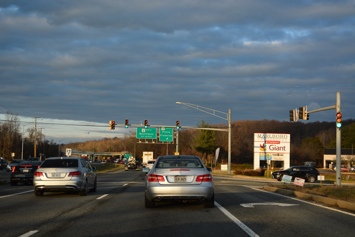
The signalized entrances for Marlboro Square and Marlboro Crossroads shopping centers precedes the southbound entrance ramp for MD 4.
12/16/22

12/16/22

12/16/22

12/16/22
12/16/22
12/16/22
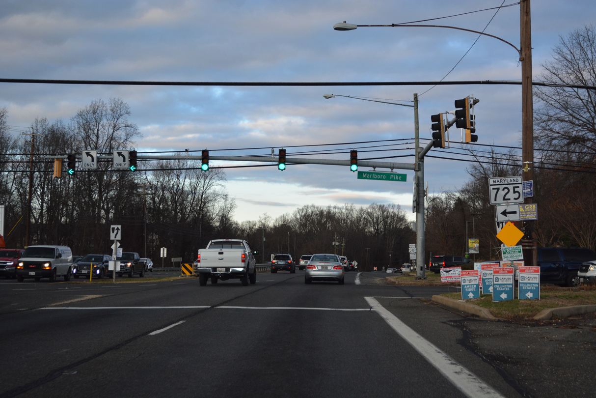
MD 725 (Marlboro Pike) connects U.S. 301 with the Town of Upper Marlboro from the northeast. The state route spurs 1.86 miles west to the intersection of Old Marlboro Pike at Brown Station Road.
12/16/22

12/16/22
12/16/22

Village Drive West comprises the lone entrance into the Marlboro Meadows development.
12/16/22
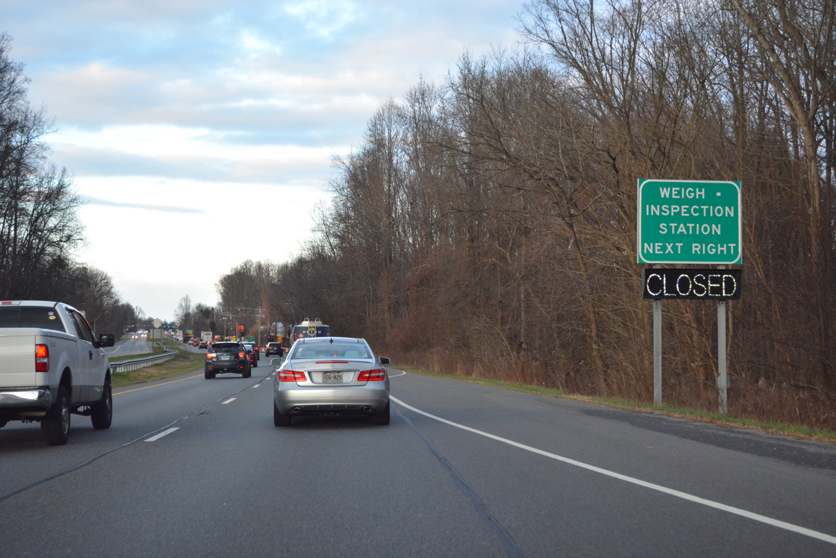
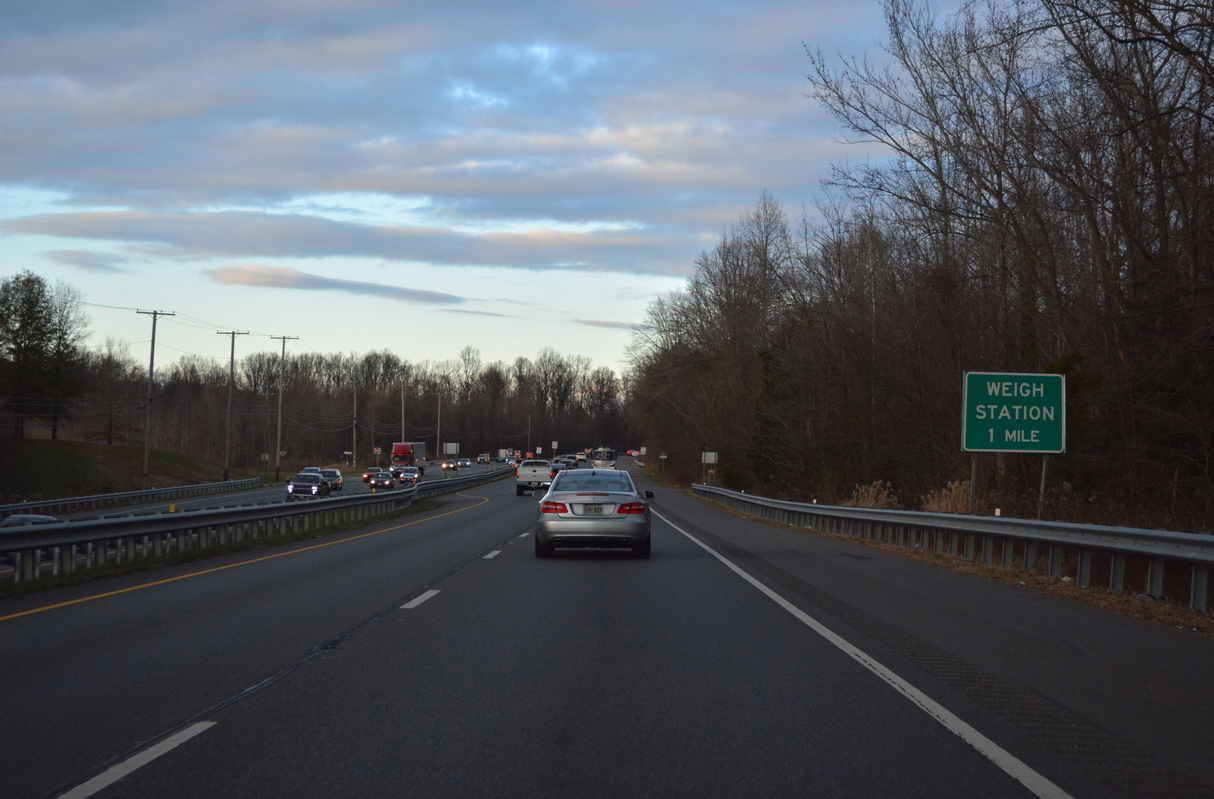
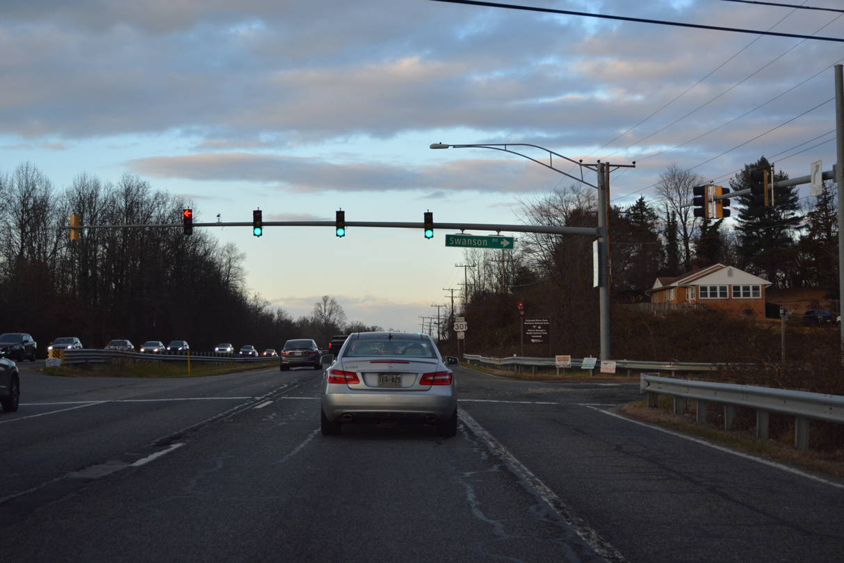
Weigh stations line U.S. 301 (Crain Highway) north between Village Drive West and Swanson Road.
12/16/22
12/16/22
12/16/22
12/16/22
12/16/22
12/16/22

The roadways of U.S. 301 (Crain Highway) diverge ahead of a directional cloverleaf interchange with MD 214 (Central Avenue).
12/16/22
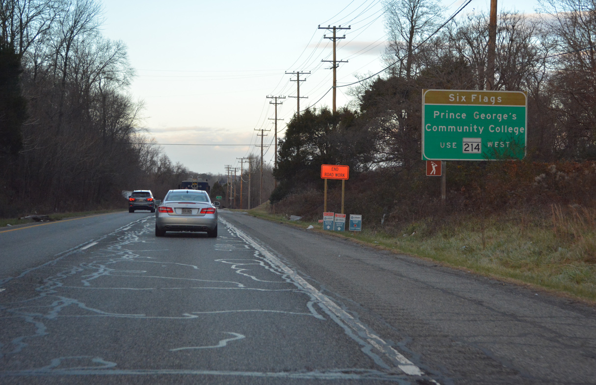
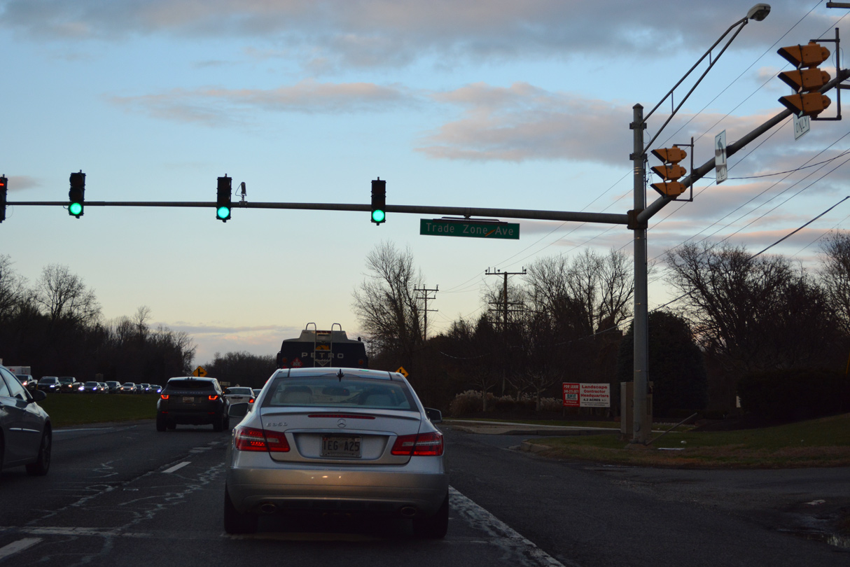
Six Flags America is located off MD 214 (Central Avenue), 2.9 miles west of U.S. 301.
12/16/22

MD 214 (Central Avenue) is a 23.60 mile long route west to Washington, DC beyond Seat Pleasant and east to Mayo off Chesapeake Bay.
12/16/22

Old Central Avenue (MD 978B) links MD 214 east with U.S. 301 south and U.S. 301 north with MD 214 east to Davidsonville.
12/16/22

12/16/22
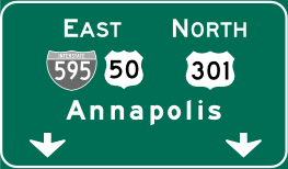

Photo Credits:
12/16/22 by AARoads
Page Updated 01-14-2023.