
 North
North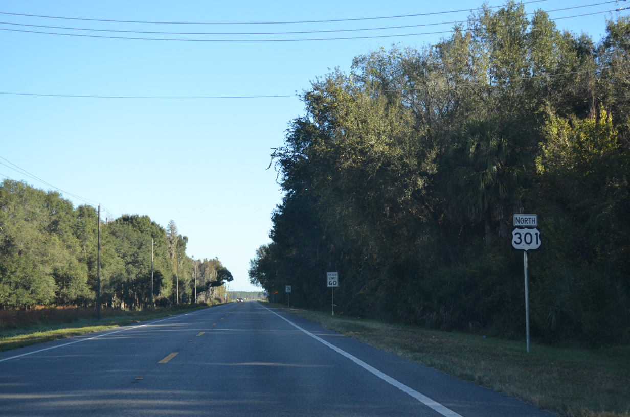
11/23/13

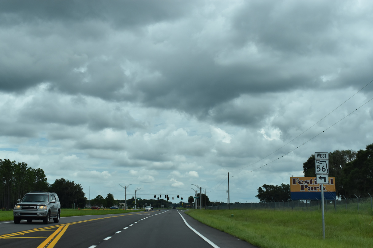
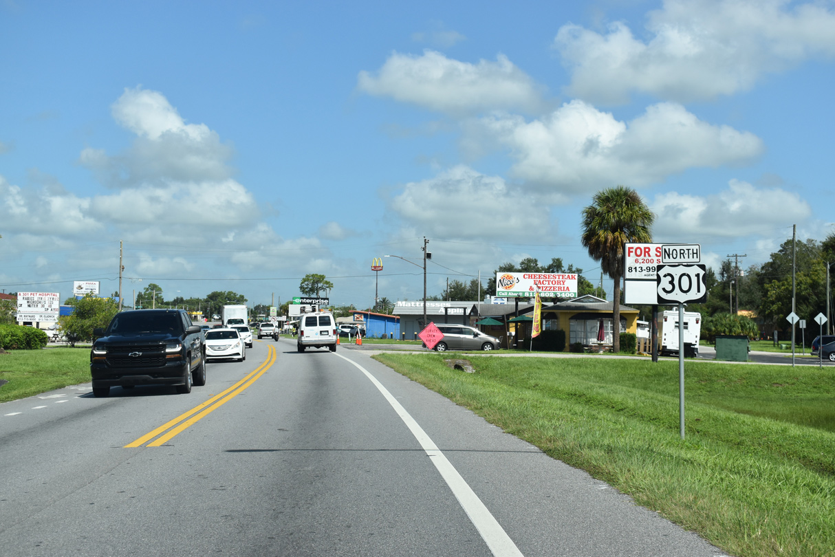
U.S. 301 curves northeast ahead of the east end of State Road 56.
07/27/19
The eastern six miles of SR 56, from Meadow Pointe Boulevard to U.S. 301, opened on July 10, 2019.
07/27/19
SR 56 constitutes a four to six lane suburban arterial west to I-75 and SR 54 at Wesley Chapel.
07/27/19

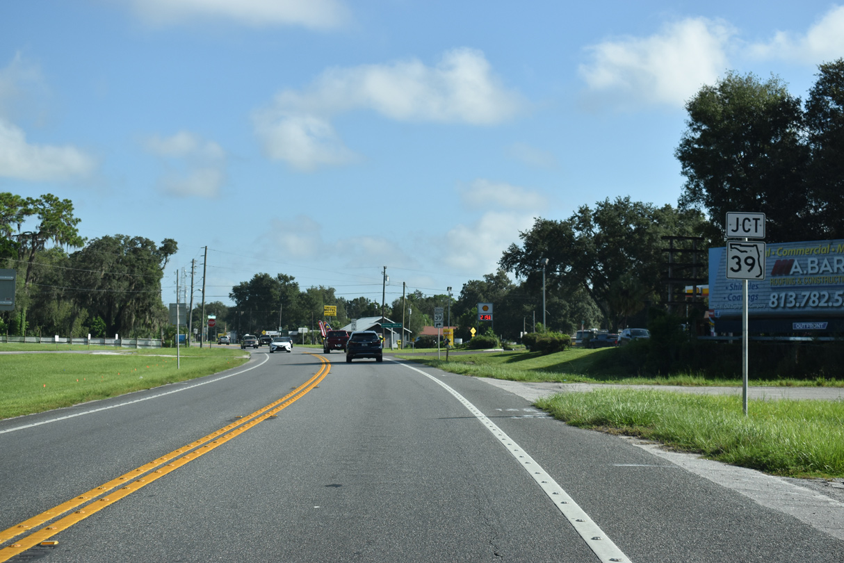
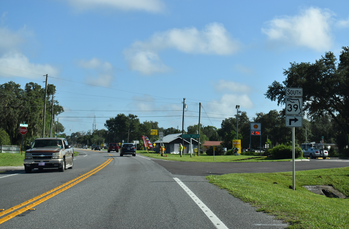
Connecting U.S. 301 with SR 39 (Paul S Buchman Highway) south to Plant City, Chancey Road forms part of the Zephyrhills east bypass.
09/10/19

Chancey Road becomes CR 535 northward from SR 39. CR 535 runs east of Zephyrhills Municipal Airport (ZPH) to CR 35A, which extends the route to Richland, U.S. 98 and Dade City.
09/10/19
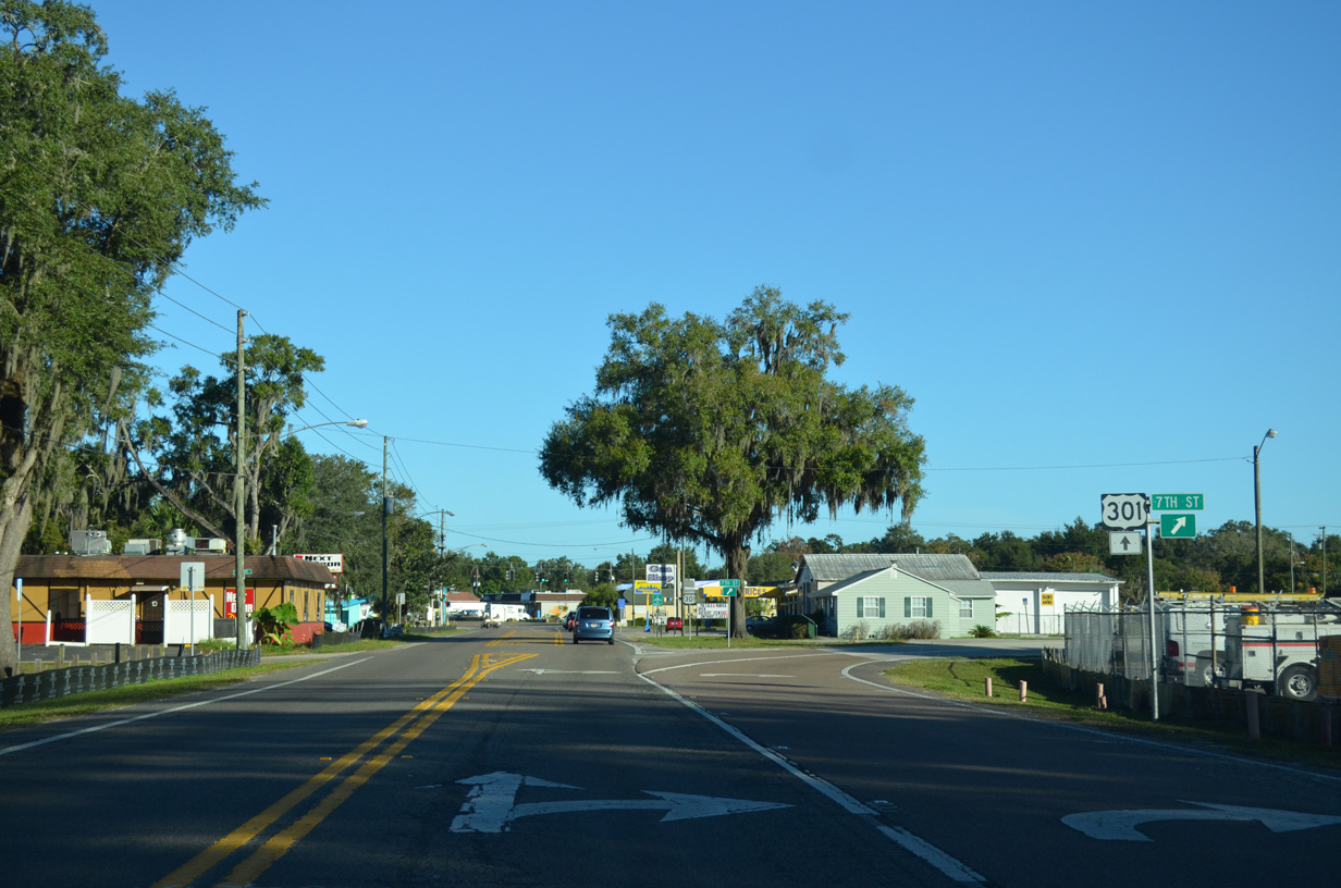
Heading northward into Zephyhills, U.S. 301 and SR 39 (Paul S. Buchman Highway) converge.
09/03/20
State Road 39 runs 20.53 miles south to Knights, Plant City and SR 60 at Hopewell.
09/03/20

Crystal Springs is an unincorporated area between Zephyrhills and the Hillsborough County line along SR 39 south.
09/03/20

09/03/20

05/30/20

05/30/20

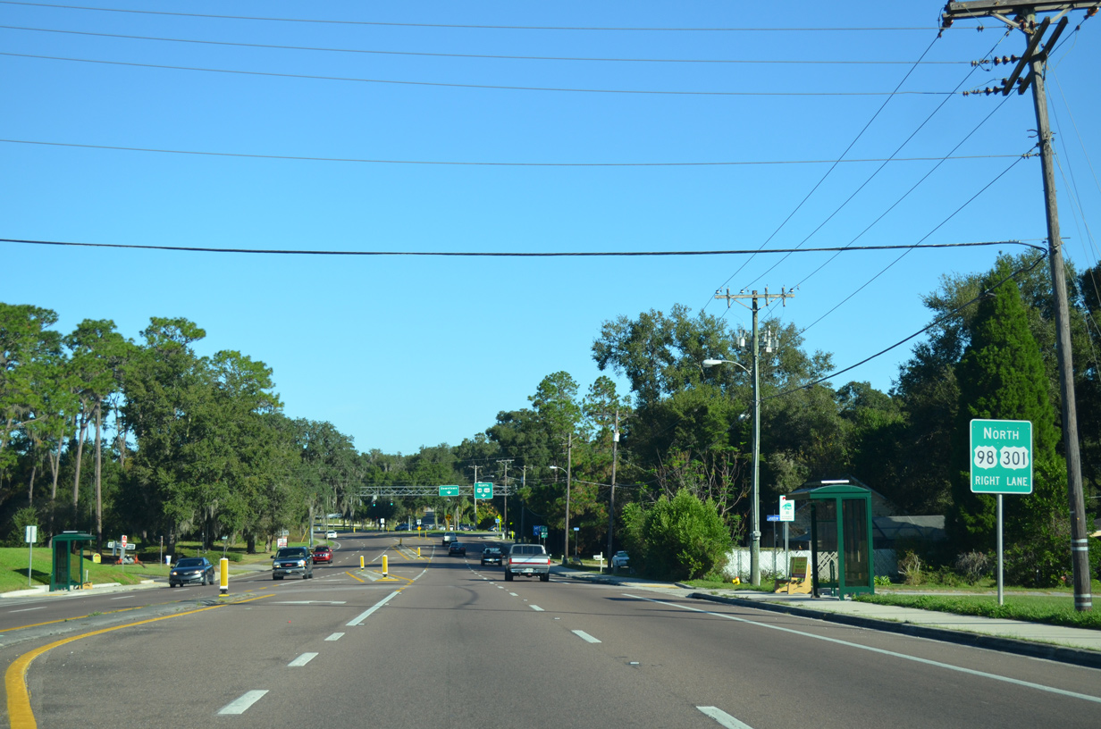
Entering the city of Zephyrhills along U.S. 301 (Gall Boulevard) northbound.
09/04/17

7th Street splits with U.S. 301 north ahead of South Avenue and Downtown Zephyrhills.
09/04/17
11/23/13

Reassurance marker posted between 7th Street and South Avenue.
09/04/17

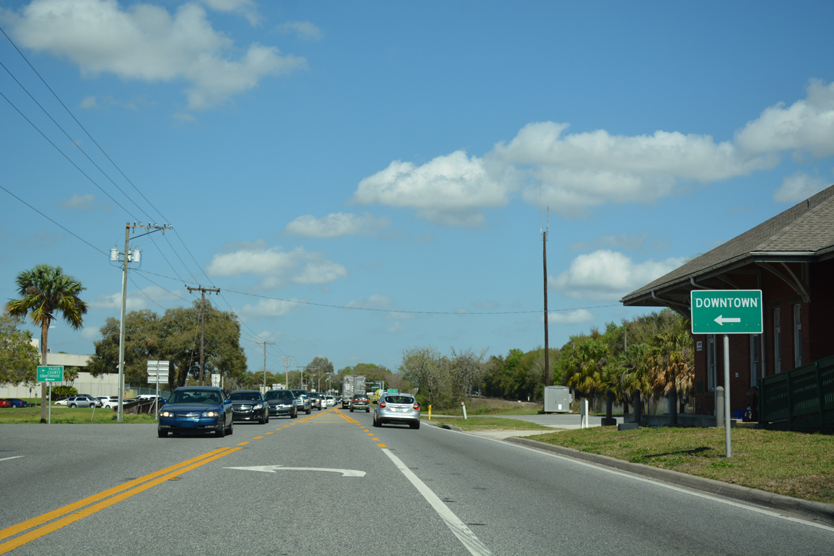
South Avenue leads west to 4th Street at Zephyr Park and east to Zephyrhills Municipal Airport (ZPH).
09/03/20

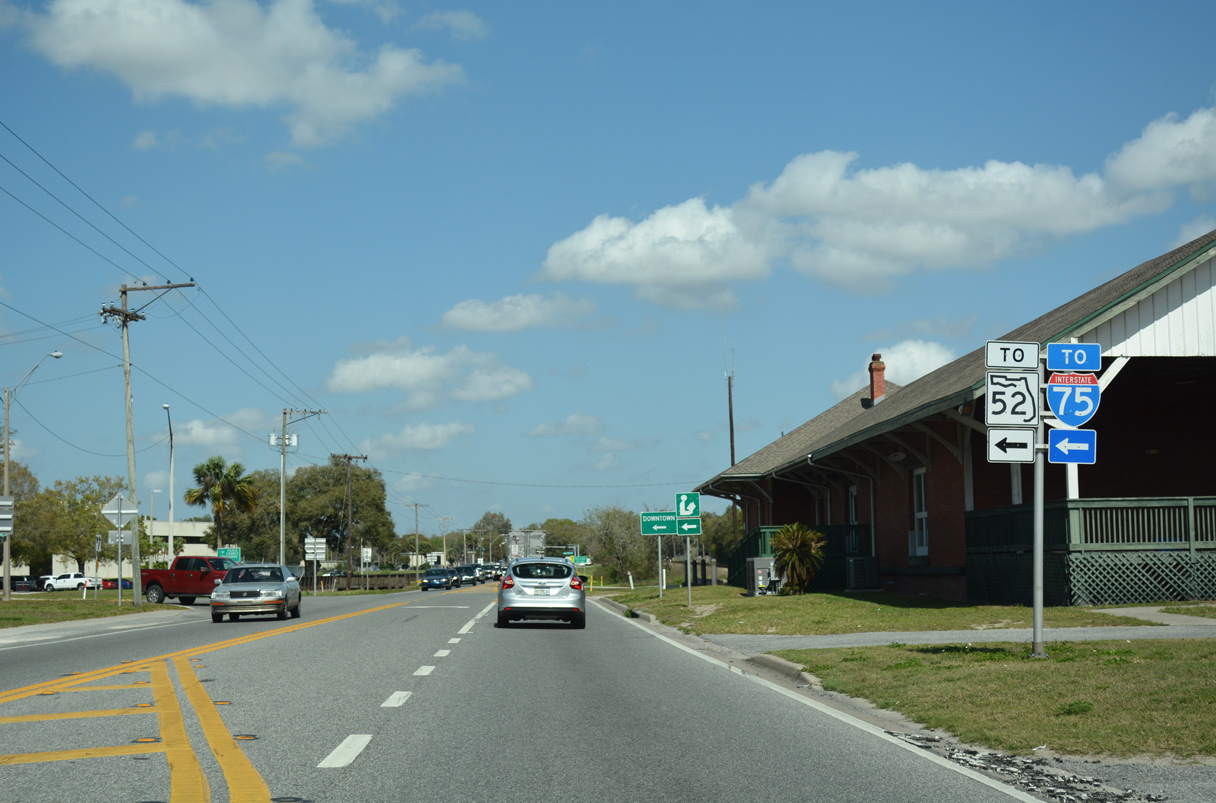
Gall Boulevard leads U.S. 301 three and a half blocks north from South Avenue to the east end of State Road 54 (5th Avenue).
09/03/20

SR 54 is a segmented route joining Zephyrhills with Wesley Chapel and Wesley Chapel with Land O' Lakes and New Port Richey.
09/03/20

5th Avenue extends east as a local boulevard. Running east to U.S. 98 along the Polk County line, CR 54 intersects U.S. 301 further north.
09/03/20

U.S. 301 (Gall Boulevard) proceeds north from SR 54 and Downtown Zephyrhills.
09/03/20
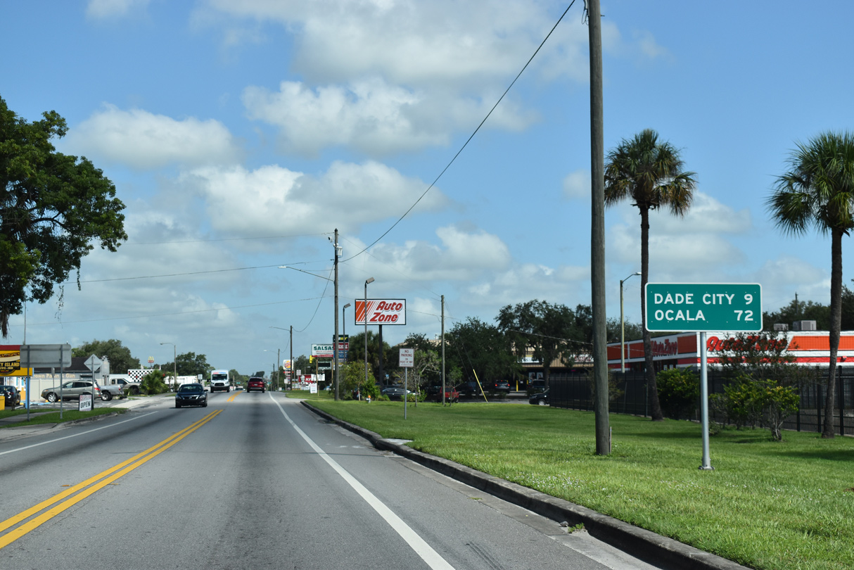
Dade City lies nine miles north of SR 54 along U.S. 301. U.S. 301 eventually reaches Ocala, north of Bushnell, Coleman and Wildwood.
09/03/20

09/03/20
09/03/20
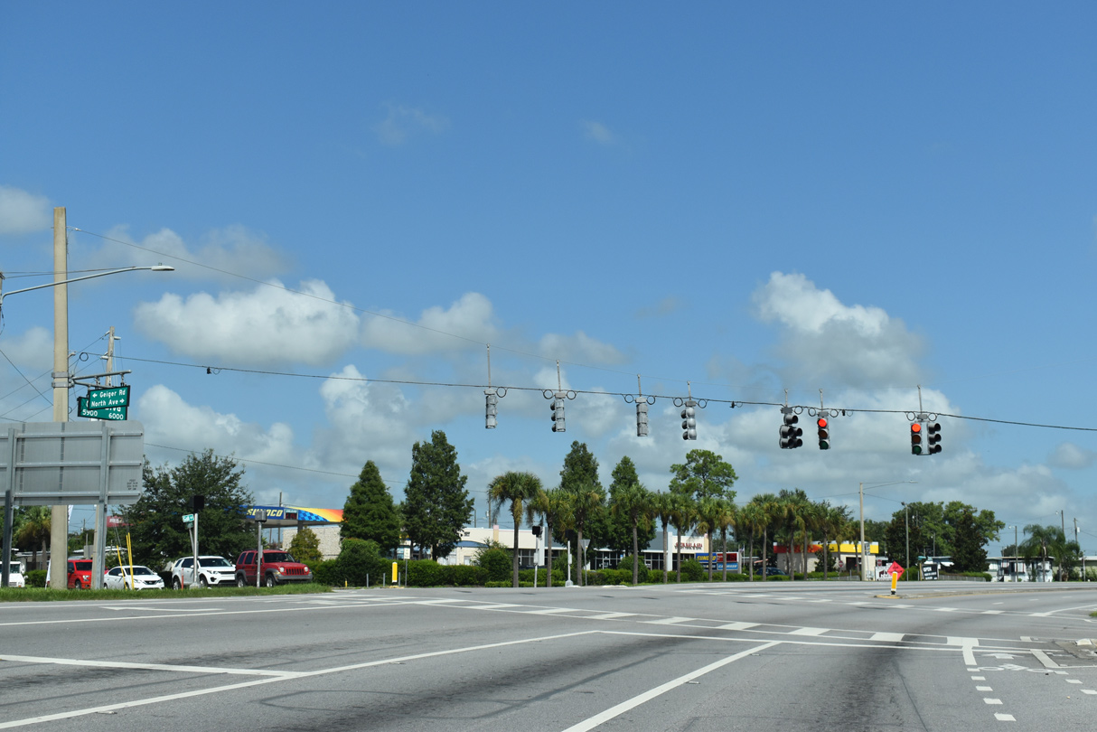
North Avenue west and Geiger Road east come together with U.S. 301 between two shopping centers.
09/03/20

Fort King Road extends north from 7th Street to U.S. 301 (Gall Boulevard) where CR 41 begins.
09/03/20

CR 41 (Fort King Road) parallels U.S. 301 to the west as both progress northward to Dade City.
09/03/20

U.S. 301 intersects CR 54 at Eiland Boulevard just north of CR 41. This shield assembly was removed by 2019.
11/23/13

CR 54 heads 6.95 miles east from U.S. 301 to U.S. 98.
09/03/20

CR 54 (Eiland Boulevard) west provides a bypass around Zephyrhills West to SR 54 at CR 579 (Morris Bridge Road). SR 54/CR 54 continues from there to Interstate 75 at Wesley Chapel.
09/03/20

09/03/20

The Hernando County seat of Brooksville is 31 miles to the northwest of CR 54 in Zephyrhills via U.S. 98.
09/03/20

09/03/20
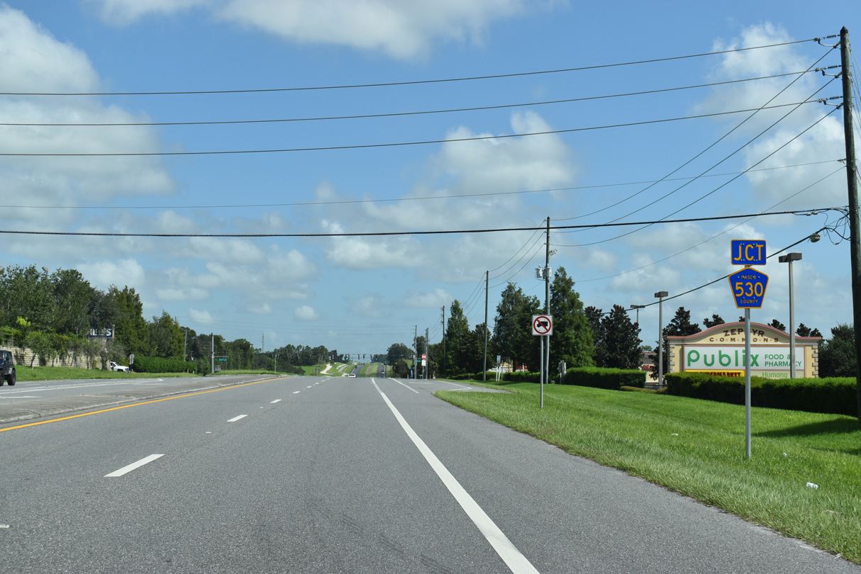
CR 530 spurs west along Kossik Road to Green Slope Drive. A second branch of CR 530 runs 2.08 miles east along Otis Allen Road from Wire Road nearby.
09/03/20

The two sections of CR 530 will be linked and then CR 530 will be extended west to Overpass Road, forming a new arterial route between Zephyrhills and I-75. This shield was removed by 2020.
11/23/13

Kossik Road was extended east from U.S. 301/CR 530 to serve the Abbott Park and Zephyr Lakes subdivisions.
09/03/20
The signal at Centennial Road east serves Centennial Middle School.
11/23/13

U.S. 98 angles northwest from Polk County to combine with U.S. 301 on the outskirts of the Dade City limits.
11/23/13

U.S. 98 provides a direct route southeast to the Polk County seat of Lakeland.
11/23/13

The intersection with U.S. 98 was reconfigured by 2016 from a non-signalized, two-wye into a conventional T intersection. An FDOT study underway focuses on realigning U.S. 98 northward to meet U.S. 301 over Clinton Avenue (CR 52 ALT).
11/23/13
 North
North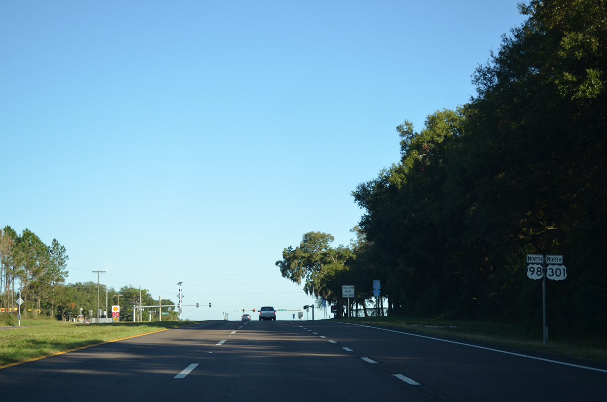
U.S. 98/301 overlap 9.4 miles north through the Dade City area.
11/23/13
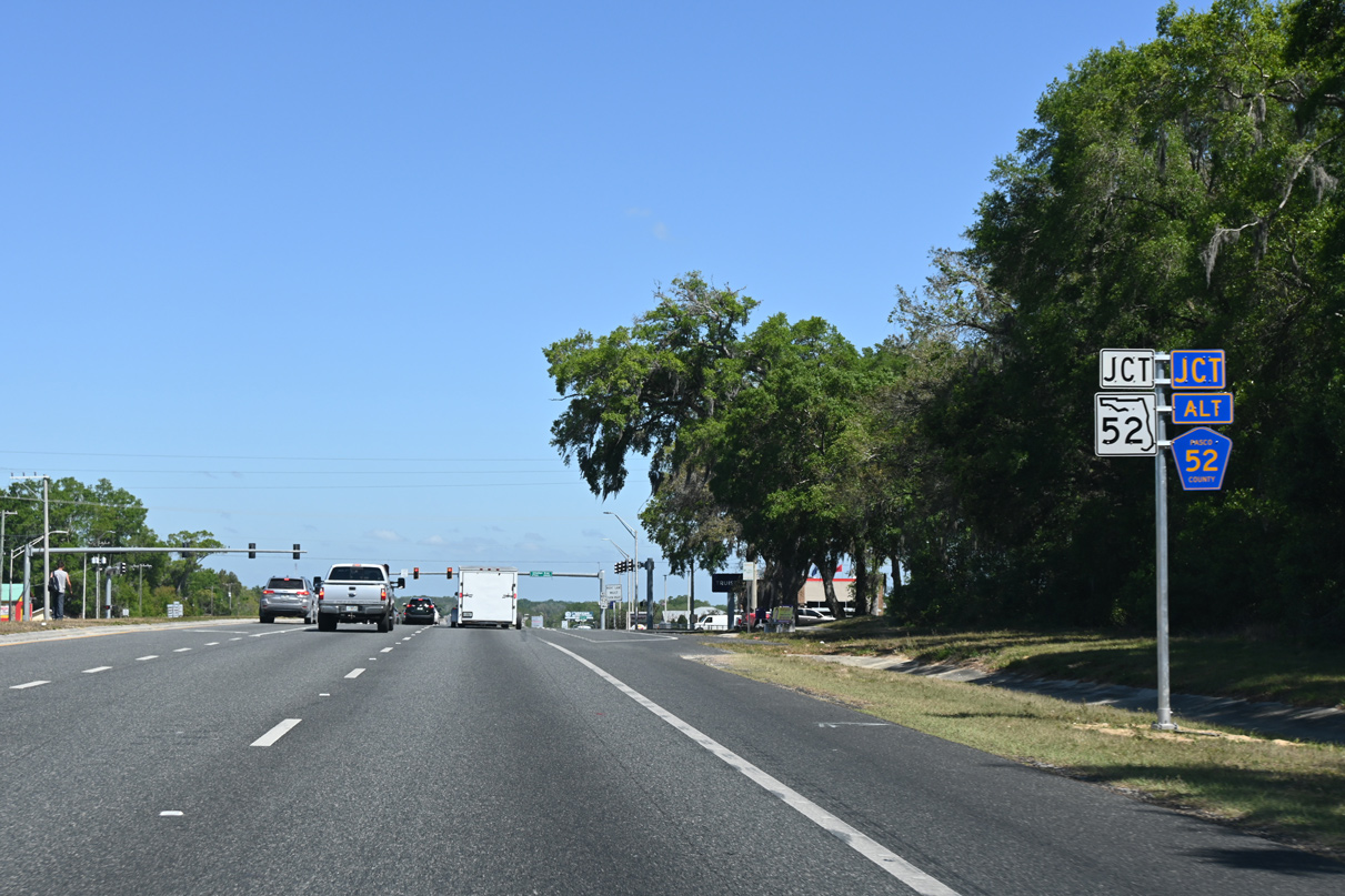
U.S. 98/301 meet the SR 52 west and CR 52 ALT east along Clinton Avenue in south Dade City. SR 52 is a four lane arterial traveling west to Land O's Lakes. CR 52 ALT links U.S. 98/301 with CR 35A (Old Lakeland Highway).
03/21/23

U.S. 98/301 continue north into the Dade City limits north of SR 52/CR 52 ALT (Clinton Avenue). An FDOT study evaluated realigning U.S. 98 northward to Clinton Avenue and west over CR 52 ALT to U.S. 301.
03/21/23

Morningside Drive stems east from a commercialized intersection with U.S. 98/301 one mile to CR 35 ALT (Old Lakeland Highway).
11/23/13
U.S. 98/301 proceed north into Dade City, where they split with 7th Street, former U.S. 98-301 Business.
11/23/13

Overheads precede the separation of 7th Street north to Downtown Dade City where U.S. 98/301 shift east onto a two lane bypass. Prior to 2006, 7th Street was U.S. 98-301 Business.
04/14/23

1.60 miles in length, the bypass taking U.S. 98/301 around the Dade City center is designated State Road 533.
04/14/23
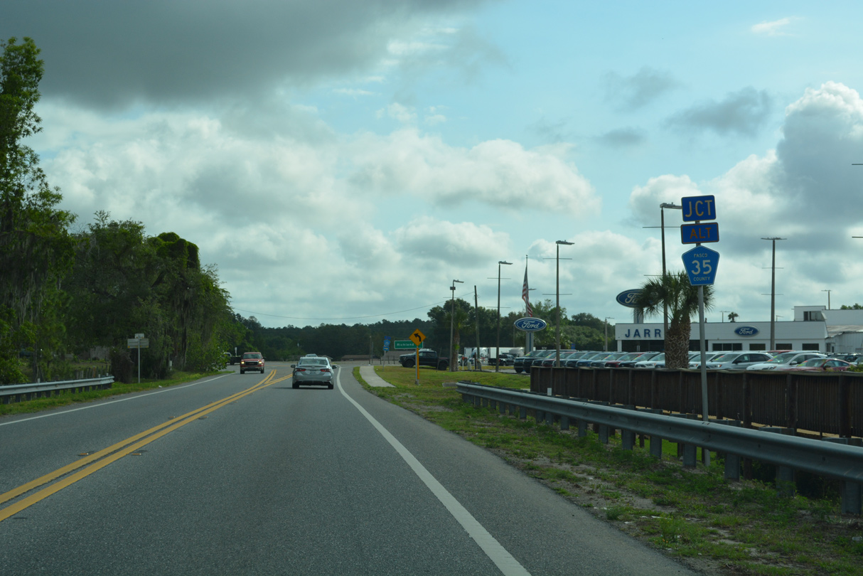
U.S. 98/301 angle northeast to meet the north end of CR 35A (Old Lakeland Highway).
04/14/23

CR 35A parallels a CSX Railroad line southeast from Dade City to the settlements of Ellerslie and Richland.
04/14/23

04/14/23

U.S. 98/301 run alongside the CSX Railroad line north from CR 35A to the east end of CR 52 along Meridian Avenue.
02/27/17
CR 52 replaced SR 52 west through Downtown Dade City when a new alignment for the state road opened to traffic south of the Pasco County seat in March 2023.
02/27/17
02/27/17

04/14/23

U.S. 98/301 shift west at 7th Street, where unsigned SR 533 ends and SR 35/700 take over for the US Highways north out of Dade City.
04/14/23

Unmarked along Lock Street, CR 578 travels 0.77 miles west from U.S. 98/301 to CR 41 (21st Street). CR 578 continues west from Dade City along Suwanee Way and Saint Joe Road.
04/14/23
Unmarked along Lock Street, CR 578 travels 0.77 miles west from U.S. 98/301 to CR 41 (21st Street). CR 578 continues west from Dade City along Suwanee Way and Saint Joe Road.
04/14/23

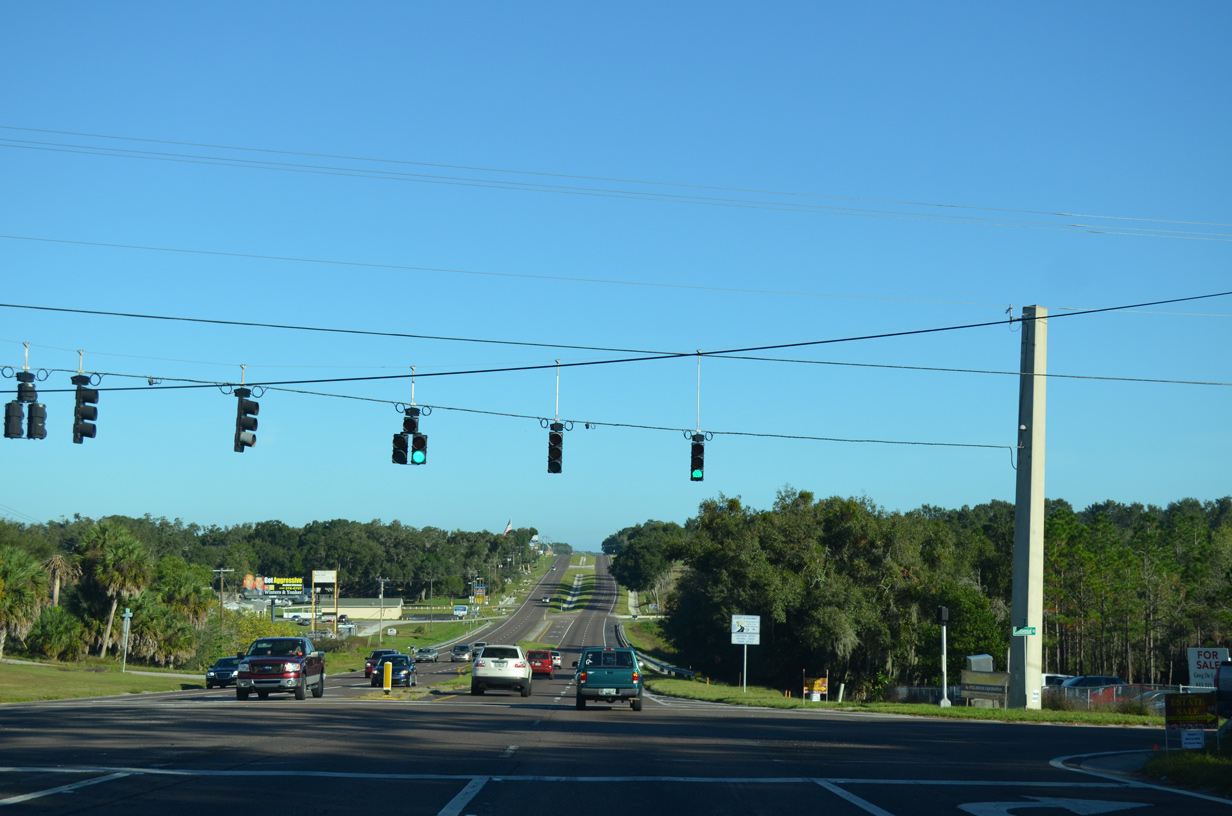
U.S. 98 and U.S. 301 diverge ahead of Trilby and Trilacoochee respectively. U.S. 98 overlaps with SR 50 west from Ridge Manor to Brooksville.
04/14/23
North
Wildwood, where U.S. 301 meets Florida's Turnpike, is 31 miles north of the split with U.S. 98.
10/18/08

Fire signals were added at the intersection of U.S. 301, Pasco County Road 575 (Trilby Road) east and SR 575 south at Trilacoochee in 2017. These were upgraded to conventional signal operation by 2022.
04/14/23

Pasco County Road 575 forms an L-shaped route 6.73 miles west to Trilby and CR 41 at Blanton. SR 575 connects U.S. 301 with nearby Lacoochee.
04/14/23
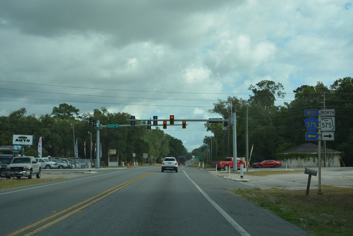
CR 575 upgrades to SR 575 between U.S. 301 and the Hernando County line, for a distance of 2.24 miles. Hernando County Road 575 (Burwell Road) extends the route north 2.05 miles to SR 50 at Withlacoochee State Forest.
04/14/23

U.S. 301 leaves Trilacoochee for agricultural areas preceding the Hernando County line.
02/09/14

Unincorporated Ridge Manor lies three miles ahead along U.S. 301 at SR 50. Wildwood, where U.S. 301 meets Florida's Turnpike, is another 30 miles away.
02/09/14
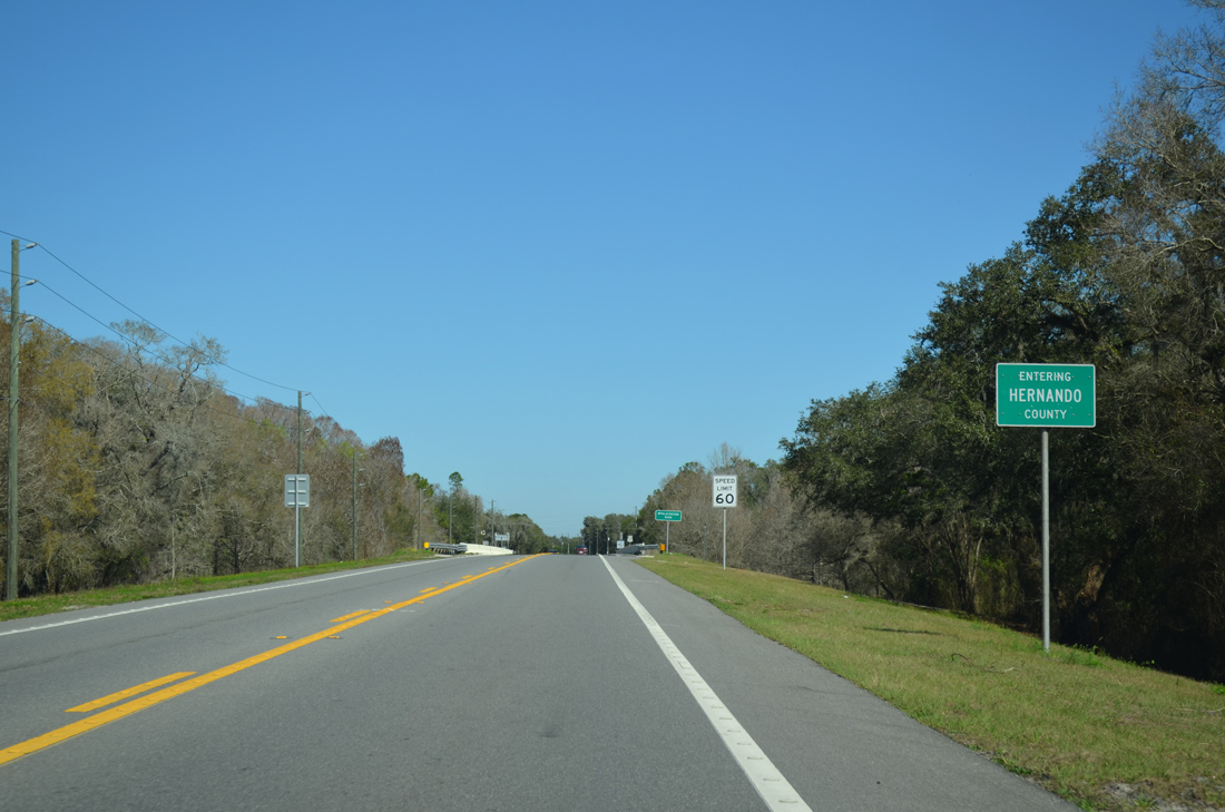
U.S. 301 enters the eastern wedge of Hernando County just ahead of the Withlacoochee River.
02/09/14


Photo Credits:
10/18/08, 11/23/13, 02/09/14, 02/27/17, 09/04/17, 07/27/19, 09/10/19, 05/30/20, 09/03/20, 03/21/23, 04/14/23 by AARoads
Connect with:
U.S. 98
State Road 52
State Road 54
State Road 56
State Road 575 / County Road 575
Pasco County Road 35A
County Road 41/541
Count Road 52 ALT - Clinton Avenue
County Road 54 - Zephyrhills
Pasco County Road 530
Page Updated 04-17-2023.