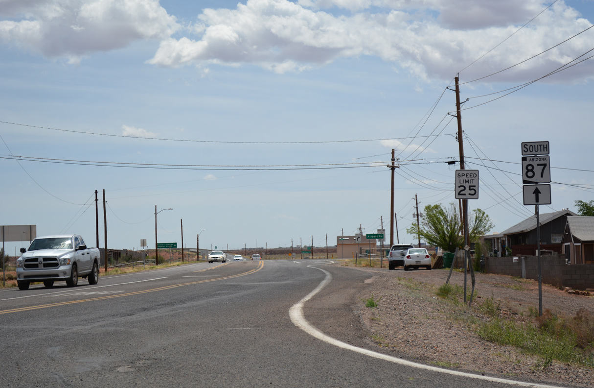
Arizona State Route 87 is a 287.26 mile long highway that has been extended numerous times. Beginning at Interstate 10 in Picacho, SR 87 travels north through Coolidge, paralleling I-10 into Chandler.
Between Chandler and Mesa, SR 87 is Arizona Avenue/Country Club Drive, which is now maintained by the cities of Chandler and Mesa within their boundaries.
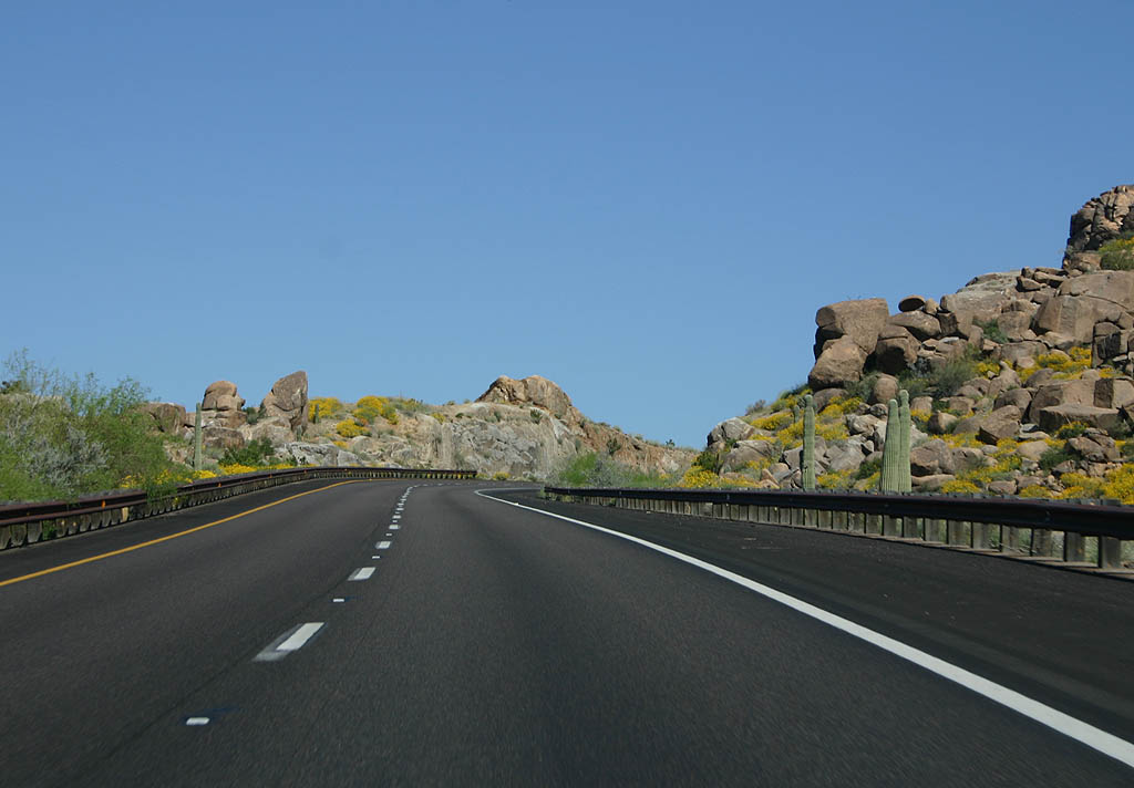
North of Loop 202, SR 87 becomes the Beeline Highway, so named because it makes a "Beeline" for the high country of Payson. North of Payson, the highway continues across the Mogollon Rim to Winslow. SR 87 heads northeast from Historic U.S. 66 and I-40 along Ives Mesa to the Navajo Nation. The state route concludes within the Hopi Indian Reservation at SR 264 and Second Mesa.
SR 87 was designated in 1927 between SR 84 and Chandler. SR 87 retained the same route until 1959, when the Beeline highway was designated to Payson and Strawberry. SR 87 was then extended in 1968 to Second Mesa, incorporating what was SR 65.
|
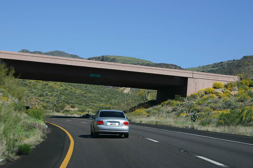
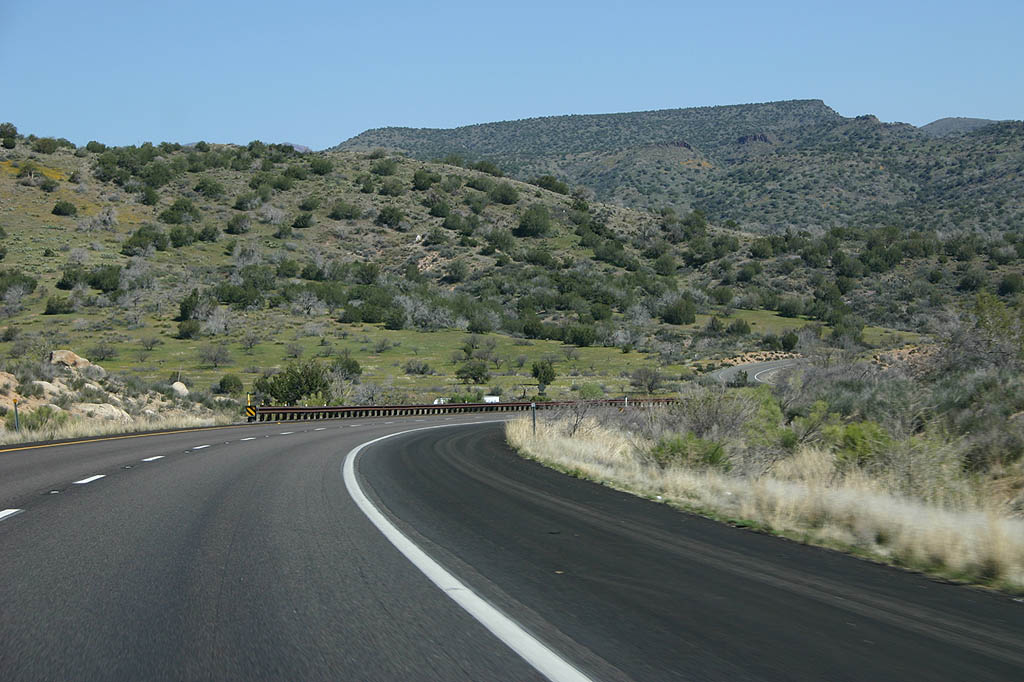
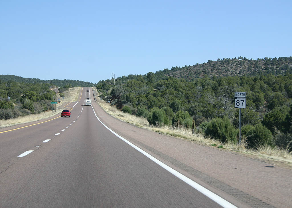
| North of Loop 202, SR 87 meets Gilbert Road. 03/29/08 |
|
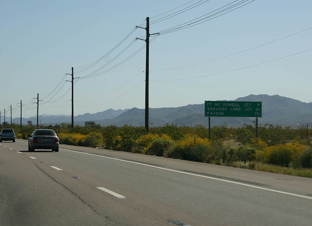
| Distance sign to Ft. McDowell Junction (9 miles),
Saguaro Lake Junction (21 miles) and Payson (70
miles). SR 87 is on Salt River Pima Maricopa
Indian Community land here. 03/29/08 |
|
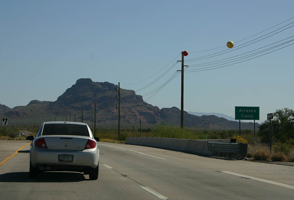
| SR 87 crosses the Arizona Canal here. 03/29/08 |
|
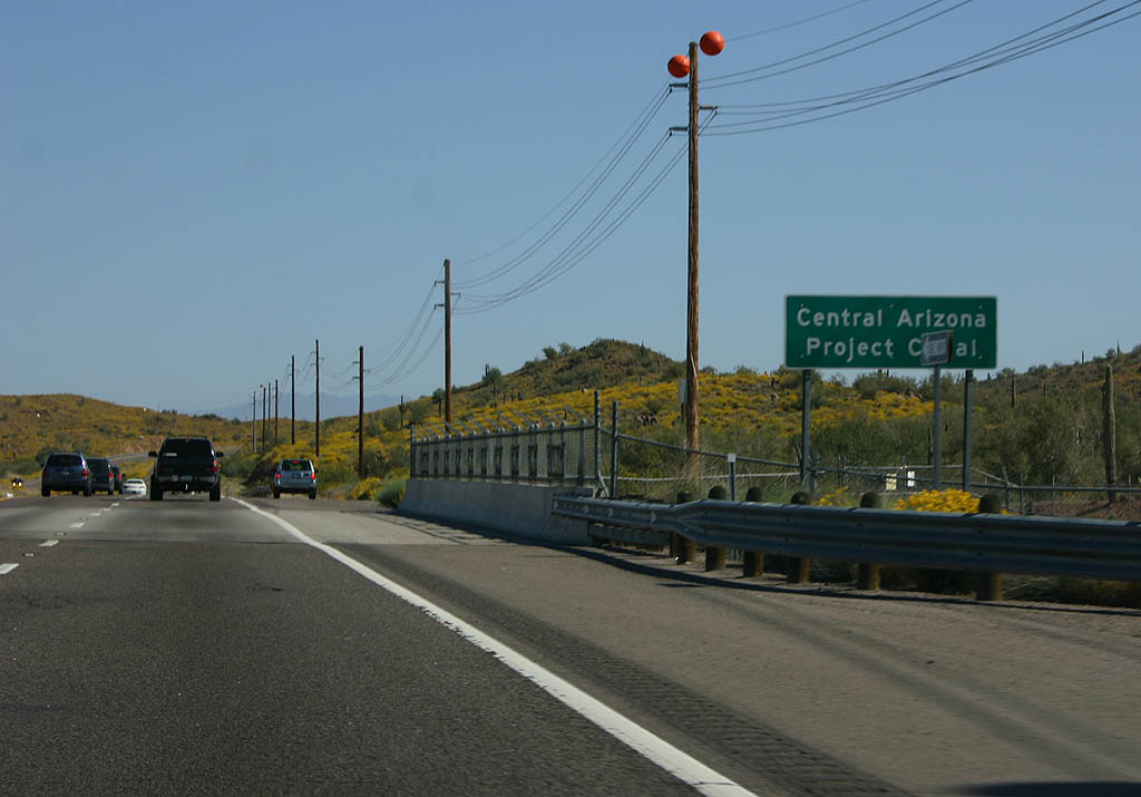
| Just after crossing the Arizona Canal, SR 87 spans the Central Arizona Project canal. 03/29/08 |
|
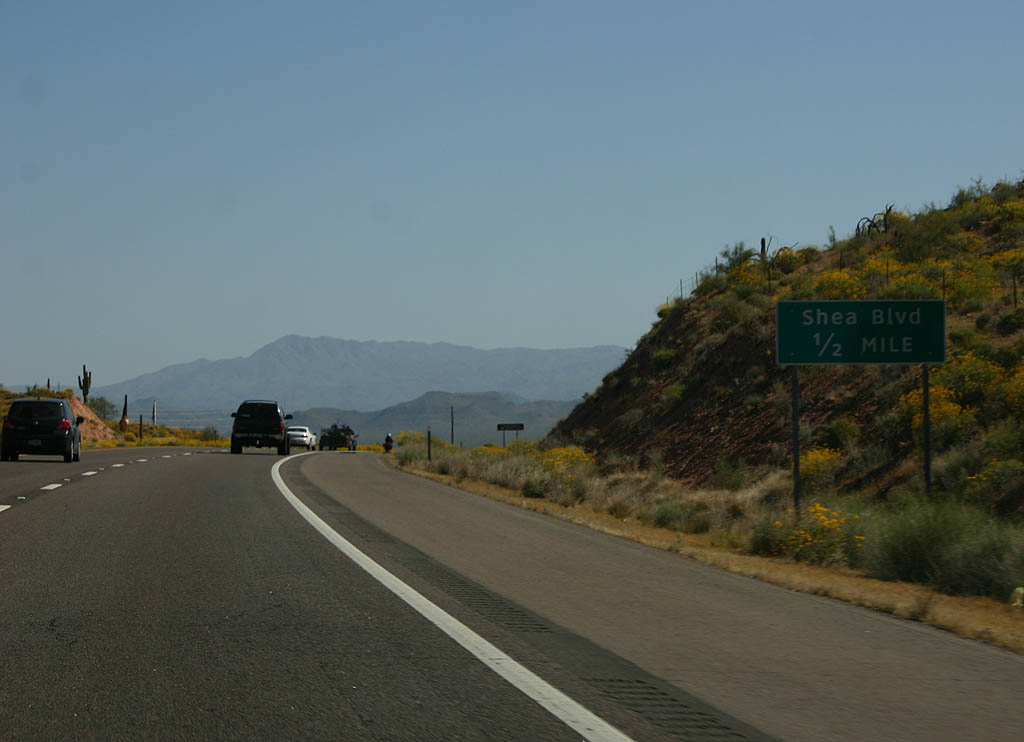
| Advance signage for Shea Blvd, 1/2 mile. 03/29/08 |
|
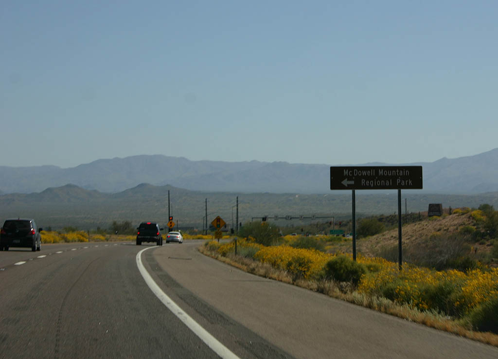
| Shea Boulevard leads from SR 87 to McDowell Mountain Regional Park 03/29/08 |
|
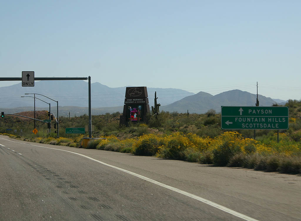
| Shea Boulevard connects SR 87 with Scottsdale and Fountain Hills while the state route continues north to Payson. 03/29/08 |
|
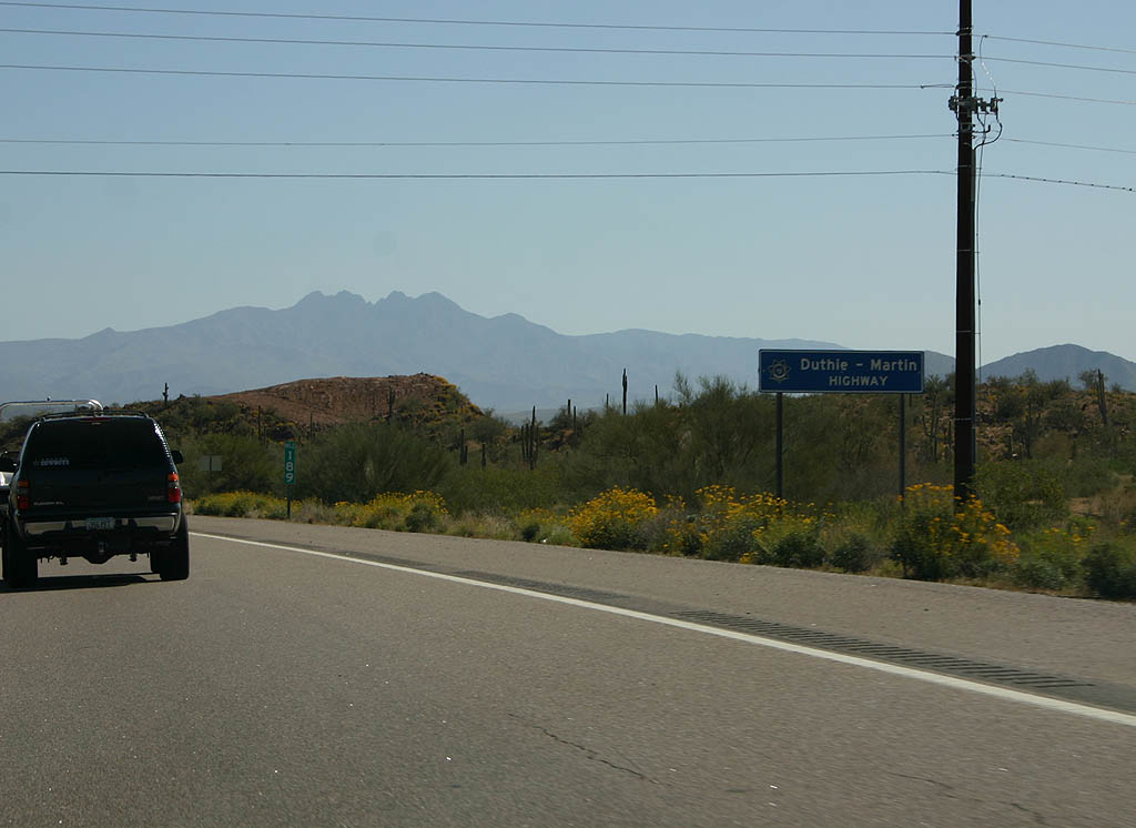
| SR 87 is named the Duthie-Martin Highway
between Shea Blvd and Payson. The road was renamed
in 1996 after fallen officers Gib Duthie and Robert
Martin, who both lost their lives while working
on the highway. 03/29/08 |
|
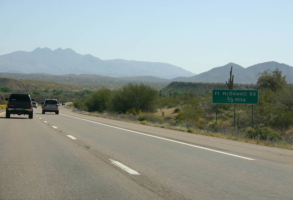
| Advance signage for Ft. McDowell Road, 1/2 mile.
SR 87 is now in the Ft. McDowell Indian Reservation. 03/29/08 |
|
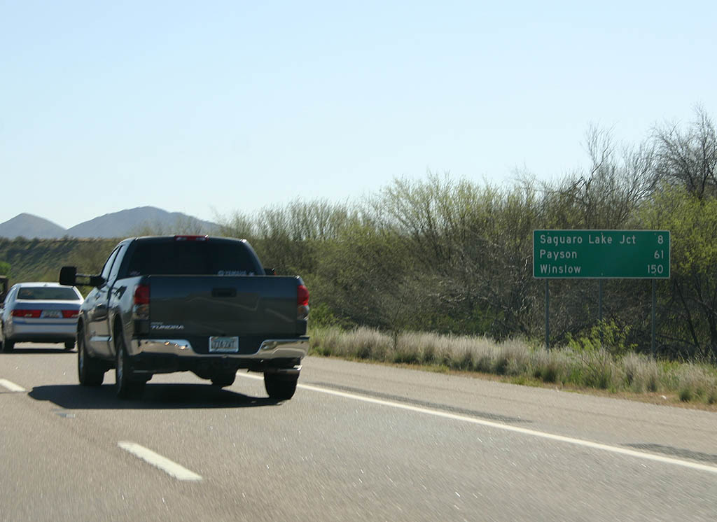
| Distance sign for Saguaro Lake Junction (8 miles),
Payson (61 miles) and Winslow (150 miles). 03/29/08 |
|
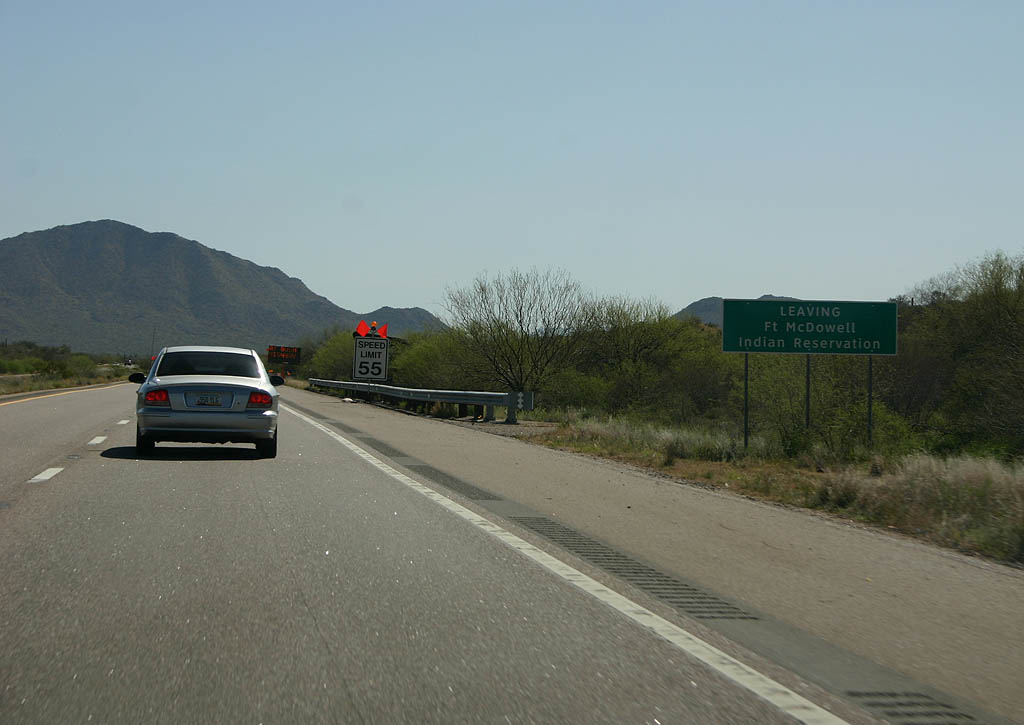
| SR 87 leaves the Ft. McDowell Indian Reservation
and enters the Tonto National Forest here. 03/29/08 |
|
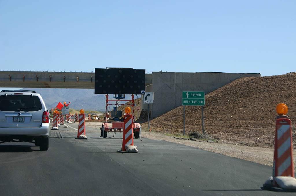
| SR 87 meets the Bush Highway here. The Bush
Highway is the road to Saguaro Lake, and for many
years, this was a simple intersection. Due to the
high number of accidents, ADOT converted this to
a grade separated interchange during 2008, and the
construction is seen here. 03/29/08 |
|
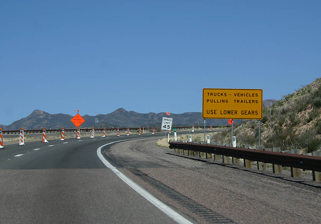
| At the time of these photos, SR 87 was undergoing a shoulder widening project. The northbound lanes are the original highway, and the southbound lanes were added in widening projects. 03/29/08 |
|
| Turn left for Sugarloaf Mtn and Sycamore Creek,
or turn right to reach the Four Peaks Trailhead.
SR 87 is now in the Tonto National Forest. 03/29/08 |
|
| SR 87 drops into Mesquite Wash after this low hill. 03/29/08 |
|
| Reassurance marker for SR 87. 03/29/08 |
|
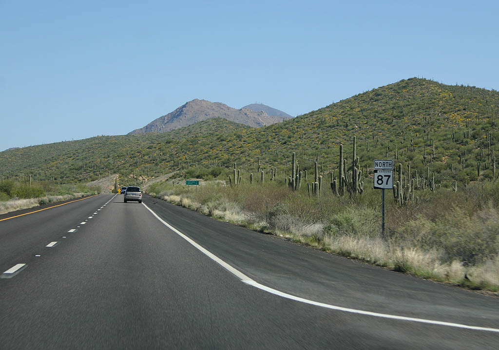
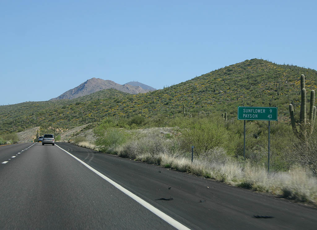
| Distance sign to Sunflower (9 miles) and Payson
(43 miles). 03/29/08 |
|
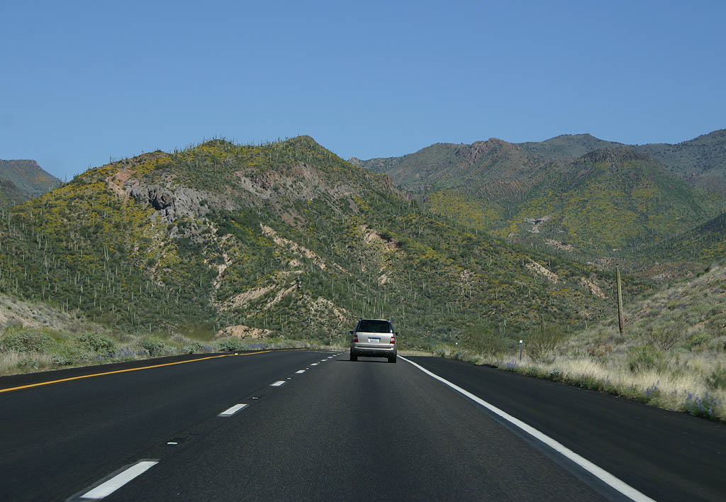
| SR 87 crosses through an unnamed wash and
descends into Sycamore Creek Canyon. 03/29/08 |
|
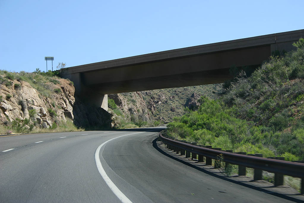
| SR 87 has a short wrong-way crossover section.
This bridge marks the beginning of the section,
where the southbound lanes are on the east side
of the road. 03/29/08 |
|
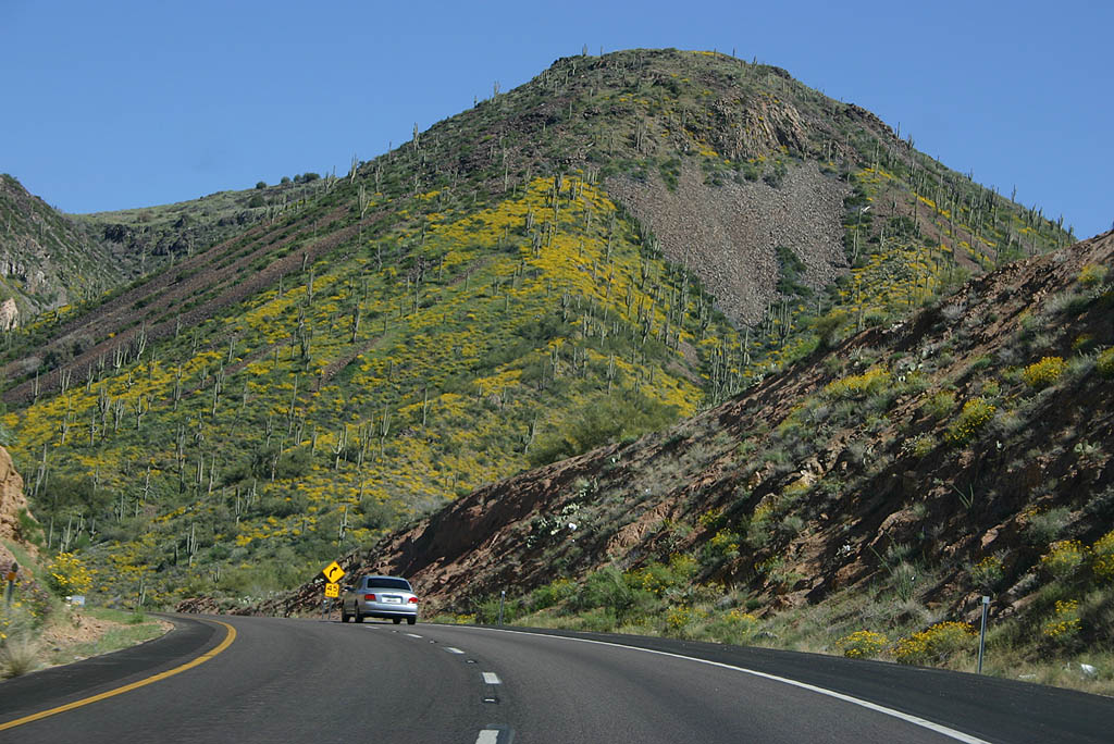
| Black Mesa is directly ahead of SR 87 as
it winds northward. 03/29/08 |
|
| SR 87 nothbound follows the original roadway,
with significantly more curves than the newer southbound
roadway. 03/29/08 |
|
| This section of highway was converted to a four
lane highway in 1995. 03/29/08 |
|
| This bridge marks the end of the wrong-way section
of SR 87. 03/29/08 |
|
| SR 87 does a wide sweeping descent to Sunflower
here. 03/29/08 |
|
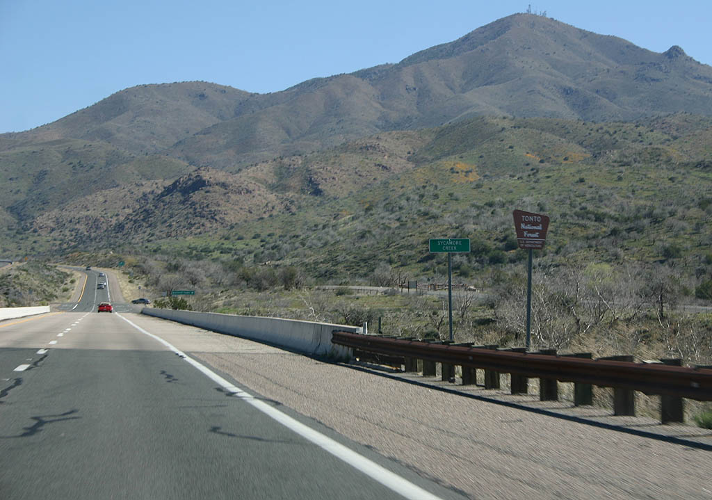
| SR 87 crosses Sycamore Creek here. This marks
the end of the 1996 widening project and the beginning
of the 2003 realignment. 03/29/08 |
|
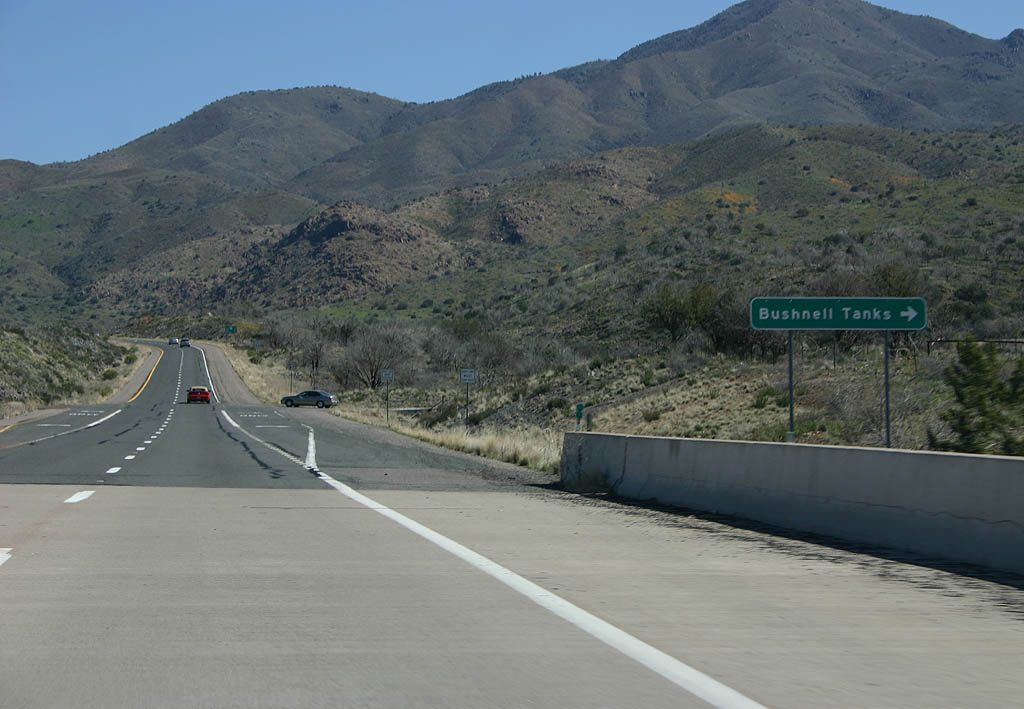
| Turn right for the Bushnell Tanks. 03/29/08 |
|
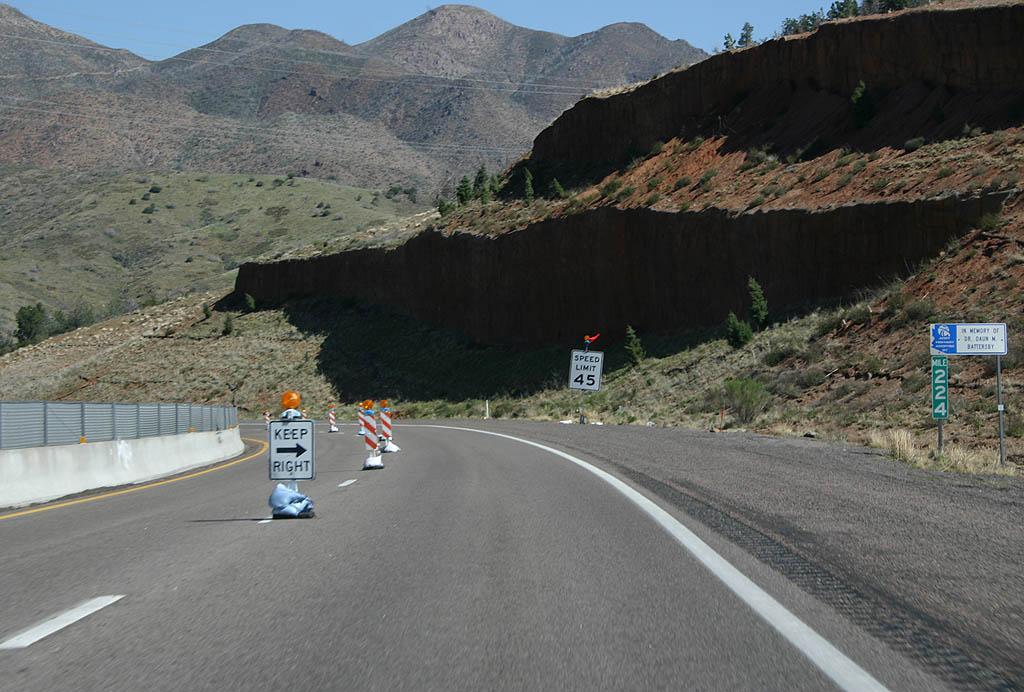
| Distance sign to SR 188 (19 miles), Rye (24
miles) and Payson (34 miles). 03/29/08 |
|
| On March 21, 2008, SR 87 southbound suffered a landslide that caused the closure of the entire roadway for a week. These photos were taken shortly after the roadway reopened, when traffic was restricted to one lane each direction using the northbound lanes. 03/29/08 |
|
| This section of SR 87 was rebuilt in 2003
to the present-day alignment as a four lane road
to replace the original SR 87. 03/29/08 |
|
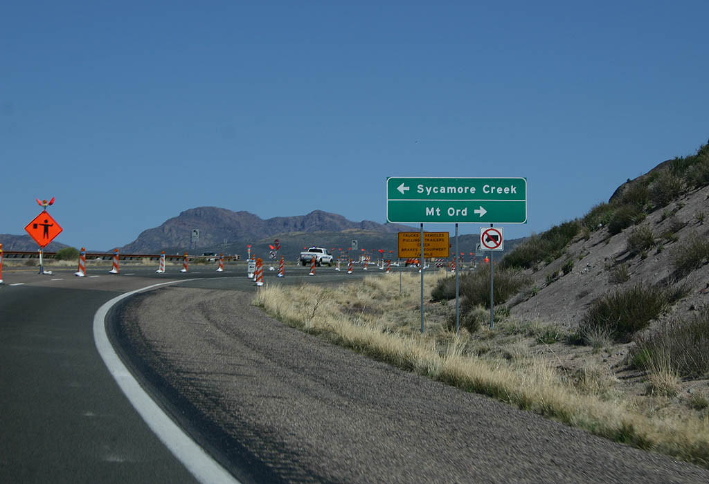
| Turn left for the road down to Sycamore Creek
and the original Beeline Highway, or turn right
for Mt. Ord. 03/29/08 |
|
| The saddle west of Mt. Ord is a high point along
the 2003 road, at an elevation of 4565 feet. 03/29/08 |
|
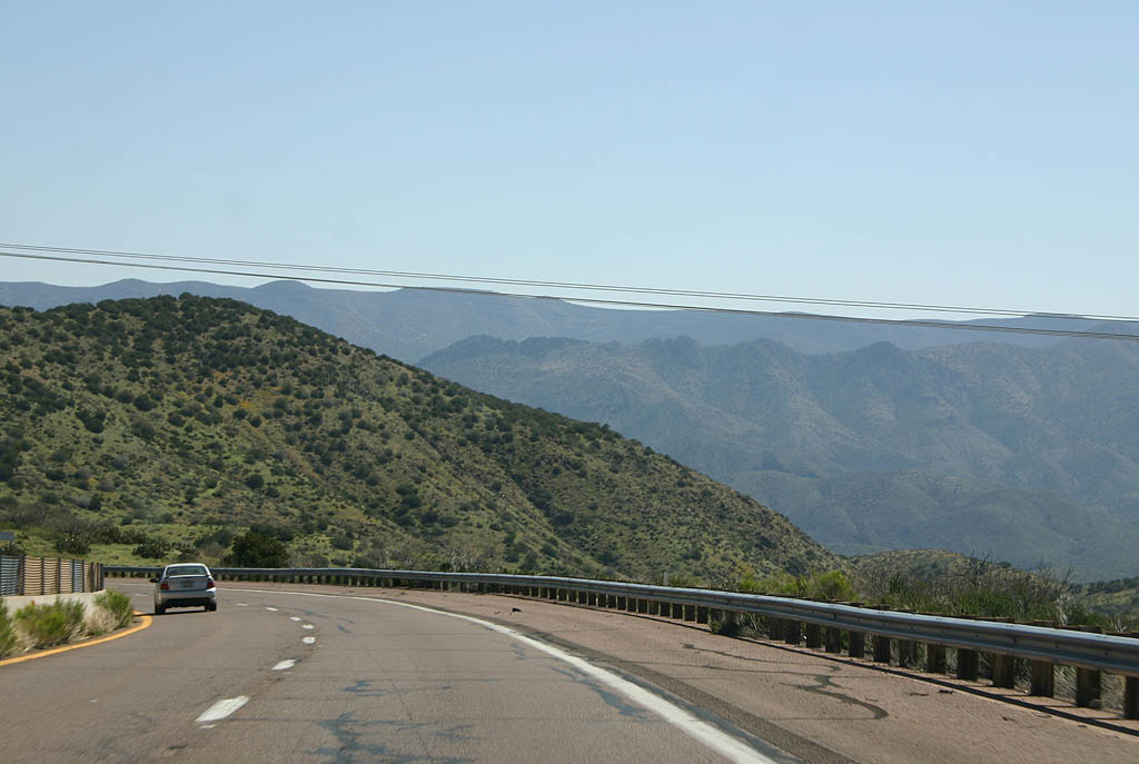
| SR 87 begins a descent down to Slate Creek
ahead. This section of the road goes through the
Cottonwood Basin, where the landslide happened in
2008. 03/29/08 |
|
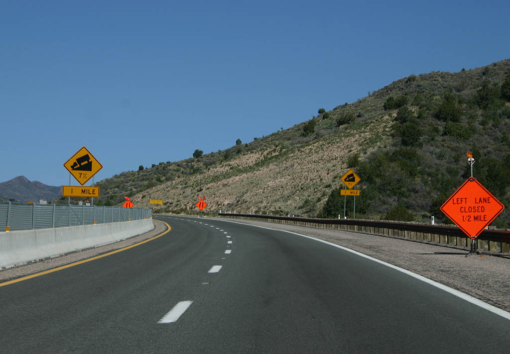
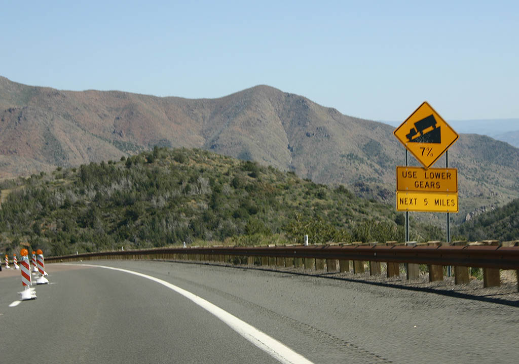
| It is a wild 7% grade down to the botton of Slate
Creek canyon. 03/29/08 |
|
| The roadcuts made during construction of the 2003
highway are quite impressive, but somewhat unstable. 03/29/08 |
|
| Now at the bottom of the grade, SR 87 is
back down to the 3400 foot level in Slate Creek
Canyon. 03/29/08 |
|
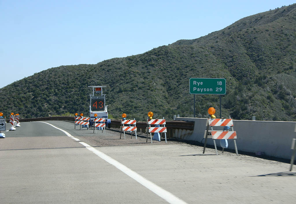
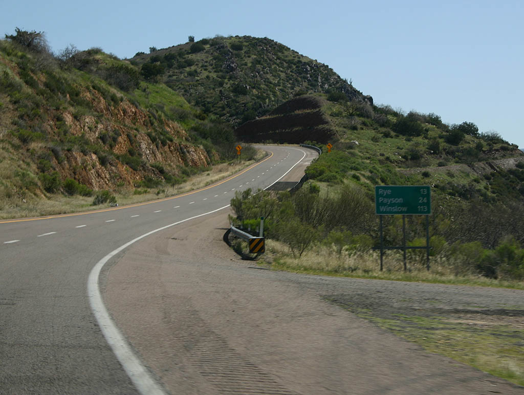
| Distance sign to Rye (13 miles), Payson (24 miles)
and Winslow (113 miles). 03/29/08 |
|
| SR 87 winds around the side of Pine Butte. 03/29/08 |
|
| SR 87 descends into Gold Creek Canyon on
its way to SR 188. 03/29/08 |
|
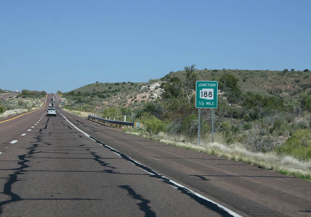
| Advance signage for SR 188, 1/2 mile. 03/29/08 |
|
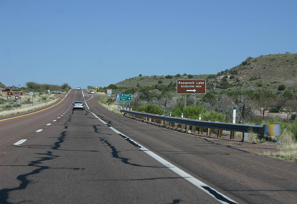
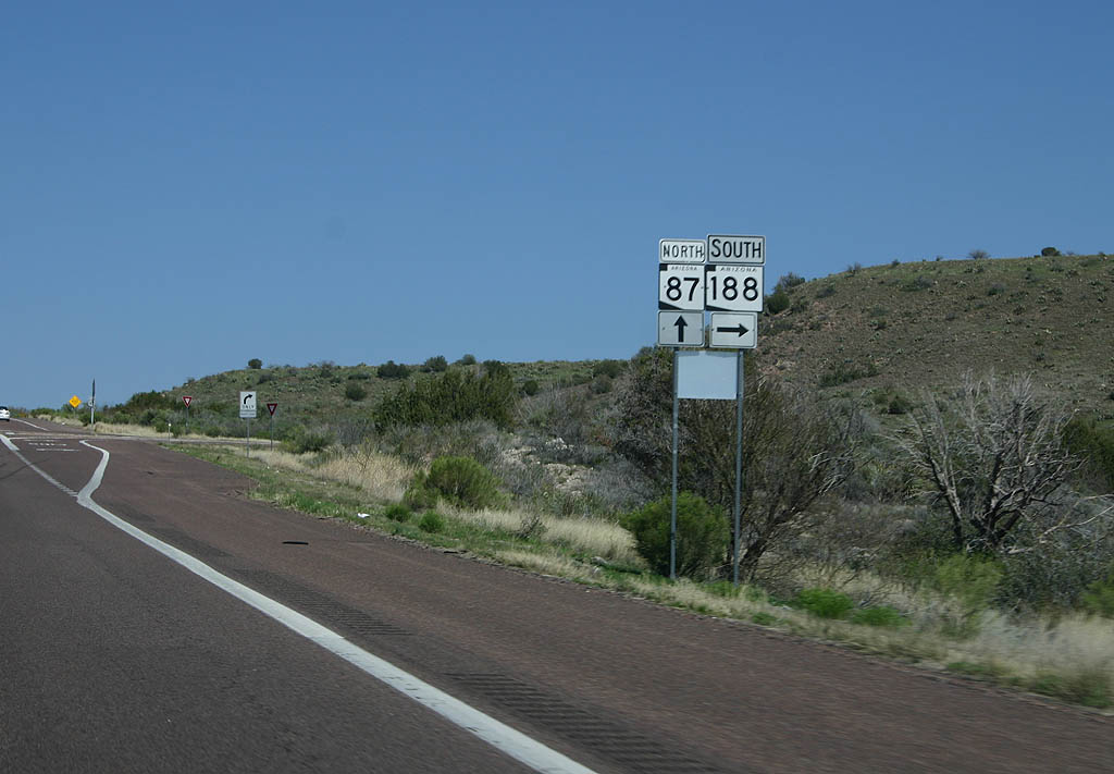
| Turn right on SR 188 to reach Roosevelt Lake. 03/29/08 |
|
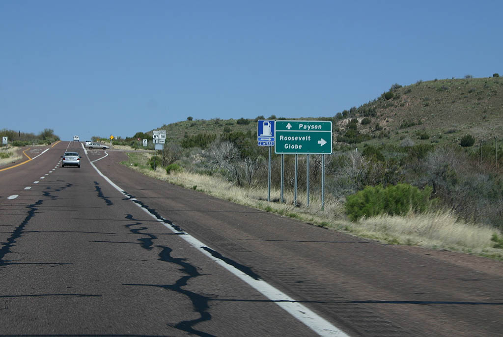
| Turn right for Roosevelt and Globe, or continue
ahead for Payson. 03/29/08 |
|
| SR 188 departs from SR 87 here for Roosevelt Dam and Globe. 03/29/08 |
|
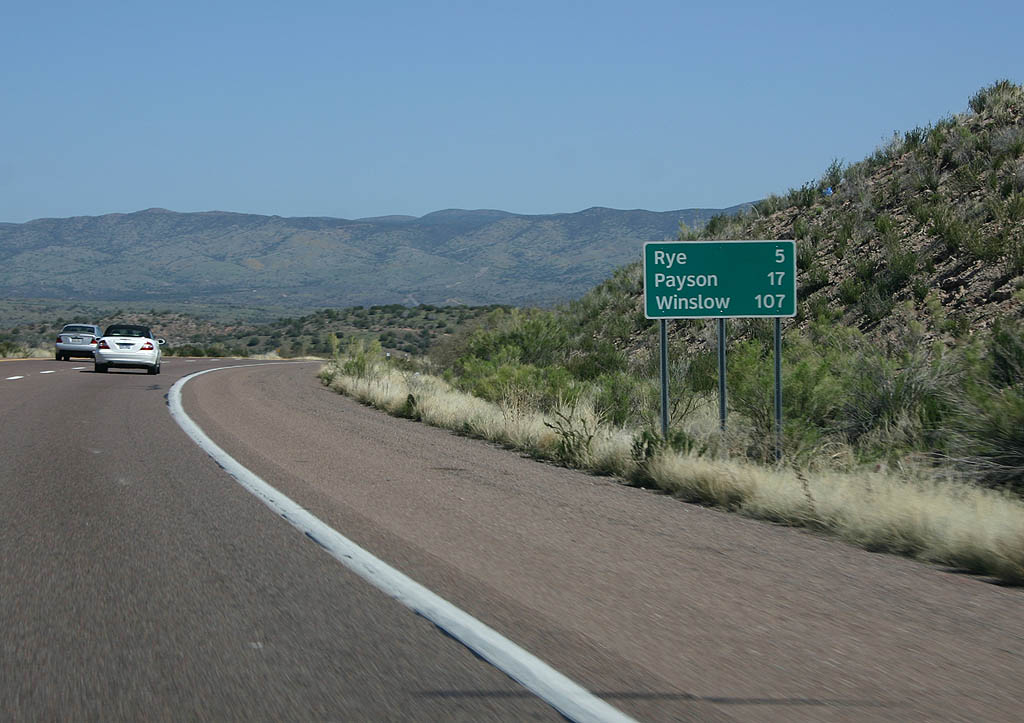
| Distance sign to Rye (5 miles), Payson (17 miles)
and Winslow (107 miles). 03/29/08 |
|
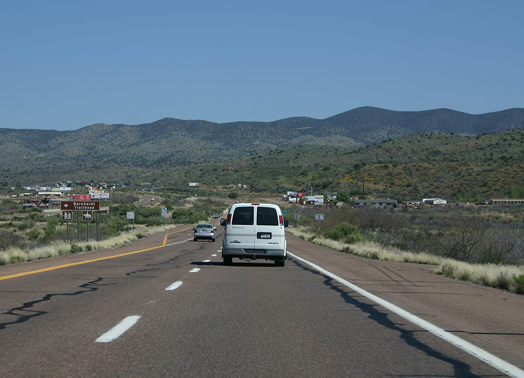
| Turn left for the Barnhardt Trailhead. 03/29/08 |
|
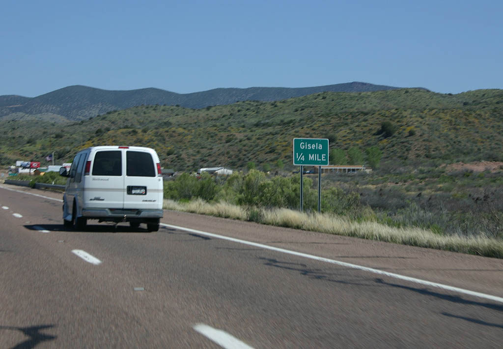
| Advance signage for the town of Gisela, 1/4 mile. 03/29/08 |
|
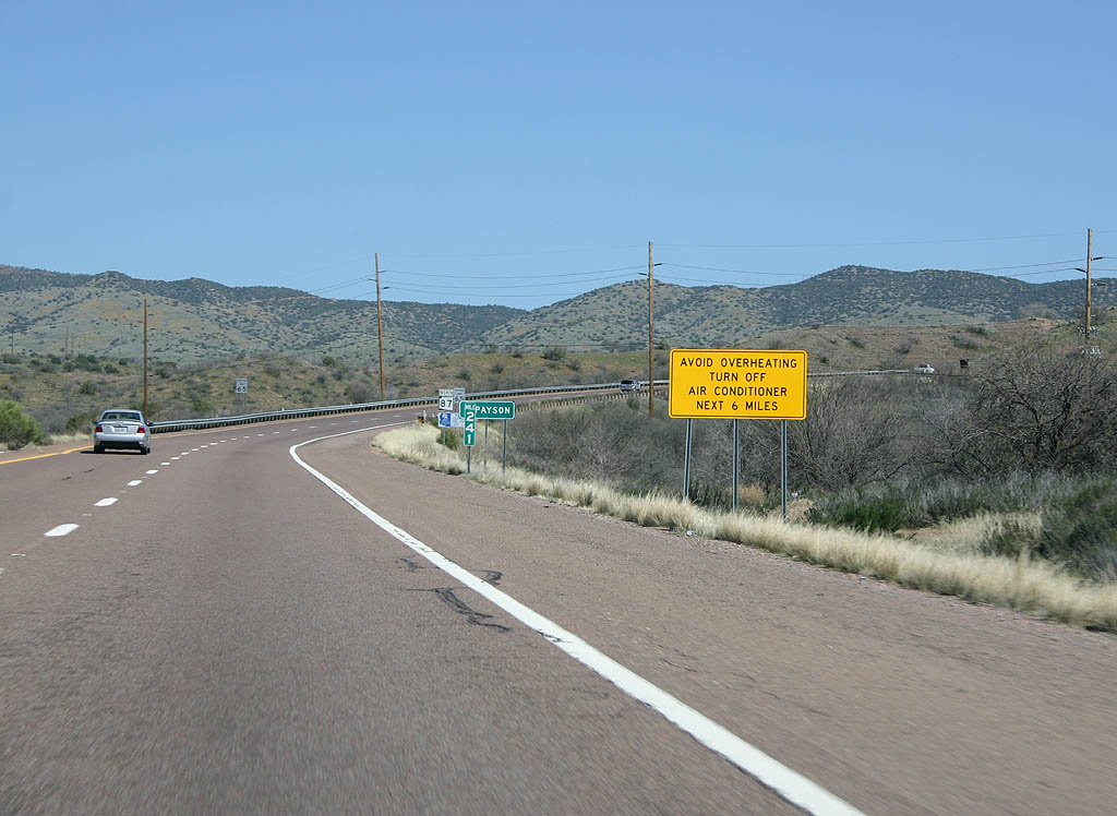
| The final grade to Payson is quite steep, and
travellers are advised to turn off their air conditioners
on the grade. 03/29/08 |
|
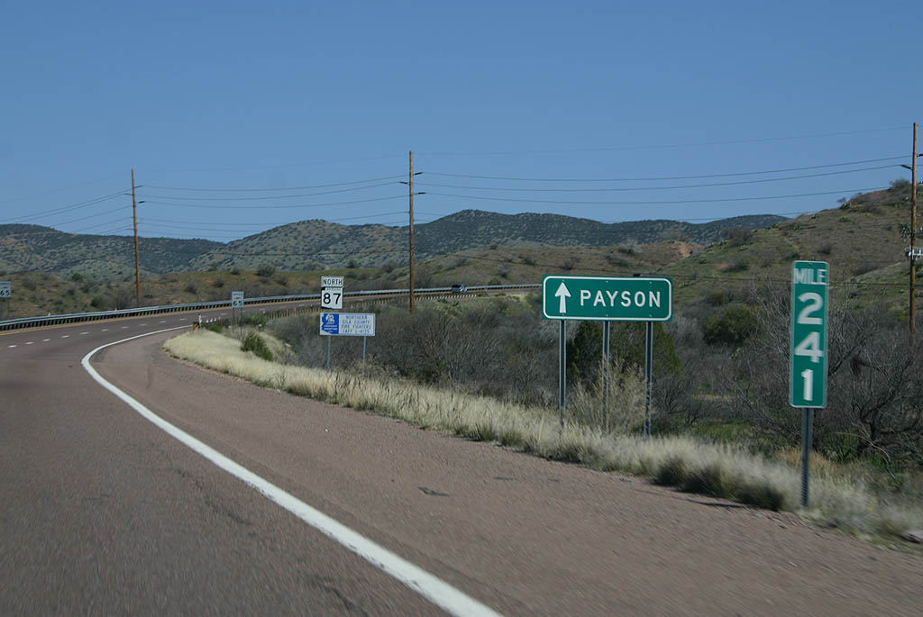
| Continue ahead on SR 87 to Payson. 03/29/08 |
|
| SR 87 climbs a ridgeline between Hog Canyon and Sycamore Canyon northbound. This section was built rather early compared to the rest of the four lane highway, and features a wide separation between the northbound and southbound lanes. 03/29/08 |
|
| Reassurance marker for SR 87. 03/29/08 |
|
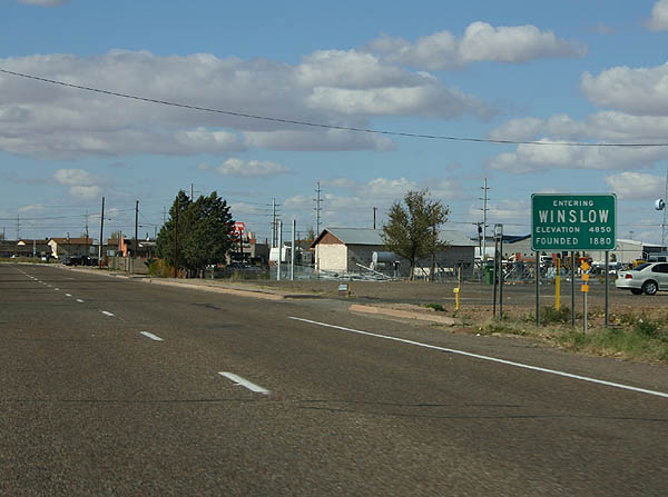
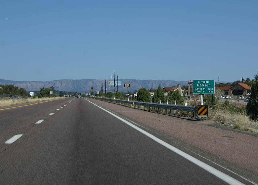
| SR 87 enters the town of Payson here. Payson
is a popular summertime getaway for Phoenix residents,
and features numerous traveller services. 03/29/08 |
|
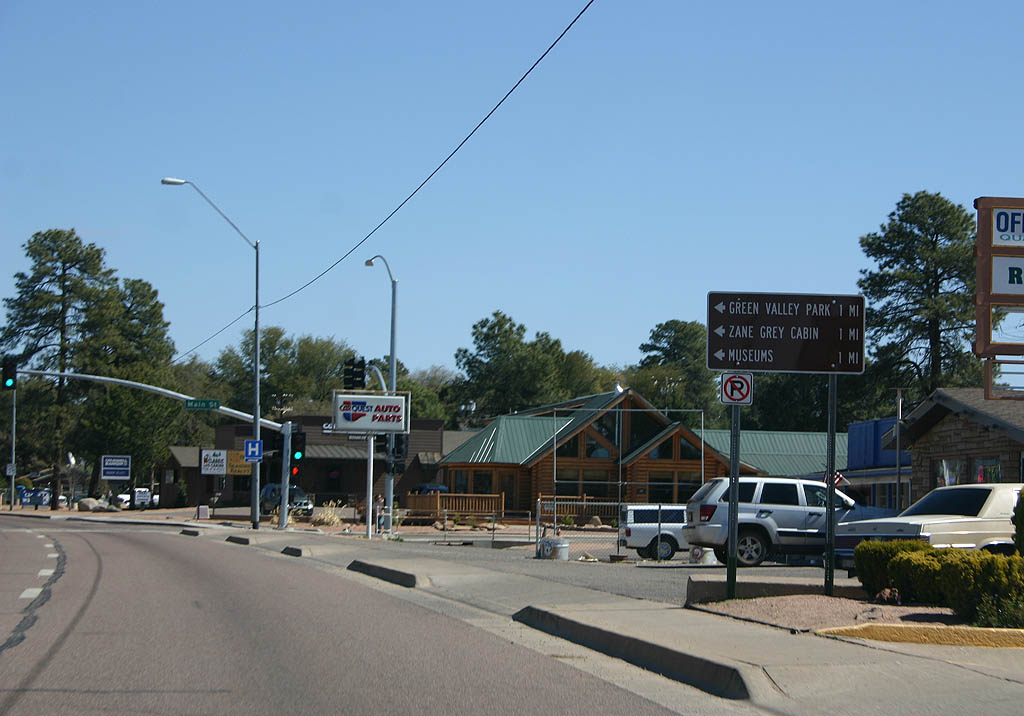
| Turn left for Green Valley Park, the Zane Grey
Cabin and local museums. SR 87 is the main
street through Payson. 03/29/08 |
|
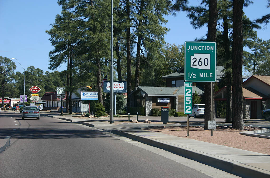
| Advance signage for SR 260, 1/2 mile. 03/29/08 |
|
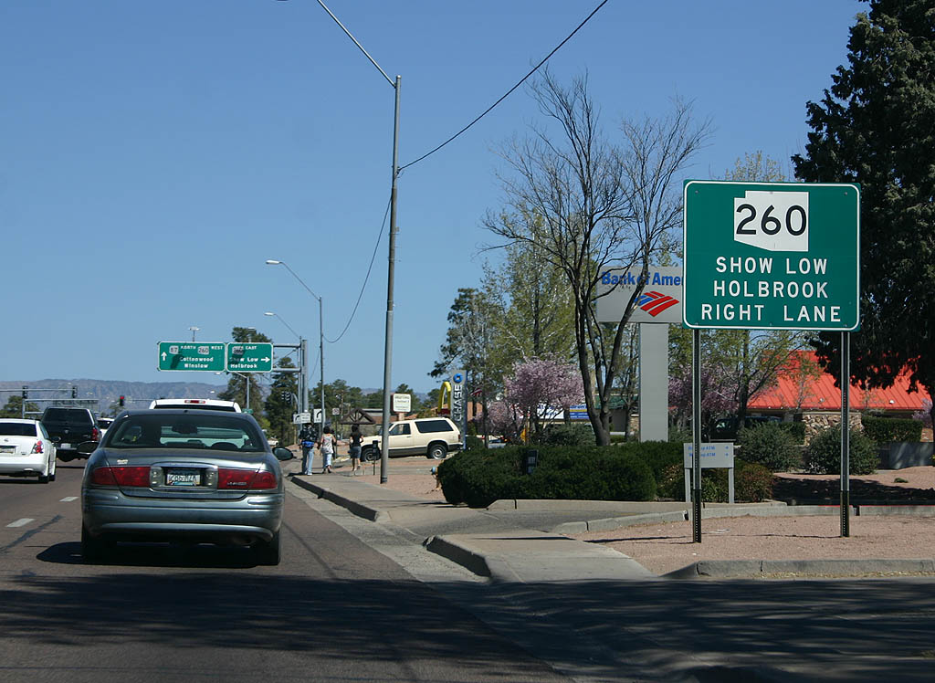
| Use the right lane for SR 260 eastbound to
Show Low and Holbrook. 03/29/08 |
|
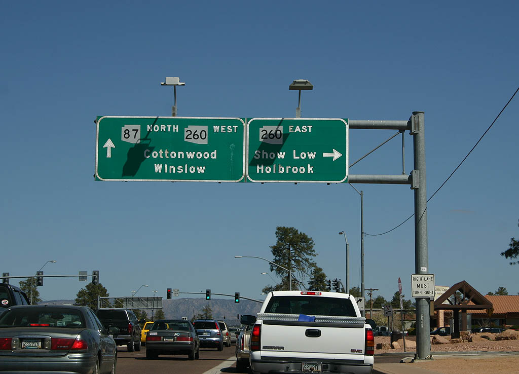
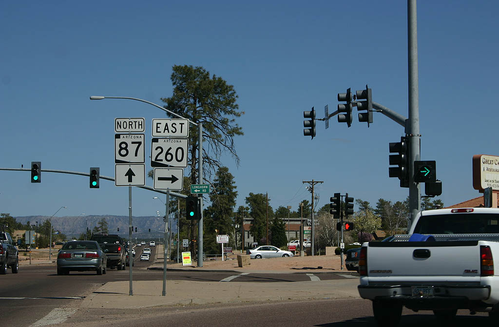
| Continue ahead on SR 87 northbound and Arizona
260 westbound to Winslow and Cottonwood, or turn
right on SR 260 to Show Low and Holbrook. 03/29/08 |
|
| SR 260 eastbound separates from SR 87
northbound here. 03/29/08 |
|
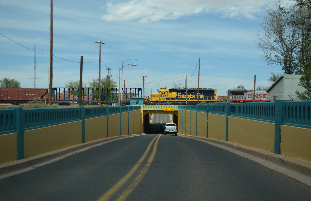
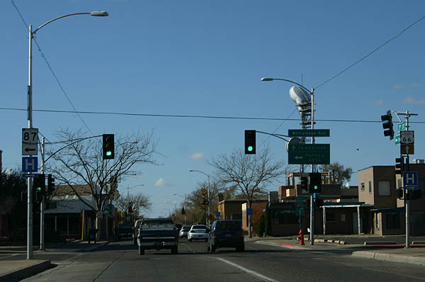
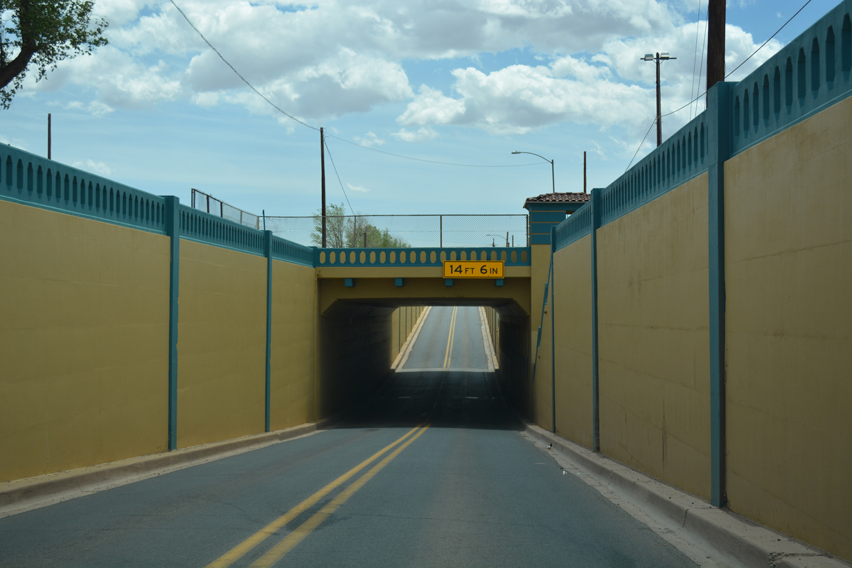
| Lowering through a subway below the BNSF Railroad yard, SR 87/99 overlap northward onto Williamson Avenue at Downtown Winslow. 04/27/17 |
|
| The subway along SR 87/99 north in Winslow was built in 1936. 04/27/17 |
|
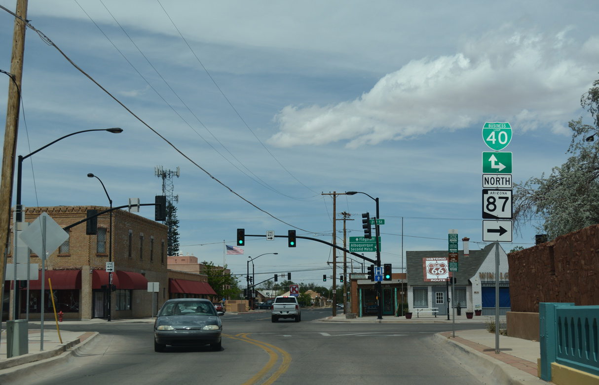
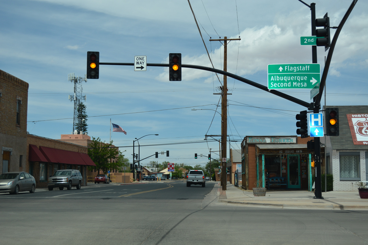
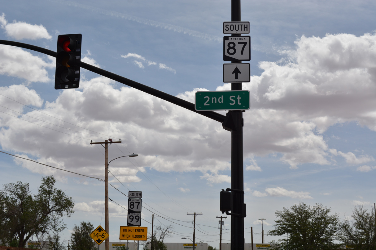
| SR 87 parts ways with SR 99 (Williamson Avenue) alongside Business Loop I-40/Historic U.S. 66 (2nd Street) east from Downtown Winslow. 04/27/17 |
|
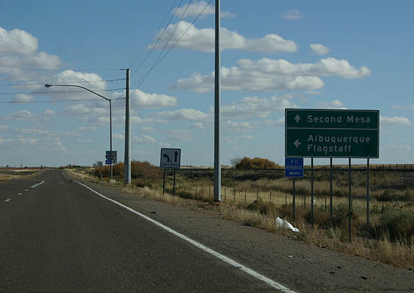
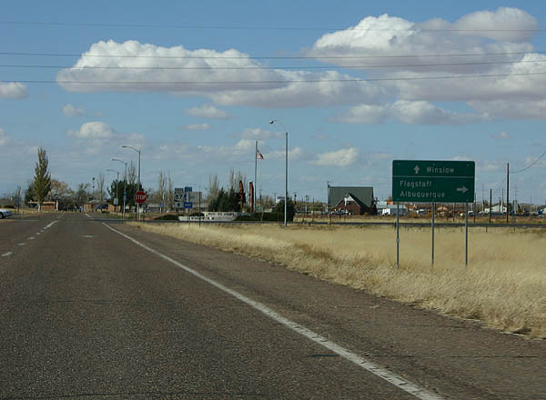
| SR 87 continues northeast from Winslow to Second Mesa. Traffic to I-40 is directed onto Business Loop I-40 east for Albuquerque, New Mexico and west on the business loop and SR 99 north for I-40/U.S. 180 to Flagstaff. 04/27/17 |
|
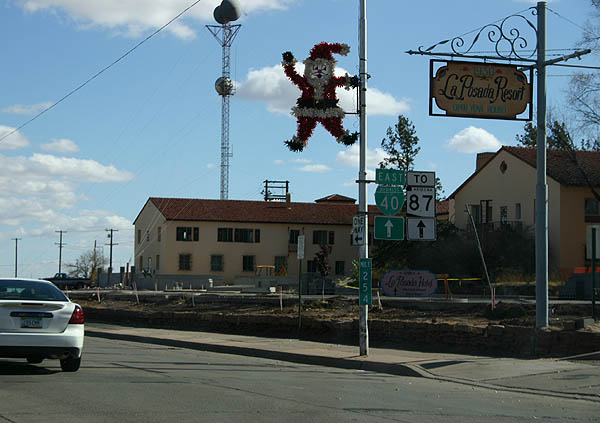
| Confirming markers for SR 87/Business Loop I-40 and an old U.S. 66 milepost 254 formerly posted along 2nd Street east at Apache Avenue, one block from SR 99 (Williamson Avenue) in Winslow. 11/12/06 |
|
| Business Loop I-40/SR 87 form a couplet along 2nd Street east and 3rd Street west to a point just ahead of Transcon Lane north to I-40/U.S. 180. 11/12/06 |
|
| Business Loop I-40 turns north from SR 87 along Transcon Lane to reconnect with I-40/U.S. 180 at Exit 255. 11/12/06 |
|
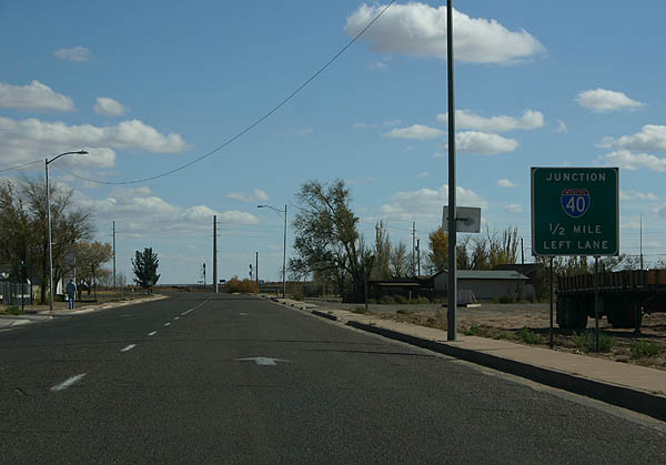
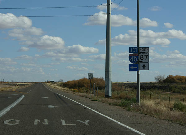
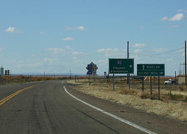
| SR 87 continues along Historic U.S. 66 east across the Little Colorado River before turning northeast to I-40/U.S. 287 at Exit 257 en route to Second Mesa. 11/12/06 |
|
| Highway 66 (Old U.S. 66) ties into SR 87 where it overtakes Historic U.S. 66 west from I-40 into Winslow. 11/12/06 |
|
| SR 87/Historic U.S. 66 cross the Little Colorado River west into Winslow, next meeting Business Loop I-40 (Transcon Lane) east to adjacent I-40/U.S. 180. 11/12/06 |
|
| Business Loop I-40 concludes 0.35 miles north of SR 87 at the diamond interchange joining Transcon Lane with I-40/U.S. 180. 11/12/06 |
|
| Business Loop I-40 west and SR 87 south combine along 3rd Street west to Downtown Winslow. 11/12/06 |
|
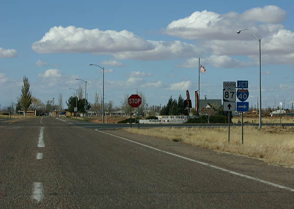
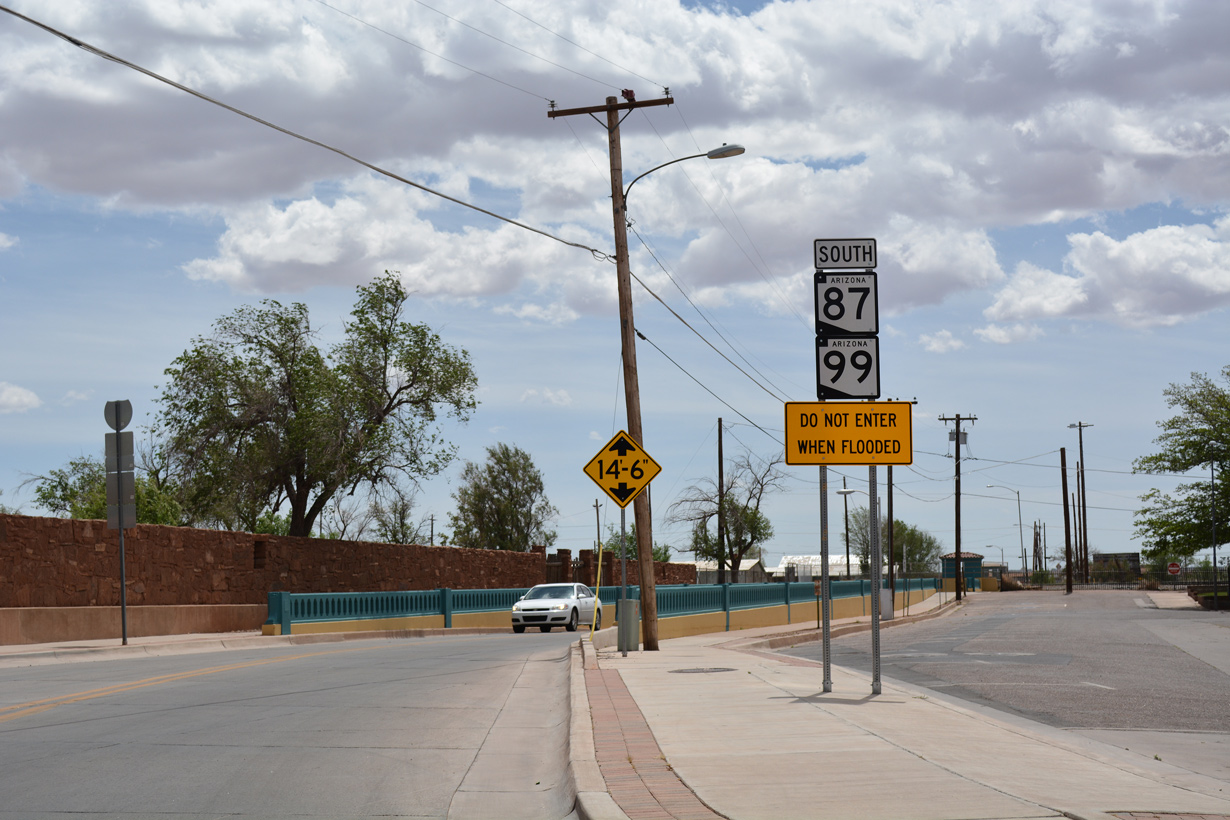
| SR 87 separates from Business Loop I-40 (3rd Street) at Williamson Avenue while SR 99 follows Historic U.S. 66 west out from Downtown Winslow. 11/12/06 |
|
| SR 87 (Williamson Avenue) combines with SR 99 south beyond Historic U.S. 66 (2nd Street) eastbound. 04/27/17 |
|
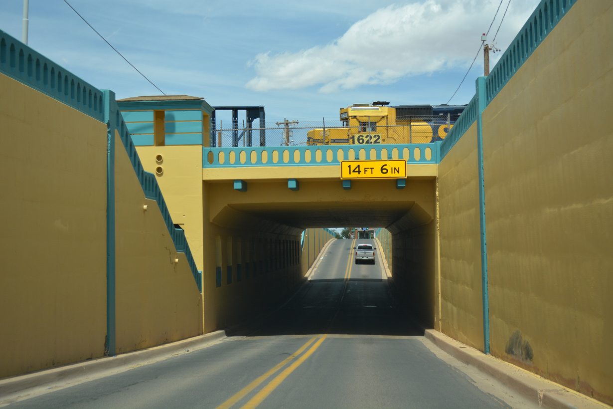
| Confirming markers precede the subway taking SR 87/99 (Williamson Avenue) below the BNSF Railroad yard. 04/27/17 |
|
| The BNSF Railroad subway along SR 87/99 in Winslow dates back to 1936. 04/27/17 |
|
| SR 87/99 ascend from the subway at Central Street, just ahead of Airport Road west to Winslow-Lindbergh Regional Airport (INW). 04/27/17 |
|
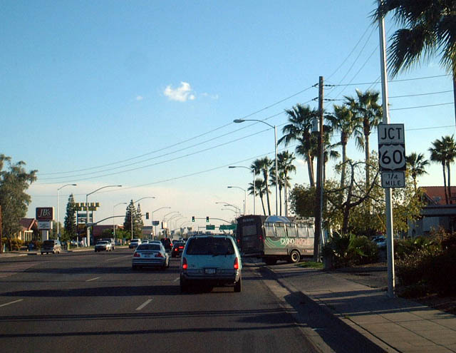
| Advancing south along SR 87 (Country Club Drive) to U.S. 60 (Superstition Freeway) in Mesa. This is a major commuter access point to the often busy Superstition Freeway. 03/02/03 |
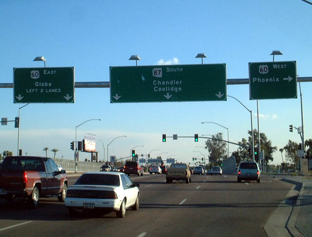
|
| SR 87 (Country Club Drive) south at U.S. 60 (Superstition Freeway) in Mesa. SR 87 continues as a through route to Chandler and Coolidge south of the metropolitan area. It ends at Interstate 10 near Eloy. 03/02/03 |
Photo Credits:- 03/02/03 by AARoads.
- 11/12/06 by Kevin Trinkle.
- 03/29/08 by Kevin Trinkle.
- 04/27/17 by AARoads.
Connect with:
Interstate 10
Interstate 40
Business Loop I-40 - Winslow
U.S. 60
State Route 99
State Route 188
Loop 202
State Route 260
Page Updated 04-01-2022.

 North
North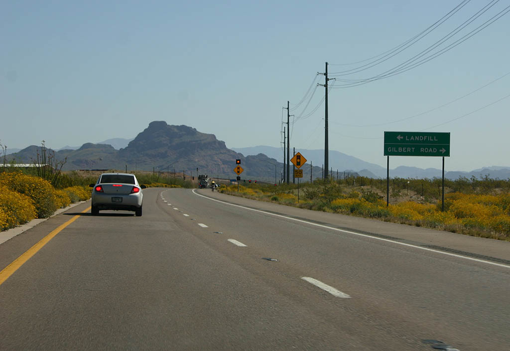


 North
North