Mobile County Route 70 lines Tanner Williams Road east from the Mississippi state line near Tanner Williams to Schillinger Road (CR 31) at Old Shell Road in Mobile. Unmarked within the city of Mobile, CR 70 continues east along Old Shell Road to Midtown.
Within Mobile, construction completed in Summer 2002 addressed traffic congestion and street flooding issues at the intersection of Old Shell Road and University Boulevard. Accommodating expansion of the University of South Alabama (USA) campus, Old Shell Road was widened to a four lane, divided boulevard west from University Boulevard to Hillcrest Road in 2004. Expansion from late 2009 to Spring 2011 rebuilt Old Shell Road into a five lane boulevard between Hillcrest Road and Schillinger Road.
Beyond Schillinger Road, CR 70 along Tanner Williams Road runs along the north side of Mobile Regional Airport (MOB), serving the USCG Aviation Training Center. Further west, Tanner Williams Road straddles southern reaches of Big Creek Lake, a man-made reservoir that supplies drinking water for the city of Mobile. The impounding of Big Creek submerged portions of the original Tanner Williams Road to the north. Tanner Williams Road extends west to Mississippi Highway 613 at Harleston.
|
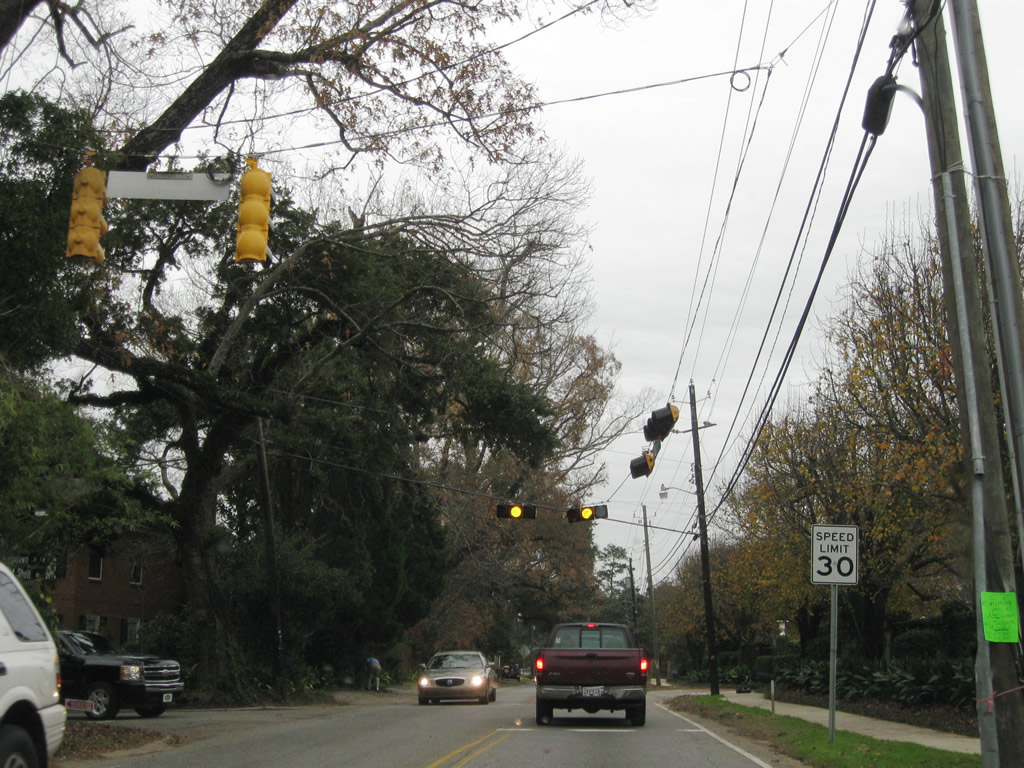
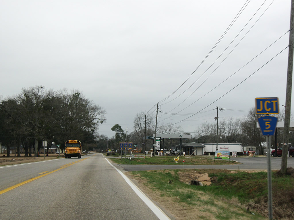
| Approaching CR 5 (Grand Bay Wilmer Road) south on CR 70 (Tanner Williams Road) east. 01/29/10 |
|
| CR 5 continues north from CR 70 via Wilmer Road to the west of Big Creek Lake. 01/29/10 |
|
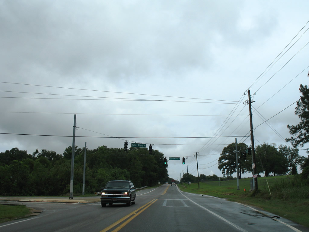
| A traffic light was added to Tanner Williams Road at Hubert Pierce Road by 2007. Hubert Pierce Road heads north and stairsteps to CR 72 (Howells Ferry Road). 07/16/07 |
|
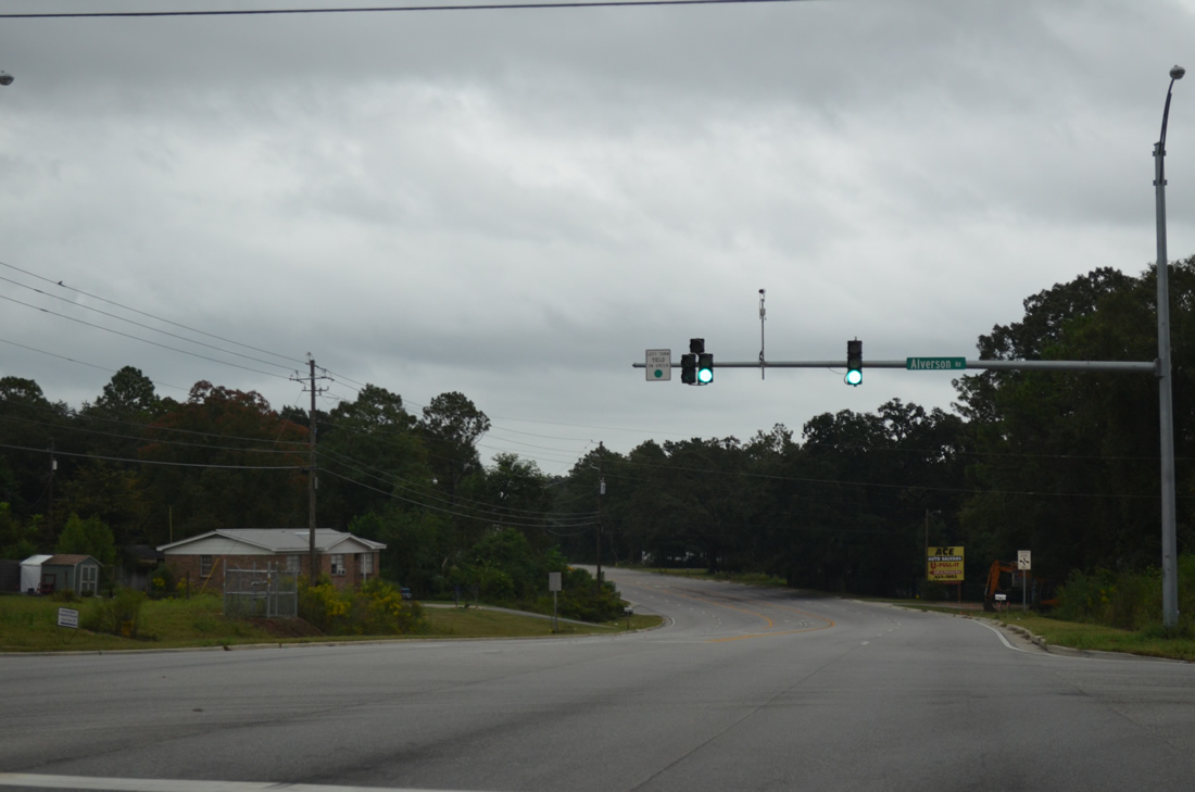
| Widening of Old Shell Road, completed by spring 2011, realigned the intersections of Alverson Road north and McKinley Avenue south to meet opposite one another. A traffic light was added as well. Both roads provide short cuts to nearby Schillinger Road and Airport Boulevard. 09/30/12 |
|
| Cody Road travels north to the Greater Gulf State Fairgrounds at Zeigler Boulevard and from there to Howells Ferry Road. Southward the three-lane arterial continues from Old Shell Road to become Sollie Road at Cottage Hill Road.
Cody Road once represented the western extent of the Mobile city limits. 09/30/12 |
|
| Foreman Road leads south from Old Shell Road to Airport Boulevard at Providence Hospital. Traffic lights were added here during the widening of Old Shell Road. 09/30/12 |
|
| Old Shell Road next meets the north end of Hillcrest Road, a busy arterial leading south to Three Notch Road near Tillman's Corner. Cleverdon Parkway ties in from western reaches of the University of South Alabama campus to the north. 09/30/12 |
|
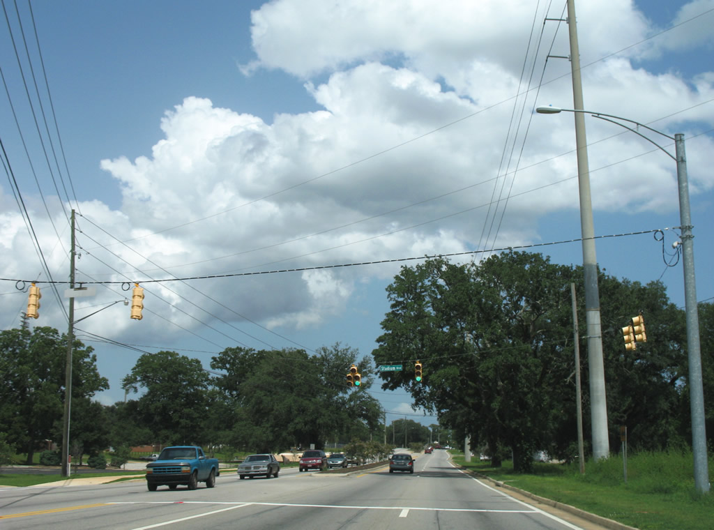
| Eastbound Old Shell Road at the intersection with Stadium Boulevard, a divided roadway with angled parking, leading north to USA Circle Drive and Eddie Stanky Field (home of the USA Jaguars baseball team). 07/17/07 |
|
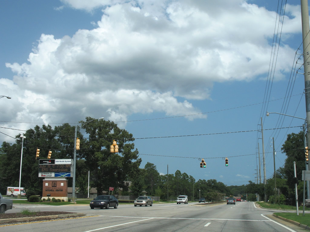
| Gravel Road and East Drive intersect Old Shell Road at the next eastbound traffic light. Gravel Road connects the arterial with USA South Drive and the Mitchell Center. East Drive comprises a neighborhood street leading south to the Ridgefield subdivision. The Mitchell Center opened in 1999 as the home for Jaguars basketball. The arena doubles as a concert venue. 07/17/07 |
|
| Widening of Old Shell Road resulted in needed improvements both in capacity and storm water management at the intersection with University Boulevard. University Boulevard straddles eastern reaches of the University on its northward path to U.S. 98 (Moffett Road). Old Shell Road reduces to two lanes after the University Shopping Village. 11/22/06 |
|
| Old Shell Road enters the leafy Spring Hill community, merges with Bit & Spur Road, and intersects Ridgelawn Drive East at a set of traffic lights. Ridgelawn Drive connects Old Shell with an adjacent residential area. 12/17/09 |
|
| McGregor Avenue crosses Old Shell Road at the commercial center of Spring Hill. McGregor leads south to Airport Boulevard at Azalea Road and north to Spring Hill Avenue near Langan Park. 12/17/09 |
|
| Tuthill Lane provides a connection between Old Shell Road and Spring Hill Avenue. The north-south road is laden with speed humps however. 12/17/09 |
|
| Interstate 65 passes over Old Shell Road without direct access in this eastbound scene. The East and West Interstate 65 Service Roads provide access to Spring Hill Avenue (Exit 5A) and Dauphin Street (Exit 4) for motorists destined for the freeway. 07/16/07 |
|
| Old Shell Road continues from the Canadian National Illinois Central Railroad underpass to a signalized intersection with Bay Shore Avenue. Bay Shore Avenue begins here and heads north to U.S. 98 (Spring Hill Avenue), Mill Street, and Poplar Street in the Crichton section of Mobile. 07/16/07 |
|
| Mobile Street flows northward from Dauphin Street to intersect Old Shell Road at this intersection. The street carries two way traffic northward to Fillingham Street and the Crichton community. 07/16/07 |
|
| Florida Street crosses Old Shell Road between U.S. 98 (Spring Hill Avenue) and Airport Boulevard at Grant Street. 07/16/07 |
|
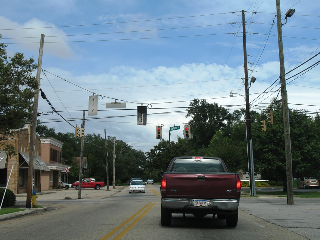
| Upham Street connects Old Shell Road with adjacent Dauphin Street to the south. Northward, the street continues to Ashland Place Avenue and U.S. 98 (Spring Hill Avenue). 07/16/07 |
|
| A mix of 30" Traffic Signal Corporation and Crouse Hinds signals were in use at the time of this photograph between Old Shell Road, Mobile Infirmary Boulevard north and Kenneth Street south. 07/16/07 |
|
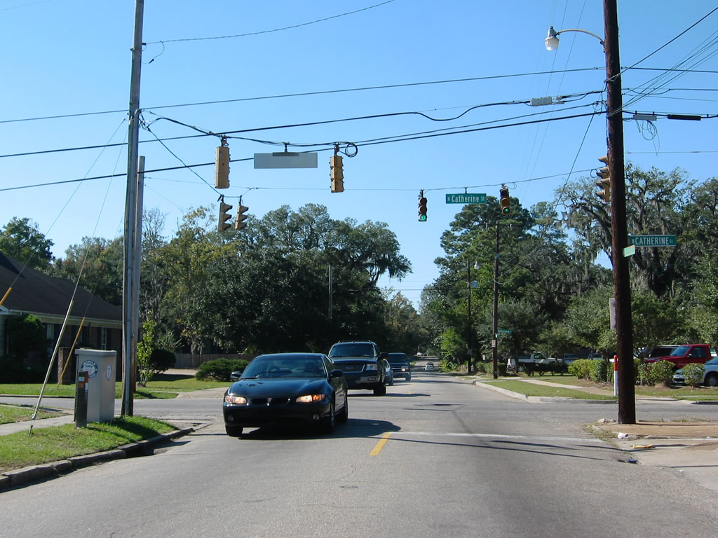
| Catherine Street joins U.S. 45 (St. Stephens Road) with U.S. 90 (Government Street). Use the street north to the USA Springhill Campus Care Center and Lyons Park. 07/16/07 |
|
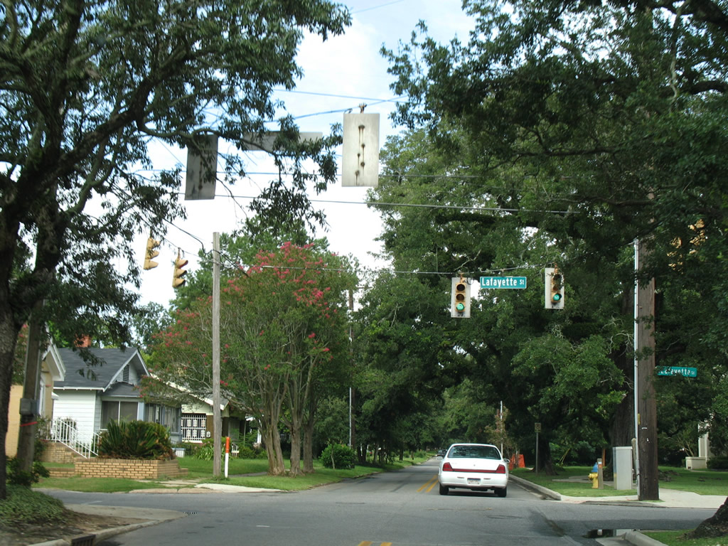
| Lafayette Street joins Old Shell Road with U.S. 45 and 90 and Dr. Martin Luther King Jr. Avenue at Bishop State Community College's Central Campus. Note the older Traffic Signal Corporation signals in use here. 07/16/07 |
|
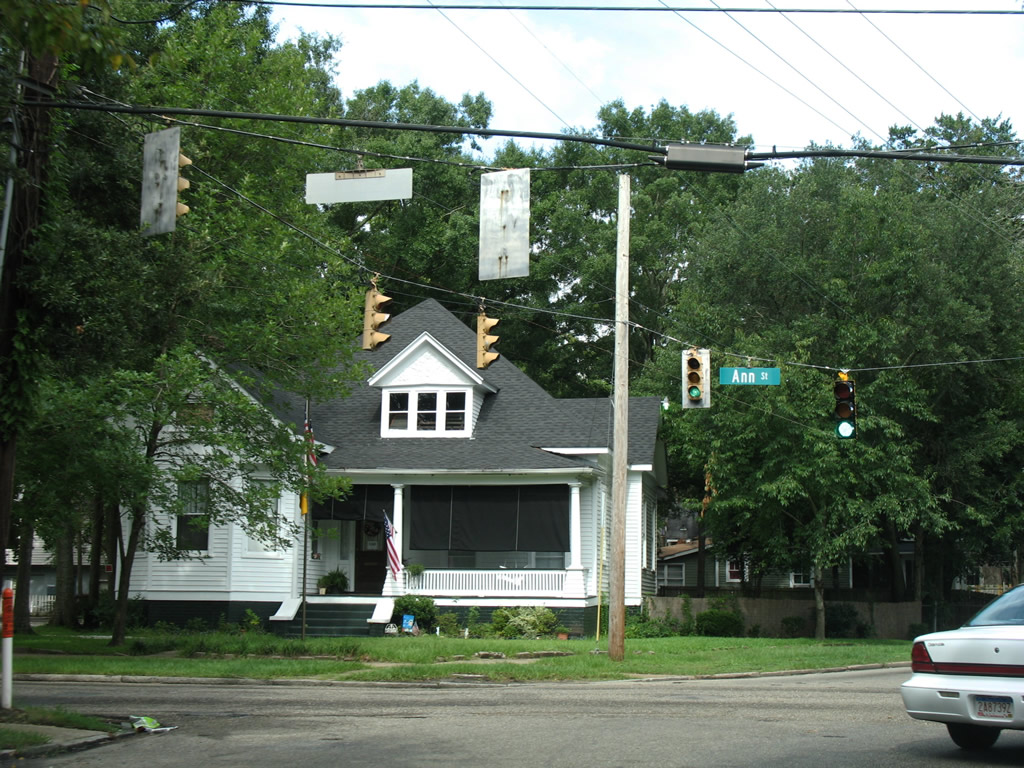
| Old Shell Road sees its last set of traffic lights above the intersection with Ann Street. Ann Street constitutes a through street north to Dr. Martin Luther King Jr. Avenue and south to Government Street one block east of Michigan Avenue. 07/16/07 |
|
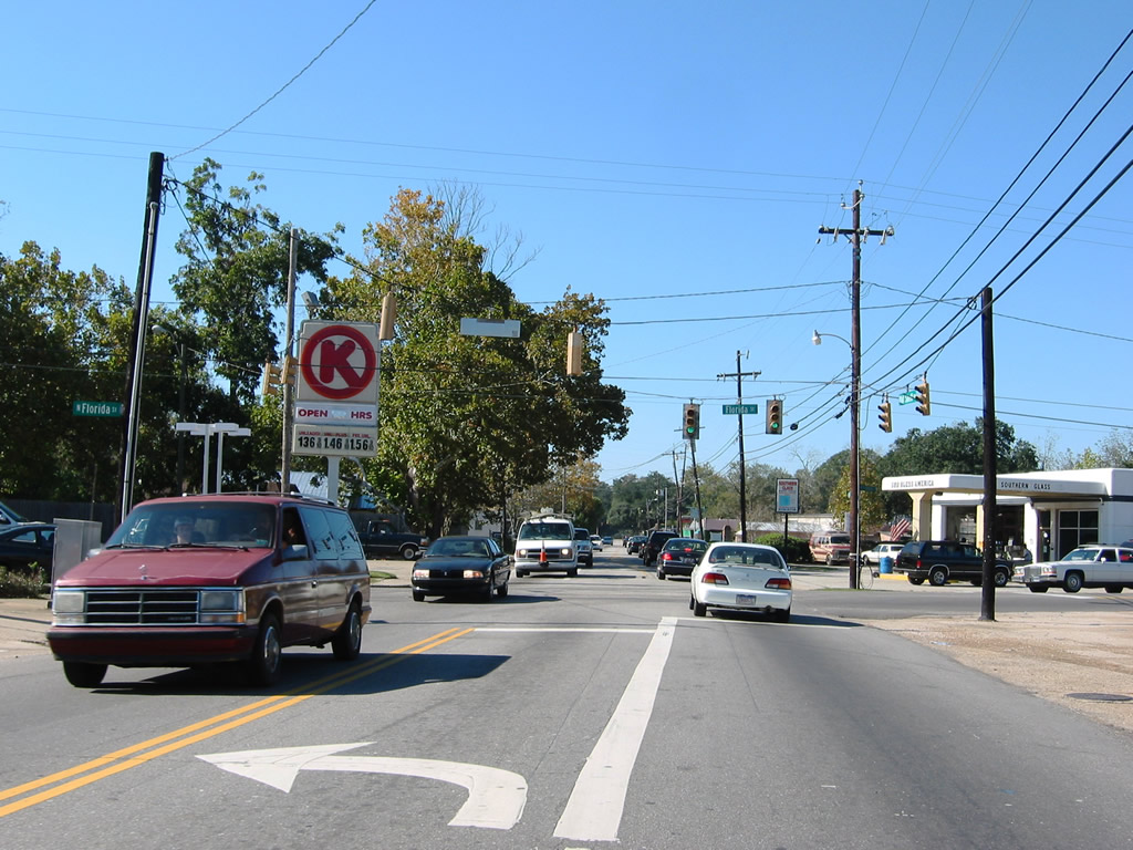
| Old Shell Road begins from Downtown Mobile at Broad Street. At one point, there used to be a traffic signal on that intersection. Construction to fix the flooding problems along Broad Street in 1976-1977 resulted in a cement divider erected along Broad Street from Church Street to Congress Street. As a result drivers can no longer take a left turn from Broad Street north to Old Shell Road west (or to Church and Conti Streets, for that matter). This change resulted in a dramatic decrease of traffic along Old Shell Road from Broad to Ann Streets. The flashing signal pictured here at Hallett Street replaced the 24" Eagle brand signals during the late-1970s/early 1980s.4 11/03/03 |
|
| The first of two signalized intersections with secondary through streets west of downtown Mobile. Here Ann Street intersects Old Shell Road. Ann Street travels southward to Government Street and Michigan Avenue, allowing traffic an access to Interstate 10 via Exit 24. The older signals along the eastern reaches of Old Shell Road were erected in 1976 from Hallett Street to Sage Avenue (with the exception of Louiselle Street-Kenneth Street). Previously, southern one-piece four-way traffic lights used to be erected along Old Shell Road. Hurricane Frederic in September 1979 blew away some of the 24" Eagle brand signals, and more notably the metal sun visors on signals for the north-south streets facing Old Shell Road (see next photo as well).4
These signals were replaced after 2007. 11/03/03 |
|
| Three blocks to the west is the intersection with Lafayette Street. Again 24" Eagle brand signals with metal sun visors were in place (replaced after 2007). Lafayette Street is a secondary surface artery between U.S. 90/Government Street and Martin Luther King Junior Drive near the Bishop State Community College North campus. 11/03/03 |
|
| The intersection of Old Shell Road westbound with Catherine Street also receives a traffic signal. One block northward, Catherine Street travels to the USA Springhill Campus Care Center (Old Providence Hospital).
The signals here were replaced by 2007 with 36" Eagle brand assemblies. 11/03/03 |
|
| Old Shell Road westbound converges with Mobile Infirmary Boulevard (formerly Louiselle Street) north and Kenneth Street south at a skewed intersection. 24" Crouse Hinds and Traffic Signal Corporation brand signals remained in use at this intersection to November 2011. 11/03/03 |
|
| Old Shell Road at the intersection with Upham Street. This north-south street connects U.S. 98 (Spring Hill Avenue) with Dauphin Street one block to the south. 11/03/03, 11/27/11 |
|
| The final set of 30" Crouse Hinds signals (since replaced) along Old Shell Road were found at the intersection with Florida Street. This secondary street travels north to U.S. 98 where it concludes. Southward the roadway intersects Dauphin Street in four blocks. 11/03/03 |
|
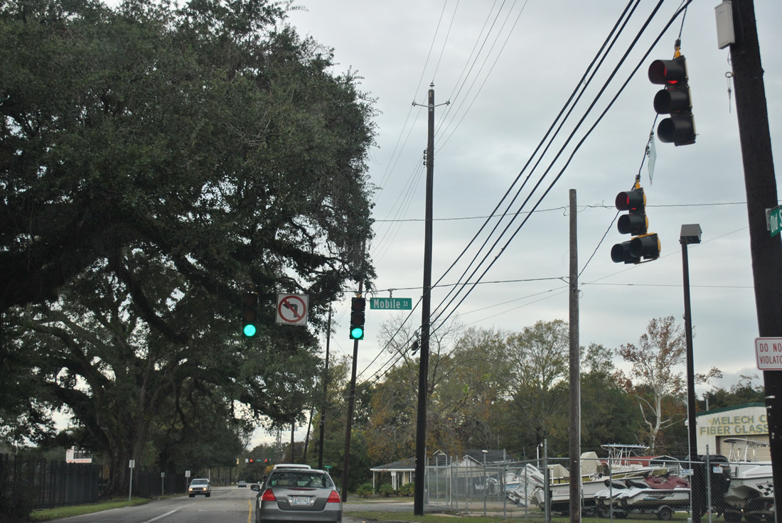
| Mobile Street flows north from Dauphin Street by a private school to become a two-way street north of these signals at Old Shell Road to the Toulminville and Neely neighborhoods of the city. 11/27/11 |
|
| Old Shell Road meets University Boulevard at the southeast corner of the University of Alabama campus. Widening of Old Shell Road occurred by 2004 from this intersection westward to Hillcrest Road. Before construction upgraded the route, the intersection at University Boulevard was subject to flooding during heavy rain events. The north-south arterial otherwise joins the university with Cottage Hill Road and U.S. 90 (Government Boulevard) to the south and U.S. 98 (Moffett Road) and Prichard to the north. 11/27/11 |
|
| Jaguar Drive provides the first of four intersections serving the adjacent University of South Alabama campus along Old Shell Road west. Jaguar Drive connects the four lane arterial with USA South Drive. The signals are set to flash during off-times. 11/27/11 |
|
| Gravel Road south and East Drive north come together just southwest of the USA Mitchell Center. The Mitchell Center hosts the Jaguars basketball games and concert events. 01/16/09 |
|
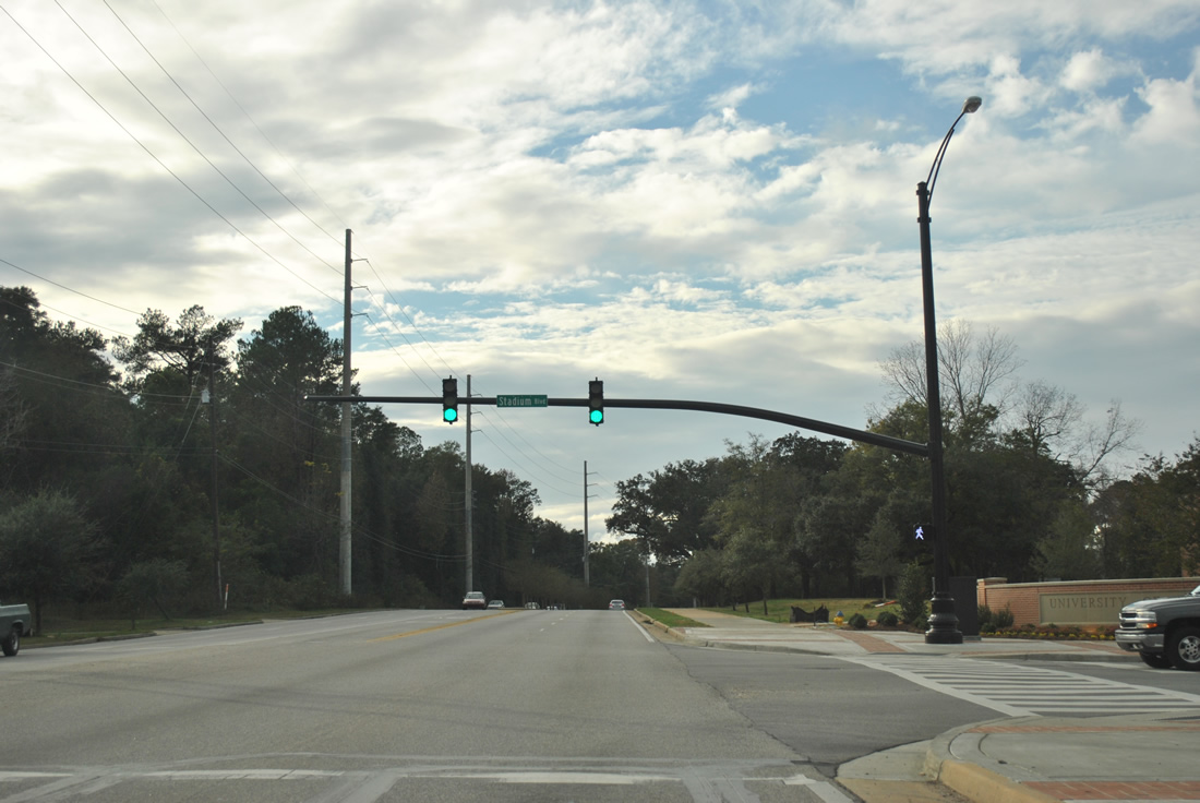
| Stadium Boulevard meanders northeast from Old Shell Road to Eddie Stanky Field (home of Jaguars baseball) and USA Circle Drive in the heart of campus.
Mast arm based signals replaced the span-wire assembly by 2011. 11/27/11 |
|
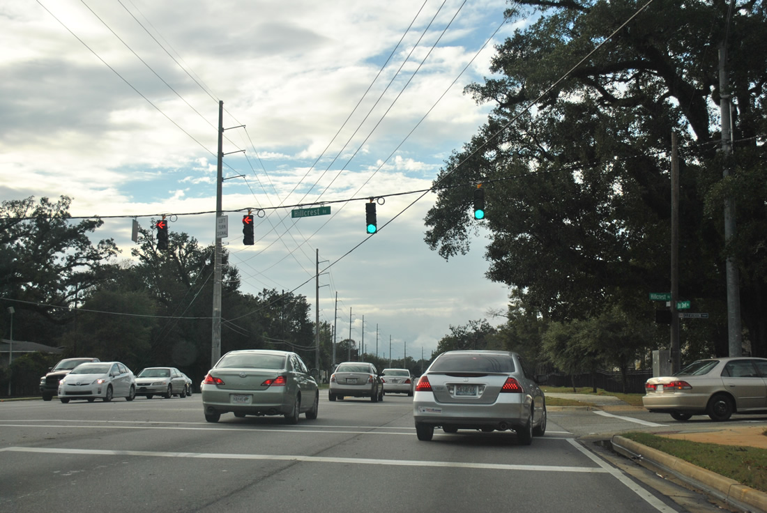
| Hillcrest Road begins and heads south from Old Shell Road. The four to five lane arterial links the University area with Three Notch-Kroner Road (CR 32) near Tillman's Corner.
Cleverdon Parkway joins Hillcrest and Old Shell from the north. The mid 2000s-created road serves a newly built area of campus and associated apartment complexes. 11/27/11 |
|
| Widening of Old Shell Road into a five lane arterial included a fully signalized upgrade of the intersection with Foreman Road south. Foreman Road provides a connector to Airport Boulevard at Providence Hospital. 11/27/11 |
|
| Westbound Old Shell Road at Cody Road (CR 37). Cody Road used to straddle the city line north to Howells Ferry Road and south to Cottage Hill Road, but annexations have pushed the city line westward to Schillinger Road.
Widening of Old Shell Road commenced between Hillcrest and Schillinger Roads in late 2009. Completion of the project occurred by spring 2011. 01/16/09, 11/27/11 |
|
| Widening of Old Shell Road also realigned McKinley Avenue to directly tie into the intersection with Alverson Road south. A traffic light was added in the process. McKinely provides a short cut to Schillinger Road (CR-31) north while Alverson connects Old Shell Road with Airport Boulevard to the south. 11/27/11 |
|
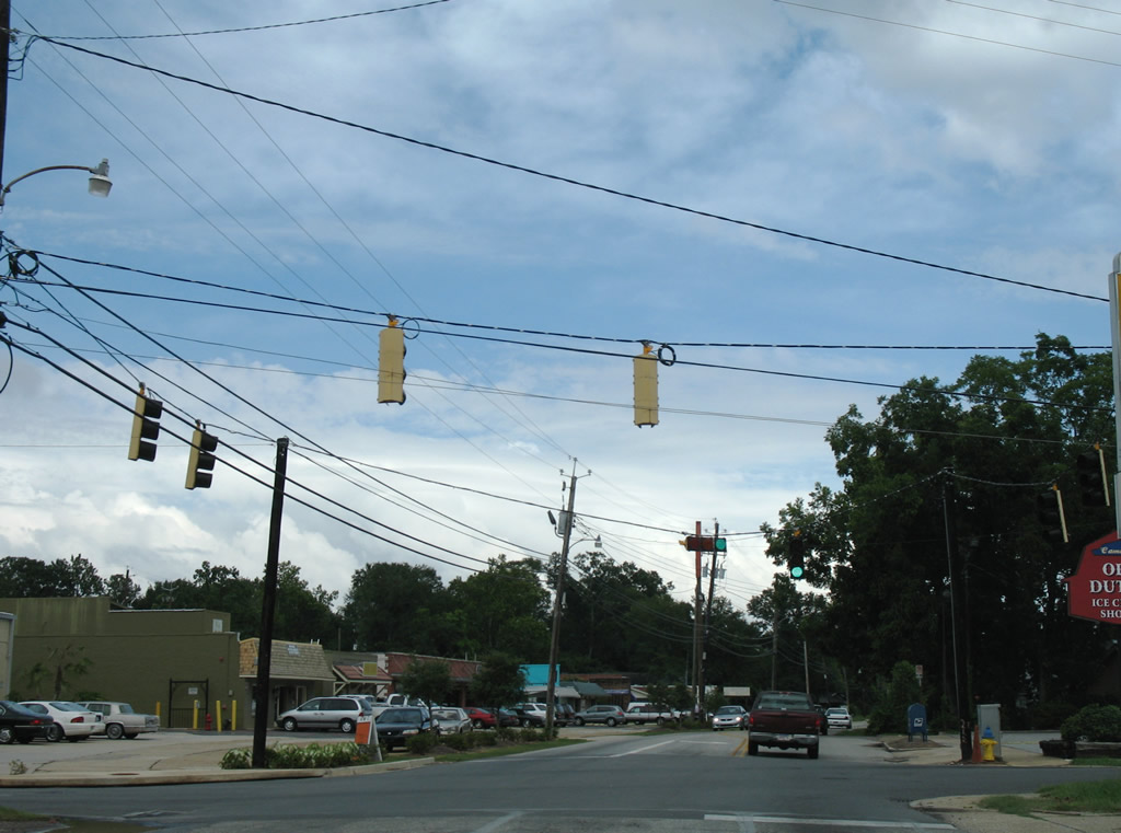
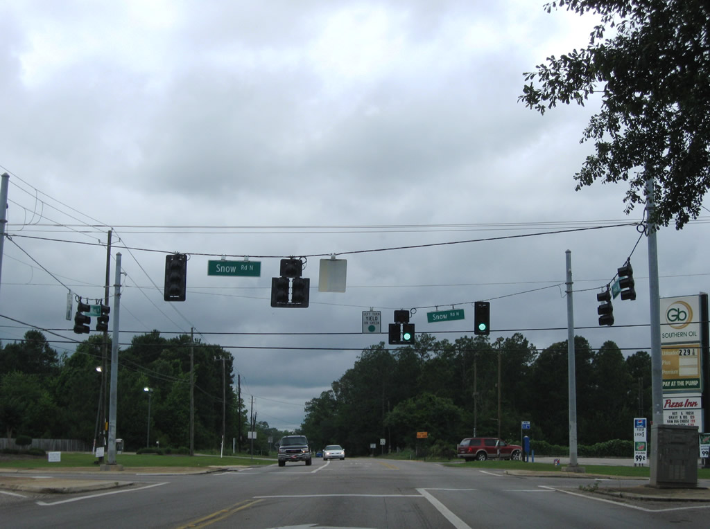
| Westbound Tanner Williams Road at the signalized intersection with Snow Road (CR 25). Snow Road heads north to U.S. 98 (Moffett Road) at Semmes and south to Airport Boulevard at suburban areas of West Mobile. 05/23/09 |
|
| Entering the community of Tanner Williams, CR 70 meets the CR 5 (Wilmer Road) north. 01/29/10 |
|
| CR 5 follows Wilmer Road from Tanner Williams to U.S. 98 at Wilmer. 01/29/10 |
|
| One third of a mile west, CR 5 branches south from CR 70 (Tanner Williams Road) along Grand Bay Wilmer Road to Airport Boulevard. 01/29/10 |
|
| Tanner Williams Road continues CR 70 another 2.5 miles to the Mississippi State line east of Harleston. 01/29/10 |
Photo Credits:- 11/03/03 by AARoads.
- 11/22/06 by AARoads and Justin Cozart.
- 07/16/07 by AARoads.
- 07/17/07 by AARoads.
- 01/16/09 by AARoads.
- 05/23/09 by AARoads.
- 12/17/09 by AARoads.
- 01/29/10 by AARoads.
- 11/27/11 by AARoads.
- 09/30/12 by AARoads.
Connect with:
U.S. 90
U.S. 98
County Road 5 - Wilmer Hwy / Grand Bay Wilmer Rd
County Road 25 - Snow Road
County Road 31 - Schillinger Road
County Road 37 - Cody Road
Page Updated 10-01-2012.

 East
East